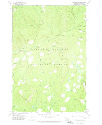
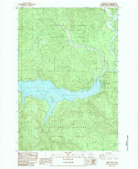
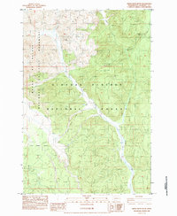
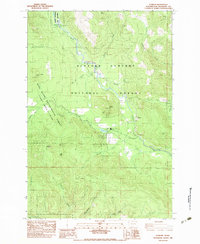
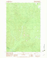
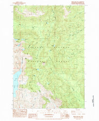
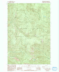
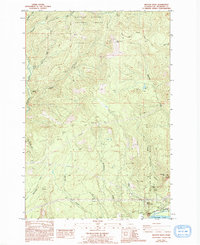
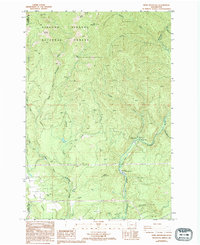
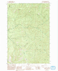
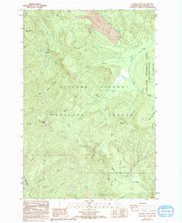
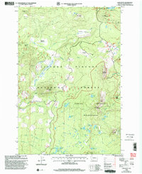
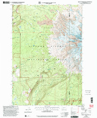
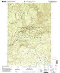
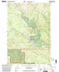
2023 Map of Cedar Flats
USGS Topo · Published 2023About this map
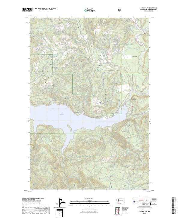
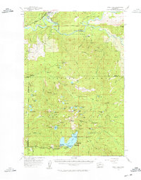
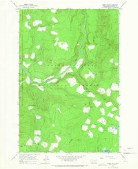
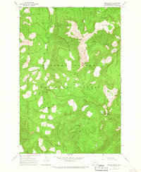
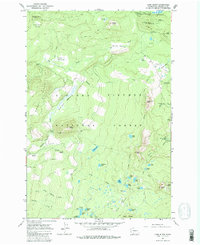
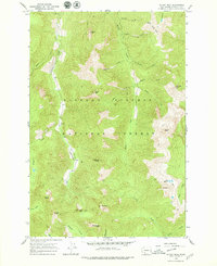
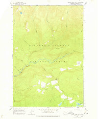
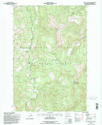
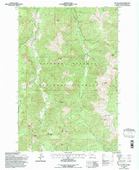
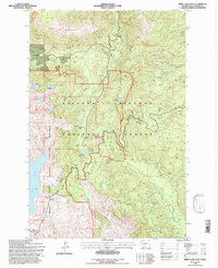
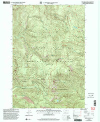
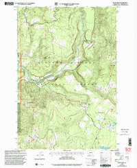
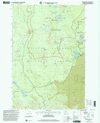
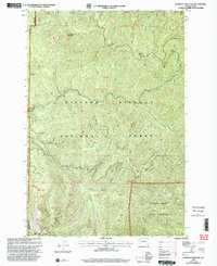
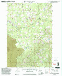
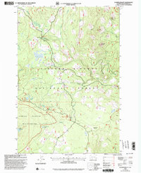
Swift Reservoir and the Lewis River corridor anchor this portrait of the Washington backcountry within the Gifford Pinchot National Forest. The landscape is defined by the convergence of several major drainages, including the Muddy River, Pine Creek, and Clear Creek, which flow through the steep terrain surrounding McClellan Mtn. The small settlement at Cedar Flats and the nearby Eagle Cliffs represent the few named points of human activity in an area otherwise dominated by Forest Service infrastructure like the Randle-Lewis River road and No 10 Rd. The map also illustrates the southern expanse of the reservoir, showing how the flooded canyon floor interacts with the natural topography of Paradise Valley and the drainage of Drift Creek.
Find a feature on this map
27 named features on this map. Tap any name to fly to it.
Don’t see what you’re looking for? This feature index may not catch every label — zoom into the map to look around manually.
Map Details
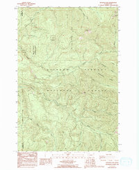
Editions of this 2023 Cedar Flats Map
This is the sole edition of this map. No revisions or reprints were ever made.
Historical Maps of Northwoods Through Time
102 maps found
1926 Steamboat Mtn
Skamania County, WA

1931 Steamboat Mtn
Skamania County, WA

1940 Lookout Mtn
Skamania County, WA
1953 Lookout Mtn
Skamania County, WA
1954 Bridal Veil
Skamania County, WA
1957 Spirit Lake
Skamania County, WA
1957 Willard
Skamania County, WA
1957 Wind River
Skamania County, WA
1958 Mt St. Helens
Skamania County, WA
1965 Burnt Peak
Skamania County, WA
1965 French Butte
Skamania County, WA
1965 Lone Butte
Skamania County, WA
1965 Mc Coy Peak
Skamania County, WA
1965 Quartz Creek Butte
Skamania County, WA
1965 Spencer Butte
Skamania County, WA

1970 East Canyon Ridge
Skamania County, WA
1970 Green Mountain
Skamania County, WA
1970 Mount Adams West
Skamania County, WA

1970 Sleeping Beauty
Skamania County, WA
1970 Steamboat Mtn.
Skamania County, WA
1975 Mt. St. Helens NE
Skamania County, WA

1975 Mt. St. Helens SE
Skamania County, WA
1975 Spirit Lake SE
Skamania County, WA

1975 Spirit Lake SW
Skamania County, WA

1979 Bonneville Dam
Skamania County, WA
1983 Big Huckleberry Mtn
Skamania County, WA
1983 Cedar Flats
Skamania County, WA
1983 Gifford Peak
Skamania County, WA
1983 Little Huckleberry Mtn
Skamania County, WA
1983 Mount St. Helens
Skamania County, WA
1983 Smith Creek Butte
Skamania County, WA
1983 Stabler
Skamania County, WA
1983 Termination Point
Skamania County, WA

1983 Willard
Skamania County, WA

1984 Mt Mitchell
Skamania County, WA
1984 Spirit Lake East
Skamania County, WA

1984 Spirit Lake West
Skamania County, WA
1986 Bare Mountain
Skamania County, WA
1986 Beacon Rock
Skamania County, WA
1986 Bobs Mountain
Skamania County, WA
1986 Gumboot Mtn
Skamania County, WA
1986 Lookout Mtn
Skamania County, WA
1986 Siouxon Peak
Skamania County, WA

1994 Beacon Rock
Skamania County, WA
1994 Big Huckleberry Mtn
Skamania County, WA

1994 Bonneville Dam
Skamania County, WA
1994 East Canyon Ridge
Skamania County, WA
1994 French Butte
Skamania County, WA

1994 Green Mountain
Skamania County, WA
1994 Mc Coy Peak
Skamania County, WA
1994 Spirit Lake East
Skamania County, WA

1994 Willard
Skamania County, WA
1998 Bare Mountain
Skamania County, WA
1998 Burnt Peak
Skamania County, WA

1998 Cedar Flats
Skamania County, WA
1998 Gifford Peak
Skamania County, WA
1998 Gumboot Mountain
Skamania County, WA
1998 Little Huckleberry Mountain
Skamania County, WA
1998 Lone Butte
Skamania County, WA

1998 Lookout Mountain
Skamania County, WA
1998 Mount Adams West
Skamania County, WA

1998 Mount St. Helens
Skamania County, WA

1998 Mt Mitchell
Skamania County, WA
1998 Quartz Creek Butte
Skamania County, WA
1998 Siouxon Peak
Skamania County, WA
1998 Sleeping Beauty
Skamania County, WA
1998 Smith Creek Butte
Skamania County, WA
1998 Spencer Butte
Skamania County, WA
1998 Spirit Lake West
Skamania County, WA
1998 Stabler
Skamania County, WA

1998 Steamboat Mountain
Skamania County, WA
1998 Termination Point
Skamania County, WA

2000 Bobs Mountain
Skamania County, WA
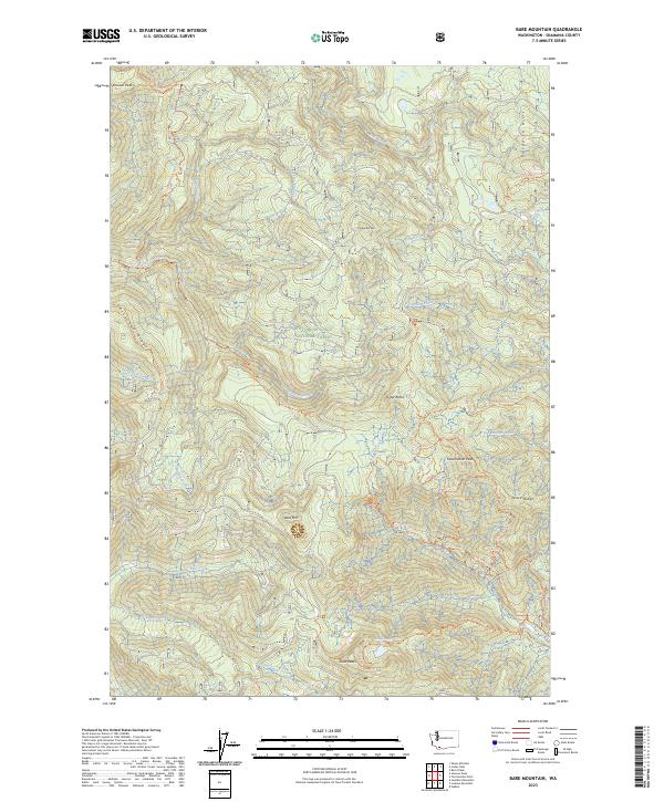
2023 Bare Mountain
Skamania County, WA
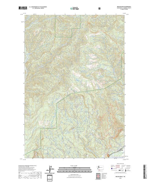
2023 Beacon Rock
Skamania County, WA
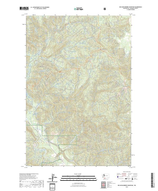
2023 Big Huckleberry Mountain
Skamania County, WA
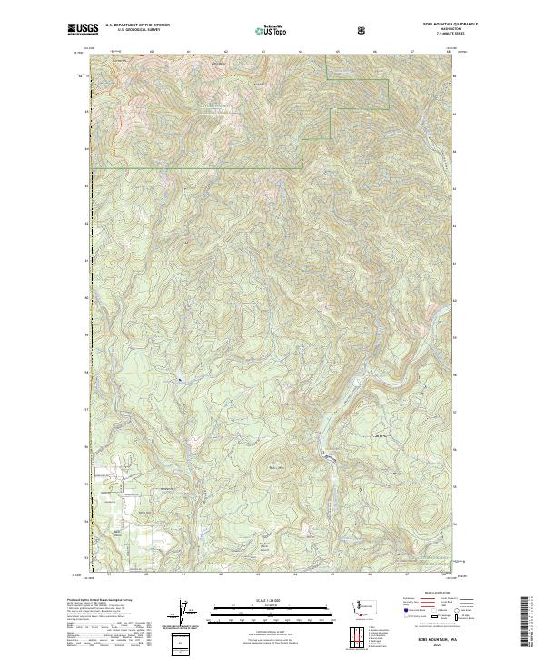
2023 Bobs Mountain
Skamania County, WA
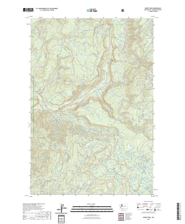
2023 Burnt Peak
Skamania County, WA
2023 Cedar Flats
Skamania County, WA
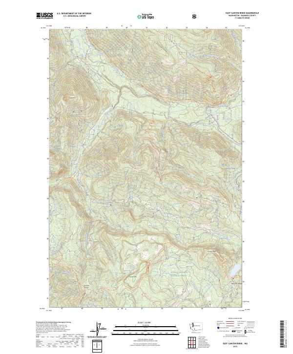
2023 East Canyon Ridge
Skamania County, WA
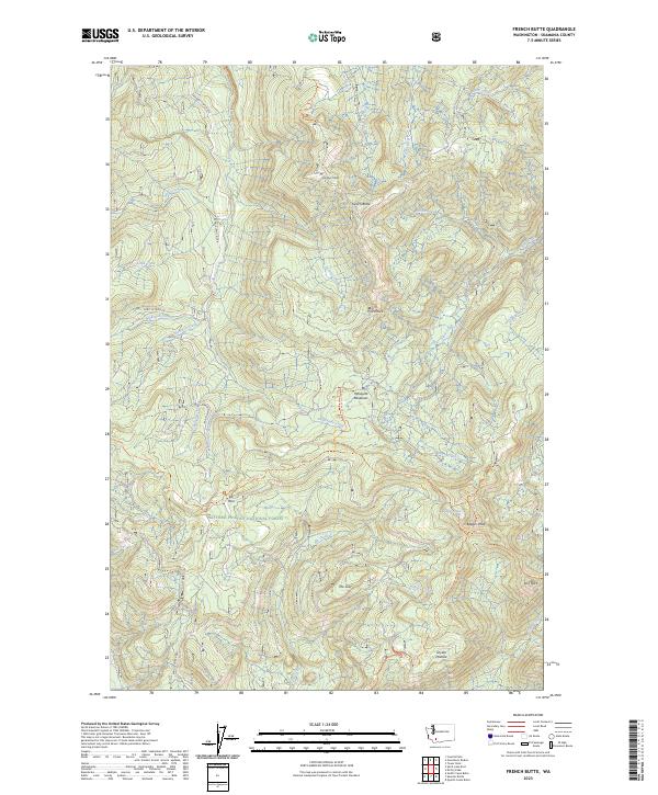
2023 French Butte
Skamania County, WA
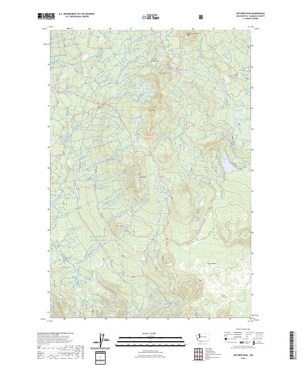
2023 Gifford Peak
Skamania County, WA
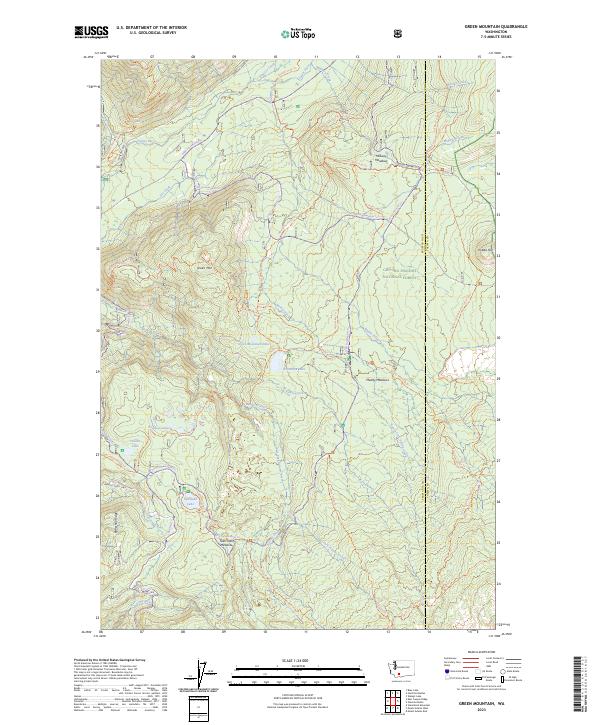
2023 Green Mountain
Skamania County, WA
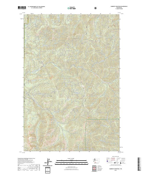
2023 Gumboot Mountain
Skamania County, WA
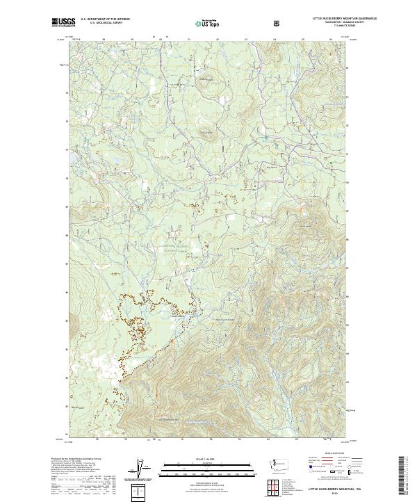
2023 Little Huckleberry Mountain
Skamania County, WA
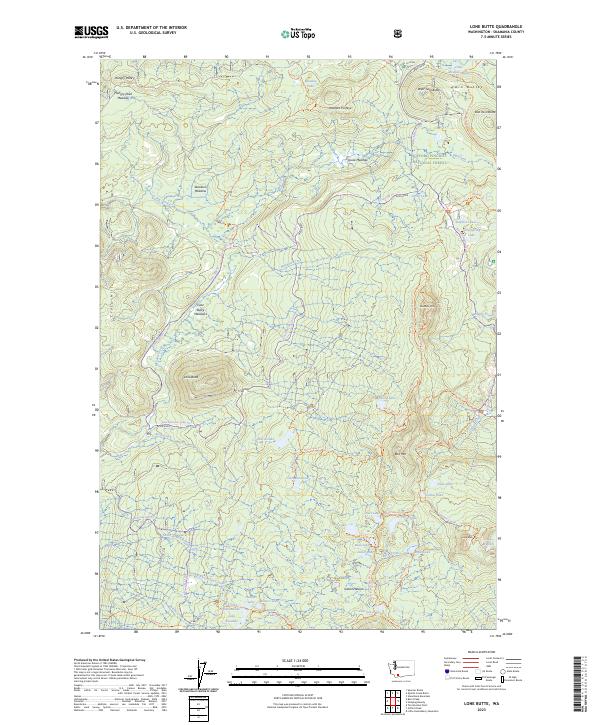
2023 Lone Butte
Skamania County, WA
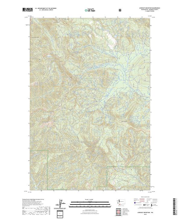
2023 Lookout Mountain
Skamania County, WA
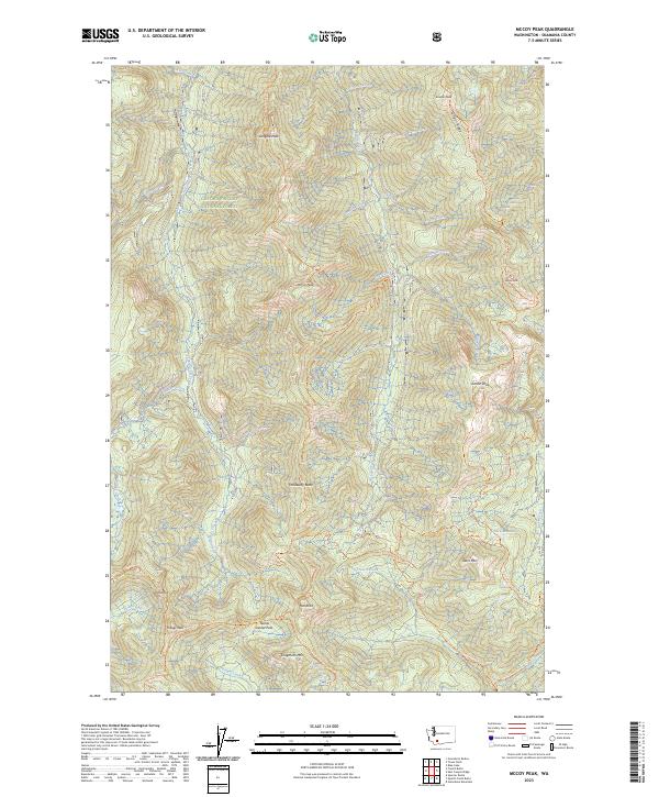
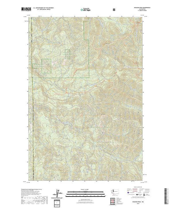
2023 McCoy Peak
Skamania County, WA
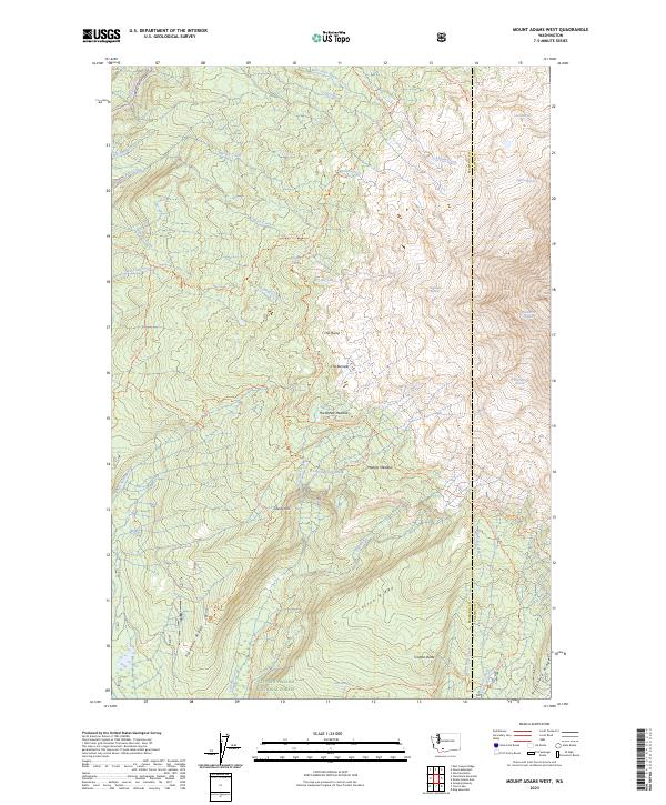
2023 Mount Adams West
Skamania County, WA
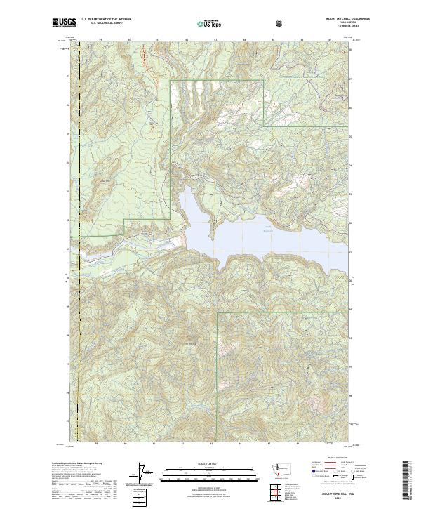
2023 Mount Mitchell
Skamania County, WA
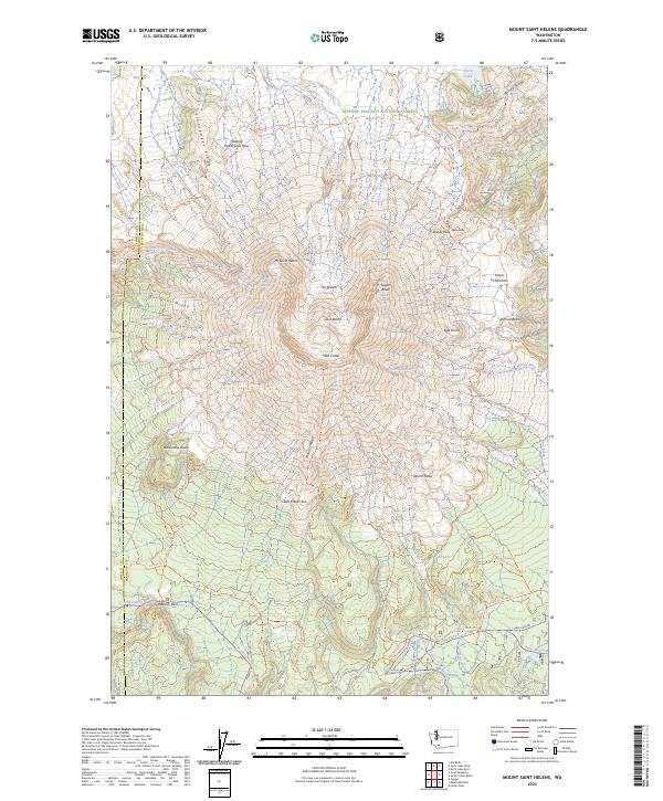
2023 Mount Saint Helens
Skamania County, WA
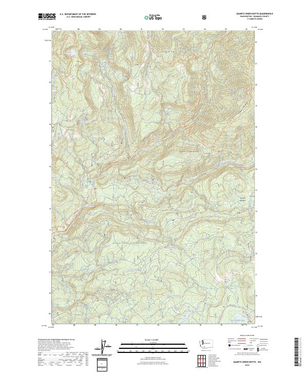
2023 Quartz Creek Butte
Skamania County, WA
2023 Siouxon Peak
Skamania County, WA
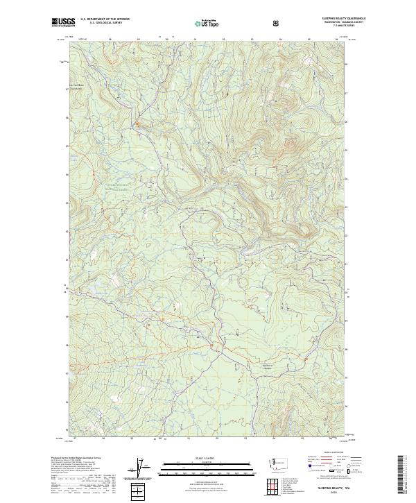
2023 Sleeping Beauty
Skamania County, WA
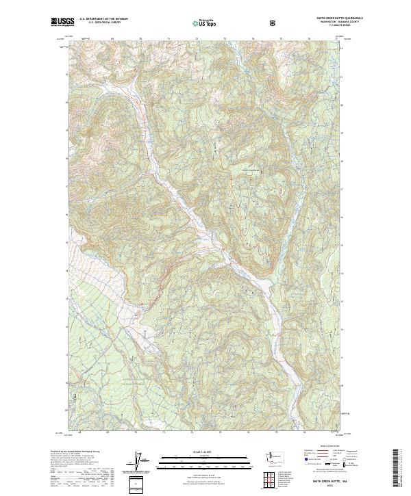
2023 Smith Creek Butte
Skamania County, WA
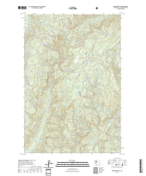
2023 Spencer Butte
Skamania County, WA
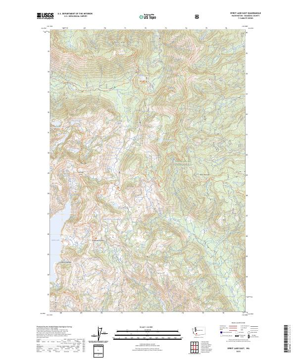
2023 Spirit Lake East
Skamania County, WA
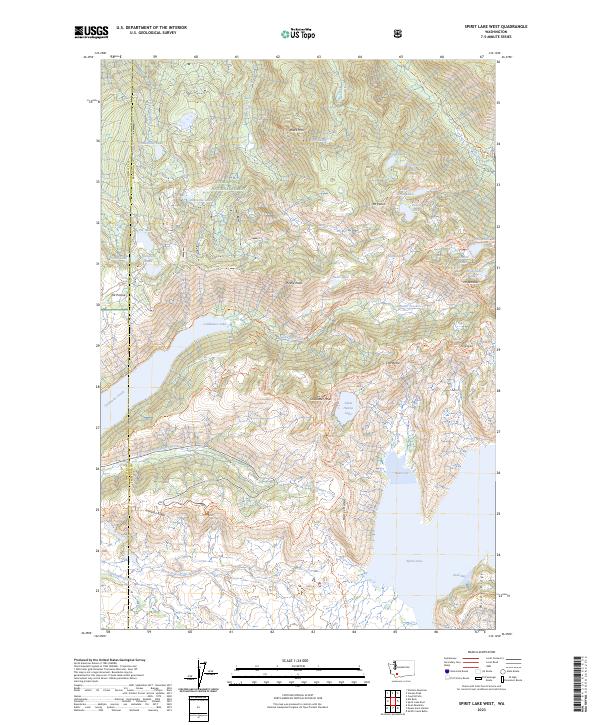
2023 Spirit Lake West
Skamania County, WA
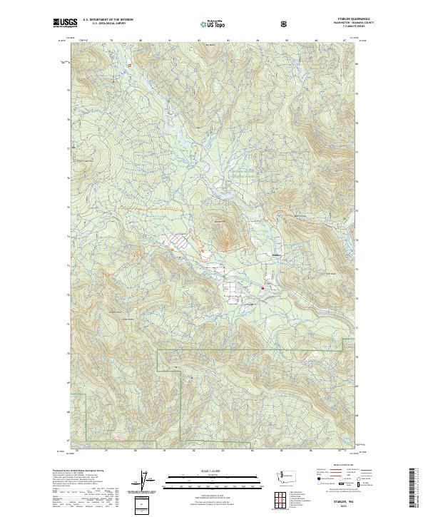
2023 Stabler
Skamania County, WA
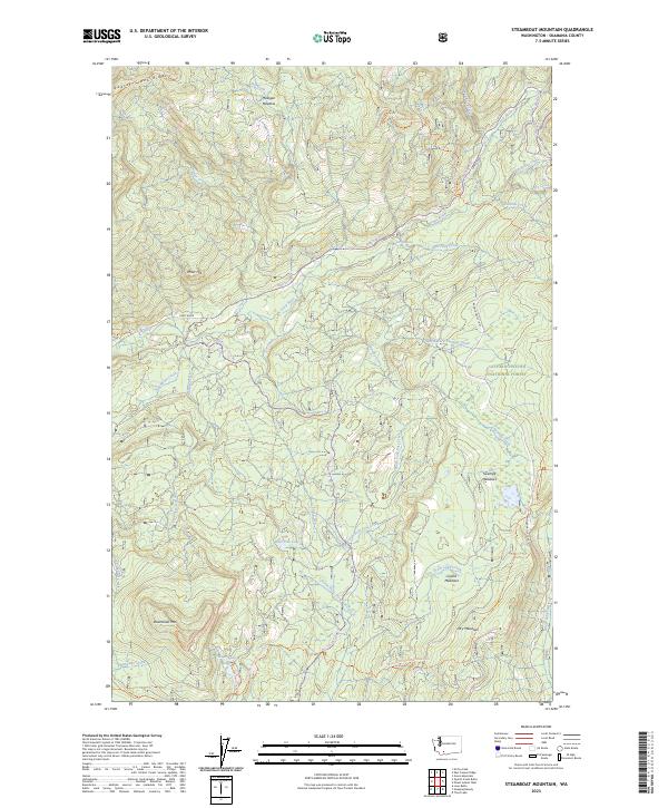
2023 Steamboat Mountain
Skamania County, WA
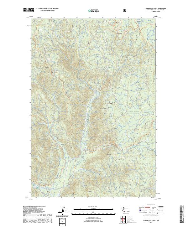
2023 Termination Point
Skamania County, WA
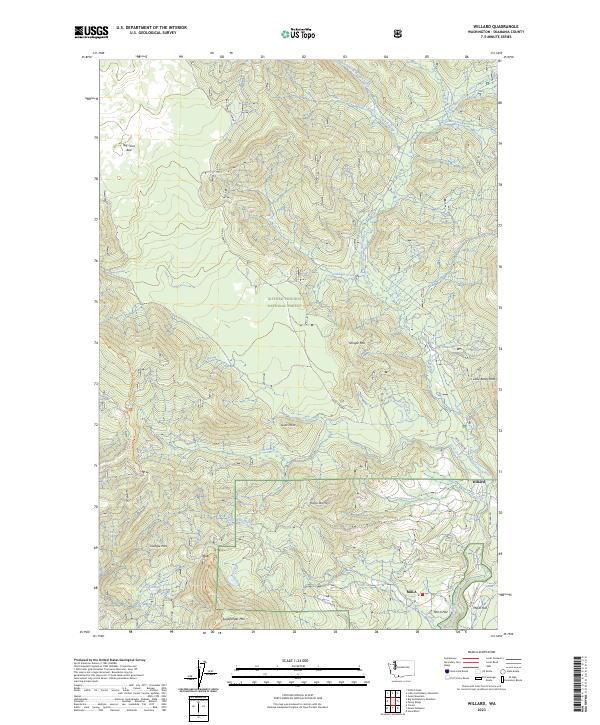
2023 Willard
Skamania County, WA