
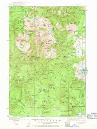
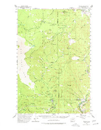
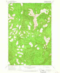
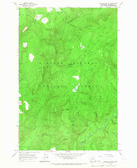
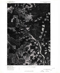
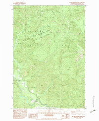
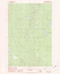
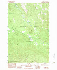
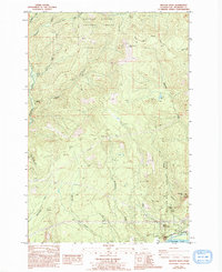
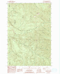
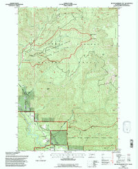
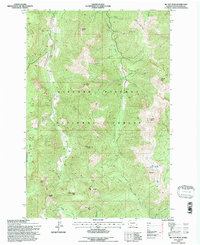
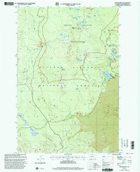
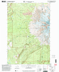
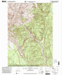
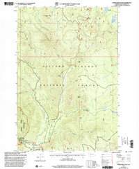
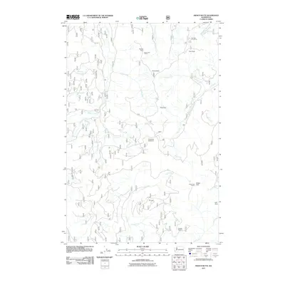
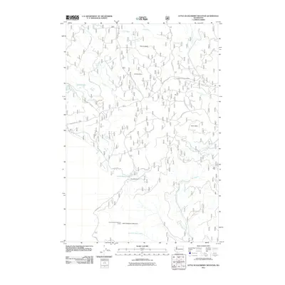
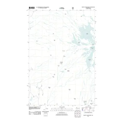
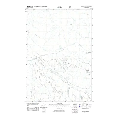
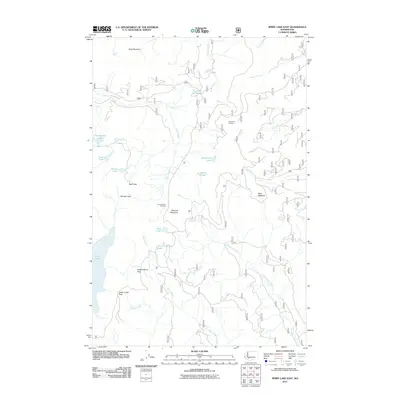
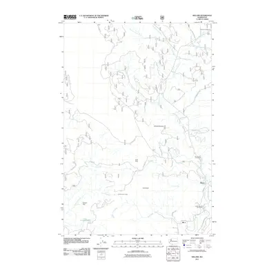
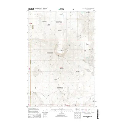
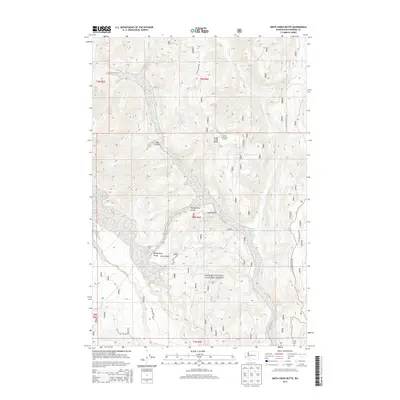
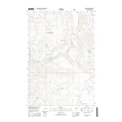
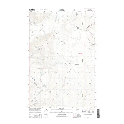
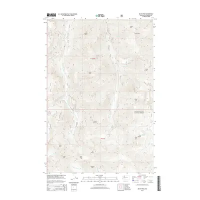
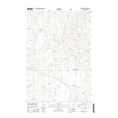
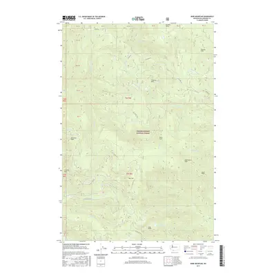
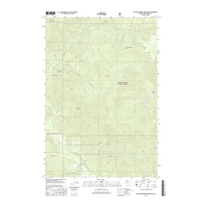
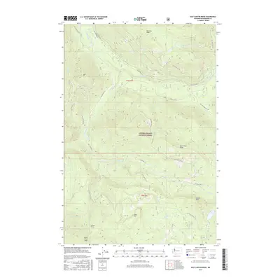
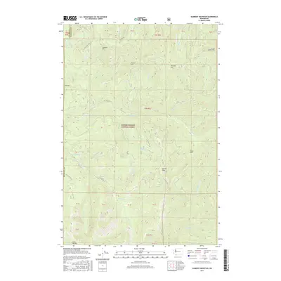
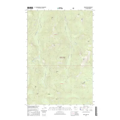
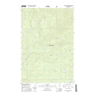
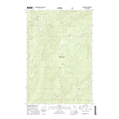
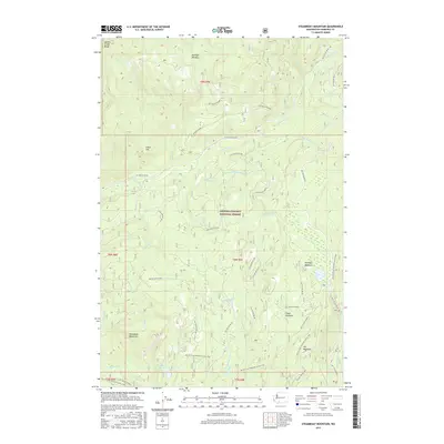
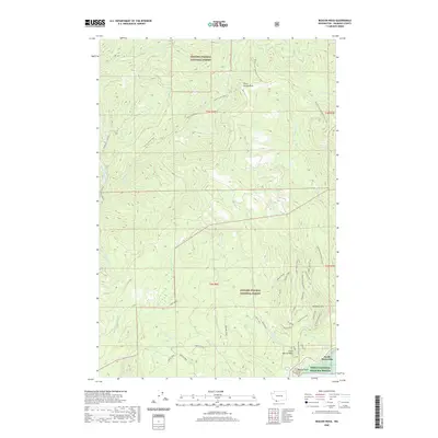
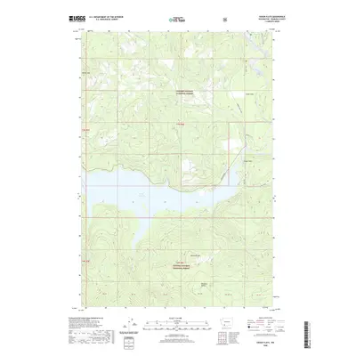
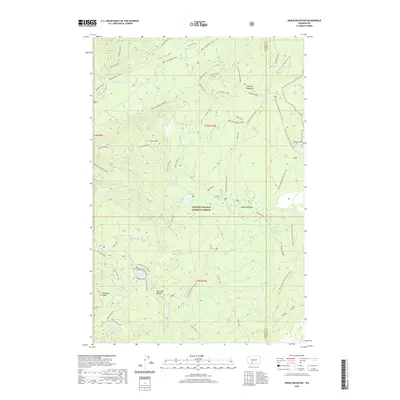
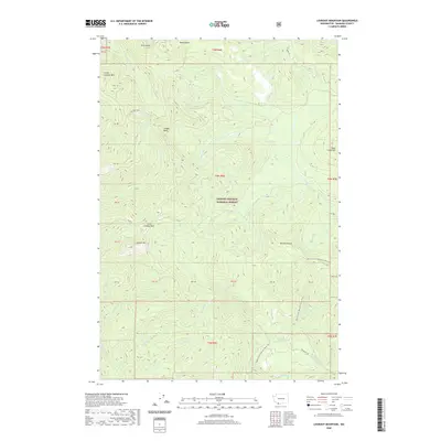
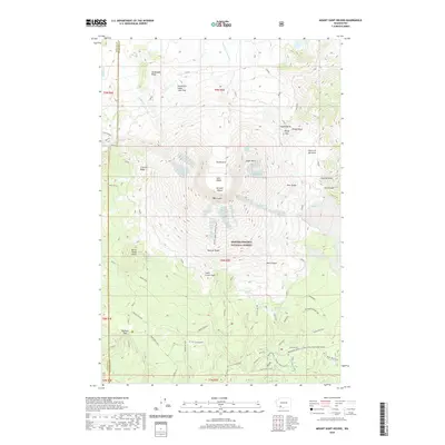
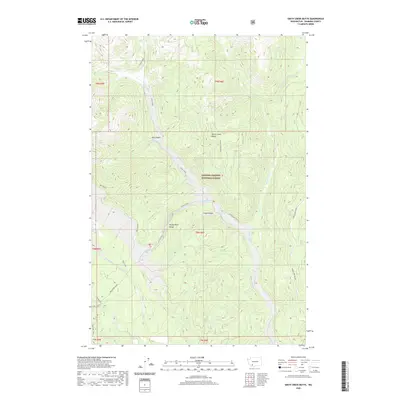
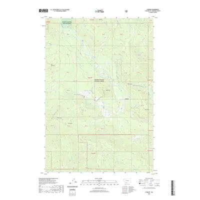
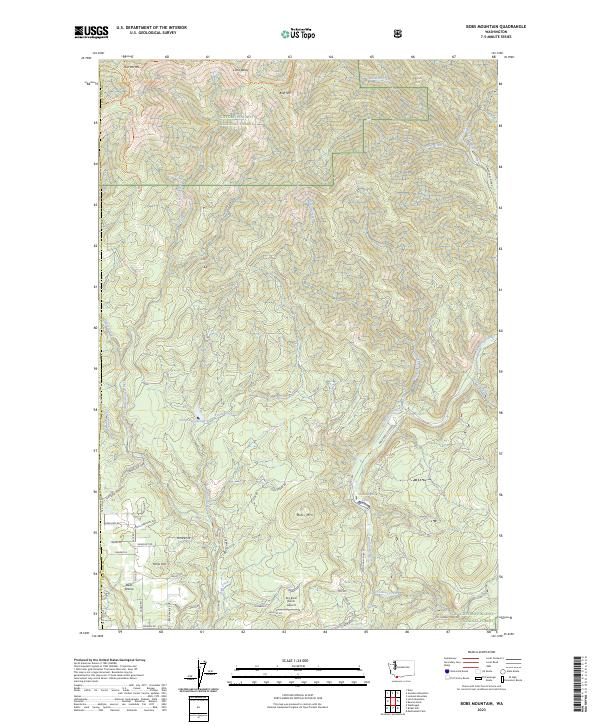
2000 Map of Bobs Mountain
USGS Topo · Published 2003About this map
Silver Star Indian Pits sit atop the high ridges of the Cascades near the Clark and Skamania county line, marking a site of significant cultural heritage. This late-twentieth-century landscape is defined by the managed forests of the Gifford Pinchot National Forest and the Yacolt Burn State Forest, where industrial and recreational use converge. The Washougal River and its numerous tributaries, including Wildboy Creek and Texas Creek, carve through the steep terrain, punctuated by features like Dougan Falls. Human activity is recorded in the Skamania Mine and Last Chance Mine, while the Washougal State Salmon Hatchery reflects long-term conservation efforts. Small clearings such as Bear Prairie and the Landing Strip near Camp Metacoma provide rare level ground amidst the peaks of Bobs Mountain and Bluff Mountain.
Find a feature on this map
34 named features on this map. Tap any name to fly to it.
Don’t see what you’re looking for? This feature index may not catch every label — zoom into the map to look around manually.
Map Details
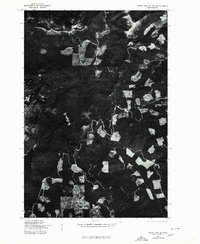
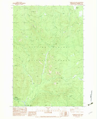
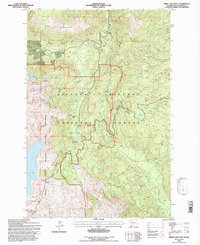
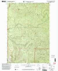
Editions of this 2000 Bobs Mountain Map
This is the sole edition of this map. No revisions or reprints were ever made.
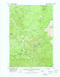
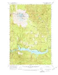
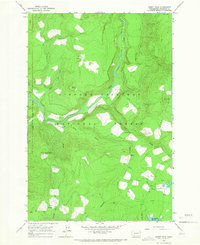
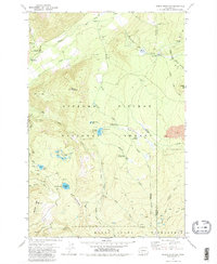
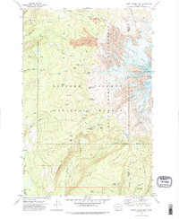
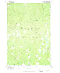
Historical Maps of Clark County Through Time
218 maps found
1926 Steamboat Mtn
Skamania County, WA

1931 Steamboat Mtn
Skamania County, WA

1940 Lookout Mtn
Skamania County, WA
1953 Lookout Mtn
Skamania County, WA
1954 Bridal Veil
Skamania County, WA
1957 Spirit Lake
Skamania County, WA
1957 Willard
Skamania County, WA
1957 Wind River
Skamania County, WA
1958 Mt St. Helens
Skamania County, WA
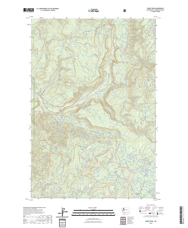
1965 Burnt Peak
Skamania County, WA
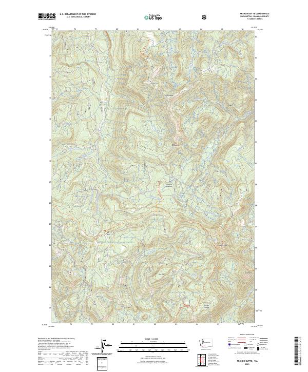
1965 French Butte
Skamania County, WA
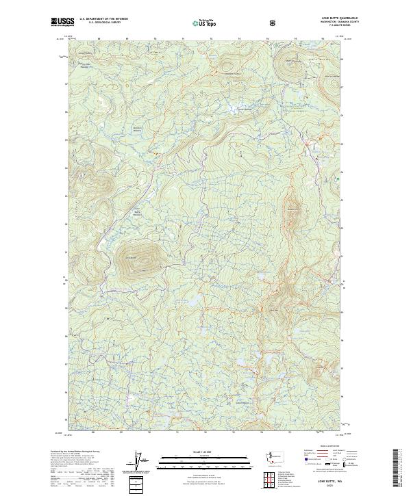
1965 Lone Butte
Skamania County, WA
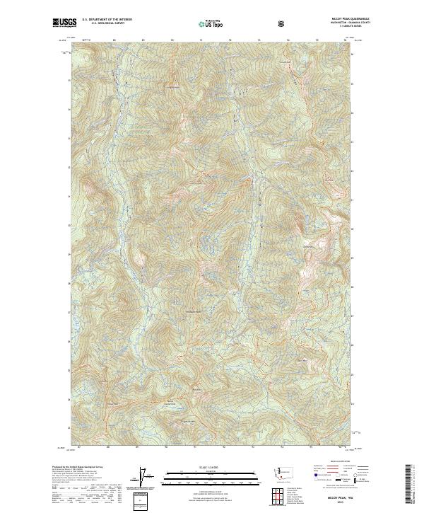
1965 Mc Coy Peak
Skamania County, WA
1965 Quartz Creek Butte
Skamania County, WA
1965 Spencer Butte
Skamania County, WA

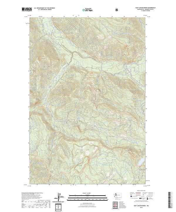
1970 East Canyon Ridge
Skamania County, WA
1970 Green Mountain
Skamania County, WA
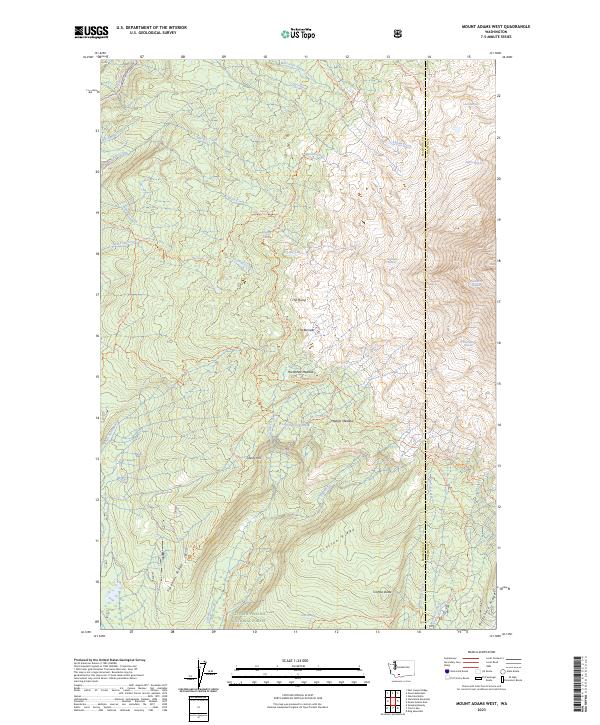
1970 Mount Adams West
Skamania County, WA

1970 Sleeping Beauty
Skamania County, WA
1970 Steamboat Mtn.
Skamania County, WA
1975 Mt. St. Helens NE
Skamania County, WA

1975 Mt. St. Helens SE
Skamania County, WA
1975 Spirit Lake SE
Skamania County, WA

1975 Spirit Lake SW
Skamania County, WA

1979 Bonneville Dam
Skamania County, WA
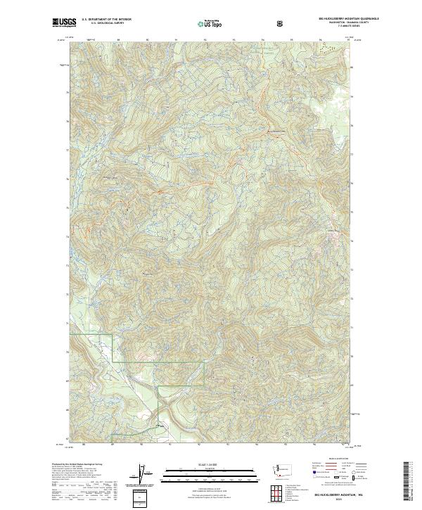
1983 Big Huckleberry Mtn
Skamania County, WA
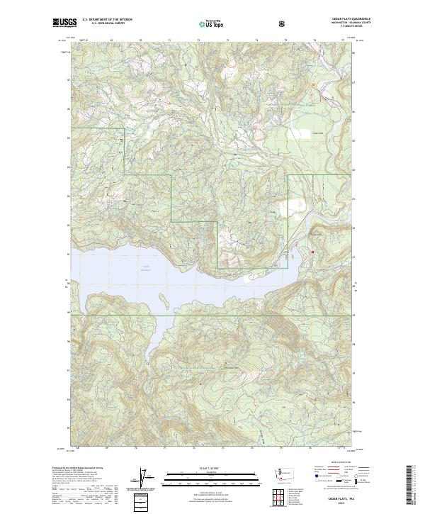
1983 Cedar Flats
Skamania County, WA
1983 Gifford Peak
Skamania County, WA
1983 Little Huckleberry Mtn
Skamania County, WA
1983 Mount St. Helens
Skamania County, WA
1983 Smith Creek Butte
Skamania County, WA
1983 Stabler
Skamania County, WA
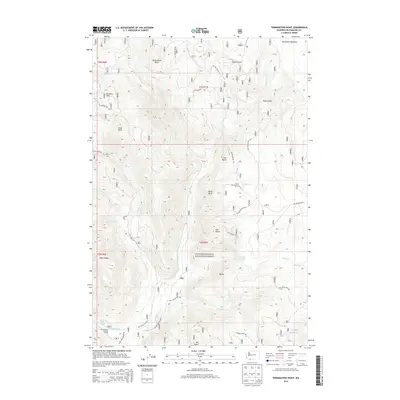
1983 Termination Point
Skamania County, WA

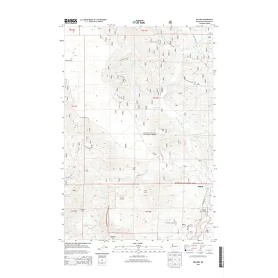
1983 Willard
Skamania County, WA

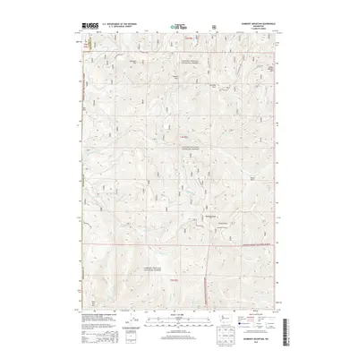
1984 Mt Mitchell
Skamania County, WA
1984 Spirit Lake East
Skamania County, WA

1984 Spirit Lake West
Skamania County, WA
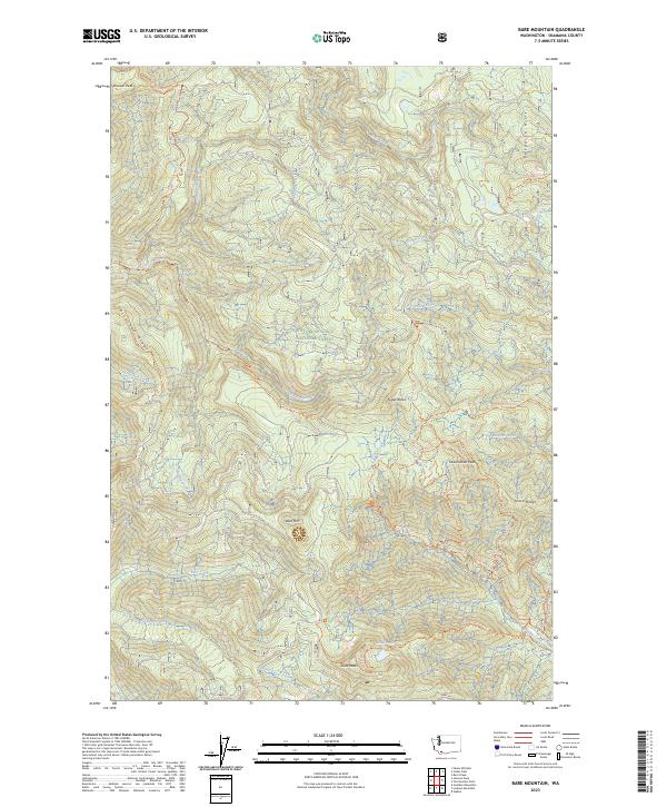
1986 Bare Mountain
Skamania County, WA
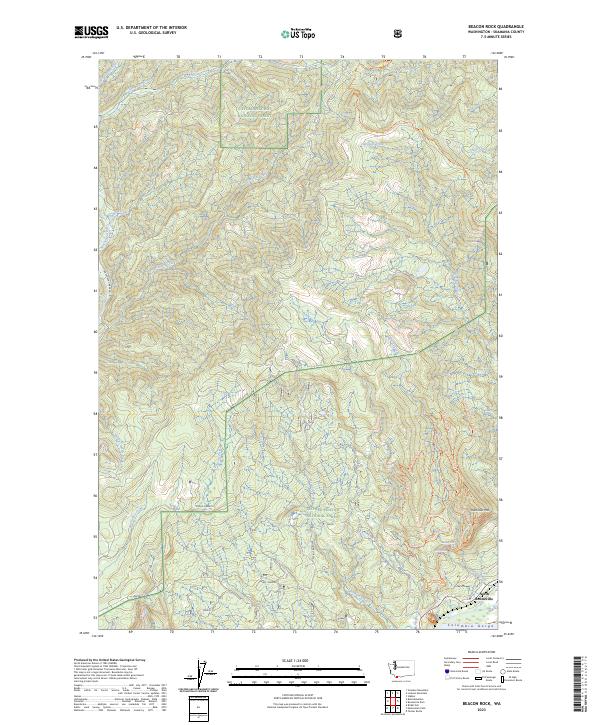
1986 Beacon Rock
Skamania County, WA
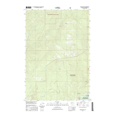
1986 Bobs Mountain
Skamania County, WA
1986 Gumboot Mtn
Skamania County, WA
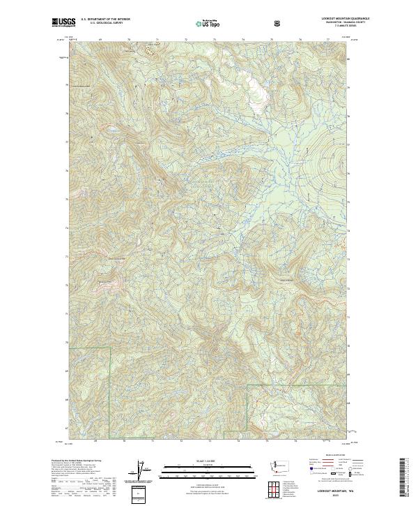
1986 Lookout Mtn
Skamania County, WA
1986 Siouxon Peak
Skamania County, WA

1994 Beacon Rock
Skamania County, WA
1994 Big Huckleberry Mtn
Skamania County, WA

1994 Bonneville Dam
Skamania County, WA
1994 East Canyon Ridge
Skamania County, WA
1994 French Butte
Skamania County, WA

1994 Green Mountain
Skamania County, WA
1994 Mc Coy Peak
Skamania County, WA
1994 Spirit Lake East
Skamania County, WA

1994 Willard
Skamania County, WA
1998 Bare Mountain
Skamania County, WA
1998 Burnt Peak
Skamania County, WA

1998 Cedar Flats
Skamania County, WA
1998 Gifford Peak
Skamania County, WA
1998 Gumboot Mountain
Skamania County, WA
1998 Little Huckleberry Mountain
Skamania County, WA
1998 Lone Butte
Skamania County, WA

1998 Lookout Mountain
Skamania County, WA
1998 Mount Adams West
Skamania County, WA

1998 Mount St. Helens
Skamania County, WA

1998 Mt Mitchell
Skamania County, WA
1998 Quartz Creek Butte
Skamania County, WA
1998 Siouxon Peak
Skamania County, WA
1998 Sleeping Beauty
Skamania County, WA
1998 Smith Creek Butte
Skamania County, WA
1998 Spencer Butte
Skamania County, WA
1998 Spirit Lake West
Skamania County, WA
1998 Stabler
Skamania County, WA

1998 Steamboat Mountain
Skamania County, WA
1998 Termination Point
Skamania County, WA
2000 Bobs Mountain
Skamania County, WA
2011 Bare Mountain
Skamania County, WA
2011 Beacon Rock
Skamania County, WA
2011 Big Huckleberry Mountain
Skamania County, WA
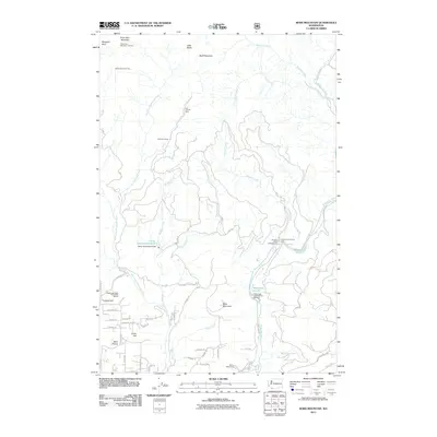
2011 Bobs Mountain
Skamania County, WA
2011 Burnt Peak
Skamania County, WA
2011 Cedar Flats
Skamania County, WA
2011 East Canyon Ridge
Skamania County, WA
2011 French Butte
Skamania County, WA
2011 Gifford Peak
Skamania County, WA
2011 Green Mountain
Skamania County, WA
2011 Gumboot Mountain
Skamania County, WA
2011 Little Huckleberry Mountain
Skamania County, WA
2011 Lone Butte
Skamania County, WA
2011 Lookout Mountain
Skamania County, WA
2011 McCoy Peak
Skamania County, WA
2011 Mount Adams West
Skamania County, WA
2011 Mount Mitchell
Skamania County, WA
2011 Mount Saint Helens
Skamania County, WA
2011 Quartz Creek Butte
Skamania County, WA
2011 Siouxon Peak
Skamania County, WA
2011 Sleeping Beauty
Skamania County, WA
2011 Smith Creek Butte
Skamania County, WA
2011 Spencer Butte
Skamania County, WA
2011 Spirit Lake East
Skamania County, WA
2011 Spirit Lake West
Skamania County, WA

2011 Stabler
Skamania County, WA
2011 Steamboat Mountain
Skamania County, WA
2011 Termination Point
Skamania County, WA
2011 Willard
Skamania County, WA
2013 Bare Mountain
Skamania County, WA
2013 Beacon Rock
Skamania County, WA
2013 Bobs Mountain
Skamania County, WA
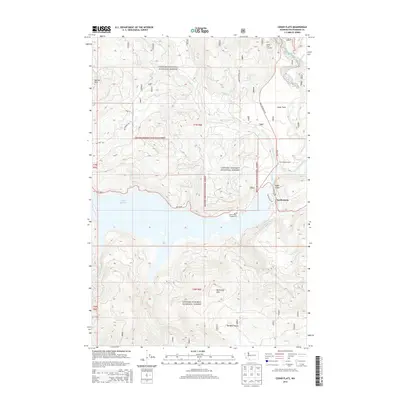
2013 Cedar Flats
Skamania County, WA
2013 Gumboot Mountain
Skamania County, WA
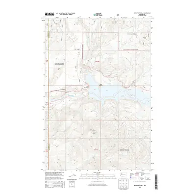
2013 Mount Mitchell
Skamania County, WA
2013 Mount Saint Helens
Skamania County, WA
2013 Smith Creek Butte
Skamania County, WA
2013 Spirit Lake East
Skamania County, WA
2013 Spirit Lake West
Skamania County, WA
2014 Big Huckleberry Mountain
Skamania County, WA
2014 Burnt Peak
Skamania County, WA
2014 East Canyon Ridge
Skamania County, WA
2014 French Butte
Skamania County, WA
2014 Gifford Peak
Skamania County, WA
2014 Green Mountain
Skamania County, WA
2014 Little Huckleberry Mountain
Skamania County, WA
2014 Lone Butte
Skamania County, WA
2014 Lookout Mountain
Skamania County, WA
2014 McCoy Peak
Skamania County, WA
2014 Mount Adams West
Skamania County, WA
2014 Quartz Creek Butte
Skamania County, WA
2014 Siouxon Peak
Skamania County, WA
2014 Sleeping Beauty
Skamania County, WA
2014 Spencer Butte
Skamania County, WA
2014 Stabler
Skamania County, WA
2014 Steamboat Mountain
Skamania County, WA
2014 Termination Point
Skamania County, WA
2014 Willard
Skamania County, WA
2017 Bare Mountain
Skamania County, WA
2017 Beacon Rock
Skamania County, WA
2017 Big Huckleberry Mountain
Skamania County, WA
2017 Bobs Mountain
Skamania County, WA
2017 Burnt Peak
Skamania County, WA
2017 Cedar Flats
Skamania County, WA
2017 East Canyon Ridge
Skamania County, WA
2017 French Butte
Skamania County, WA
2017 Gifford Peak
Skamania County, WA
2017 Green Mountain
Skamania County, WA
2017 Gumboot Mountain
Skamania County, WA
2017 Little Huckleberry Mountain
Skamania County, WA
2017 Lone Butte
Skamania County, WA
2017 Lookout Mountain
Skamania County, WA
2017 McCoy Peak
Skamania County, WA
2017 Mount Adams West
Skamania County, WA
2017 Mount Mitchell
Skamania County, WA
2017 Mount Saint Helens
Skamania County, WA
2017 Quartz Creek Butte
Skamania County, WA
2017 Siouxon Peak
Skamania County, WA
2017 Sleeping Beauty
Skamania County, WA
2017 Smith Creek Butte
Skamania County, WA
2017 Spencer Butte
Skamania County, WA
2017 Spirit Lake East
Skamania County, WA
2017 Spirit Lake West
Skamania County, WA
2017 Stabler
Skamania County, WA
2017 Steamboat Mountain
Skamania County, WA
2017 Termination Point
Skamania County, WA
2017 Willard
Skamania County, WA
2020 Bare Mountain
Skamania County, WA
2020 Beacon Rock
Skamania County, WA
2020 Big Huckleberry Mountain
Skamania County, WA
2020 Bobs Mountain
Skamania County, WA
2020 Burnt Peak
Skamania County, WA
2020 Cedar Flats
Skamania County, WA
2020 East Canyon Ridge
Skamania County, WA
2020 French Butte
Skamania County, WA
2020 Gifford Peak
Skamania County, WA
2020 Green Mountain
Skamania County, WA
2020 Gumboot Mountain
Skamania County, WA
2020 Little Huckleberry Mountain
Skamania County, WA
2020 Lone Butte
Skamania County, WA
2020 Lookout Mountain
Skamania County, WA
2020 McCoy Peak
Skamania County, WA
2020 Mount Adams West
Skamania County, WA
2020 Mount Mitchell
Skamania County, WA
2020 Mount Saint Helens
Skamania County, WA
2020 Quartz Creek Butte
Skamania County, WA
2020 Siouxon Peak
Skamania County, WA
2020 Sleeping Beauty
Skamania County, WA
2020 Smith Creek Butte
Skamania County, WA
2020 Spencer Butte
Skamania County, WA
2020 Spirit Lake East
Skamania County, WA
2020 Spirit Lake West
Skamania County, WA
2020 Stabler
Skamania County, WA
2020 Steamboat Mountain
Skamania County, WA
2020 Termination Point
Skamania County, WA
2020 Willard
Skamania County, WA
2023 Bare Mountain
Skamania County, WA
2023 Beacon Rock
Skamania County, WA
2023 Big Huckleberry Mountain
Skamania County, WA
2023 Bobs Mountain
Skamania County, WA
2023 Burnt Peak
Skamania County, WA
2023 Cedar Flats
Skamania County, WA
2023 East Canyon Ridge
Skamania County, WA
2023 French Butte
Skamania County, WA
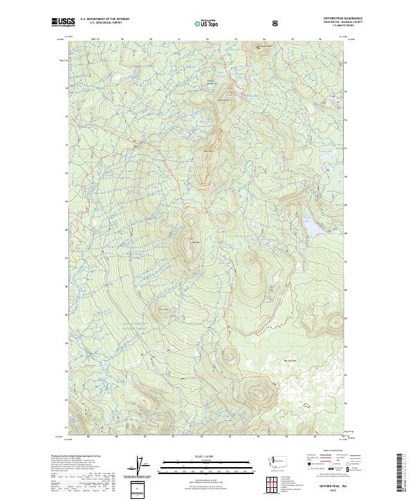
2023 Gifford Peak
Skamania County, WA
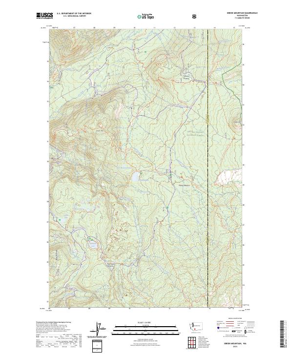
2023 Green Mountain
Skamania County, WA
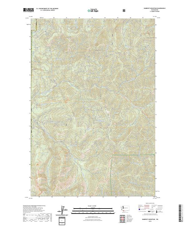
2023 Gumboot Mountain
Skamania County, WA
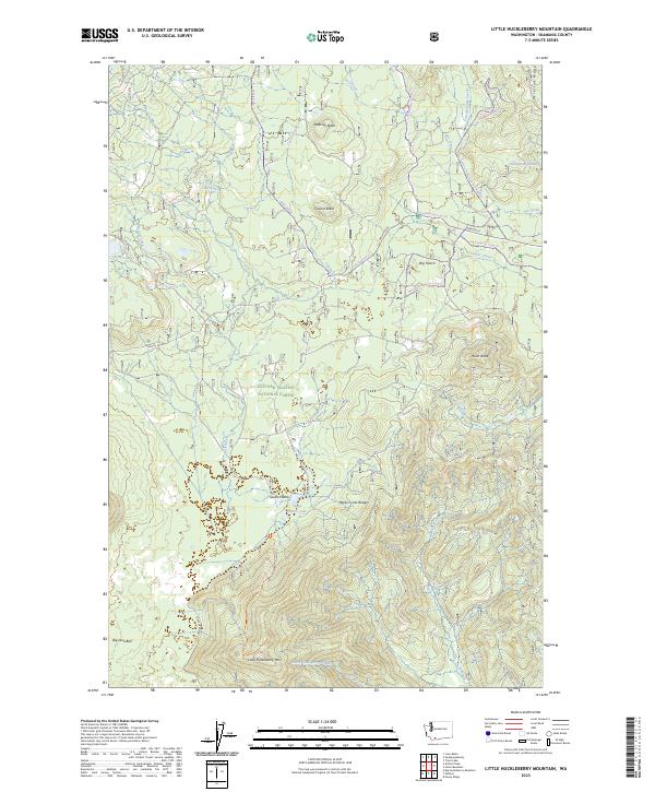
2023 Little Huckleberry Mountain
Skamania County, WA
2023 Lone Butte
Skamania County, WA
2023 Lookout Mountain
Skamania County, WA
2023 McCoy Peak
Skamania County, WA
2023 Mount Adams West
Skamania County, WA
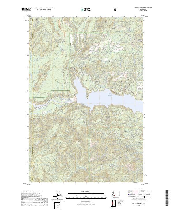
2023 Mount Mitchell
Skamania County, WA
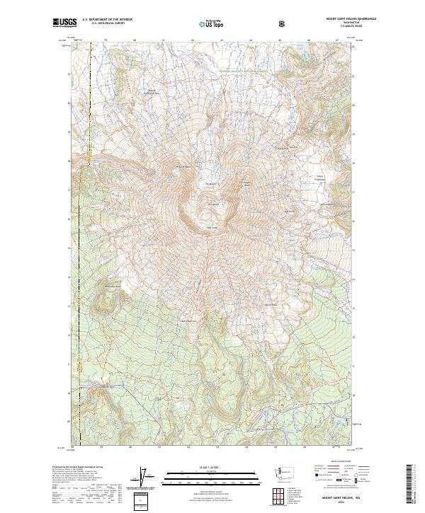
2023 Mount Saint Helens
Skamania County, WA
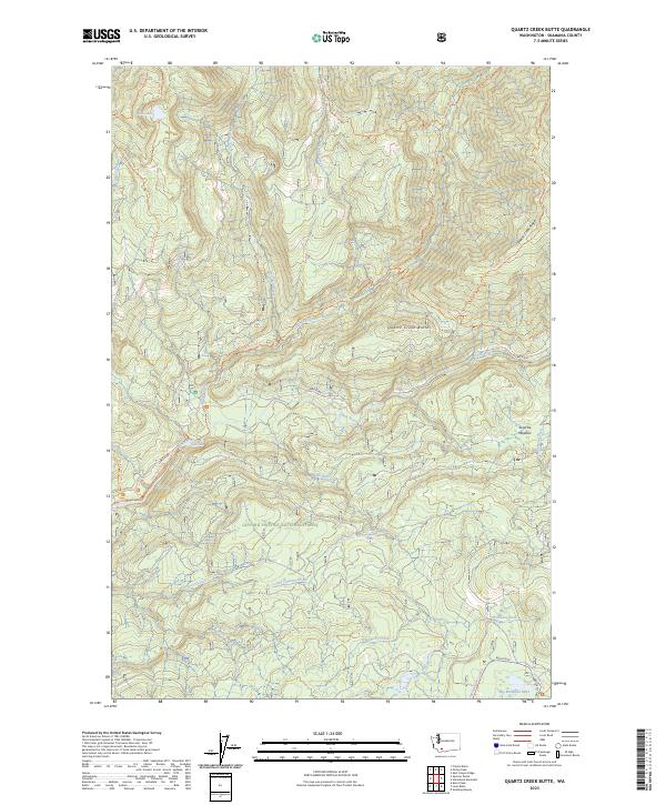
2023 Quartz Creek Butte
Skamania County, WA
2023 Siouxon Peak
Skamania County, WA
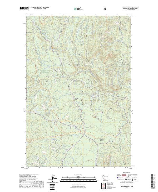
2023 Sleeping Beauty
Skamania County, WA
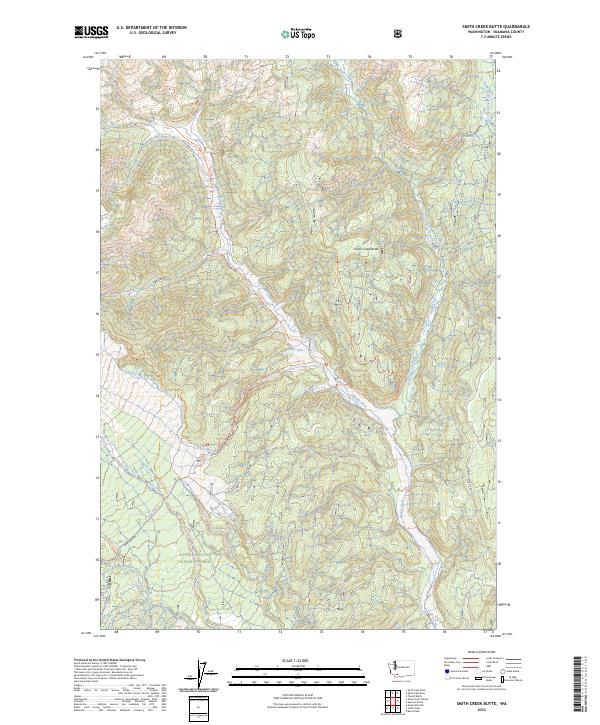
2023 Smith Creek Butte
Skamania County, WA
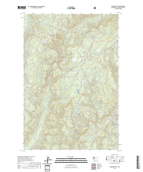
2023 Spencer Butte
Skamania County, WA
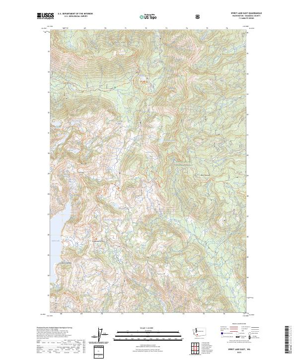
2023 Spirit Lake East
Skamania County, WA
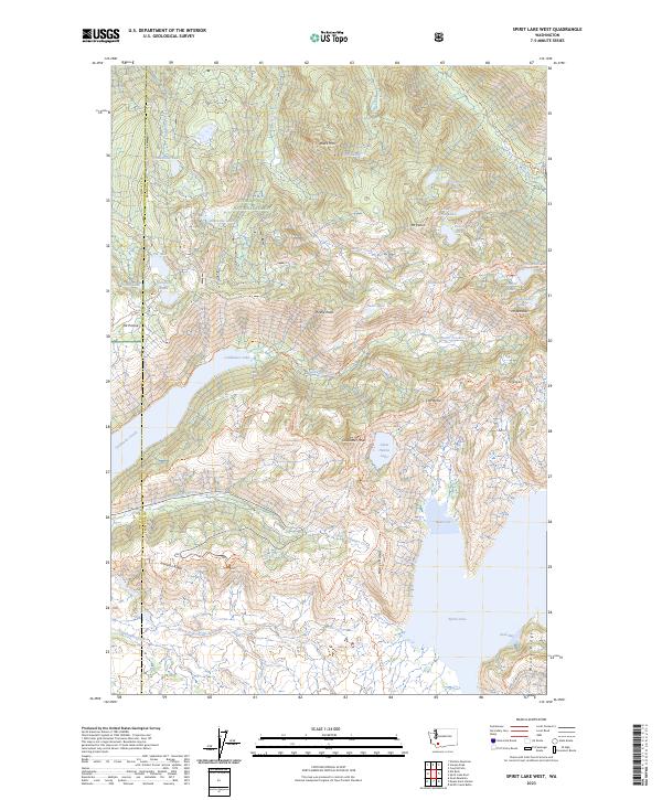
2023 Spirit Lake West
Skamania County, WA
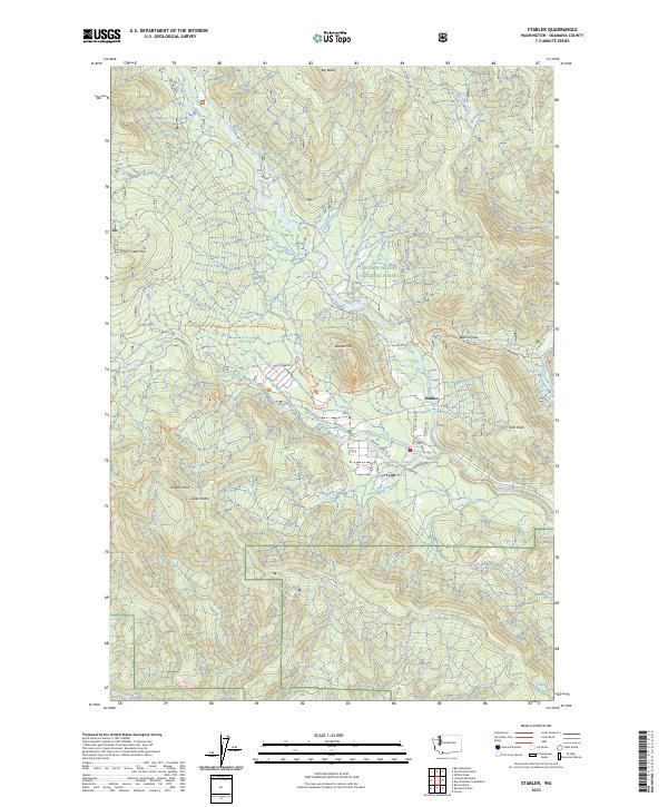
2023 Stabler
Skamania County, WA
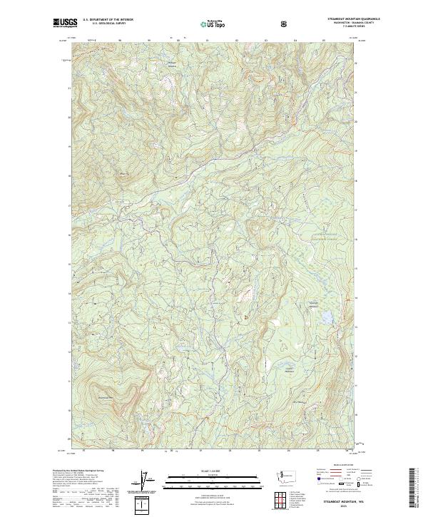
2023 Steamboat Mountain
Skamania County, WA
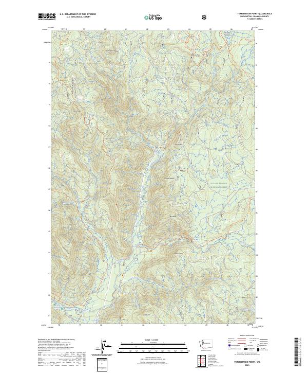
2023 Termination Point
Skamania County, WA
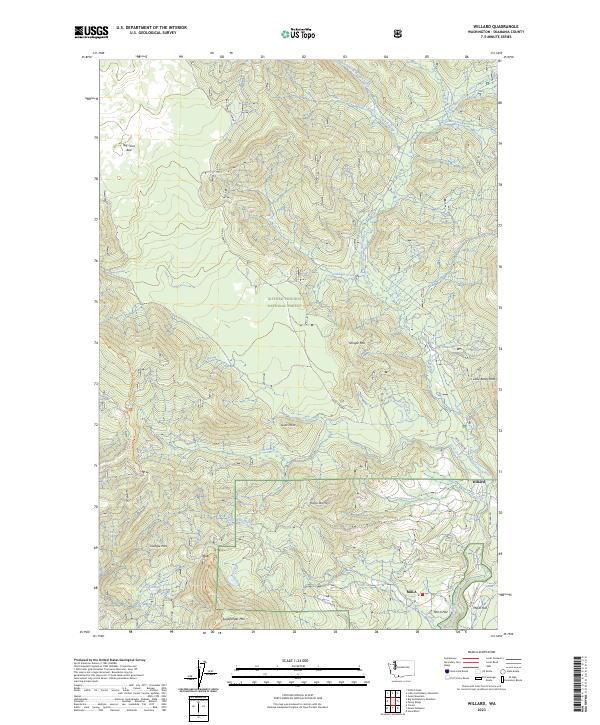
2023 Willard
Skamania County, WA