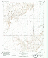
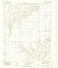
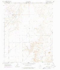
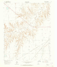
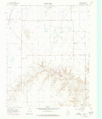
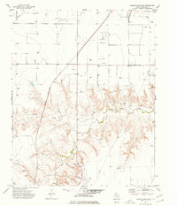
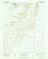
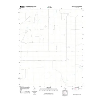
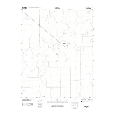
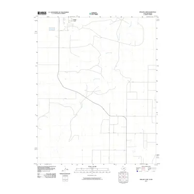
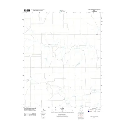
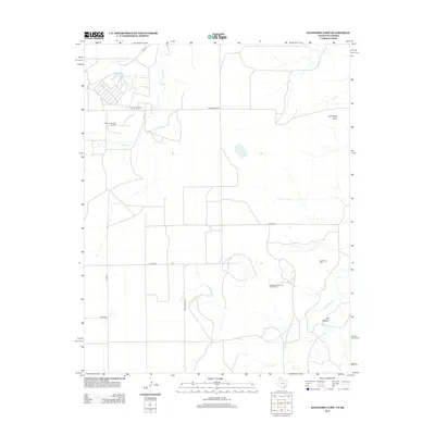
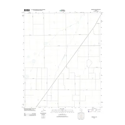
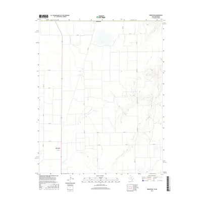
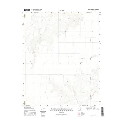
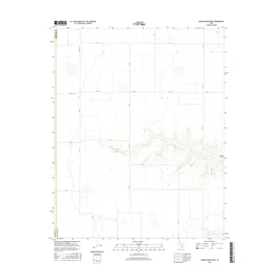
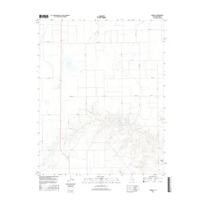
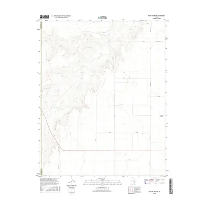
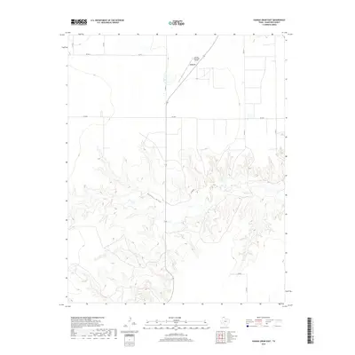
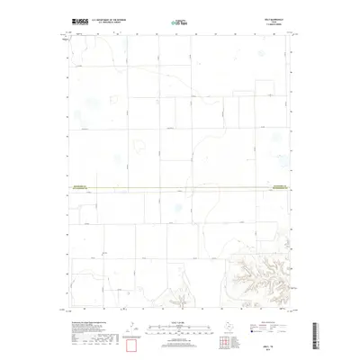
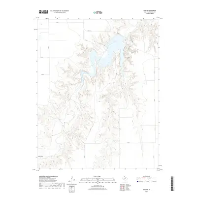
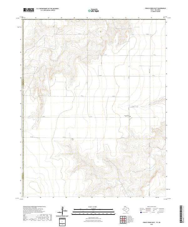
1974 Map of Frisco Creek East
USGS Topo · Published 1995About this map
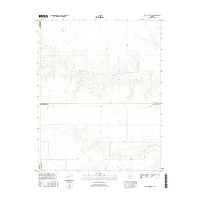
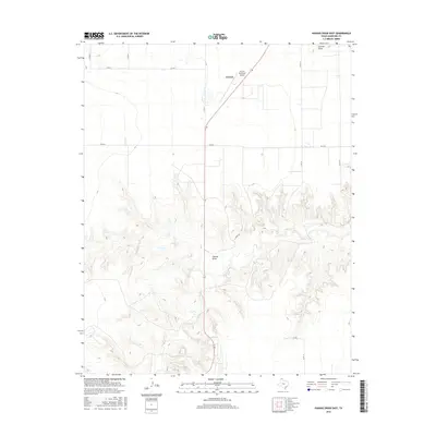
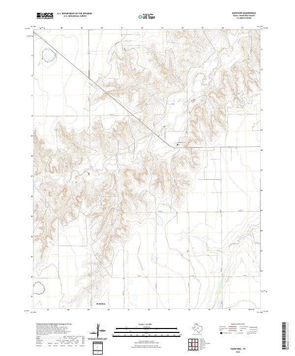
Frisco Creek and Coldwater Creek carve deep, branching draws into the High Plains of the Texas Panhandle, defining a landscape where the natural hydrology and modern industry meet. This mid-1970s survey reveals the extensive energy infrastructure of the Anadarko Basin, marked by dozens of Gas Wells and complex pipeline networks that crisscross the terrain near the border of the Oklahoma-Texas line.
Find a feature on this map
11 named features on this map. Tap any name to fly to it.
Don’t see what you’re looking for? This feature index may not catch every label — zoom into the map to look around manually.
Map Details
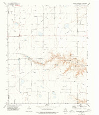
Editions of this 1974 Frisco Creek East Map
2 editions found
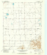
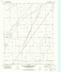
Historical Maps of Texas County Through Time
78 maps found
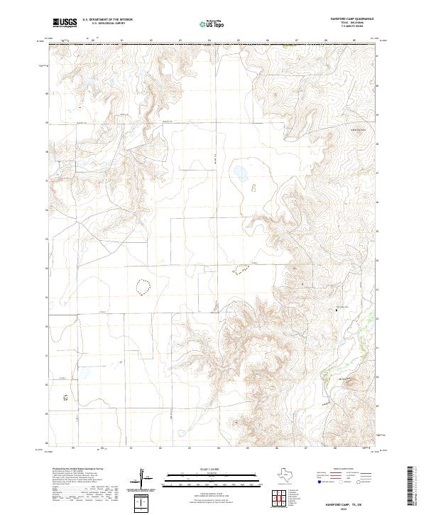
1962 Hansford Camp
Hansford County, TX
1962 Hansford
Hansford County, TX
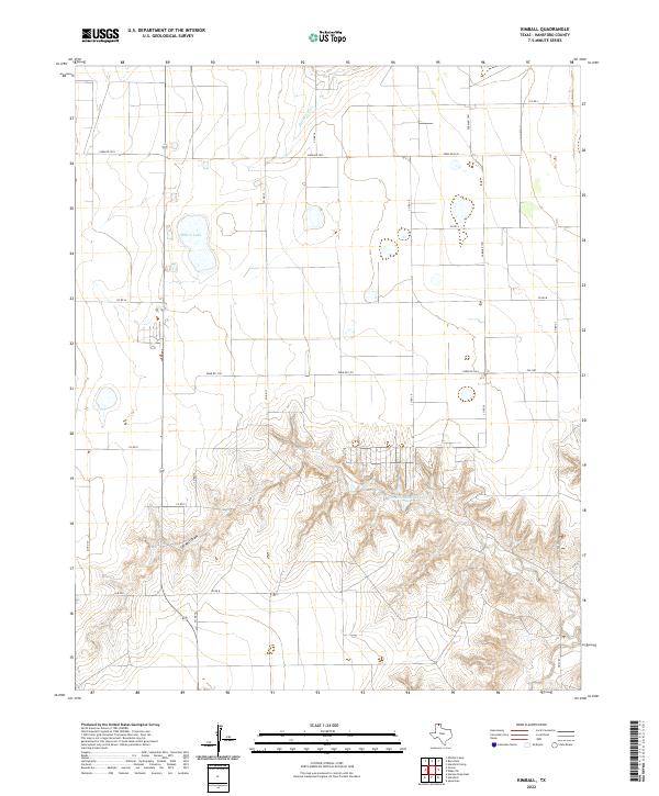
1962 Kimball
Hansford County, TX
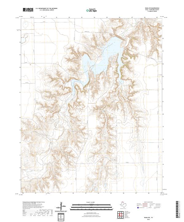
1962 Waka SW
Hansford County, TX
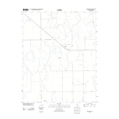
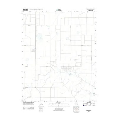
1974 Bernstein
Hansford County, TX
1974 Capps Switch SE
Hansford County, TX
1974 Frisco Creek East
Hansford County, TX
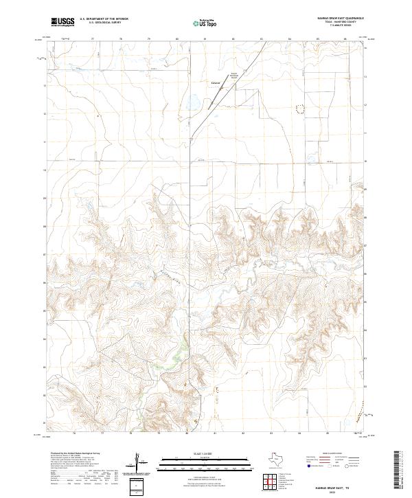
1974 Hannas Draw East
Hansford County, TX
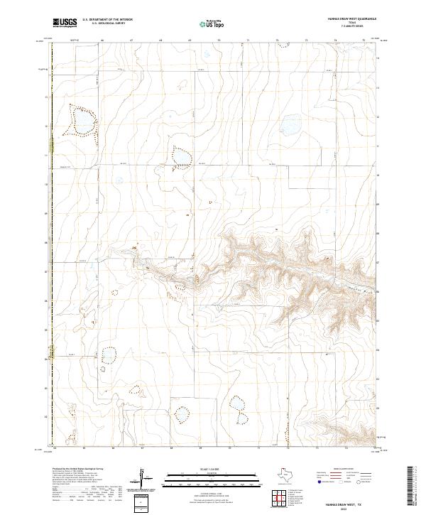
1974 Hannas Draw West
Hansford County, TX
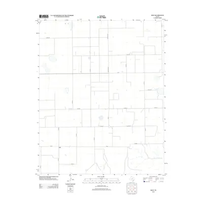
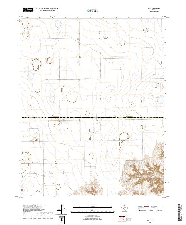
1974 Holt
Hansford County, TX
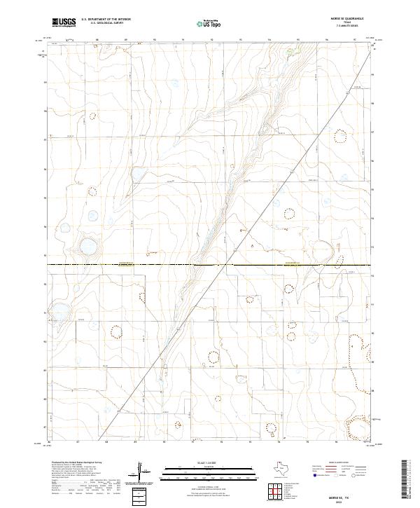
1974 Morse SE
Hansford County, TX
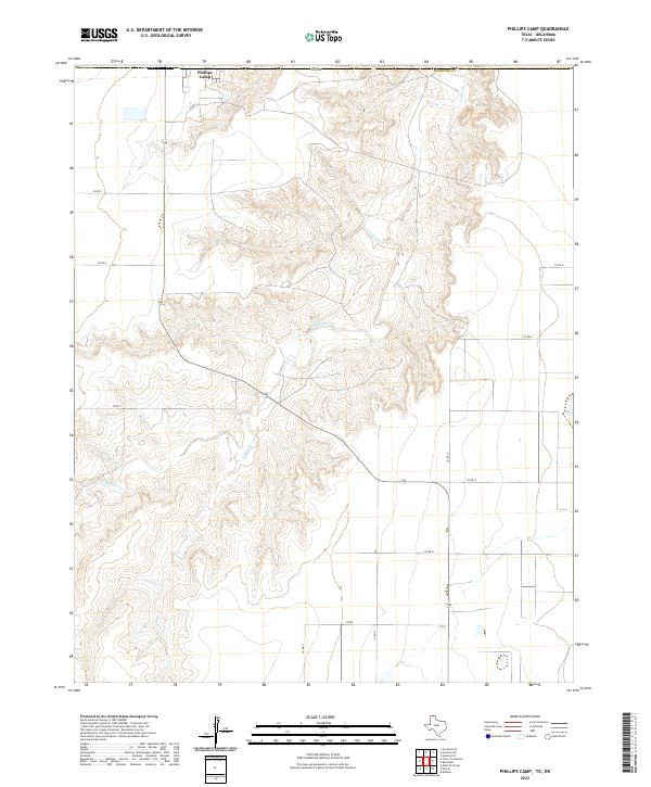
1974 Phillips Camp
Hansford County, TX
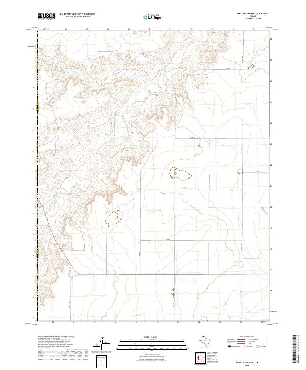
1974 West of Gruver
Hansford County, TX
2010 Bernstein
Hansford County, TX
2010 Capps Switch SE
Hansford County, TX
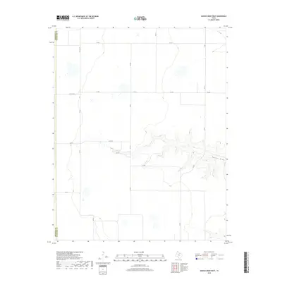
2010 Frisco Creek East
Hansford County, TX
2010 Hannas Draw East
Hansford County, TX
2010 Hannas Draw West
Hansford County, TX
2010 Hansford Camp
Hansford County, TX
2010 Hansford
Hansford County, TX
2010 Holt
Hansford County, TX
2010 Kimball
Hansford County, TX
2010 Morse SE
Hansford County, TX
2010 Phillips Camp
Hansford County, TX
2010 Waka SW
Hansford County, TX
2010 West of Gruver
Hansford County, TX
2012 Bernstein
Hansford County, TX
2012 Capps Switch SE
Hansford County, TX
2012 Frisco Creek East
Hansford County, TX
2012 Hannas Draw East
Hansford County, TX
2012 Hannas Draw West
Hansford County, TX
2012 Hansford Camp
Hansford County, TX
2012 Hansford
Hansford County, TX
2012 Holt
Hansford County, TX
2012 Kimball
Hansford County, TX
2012 Morse SE
Hansford County, TX
2012 Phillips Camp
Hansford County, TX
2012 Waka SW
Hansford County, TX
2012 West of Gruver
Hansford County, TX
2016 Bernstein
Hansford County, TX
2016 Capps Switch SE
Hansford County, TX
2016 Frisco Creek East
Hansford County, TX
2016 Hannas Draw East
Hansford County, TX
2016 Hannas Draw West
Hansford County, TX
2016 Hansford Camp
Hansford County, TX
2016 Hansford
Hansford County, TX
2016 Holt
Hansford County, TX
2016 Kimball
Hansford County, TX
2016 Morse SE
Hansford County, TX
2016 Phillips Camp
Hansford County, TX
2016 Waka SW
Hansford County, TX
2016 West of Gruver
Hansford County, TX
2019 Bernstein
Hansford County, TX
2019 Capps Switch SE
Hansford County, TX
2019 Frisco Creek East
Hansford County, TX
2019 Hannas Draw East
Hansford County, TX
2019 Hannas Draw West
Hansford County, TX
2019 Hansford Camp
Hansford County, TX
2019 Hansford
Hansford County, TX
2019 Holt
Hansford County, TX
2019 Kimball
Hansford County, TX
2019 Morse SE
Hansford County, TX
2019 Phillips Camp
Hansford County, TX
2019 Waka SW
Hansford County, TX
2019 West of Gruver
Hansford County, TX
2022 Bernstein
Hansford County, TX
2022 Capps Switch SE
Hansford County, TX
2022 Frisco Creek East
Hansford County, TX
2022 Hannas Draw East
Hansford County, TX
2022 Hannas Draw West
Hansford County, TX
2022 Hansford Camp
Hansford County, TX
2022 Hansford
Hansford County, TX
2022 Holt
Hansford County, TX
2022 Kimball
Hansford County, TX
2022 Morse SE
Hansford County, TX
2022 Phillips Camp
Hansford County, TX
2022 Waka SW
Hansford County, TX
2022 West of Gruver
Hansford County, TX