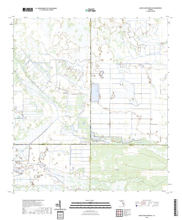
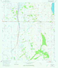
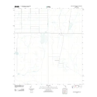
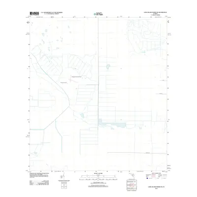
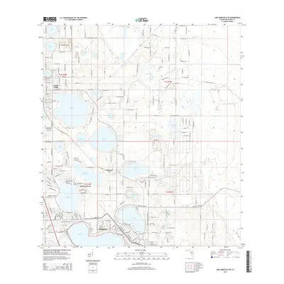
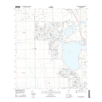
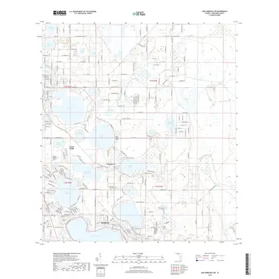
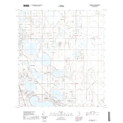
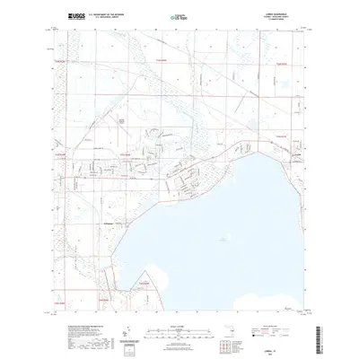
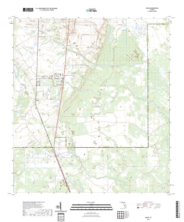
2024 Map of Long Island Marsh SE
USGS Topo · Published 2024About this map
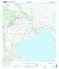
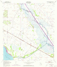
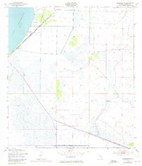
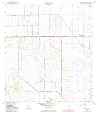
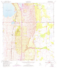
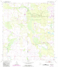
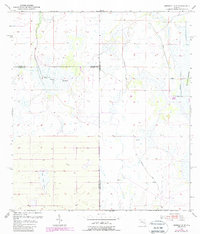
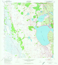
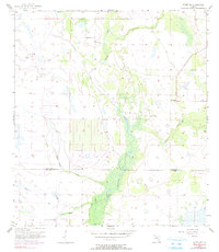
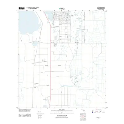
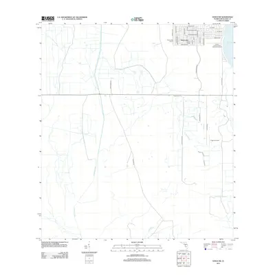
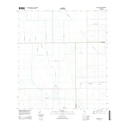
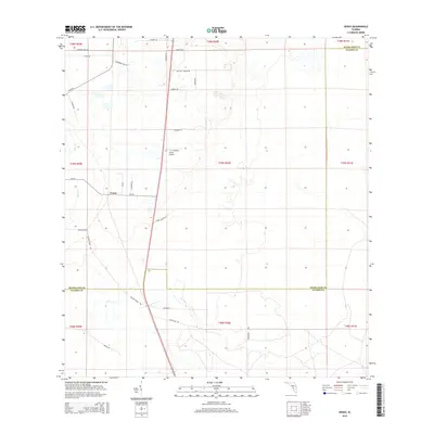
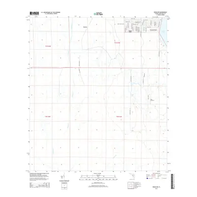
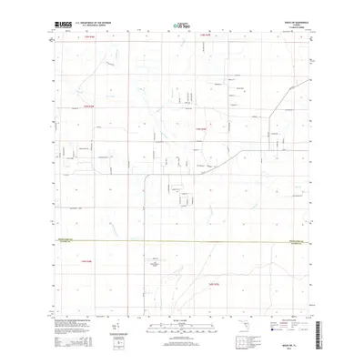
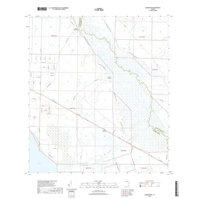
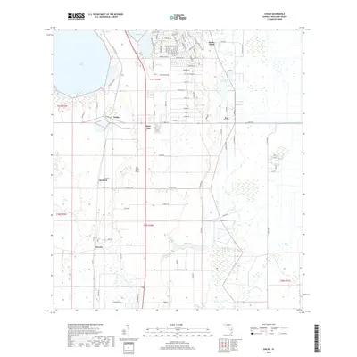
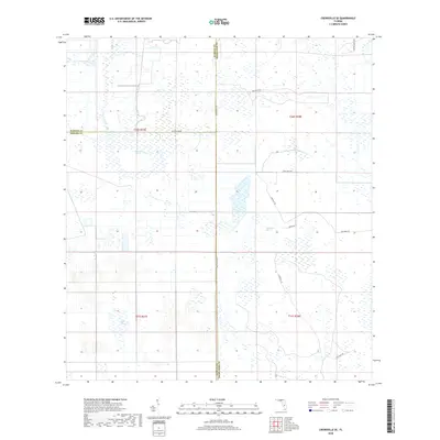
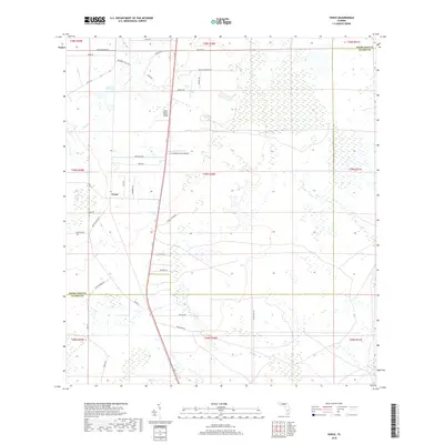
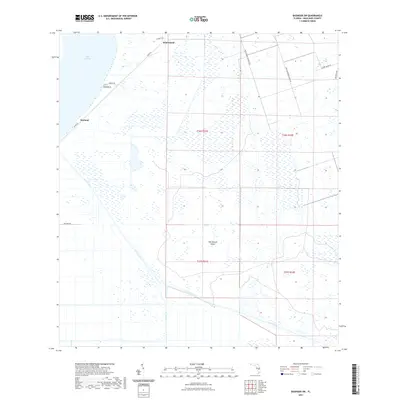
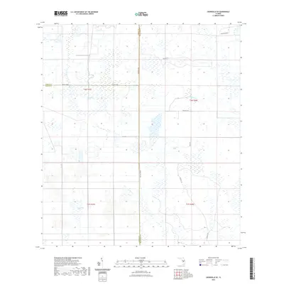
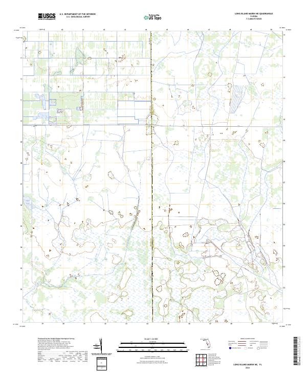
Long Island Marsh and a complex network of wetlands dominate this South Central Florida landscape, where the borders of Highlands, DeSoto, Charlotte, and Glades counties converge. The terrain is defined by seasonal water flow through features like Rainey Slough, Joe Slough, and Gannet-Slough, alongside the meandering Gator Branch and Tippen Bay. Human imprint on the land is marked by isolated ranch infrastructure and private airfields, most notably the Montgomery Ranch Airport located in the western portion of the quadrangle.
Find a feature on this map
26 named features on this map. Tap any name to fly to it.
Don’t see what you’re looking for? This feature index may not catch every label — zoom into the map to look around manually.
Map Details
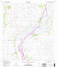
Editions of this 2024 Long Island Marsh SE Map
This is the sole edition of this map. No revisions or reprints were ever made.
Historical Maps of Charlotte County Through Time
102 maps found
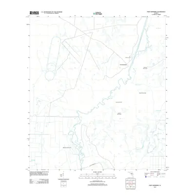
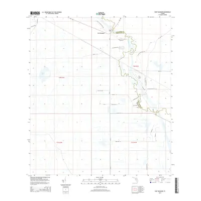
1952 Fort Kissimmee
Highlands County, FL
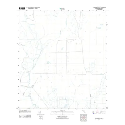
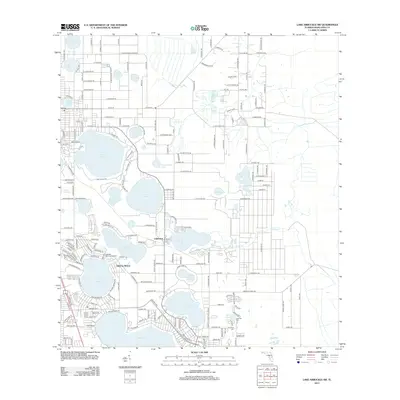
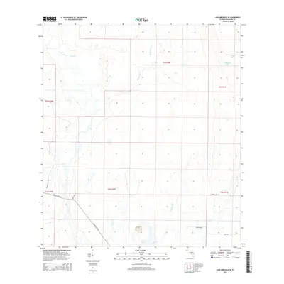
1952 Lake Arbuckle SE
Highlands County, FL
1952 Lake Arbuckle SW
Highlands County, FL
1952 Lorida
Highlands County, FL
1953 Basinger NW
Highlands County, FL
1953 Basinger SW
Highlands County, FL
1953 Brighton NW
Highlands County, FL
1953 Childs
Highlands County, FL
1953 Crewsville
Highlands County, FL
1953 Crewsville SE
Highlands County, FL

1953 Fort Basinger
Highlands County, FL
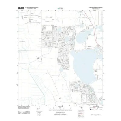
1953 Lake June In Winter
Highlands County, FL
1953 Venus NW
Highlands County, FL
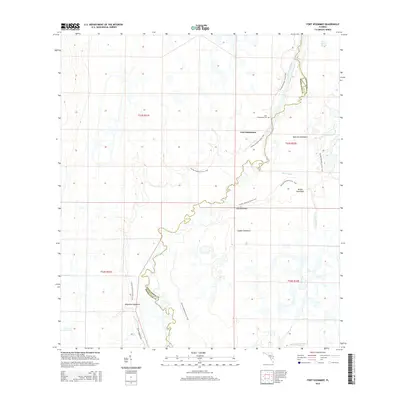
1957 Long Island Marsh NE
Highlands County, FL
1957 Long Island Marsh SE
Highlands County, FL
1957 Venus
Highlands County, FL
1957 Venus SW
Highlands County, FL
2012 Basinger NW
Highlands County, FL
2012 Basinger SW
Highlands County, FL
2012 Brighton NW
Highlands County, FL
2012 Childs
Highlands County, FL
2012 Crewsville
Highlands County, FL
2012 Crewsville SE
Highlands County, FL
2012 Fort Basinger
Highlands County, FL
2012 Fort Kissimmee
Highlands County, FL
2012 Lake Arbuckle SE
Highlands County, FL
2012 Lake Arbuckle SW
Highlands County, FL
2012 Lake June In Winter
Highlands County, FL
2012 Long Island Marsh NE
Highlands County, FL
2012 Long Island Marsh SE
Highlands County, FL
2012 Lorida
Highlands County, FL
2012 Venus
Highlands County, FL
2012 Venus NW
Highlands County, FL
2012 Venus SW
Highlands County, FL
2015 Basinger NW
Highlands County, FL
2015 Basinger SW
Highlands County, FL
2015 Brighton NW
Highlands County, FL
2015 Childs
Highlands County, FL
2015 Crewsville
Highlands County, FL
2015 Crewsville SE
Highlands County, FL
2015 Fort Basinger
Highlands County, FL
2015 Fort Kissimmee
Highlands County, FL
2015 Lake Arbuckle SE
Highlands County, FL
2015 Lake Arbuckle SW
Highlands County, FL
2015 Lake June In Winter
Highlands County, FL
2015 Long Island Marsh NE
Highlands County, FL
2015 Long Island Marsh SE
Highlands County, FL
2015 Lorida
Highlands County, FL
2015 Venus
Highlands County, FL
2015 Venus NW
Highlands County, FL
2015 Venus SW
Highlands County, FL
2018 Basinger NW
Highlands County, FL
2018 Basinger SW
Highlands County, FL
2018 Brighton NW
Highlands County, FL
2018 Childs
Highlands County, FL
2018 Crewsville
Highlands County, FL
2018 Crewsville SE
Highlands County, FL
2018 Fort Basinger
Highlands County, FL
2018 Fort Kissimmee
Highlands County, FL
2018 Lake Arbuckle SE
Highlands County, FL
2018 Lake Arbuckle SW
Highlands County, FL
2018 Lake June In Winter
Highlands County, FL
2018 Long Island Marsh NE
Highlands County, FL
2018 Long Island Marsh SE
Highlands County, FL

2018 Lorida
Highlands County, FL
2018 Venus
Highlands County, FL
2018 Venus NW
Highlands County, FL
2018 Venus SW
Highlands County, FL
2021 Basinger NW
Highlands County, FL
2021 Basinger SW
Highlands County, FL
2021 Brighton NW
Highlands County, FL
2021 Childs
Highlands County, FL
2021 Crewsville
Highlands County, FL
2021 Crewsville SE
Highlands County, FL
2021 Fort Basinger
Highlands County, FL
2021 Fort Kissimmee
Highlands County, FL
2021 Lake Arbuckle SE
Highlands County, FL
2021 Lake Arbuckle SW
Highlands County, FL
2021 Lake June In Winter
Highlands County, FL
2021 Long Island Marsh NE
Highlands County, FL
2021 Long Island Marsh SE
Highlands County, FL
2021 Lorida
Highlands County, FL
2021 Venus
Highlands County, FL
2021 Venus NW
Highlands County, FL
2021 Venus SW
Highlands County, FL
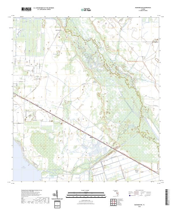
2024 Basinger NW
Highlands County, FL
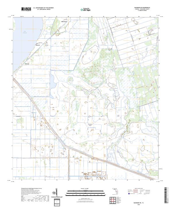
2024 Basinger SW
Highlands County, FL
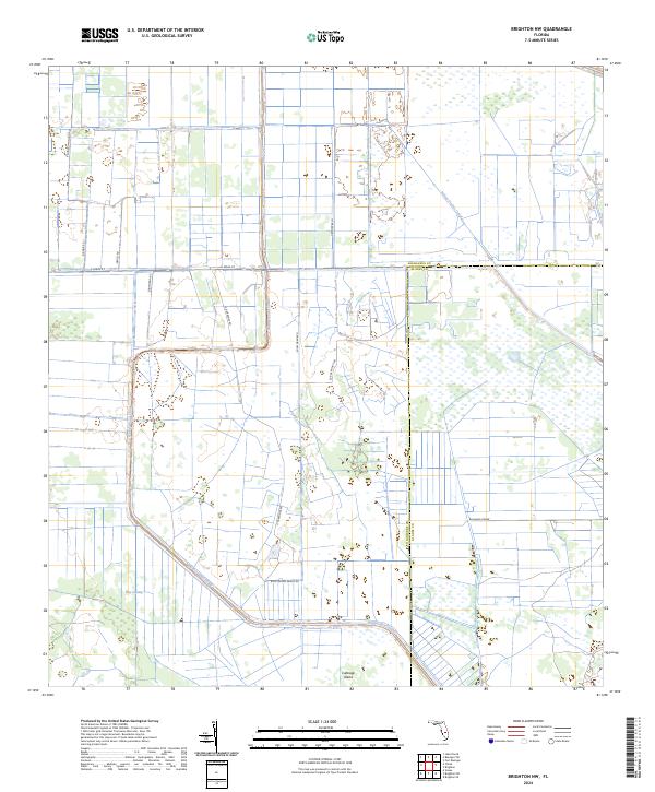
2024 Brighton NW
Highlands County, FL
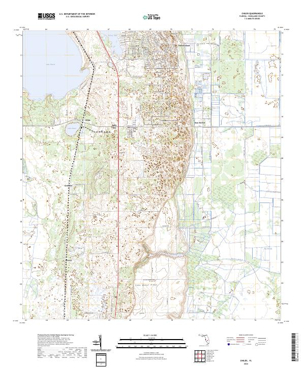
2024 Childs
Highlands County, FL
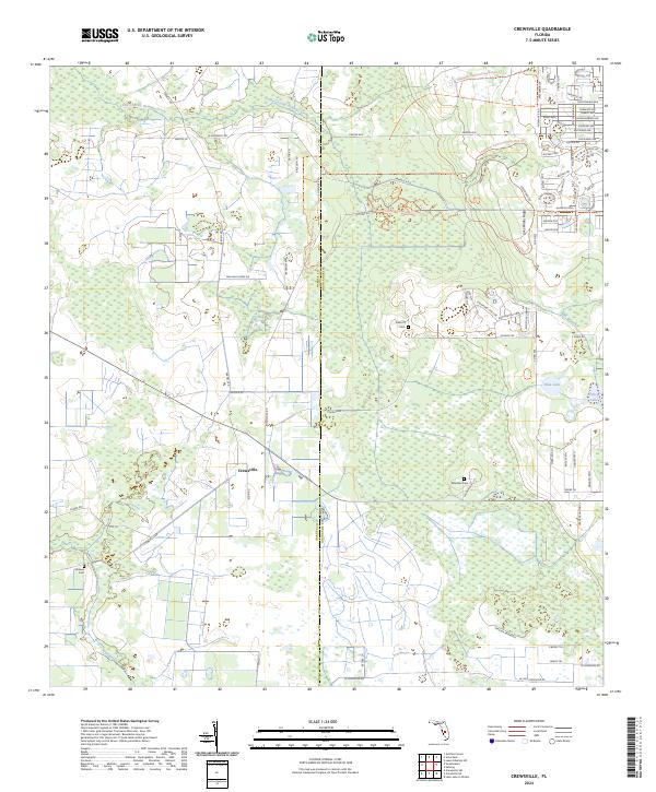
2024 Crewsville
Highlands County, FL
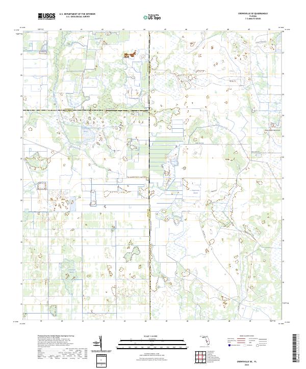
2024 Crewsville SE
Highlands County, FL
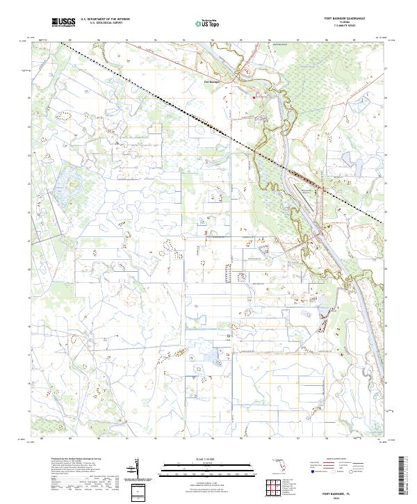
2024 Fort Basinger
Highlands County, FL
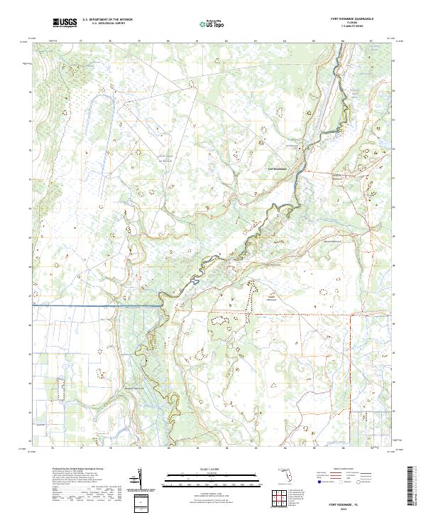
2024 Fort Kissimmee
Highlands County, FL
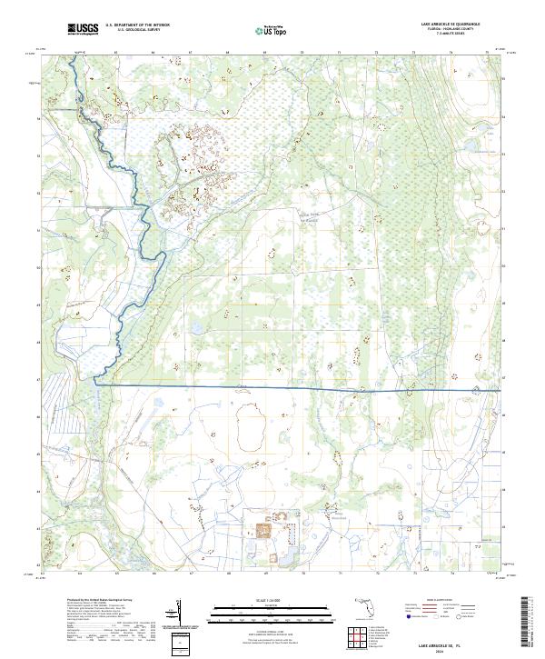
2024 Lake Arbuckle SE
Highlands County, FL

2024 Lake Arbuckle SW
Highlands County, FL
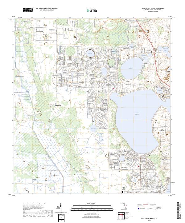
2024 Lake June In Winter
Highlands County, FL
2024 Long Island Marsh NE
Highlands County, FL
2024 Long Island Marsh SE
Highlands County, FL
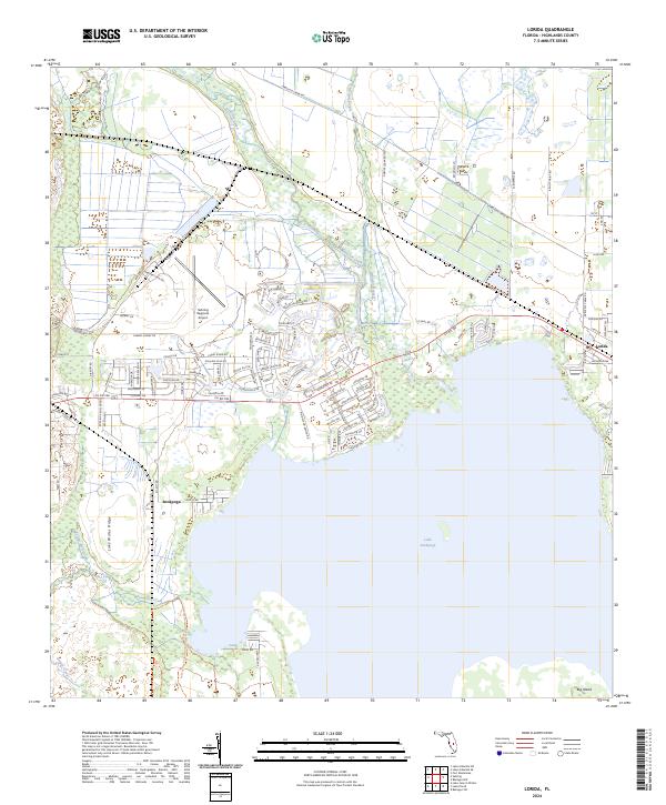
2024 Lorida
Highlands County, FL
2024 Venus
Highlands County, FL
2024 Venus NW
Highlands County, FL
2024 Venus SW
Highlands County, FL