
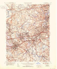
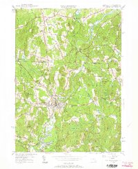
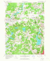
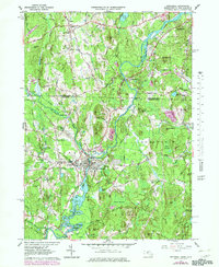
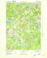
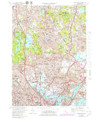
2024 Map of Maynard
USGS Topo · Published 2024About this map
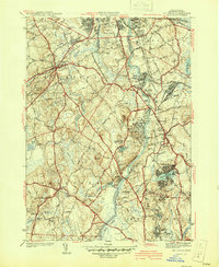
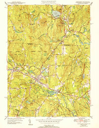
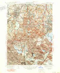
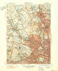
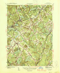
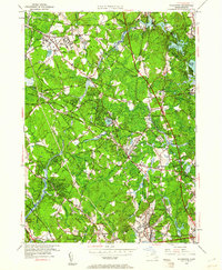
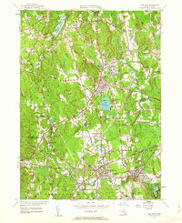
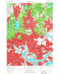
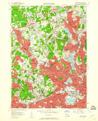
The Assabet River winds through this Middlesex County landscape, connecting a series of historic mill towns and villages including Maynard, Acton, and Sudbury. In the northeast corner, a portion of the Minute Man National Historical Park preserves the area’s colonial heritage, including the James Chandler Gravesite. The map reveals a dense network of local-history landmarks, from the Revolutionary War Cem in Sudbury to the Concord Reformatory Cem near West Concord. Transportation history is evident in the conversion of old rail corridors to modern paths like the Assabet River Rail-Trl and the Mass Central Wayside Rail Trl, which follow the routes that once fueled the regional industrial economy. Water features like Lake Boon and White Pond contrast with preserved marshes such as Cold Brook Meadow and the Sedge Meadows.
Find a feature on this map
106 named features on this map. Tap any name to fly to it.
Don’t see what you’re looking for? This feature index may not catch every label — zoom into the map to look around manually.
Map Details
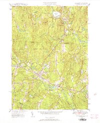
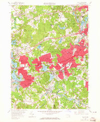
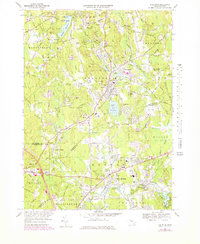
Editions of this 2024 Maynard Map
This is the sole edition of this map. No revisions or reprints were ever made.
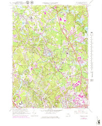
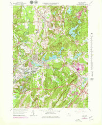
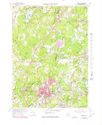
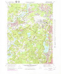
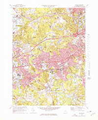
Historical Maps of Pine Rest Through Time
90 maps found
1893 Groton
Middlesex County, MA

1931 Groton
Middlesex County, MA

1935 Ayer
Middlesex County, MA

1935 Groton
Middlesex County, MA
1936 Groton
Middlesex County, MA
1939 Ayer
Middlesex County, MA

1940 Tyngsoboro
Middlesex County, MA

1940 Westford
Middlesex County, MA
1941 Billerica
Middlesex County, MA

1941 Holliston
Middlesex County, MA
1941 Tyngsboro
Middlesex County, MA

1941 Westford
Middlesex County, MA

1942 Billerica
Middlesex County, MA

1942 Holliston
Middlesex County, MA

1942 Tyngsboro
Middlesex County, MA

1943 Boston North
Middlesex County, MA
1943 Concord
Middlesex County, MA
1943 Hudson
Middlesex County, MA

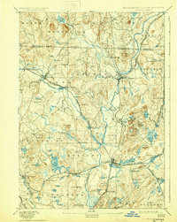
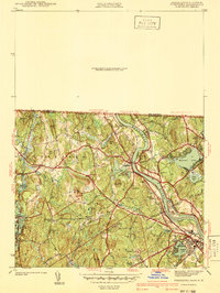
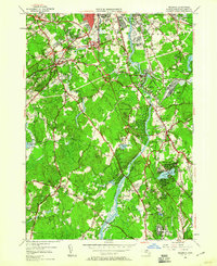
1943 Maynard
Middlesex County, MA
1943 Natick
Middlesex County, MA

1944 Lexington
Middlesex County, MA

1944 Pepperell
Middlesex County, MA
1944 Townsend
Middlesex County, MA

1944 Wilmington
Middlesex County, MA

1946 Ashby
Middlesex County, MA
1946 Boston North
Middlesex County, MA
1946 Lexington
Middlesex County, MA

1946 Tyngsboro
Middlesex County, MA
1946 Westford
Middlesex County, MA

1949 Boston North
Middlesex County, MA

1950 Ashby
Middlesex County, MA

1950 Ayer
Middlesex County, MA
1950 Billerica
Middlesex County, MA
1950 Concord
Middlesex County, MA

1950 Hudson
Middlesex County, MA
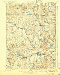
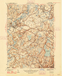
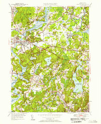
1950 Maynard
Middlesex County, MA
1950 Natick
Middlesex County, MA
1950 Pepperell
Middlesex County, MA
1950 Townsend
Middlesex County, MA
1950 Tyngsboro
Middlesex County, MA
1950 Westford
Middlesex County, MA
1950 Wilmington
Middlesex County, MA
1953 Holliston
Middlesex County, MA
1956 Boston North
Middlesex County, MA
1956 Lexington
Middlesex County, MA
1958 Concord
Middlesex County, MA
1958 Natick
Middlesex County, MA

1965 Ashby
Middlesex County, MA
1965 Billerica
Middlesex County, MA
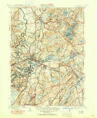
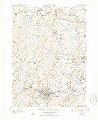
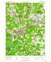
1965 Maynard
Middlesex County, MA
1965 Pepperell
Middlesex County, MA

1965 Townsend
Middlesex County, MA
1965 Wilmington
Middlesex County, MA
1966 Ayer
Middlesex County, MA
1966 Hudson
Middlesex County, MA
1966 Westford
Middlesex County, MA
1969 Holliston
Middlesex County, MA
1970 Concord
Middlesex County, MA
1970 Natick
Middlesex County, MA
1971 Boston North
Middlesex County, MA
1971 Lexington
Middlesex County, MA

1975 Townsend
Middlesex County, MA

1977 Boston North
Middlesex County, MA

1977 Concord
Middlesex County, MA

1977 Holliston
Middlesex County, MA

1977 Hudson
Middlesex County, MA

1977 Lexington
Middlesex County, MA

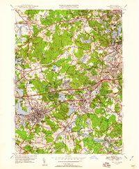
1977 Maynard
Middlesex County, MA

1977 Natick
Middlesex County, MA

1977 Wilmington
Middlesex County, MA
1985 Boston North
Middlesex County, MA

1987 Billerica
Middlesex County, MA
1987 Maynard
Middlesex County, MA

1987 Reading
Middlesex County, MA

1988 Ayer
Middlesex County, MA

1988 Townsend
Middlesex County, MA

2024 Ashby
Middlesex County, MA
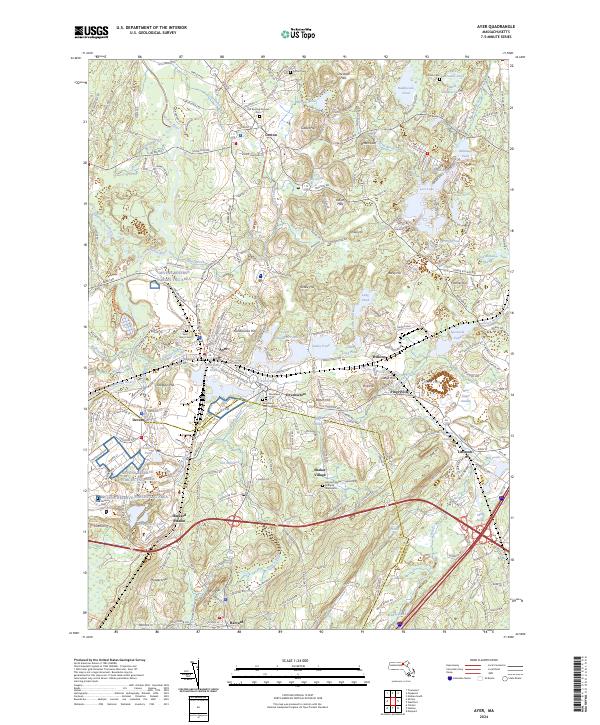
2024 Ayer
Middlesex County, MA

2024 Billerica
Middlesex County, MA

2024 Boston North
Middlesex County, MA

2024 Concord
Middlesex County, MA
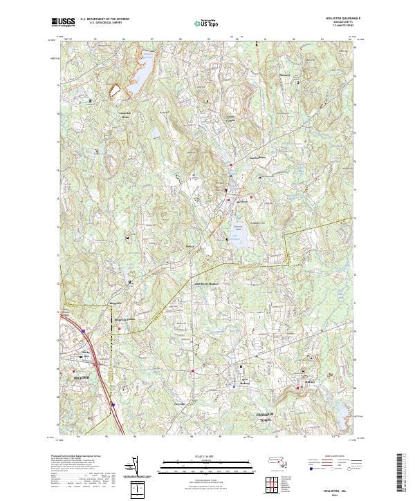
2024 Holliston
Middlesex County, MA

2024 Hudson
Middlesex County, MA

2024 Lexington
Middlesex County, MA
2024 Maynard
Middlesex County, MA
2024 Natick
Middlesex County, MA
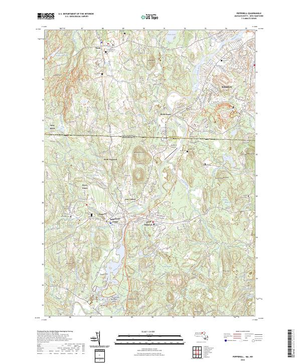
2024 Pepperell
Middlesex County, MA

2024 Townsend
Middlesex County, MA

2024 Westford
Middlesex County, MA

2024 Wilmington
Middlesex County, MA