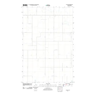
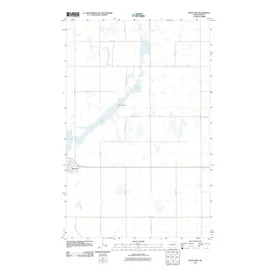
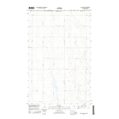
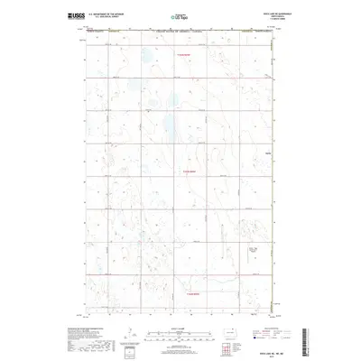
2024 Map of Rock Lake SE
USGS Topo · Published 2024About this map
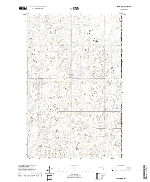
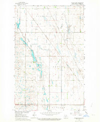
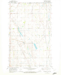
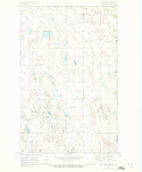
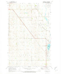
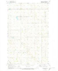
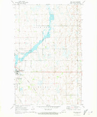
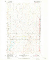
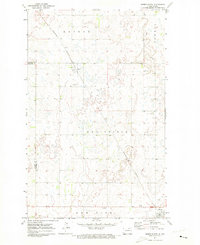
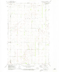
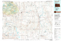
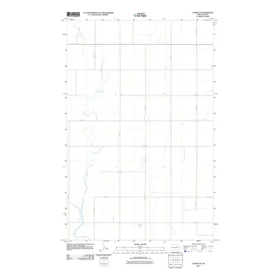
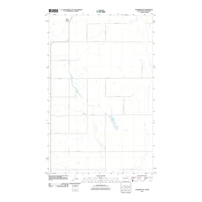
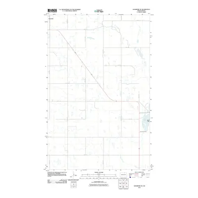
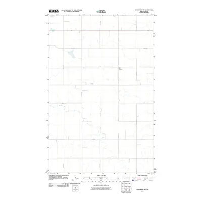
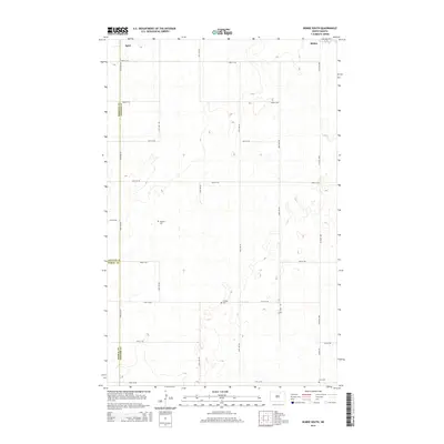
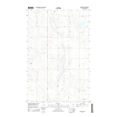
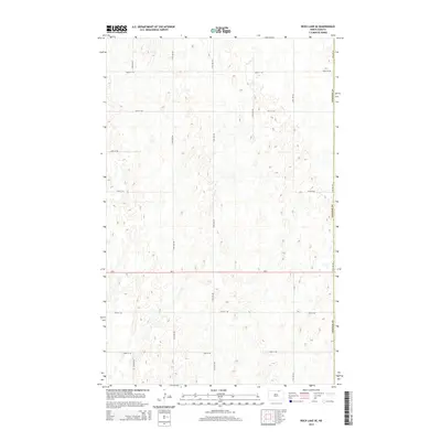
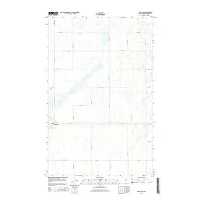
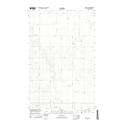
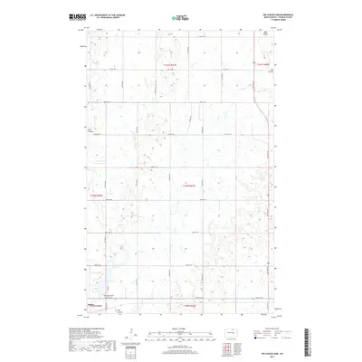
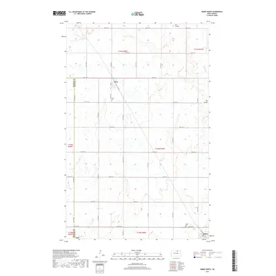
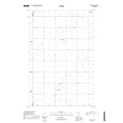
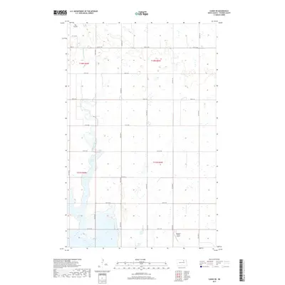
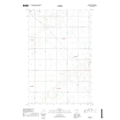
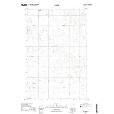
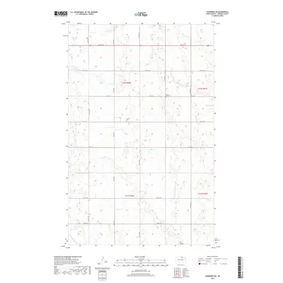
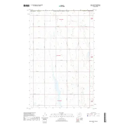
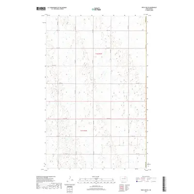
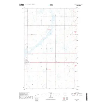
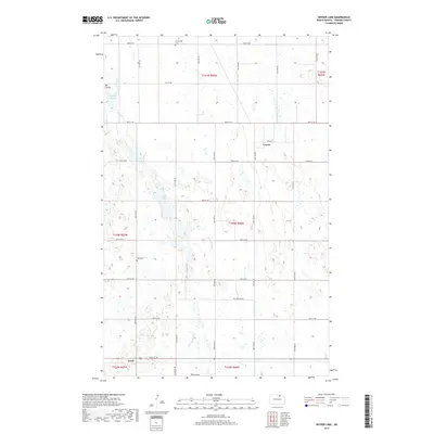
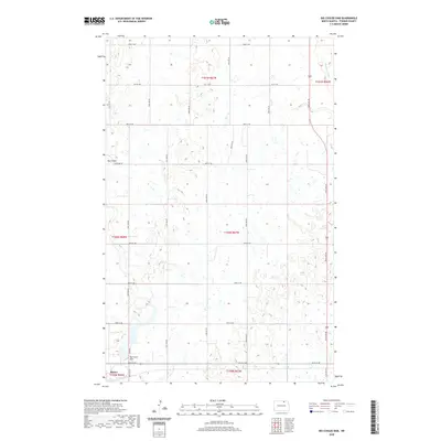
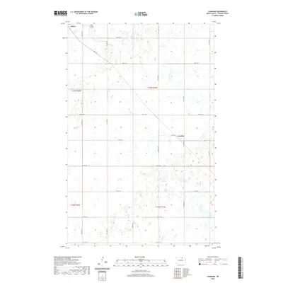
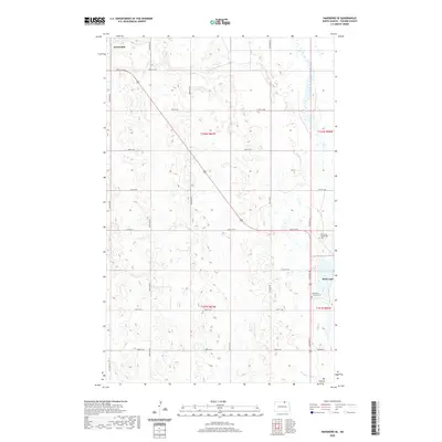
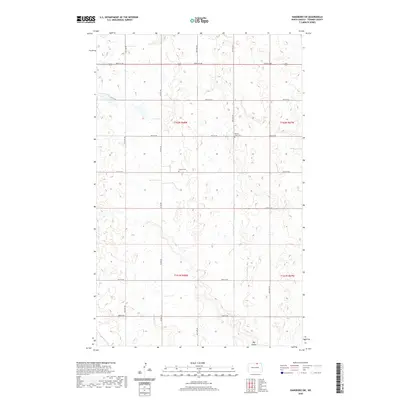
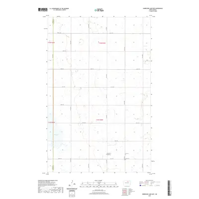
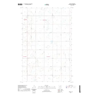
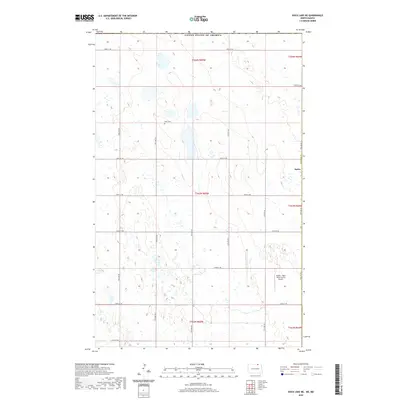
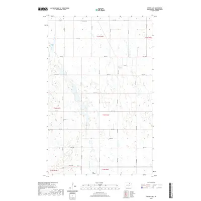
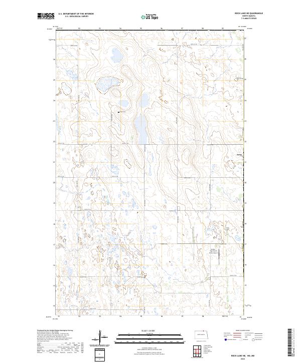
Ellison Cem sits as a lonely landmark within the sprawling section-line grid of rural Towner County in this contemporary digital survey. The landscape is defined by the Public Land Survey System, specifically t161n r65w and surrounding townships, which dictate the placement of a rigid road network. Gravel routes such as 100th St NE and 75th Ave NE bisect a prairie terrain dotted with hundreds of small wetlands and potholes. This pattern reveals the persistent agrarian structure of the North Dakota plains, where the 19th-century township-and-range system continues to organize the modern movement of people and commerce through the Red River Valley hinterlands.
Find a feature on this map
19 named features on this map. Tap any name to fly to it.
Don’t see what you’re looking for? This feature index may not catch every label — zoom into the map to look around manually.
Map Details
Editions of this 2024 Rock Lake SE Map
This is the sole edition of this map. No revisions or reprints were ever made.
Historical Maps of Cavalier County Through Time
103 maps found
1957 Cando NE
Towner County, ND
1962 Egeland SE
Towner County, ND
1962 Egeland SW
Towner County, ND
1962 Snyder Lake
Towner County, ND
1969 Hansboro NE
Towner County, ND
1969 Rock Lake NE
Towner County, ND

1969 Rock Lake NW
Towner County, ND
1970 Hansboro SE
Towner County, ND
1970 Hansboro SW
Towner County, ND

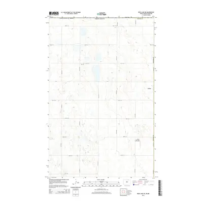
1970 Rock Lake SE
Towner County, ND
1970 Rock Lake
Towner County, ND
1971 Big Coulee Dam
Towner County, ND
1971 Bisbee North
Towner County, ND
1971 Bisbee South
Towner County, ND
1971 Considine
Towner County, ND
1971 Hurricane Lake East
Towner County, ND
1971 Leeds NE
Towner County, ND
1985 Rock Lake
Towner County, ND
2011 Big Coulee Dam
Towner County, ND
2011 Bisbee North
Towner County, ND
2011 Bisbee South
Towner County, ND
2011 Cando NE
Towner County, ND
2011 Considine
Towner County, ND
2011 Egeland SE
Towner County, ND
2011 Egeland SW
Towner County, ND
2011 Hansboro NE
Towner County, ND
2011 Hansboro SE
Towner County, ND
2011 Hansboro SW
Towner County, ND
2011 Hurricane Lake East
Towner County, ND
2011 Leeds NE
Towner County, ND
2011 Rock Lake NE
Towner County, ND
2011 Rock Lake NW
Towner County, ND
2011 Rock Lake SE
Towner County, ND
2011 Rock Lake
Towner County, ND
2011 Snyder Lake
Towner County, ND
2014 Big Coulee Dam
Towner County, ND
2014 Bisbee North
Towner County, ND
2014 Bisbee South
Towner County, ND
2014 Cando NE
Towner County, ND
2014 Considine
Towner County, ND
2014 Egeland SE
Towner County, ND
2014 Egeland SW
Towner County, ND
2014 Hansboro NE
Towner County, ND
2014 Hansboro SE
Towner County, ND
2014 Hansboro SW
Towner County, ND
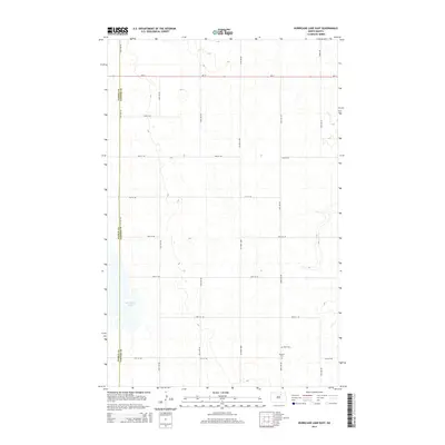
2014 Hurricane Lake East
Towner County, ND
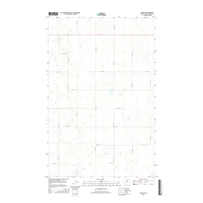
2014 Leeds NE
Towner County, ND
2014 Rock Lake NE
Towner County, ND
2014 Rock Lake NW
Towner County, ND
2014 Rock Lake SE
Towner County, ND
2014 Rock Lake
Towner County, ND
2014 Snyder Lake
Towner County, ND
2017 Big Coulee Dam
Towner County, ND
2017 Bisbee North
Towner County, ND
2017 Bisbee South
Towner County, ND
2017 Cando NE
Towner County, ND
2017 Considine
Towner County, ND
2017 Egeland SE
Towner County, ND
2017 Egeland SW
Towner County, ND
2017 Hansboro NE
Towner County, ND
2017 Hansboro SE
Towner County, ND
2017 Hansboro SW
Towner County, ND
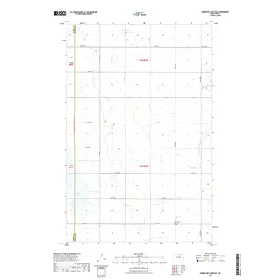
2017 Hurricane Lake East
Towner County, ND
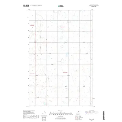
2017 Leeds NE
Towner County, ND
2017 Rock Lake NE
Towner County, ND
2017 Rock Lake NW
Towner County, ND
2017 Rock Lake SE
Towner County, ND
2017 Rock Lake
Towner County, ND
2017 Snyder Lake
Towner County, ND
2020 Big Coulee Dam
Towner County, ND
2020 Bisbee North
Towner County, ND
2020 Bisbee South
Towner County, ND
2020 Cando NE
Towner County, ND
2020 Considine
Towner County, ND
2020 Egeland SE
Towner County, ND
2020 Egeland SW
Towner County, ND
2020 Hansboro NE
Towner County, ND
2020 Hansboro SE
Towner County, ND
2020 Hansboro SW
Towner County, ND
2020 Hurricane Lake East
Towner County, ND
2020 Leeds NE
Towner County, ND
2020 Rock Lake NE
Towner County, ND
2020 Rock Lake NW
Towner County, ND
2020 Rock Lake SE
Towner County, ND
2020 Rock Lake
Towner County, ND
2020 Snyder Lake
Towner County, ND
2024 Big Coulee Dam
Towner County, ND
2024 Bisbee North
Towner County, ND
2024 Bisbee South
Towner County, ND

2024 Cando NE
Towner County, ND
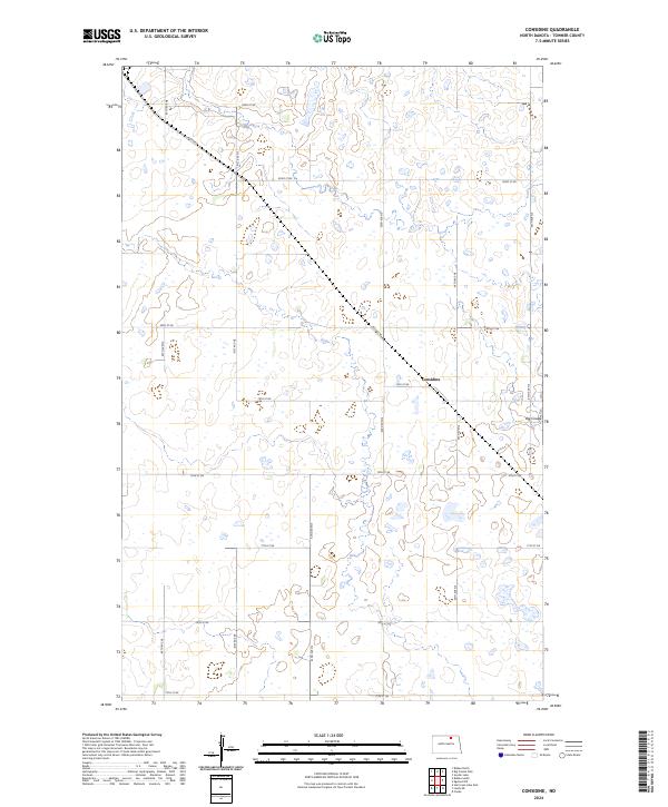
2024 Considine
Towner County, ND
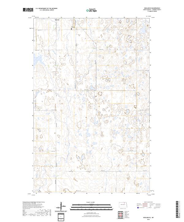
2024 Egeland SE
Towner County, ND
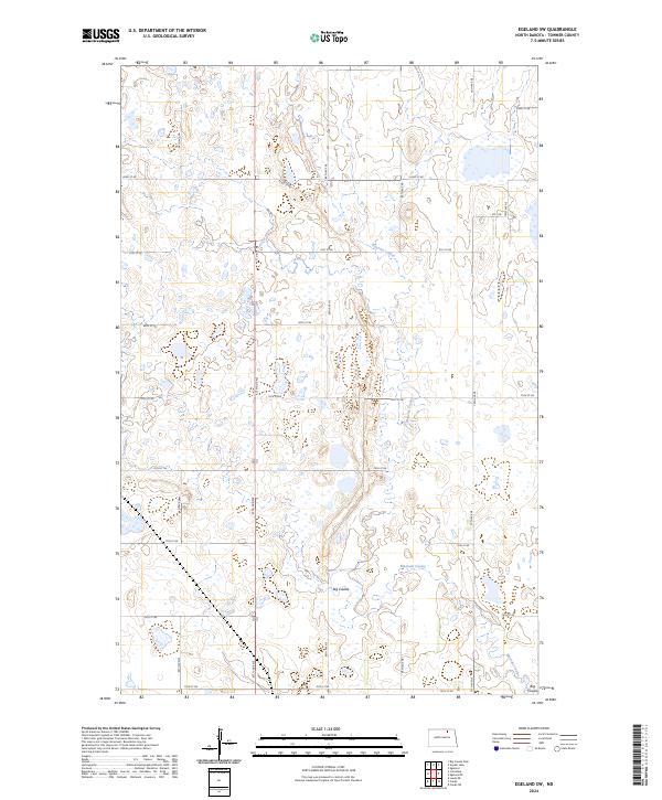
2024 Egeland SW
Towner County, ND
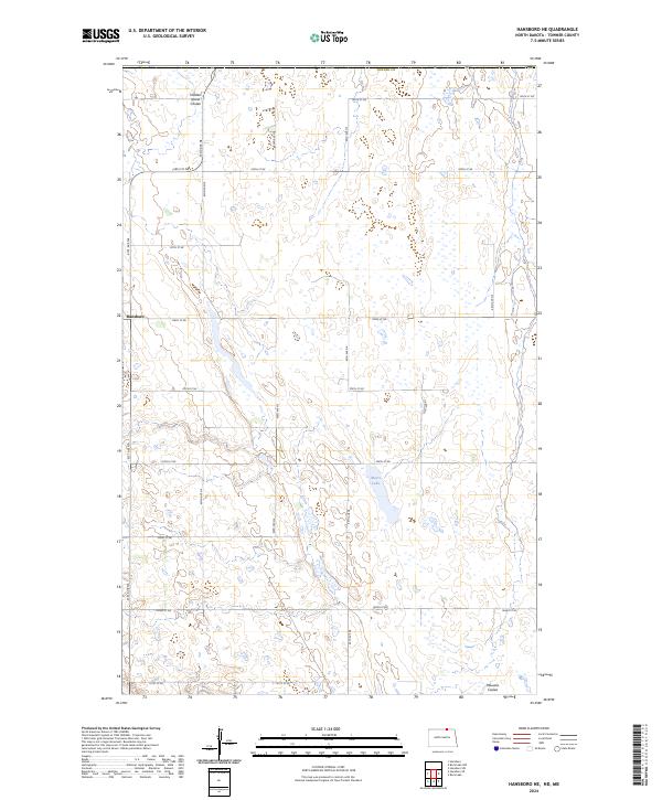
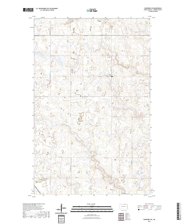
2024 Hansboro NE
Towner County, ND
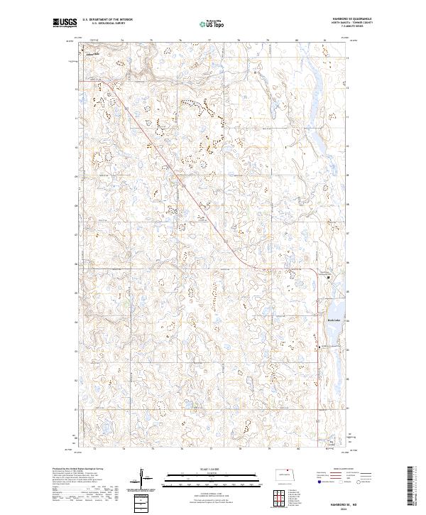
2024 Hansboro SE
Towner County, ND
2024 Hansboro SW
Towner County, ND
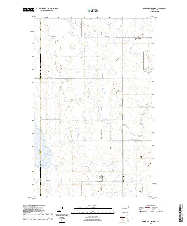
2024 Hurricane Lake East
Towner County, ND
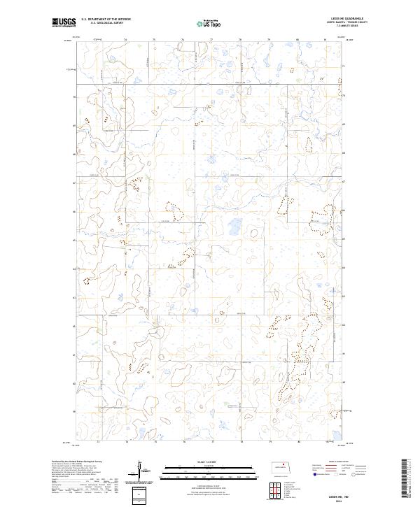
2024 Leeds NE
Towner County, ND
2024 Rock Lake NE
Towner County, ND
2024 Rock Lake NW
Towner County, ND
2024 Rock Lake SE
Towner County, ND
2024 Rock Lake
Towner County, ND
2024 Snyder Lake
Towner County, ND