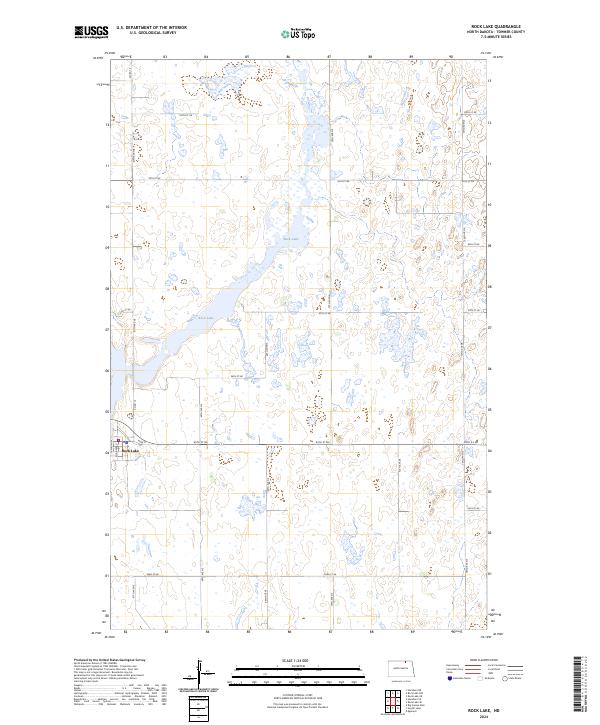
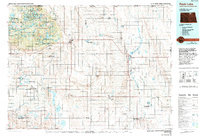
2024 Map of Rock Lake
USGS Topo · Published 2024About this map
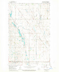
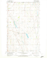
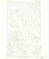
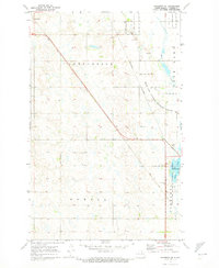
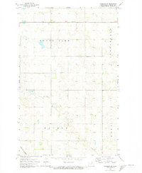
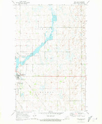
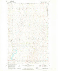
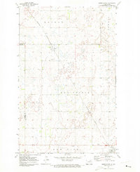
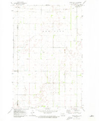
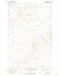
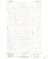
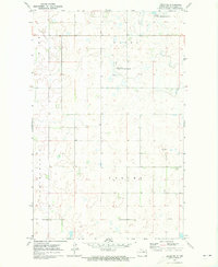
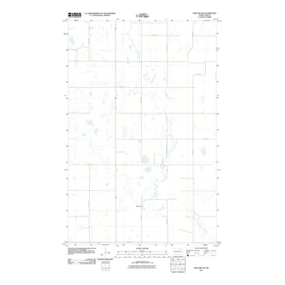
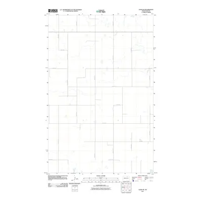
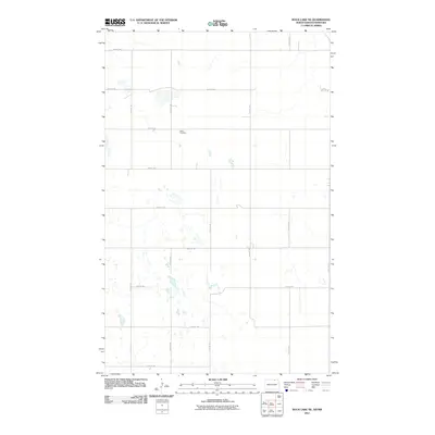
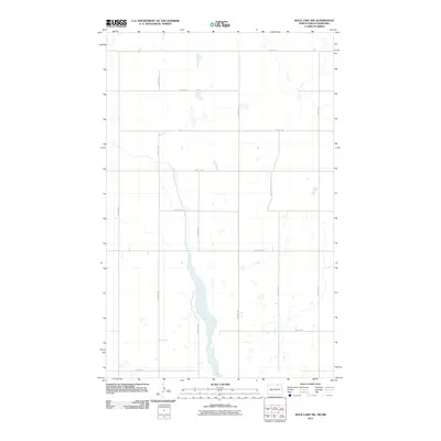
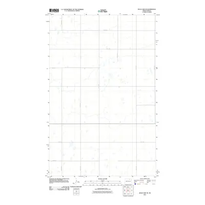
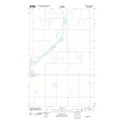
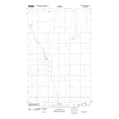
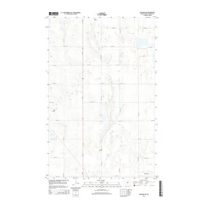
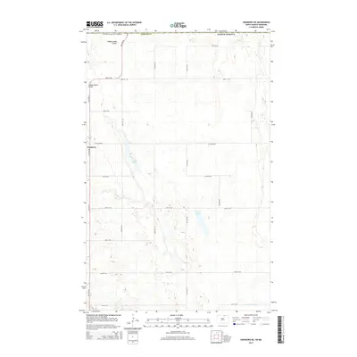
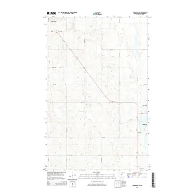
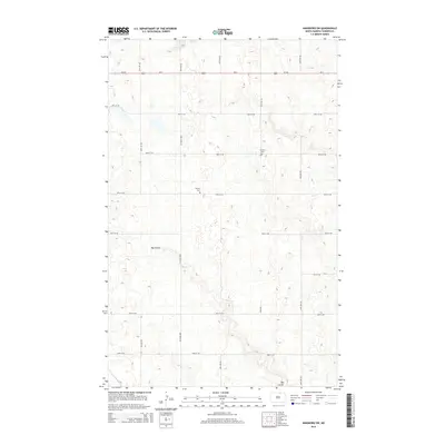
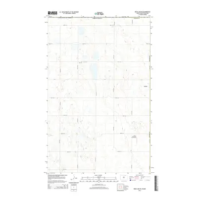
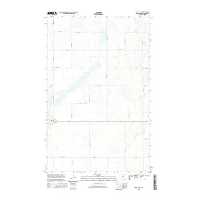
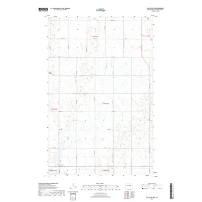
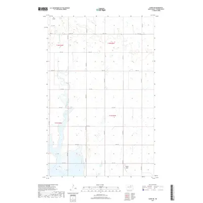
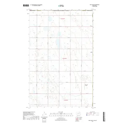
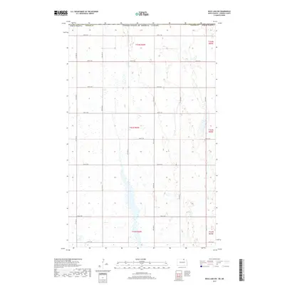
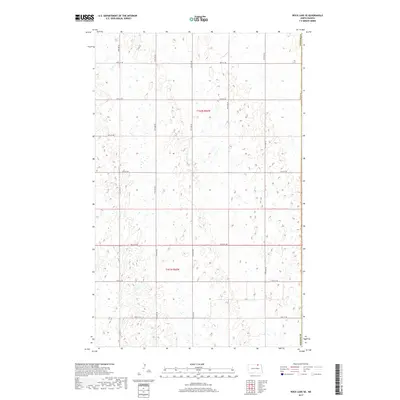
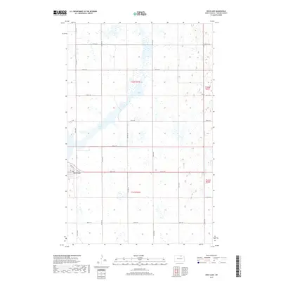
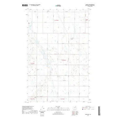
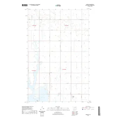
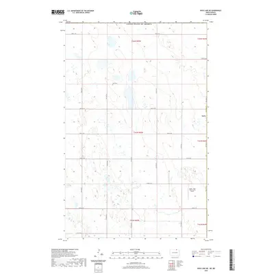
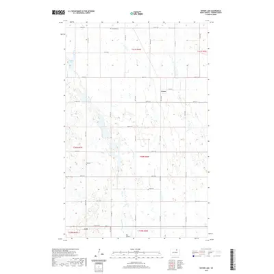
The settlement of Rock Lake serves as a local hub in this prairie landscape, where the street grid of Main St, Eller Ave, and Laphan Ave meets the surrounding agricultural section lines. This modern survey illustrates a region defined by its conservation areas, notably the Rock Lake National Wildlife Refuge and the Towner County Waterfowl Production Area. These protected wetlands and water bodies, including the central Rock Lake, are integrated into the Public Land Survey System grid, which is clearly marked by rural roads like 93rd St NE and 72nd Ave NE. In the southern portion of the map, the Brumba National Wildlife Refuge further highlights the importance of the migratory flyway in Towner County, where the landscape is an intricate network of sloughs and cultivated fields.
Find a feature on this map
27 named features on this map. Tap any name to fly to it.
Don’t see what you’re looking for? This feature index may not catch every label — zoom into the map to look around manually.
Map Details
Editions of this 2024 Rock Lake Map
This is the sole edition of this map. No revisions or reprints were ever made.
Historical Maps of Rock Lake Through Time
103 maps found
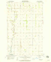
1957 Cando NE
Towner County, ND
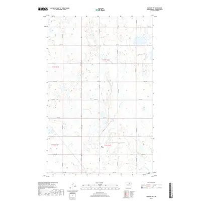
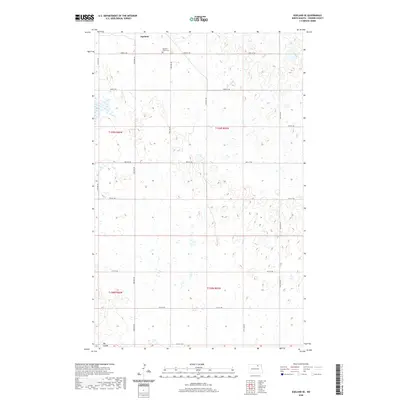
1962 Egeland SE
Towner County, ND
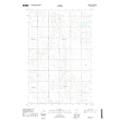
1962 Egeland SW
Towner County, ND
1962 Snyder Lake
Towner County, ND
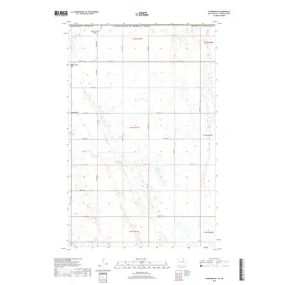
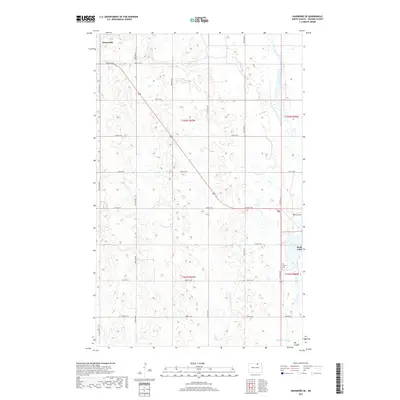
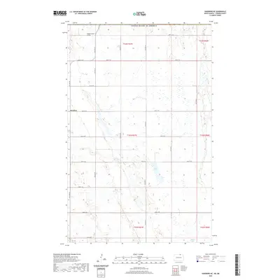
1969 Hansboro NE
Towner County, ND
1969 Rock Lake NE
Towner County, ND

1969 Rock Lake NW
Towner County, ND
1970 Hansboro SE
Towner County, ND
1970 Hansboro SW
Towner County, ND

1970 Rock Lake SE
Towner County, ND
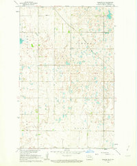
1970 Rock Lake
Towner County, ND
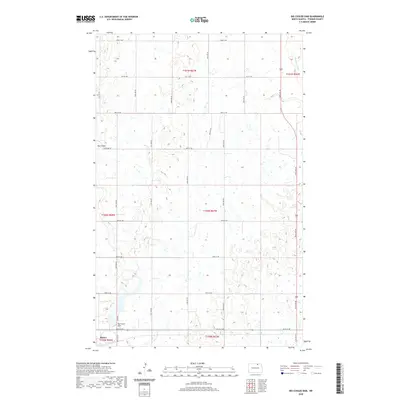
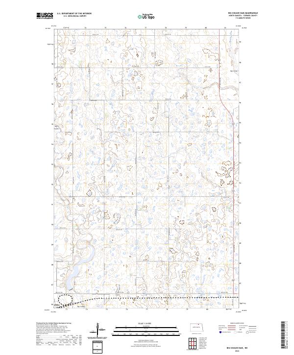
1971 Big Coulee Dam
Towner County, ND
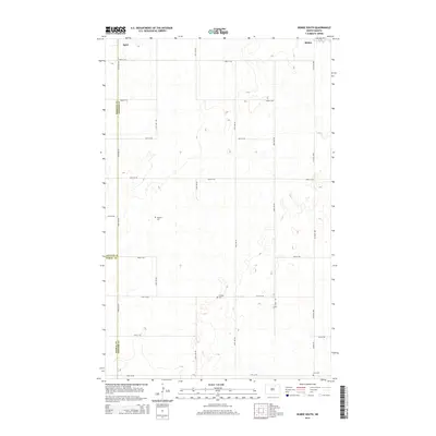
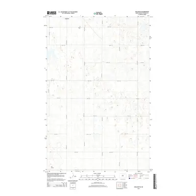
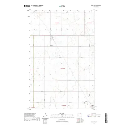
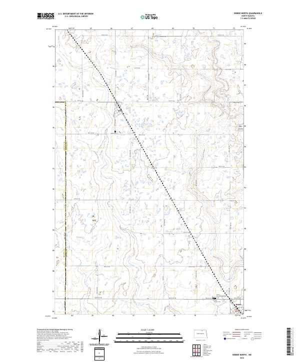
1971 Bisbee North
Towner County, ND
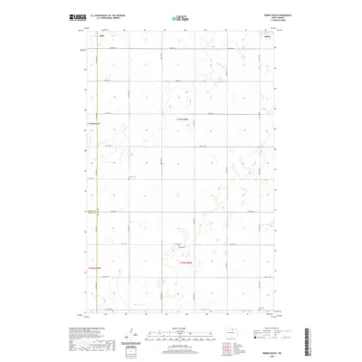
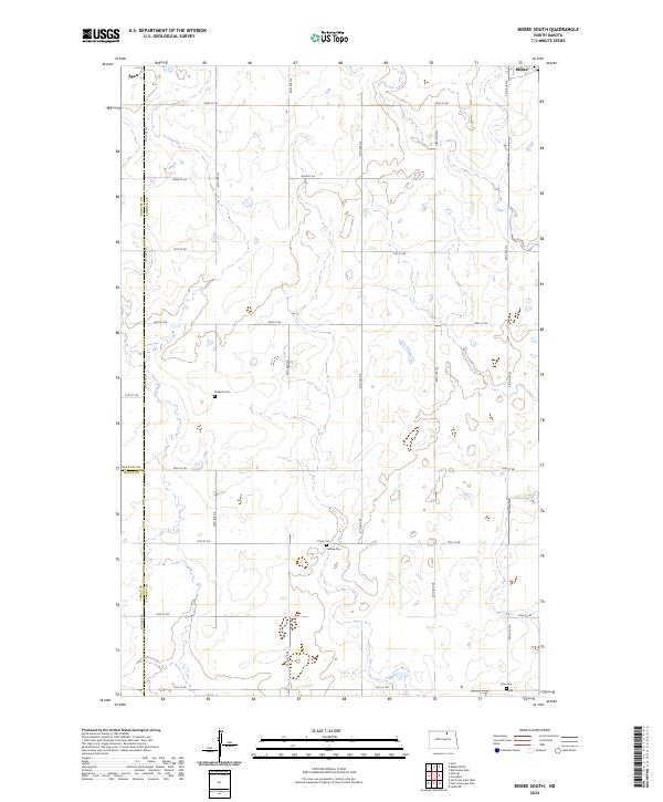
1971 Bisbee South
Towner County, ND
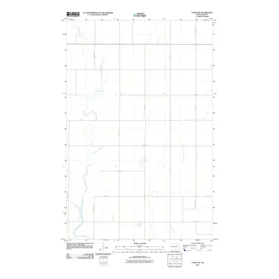
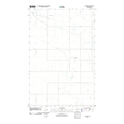
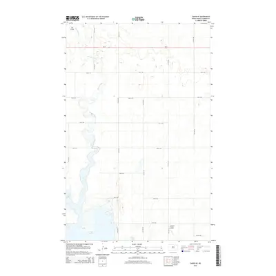
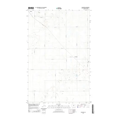
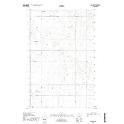
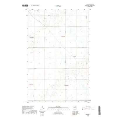
1971 Considine
Towner County, ND
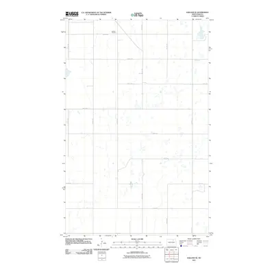
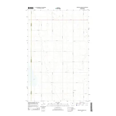
1971 Hurricane Lake East
Towner County, ND
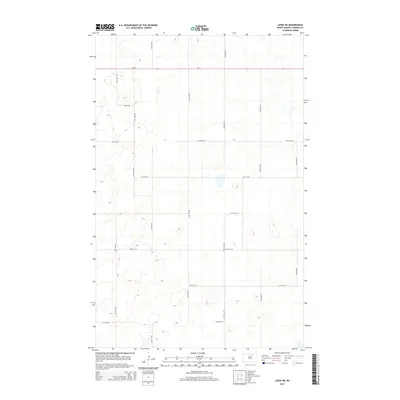
1971 Leeds NE
Towner County, ND
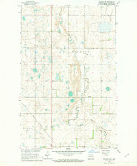
1985 Rock Lake
Towner County, ND
2011 Big Coulee Dam
Towner County, ND
2011 Bisbee North
Towner County, ND
2011 Bisbee South
Towner County, ND
2011 Cando NE
Towner County, ND
2011 Considine
Towner County, ND
2011 Egeland SE
Towner County, ND
2011 Egeland SW
Towner County, ND
2011 Hansboro NE
Towner County, ND
2011 Hansboro SE
Towner County, ND
2011 Hansboro SW
Towner County, ND
2011 Hurricane Lake East
Towner County, ND
2011 Leeds NE
Towner County, ND
2011 Rock Lake NE
Towner County, ND
2011 Rock Lake NW
Towner County, ND
2011 Rock Lake SE
Towner County, ND
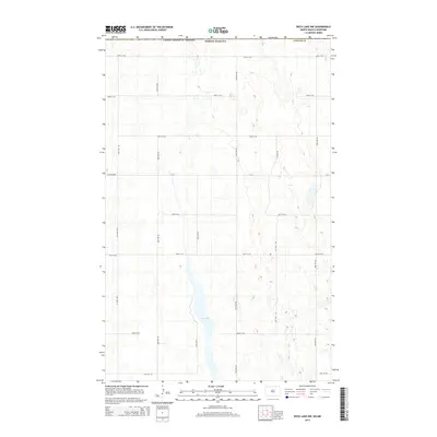
2011 Rock Lake
Towner County, ND
2011 Snyder Lake
Towner County, ND
2014 Big Coulee Dam
Towner County, ND
2014 Bisbee North
Towner County, ND
2014 Bisbee South
Towner County, ND
2014 Cando NE
Towner County, ND
2014 Considine
Towner County, ND
2014 Egeland SE
Towner County, ND
2014 Egeland SW
Towner County, ND
2014 Hansboro NE
Towner County, ND
2014 Hansboro SE
Towner County, ND
2014 Hansboro SW
Towner County, ND
2014 Hurricane Lake East
Towner County, ND
2014 Leeds NE
Towner County, ND
2014 Rock Lake NE
Towner County, ND
2014 Rock Lake NW
Towner County, ND
2014 Rock Lake SE
Towner County, ND
2014 Rock Lake
Towner County, ND
2014 Snyder Lake
Towner County, ND
2017 Big Coulee Dam
Towner County, ND
2017 Bisbee North
Towner County, ND
2017 Bisbee South
Towner County, ND
2017 Cando NE
Towner County, ND
2017 Considine
Towner County, ND
2017 Egeland SE
Towner County, ND
2017 Egeland SW
Towner County, ND
2017 Hansboro NE
Towner County, ND
2017 Hansboro SE
Towner County, ND
2017 Hansboro SW
Towner County, ND
2017 Hurricane Lake East
Towner County, ND
2017 Leeds NE
Towner County, ND
2017 Rock Lake NE
Towner County, ND
2017 Rock Lake NW
Towner County, ND
2017 Rock Lake SE
Towner County, ND
2017 Rock Lake
Towner County, ND
2017 Snyder Lake
Towner County, ND
2020 Big Coulee Dam
Towner County, ND
2020 Bisbee North
Towner County, ND
2020 Bisbee South
Towner County, ND
2020 Cando NE
Towner County, ND
2020 Considine
Towner County, ND
2020 Egeland SE
Towner County, ND
2020 Egeland SW
Towner County, ND
2020 Hansboro NE
Towner County, ND
2020 Hansboro SE
Towner County, ND
2020 Hansboro SW
Towner County, ND
2020 Hurricane Lake East
Towner County, ND
2020 Leeds NE
Towner County, ND
2020 Rock Lake NE
Towner County, ND
2020 Rock Lake NW
Towner County, ND
2020 Rock Lake SE
Towner County, ND
2020 Rock Lake
Towner County, ND
2020 Snyder Lake
Towner County, ND
2024 Big Coulee Dam
Towner County, ND
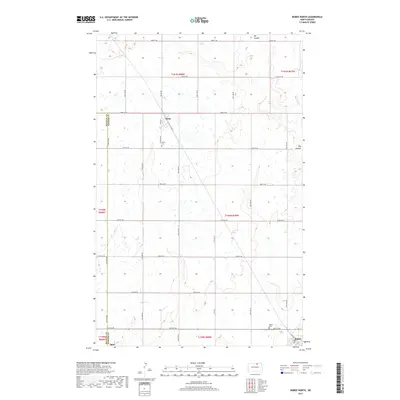
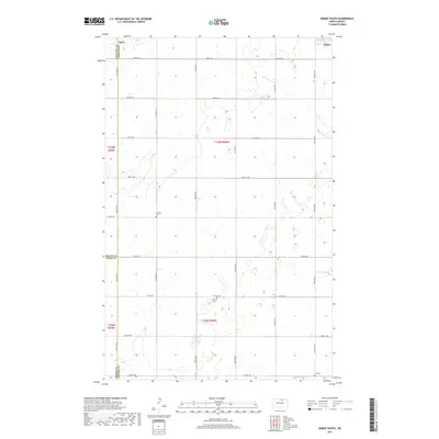
2024 Bisbee North
Towner County, ND
2024 Bisbee South
Towner County, ND

2024 Cando NE
Towner County, ND
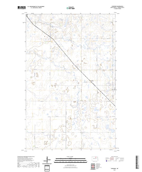
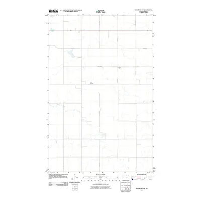
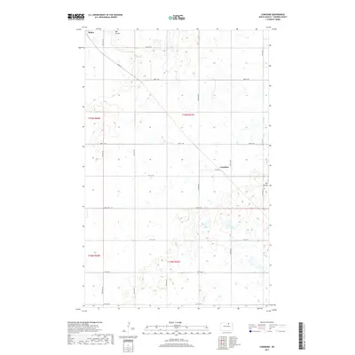
2024 Considine
Towner County, ND
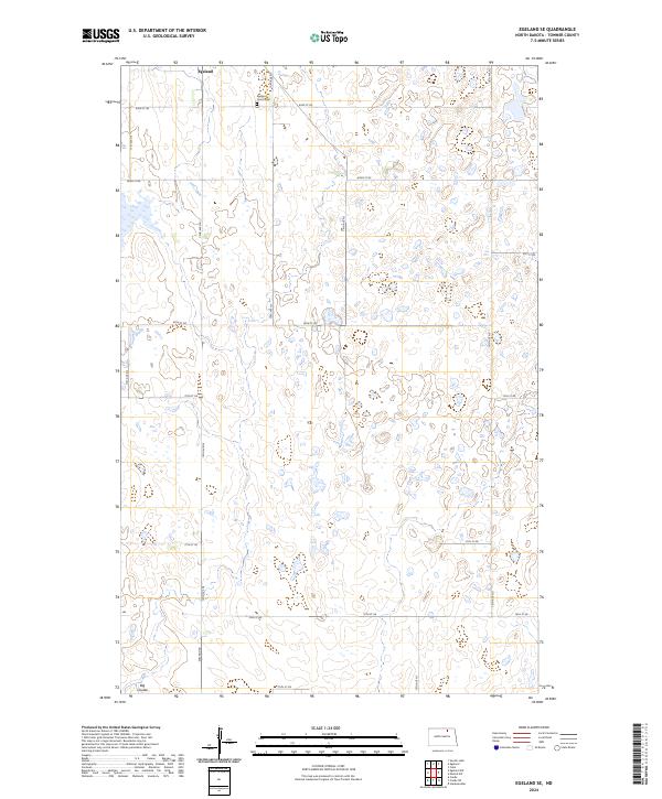
2024 Egeland SE
Towner County, ND
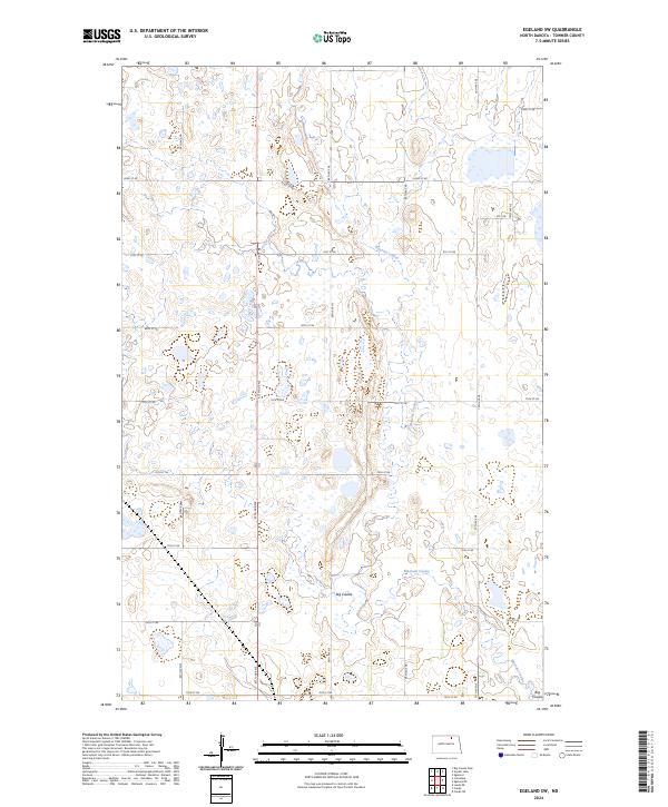
2024 Egeland SW
Towner County, ND
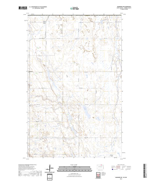
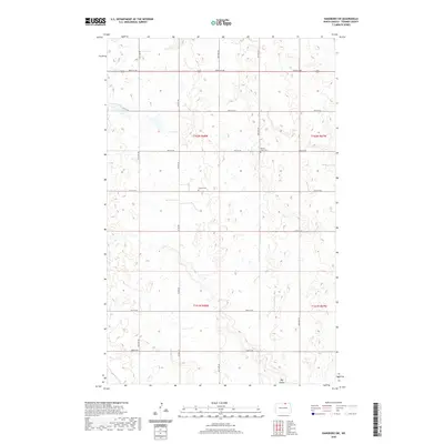
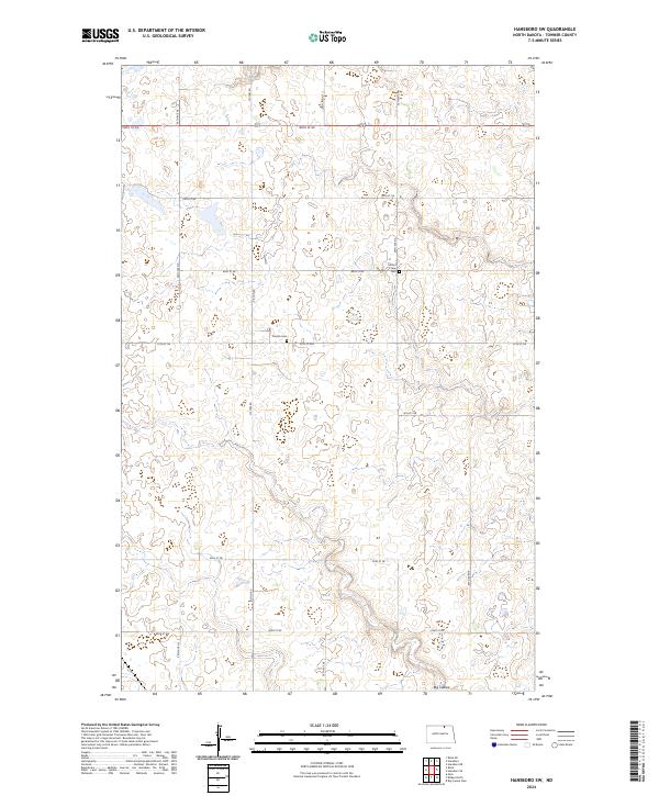
2024 Hansboro NE
Towner County, ND
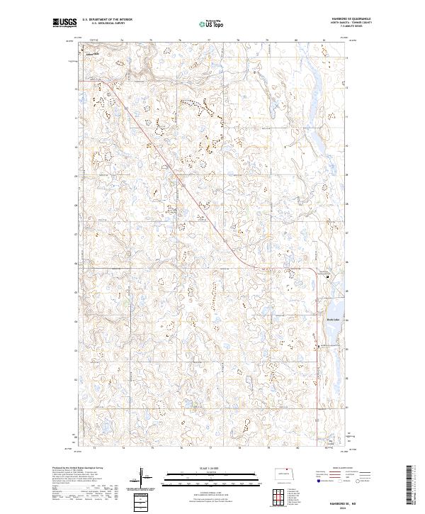
2024 Hansboro SE
Towner County, ND
2024 Hansboro SW
Towner County, ND
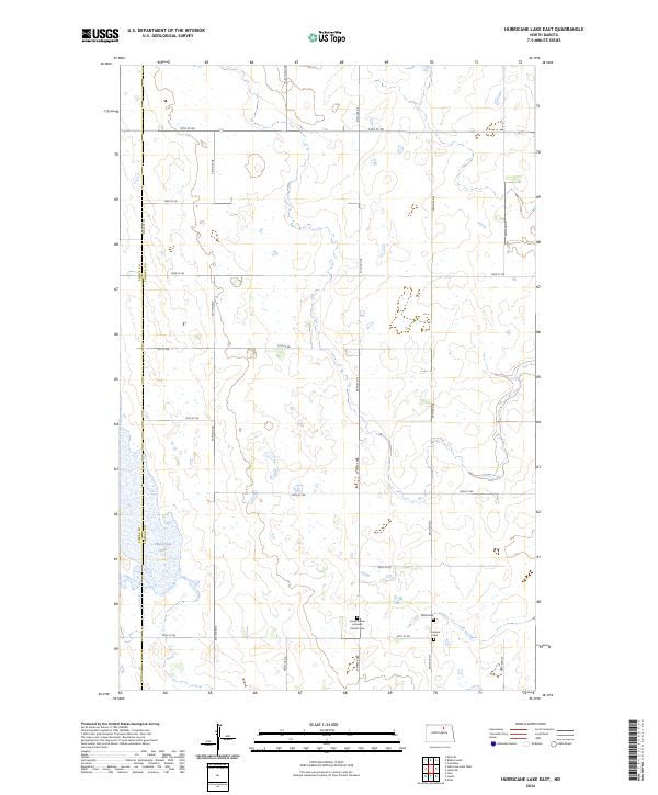
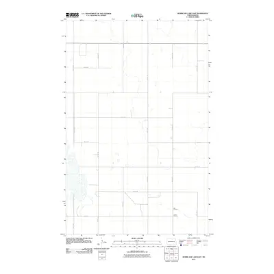
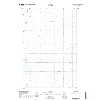
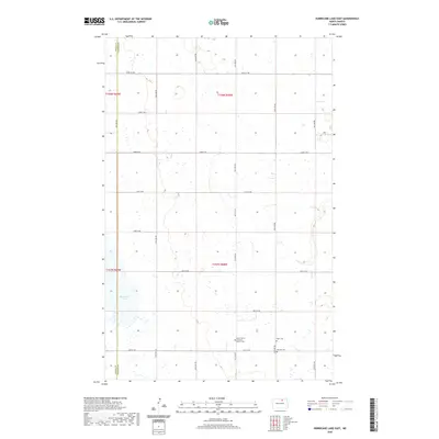
2024 Hurricane Lake East
Towner County, ND
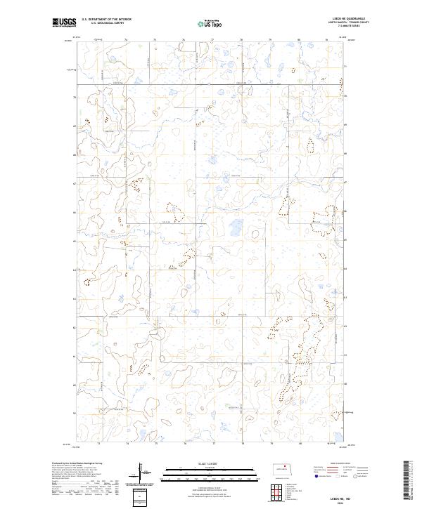
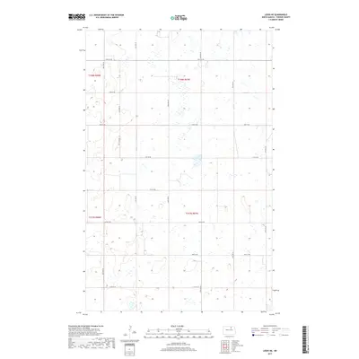
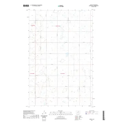
2024 Leeds NE
Towner County, ND
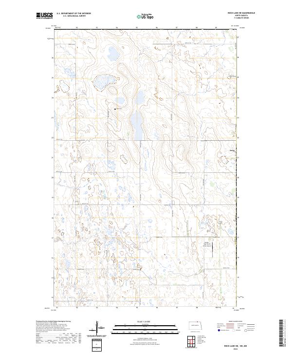
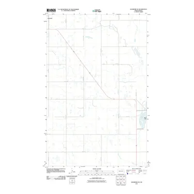
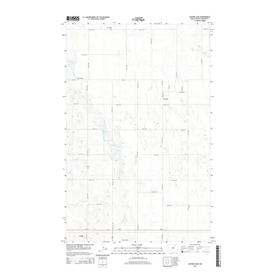
2024 Rock Lake NE
Towner County, ND
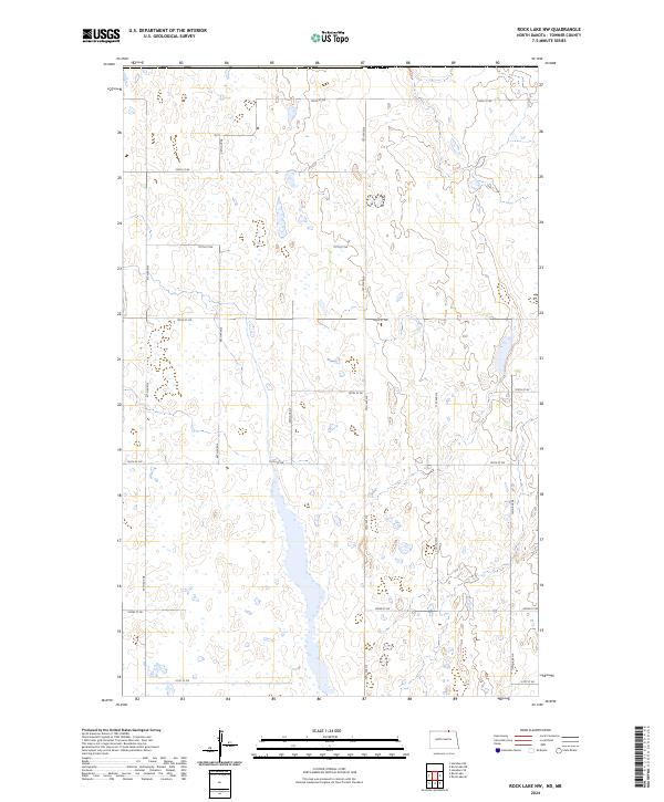
2024 Rock Lake NW
Towner County, ND
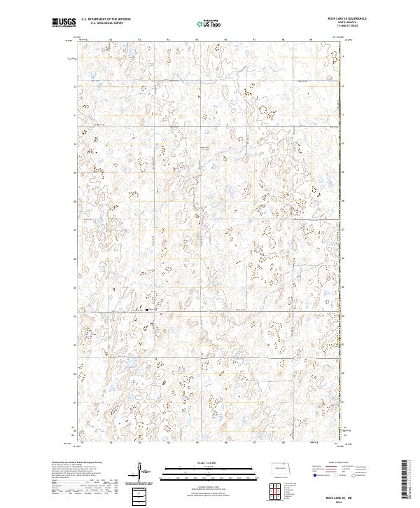
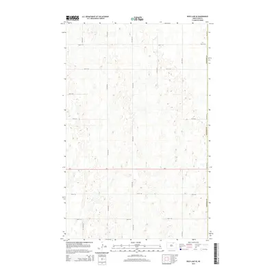
2024 Rock Lake SE
Towner County, ND
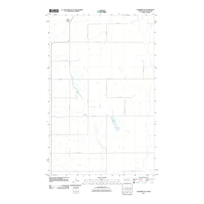
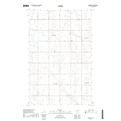
2024 Rock Lake
Towner County, ND
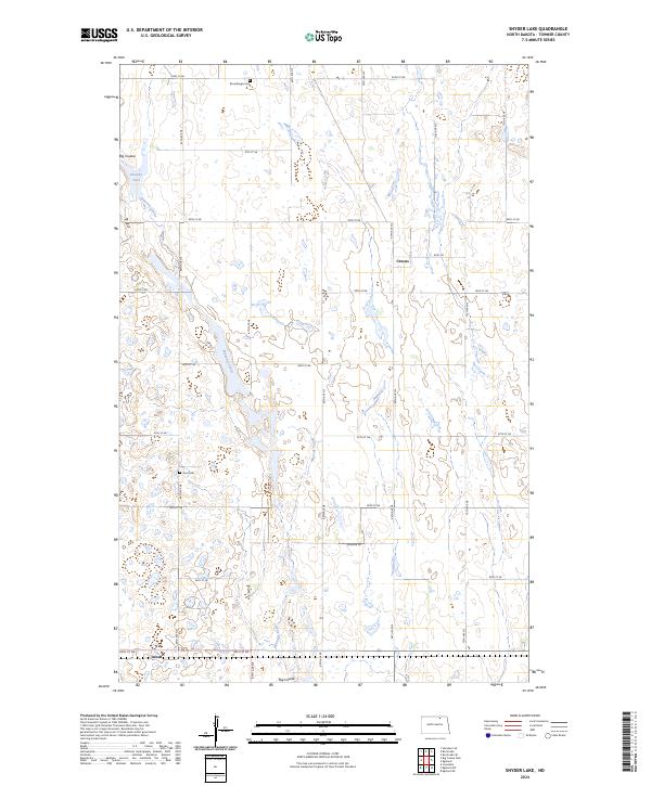
2024 Snyder Lake
Towner County, ND