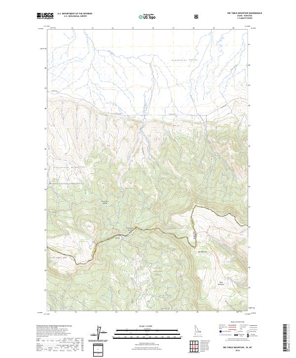
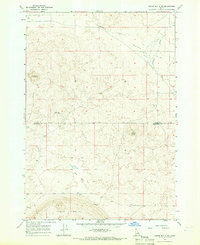
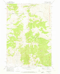
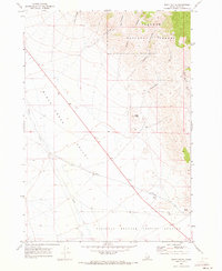
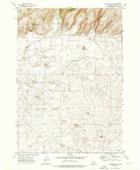
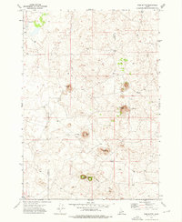
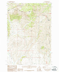
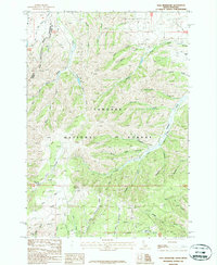
2024 Map of Big Table Mountain
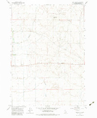
USGS Topo · Published 2024This historical map portrays the area of Big Table Mountain in 2024, primarily covering Clark County as well as portions of Montana. Featuring a scale of 1:24000, this map provides a highly detailed snapshot of the terrain, roads, buildings, counties, and historical landmarks in the Big Table Mountain region at the time. Published in 2024, it is the sole known edition of this map.
Map Details
Editions of this 2024 Big Table Mountain Map
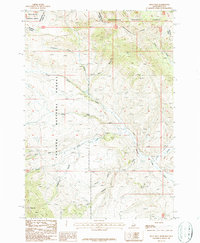
This is the sole edition of this map. No revisions or reprints were ever made.
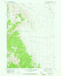
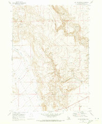
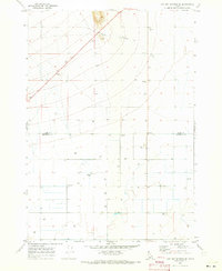
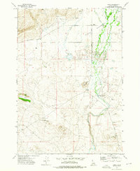
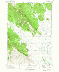
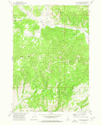
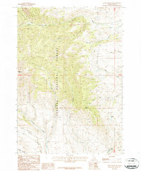
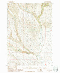
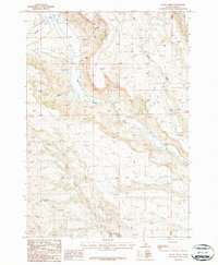
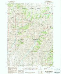
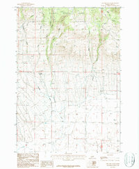
Historical Maps of Beaverhead County Through Time
70 maps found
1957 Edie Ranch
Clark County, ID
1957 Paul Reservoir
Clark County, ID
1964 Camas
Clark County, ID
1964 Cedar Butte SE
Clark County, ID
1964 Cedar Butte SW
Clark County, ID
1964 Dubois NE
Clark County, ID
1964 Dubois NW
Clark County, ID
1964 Lone Butte
Clark County, ID
1964 Small
Clark County, ID
1965 Sheridan Reservoir
Clark County, ID
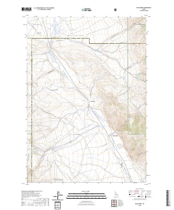
1969 Blue Dome
Clark County, ID
1969 Copper Mtn
Clark County, ID
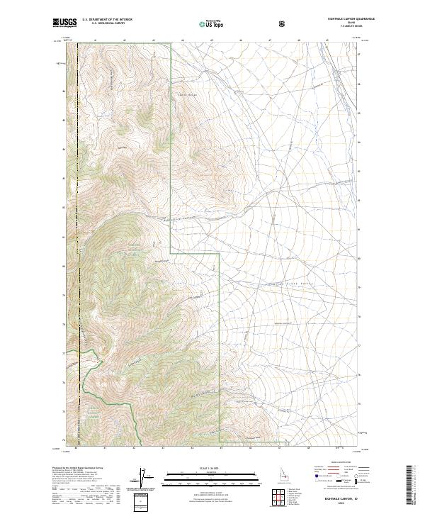
1969 Eightmile Canyon
Clark County, ID
1969 Lidy Hot Springs
Clark County, ID
1969 Lidy Hot Springs SE
Clark County, ID
1969 Scott Butte
Clark County, ID
1969 Shamrock Gulch
Clark County, ID
1969 Snaky Canyon
Clark County, ID
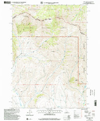
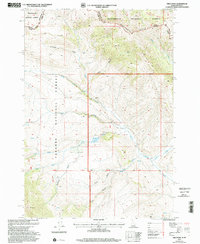
1972 Antelope Valley
Clark County, ID
1972 Gardner Lake
Clark County, ID
1972 Idmon
Clark County, ID
1972 Kilgore
Clark County, ID
1972 Lookout Point
Clark County, ID
1972 Pine Butte
Clark County, ID
1972 Snowshoe Butte
Clark County, ID
1972 Spencer North
Clark County, ID
1972 Spencer South
Clark County, ID
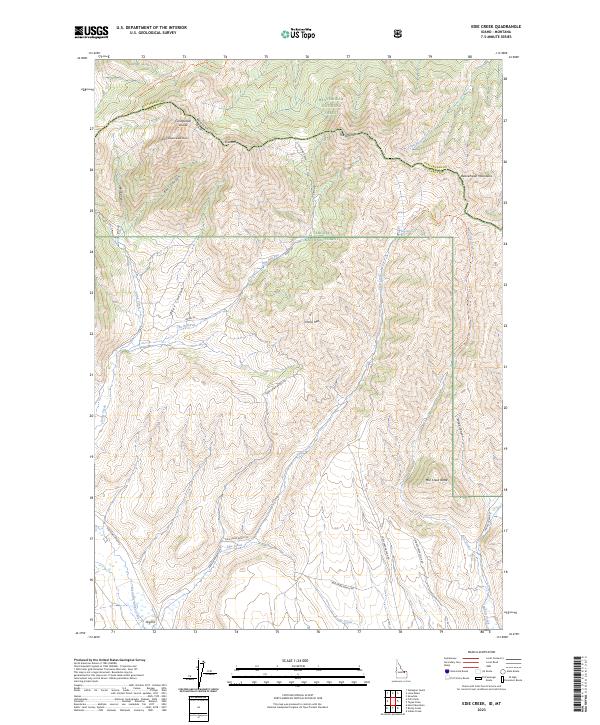
1987 Edie Creek
Clark County, ID
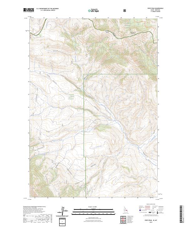
1987 Fritz Peak
Clark County, ID
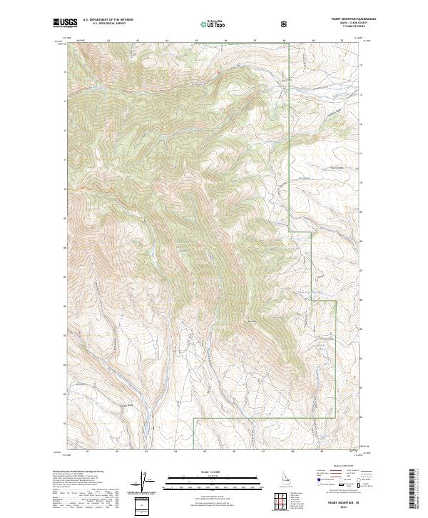
1987 Heart Mountain
Clark County, ID
1987 Indian Creek
Clark County, ID
1987 Paul Reservoir
Clark County, ID
1987 Rocky Creek
Clark County, ID
1987 Tepee Draw
Clark County, ID
1987 Thunder Gulch
Clark County, ID
1997 Edie Creek
Clark County, ID
1997 Fritz Peak
Clark County, ID
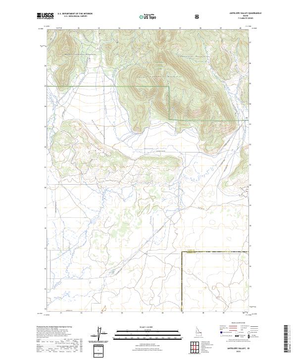
2023 Antelope Valley
Clark County, ID
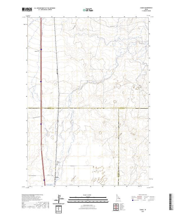
2023 Camas
Clark County, ID
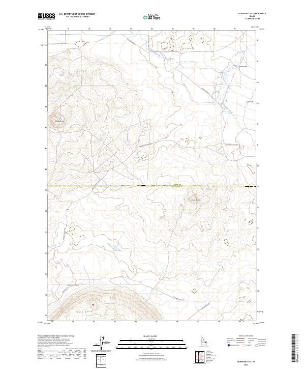
2023 Cedar Butte
Clark County, ID
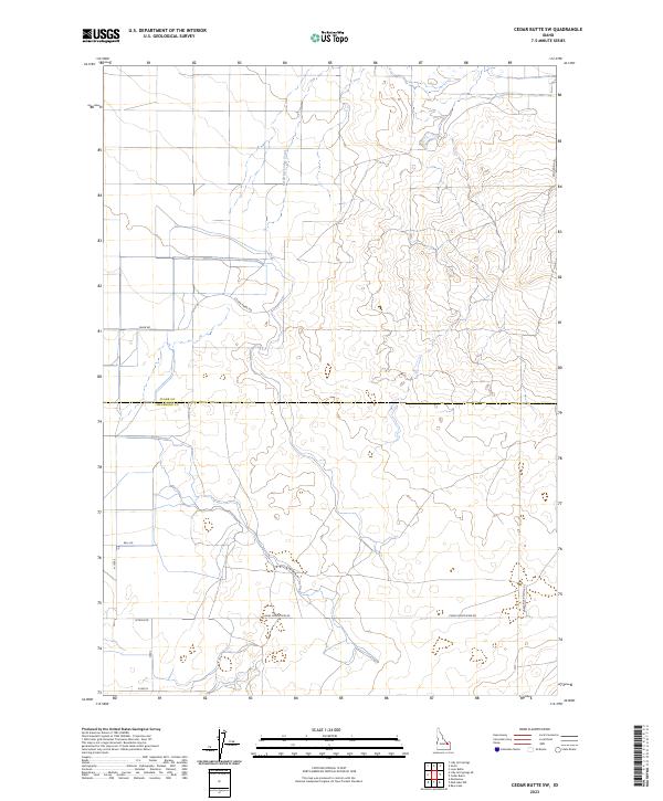
2023 Cedar Butte SW
Clark County, ID
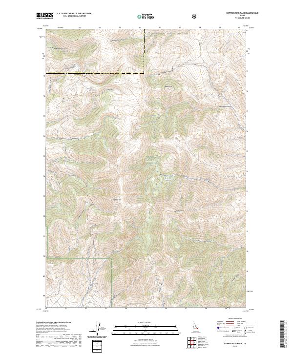
2023 Copper Mountain
Clark County, ID
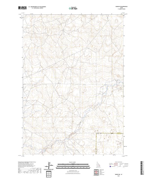
2023 Dubois NE
Clark County, ID
2023 Edie Creek
Clark County, ID
2023 Eightmile Canyon
Clark County, ID
2023 Fritz Peak
Clark County, ID

2023 Gardner Lake
Clark County, ID
2023 Heart Mountain
Clark County, ID
2023 Idmon
Clark County, ID
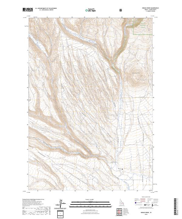
2023 Indian Creek
Clark County, ID
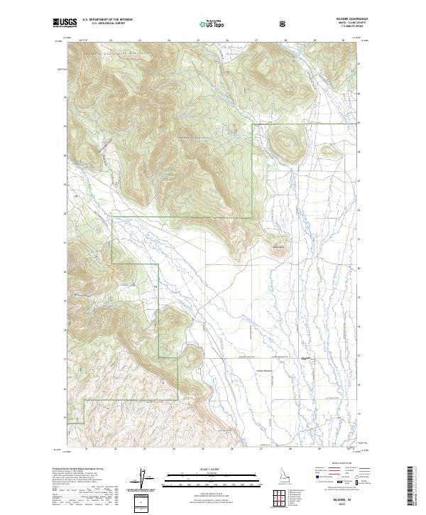
2023 Kilgore
Clark County, ID
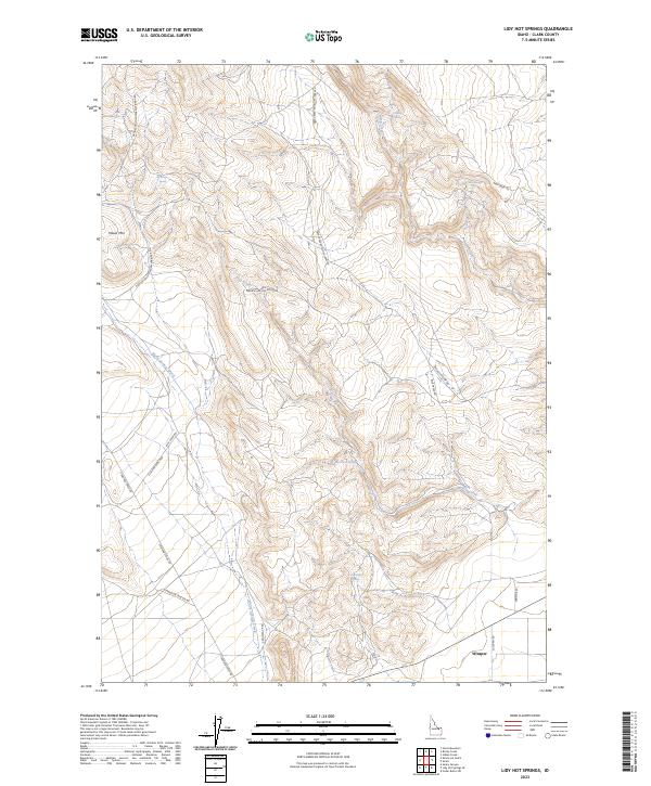
2023 Lidy Hot Springs
Clark County, ID
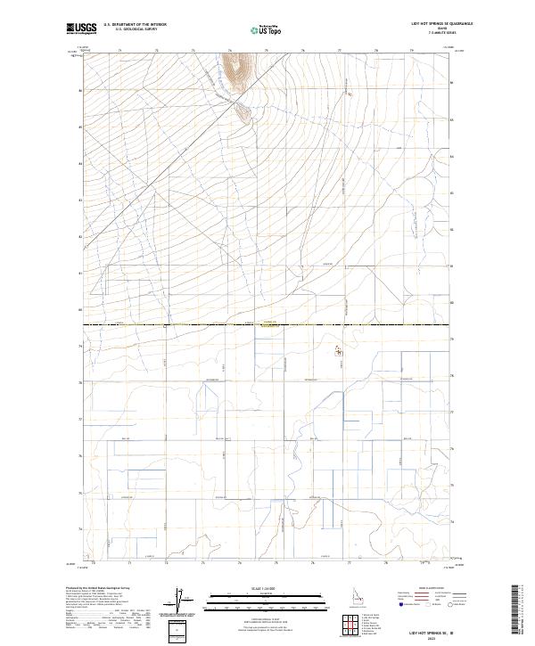
2023 Lidy Hot Springs SE
Clark County, ID
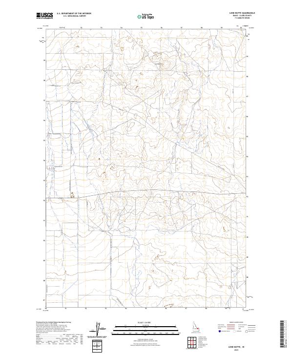
2023 Lone Butte
Clark County, ID
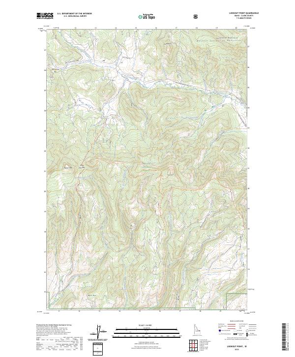
2023 Lookout Point
Clark County, ID
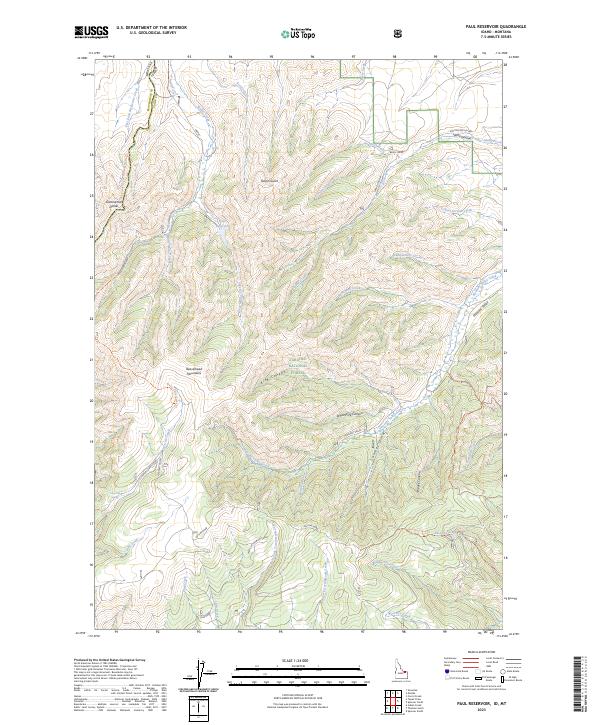
2023 Paul Reservoir
Clark County, ID
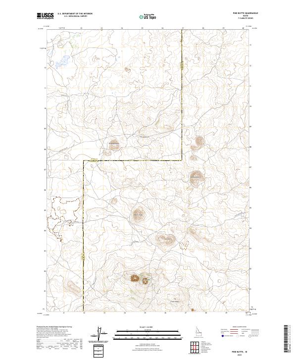
2023 Pine Butte
Clark County, ID
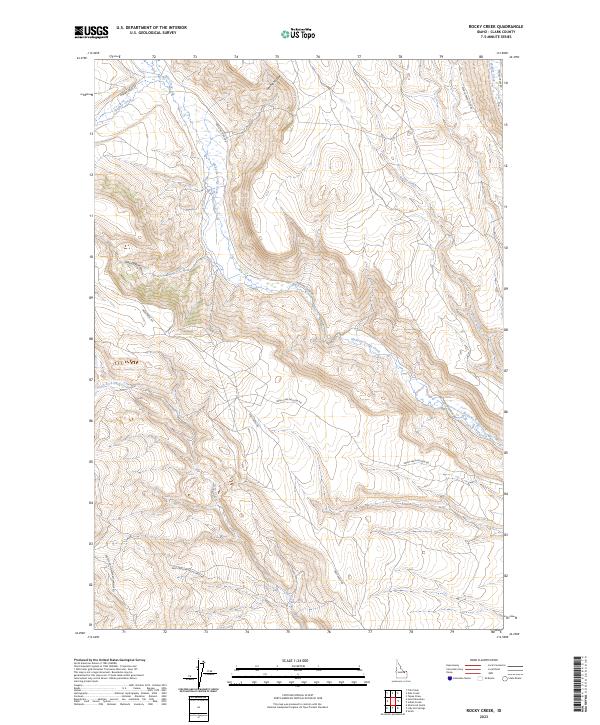
2023 Rocky Creek
Clark County, ID
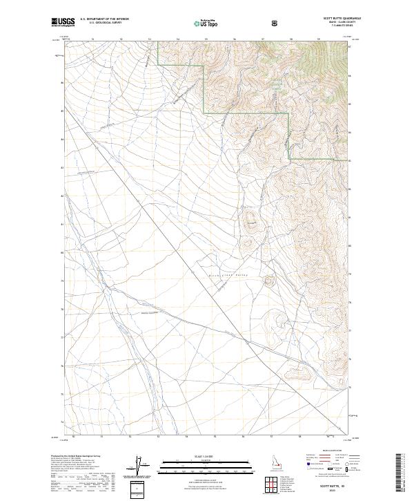
2023 Scott Butte
Clark County, ID
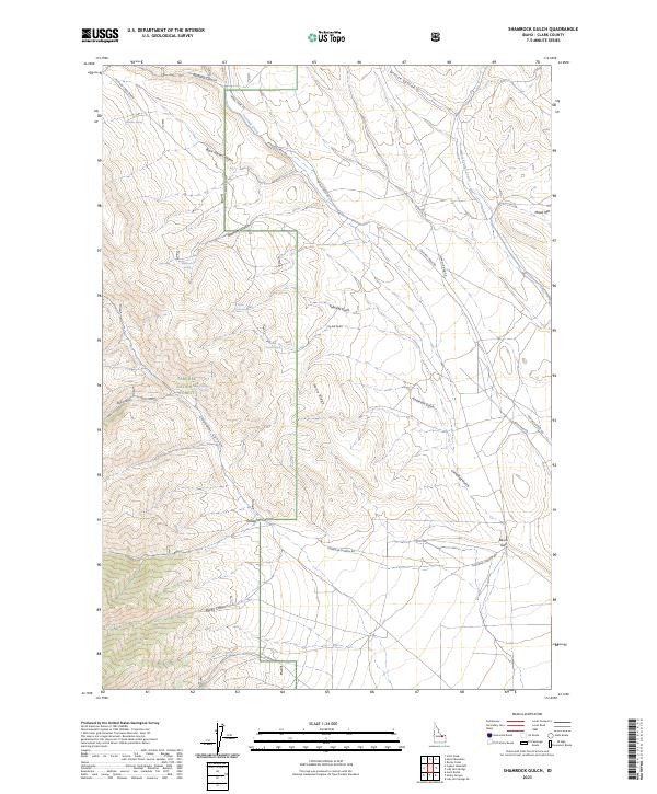
2023 Shamrock Gulch
Clark County, ID
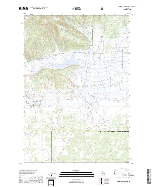
2023 Sheridan Reservoir
Clark County, ID
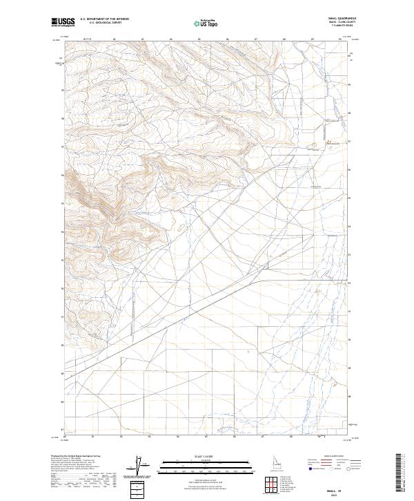
2023 Small
Clark County, ID
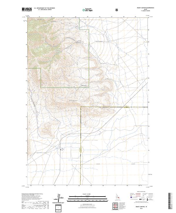
2023 Snaky Canyon
Clark County, ID
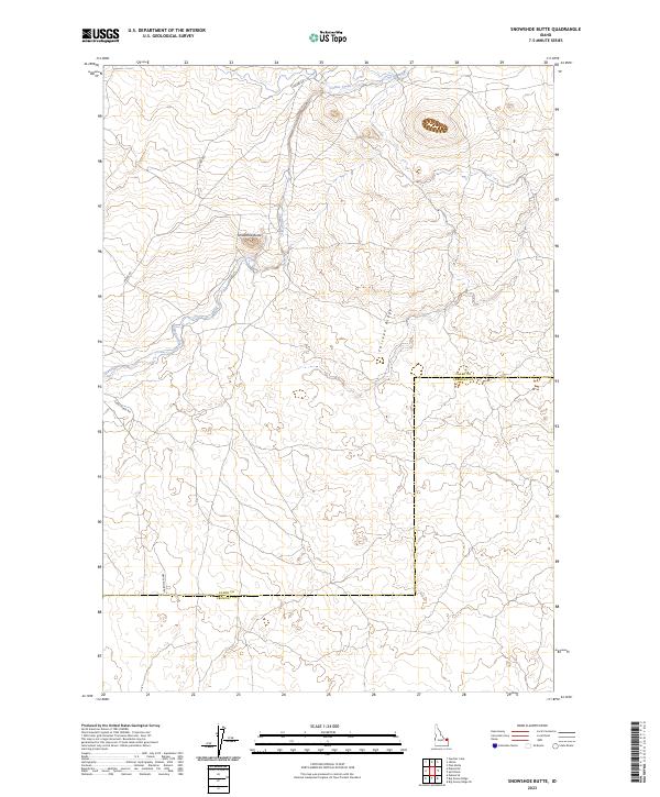
2023 Snowshoe Butte
Clark County, ID
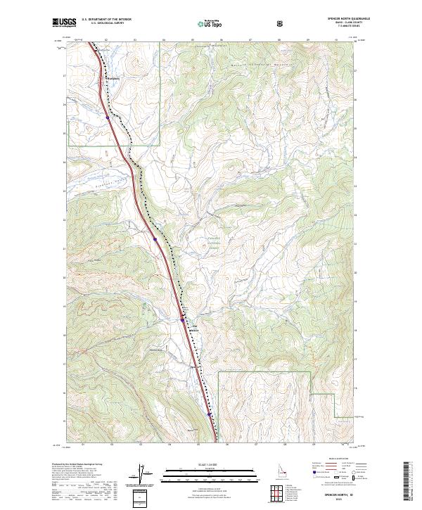
2023 Spencer North
Clark County, ID
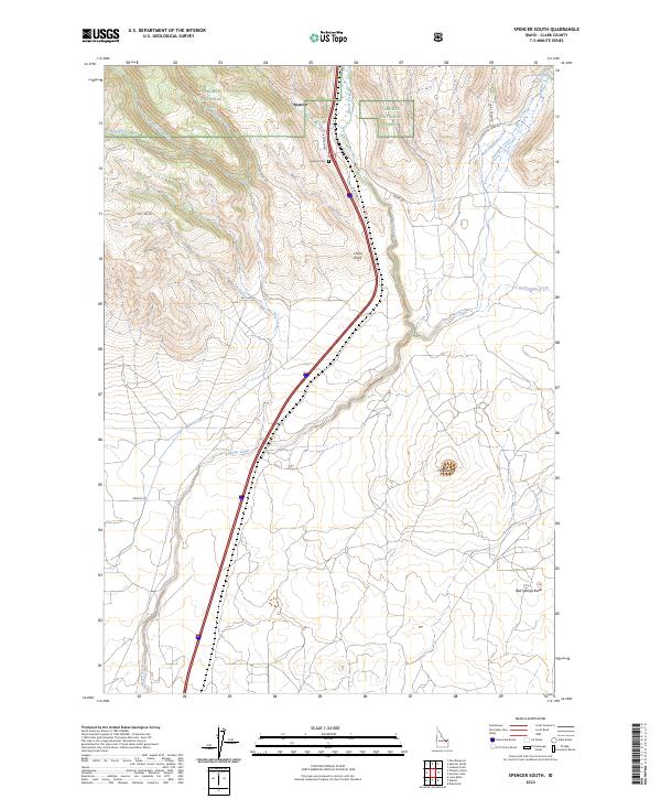
2023 Spencer South
Clark County, ID
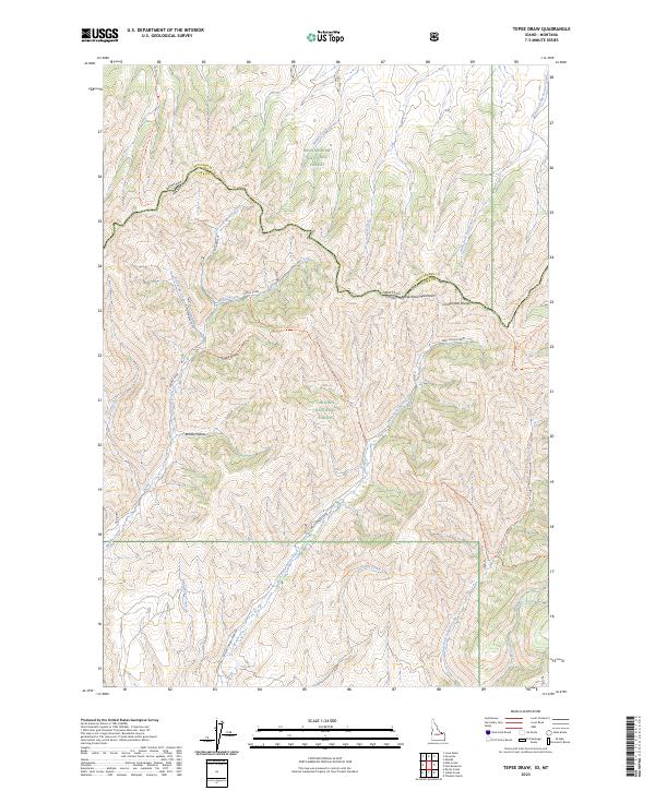
2023 Tepee Draw
Clark County, ID
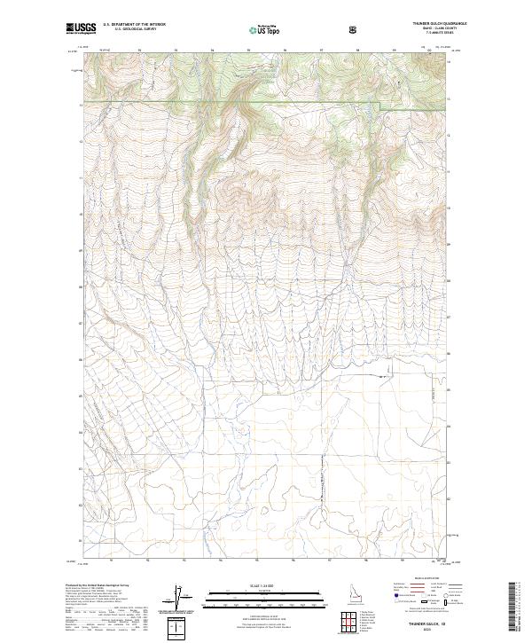
2023 Thunder Gulch
Clark County, ID
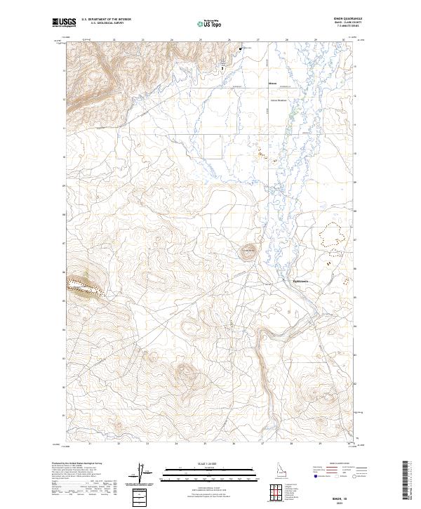
2024 Big Table Mountain
Clark County, ID
2024 Blue Dome
Clark County, ID