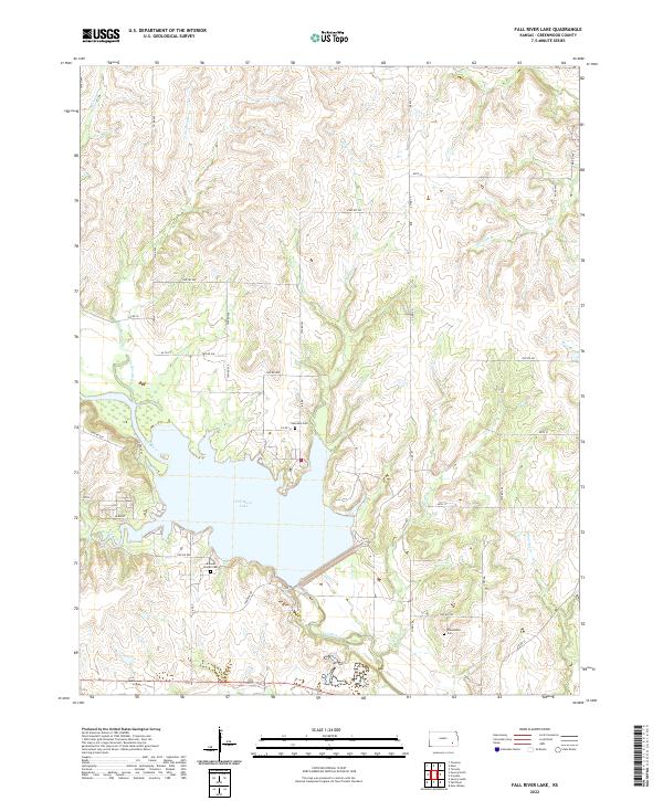
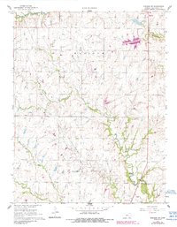
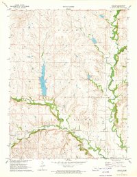
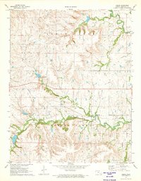
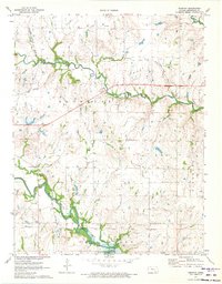
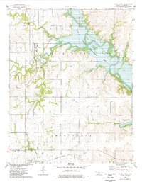
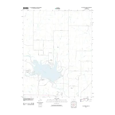
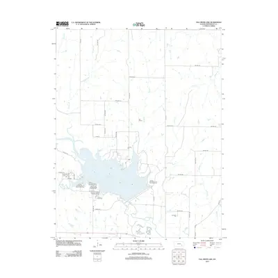
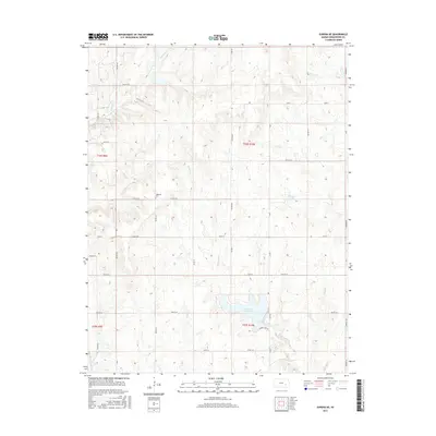
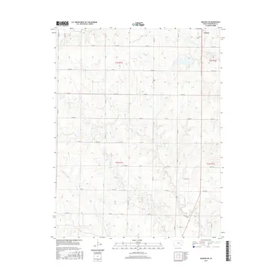
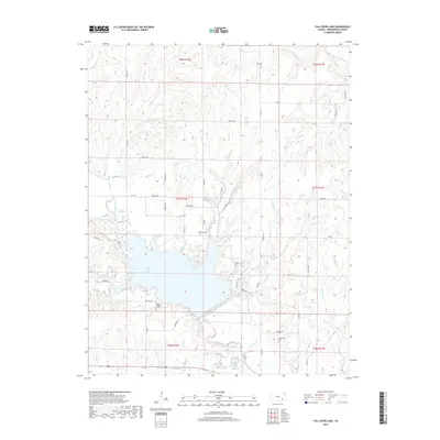
2022 Map of Fall River Lake
USGS Topo · Published 2022About this map
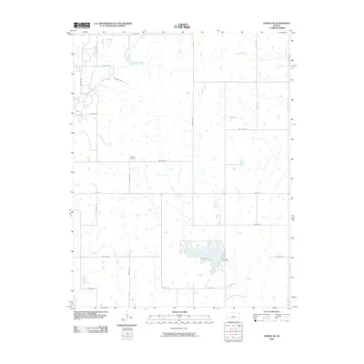
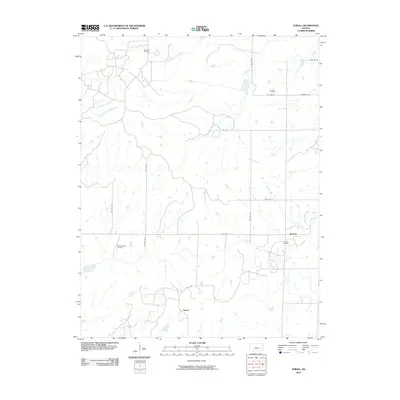
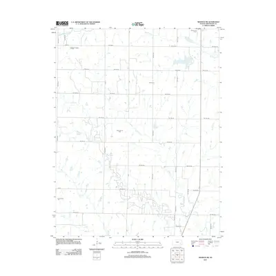
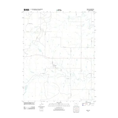
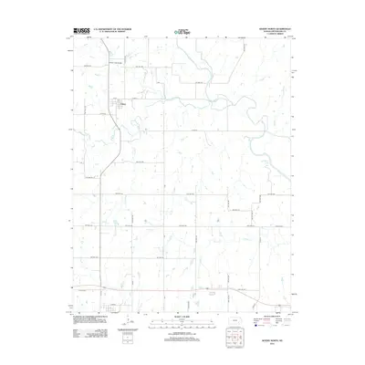
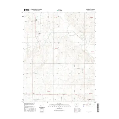
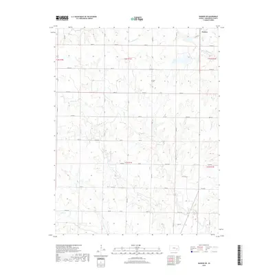
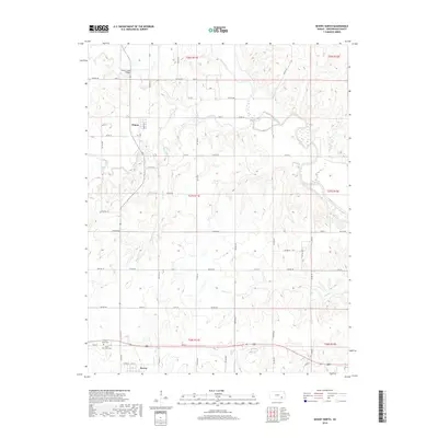
Fall River Lake dominates this Greenwood County landscape, where the controlled waters of the Fall River meet a network of prairie streams. The area is defined by its transition from high ground to the reservoir basin, with topographic landmarks like Lookout Pt providing vantage points over the surrounding drainage systems of Casner Creek and Crain Cr. For those tracing local history or family lineage, several small burial grounds are preserved on the higher elevations, including Township Cem near the lake’s northern reaches and Charleston Cem to the southeast.
Find a feature on this map
48 named features on this map. Tap any name to fly to it.
Don’t see what you’re looking for? This feature index may not catch every label — zoom into the map to look around manually.
Map Details
Editions of this 2022 Fall River Lake Map
This is the sole edition of this map. No revisions or reprints were ever made.
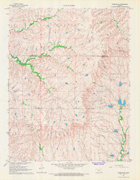
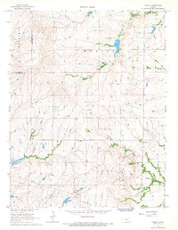
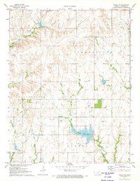
Historical Maps of Greenwood County Through Time
72 maps found
1964 Piedmont NE
Greenwood County, KS
1964 Piedmont NW
Greenwood County, KS
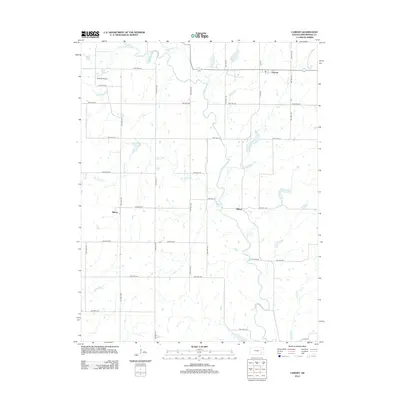
1967 Lamont
Greenwood County, KS
1967 Madison SW
Greenwood County, KS
1967 Teterville
Greenwood County, KS
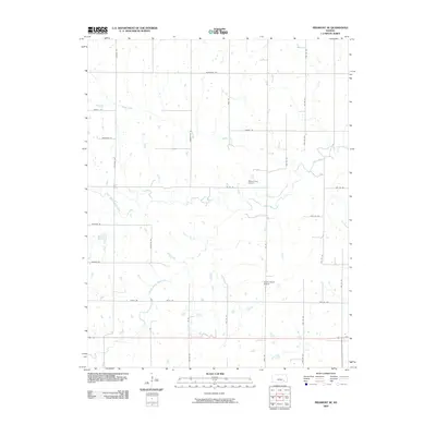
1967 Thrall
Greenwood County, KS
1971 Eureka NE
Greenwood County, KS
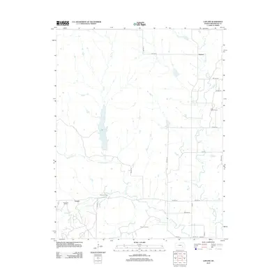
1971 Lapland
Greenwood County, KS
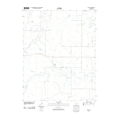
1971 Reece
Greenwood County, KS
1971 Tonovay
Greenwood County, KS

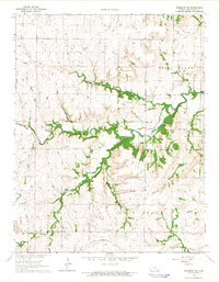
1975 Fall River Lake
Greenwood County, KS
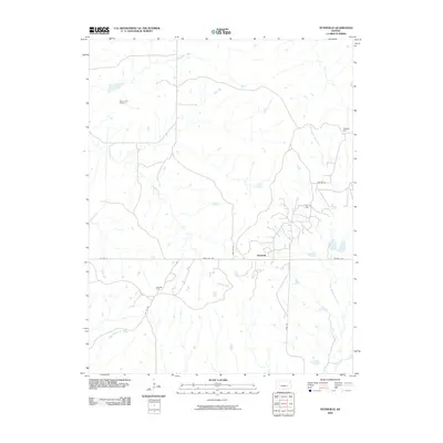
1975 Severy North
Greenwood County, KS
2009 Eureka NE
Greenwood County, KS
2009 Lamont
Greenwood County, KS
2009 Lapland
Greenwood County, KS
2009 Madison SW
Greenwood County, KS
2009 Piedmont NE
Greenwood County, KS
2009 Reece
Greenwood County, KS
2009 Teterville
Greenwood County, KS
2009 Thrall
Greenwood County, KS
2009 Tonovay
Greenwood County, KS
2010 Fall River Lake
Greenwood County, KS
2010 Piedmont NW
Greenwood County, KS
2010 Severy North
Greenwood County, KS
2012 Eureka NE
Greenwood County, KS
2012 Fall River Lake
Greenwood County, KS
2012 Lamont
Greenwood County, KS
2012 Lapland
Greenwood County, KS
2012 Madison SW
Greenwood County, KS
2012 Piedmont NE
Greenwood County, KS
2012 Piedmont NW
Greenwood County, KS
2012 Reece
Greenwood County, KS
2012 Severy North
Greenwood County, KS
2012 Teterville
Greenwood County, KS
2012 Thrall
Greenwood County, KS
2012 Tonovay
Greenwood County, KS
2015 Eureka NE
Greenwood County, KS
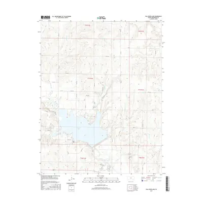
2015 Fall River Lake
Greenwood County, KS
2015 Lamont
Greenwood County, KS
2015 Lapland
Greenwood County, KS
2015 Madison SW
Greenwood County, KS
2015 Piedmont NE
Greenwood County, KS
2015 Piedmont NW
Greenwood County, KS
2015 Reece
Greenwood County, KS
2015 Severy North
Greenwood County, KS
2015 Teterville
Greenwood County, KS
2015 Thrall
Greenwood County, KS
2015 Tonovay
Greenwood County, KS
2018 Eureka NE
Greenwood County, KS
2018 Fall River Lake
Greenwood County, KS
2018 Lamont
Greenwood County, KS
2018 Lapland
Greenwood County, KS
2018 Madison SW
Greenwood County, KS
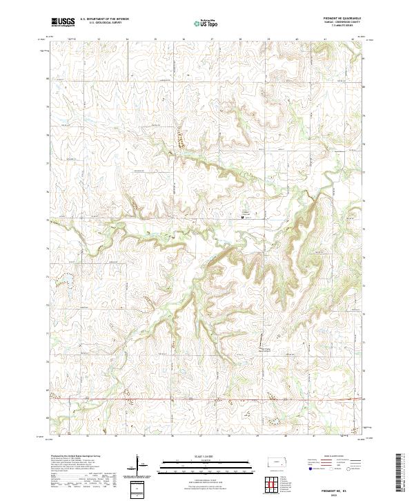
2018 Piedmont NE
Greenwood County, KS
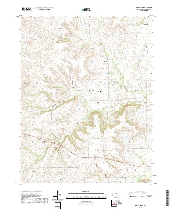
2018 Piedmont NW
Greenwood County, KS
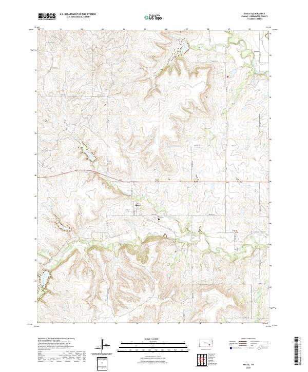
2018 Reece
Greenwood County, KS
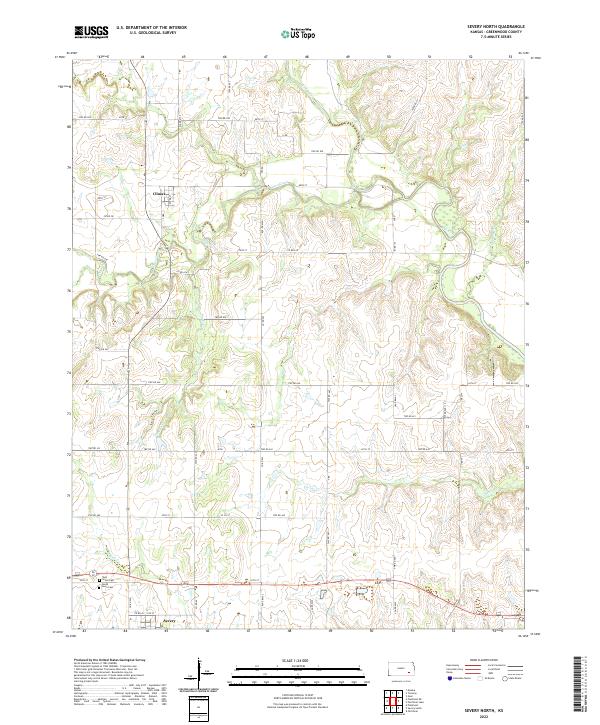
2018 Severy North
Greenwood County, KS
2018 Teterville
Greenwood County, KS
2018 Thrall
Greenwood County, KS
2018 Tonovay
Greenwood County, KS
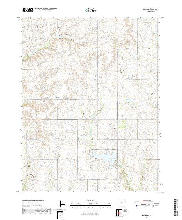
2022 Eureka NE
Greenwood County, KS
2022 Fall River Lake
Greenwood County, KS
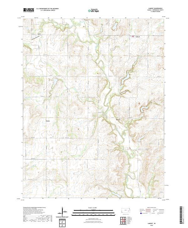
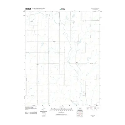
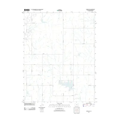
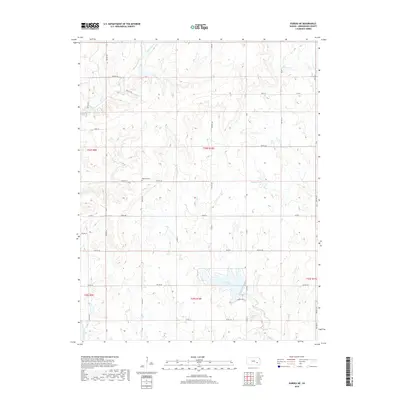
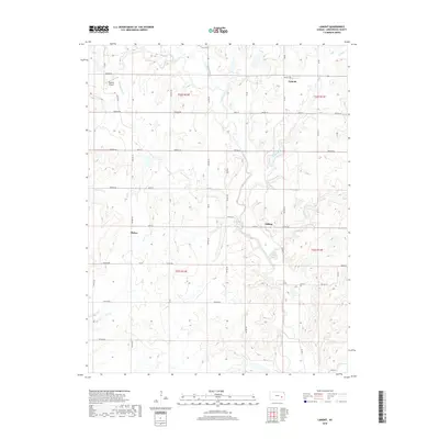
2022 Lamont
Greenwood County, KS
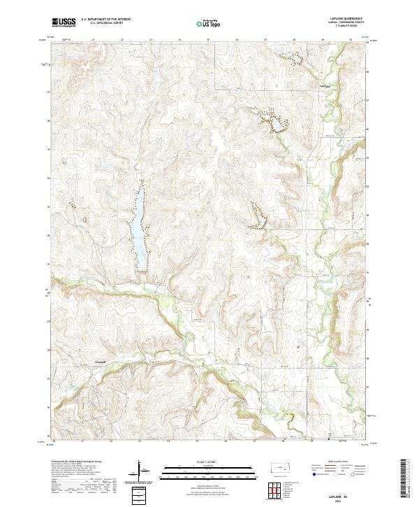
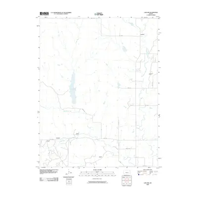
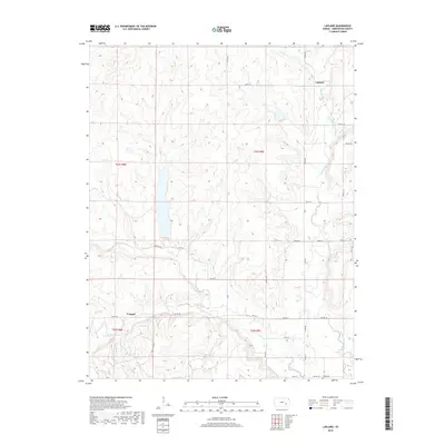
2022 Lapland
Greenwood County, KS
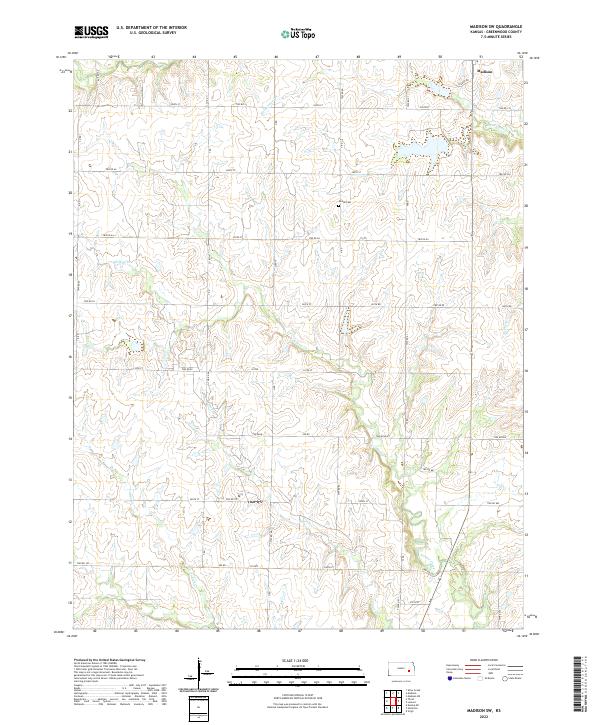
2022 Madison SW
Greenwood County, KS
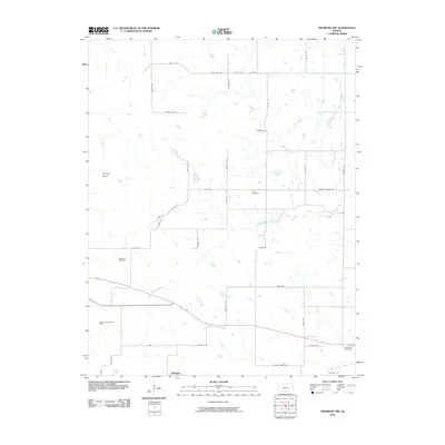
2022 Piedmont NE
Greenwood County, KS
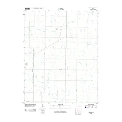
2022 Piedmont NW
Greenwood County, KS
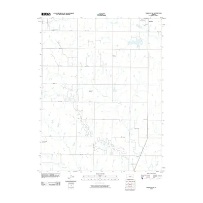
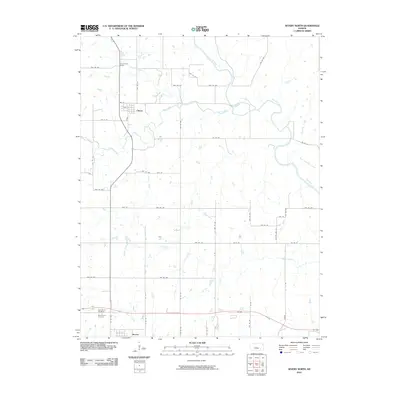
2022 Reece
Greenwood County, KS
2022 Severy North
Greenwood County, KS
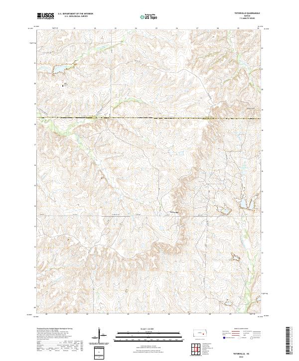
2022 Teterville
Greenwood County, KS
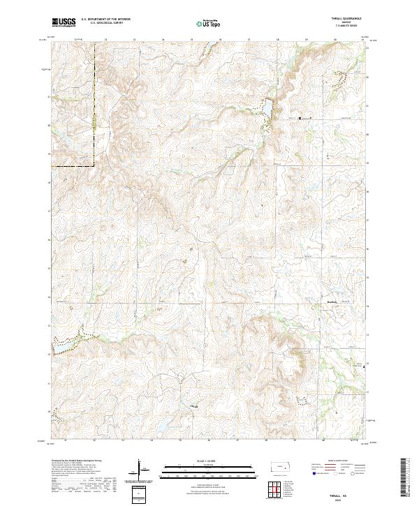
2022 Thrall
Greenwood County, KS
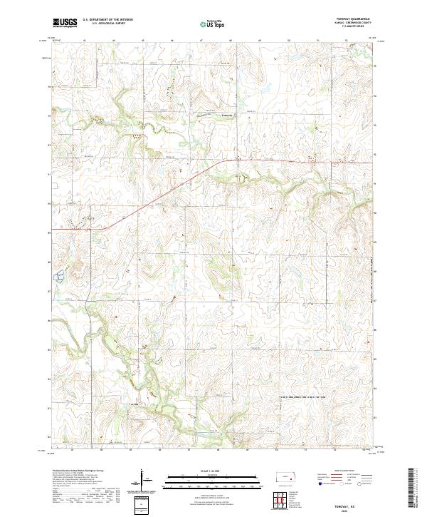
2022 Tonovay
Greenwood County, KS