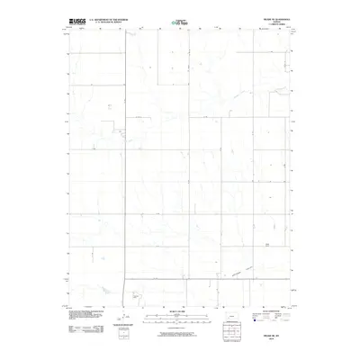
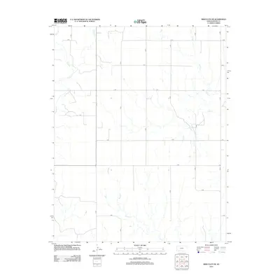
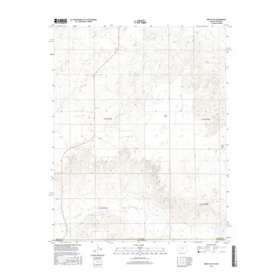
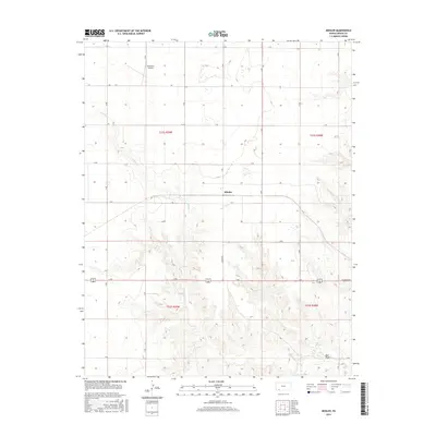
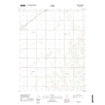
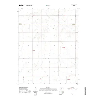
2022 Map of Meade NE
USGS Topo · Published 2022About this map
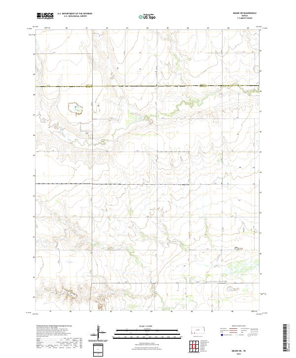
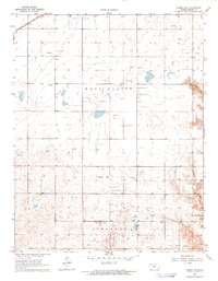
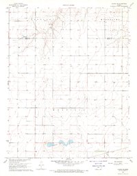
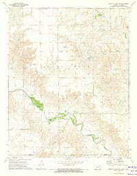
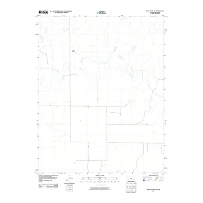
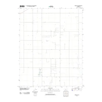
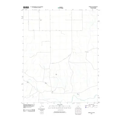
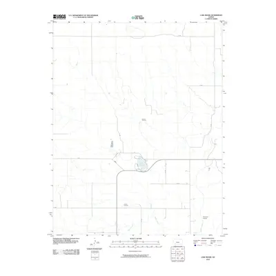
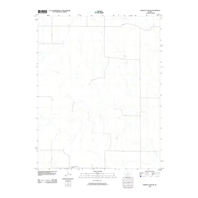
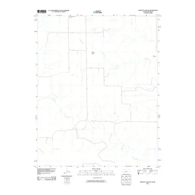
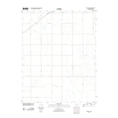
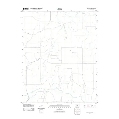
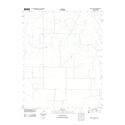
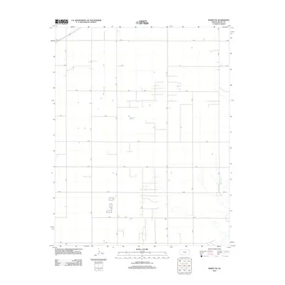
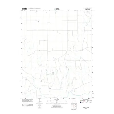
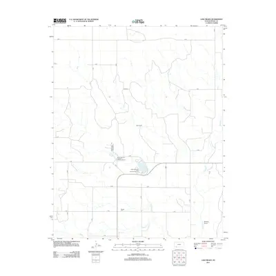
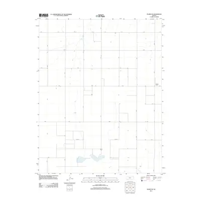
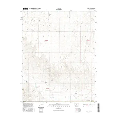
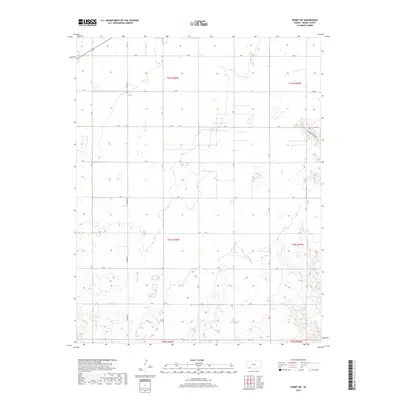
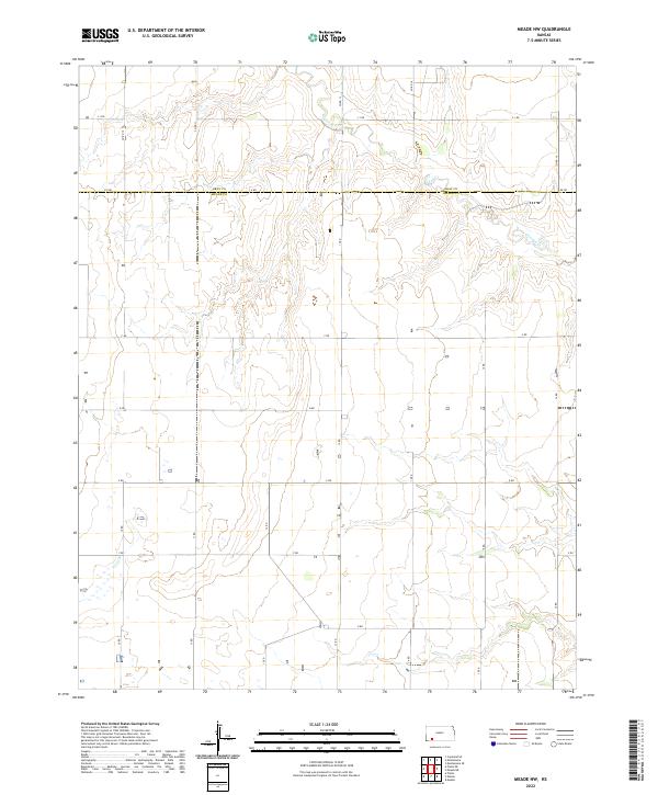
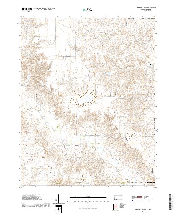
Artesian Valley defines the southern portion of this landscape, a region historically notable for its groundwater resources. The terrain is bisected by the meandering course of Crooked Cr, which creates a winding natural corridor through the structured sections of the High Plains. This 2022 survey captures the intersection of Gray Co and Meade Co, revealing a strictly gridded agricultural landscape defined by a network of rural routes including J J Rd, Kk Rd, and G Rd. The map illustrates the enduring township and range system, showing how survey lines continue to dictate the placement of farmsteads and transport paths in this part of Kansas. Modern land use remains tied to these traditional boundaries, with irrigation patterns and drainage following the subtle contours of the valley floor.
Find a feature on this map
28 named features on this map. Tap any name to fly to it.
Don’t see what you’re looking for? This feature index may not catch every label — zoom into the map to look around manually.
Map Details
Editions of this 2022 Meade NE Map
This is the sole edition of this map. No revisions or reprints were ever made.
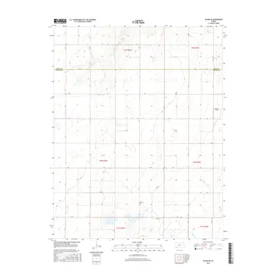
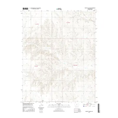
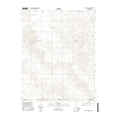
Historical Maps of Gray County Through Time
78 maps found
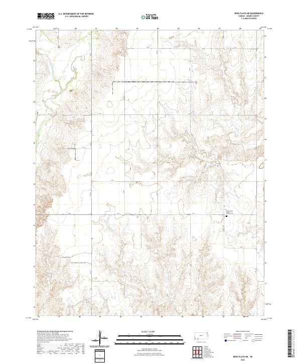
1962 Irish Flats NE
Meade County, KS
1962 Irish Flats SE
Meade County, KS
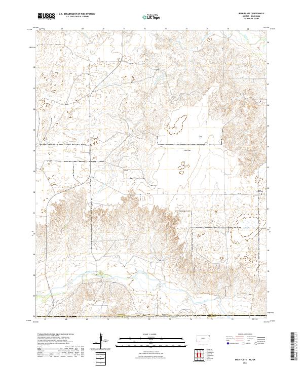
1963 Irish Flats
Meade County, KS
1963 Kismet NE
Meade County, KS
1963 Kismet SE
Meade County, KS

1963 Lake Meade
Meade County, KS
1963 Missler
Meade County, KS
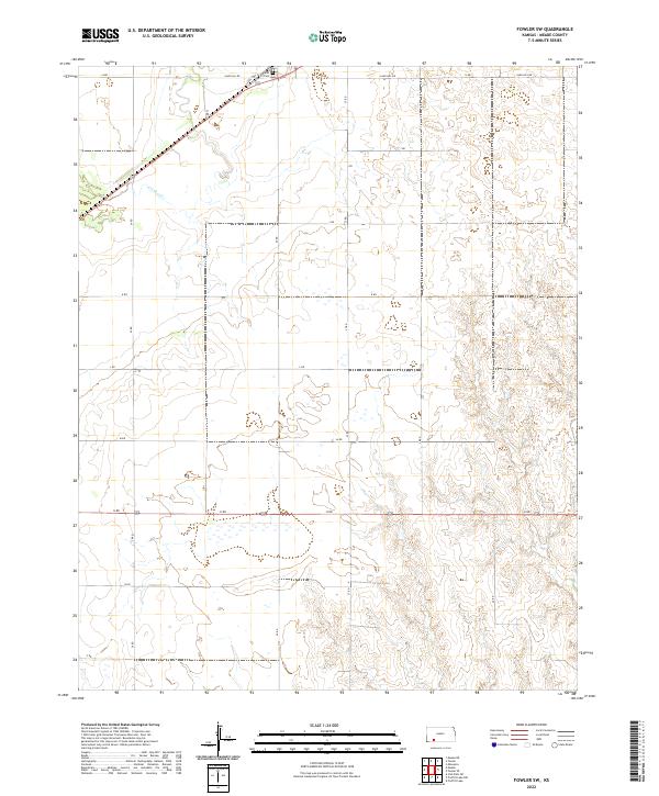
1967 Fowler SW
Meade County, KS
1967 Plains NE
Meade County, KS
1968 Meade NW
Meade County, KS
1969 Meade NE
Meade County, KS
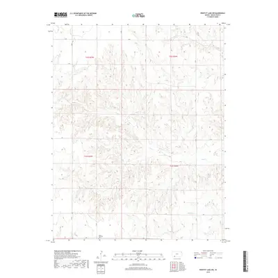
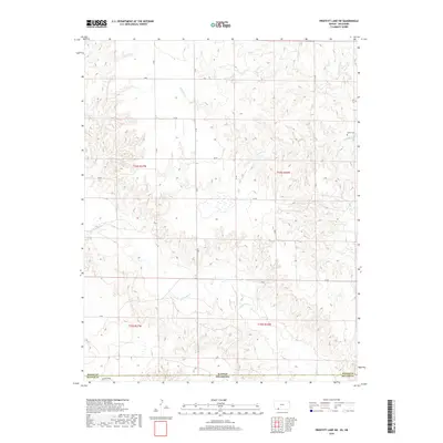
1972 Proffitt Lake NW
Meade County, KS
1972 Proffitt Lake SW
Meade County, KS
2010 Fowler SW
Meade County, KS
2010 Irish Flats
Meade County, KS
2010 Irish Flats NE
Meade County, KS
2010 Irish Flats SE
Meade County, KS
2010 Kismet NE
Meade County, KS
2010 Kismet SE
Meade County, KS
2010 Lake Meade
Meade County, KS
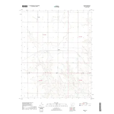
2010 Meade NE
Meade County, KS
2010 Meade NW
Meade County, KS
2010 Missler
Meade County, KS
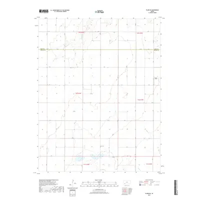
2010 Plains NE
Meade County, KS
2010 Proffitt Lake NW
Meade County, KS
2010 Proffitt Lake SW
Meade County, KS
2012 Fowler SW
Meade County, KS
2012 Irish Flats
Meade County, KS
2012 Irish Flats NE
Meade County, KS
2012 Irish Flats SE
Meade County, KS
2012 Kismet NE
Meade County, KS
2012 Kismet SE
Meade County, KS
2012 Lake Meade
Meade County, KS
2012 Meade NE
Meade County, KS
2012 Meade NW
Meade County, KS
2012 Missler
Meade County, KS
2012 Plains NE
Meade County, KS
2012 Proffitt Lake NW
Meade County, KS
2012 Proffitt Lake SW
Meade County, KS
2016 Fowler SW
Meade County, KS
2016 Irish Flats
Meade County, KS
2016 Irish Flats NE
Meade County, KS
2016 Irish Flats SE
Meade County, KS
2016 Kismet NE
Meade County, KS
2016 Kismet SE
Meade County, KS
2016 Lake Meade
Meade County, KS
2016 Meade NE
Meade County, KS
2016 Meade NW
Meade County, KS
2016 Missler
Meade County, KS
2016 Plains NE
Meade County, KS
2016 Proffitt Lake NW
Meade County, KS
2016 Proffitt Lake SW
Meade County, KS
2018 Fowler SW
Meade County, KS
2018 Irish Flats
Meade County, KS
2018 Irish Flats NE
Meade County, KS
2018 Irish Flats SE
Meade County, KS
2018 Kismet NE
Meade County, KS
2018 Kismet SE
Meade County, KS
2018 Lake Meade
Meade County, KS
2018 Meade NE
Meade County, KS
2018 Meade NW
Meade County, KS
2018 Missler
Meade County, KS
2018 Plains NE
Meade County, KS
2018 Proffitt Lake NW
Meade County, KS
2018 Proffitt Lake SW
Meade County, KS
2022 Fowler SW
Meade County, KS
2022 Irish Flats
Meade County, KS
2022 Irish Flats NE
Meade County, KS
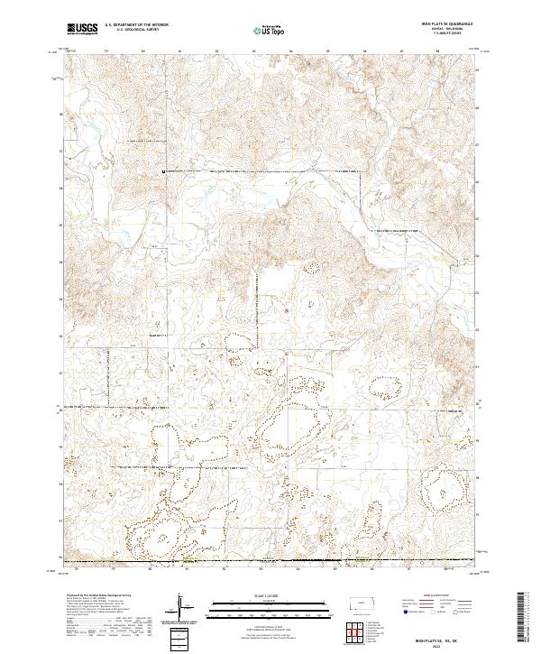
2022 Irish Flats SE
Meade County, KS
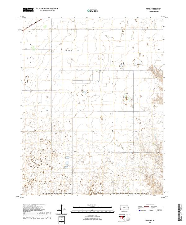
2022 Kismet NE
Meade County, KS
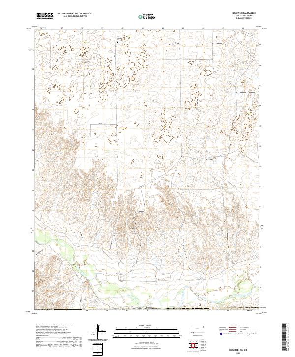
2022 Kismet SE
Meade County, KS
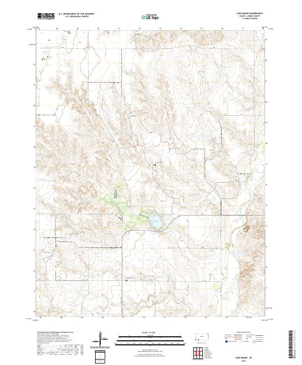
2022 Lake Meade
Meade County, KS
2022 Meade NE
Meade County, KS
2022 Meade NW
Meade County, KS
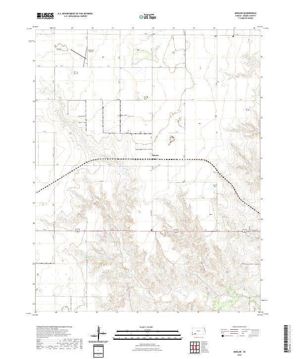
2022 Missler
Meade County, KS
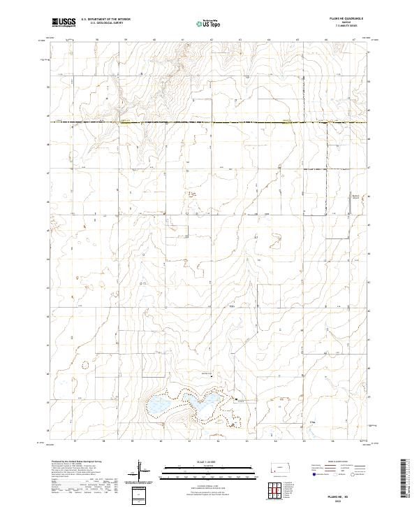
2022 Plains NE
Meade County, KS
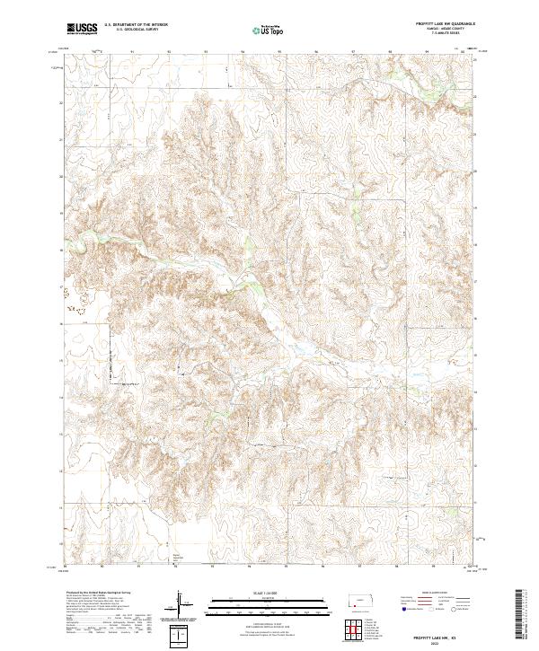
2022 Proffitt Lake NW
Meade County, KS
2022 Proffitt Lake SW
Meade County, KS