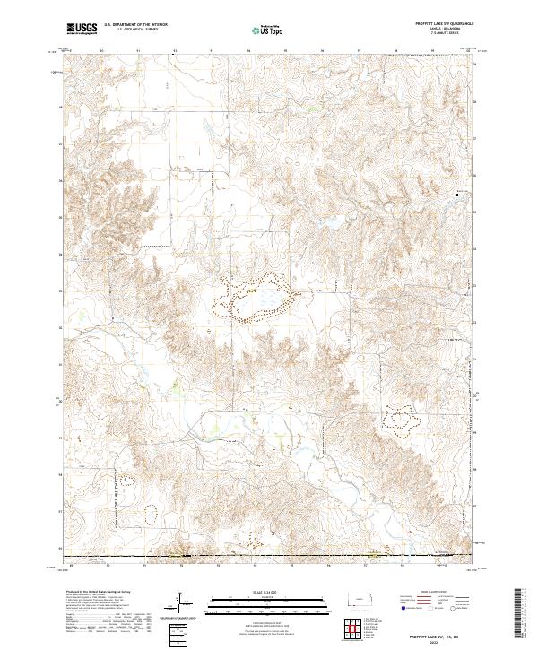
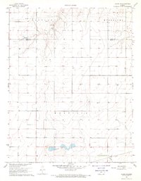
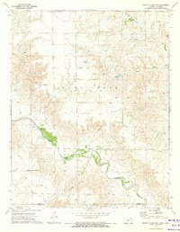
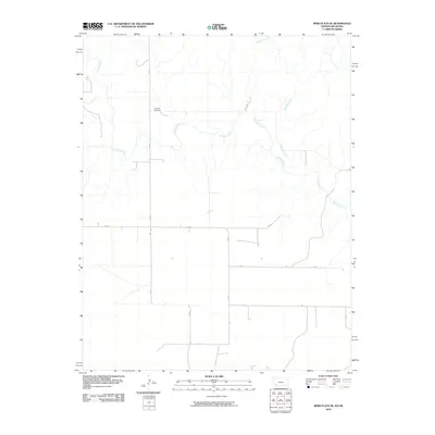
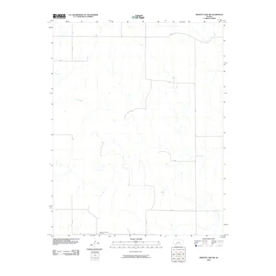
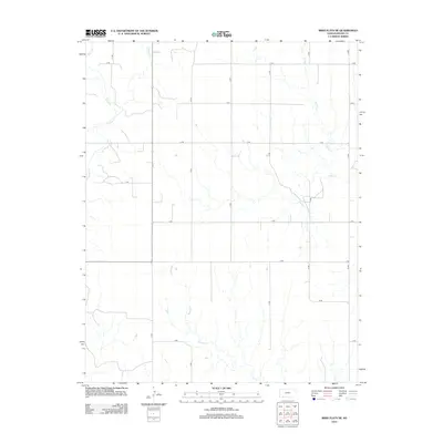
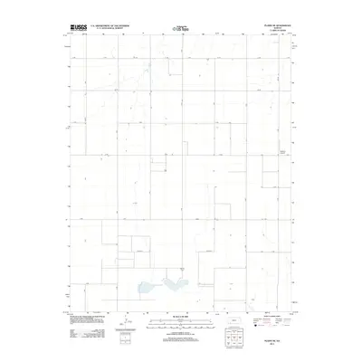
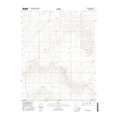
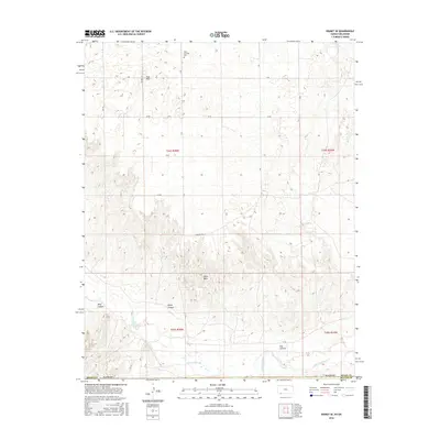
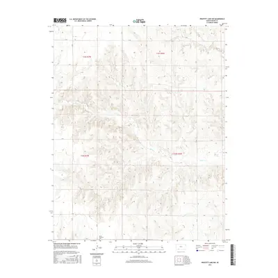
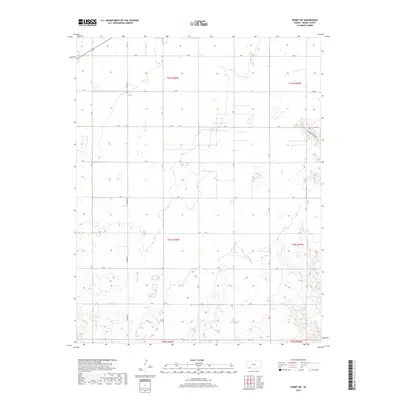
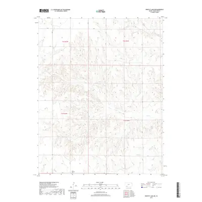
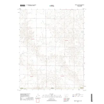
2022 Map of Proffitt Lake SW
USGS Topo · Published 2022About this map
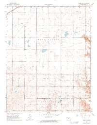
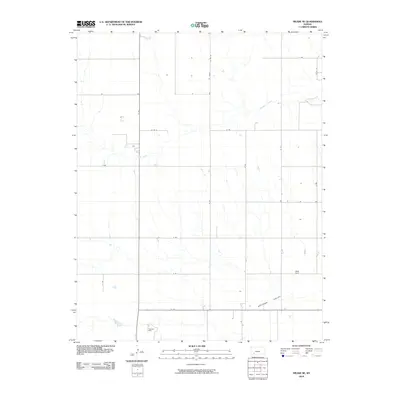
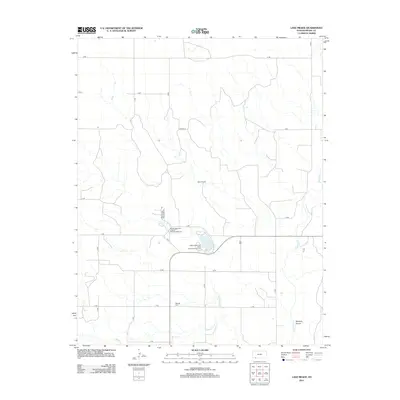
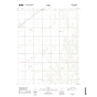
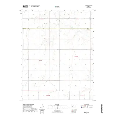
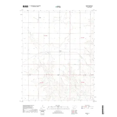
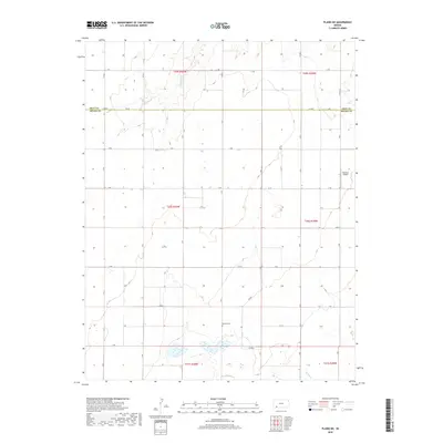
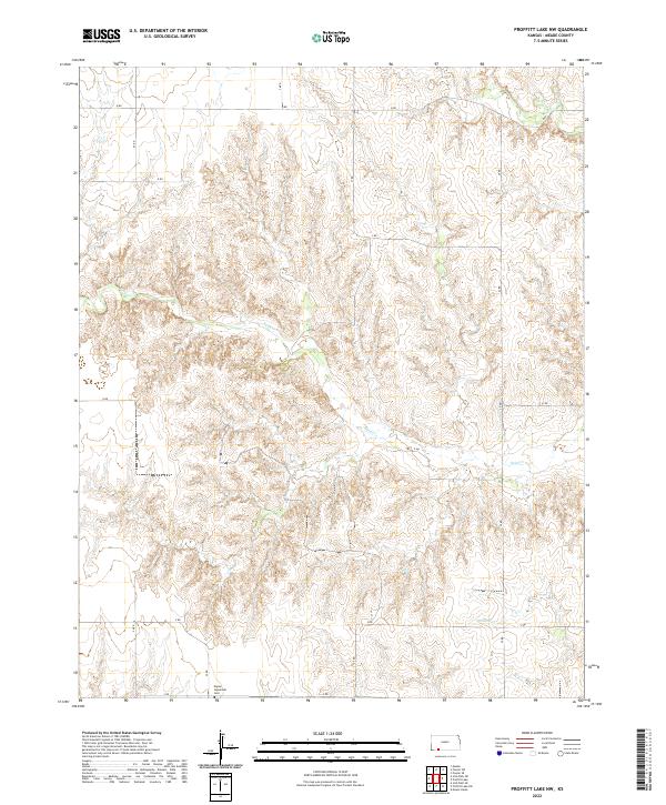
Crooked Cr and Fivemile Cr weave through the drainage basins of this high plains landscape, defining the topography along the Kansas-Oklahoma state line. The survey captures a sparsely populated border region where the transition between Meade County, Kansas, and Beaver County, Oklahoma, is marked by a rigid grid of section lines and gravel routes such as Z Rd and EE Rd. A lone local landmark, Butler Cem, sits near the eastern edge of the quadrangle, serving as a vital point of reference for genealogists tracing families in this remote corner of the Central Plains. The presence of Hollow E0005 in the southern portion of the sheet highlights the seasonal drainage patterns that have shaped the ranching and agricultural development of the region for generations.
Find a feature on this map
23 named features on this map. Tap any name to fly to it.
Don’t see what you’re looking for? This feature index may not catch every label — zoom into the map to look around manually.
Map Details
Editions of this 2022 Proffitt Lake SW Map
This is the sole edition of this map. No revisions or reprints were ever made.
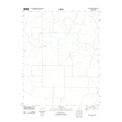
Historical Maps of Beaver County Through Time
78 maps found
1962 Irish Flats NE
Meade County, KS
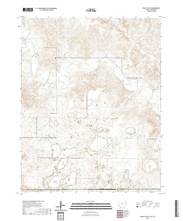
1962 Irish Flats SE
Meade County, KS
1963 Irish Flats
Meade County, KS
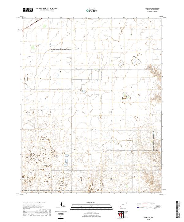
1963 Kismet NE
Meade County, KS
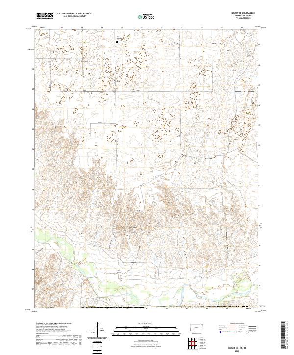
1963 Kismet SE
Meade County, KS

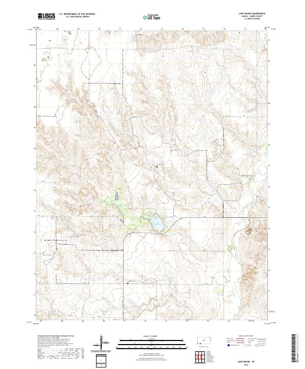
1963 Lake Meade
Meade County, KS
1963 Missler
Meade County, KS
1967 Fowler SW
Meade County, KS
1967 Plains NE
Meade County, KS
1968 Meade NW
Meade County, KS
1969 Meade NE
Meade County, KS
1972 Proffitt Lake NW
Meade County, KS
1972 Proffitt Lake SW
Meade County, KS
2010 Fowler SW
Meade County, KS
2010 Irish Flats
Meade County, KS
2010 Irish Flats NE
Meade County, KS
2010 Irish Flats SE
Meade County, KS
2010 Kismet NE
Meade County, KS
2010 Kismet SE
Meade County, KS
2010 Lake Meade
Meade County, KS
2010 Meade NE
Meade County, KS
2010 Meade NW
Meade County, KS
2010 Missler
Meade County, KS
2010 Plains NE
Meade County, KS
2010 Proffitt Lake NW
Meade County, KS
2010 Proffitt Lake SW
Meade County, KS
2012 Fowler SW
Meade County, KS
2012 Irish Flats
Meade County, KS
2012 Irish Flats NE
Meade County, KS
2012 Irish Flats SE
Meade County, KS
2012 Kismet NE
Meade County, KS
2012 Kismet SE
Meade County, KS
2012 Lake Meade
Meade County, KS
2012 Meade NE
Meade County, KS
2012 Meade NW
Meade County, KS
2012 Missler
Meade County, KS
2012 Plains NE
Meade County, KS
2012 Proffitt Lake NW
Meade County, KS
2012 Proffitt Lake SW
Meade County, KS
2016 Fowler SW
Meade County, KS
2016 Irish Flats
Meade County, KS
2016 Irish Flats NE
Meade County, KS
2016 Irish Flats SE
Meade County, KS
2016 Kismet NE
Meade County, KS
2016 Kismet SE
Meade County, KS
2016 Lake Meade
Meade County, KS
2016 Meade NE
Meade County, KS
2016 Meade NW
Meade County, KS
2016 Missler
Meade County, KS
2016 Plains NE
Meade County, KS
2016 Proffitt Lake NW
Meade County, KS
2016 Proffitt Lake SW
Meade County, KS
2018 Fowler SW
Meade County, KS
2018 Irish Flats
Meade County, KS
2018 Irish Flats NE
Meade County, KS
2018 Irish Flats SE
Meade County, KS
2018 Kismet NE
Meade County, KS
2018 Kismet SE
Meade County, KS
2018 Lake Meade
Meade County, KS
2018 Meade NE
Meade County, KS
2018 Meade NW
Meade County, KS
2018 Missler
Meade County, KS
2018 Plains NE
Meade County, KS
2018 Proffitt Lake NW
Meade County, KS
2018 Proffitt Lake SW
Meade County, KS
2022 Fowler SW
Meade County, KS
2022 Irish Flats
Meade County, KS
2022 Irish Flats NE
Meade County, KS
2022 Irish Flats SE
Meade County, KS
2022 Kismet NE
Meade County, KS
2022 Kismet SE
Meade County, KS
2022 Lake Meade
Meade County, KS
2022 Meade NE
Meade County, KS
2022 Meade NW
Meade County, KS
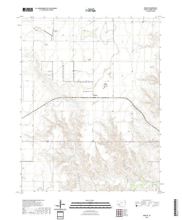
2022 Missler
Meade County, KS
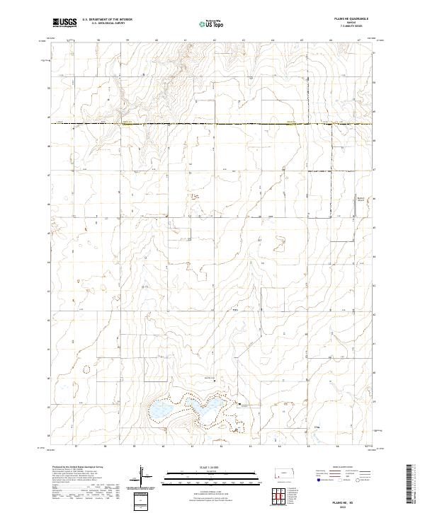
2022 Plains NE
Meade County, KS
2022 Proffitt Lake NW
Meade County, KS
2022 Proffitt Lake SW
Meade County, KS