
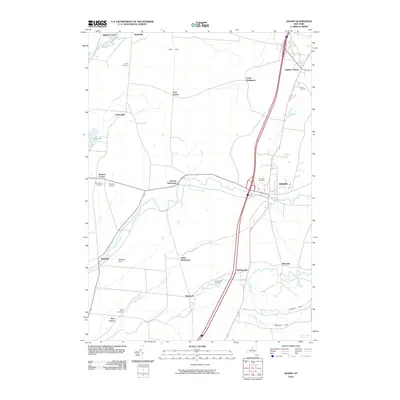
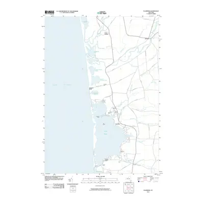
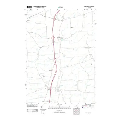
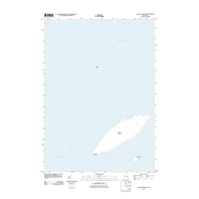
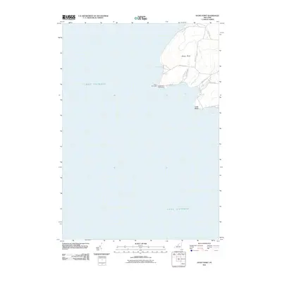
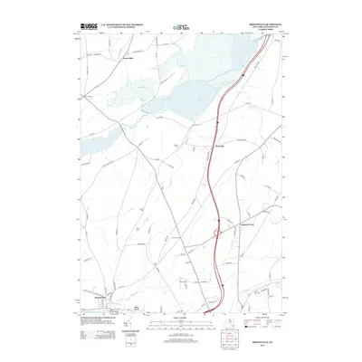
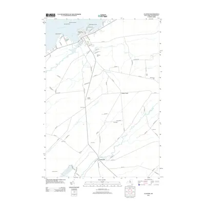
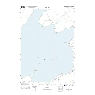
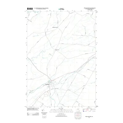
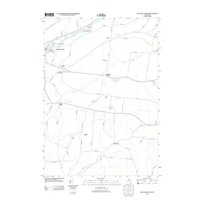
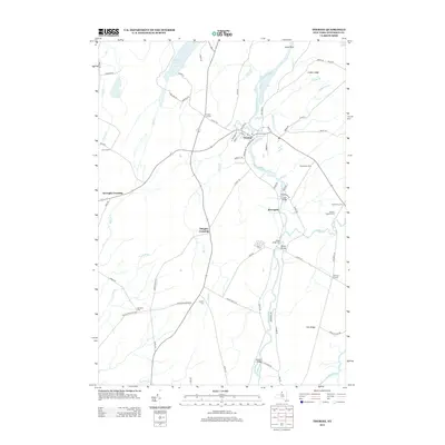
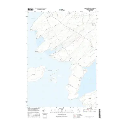
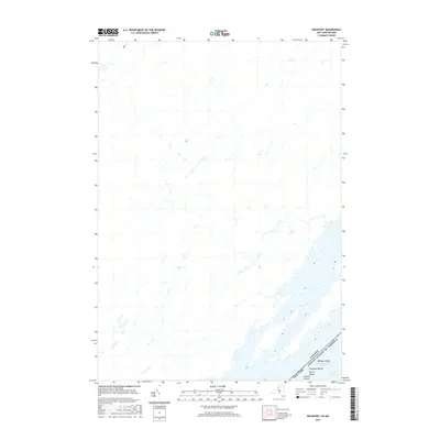
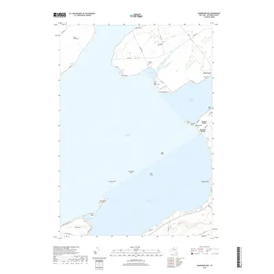
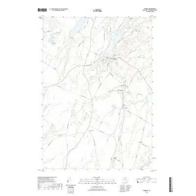
1958 Map of Gananoque
USGS Topo · Published 1961About this map
The St Lawrence River serves as the international boundary on this late 1950s survey, bisecting the famed Thousand Islands region between Ontario and New York. The town of Gananoque dominates the northern shore at the mouth of the Gananoque River, showing a mid-century layout that includes an Armory and a Drive-in Theater. Further inland, the Canadian National railway passes through Gananoque Junction, connecting smaller settlements such as Willetsholme, Maple Grove, and Cheeseborough.
Find a feature on this map
82 named features on this map. Tap any name to fly to it.
Don’t see what you’re looking for? This feature index may not catch every label — zoom into the map to look around manually.
Map Details
Editions of this 1958 Gananoque Map
This is the sole edition of this map. No revisions or reprints were ever made.
Historical Maps of Clayton Through Time
171 maps found

1895 Cape Vincent
Jefferson County, NY

1895 Stony Island
Jefferson County, NY

1900 Clayton
Jefferson County, NY

1903 Clayton
Jefferson County, NY

1903 Grindstone
Jefferson County, NY

1903 Theresa
Jefferson County, NY

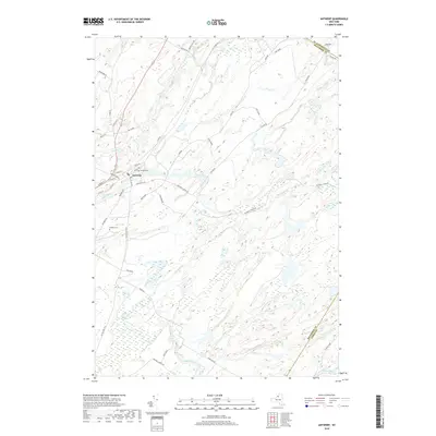
1911 Antwerp
Jefferson County, NY

1942 Cape Vincent North
Jefferson County, NY

1942 Cape Vincent South
Jefferson County, NY

1942 Clayton
Jefferson County, NY

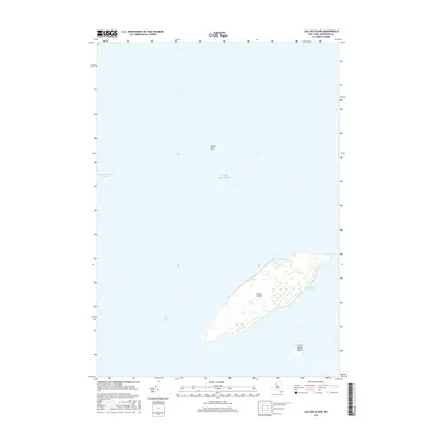
1942 Galloo Island
Jefferson County, NY

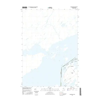
1942 Henderson Bay
Jefferson County, NY

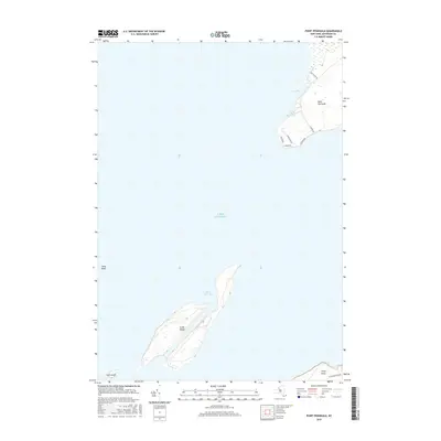
1942 Point Peninsula
Jefferson County, NY

1942 Sandy Creek
Jefferson County, NY

1942 Sawmill Bay
Jefferson County, NY

1942 Stony Point
Jefferson County, NY

1943 Adams
Jefferson County, NY

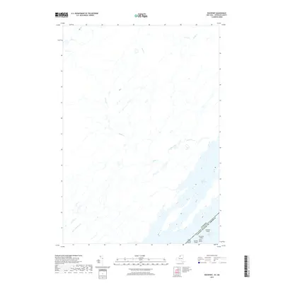
1943 Brownville
Jefferson County, NY

1943 Clayton
Jefferson County, NY

1943 Ellisburg
Jefferson County, NY

1943 Grindstone
Jefferson County, NY

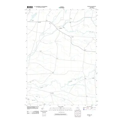
1943 Henderson
Jefferson County, NY

1943 Lafargeville
Jefferson County, NY

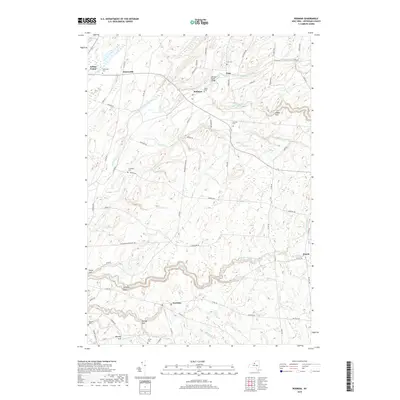
1943 Rodman
Jefferson County, NY

1943 Sandy Creek
Jefferson County, NY

1943 South Rutland
Jefferson County, NY

1944 Cape Vincent
Jefferson County, NY

1948 Theresa
Jefferson County, NY

1948 Theresa
Jefferson County, NY

1949 Antwerp
Jefferson County, NY

1949 Antwerp
Jefferson County, NY

1949 North Wilna
Jefferson County, NY

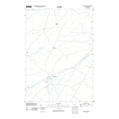
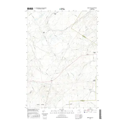
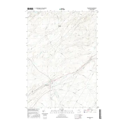
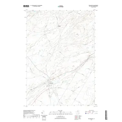
1949 Philadelphia
Jefferson County, NY

1951 Antwerp
Jefferson County, NY

1951 Muskalonge Lake
Jefferson County, NY

1951 North Wilna
Jefferson County, NY

1951 Philadelphia
Jefferson County, NY

1954 Kingston
Jefferson County, NY

1958 Brownville
Jefferson County, NY

1958 Cape Vincent North
Jefferson County, NY

1958 Cape Vincent South
Jefferson County, NY

1958 Clayton
Jefferson County, NY

1958 Ellisburg
Jefferson County, NY

1958 Galloo Island
Jefferson County, NY
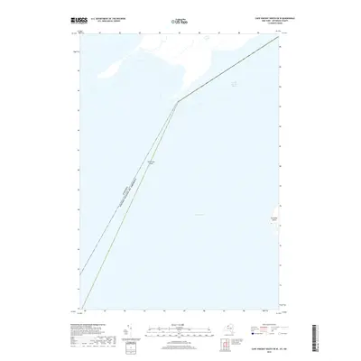
1958 Gananoque
Jefferson County, NY

1958 Point Peninsula
Jefferson County, NY

1958 Saint Lawrence
Jefferson County, NY

1958 Sandy Creek
Jefferson County, NY

1958 Stony Point
Jefferson County, NY

1958 Theresa
Jefferson County, NY

1959 Adams
Jefferson County, NY

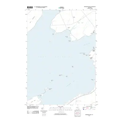
1959 Henderson Bay
Jefferson County, NY

1959 Henderson
Jefferson County, NY

1959 Rodman
Jefferson County, NY

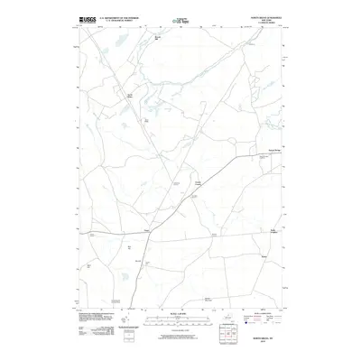
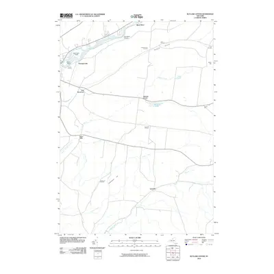
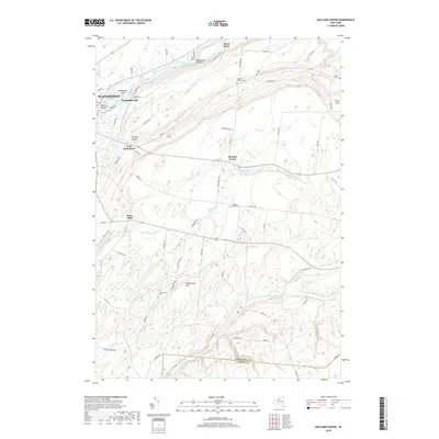
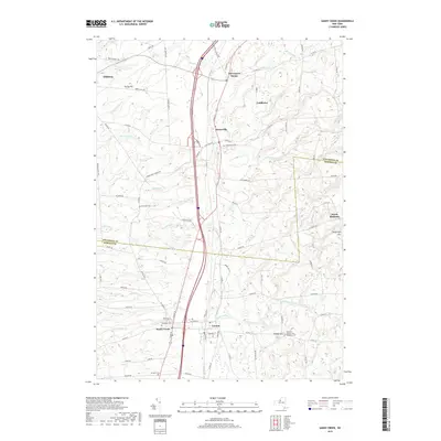
1959 Rutland Center
Jefferson County, NY

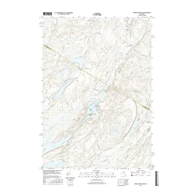
1961 Muskellunge Lake
Jefferson County, NY

1980 Henderson Bay
Jefferson County, NY

1985 Cape Vincent
Jefferson County, NY
2010 Adams
Jefferson County, NY
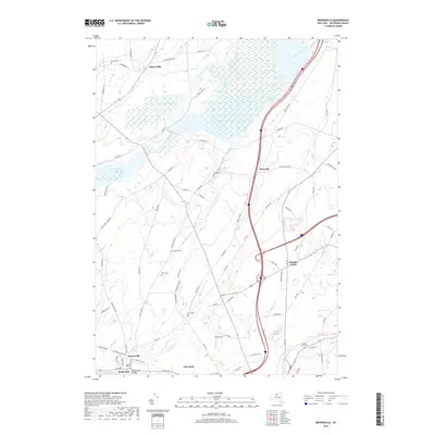
2010 Antwerp
Jefferson County, NY
2010 Cape Vincent South
Jefferson County, NY
2010 Clayton
Jefferson County, NY
2010 Ellisburg
Jefferson County, NY
2010 Henderson Bay
Jefferson County, NY
2010 Henderson
Jefferson County, NY
2010 Muskellunge Lake
Jefferson County, NY
2010 North Wilna
Jefferson County, NY
2010 Philadelphia
Jefferson County, NY
2010 Rodman
Jefferson County, NY
2010 Rutland Center
Jefferson County, NY
2010 Sandy Creek
Jefferson County, NY
2011 Brownville
Jefferson County, NY
2011 Cape Vincent North
Jefferson County, NY
2011 Cape Vincent South OE W
Jefferson County, NY
2011 Galloo Island
Jefferson County, NY
2011 Grindstone Island
Jefferson County, NY
2011 Point Peninsula
Jefferson County, NY
2011 Saint Lawrence
Jefferson County, NY
2011 Stony Point
Jefferson County, NY
2011 Theresa
Jefferson County, NY
2013 Adams
Jefferson County, NY
2013 Antwerp
Jefferson County, NY
2013 Brownville
Jefferson County, NY
2013 Cape Vincent North
Jefferson County, NY
2013 Cape Vincent South
Jefferson County, NY
2013 Cape Vincent South OE W
Jefferson County, NY
2013 Clayton
Jefferson County, NY
2013 Ellisburg
Jefferson County, NY
2013 Galloo Island
Jefferson County, NY
2013 Grindstone Island
Jefferson County, NY
2013 Henderson Bay
Jefferson County, NY
2013 Henderson
Jefferson County, NY
2013 Muskellunge Lake
Jefferson County, NY
2013 North Wilna
Jefferson County, NY
2013 Philadelphia
Jefferson County, NY
2013 Point Peninsula
Jefferson County, NY
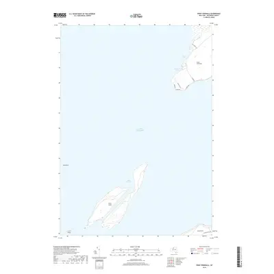
2013 Rockport
Jefferson County, NY
2013 Rodman
Jefferson County, NY
2013 Rutland Center
Jefferson County, NY
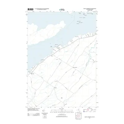
2013 Saint Lawrence
Jefferson County, NY
2013 Sandy Creek
Jefferson County, NY
2013 Stony Point
Jefferson County, NY
2013 Theresa
Jefferson County, NY
2016 Adams
Jefferson County, NY

2016 Antwerp
Jefferson County, NY
2016 Brownville
Jefferson County, NY
2016 Cape Vincent North
Jefferson County, NY
2016 Cape Vincent South
Jefferson County, NY
2016 Cape Vincent South OE W
Jefferson County, NY
2016 Clayton
Jefferson County, NY
2016 Ellisburg
Jefferson County, NY
2016 Galloo Island
Jefferson County, NY
2016 Grindstone Island
Jefferson County, NY
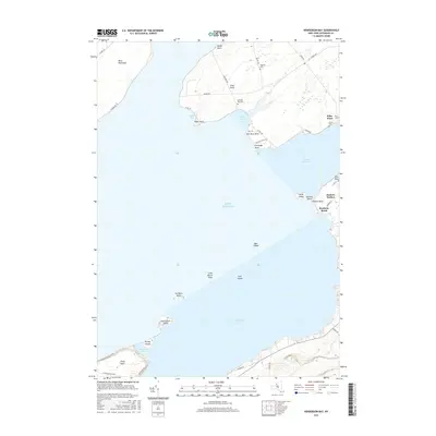
2016 Henderson Bay
Jefferson County, NY
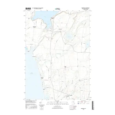
2016 Henderson
Jefferson County, NY
2016 Muskellunge Lake
Jefferson County, NY
2016 North Wilna
Jefferson County, NY
2016 Philadelphia
Jefferson County, NY
2016 Point Peninsula
Jefferson County, NY
2016 Rockport
Jefferson County, NY
2016 Rodman
Jefferson County, NY
2016 Rutland Center
Jefferson County, NY
2016 Saint Lawrence
Jefferson County, NY
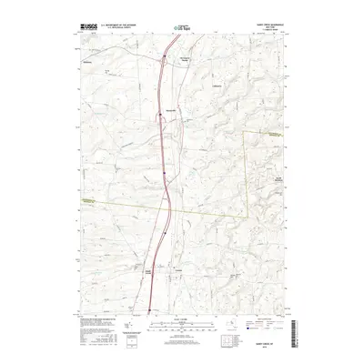
2016 Sandy Creek
Jefferson County, NY
2016 Stony Point
Jefferson County, NY
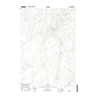
2016 Theresa
Jefferson County, NY
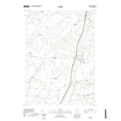
2019 Adams
Jefferson County, NY
2019 Antwerp
Jefferson County, NY
2019 Brownville
Jefferson County, NY
2019 Cape Vincent North
Jefferson County, NY
2019 Cape Vincent South
Jefferson County, NY
2019 Cape Vincent South OE W
Jefferson County, NY
2019 Clayton
Jefferson County, NY
2019 Ellisburg
Jefferson County, NY
2019 Galloo Island
Jefferson County, NY
2019 Henderson Bay
Jefferson County, NY
2019 Henderson
Jefferson County, NY
2019 Muskellunge Lake
Jefferson County, NY
2019 North Wilna
Jefferson County, NY
2019 Philadelphia
Jefferson County, NY
2019 Point Peninsula
Jefferson County, NY
2019 Rockport
Jefferson County, NY
2019 Rodman
Jefferson County, NY
2019 Rutland Center
Jefferson County, NY
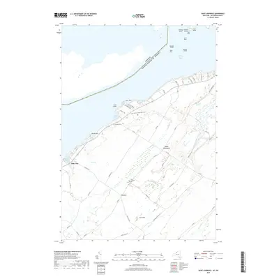
2019 Saint Lawrence
Jefferson County, NY
2019 Sandy Creek
Jefferson County, NY
2019 Stony Point
Jefferson County, NY
2019 Theresa
Jefferson County, NY

2023 Adams
Jefferson County, NY

2023 Antwerp
Jefferson County, NY

2023 Brownville
Jefferson County, NY

2023 Cape Vincent North
Jefferson County, NY

2023 Cape Vincent South
Jefferson County, NY

2023 Cape Vincent South OE W
Jefferson County, NY

2023 Clayton
Jefferson County, NY

2023 Ellisburg
Jefferson County, NY

2023 Galloo Island
Jefferson County, NY

2023 Grindstone Island
Jefferson County, NY

2023 Henderson Bay
Jefferson County, NY

2023 Henderson
Jefferson County, NY

2023 Muskellunge Lake
Jefferson County, NY

2023 North Wilna
Jefferson County, NY

2023 Philadelphia
Jefferson County, NY

2023 Point Peninsula
Jefferson County, NY

2023 Rockport
Jefferson County, NY

2023 Rodman
Jefferson County, NY

2023 Rutland Center
Jefferson County, NY

2023 Saint Lawrence
Jefferson County, NY

2023 Sandy Creek
Jefferson County, NY

2023 Stony Point
Jefferson County, NY

2023 Theresa
Jefferson County, NY