
1964 Map of Mc Kenna Peak
USGS Topo · Published 1968About this map
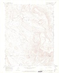
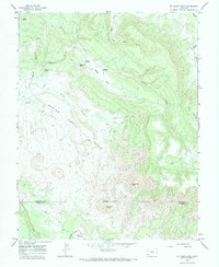
Bassinet Homestead and the Heldman Homestead sit as isolated outposts in this 1964 topographic study of the high canyon country along the San Miguel and Dolores County line. The landscape is dominated by the massive rise of McKenna Peak and the surrounding Spring Creek Basin, where the drainage network flows into the aptly named Disappointment Creek. Evidence of early 20th-century water management is visible in the network of irrigation works including Custer Ditch, Desert Claim Ditch, and Custer Dam, supporting life in an arid region defined by deep draws like Pony Draw and Cocklebur Draw. This map records a time when ranching and land claims relied on these fragile water sources and remote Jeep Trails to navigate the plateau country between Bassinet Point and Brumley Point.
Find a feature on this map
26 named features on this map. Tap any name to fly to it.
Don’t see what you’re looking for? This feature index may not catch every label — zoom into the map to look around manually.
Map Details
Editions of this 1964 Mc Kenna Peak Map
3 editions found
Other maps of this area

1916 · Paradox Valley
USGS Topo · 1:125,000

1922 · Paradox Valley
USGS Topo · 1:125,000

1948 · Gypsum Gap
USGS Topo · 1:24,000

1949 · Gypsum Gap
USGS Topo · 1:24,000

1956 · Cortez
USGS Topo · 1:250,000

1956 · Moab
USGS Topo · 1:250,000

1958 · Cortez
USGS Topo · 1:250,000

1959 · Cortez
USGS Topo · 1:250,000

1959 · Moab
USGS Topo · 1:250,000

1960 · Moab
USGS Topo · 1:250,000