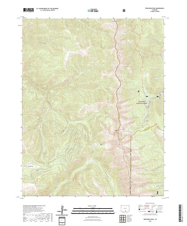
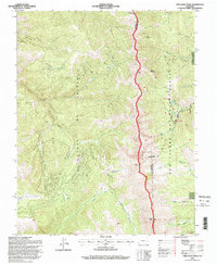
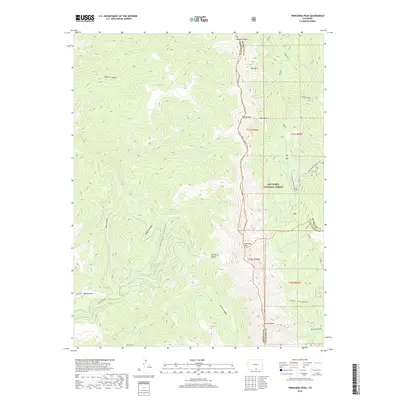
2022 Map of Trinchera Peak
USGS Topo · Published 2022About this map
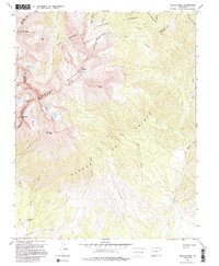
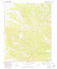
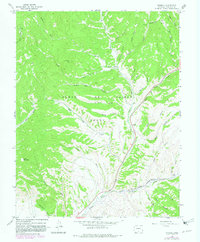
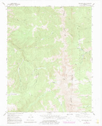
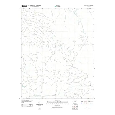
Trinchera Peak and the high ridges of the Sangre de Cristo Mountains form a dramatic natural boundary where the borders of Costilla, Huerfano, and Las Animas counties meet. This high-altitude landscape is defined by deep glacial features such as Beccerro Basin and Big Meadow, and a network of drainages including Trinchera Cr and El Poso Cr. The map details the transition between protected lands, specifically the Sangre De Cristo Conservation Area and the San Isabel National Forest. Local navigation relies on established routes through the steep terrain, such as the Baker Creek Trl and Blue Bear Road Trl, which connect various alpine water bodies like Wolf Lake and Blue Lakes. The presence of several 12,000-plus foot summits, including Cuatro Peak and Napoleon Peak, illustrates the formidable geography of this portion of southern Colorado.
Find a feature on this map
40 named features on this map. Tap any name to fly to it.
Don’t see what you’re looking for? This feature index may not catch every label — zoom into the map to look around manually.
Map Details
Editions of this 2022 Trinchera Peak Map
This is the sole edition of this map. No revisions or reprints were ever made.
Historical Maps of Las Animas County Through Time
106 maps found
1963 Mc Carty Park
Costilla County, CO
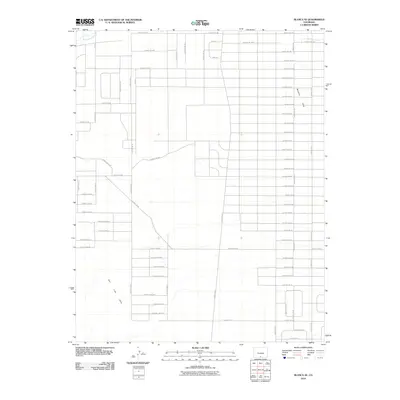
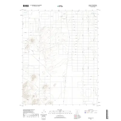
1965 Blanca SE
Costilla County, CO
1965 Lasauses
Costilla County, CO
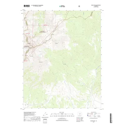
1967 Blanca Peak
Costilla County, CO
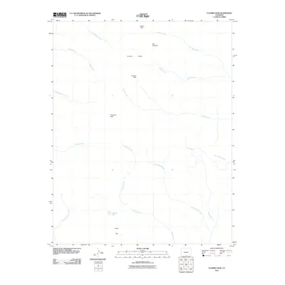
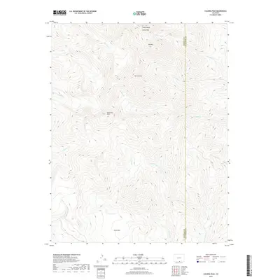
1967 Culebra Peak
Costilla County, CO
1967 El Valle Creek
Costilla County, CO
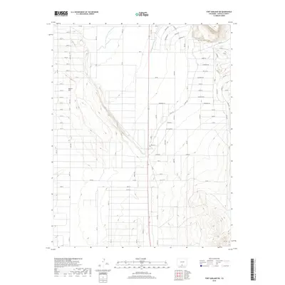
1967 Fort Garland SW
Costilla County, CO
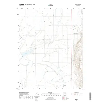
1967 Garcia
Costilla County, CO
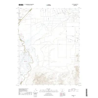
1967 La Valley
Costilla County, CO
1967 Mesito Reservoir
Costilla County, CO
1967 Ojito Peak
Costilla County, CO
1967 Russell
Costilla County, CO
1967 Sanchez Reservoir
Costilla County, CO
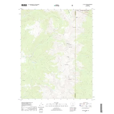
1967 Sky Valley Ranch
Costilla County, CO
1967 Taylor Ranch
Costilla County, CO
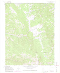
1967 Trinchera Peak
Costilla County, CO
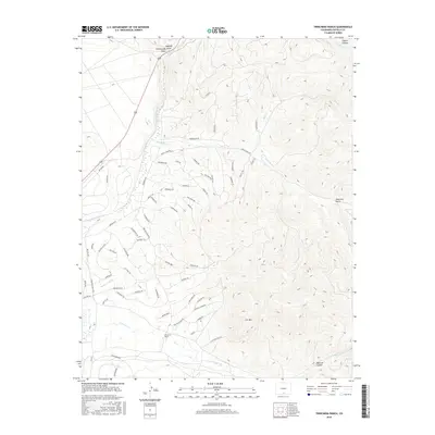
1967 Trinchera Ranch
Costilla County, CO
1994 El Valle Creek
Costilla County, CO
1994 Mc Carty Park
Costilla County, CO
1994 Trinchera Peak
Costilla County, CO
2001 Blanca Peak
Costilla County, CO
2010 Blanca SE
Costilla County, CO
2010 Culebra Peak
Costilla County, CO
2010 Fort Garland SW
Costilla County, CO
2010 Garcia
Costilla County, CO
2010 Lasauses
Costilla County, CO
2010 La Valley
Costilla County, CO
2010 Mesito Reservoir
Costilla County, CO
2010 Ojito Peak
Costilla County, CO
2010 Russell
Costilla County, CO
2010 Sanchez Reservoir
Costilla County, CO
2010 Sky Valley Ranch
Costilla County, CO
2010 Taylor Ranch
Costilla County, CO
2010 Trinchera Ranch
Costilla County, CO
2011 Blanca Peak
Costilla County, CO
2011 El Valle Creek
Costilla County, CO
2011 McCarty Park
Costilla County, CO
2011 Trinchera Peak
Costilla County, CO
2013 Blanca Peak
Costilla County, CO
2013 Blanca SE
Costilla County, CO
2013 Culebra Peak
Costilla County, CO
2013 El Valle Creek
Costilla County, CO
2013 Fort Garland SW
Costilla County, CO
2013 Garcia
Costilla County, CO
2013 Lasauses
Costilla County, CO
2013 La Valley
Costilla County, CO
2013 McCarty Park
Costilla County, CO
2013 Mesito Reservoir
Costilla County, CO
2013 Ojito Peak
Costilla County, CO
2013 Russell
Costilla County, CO
2013 Sanchez Reservoir
Costilla County, CO
2013 Sky Valley Ranch
Costilla County, CO
2013 Taylor Ranch
Costilla County, CO
2013 Trinchera Peak
Costilla County, CO
2013 Trinchera Ranch
Costilla County, CO
2016 Blanca Peak
Costilla County, CO
2016 Blanca SE
Costilla County, CO
2016 Culebra Peak
Costilla County, CO
2016 El Valle Creek
Costilla County, CO
2016 Fort Garland SW
Costilla County, CO
2016 Garcia
Costilla County, CO
2016 Lasauses
Costilla County, CO
2016 La Valley
Costilla County, CO
2016 McCarty Park
Costilla County, CO
2016 Mesito Reservoir
Costilla County, CO
2016 Ojito Peak
Costilla County, CO
2016 Russell
Costilla County, CO
2016 Sanchez Reservoir
Costilla County, CO
2016 Sky Valley Ranch
Costilla County, CO
2016 Taylor Ranch
Costilla County, CO
2016 Trinchera Peak
Costilla County, CO
2016 Trinchera Ranch
Costilla County, CO
2019 Blanca Peak
Costilla County, CO
2019 Blanca SE
Costilla County, CO
2019 Culebra Peak
Costilla County, CO
2019 El Valle Creek
Costilla County, CO
2019 Fort Garland SW
Costilla County, CO
2019 Garcia
Costilla County, CO
2019 Lasauses
Costilla County, CO
2019 La Valley
Costilla County, CO
2019 McCarty Park
Costilla County, CO
2019 Mesito Reservoir
Costilla County, CO
2019 Ojito Peak
Costilla County, CO
2019 Russell
Costilla County, CO
2019 Sanchez Reservoir
Costilla County, CO
2019 Sky Valley Ranch
Costilla County, CO
2019 Taylor Ranch
Costilla County, CO
2019 Trinchera Peak
Costilla County, CO
2019 Trinchera Ranch
Costilla County, CO
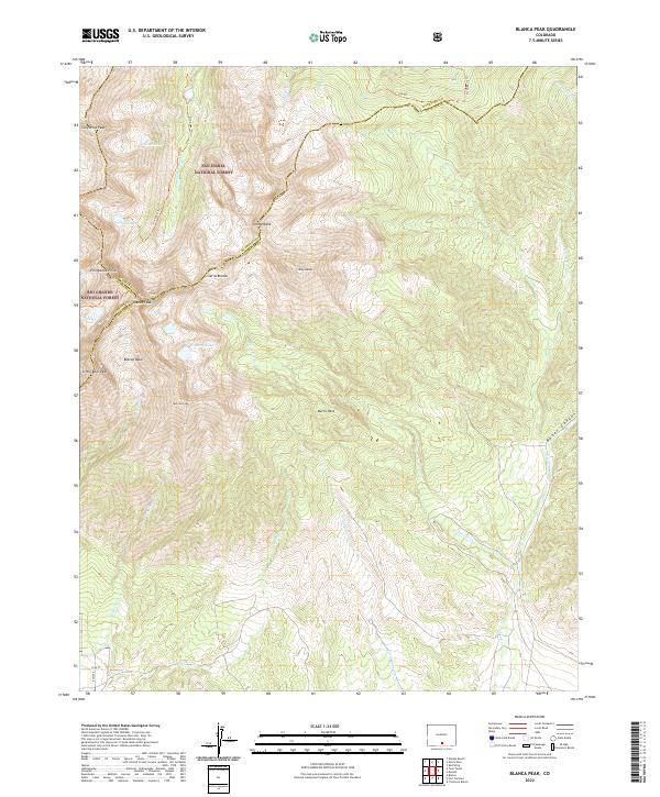
2022 Blanca Peak
Costilla County, CO
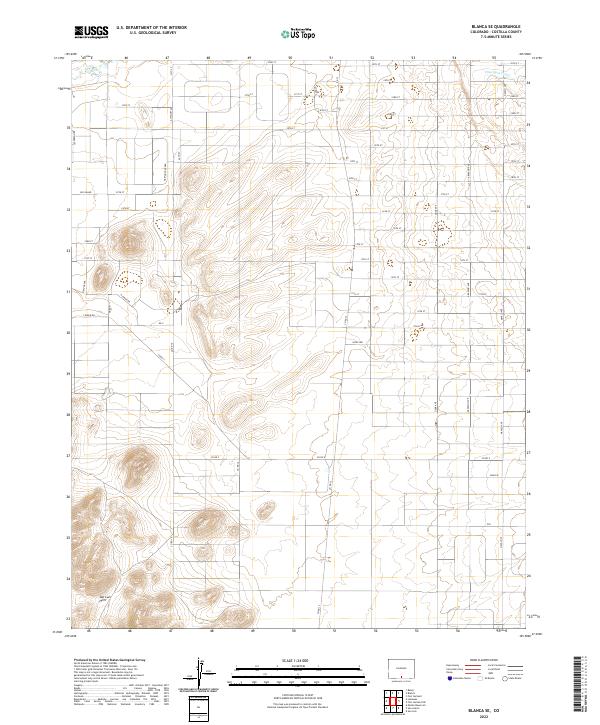
2022 Blanca SE
Costilla County, CO
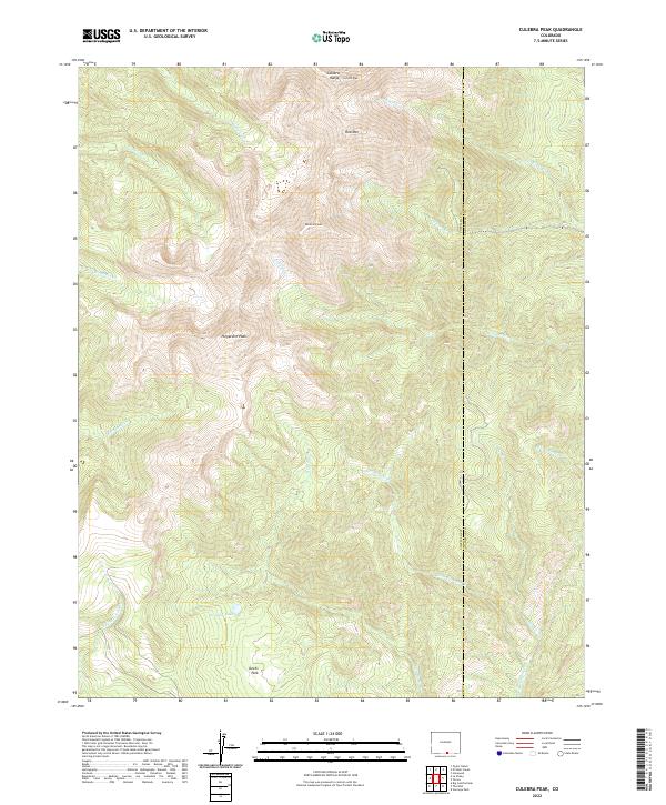
2022 Culebra Peak
Costilla County, CO
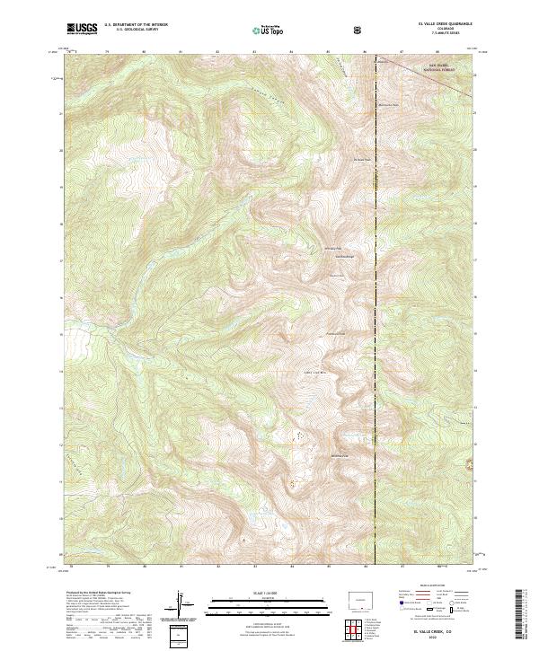
2022 El Valle Creek
Costilla County, CO
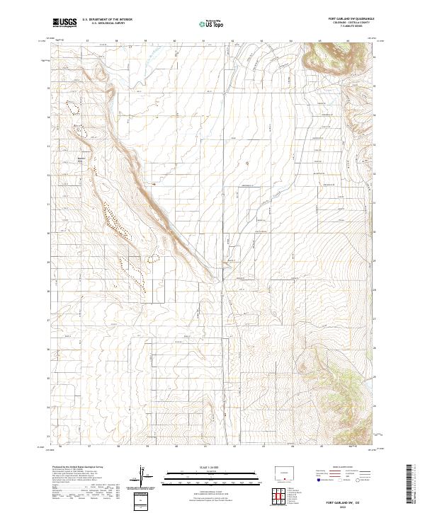
2022 Fort Garland SW
Costilla County, CO
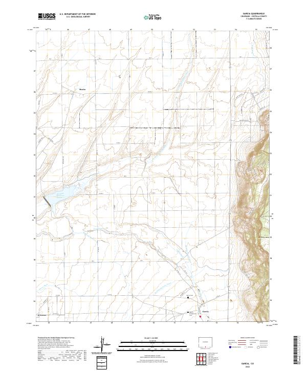
2022 Garcia
Costilla County, CO
2022 Lasauses
Costilla County, CO
2022 La Valley
Costilla County, CO
2022 McCarty Park
Costilla County, CO
2022 Mesito Reservoir
Costilla County, CO
2022 Ojito Peak
Costilla County, CO
2022 Russell
Costilla County, CO
2022 Sanchez Reservoir
Costilla County, CO
2022 Sky Valley Ranch
Costilla County, CO
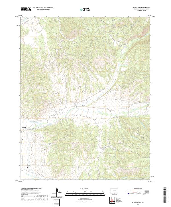
2022 Taylor Ranch
Costilla County, CO
2022 Trinchera Peak
Costilla County, CO
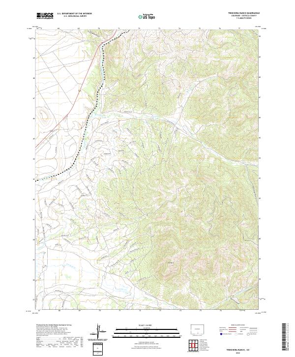
2022 Trinchera Ranch
Costilla County, CO