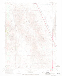
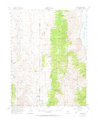
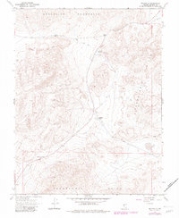
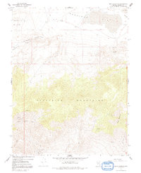
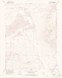
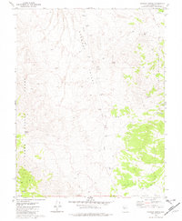
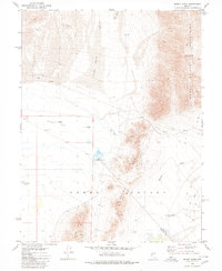
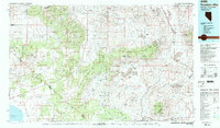
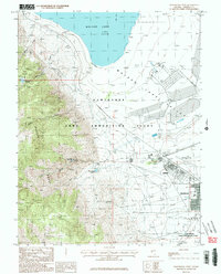
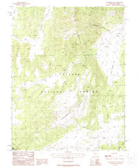
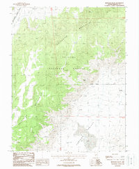
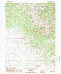
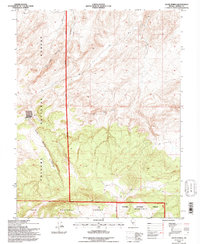
1967 Map of Mina NW
USGS Topo · Published 1969This historical map portrays the area of Mina NW in 1967, primarily covering Mineral County. Featuring a scale of 1:24000, this map provides a highly detailed snapshot of the terrain, roads, buildings, counties, and historical landmarks in the Mina NW region at the time. Published in 1969, it is one of 3 known editions of this map due to revisions or reprints.
Find a feature on this map
15 named features on this map. Tap any name to fly to it.
Don’t see what you’re looking for? This feature index may not catch every label — zoom into the map to look around manually.
Map Details
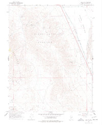
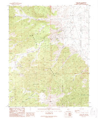
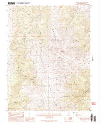
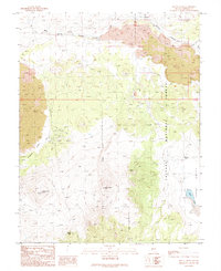
Editions of this 1967 Mina NW Map
3 editions found
Historical Maps of Mineral County Through Time
74 maps found
1955 Powell Mtn
Mineral County, NV
1956 Aurora
Mineral County, NV
1956 Mt. Grant
Mineral County, NV
1958 Huntoon Valley
Mineral County, NV
1964 Gillis Canyon
Mineral County, NV
1967 Basalt
Mineral County, NV
1967 Belleville
Mineral County, NV
1967 Camp Douglas
Mineral County, NV
1967 Candelaria
Mineral County, NV
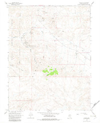
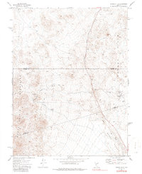
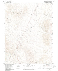
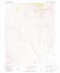
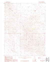
1967 Jacks Spring
Mineral County, NV
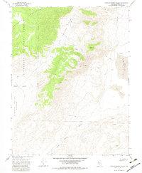
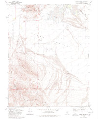
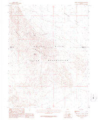
1967 Little Huntoon Valley
Mineral County, NV
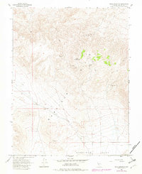
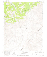
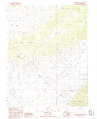
1967 Mable Mountain
Mineral County, NV
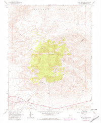
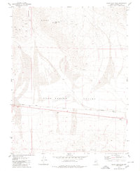
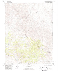
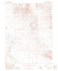
1967 Miller Mountain
Mineral County, NV
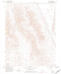
1967 Mina NW
Mineral County, NV
1967 Moho Mountain
Mineral County, NV
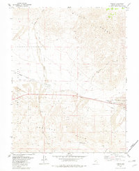
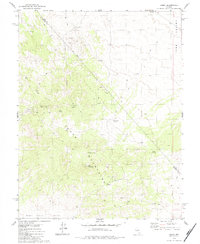
1967 Pamlico
Mineral County, NV
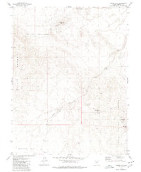
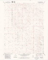
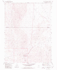
1967 Rattlesnake Flat
Mineral County, NV
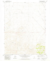
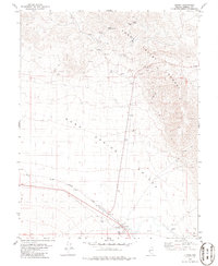
1967 Sodaville
Mineral County, NV
1967 Teels Marsh
Mineral County, NV
1972 Broken Hills
Mineral County, NV
1972 Slate Mtn
Mineral County, NV
1979 Copper Mtn.
Mineral County, NV
1979 Gabbs Mountain
Mineral County, NV
1979 Indian Head Peak
Mineral County, NV
1979 Kinkaid
Mineral County, NV
1979 Kinkaid NW
Mineral County, NV
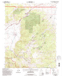
1979 Mt. Ferguson
Mineral County, NV
1979 Pilot Cone
Mineral County, NV
1979 Ramsey Spring
Mineral County, NV
1979 Simon
Mineral County, NV
1979 Stewart Spring
Mineral County, NV
1979 Sunrise Flat
Mineral County, NV
1979 Win Wan Flat
Mineral County, NV
1980 Bettles Well
Mineral County, NV
1980 Big Kasock Mtn
Mineral County, NV
1980 Dicalite Summit
Mineral County, NV
1980 Eddyville
Mineral County, NV
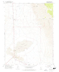
1980 Luning
Mineral County, NV
1980 Mount Annie
Mineral County, NV
1980 Murphys Well
Mineral County, NV
1980 Poinsettia Spring
Mineral County, NV
1980 Rawhide
Mineral County, NV
1985 Excelsior Mts
Mineral County, NV
1987 Ghost Dance Ridge
Mineral County, NV
1987 Gillis Canyon NW
Mineral County, NV
1987 Hawthorne East
Mineral County, NV
1987 Hawthorne West
Mineral County, NV
1987 Hu-Pwi Wash
Mineral County, NV
1987 Mt. Montgomery
Mineral County, NV

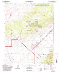
1987 Powell Mountain NE
Mineral County, NV
1987 Red Ridge
Mineral County, NV
1987 Ryan Canyon
Mineral County, NV
1987 Terrill Mountains
Mineral County, NV
1987 Truman Meadows
Mineral County, NV
1987 Weber Dam
Mineral County, NV
1988 Anchorite Hills
Mineral County, NV
1988 Copper Canyon
Mineral County, NV
1988 Gillis Canyon
Mineral County, NV
1988 Huntoon Spring
Mineral County, NV
1988 Huntoon Valley
Mineral County, NV
1988 Hussman Spring
Mineral County, NV
1988 Reese River Canyon
Mineral County, NV
1989 Aurora
Mineral County, NV
1989 Corey Peak
Mineral County, NV
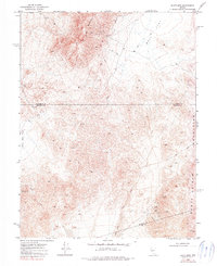
1989 Lucky Boy
Mineral County, NV
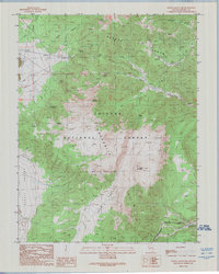
1989 Mount Grant
Mineral County, NV
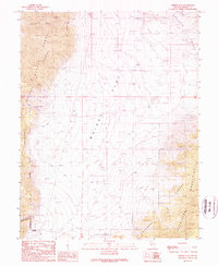
1989 Mount Hicks
Mineral County, NV
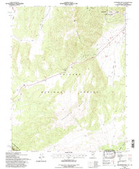
1989 Powell Mountain
Mineral County, NV
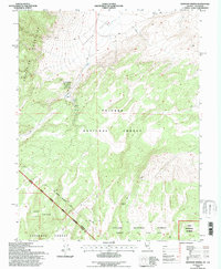
1989 Whisky Flat
Mineral County, NV
1994 Anchorite Hills
Mineral County, NV
1994 Huntoon Spring
Mineral County, NV
1994 Jacks Spring
Mineral County, NV
1994 Mt. Montgomery
Mineral County, NV
1994 Truman Meadows
Mineral County, NV