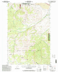
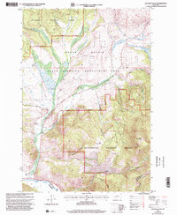
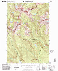
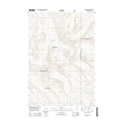
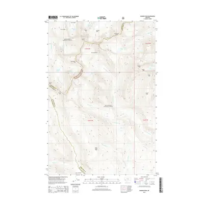
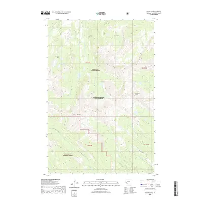
2024 Map of Mount Haggin
USGS Topo · Published 2024About this map
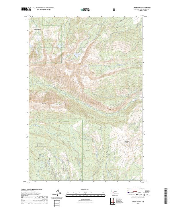
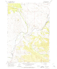
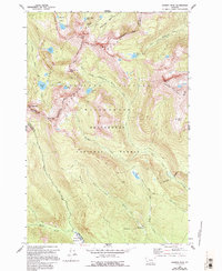
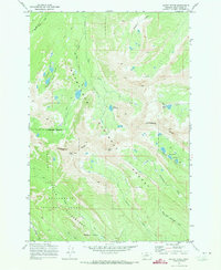
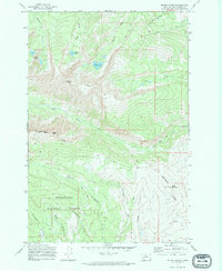
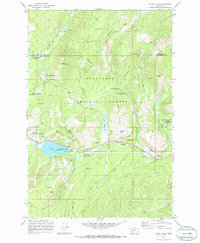
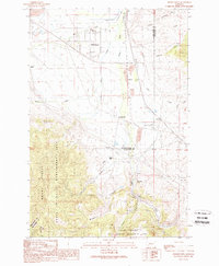
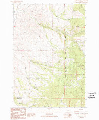
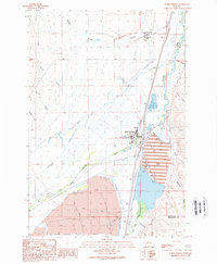
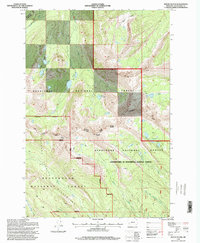
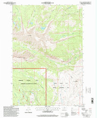
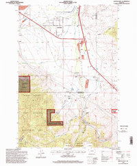
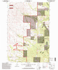
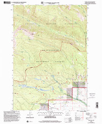
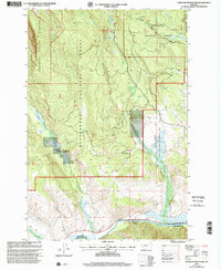
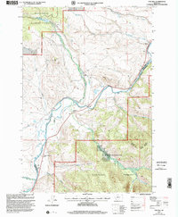
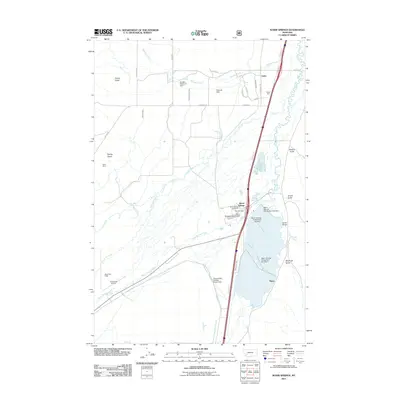
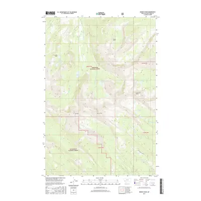
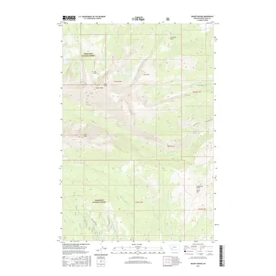
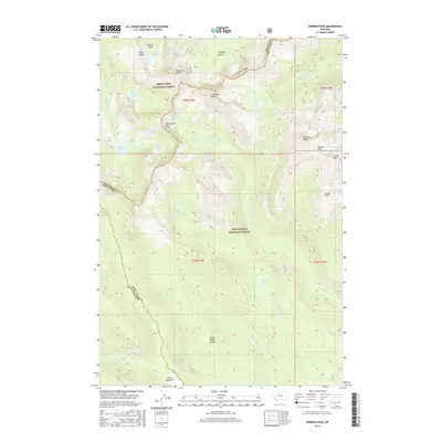
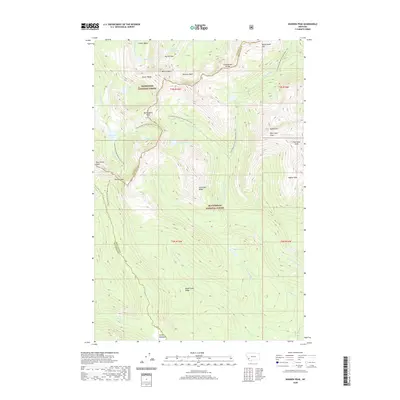
The Anaconda Range defines this high-altitude landscape where the Continental Divide winds across the eastern slopes. Centered on the prominence of Mt Haggin, this 2024 survey depicts a section of the Deerlodge National Forest largely shaped by its glacial geology and drainage networks. Alpine water bodies like Haggin Lake, Hearst Lake, and Barker Lakes feed the numerous headwaters that radiate from the peaks, including Mill Creek and Tenmile Creek. This contemporary mapping provides a clear view of the established trail system used for navigating the steep terrain, featuring the Clear Creek Trl, Rosa Trl, and Whipperwill Trl. The inclusion of various gulches such as Grays Gulch and Ice House Gulch offers precise coordinates for those studying the local topography and hydrography within Deer Lodge County.
Find a feature on this map
30 named features on this map. Tap any name to fly to it.
Don’t see what you’re looking for? This feature index may not catch every label — zoom into the map to look around manually.
Map Details
Editions of this 2024 Mount Haggin Map
This is the sole edition of this map. No revisions or reprints were ever made.
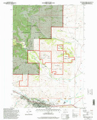
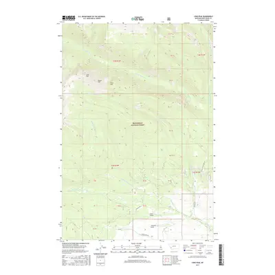
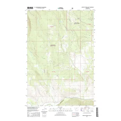
Historical Maps of Deer Lodge County Through Time
98 maps found
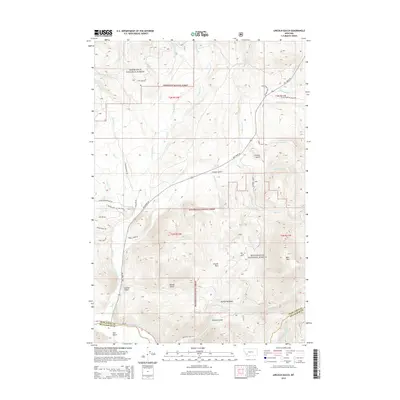
1962 Lincoln Gulch
Deer Lodge County, MT
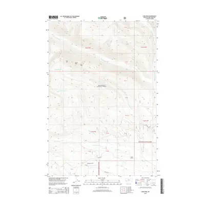
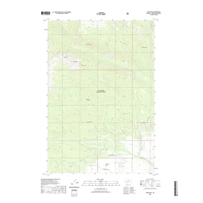
1962 Long Peak
Deer Lodge County, MT
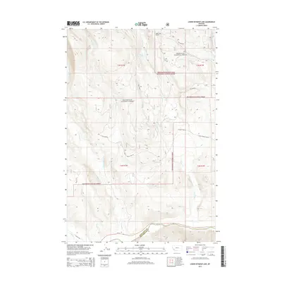
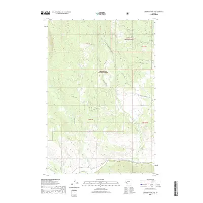
1962 Lower Seymour Lake
Deer Lodge County, MT
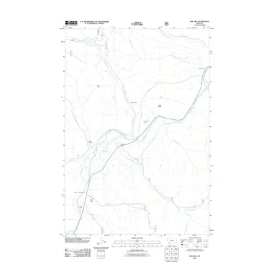
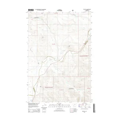
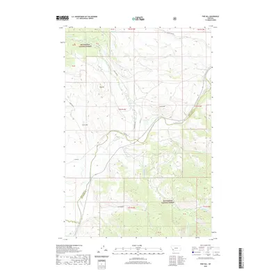
1962 Pine Hill
Deer Lodge County, MT
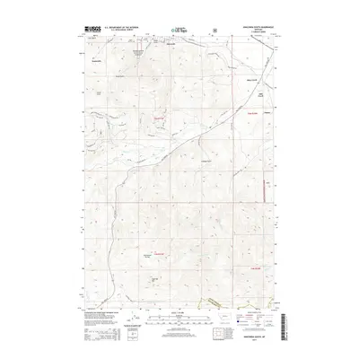
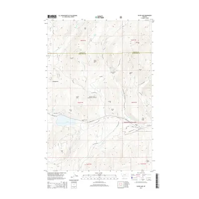
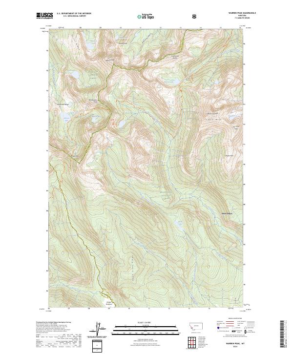
1962 Warren Peak
Deer Lodge County, MT
1971 Mount Evans
Deer Lodge County, MT
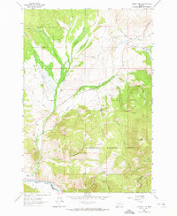
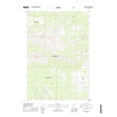
1971 Mount Haggin
Deer Lodge County, MT
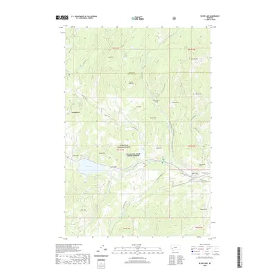
1971 Silver Lake
Deer Lodge County, MT
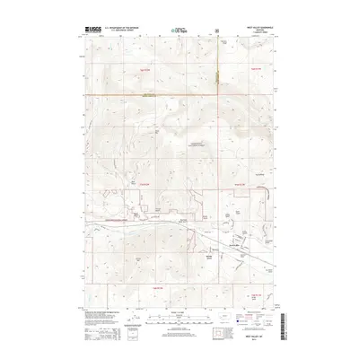
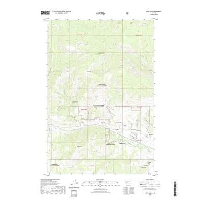
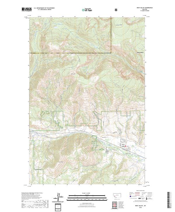
1971 West Valley
Deer Lodge County, MT
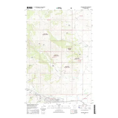
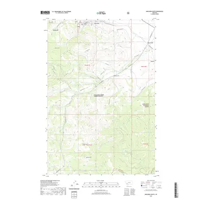
1989 Anaconda North
Deer Lodge County, MT
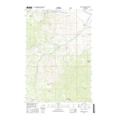
1989 Anaconda South
Deer Lodge County, MT
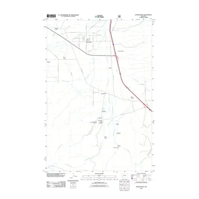
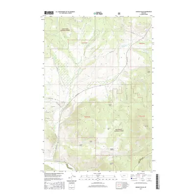
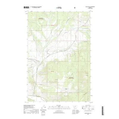
1989 Opportunity
Deer Lodge County, MT
1989 Orofino Mountain
Deer Lodge County, MT
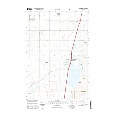
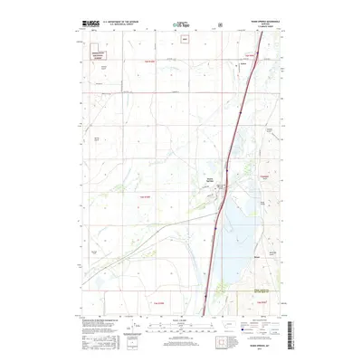
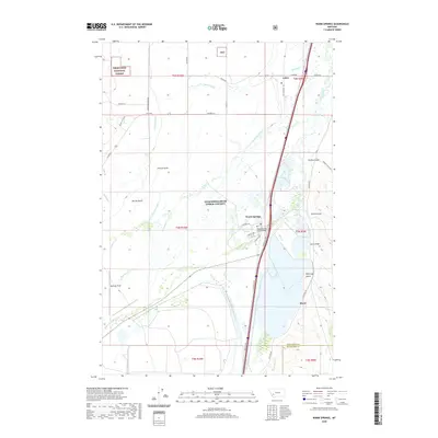
1989 Warm Springs
Deer Lodge County, MT
1996 Anaconda North
Deer Lodge County, MT
1996 Anaconda South
Deer Lodge County, MT
1996 Mount Evans
Deer Lodge County, MT
1996 Mount Haggin
Deer Lodge County, MT
1996 Opportunity
Deer Lodge County, MT
1996 Orofino Mountain
Deer Lodge County, MT
1996 Silver Lake
Deer Lodge County, MT
1996 Warm Springs
Deer Lodge County, MT
1996 West Valley
Deer Lodge County, MT
1997 Lincoln Gulch
Deer Lodge County, MT
1997 Long Peak
Deer Lodge County, MT
1997 Lower Seymour Lake
Deer Lodge County, MT
1997 Pine Hill
Deer Lodge County, MT
1997 Warren Peak
Deer Lodge County, MT
2011 Anaconda North
Deer Lodge County, MT
2011 Anaconda South
Deer Lodge County, MT
2011 Lincoln Gulch
Deer Lodge County, MT
2011 Long Peak
Deer Lodge County, MT
2011 Lower Seymour Lake
Deer Lodge County, MT
2011 Mount Evans
Deer Lodge County, MT
2011 Mount Haggin
Deer Lodge County, MT
2011 Opportunity
Deer Lodge County, MT
2011 Orofino Mountain
Deer Lodge County, MT
2011 Pine Hill
Deer Lodge County, MT
2011 Silver Lake
Deer Lodge County, MT
2011 Warm Springs
Deer Lodge County, MT
2011 Warren Peak
Deer Lodge County, MT
2011 West Valley
Deer Lodge County, MT
2014 Anaconda North
Deer Lodge County, MT
2014 Anaconda South
Deer Lodge County, MT
2014 Lincoln Gulch
Deer Lodge County, MT
2014 Long Peak
Deer Lodge County, MT
2014 Lower Seymour Lake
Deer Lodge County, MT
2014 Mount Evans
Deer Lodge County, MT
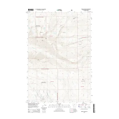
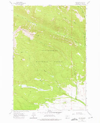
2014 Mount Haggin
Deer Lodge County, MT
2014 Opportunity
Deer Lodge County, MT
2014 Orofino Mountain
Deer Lodge County, MT
2014 Pine Hill
Deer Lodge County, MT
2014 Silver Lake
Deer Lodge County, MT
2014 Warm Springs
Deer Lodge County, MT
2014 Warren Peak
Deer Lodge County, MT
2014 West Valley
Deer Lodge County, MT
2017 Anaconda North
Deer Lodge County, MT
2017 Anaconda South
Deer Lodge County, MT
2017 Lincoln Gulch
Deer Lodge County, MT
2017 Long Peak
Deer Lodge County, MT
2017 Lower Seymour Lake
Deer Lodge County, MT
2017 Mount Evans
Deer Lodge County, MT
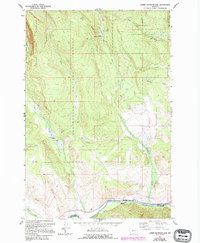
2017 Mount Haggin
Deer Lodge County, MT
2017 Opportunity
Deer Lodge County, MT
2017 Orofino Mountain
Deer Lodge County, MT
2017 Pine Hill
Deer Lodge County, MT
2017 Silver Lake
Deer Lodge County, MT
2017 Warm Springs
Deer Lodge County, MT
2017 Warren Peak
Deer Lodge County, MT
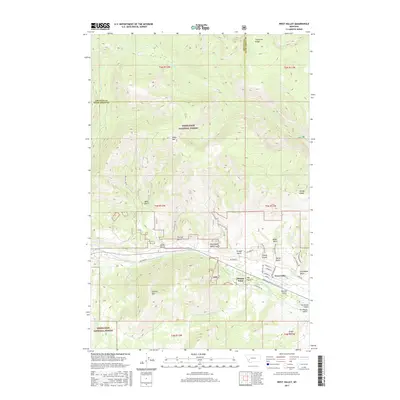
2017 West Valley
Deer Lodge County, MT
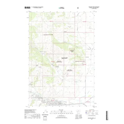
2020 Anaconda North
Deer Lodge County, MT
2020 Anaconda South
Deer Lodge County, MT
2020 Lincoln Gulch
Deer Lodge County, MT
2020 Long Peak
Deer Lodge County, MT
2020 Lower Seymour Lake
Deer Lodge County, MT
2020 Mount Evans
Deer Lodge County, MT
2020 Mount Haggin
Deer Lodge County, MT
2020 Opportunity
Deer Lodge County, MT
2020 Orofino Mountain
Deer Lodge County, MT
2020 Pine Hill
Deer Lodge County, MT
2020 Silver Lake
Deer Lodge County, MT
2020 Warm Springs
Deer Lodge County, MT
2020 Warren Peak
Deer Lodge County, MT
2020 West Valley
Deer Lodge County, MT
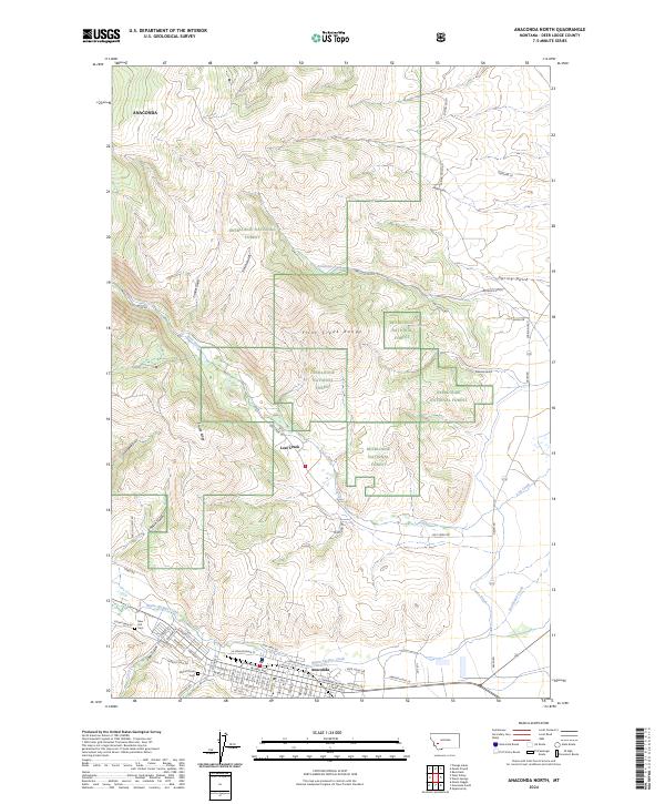
2024 Anaconda North
Deer Lodge County, MT
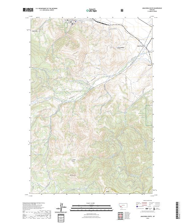
2024 Anaconda South
Deer Lodge County, MT
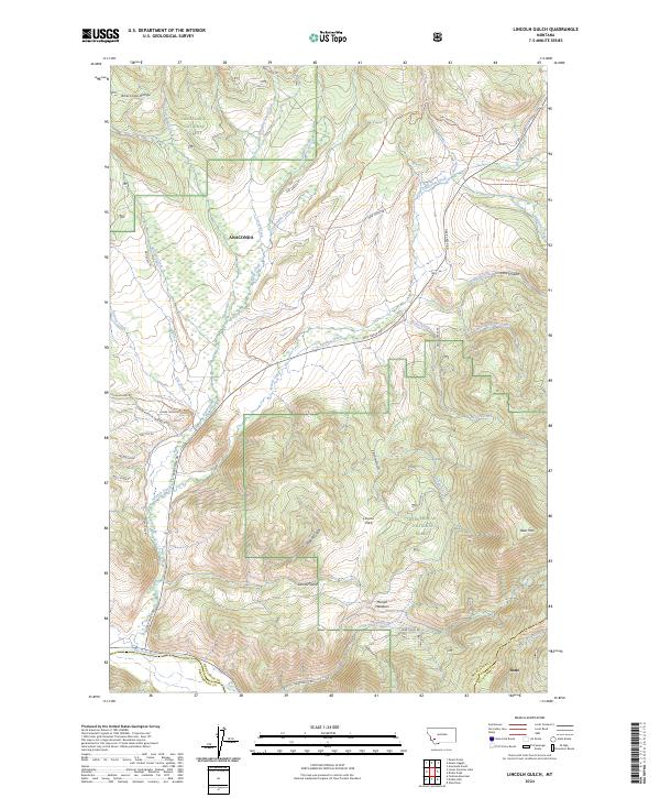
2024 Lincoln Gulch
Deer Lodge County, MT
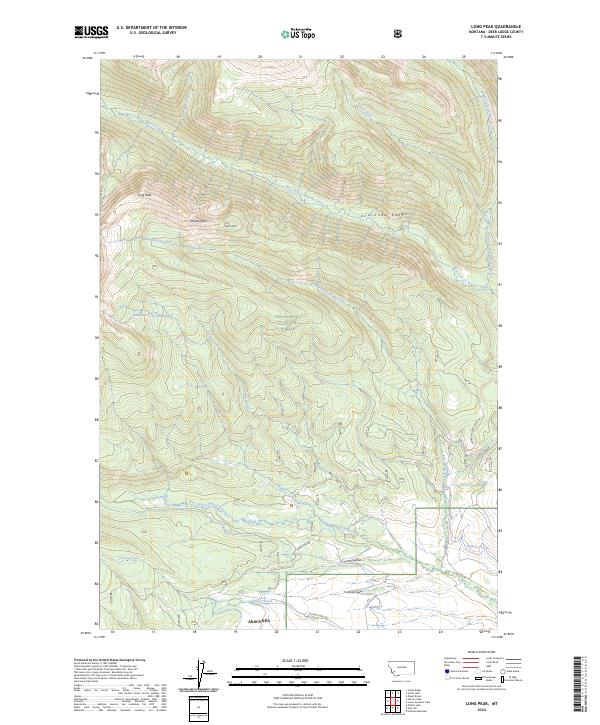
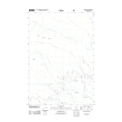
2024 Long Peak
Deer Lodge County, MT
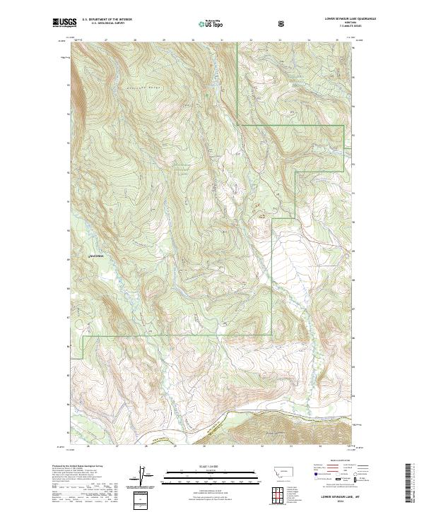
2024 Lower Seymour Lake
Deer Lodge County, MT
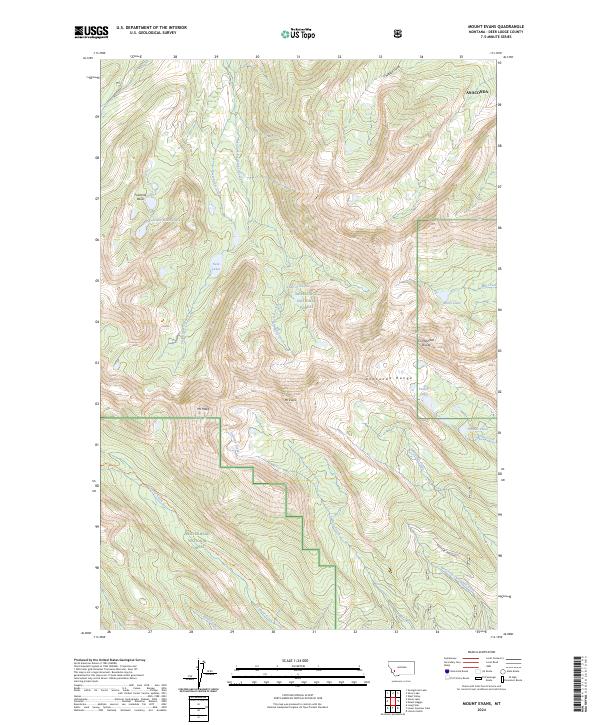
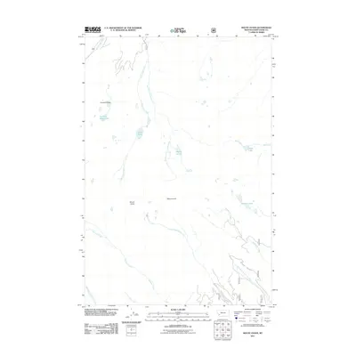
2024 Mount Evans
Deer Lodge County, MT
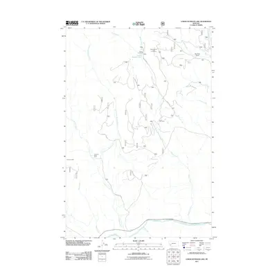
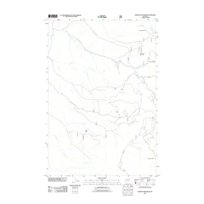
2024 Mount Haggin
Deer Lodge County, MT
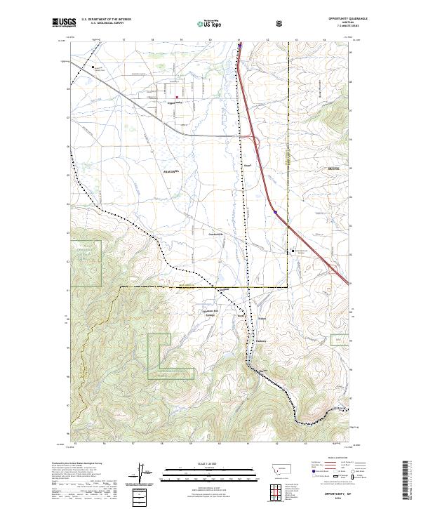
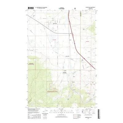
2024 Opportunity
Deer Lodge County, MT
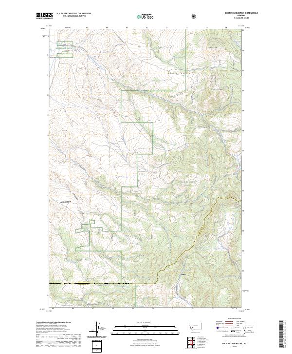
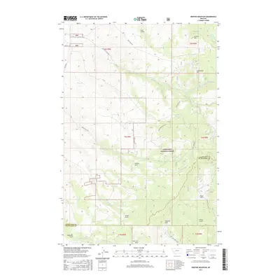
2024 Orofino Mountain
Deer Lodge County, MT
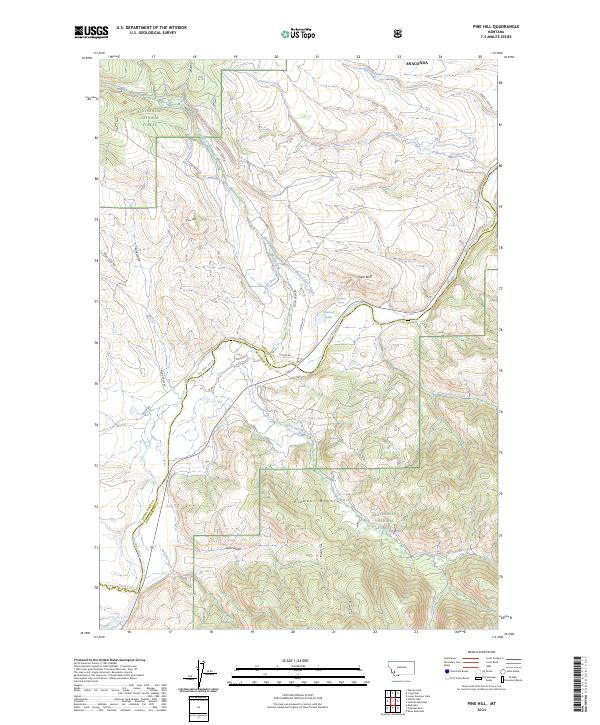
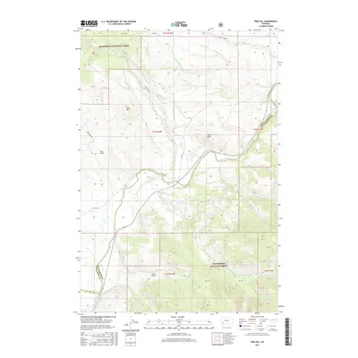
2024 Pine Hill
Deer Lodge County, MT
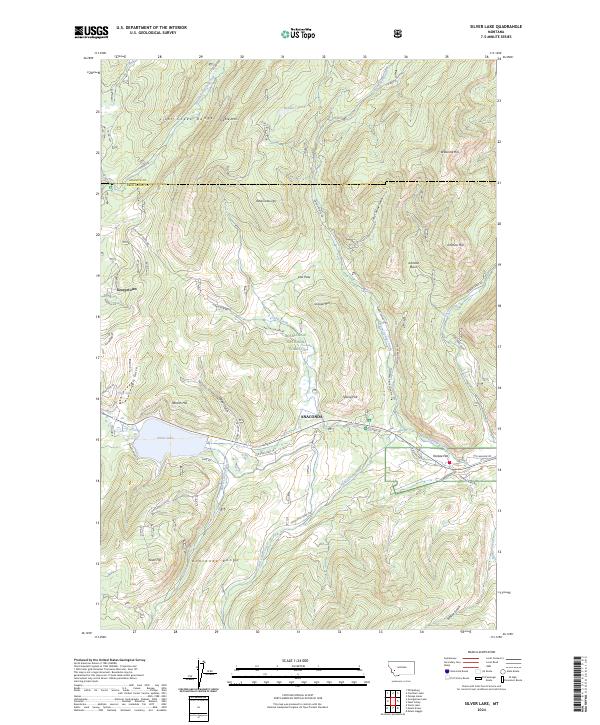
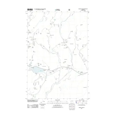
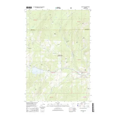
2024 Silver Lake
Deer Lodge County, MT
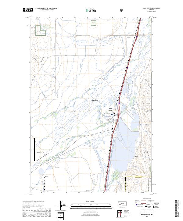
2024 Warm Springs
Deer Lodge County, MT
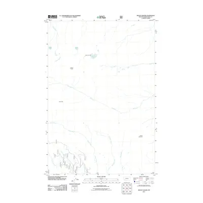
2024 Warren Peak
Deer Lodge County, MT
2024 West Valley
Deer Lodge County, MT