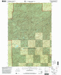
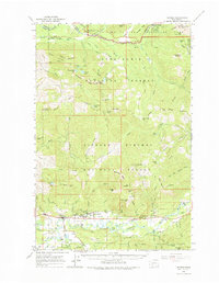
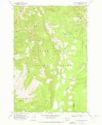
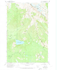
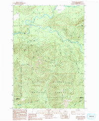
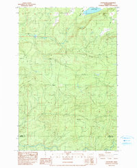
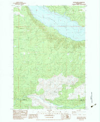
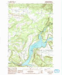
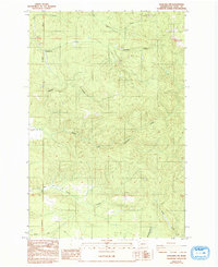
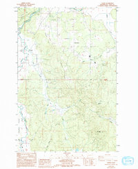
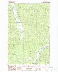
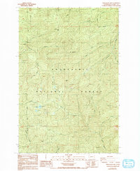
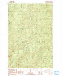
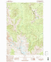
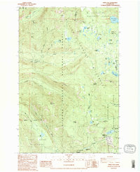
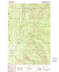
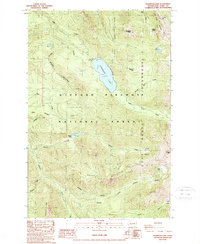
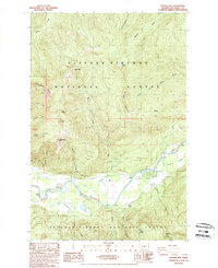
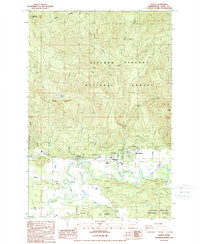
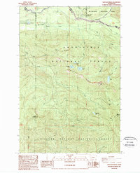
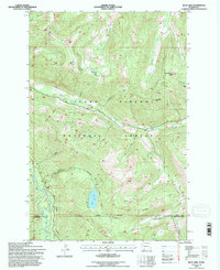
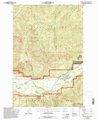
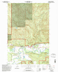
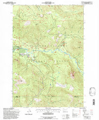
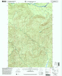
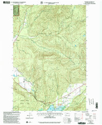
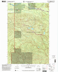
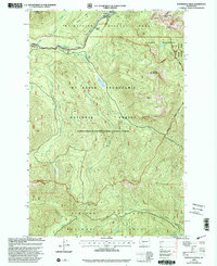
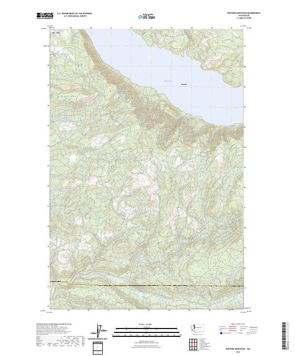
1998 Map of Newaukum Lake
USGS Topo · Published 2003This historical map portrays the area of Newaukum Lake in 1998, primarily covering Lewis County. Featuring a scale of 1:24000, this map provides a highly detailed snapshot of the terrain, roads, buildings, counties, and historical landmarks in the Newaukum Lake region at the time. Published in 2003, it is the sole known edition of this map.
Find a feature on this map
18 named features on this map. Tap any name to fly to it.
Don’t see what you’re looking for? This feature index may not catch every label — zoom into the map to look around manually.
Map Details
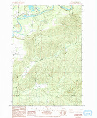
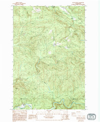
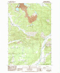
Editions of this 1998 Newaukum Lake Map
This is the sole edition of this map. No revisions or reprints were ever made.
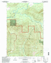
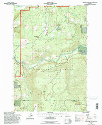
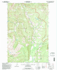
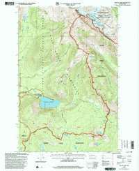
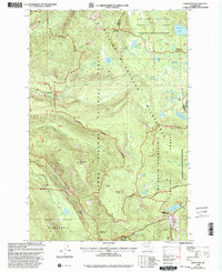
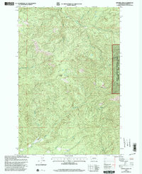
Historical Maps of Lewis County Through Time
104 maps found
1924 Mt Rainier
Lewis County, WA
1928 Mt Rainier
Lewis County, WA

1941 Meskill
Lewis County, WA

1943 Willapa
Lewis County, WA
1953 Adna
Lewis County, WA
1962 Randle
Lewis County, WA
1965 Greenhorn Buttes
Lewis County, WA
1965 Tower Rock
Lewis County, WA
1970 Blue Lake
Lewis County, WA
1970 Hamilton Buttes
Lewis County, WA
1970 Walupt Lake
Lewis County, WA
1983 Cowlitz Falls
Lewis County, WA
1983 Coyote Mtn
Lewis County, WA
1983 Winters Mtn
Lewis County, WA
1984 Eden Valley
Lewis County, WA
1984 Hatchet Mtn
Lewis County, WA
1984 Logan Hill
Lewis County, WA
1984 Mayfield Lake
Lewis County, WA
1984 Vanson Peak
Lewis County, WA
1985 Bernier Creek
Lewis County, WA
1985 Jackson Prairie
Lewis County, WA
1985 Onalaska NW
Lewis County, WA
1986 Adna
Lewis County, WA
1986 Boistfort
Lewis County, WA
1986 Boistfort Peak
Lewis County, WA
1986 Curtis
Lewis County, WA
1986 Doty
Lewis County, WA
1986 Elochoman Pass
Lewis County, WA
1986 Rainbow Falls
Lewis County, WA
1986 Wildwood
Lewis County, WA
1987 Anderson Lake
Lewis County, WA
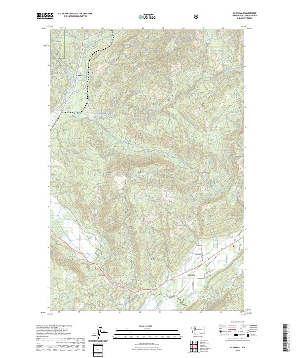
1987 Glenoma
Lewis County, WA
1987 Kiona Peak
Lewis County, WA
1987 Newaukum Lake
Lewis County, WA
1987 The Rockies
Lewis County, WA
1988 Old Snowy Mtn.
Lewis County, WA
1988 White Pass
Lewis County, WA
1989 Ohanapecosh Hot Springs
Lewis County, WA
1989 Packwood Lake
Lewis County, WA
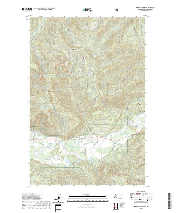
1989 Purcell Mtn.
Lewis County, WA
1989 Randle
Lewis County, WA
1989 Sawtooth Ridge
Lewis County, WA
1989 Tatoosh Lakes
Lewis County, WA
1989 Wahpenayo Peak
Lewis County, WA
1990 Logan Hill
Lewis County, WA
1994 Blue Lake
Lewis County, WA
1994 Cowlitz Falls
Lewis County, WA
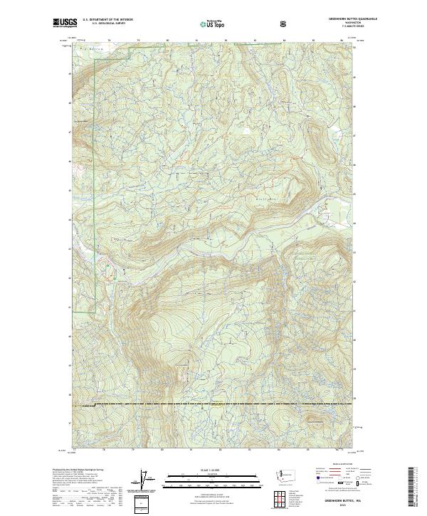
1994 Greenhorn Buttes
Lewis County, WA
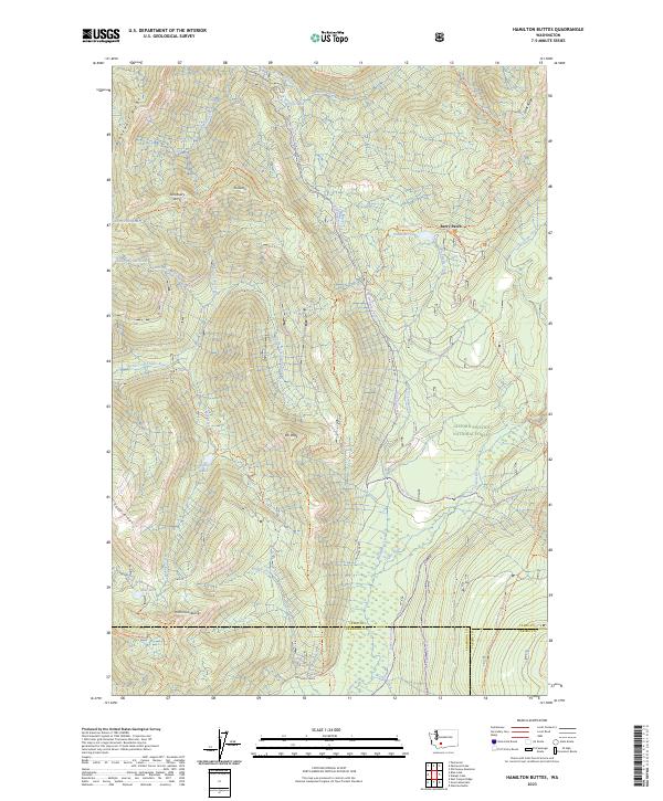
1994 Hamilton Buttes
Lewis County, WA
1994 Purcell Mtn.
Lewis County, WA
1994 Randle
Lewis County, WA
1994 Tower Rock
Lewis County, WA
1998 Anderson Lake
Lewis County, WA
1998 Glenoma
Lewis County, WA
1998 Kiona Peak
Lewis County, WA
1998 Newaukum Lake
Lewis County, WA
1998 Ohanapecosh Hot Springs
Lewis County, WA
1998 Packwood Lake
Lewis County, WA
1998 Sawtooth Ridge
Lewis County, WA
1998 Tatoosh Lakes
Lewis County, WA
1998 The Rockies
Lewis County, WA
1998 Vanson Peak
Lewis County, WA
1998 Wahpenayo Peak
Lewis County, WA
1998 Walupt Lake
Lewis County, WA
1998 White Pass
Lewis County, WA
2000 Bernier Creek
Lewis County, WA
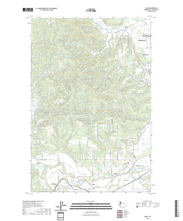
2023 Adna
Lewis County, WA
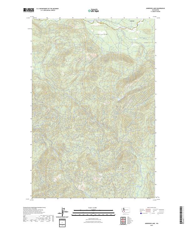
2023 Anderson Lake
Lewis County, WA
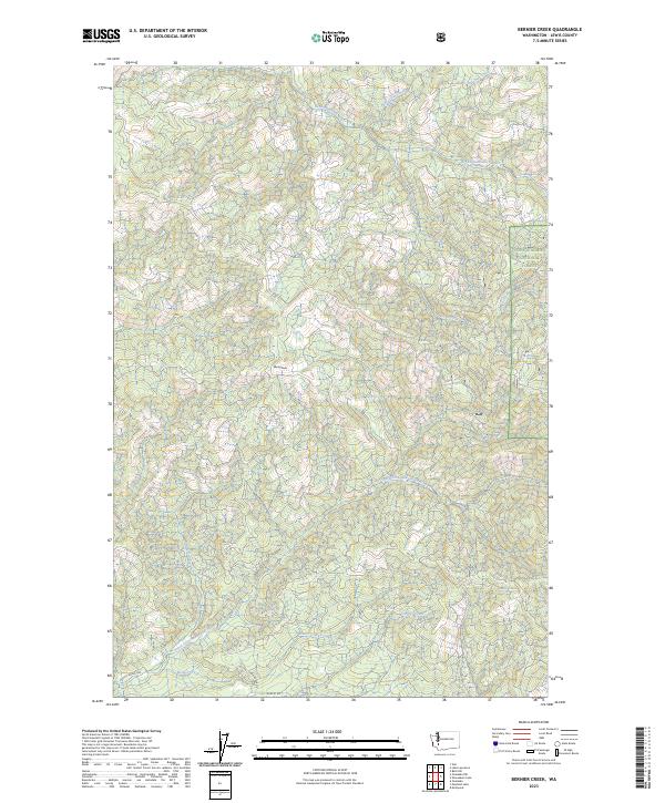
2023 Bernier Creek
Lewis County, WA
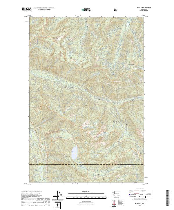
2023 Blue Lake
Lewis County, WA
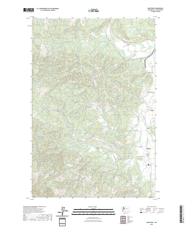
2023 Boistfort
Lewis County, WA
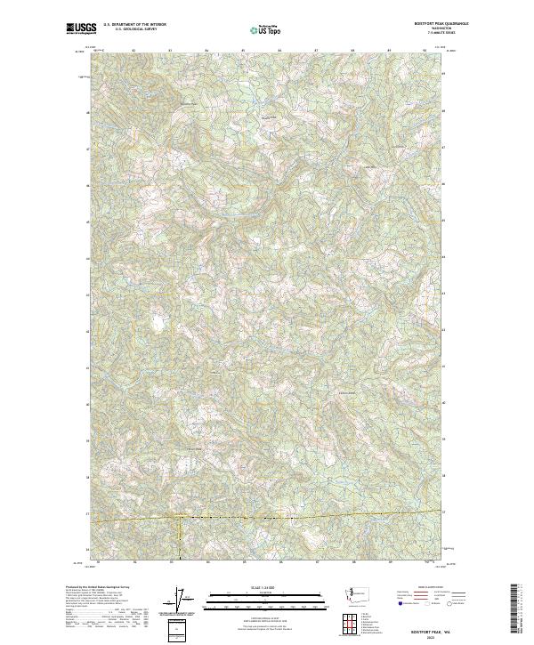
2023 Boistfort Peak
Lewis County, WA
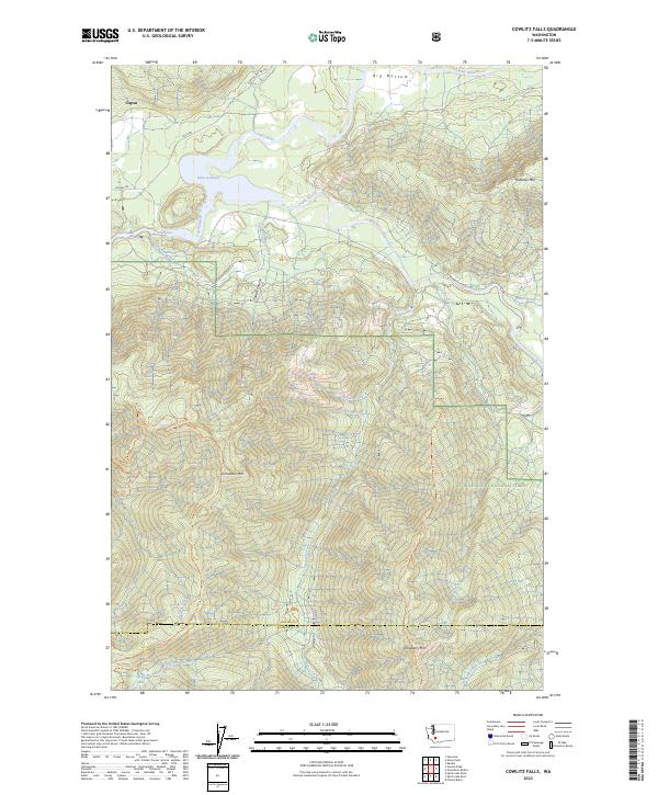
2023 Cowlitz Falls
Lewis County, WA
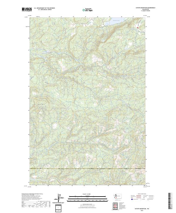
2023 Coyote Mountain
Lewis County, WA
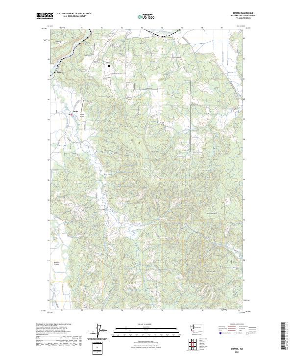
2023 Curtis
Lewis County, WA
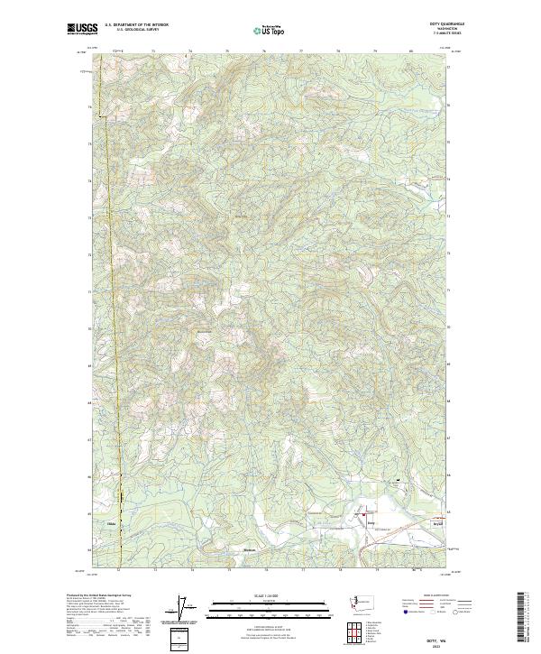
2023 Doty
Lewis County, WA
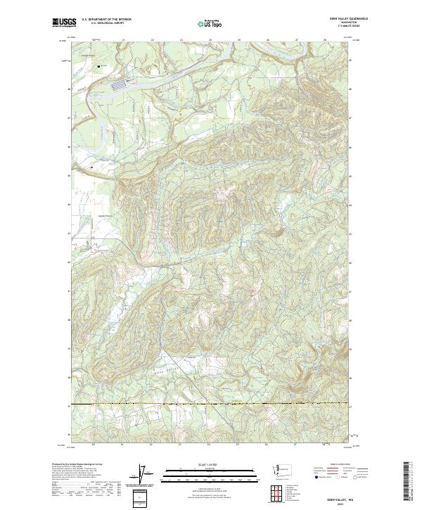
2023 Eden Valley
Lewis County, WA
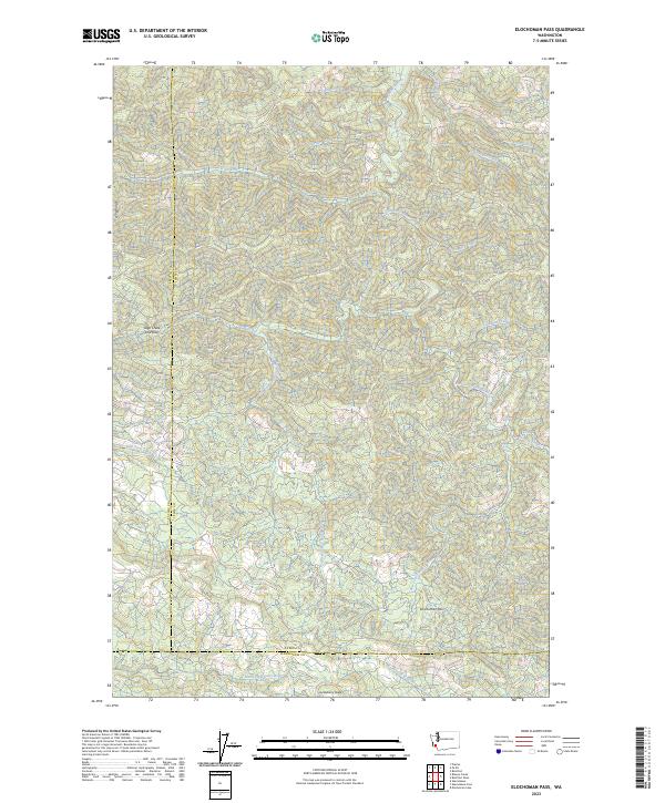
2023 Elochoman Pass
Lewis County, WA
2023 Glenoma
Lewis County, WA
2023 Greenhorn Buttes
Lewis County, WA
2023 Hamilton Buttes
Lewis County, WA

2023 Hatchet Mountain
Lewis County, WA
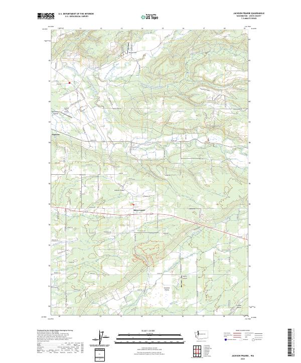
2023 Jackson Prairie
Lewis County, WA
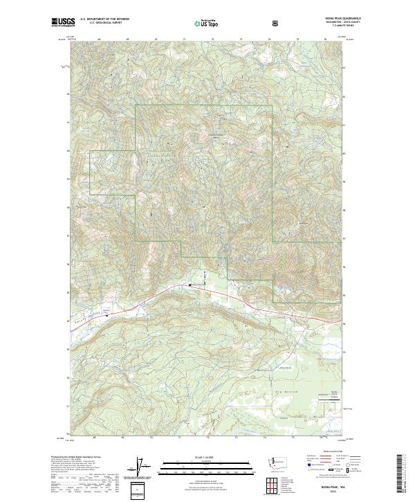
2023 Kiona Peak
Lewis County, WA
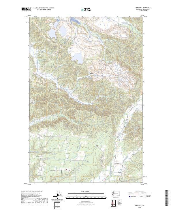
2023 Logan Hill
Lewis County, WA
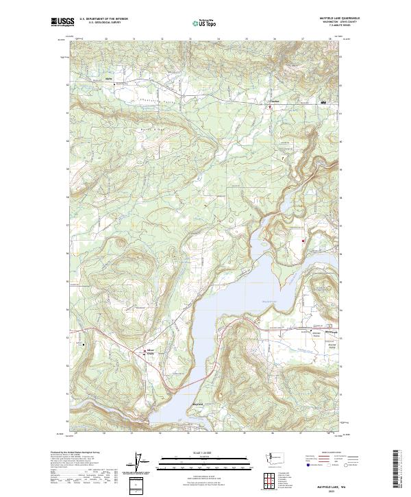
2023 Mayfield Lake
Lewis County, WA
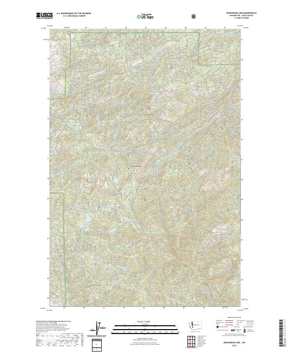
2023 Newaukum Lake
Lewis County, WA
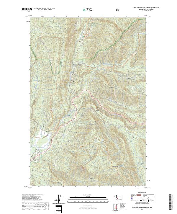
2023 Ohanapecosh Hot Springs
Lewis County, WA
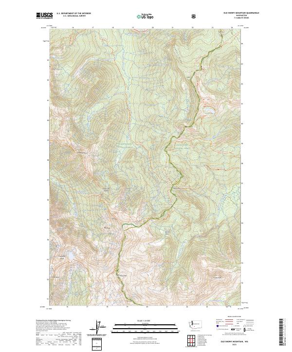
2023 Old Snowy Mountain
Lewis County, WA
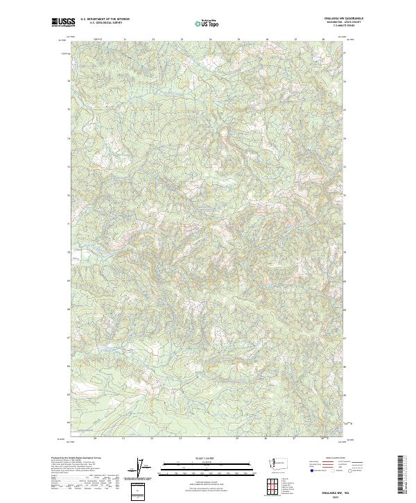
2023 Onalaska NW
Lewis County, WA
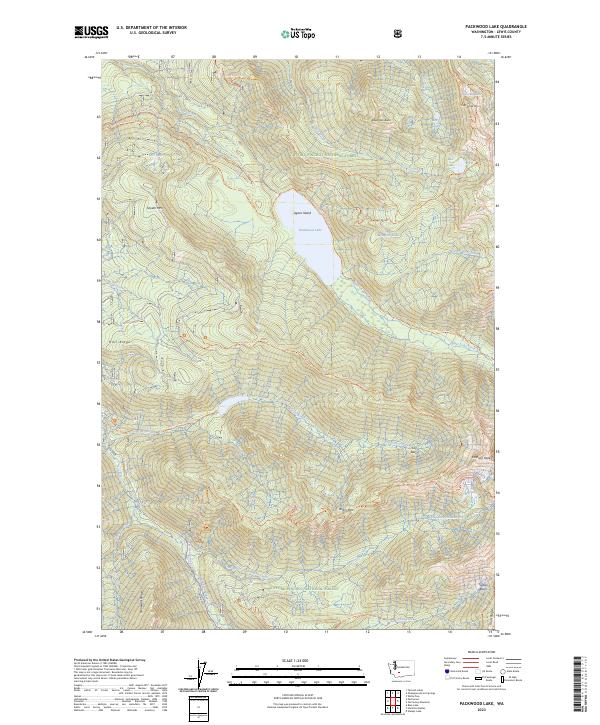
2023 Packwood Lake
Lewis County, WA
2023 Purcell Mountain
Lewis County, WA
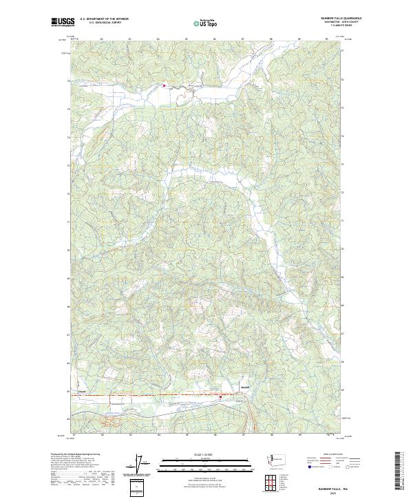
2023 Rainbow Falls
Lewis County, WA
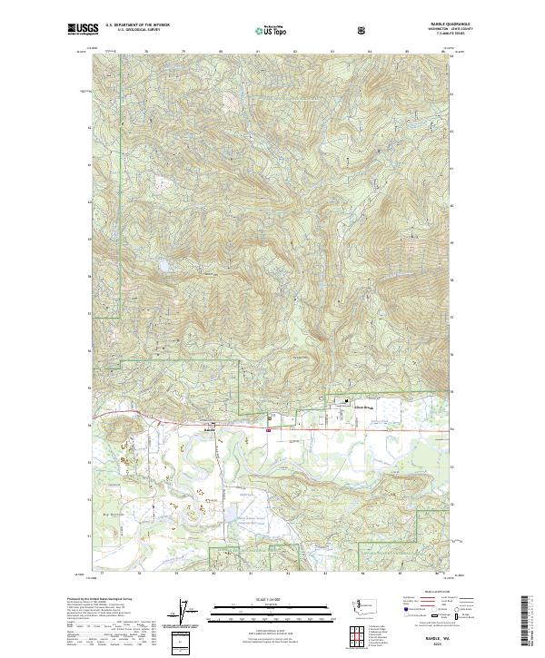
2023 Randle
Lewis County, WA
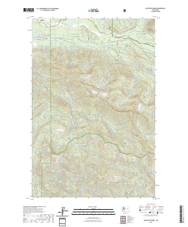
2023 Sawtooth Ridge
Lewis County, WA
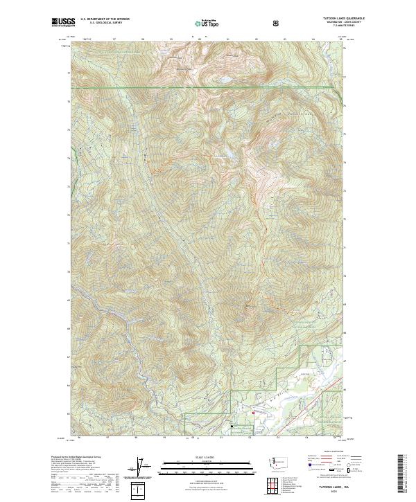
2023 Tatoosh Lakes
Lewis County, WA
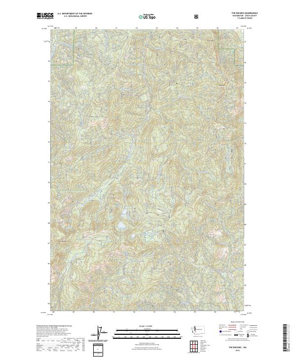
2023 The Rockies
Lewis County, WA
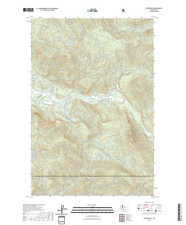
2023 Tower Rock
Lewis County, WA
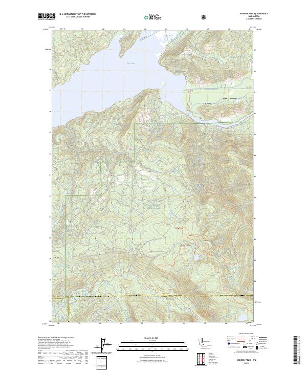
2023 Vanson Peak
Lewis County, WA
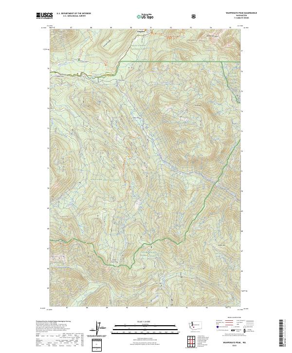
2023 Wahpenayo Peak
Lewis County, WA
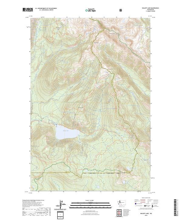
2023 Walupt Lake
Lewis County, WA
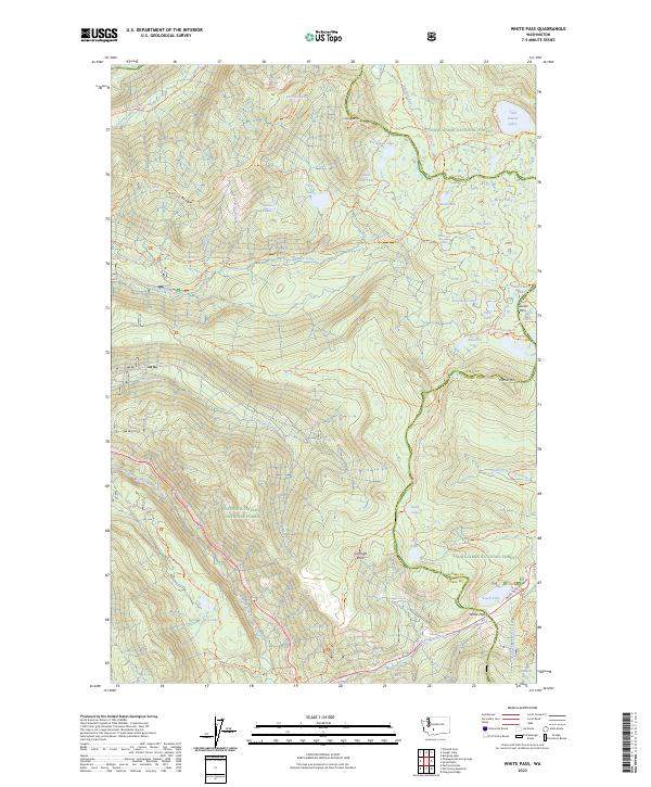
2023 White Pass
Lewis County, WA
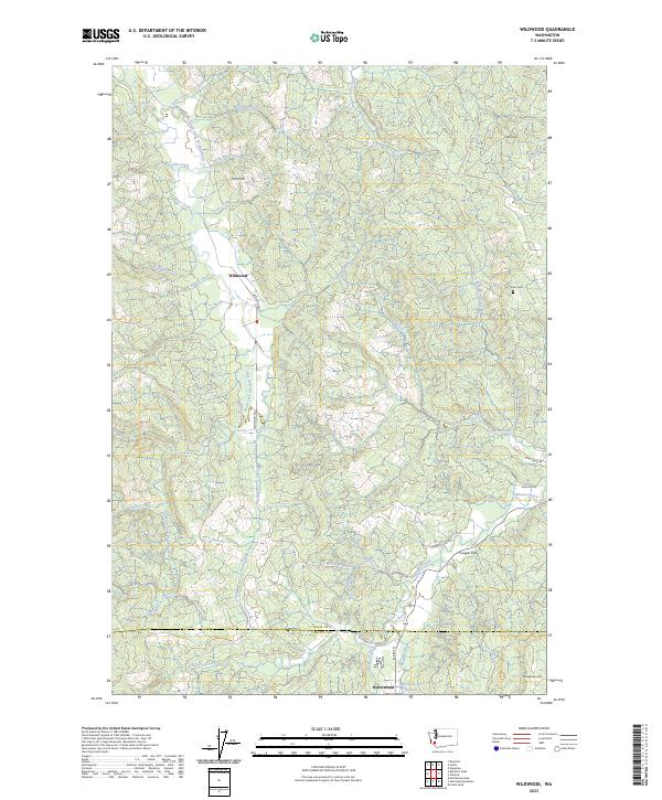
2023 Wildwood
Lewis County, WA
2023 Winters Mountain
Lewis County, WA