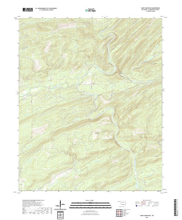
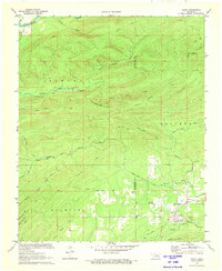
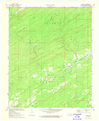
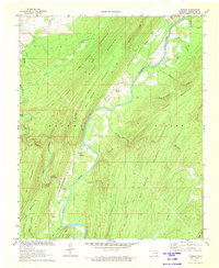
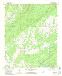
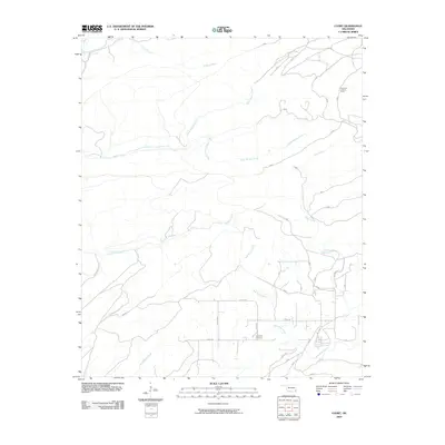
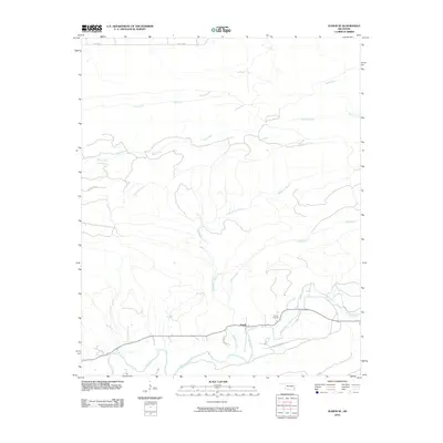
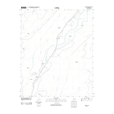
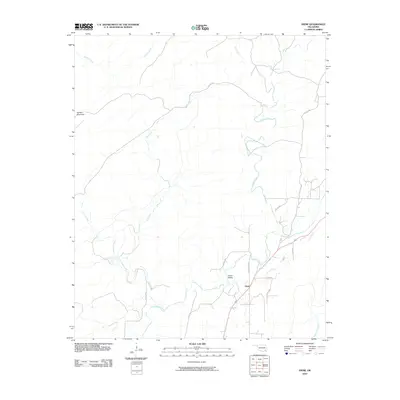
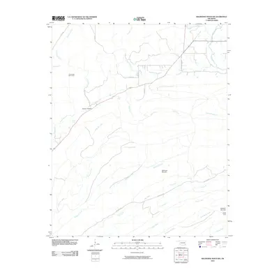
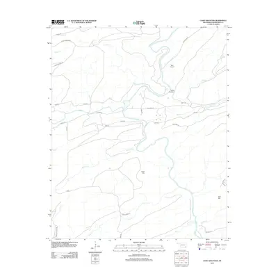
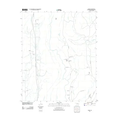
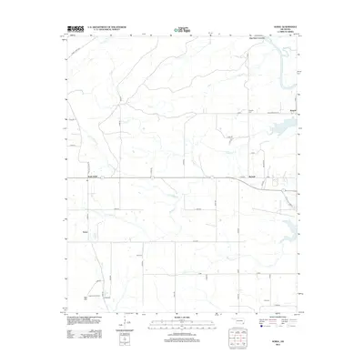
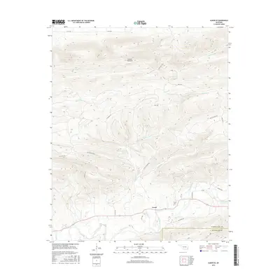
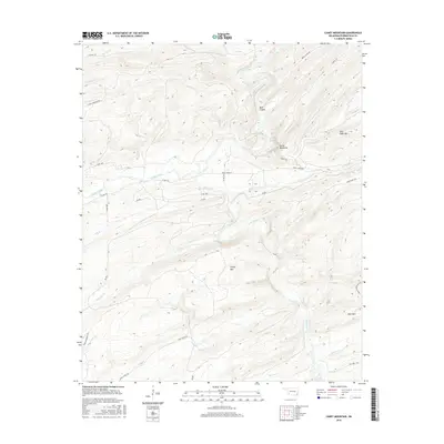
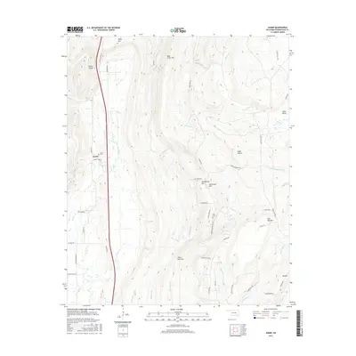
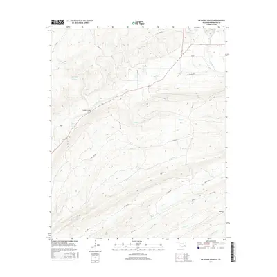
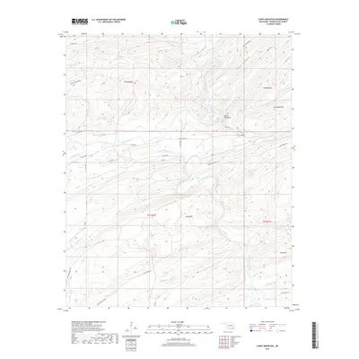
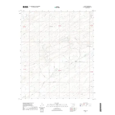
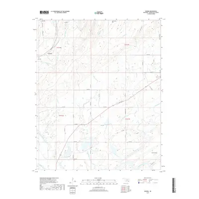
2022 Map of Caney Mountain
USGS Topo · Published 2022About this map
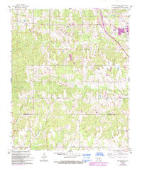
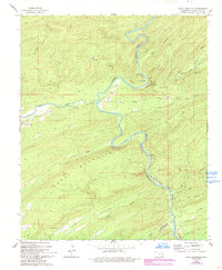
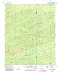
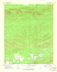
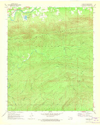
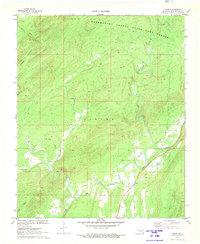
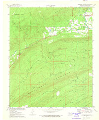
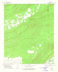
Little River winds through the heart of this terrain, joined by numerous tributaries including Cloudy Creek and Holly Cr. This landscape is defined by its significant elevations, most notably Caney Mtn, John Noah Mtn, and the distinctive Devils Backbone ridge. The lack of concentrated settlements suggests a region dedicated to forestry or remote mountain living, where travel depends on a network of named tracks and county routes. Researchers can trace the paths of Harry Rowe Trl, Caney Mountain Trl, and Bear Canyon Rd as they navigate the ridges and valleys. Evidence of local landmarks is sparse but specific, such as the Iron Springs located near the northern bends of the river, while the drainages of Rock Pen Cr and Bullpen Cr indicate the importance of the local watershed in this part of Pushmataha County.
Find a feature on this map
36 named features on this map. Tap any name to fly to it.
Don’t see what you’re looking for? This feature index may not catch every label — zoom into the map to look around manually.
Map Details
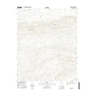
Editions of this 2022 Caney Mountain Map
This is the sole edition of this map. No revisions or reprints were ever made.
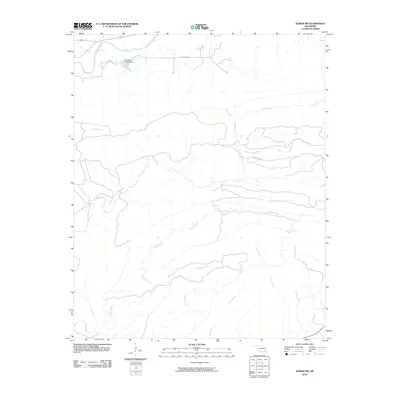
Historical Maps of Pushmataha County Through Time
109 maps found
1901 Alikchi
Pushmataha County, OK
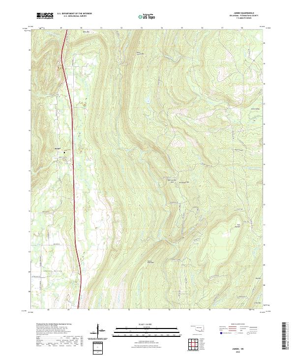
1957 Jumbo
Pushmataha County, OK
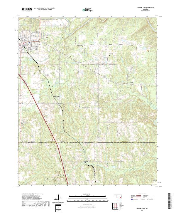
1961 Antlers East
Pushmataha County, OK
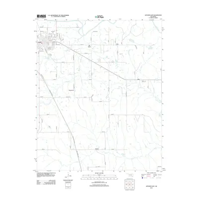
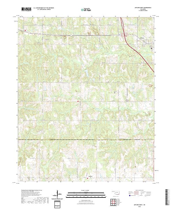
1961 Antlers West
Pushmataha County, OK
1962 Caney Mountain
Pushmataha County, OK
1962 Signal Mountain
Pushmataha County, OK

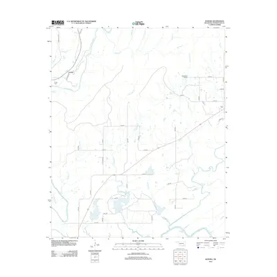
1962 Sobol
Pushmataha County, OK
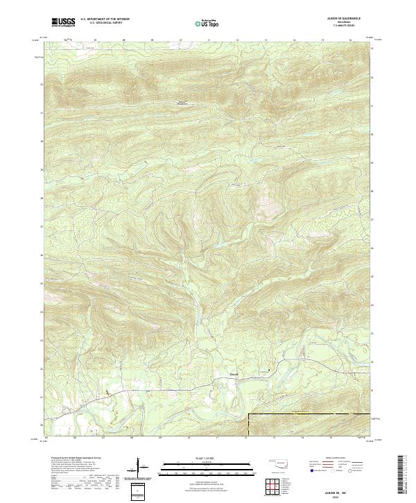
1971 Albion SE
Pushmataha County, OK
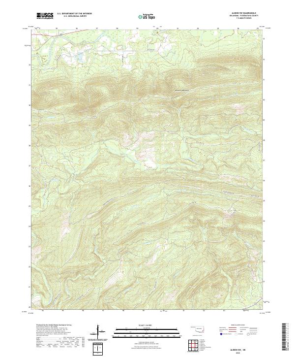
1971 Albion SW
Pushmataha County, OK
1971 Kiamichi
Pushmataha County, OK
1971 Spencerville
Pushmataha County, OK
1971 Stanley
Pushmataha County, OK
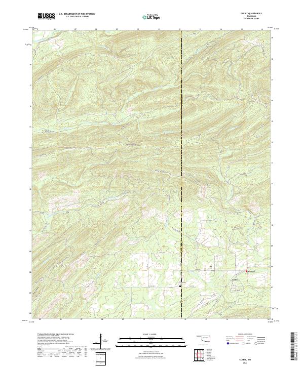
1972 Clebit
Pushmataha County, OK
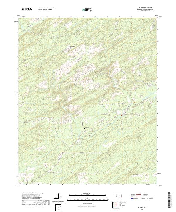
1972 Cloudy
Pushmataha County, OK
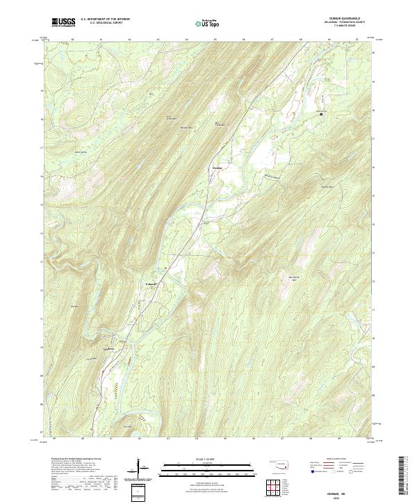
1972 Dunbar
Pushmataha County, OK
1972 Kosoma
Pushmataha County, OK
1972 Snow
Pushmataha County, OK
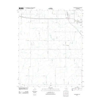
1972 Wildhorse Mountain
Pushmataha County, OK
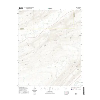
1973 Adel
Pushmataha County, OK
2009 Antlers West
Pushmataha County, OK
2009 Clebit
Pushmataha County, OK
2009 Cloudy
Pushmataha County, OK
2009 Jumbo
Pushmataha County, OK
2010 Adel
Pushmataha County, OK
2010 Albion SE
Pushmataha County, OK
2010 Albion SW
Pushmataha County, OK
2010 Antlers East
Pushmataha County, OK
2010 Caney Mountain
Pushmataha County, OK
2010 Dunbar
Pushmataha County, OK
2010 Kiamichi
Pushmataha County, OK
2010 Kosoma
Pushmataha County, OK
2010 Signal Mountain
Pushmataha County, OK
2010 Snow
Pushmataha County, OK
2010 Sobol
Pushmataha County, OK
2010 Spencerville
Pushmataha County, OK
2010 Stanley
Pushmataha County, OK
2010 Wildhorse Mountain
Pushmataha County, OK
2012 Adel
Pushmataha County, OK
2012 Albion SE
Pushmataha County, OK
2012 Albion SW
Pushmataha County, OK
2012 Caney Mountain
Pushmataha County, OK
2012 Clebit
Pushmataha County, OK
2012 Cloudy
Pushmataha County, OK
2012 Dunbar
Pushmataha County, OK
2012 Jumbo
Pushmataha County, OK
2012 Kiamichi
Pushmataha County, OK
2012 Signal Mountain
Pushmataha County, OK
2012 Snow
Pushmataha County, OK
2012 Sobol
Pushmataha County, OK
2012 Spencerville
Pushmataha County, OK
2012 Stanley
Pushmataha County, OK
2012 Wildhorse Mountain
Pushmataha County, OK
2013 Antlers East
Pushmataha County, OK
2013 Antlers West
Pushmataha County, OK
2013 Kosoma
Pushmataha County, OK
2016 Adel
Pushmataha County, OK
2016 Albion SE
Pushmataha County, OK
2016 Albion SW
Pushmataha County, OK
2016 Antlers East
Pushmataha County, OK
2016 Antlers West
Pushmataha County, OK
2016 Caney Mountain
Pushmataha County, OK
2016 Clebit
Pushmataha County, OK
2016 Cloudy
Pushmataha County, OK
2016 Dunbar
Pushmataha County, OK
2016 Jumbo
Pushmataha County, OK
2016 Kiamichi
Pushmataha County, OK
2016 Kosoma
Pushmataha County, OK
2016 Signal Mountain
Pushmataha County, OK
2016 Snow
Pushmataha County, OK
2016 Sobol
Pushmataha County, OK
2016 Spencerville
Pushmataha County, OK
2016 Stanley
Pushmataha County, OK
2016 Wildhorse Mountain
Pushmataha County, OK
2019 Adel
Pushmataha County, OK
2019 Albion SE
Pushmataha County, OK
2019 Albion SW
Pushmataha County, OK
2019 Antlers East
Pushmataha County, OK
2019 Antlers West
Pushmataha County, OK
2019 Caney Mountain
Pushmataha County, OK
2019 Clebit
Pushmataha County, OK
2019 Cloudy
Pushmataha County, OK
2019 Dunbar
Pushmataha County, OK
2019 Jumbo
Pushmataha County, OK
2019 Kiamichi
Pushmataha County, OK
2019 Kosoma
Pushmataha County, OK
2019 Signal Mountain
Pushmataha County, OK
2019 Snow
Pushmataha County, OK
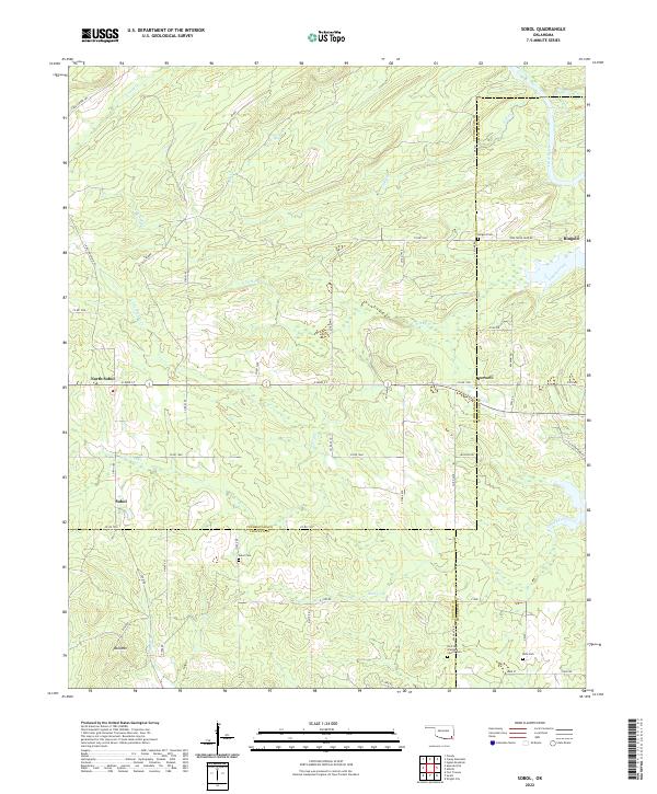
2019 Sobol
Pushmataha County, OK
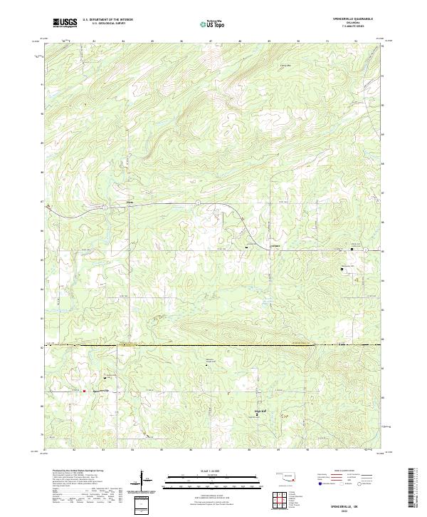
2019 Spencerville
Pushmataha County, OK
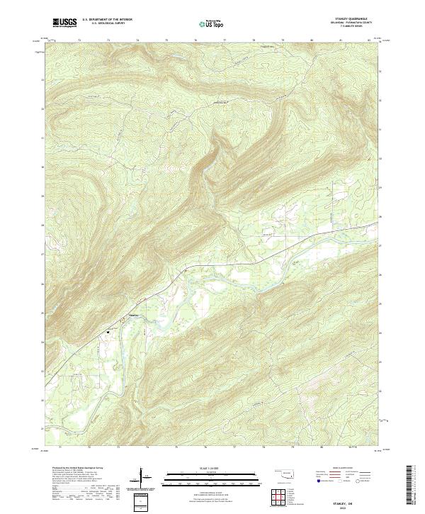
2019 Stanley
Pushmataha County, OK
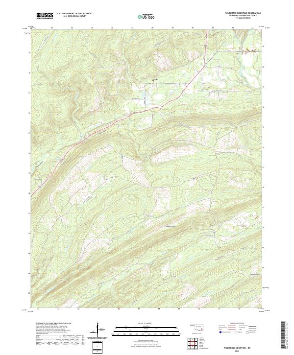
2019 Wildhorse Mountain
Pushmataha County, OK
2022 Adel
Pushmataha County, OK
2022 Albion SE
Pushmataha County, OK
2022 Albion SW
Pushmataha County, OK
2022 Antlers East
Pushmataha County, OK
2022 Antlers West
Pushmataha County, OK
2022 Caney Mountain
Pushmataha County, OK
2022 Clebit
Pushmataha County, OK
2022 Cloudy
Pushmataha County, OK
2022 Dunbar
Pushmataha County, OK
2022 Jumbo
Pushmataha County, OK
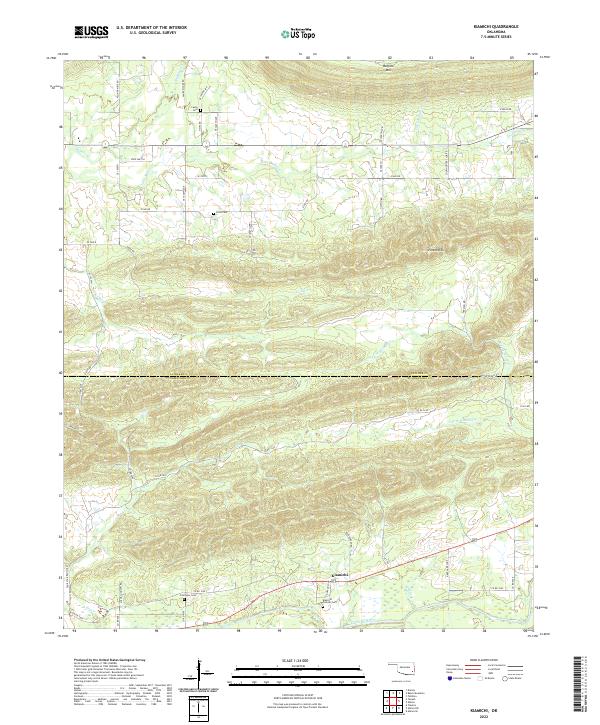
2022 Kiamichi
Pushmataha County, OK
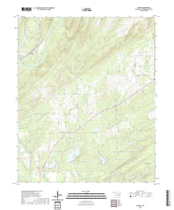
2022 Kosoma
Pushmataha County, OK
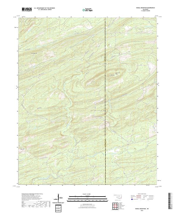
2022 Signal Mountain
Pushmataha County, OK
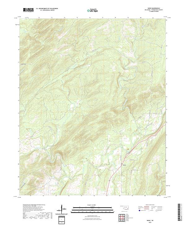
2022 Snow
Pushmataha County, OK
2022 Sobol
Pushmataha County, OK
2022 Spencerville
Pushmataha County, OK
2022 Stanley
Pushmataha County, OK
2022 Wildhorse Mountain
Pushmataha County, OK