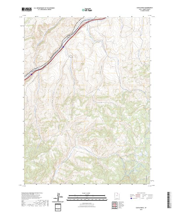
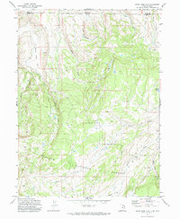
2023 Map of Castle Rock
USGS Topo · Published 2023About this map
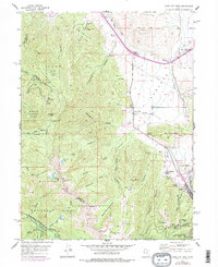
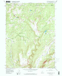
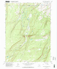
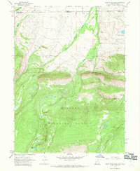
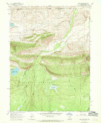
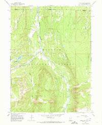
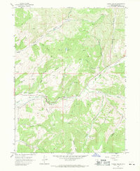
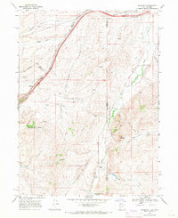
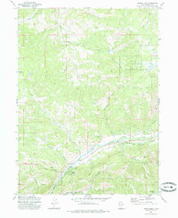
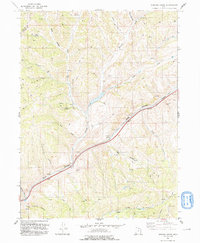
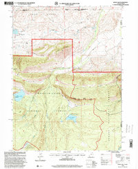
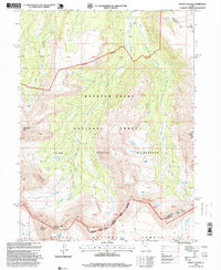
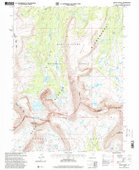
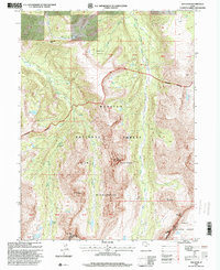
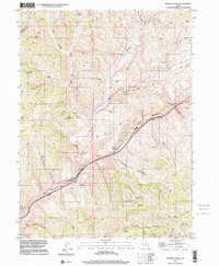
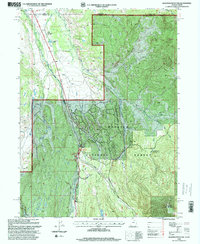
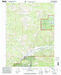
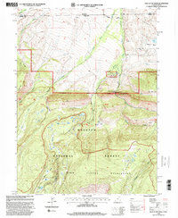
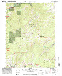
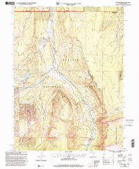
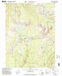
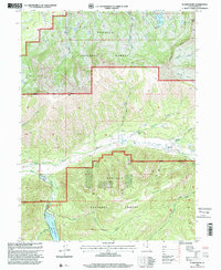
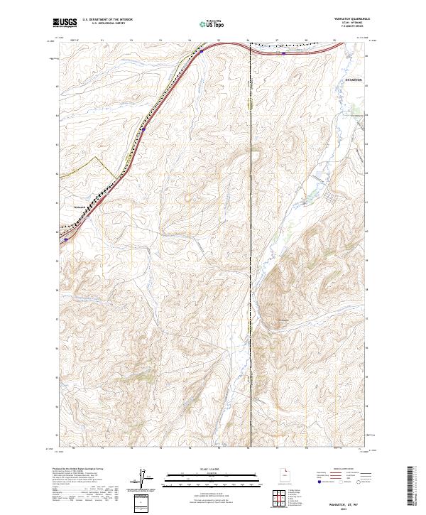
Castle Rock serves as the primary focal point of this northern Utah landscape, where the corridor of Echo Creek-Echo Canyon facilitates major transportation routes through the high desert terrain. The drainage patterns of the Summit County backcountry are meticulously documented, featuring numerous seasonal and perennial waterways including Huff Creek, Rees Creek, and Cache Cave Creek. The map details the complex topography of the Wasatch Range foothills, illustrating the deep incisions of Ellis Canyon and Stag Canyon as they descend from prominent heights like Porcupine Ridge. This 2023 survey provides a contemporary view of land use, showing the intersection of modern ranching operations at Aspen Meadow Ranch Rd with the enduring physical geography of the Echo Canyon passage.
Find a feature on this map
14 named features on this map. Tap any name to fly to it.
Don’t see what you’re looking for? This feature index may not catch every label — zoom into the map to look around manually.
Map Details
Editions of this 2023 Castle Rock Map
This is the sole edition of this map. No revisions or reprints were ever made.
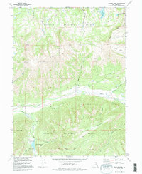
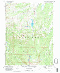
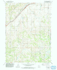
Historical Maps of Castle Rock Through Time
87 maps found
1901 Hayden Peak
Summit County, UT
1903 Hayden Peak
Summit County, UT
1955 Park City East
Summit County, UT
1955 Park City West
Summit County, UT
1964 Heiners Creek
Summit County, UT
1967 Bridger Lake
Summit County, UT
1967 Crandall Canyon
Summit County, UT
1967 Elizabeth Mtn
Summit County, UT
1967 Gilbert Peak NE
Summit County, UT
1967 Hole In The Rock
Summit County, UT
1967 Hoop Lake
Summit County, UT
1967 Lyman Lake
Summit County, UT
1967 Mount Lovenia
Summit County, UT
1967 Mount Powell
Summit County, UT
1967 Red Knob
Summit County, UT
1967 Turner Hollow
Summit County, UT
1967 Upton
Summit County, UT
1968 Castle Rock
Summit County, UT
1968 Porcupine Ridge
Summit County, UT
1968 Wahsatch
Summit County, UT
1972 Christmas Meadows
Summit County, UT
1972 Deadman Mountain
Summit County, UT
1972 Erickson Basin
Summit County, UT
1972 Hidden Lake
Summit County, UT
1972 Hoyt Peak
Summit County, UT
1972 Mirror Lake
Summit County, UT
1972 Red Hole
Summit County, UT
1972 Seven Tree Flat
Summit County, UT
1972 Slader Basin
Summit County, UT
1972 Whitney Reservoir
Summit County, UT
1991 Castle Rock
Summit County, UT
1991 Heiners Creek
Summit County, UT
1991 Mirror Lake
Summit County, UT
1991 Porcupine Ridge
Summit County, UT
1991 Wahsatch
Summit County, UT
1996 Hoop Lake
Summit County, UT
1996 Mount Lovenia
Summit County, UT
1996 Mount Powell
Summit County, UT
1996 Red Knob
Summit County, UT

1997 Crandall Canyon
Summit County, UT
1997 Heiners Creek
Summit County, UT
1997 Turner Hollow
Summit County, UT
1998 Bridger Lake
Summit County, UT
1998 Christmas Meadows
Summit County, UT
1998 Deadman Mountain
Summit County, UT
1998 Elizabeth Mountain
Summit County, UT
1998 Erickson Basin
Summit County, UT
1998 Gilbert Peak NE
Summit County, UT
1998 Hidden Lake
Summit County, UT
1998 Hole In The Rock
Summit County, UT
1998 Hoyt Peak
Summit County, UT
1998 Lyman Lake
Summit County, UT
1998 Mirror Lake
Summit County, UT
1998 Park City West
Summit County, UT
1998 Red Hole
Summit County, UT
1998 Seven Tree Flat
Summit County, UT
1998 Slader Basin
Summit County, UT
1998 Whitney Reservoir
Summit County, UT
1999 Park City East
Summit County, UT
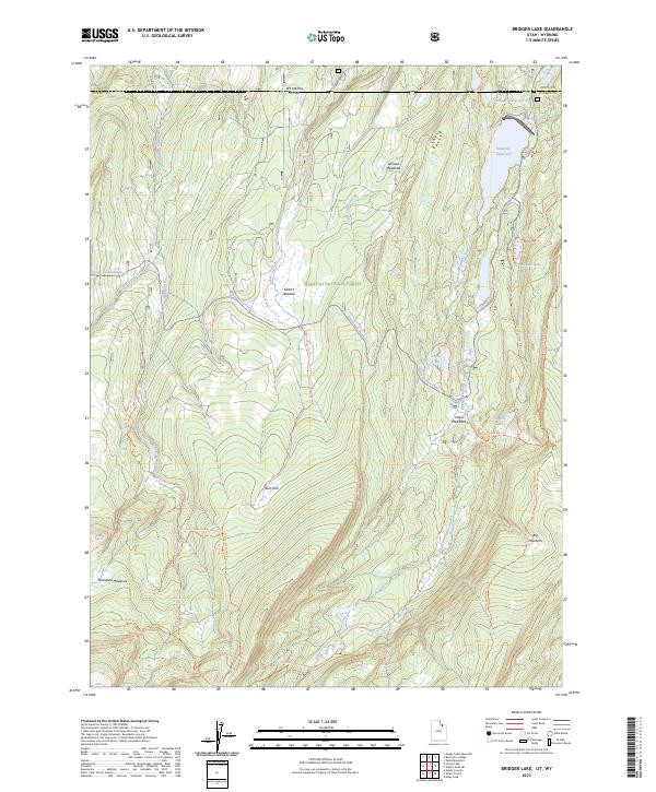
2023 Bridger Lake
Summit County, UT
2023 Castle Rock
Summit County, UT
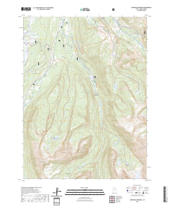
2023 Christmas Meadows
Summit County, UT
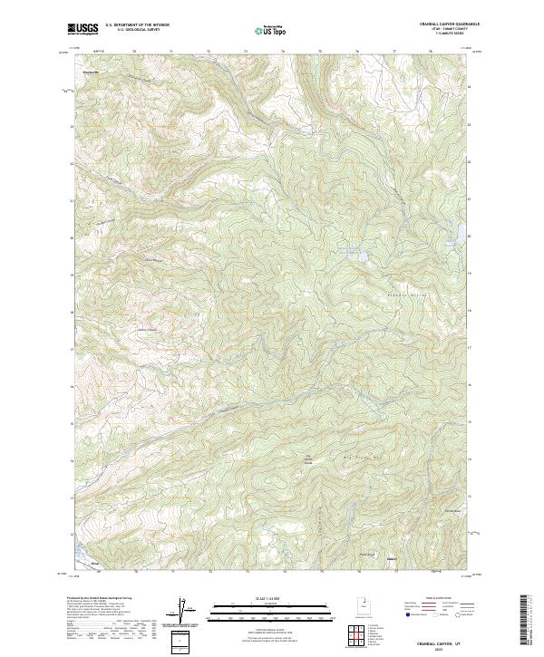
2023 Crandall Canyon
Summit County, UT
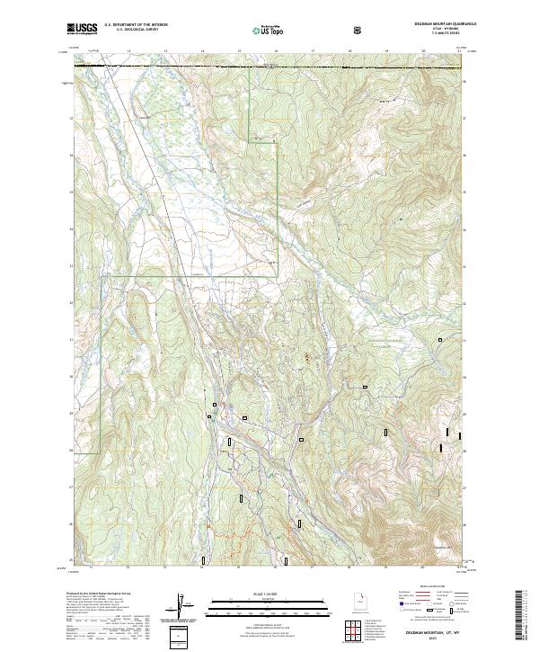
2023 Deadman Mountain
Summit County, UT
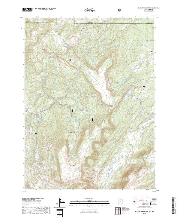
2023 Elizabeth Mountain
Summit County, UT
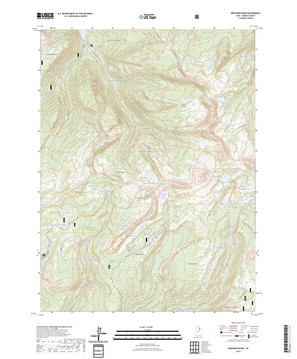
2023 Erickson Basin
Summit County, UT
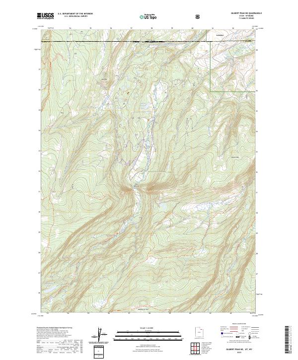
2023 Gilbert Peak NE
Summit County, UT
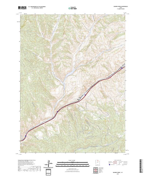
2023 Heiners Creek
Summit County, UT
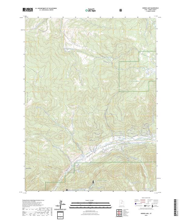
2023 Hidden Lake
Summit County, UT
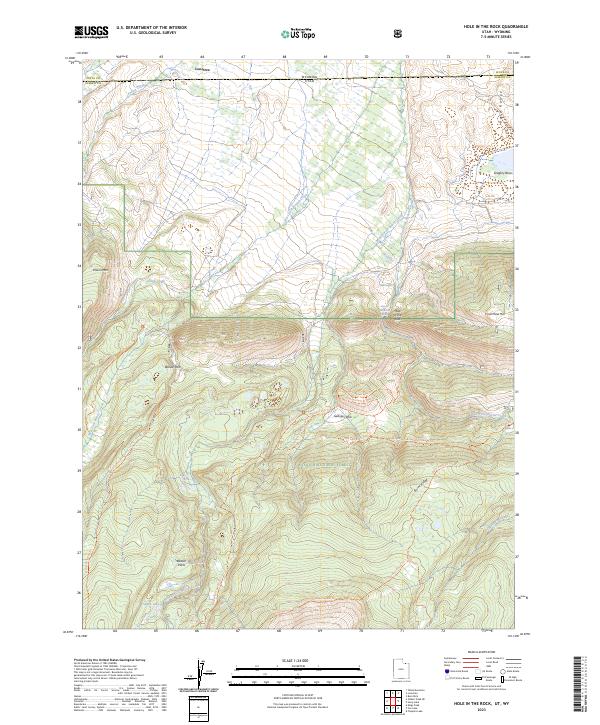
2023 Hole In The Rock
Summit County, UT
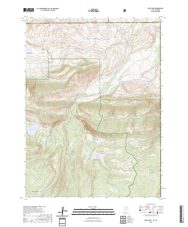
2023 Hoop Lake
Summit County, UT
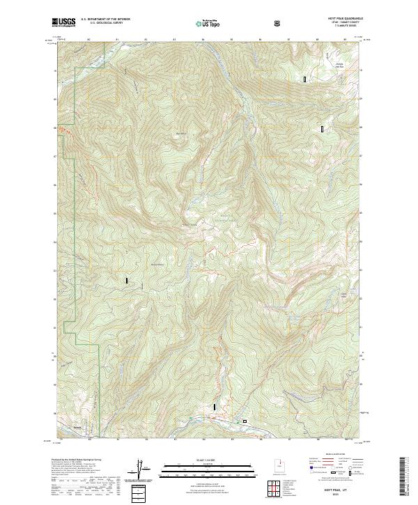
2023 Hoyt Peak
Summit County, UT
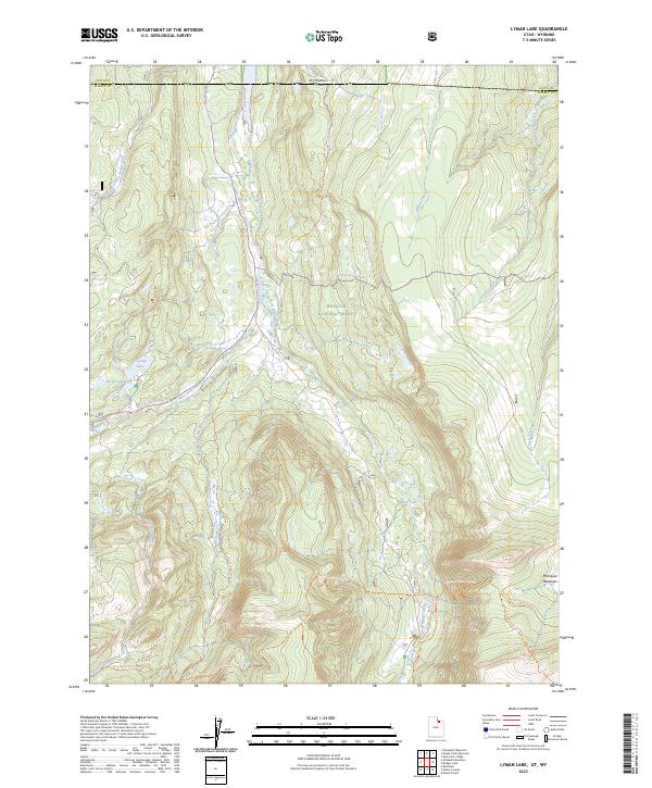
2023 Lyman Lake
Summit County, UT
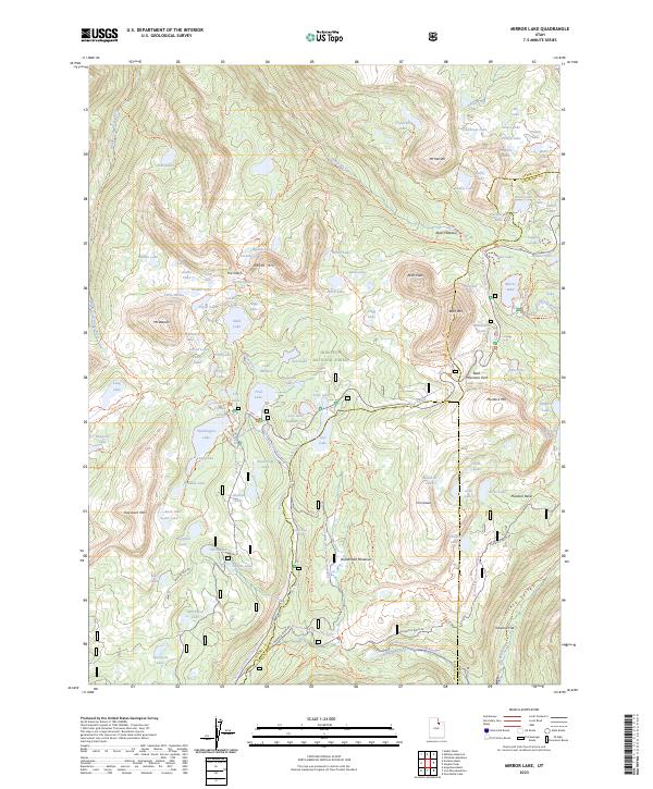
2023 Mirror Lake
Summit County, UT
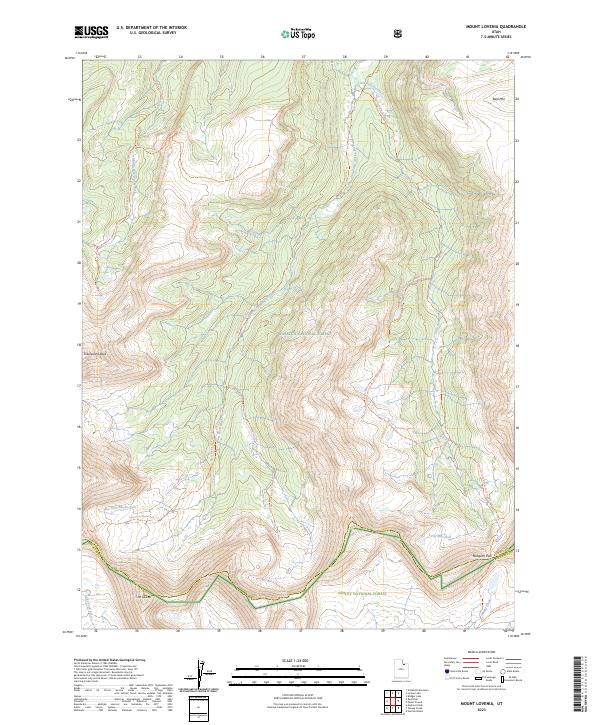
2023 Mount Lovenia
Summit County, UT
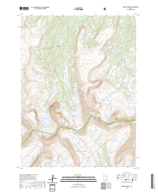
2023 Mount Powell
Summit County, UT
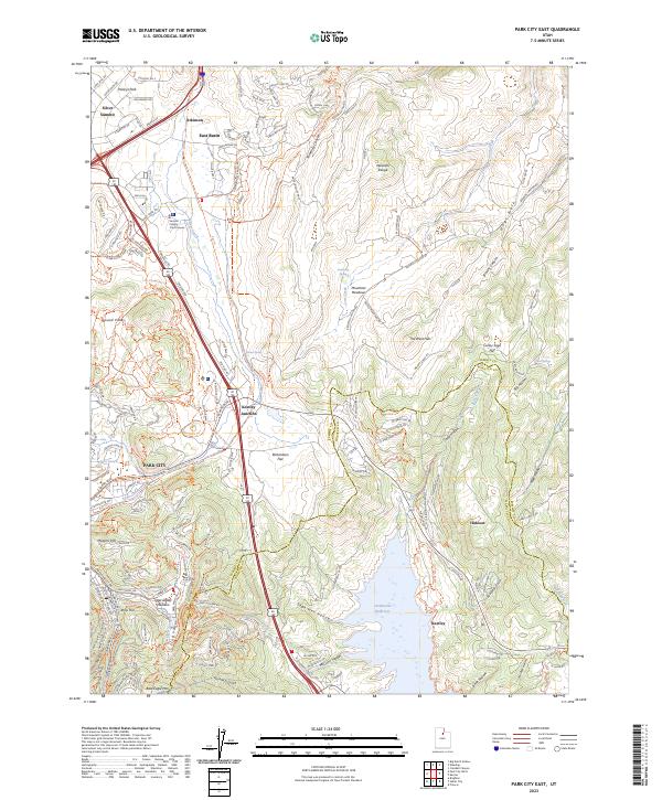
2023 Park City East
Summit County, UT
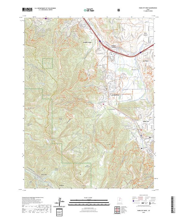
2023 Park City West
Summit County, UT
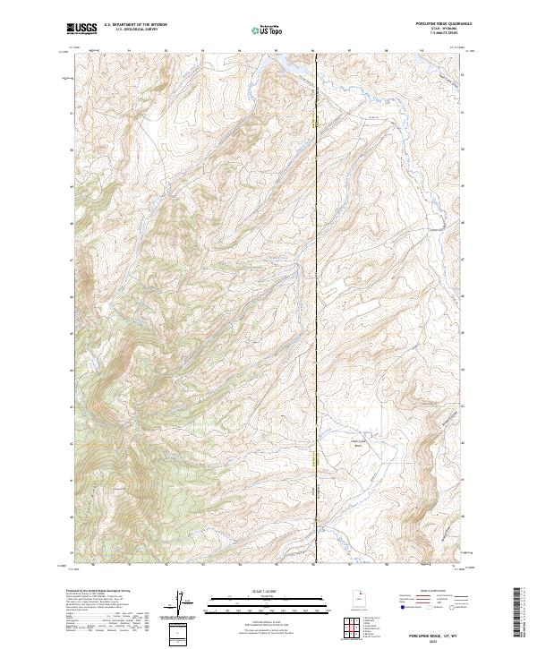
2023 Porcupine Ridge
Summit County, UT
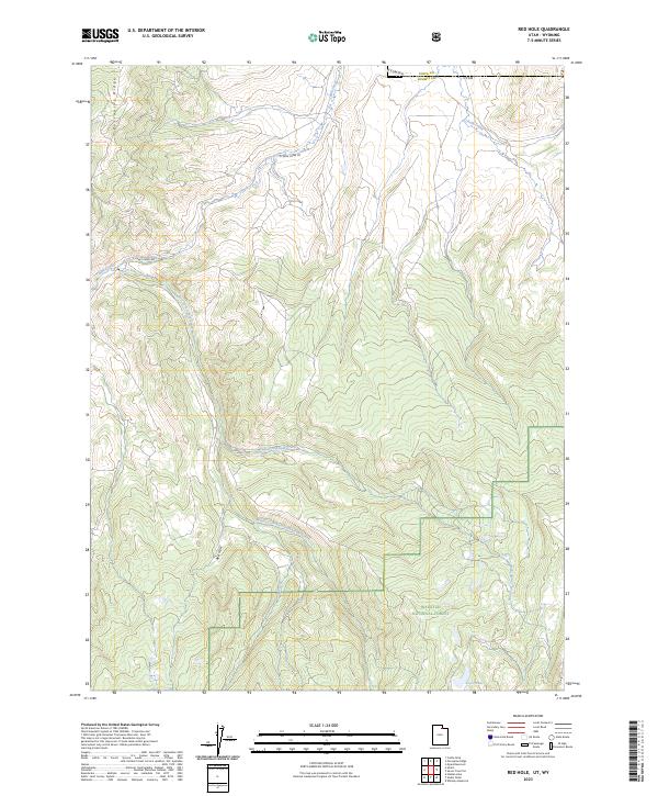
2023 Red Hole
Summit County, UT
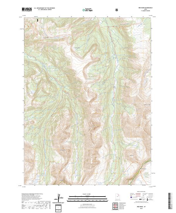
2023 Red Knob
Summit County, UT
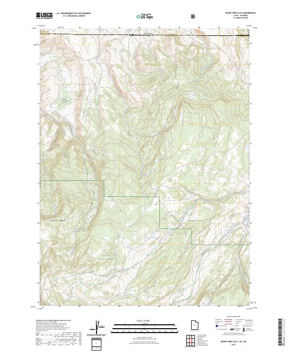
2023 Seven Tree Flat
Summit County, UT
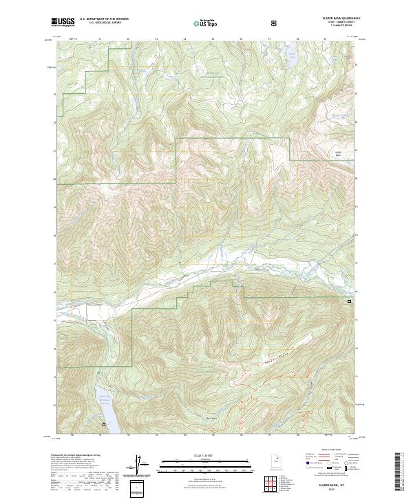
2023 Slader Basin
Summit County, UT
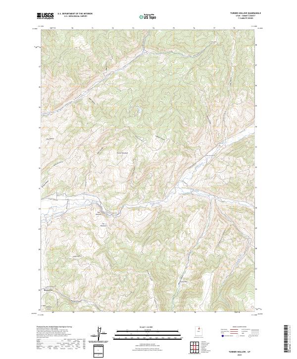
2023 Turner Hollow
Summit County, UT
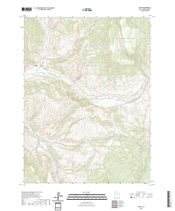
2023 Upton
Summit County, UT
2023 Wahsatch
Summit County, UT
2023 Whitney Reservoir
Summit County, UT