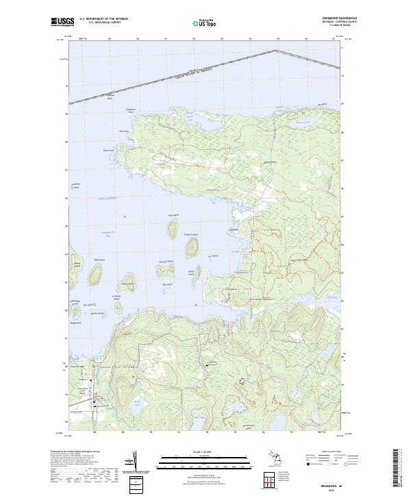
2023 Map of Drummond
USGS Topo · Published 2023About this map
Drummond Island marks a unique junction of maritime geography and international borders in northern Lake Huron. The terrain is characterized by the expansive Maxton Plains and a complex archipelago within Potagannissing Bay, including Harbor Island and Peck Island. The international boundary between the United States and Canada is clearly defined to the north, cutting across the open waters of the Chippewa Bank.
Find a feature on this map
77 named features on this map. Tap any name to fly to it.
Don’t see what you’re looking for? This feature index may not catch every label — zoom into the map to look around manually.
Map Details
Editions of this 2023 Drummond Map
This is the sole edition of this map. No revisions or reprints were ever made.
Historical Maps of Maxton Through Time
115 maps found

1913 Sault Sainte Marie
Chippewa County, MI

1919 Neebish
Chippewa County, MI

1931 Epoufette NE
Chippewa County, MI

1941 Neebish
Chippewa County, MI

1941 Sault Sainte Marie
Chippewa County, MI

1941 Strongs
Chippewa County, MI

1951 Baie De Wasai
Chippewa County, MI

1951 Barbeau
Chippewa County, MI

1951 Big Beaver Creek
Chippewa County, MI

1951 Dafter
Chippewa County, MI

1951 Dollar Settlement
Chippewa County, MI

1951 Eckerman
Chippewa County, MI

1951 Eckerman
Chippewa County, MI

1951 Emerson
Chippewa County, MI

1951 Hulbert
Chippewa County, MI

1951 Kinross
Chippewa County, MI

1951 Lake George
Chippewa County, MI

1951 McNearney Lake
Chippewa County, MI

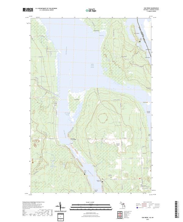
1951 Oak Ridge
Chippewa County, MI

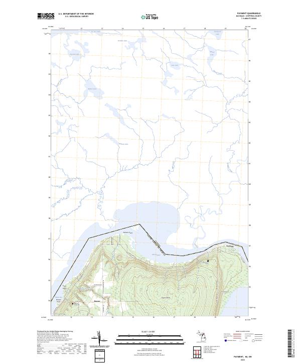
1951 Payment
Chippewa County, MI

1951 Pendills Lake
Chippewa County, MI

1951 Piatt Lake
Chippewa County, MI

1951 Raco
Chippewa County, MI

1951 Sault Ste. Marie South
Chippewa County, MI

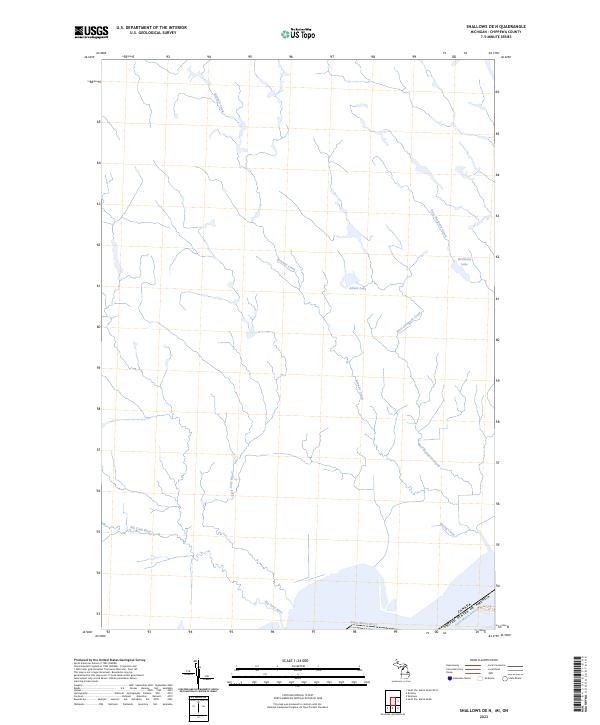
1951 Shallows
Chippewa County, MI

1951 Sheephead Lake
Chippewa County, MI

1951 Shelldrake
Chippewa County, MI

1951 Shelldrake
Chippewa County, MI

1951 Strongs
Chippewa County, MI

1951 Strongs
Chippewa County, MI

1951 Sullivan Creek
Chippewa County, MI

1951 Timberlost
Chippewa County, MI

1951 Vermilion
Chippewa County, MI

1951 Vermilion SE
Chippewa County, MI

1951 Whitefish Point
Chippewa County, MI

1953 Fibre
Chippewa County, MI

1953 Munuscong
Chippewa County, MI

1953 Munuscong NE
Chippewa County, MI

1953 Pickford
Chippewa County, MI

1953 Pickford NW
Chippewa County, MI

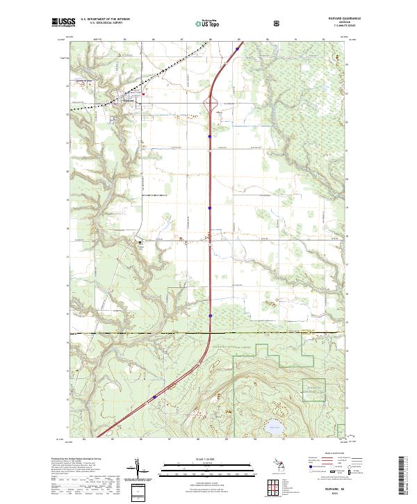
1953 Rudyard
Chippewa County, MI

1954 Sault Sainte Marie
Chippewa County, MI

1956 Sault Sainte Marie
Chippewa County, MI

1957 Sault Sainte Marie
Chippewa County, MI

1958 Sault Sainte Marie
Chippewa County, MI

1961 Blind River
Chippewa County, MI

1964 Albany Island
Chippewa County, MI

1964 Burnt Island
Chippewa County, MI

1964 Drummond
Chippewa County, MI

1964 Drummond SE
Chippewa County, MI

1964 Goetzville
Chippewa County, MI

1964 Lime Island
Chippewa County, MI

1964 Marble Head
Chippewa County, MI

1964 Meade Island
Chippewa County, MI

1964 Ozark
Chippewa County, MI

1964 Ozark NE
Chippewa County, MI

1964 Stalwart
Chippewa County, MI

1964 Trout Lake
Chippewa County, MI

1964 Whitney Bay
Chippewa County, MI

1968 Blind River
Chippewa County, MI

1984 Drummond
Chippewa County, MI

1984 Sault Ste. Marie South
Chippewa County, MI

1985 Sault Ste. Marie North
Chippewa County, MI

2023 Albany Island
Chippewa County, MI
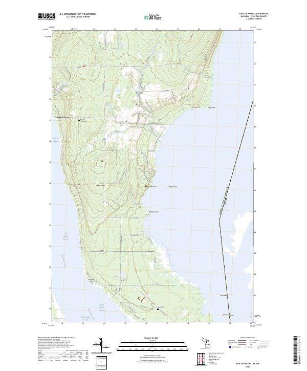
2023 Baie de Wasai
Chippewa County, MI

2023 Baie de Wasai OE E
Chippewa County, MI

2023 Barbeau
Chippewa County, MI

2023 Big Beaver Creek
Chippewa County, MI
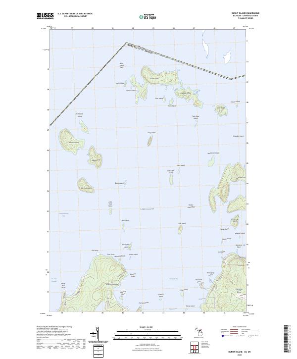
2023 Burnt Island
Chippewa County, MI
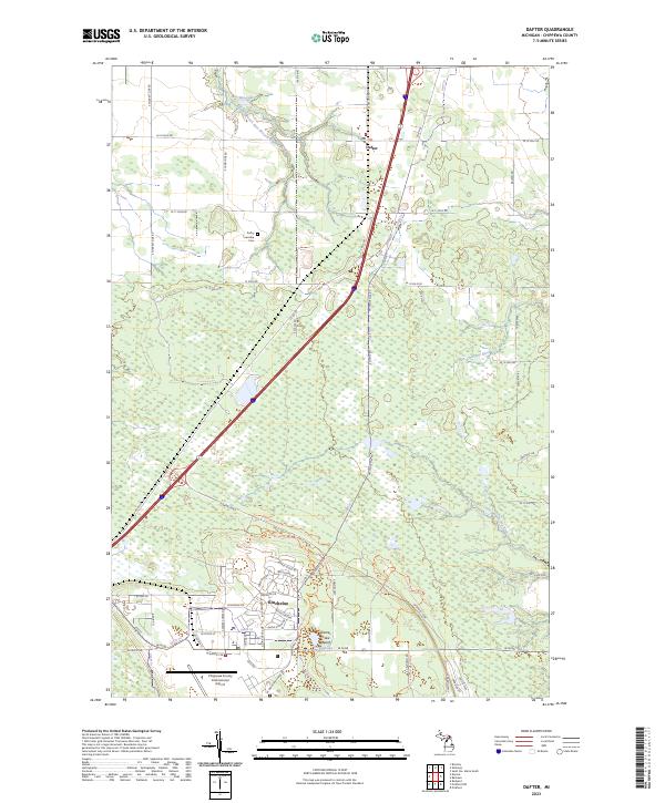
2023 Dafter
Chippewa County, MI

2023 Dollar Settlement
Chippewa County, MI
2023 Drummond
Chippewa County, MI
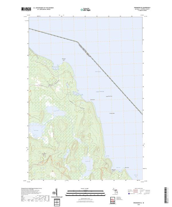
2023 Drummond SE
Chippewa County, MI

2023 Eckerman
Chippewa County, MI

2023 Emerson
Chippewa County, MI
2023 Emerson OE E
Chippewa County, MI

2023 Fibre
Chippewa County, MI

2023 Goetzville
Chippewa County, MI

2023 Hulbert
Chippewa County, MI
2023 Kinross
Chippewa County, MI
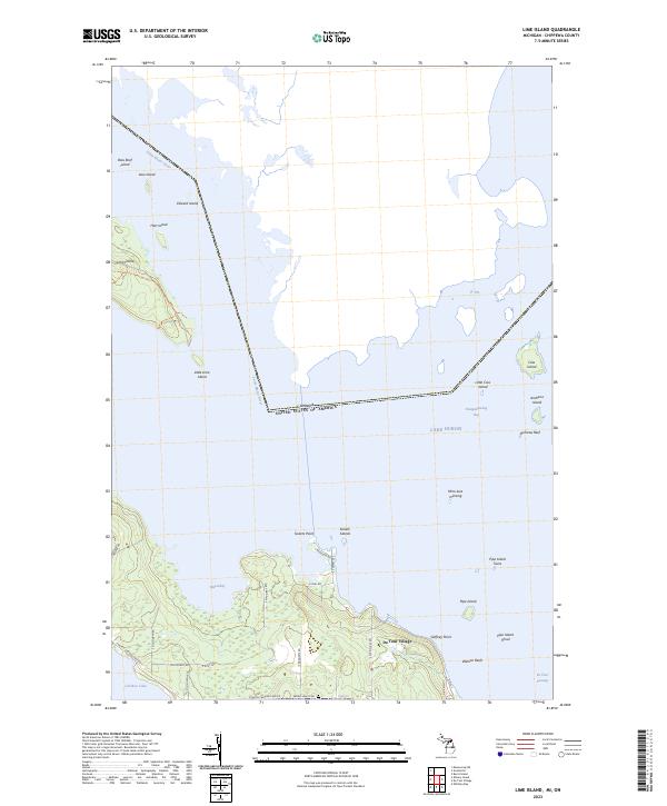
2023 Lime Island
Chippewa County, MI
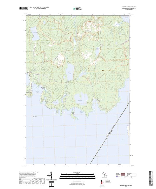
2023 Marble Head
Chippewa County, MI
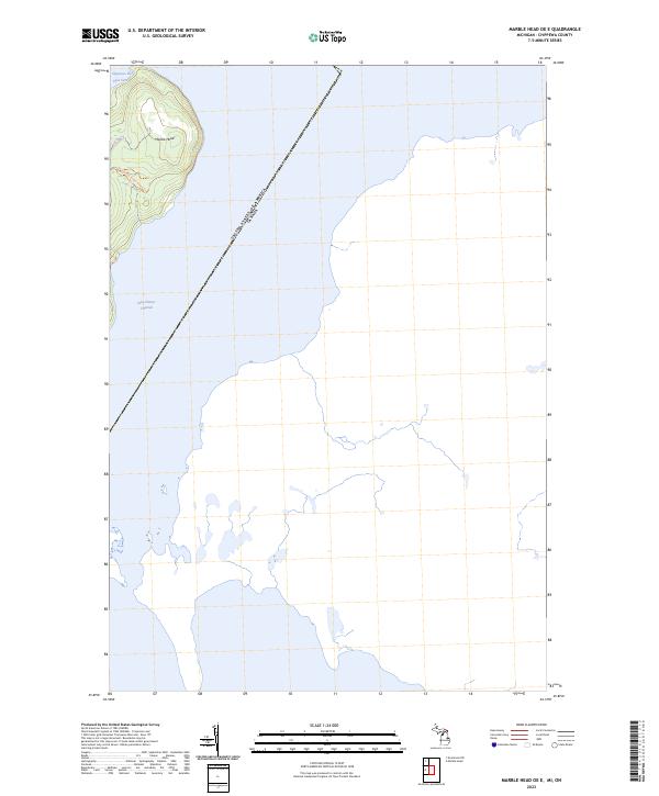
2023 Marble Head OE E
Chippewa County, MI

2023 McNearney Lake
Chippewa County, MI

2023 Meade Island
Chippewa County, MI
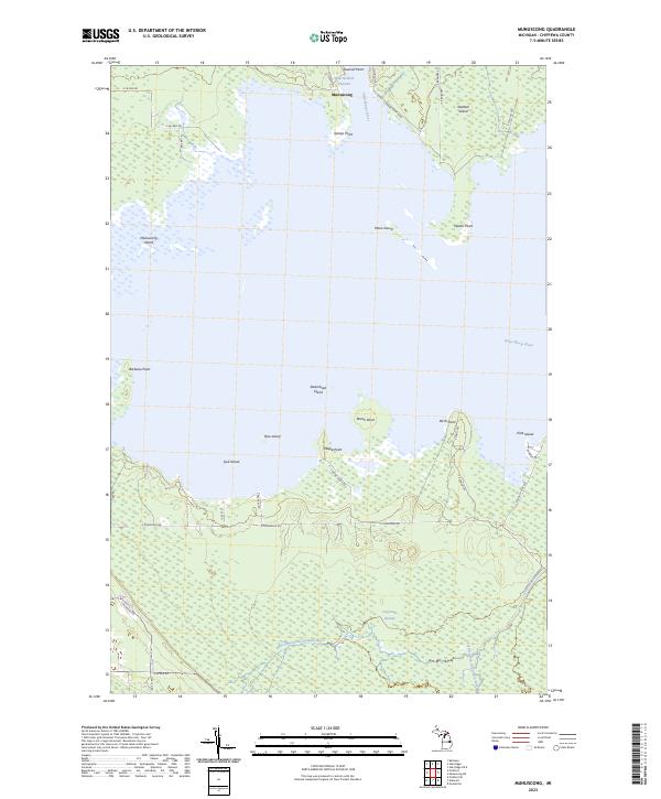
2023 Munuscong
Chippewa County, MI
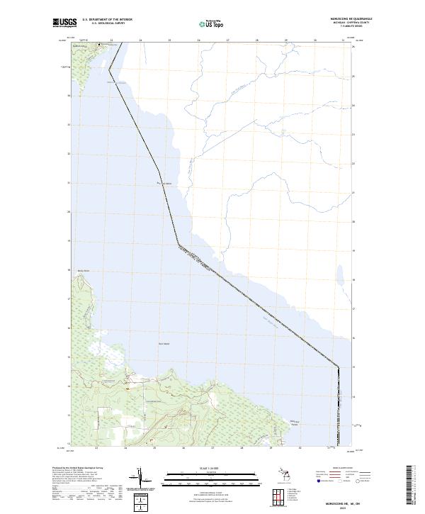
2023 Munuscong NE
Chippewa County, MI
2023 Oak Ridge
Chippewa County, MI

2023 Oak Ridge OE E
Chippewa County, MI

2023 Ozark
Chippewa County, MI

2023 Ozark NE
Chippewa County, MI
2023 Payment
Chippewa County, MI

2023 Payment OE E
Chippewa County, MI

2023 Pendills Lake
Chippewa County, MI

2023 Piatt Lake
Chippewa County, MI

2023 Pickford
Chippewa County, MI

2023 Pickford NW
Chippewa County, MI

2023 Raco
Chippewa County, MI
2023 Rudyard
Chippewa County, MI

2023 Sault Ste. Marie South
Chippewa County, MI

2023 Sault Ste. Marie South OE N
Chippewa County, MI

2023 Shallows
Chippewa County, MI
2023 Shallows OE N
Chippewa County, MI

2023 Sheephead Lake
Chippewa County, MI

2023 Shelldrake
Chippewa County, MI

2023 Stalwart
Chippewa County, MI

2023 Strongs
Chippewa County, MI

2023 Sullivan Creek
Chippewa County, MI

2023 Timberlost
Chippewa County, MI

2023 Trout Lake
Chippewa County, MI

2023 Vermilion
Chippewa County, MI

2023 Vermilion SE
Chippewa County, MI

2023 Whitefish Point
Chippewa County, MI

2023 Whitefish Point OE S
Chippewa County, MI

2023 Whitney Bay
Chippewa County, MI