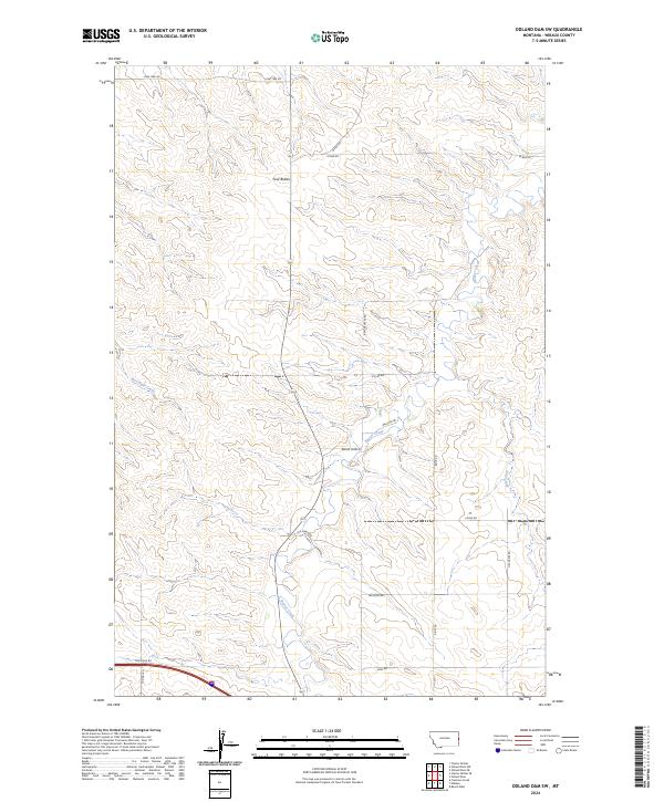
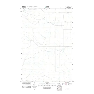
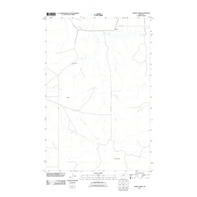
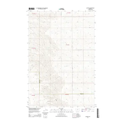
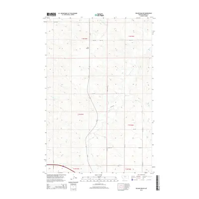
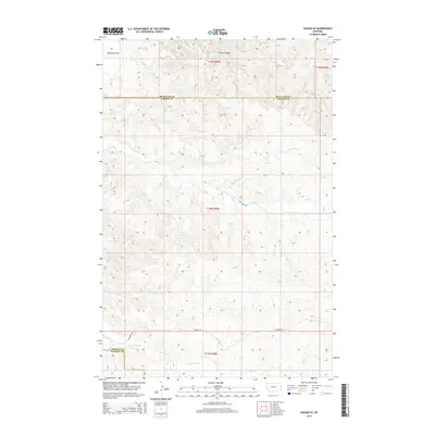
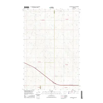
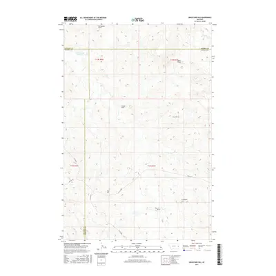
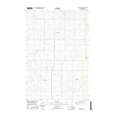
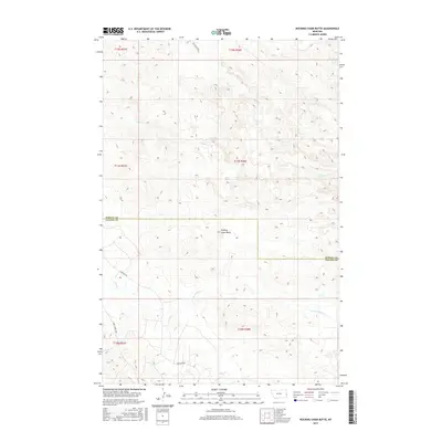
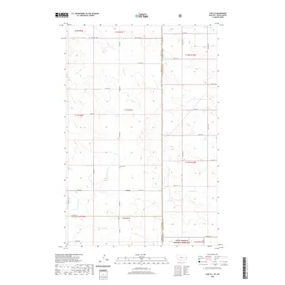
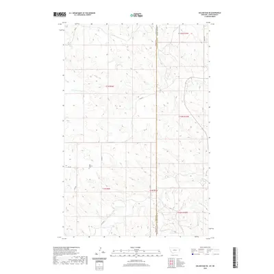
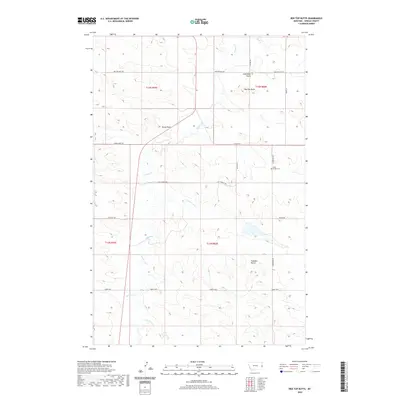
2024 Map of Odland Dam SW
USGS Topo · Published 2024About this map
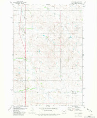
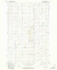
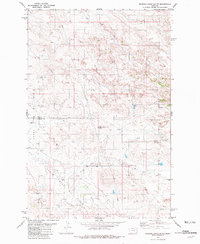
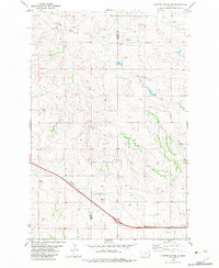
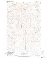
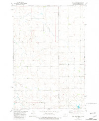
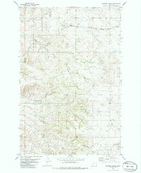
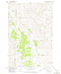
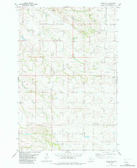
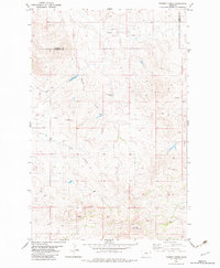
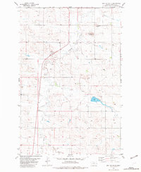
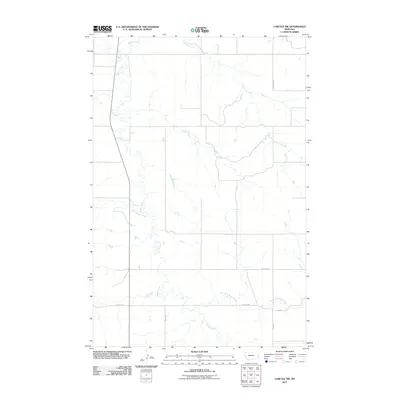
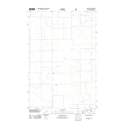
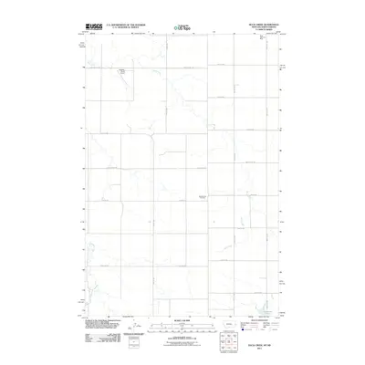
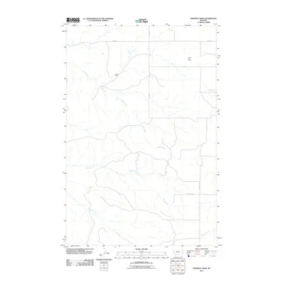
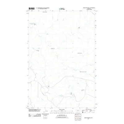
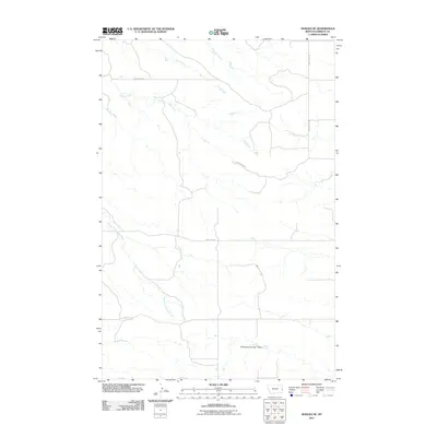
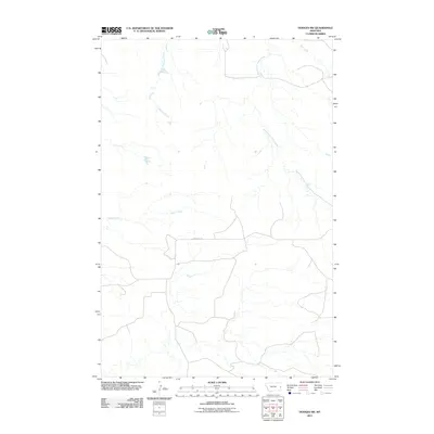
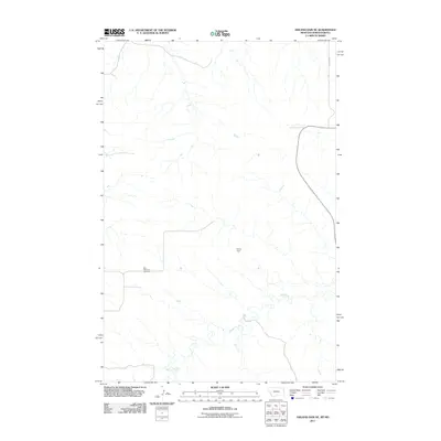
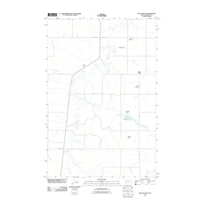
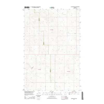
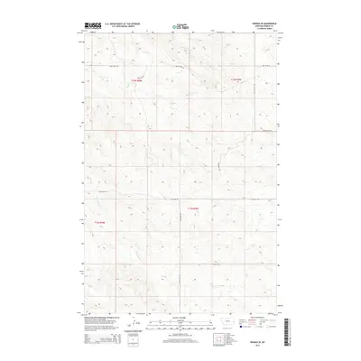
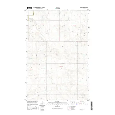
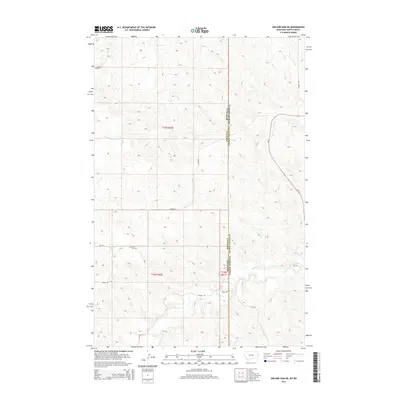
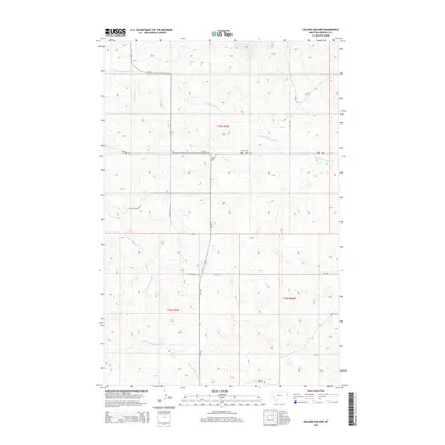
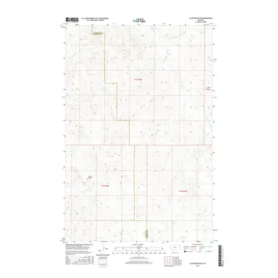
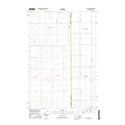
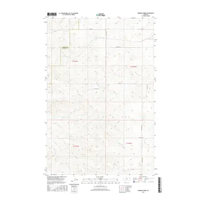
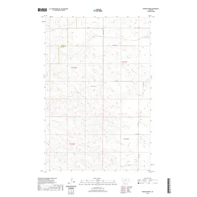
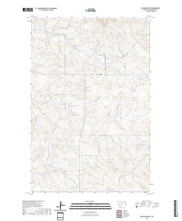
Four Buttes rises above the drainage networks of Wibaux County, defining the local topography in this corner of eastern Montana. The landscape is primarily shaped by the meandering paths of Beaver Creek, which flows centrally through the quadrangle, joined by tributaries such as Box Elder Creek and Hay Creek. These waterways dictate the historical placement of ranching roads and section lines, creating a distinct grid across the undulating terrain.
Find a feature on this map
24 named features on this map. Tap any name to fly to it.
Don’t see what you’re looking for? This feature index may not catch every label — zoom into the map to look around manually.
Map Details
Editions of this 2024 Odland Dam SW Map
This is the sole edition of this map. No revisions or reprints were ever made.
Historical Maps of Wibaux County Through Time
103 maps found
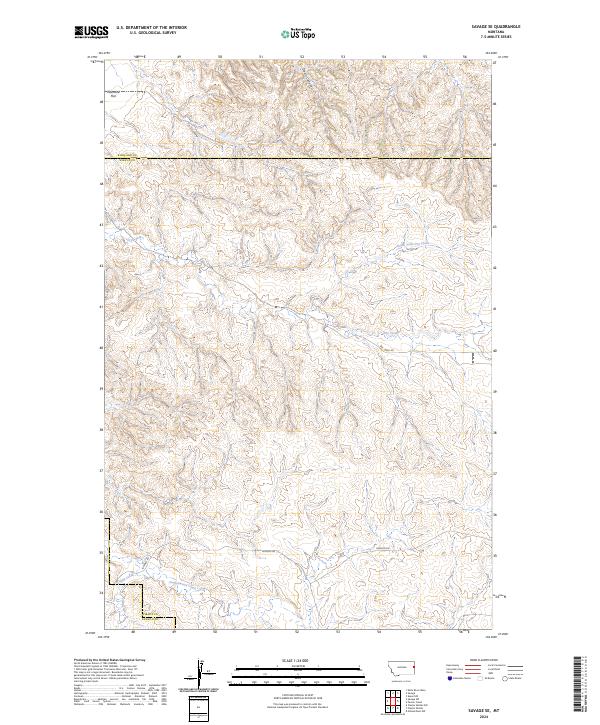
1966 Savage SE
Wibaux County, MT
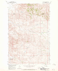
1974 Odland Dam NE
Wibaux County, MT
1981 Cap Rock
Wibaux County, MT
1981 Carlyle NW
Wibaux County, MT
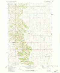
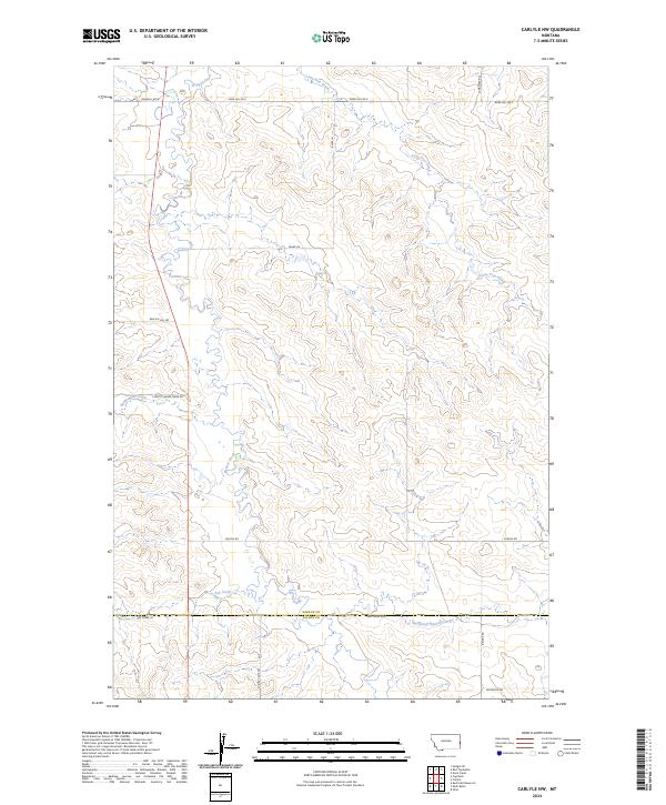
1981 Carlyle
Wibaux County, MT
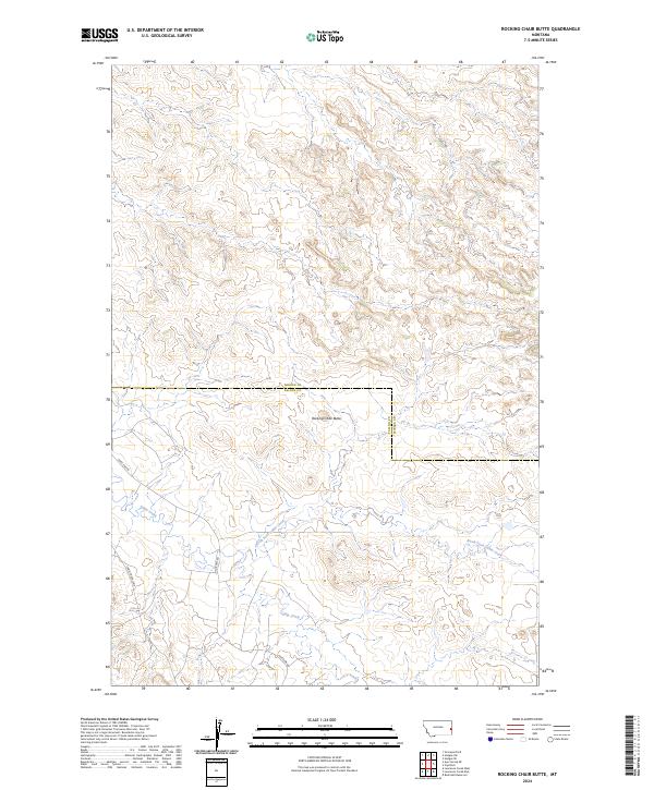
1981 Rocking Chair Butte
Wibaux County, MT
1982 Cluster Buttes SE
Wibaux County, MT
1982 Cluster Buttes
Wibaux County, MT
1982 Duck Creek
Wibaux County, MT
1982 Freeman Creek
Wibaux County, MT
1982 Graveyard Hill
Wibaux County, MT
1982 Hodges SE
Wibaux County, MT
1982 Hodges SW
Wibaux County, MT
1982 Odland Dam NW
Wibaux County, MT
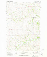
1982 Odland Dam SW
Wibaux County, MT
1982 Parson Creek
Wibaux County, MT
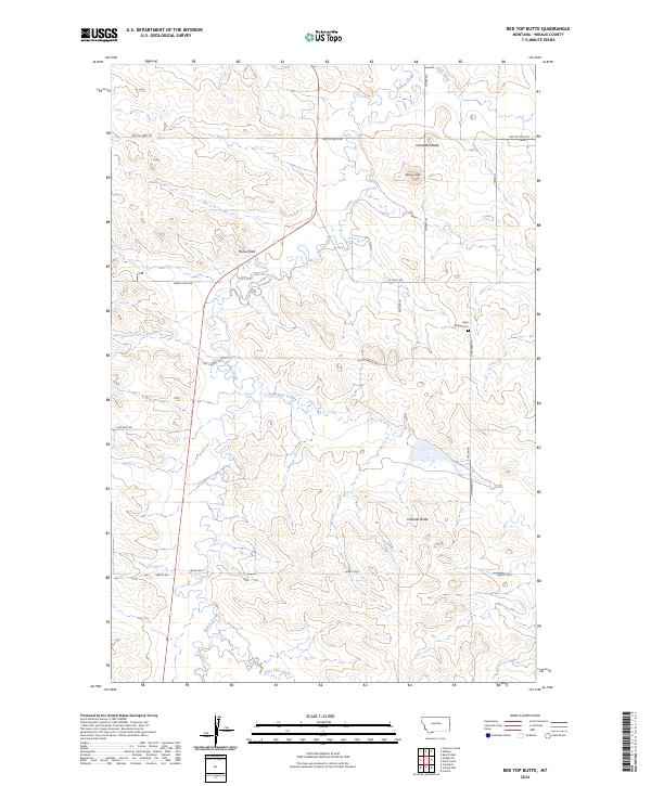
1982 Red Top Butte
Wibaux County, MT
1997 Carlyle
Wibaux County, MT
2011 Cap Rock
Wibaux County, MT
2011 Carlyle NW
Wibaux County, MT
2011 Carlyle
Wibaux County, MT
2011 Cluster Buttes SE
Wibaux County, MT
2011 Cluster Buttes
Wibaux County, MT
2011 Duck Creek
Wibaux County, MT
2011 Freeman Creek
Wibaux County, MT
2011 Graveyard Hill
Wibaux County, MT
2011 Hodges SE
Wibaux County, MT
2011 Hodges SW
Wibaux County, MT
2011 Odland Dam NE
Wibaux County, MT
2011 Odland Dam NW
Wibaux County, MT
2011 Odland Dam SW
Wibaux County, MT
2011 Parson Creek
Wibaux County, MT
2011 Red Top Butte
Wibaux County, MT
2011 Rocking Chair Butte
Wibaux County, MT
2011 Savage SE
Wibaux County, MT
2014 Cap Rock
Wibaux County, MT
2014 Carlyle NW
Wibaux County, MT
2014 Carlyle
Wibaux County, MT
2014 Cluster Buttes SE
Wibaux County, MT
2014 Cluster Buttes
Wibaux County, MT
2014 Duck Creek
Wibaux County, MT
2014 Freeman Creek
Wibaux County, MT
2014 Graveyard Hill
Wibaux County, MT
2014 Hodges SE
Wibaux County, MT
2014 Hodges SW
Wibaux County, MT
2014 Odland Dam NE
Wibaux County, MT
2014 Odland Dam NW
Wibaux County, MT
2014 Odland Dam SW
Wibaux County, MT
2014 Parson Creek
Wibaux County, MT
2014 Red Top Butte
Wibaux County, MT
2014 Rocking Chair Butte
Wibaux County, MT
2014 Savage SE
Wibaux County, MT
2017 Cap Rock
Wibaux County, MT
2017 Carlyle NW
Wibaux County, MT
2017 Carlyle
Wibaux County, MT
2017 Cluster Buttes SE
Wibaux County, MT
2017 Cluster Buttes
Wibaux County, MT
2017 Duck Creek
Wibaux County, MT
2017 Freeman Creek
Wibaux County, MT
2017 Graveyard Hill
Wibaux County, MT
2017 Hodges SE
Wibaux County, MT
2017 Hodges SW
Wibaux County, MT
2017 Odland Dam NE
Wibaux County, MT
2017 Odland Dam NW
Wibaux County, MT
2017 Odland Dam SW
Wibaux County, MT
2017 Parson Creek
Wibaux County, MT
2017 Red Top Butte
Wibaux County, MT
2017 Rocking Chair Butte
Wibaux County, MT
2017 Savage SE
Wibaux County, MT
2020 Cap Rock
Wibaux County, MT
2020 Carlyle NW
Wibaux County, MT
2020 Carlyle
Wibaux County, MT
2020 Cluster Buttes SE
Wibaux County, MT
2020 Cluster Buttes
Wibaux County, MT
2020 Duck Creek
Wibaux County, MT
2020 Freeman Creek
Wibaux County, MT
2020 Graveyard Hill
Wibaux County, MT
2020 Hodges SE
Wibaux County, MT
2020 Hodges SW
Wibaux County, MT
2020 Odland Dam NE
Wibaux County, MT
2020 Odland Dam NW
Wibaux County, MT
2020 Odland Dam SW
Wibaux County, MT
2020 Parson Creek
Wibaux County, MT
2020 Red Top Butte
Wibaux County, MT
2020 Rocking Chair Butte
Wibaux County, MT
2020 Savage SE
Wibaux County, MT
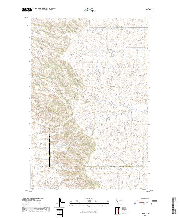
2024 Cap Rock
Wibaux County, MT
2024 Carlyle NW
Wibaux County, MT
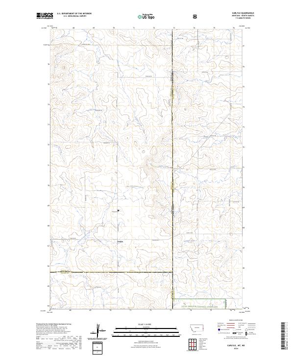
2024 Carlyle
Wibaux County, MT
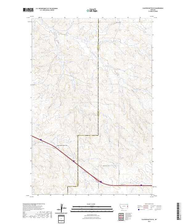
2024 Cluster Buttes SE
Wibaux County, MT
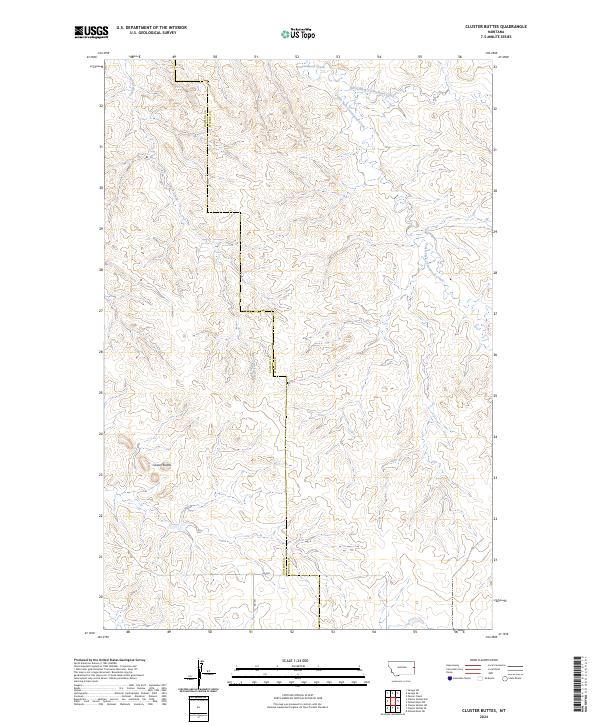
2024 Cluster Buttes
Wibaux County, MT
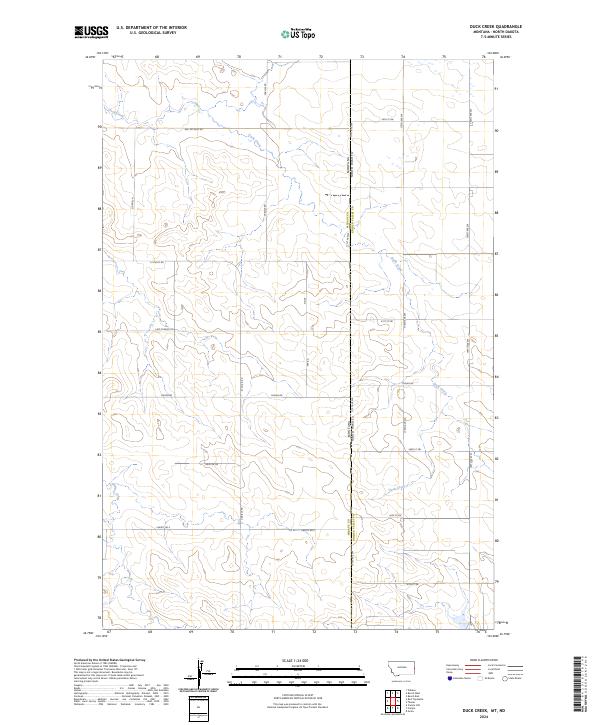
2024 Duck Creek
Wibaux County, MT
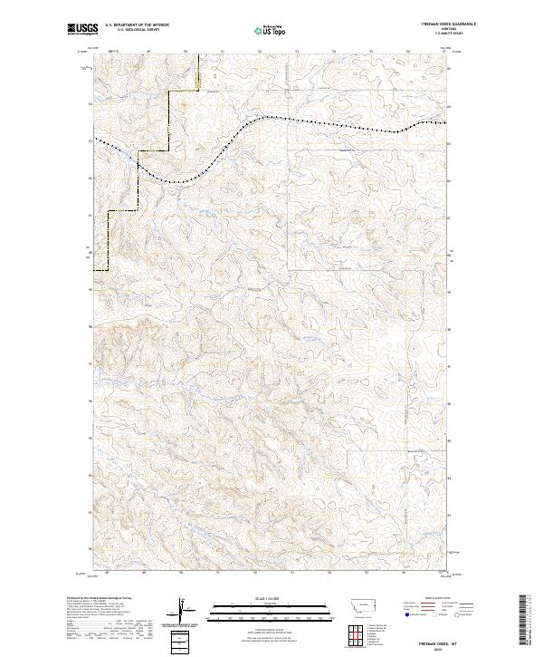
2024 Freeman Creek
Wibaux County, MT
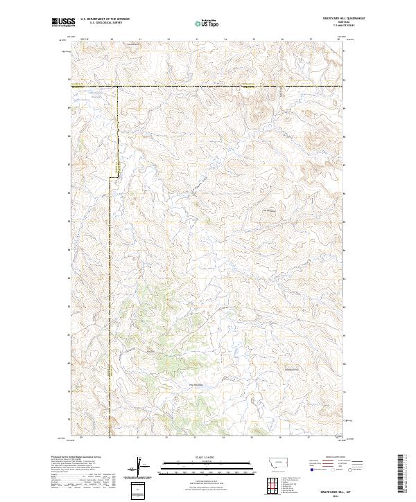
2024 Graveyard Hill
Wibaux County, MT
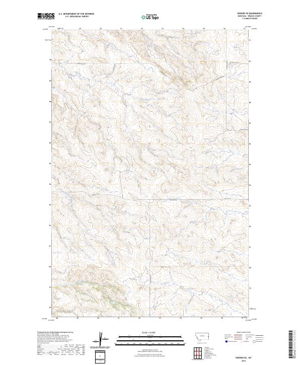
2024 Hodges SE
Wibaux County, MT
2024 Hodges SW
Wibaux County, MT
2024 Odland Dam NE
Wibaux County, MT
2024 Odland Dam NW
Wibaux County, MT
2024 Odland Dam SW
Wibaux County, MT
2024 Parson Creek
Wibaux County, MT
2024 Red Top Butte
Wibaux County, MT
2024 Rocking Chair Butte
Wibaux County, MT
2024 Savage SE
Wibaux County, MT