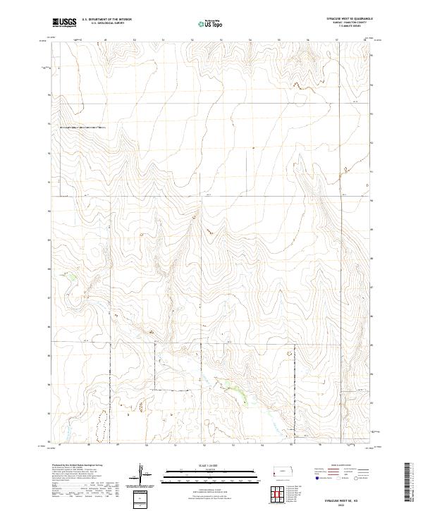
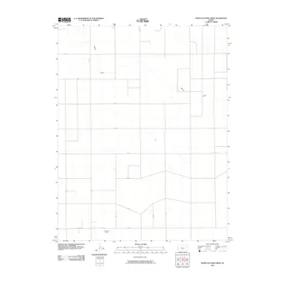
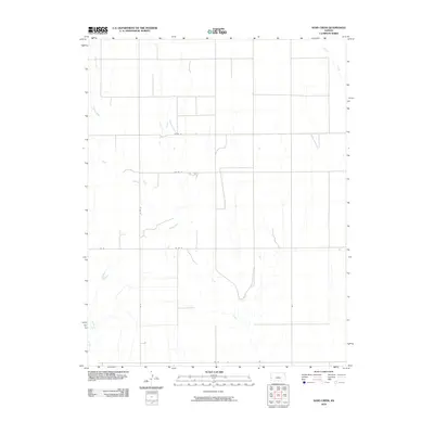
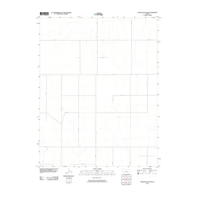
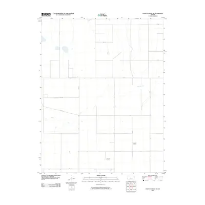
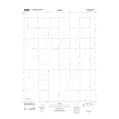
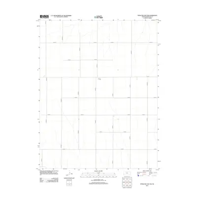
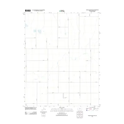
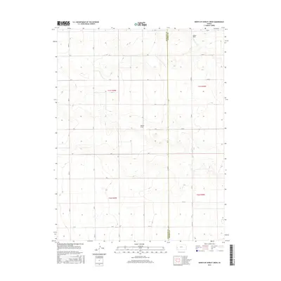
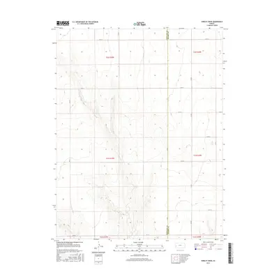
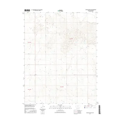
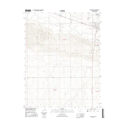
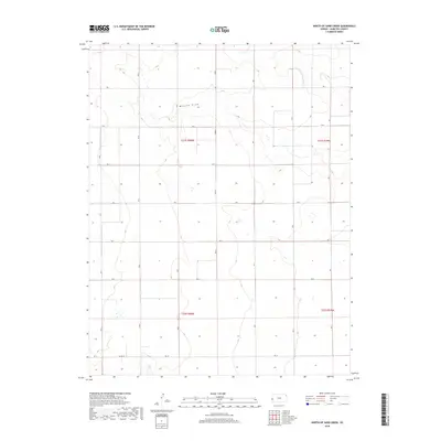
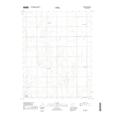
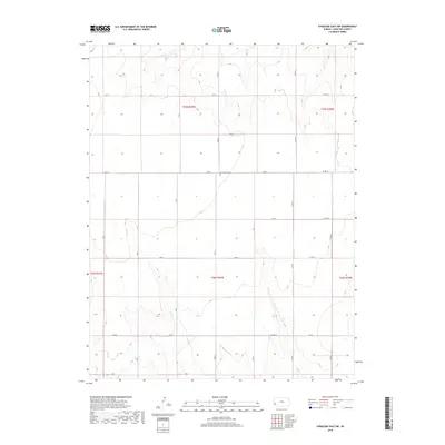
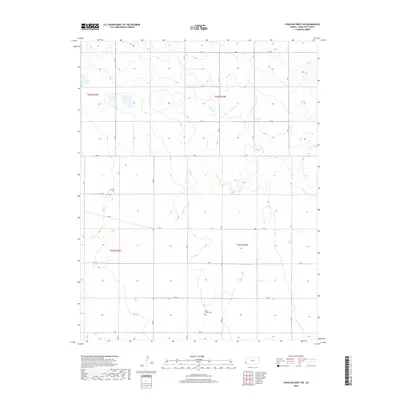
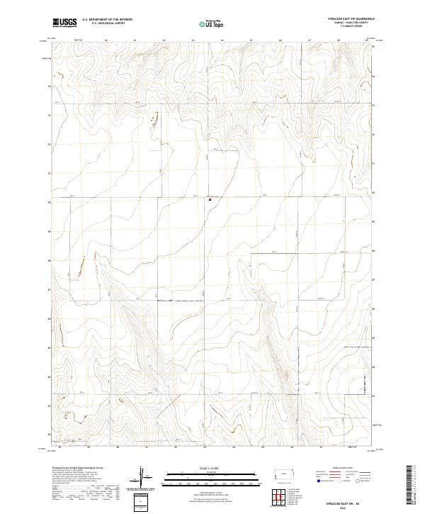
2022 Map of Syracuse West SE
USGS Topo · Published 2022About this map
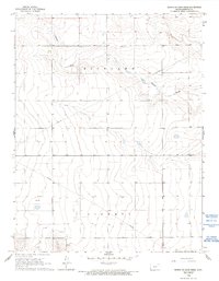
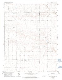
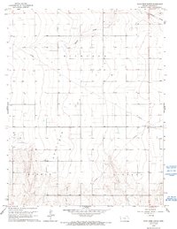
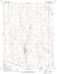
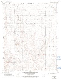
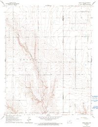
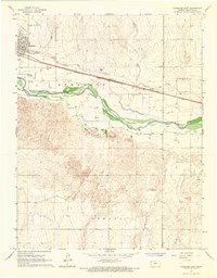
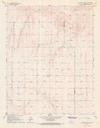
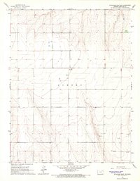
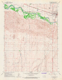
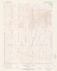
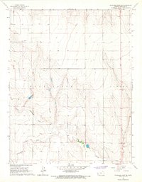
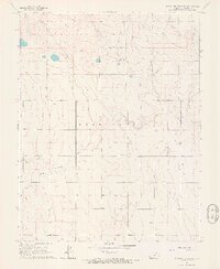
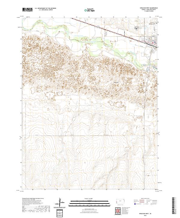
The High Plains of Hamilton County are defined by the intermittent drainage patterns of N Bear Cr and Little Bear Cr. This landscape is primarily structured by the Public Land Survey System, as seen in the prominent township and range boundaries including t25s r41w, t25s r40w, t26s r42w, and t26s r41w. These divisions dictated the orientation of the local road network, which follows section lines to provide access across the open terrain.
Find a feature on this map
12 named features on this map. Tap any name to fly to it.
Don’t see what you’re looking for? This feature index may not catch every label — zoom into the map to look around manually.
Map Details
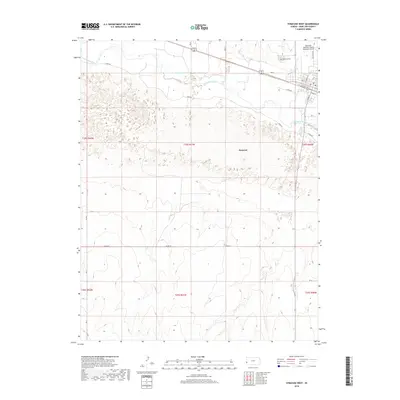
Editions of this 2022 Syracuse West SE Map
This is the sole edition of this map. No revisions or reprints were ever made.
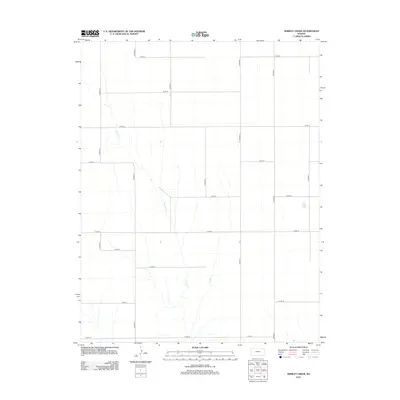
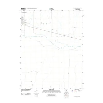
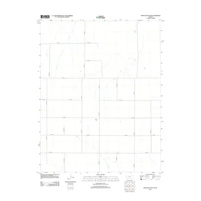
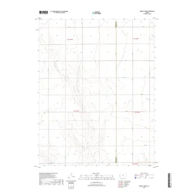
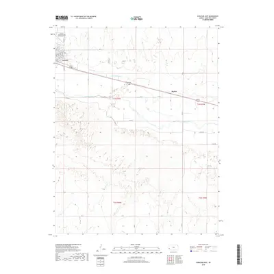
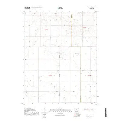
Historical Maps of Hamilton County Through Time
96 maps found
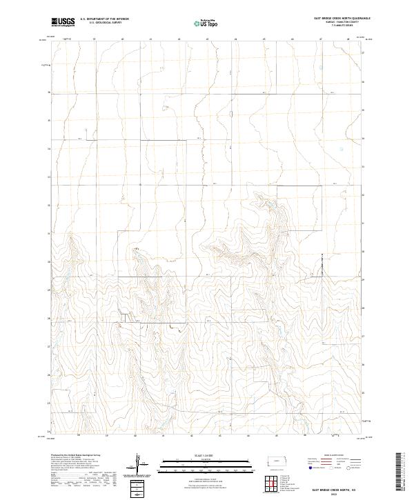
1966 East Bridge Creek North
Hamilton County, KS
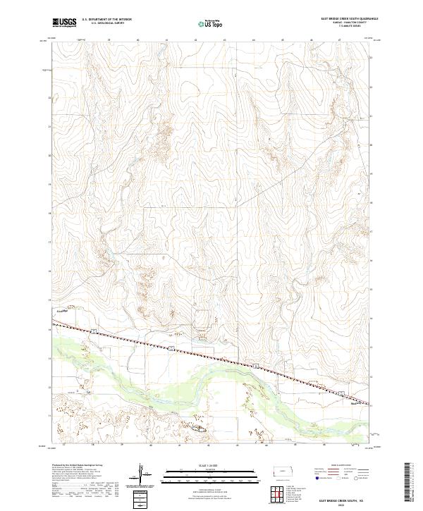
1966 East Bridge Creek South
Hamilton County, KS
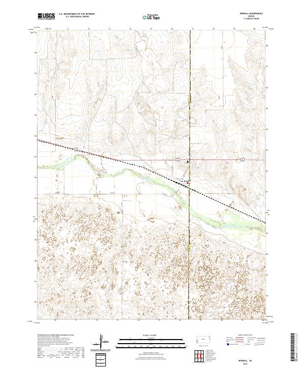
1966 Kendall
Hamilton County, KS
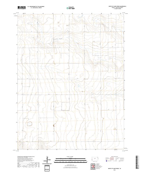
1966 North of Sand Creek
Hamilton County, KS
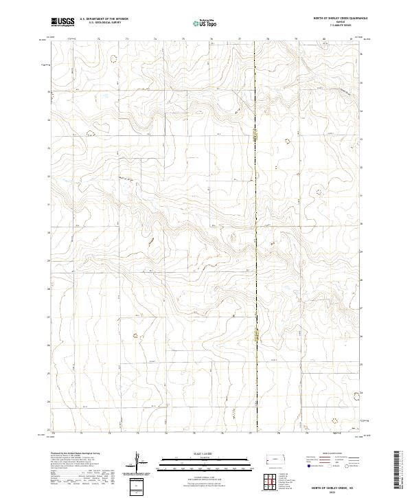
1966 North of Shirley Creek
Hamilton County, KS
1966 Plum Creek North
Hamilton County, KS
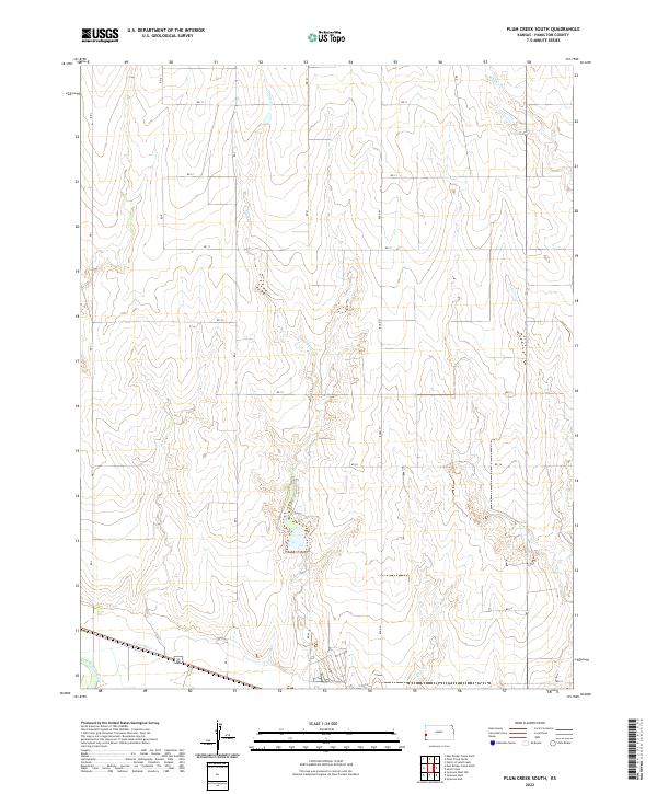
1966 Plum Creek South
Hamilton County, KS
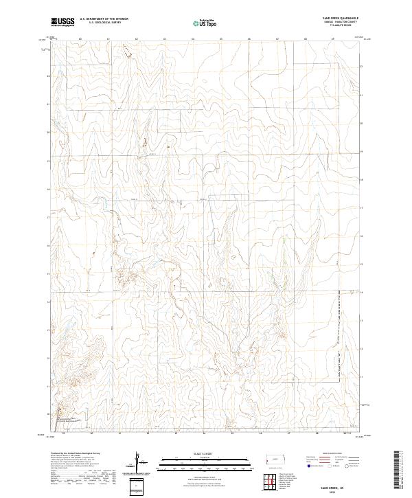
1966 Sand Creek
Hamilton County, KS
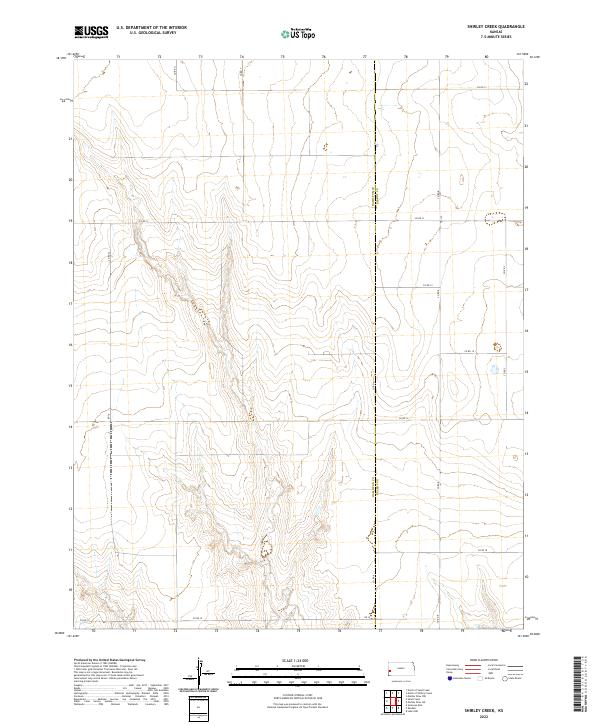
1966 Shirley Creek
Hamilton County, KS
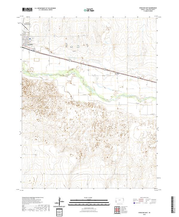
1966 Syracuse East
Hamilton County, KS
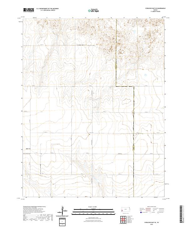
1966 Syracuse East SE
Hamilton County, KS
1966 Syracuse East SW
Hamilton County, KS
1966 Syracuse West
Hamilton County, KS
1966 Syracuse West NW
Hamilton County, KS
1966 Syracuse West SE
Hamilton County, KS
1966 Syracuse West SW
Hamilton County, KS
2010 East Bridge Creek North
Hamilton County, KS
2010 East Bridge Creek South
Hamilton County, KS
2010 Kendall
Hamilton County, KS
2010 North of Sand Creek
Hamilton County, KS
2010 North of Shirley Creek
Hamilton County, KS
2010 Plum Creek North
Hamilton County, KS
2010 Plum Creek South
Hamilton County, KS
2010 Sand Creek
Hamilton County, KS
2010 Shirley Creek
Hamilton County, KS
2010 Syracuse East
Hamilton County, KS
2010 Syracuse East SE
Hamilton County, KS
2010 Syracuse East SW
Hamilton County, KS
2010 Syracuse West
Hamilton County, KS
2010 Syracuse West NW
Hamilton County, KS
2010 Syracuse West SE
Hamilton County, KS
2010 Syracuse West SW
Hamilton County, KS
2012 East Bridge Creek North
Hamilton County, KS
2012 East Bridge Creek South
Hamilton County, KS
2012 Kendall
Hamilton County, KS
2012 North of Sand Creek
Hamilton County, KS
2012 North of Shirley Creek
Hamilton County, KS
2012 Plum Creek North
Hamilton County, KS
2012 Plum Creek South
Hamilton County, KS
2012 Sand Creek
Hamilton County, KS
2012 Shirley Creek
Hamilton County, KS
2012 Syracuse East
Hamilton County, KS
2012 Syracuse East SE
Hamilton County, KS
2012 Syracuse East SW
Hamilton County, KS
2012 Syracuse West
Hamilton County, KS
2012 Syracuse West NW
Hamilton County, KS
2012 Syracuse West SE
Hamilton County, KS
2012 Syracuse West SW
Hamilton County, KS
2015 East Bridge Creek North
Hamilton County, KS
2015 East Bridge Creek South
Hamilton County, KS
2015 North of Sand Creek
Hamilton County, KS
2015 North of Shirley Creek
Hamilton County, KS
2015 Plum Creek North
Hamilton County, KS
2015 Plum Creek South
Hamilton County, KS
2015 Sand Creek
Hamilton County, KS
2015 Shirley Creek
Hamilton County, KS
2015 Syracuse East
Hamilton County, KS
2015 Syracuse East SE
Hamilton County, KS
2015 Syracuse East SW
Hamilton County, KS
2015 Syracuse West NW
Hamilton County, KS
2015 Syracuse West SE
Hamilton County, KS
2015 Syracuse West SW
Hamilton County, KS
2016 Kendall
Hamilton County, KS
2016 Syracuse West
Hamilton County, KS
2018 East Bridge Creek North
Hamilton County, KS
2018 East Bridge Creek South
Hamilton County, KS
2018 Kendall
Hamilton County, KS
2018 North of Sand Creek
Hamilton County, KS
2018 North of Shirley Creek
Hamilton County, KS
2018 Plum Creek North
Hamilton County, KS
2018 Plum Creek South
Hamilton County, KS
2018 Sand Creek
Hamilton County, KS
2018 Shirley Creek
Hamilton County, KS
2018 Syracuse East
Hamilton County, KS
2018 Syracuse East SE
Hamilton County, KS
2018 Syracuse East SW
Hamilton County, KS
2018 Syracuse West
Hamilton County, KS
2018 Syracuse West NW
Hamilton County, KS
2018 Syracuse West SE
Hamilton County, KS
2018 Syracuse West SW
Hamilton County, KS
2022 East Bridge Creek North
Hamilton County, KS
2022 East Bridge Creek South
Hamilton County, KS
2022 Kendall
Hamilton County, KS
2022 North of Sand Creek
Hamilton County, KS
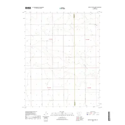
2022 North of Shirley Creek
Hamilton County, KS

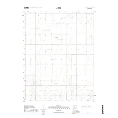
2022 Plum Creek North
Hamilton County, KS
2022 Plum Creek South
Hamilton County, KS
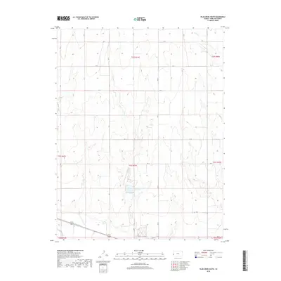
2022 Sand Creek
Hamilton County, KS
2022 Shirley Creek
Hamilton County, KS
2022 Syracuse East
Hamilton County, KS
2022 Syracuse East SE
Hamilton County, KS
2022 Syracuse East SW
Hamilton County, KS
2022 Syracuse West
Hamilton County, KS
2022 Syracuse West NW
Hamilton County, KS
2022 Syracuse West SE
Hamilton County, KS
2022 Syracuse West SW
Hamilton County, KS