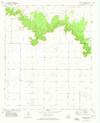
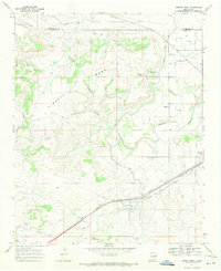
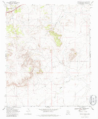
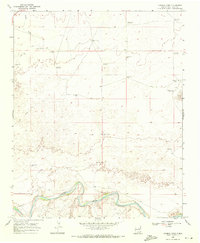
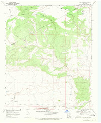
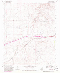
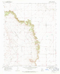
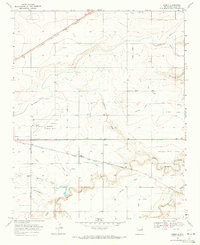
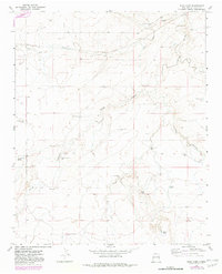
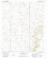
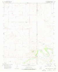
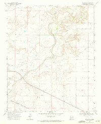
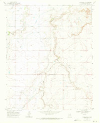
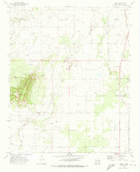
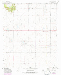
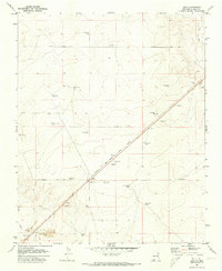
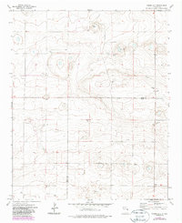
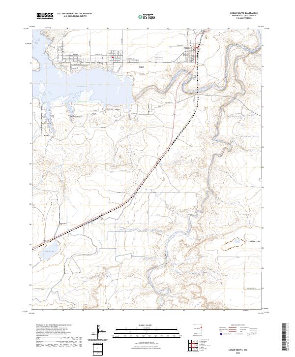
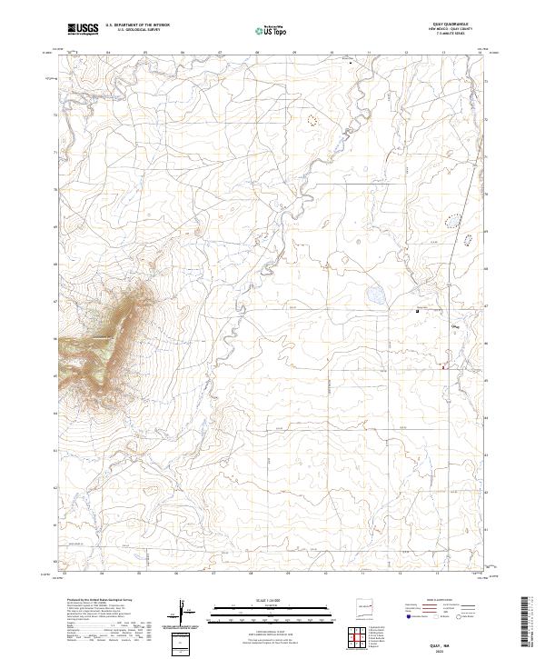
1971 Map of Wheatland
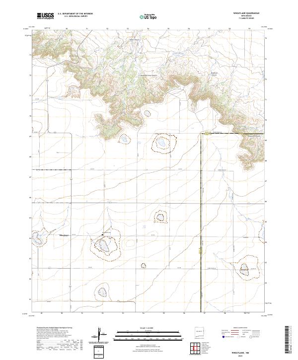
USGS Topo · Published 1974This historical map portrays the area of Wheatland in 1971, primarily covering Quay County as well as portions of Curry County. Featuring a scale of 1:24000, this map provides a highly detailed snapshot of the terrain, roads, buildings, counties, and historical landmarks in the Wheatland region at the time. Published in 1974, it is the sole known edition of this map.
Find a feature on this map
15 named features on this map. Tap any name to fly to it.
Don’t see what you’re looking for? This feature index may not catch every label — zoom into the map to look around manually.
Map Details
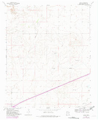
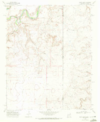
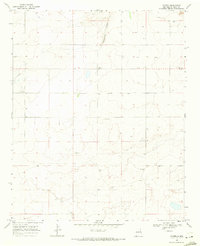
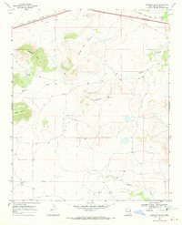
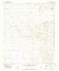
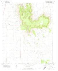
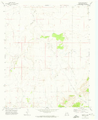
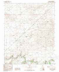
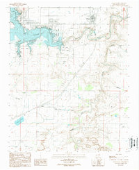
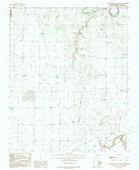
Editions of this 1971 Wheatland Map
This is the sole edition of this map. No revisions or reprints were ever made.
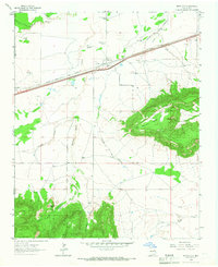
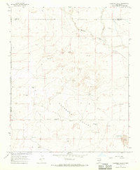
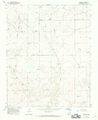
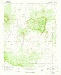
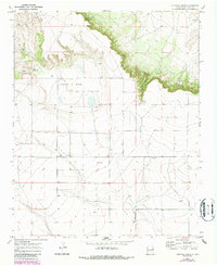
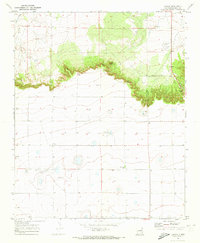
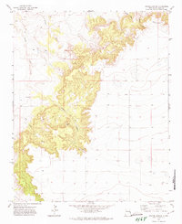
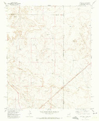
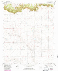
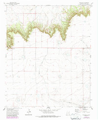
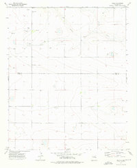
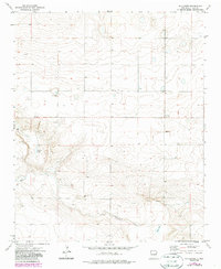
Historical Maps of Quay County Through Time
88 maps found
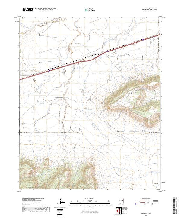
1964 Montoya
Quay County, NM
1966 Cherokee Valley
Quay County, NM
1966 Lockney
Quay County, NM
1967 Liberty Mesa
Quay County, NM
1968 Bard
Quay County, NM
1968 Bedford Hill
Quay County, NM
1968 Blue Hole
Quay County, NM
1968 Briscoe Ranch
Quay County, NM

1968 Bulldog Mesa
Quay County, NM
1968 Cammak Camp
Quay County, NM
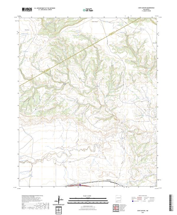
1968 Cow Canyon
Quay County, NM
1968 Glenrio
Quay County, NM
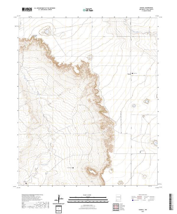
1968 Hassell
Quay County, NM
1968 Hudson
Quay County, NM
1968 Ima
Quay County, NM
1968 Ima SE
Quay County, NM
1968 Lesbia
Quay County, NM
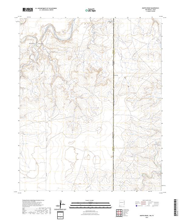
1968 Martin Draw
Quay County, NM
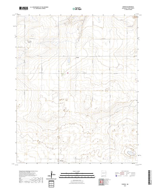
1968 Porter
Quay County, NM
1968 Quemado Hills
Quay County, NM
1968 Riley Camp
Quay County, NM
1968 Rock Camp
Quay County, NM
1968 Sanchez Springs
Quay County, NM
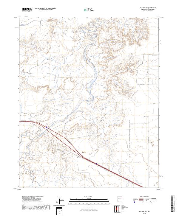
1968 San Jon NW
Quay County, NM
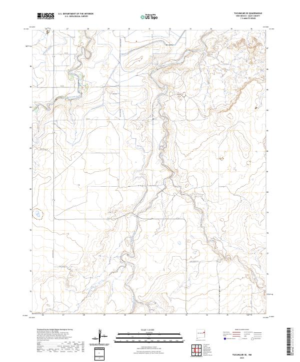
1968 Tucumcari SE
Quay County, NM
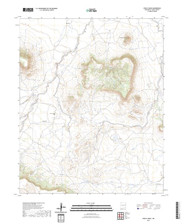
1970 Circles S Mesa
Quay County, NM
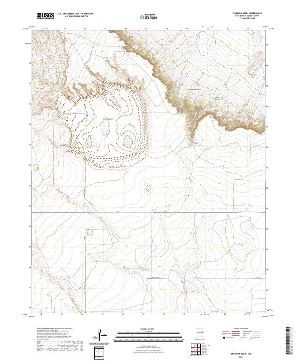
1970 Cunavea Basin
Quay County, NM
1970 Jordan
Quay County, NM
1970 Quay
Quay County, NM
1971 Apache Canyon
Quay County, NM
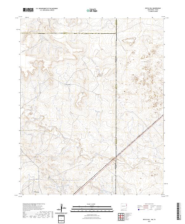
1971 Doyle Hill
Quay County, NM
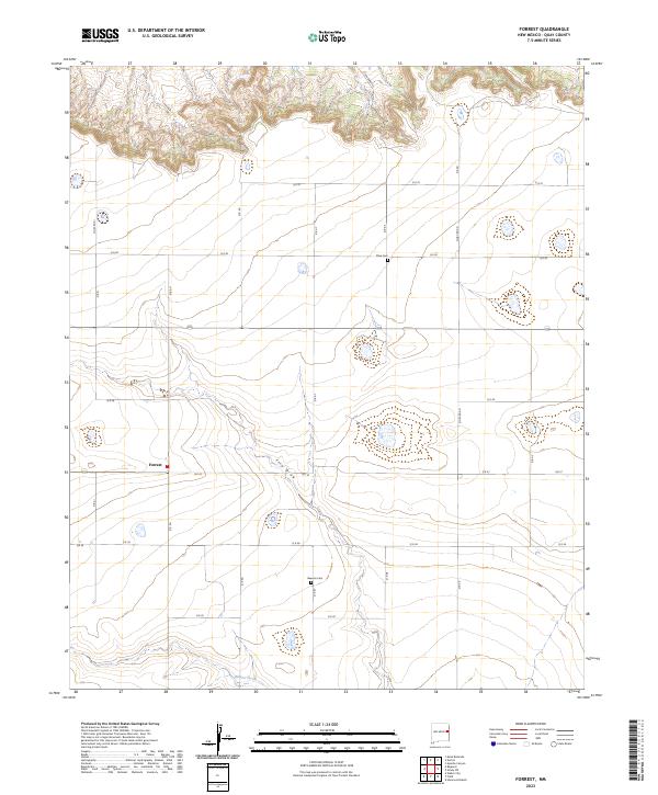
1971 Forrest
Quay County, NM
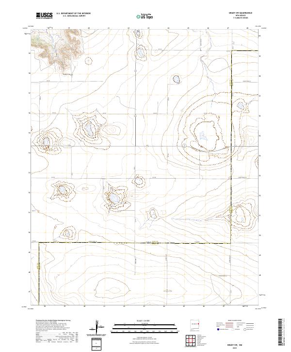
1971 Grady SW
Quay County, NM
1971 Kerlin Hill
Quay County, NM
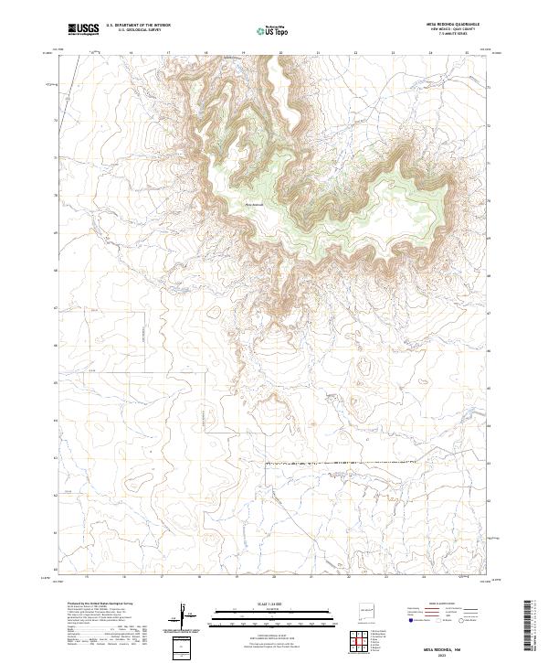
1971 Mesa Redonda
Quay County, NM
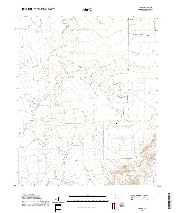
1971 Norton
Quay County, NM
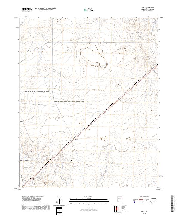
1971 Obar
Quay County, NM
1971 Ragland
Quay County, NM
1971 Wheatland
Quay County, NM
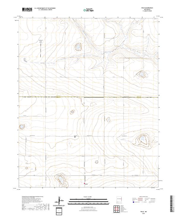
1973 Field
Quay County, NM
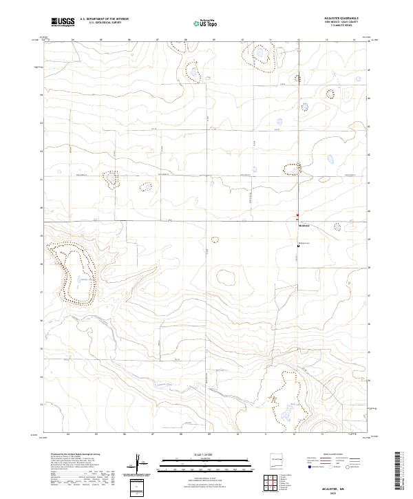
1973 Mc Alister
Quay County, NM
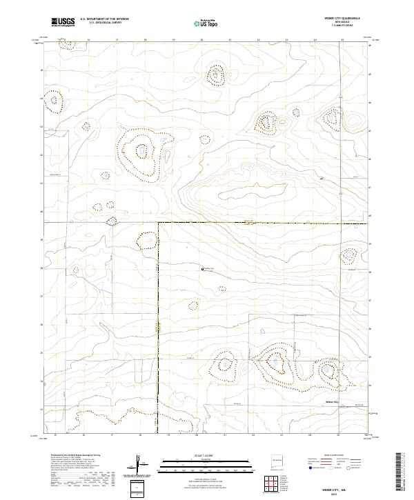
1973 Weber City
Quay County, NM
1989 Logan NE
Quay County, NM
1989 Logan South
Quay County, NM
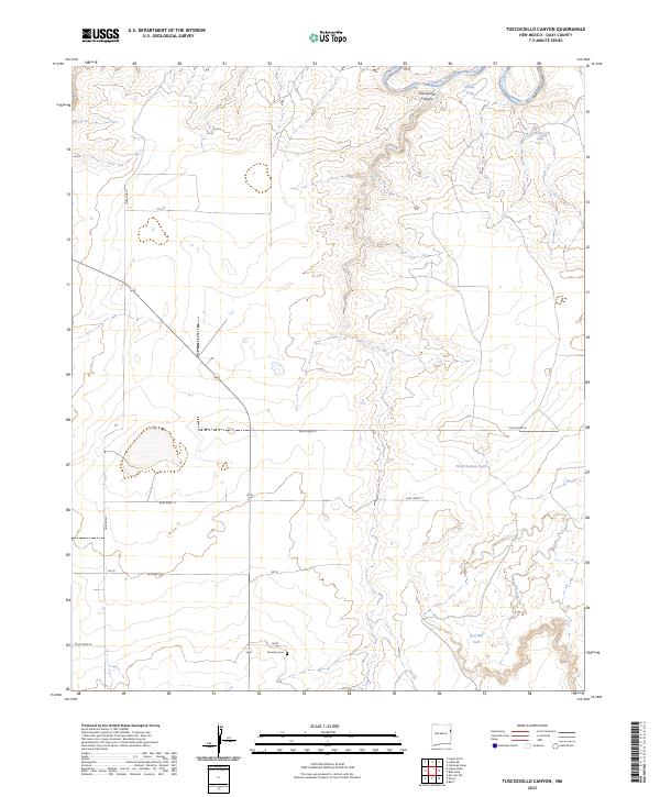
1989 Tuscocoillo Canyon
Quay County, NM
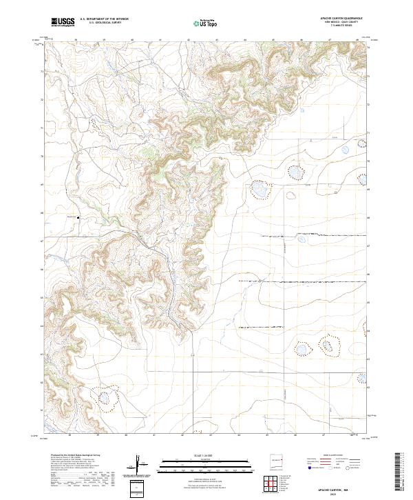
2023 Apache Canyon
Quay County, NM
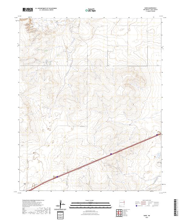
2023 Bard
Quay County, NM
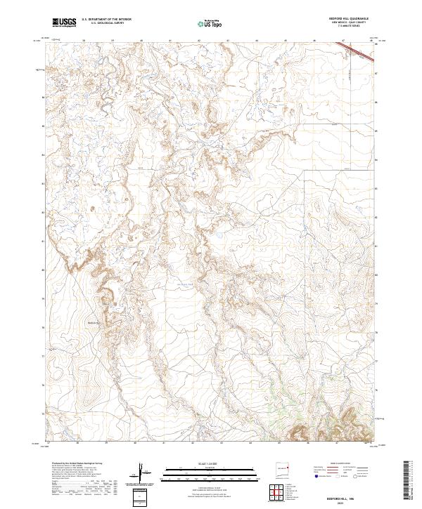
2023 Bedford Hill
Quay County, NM
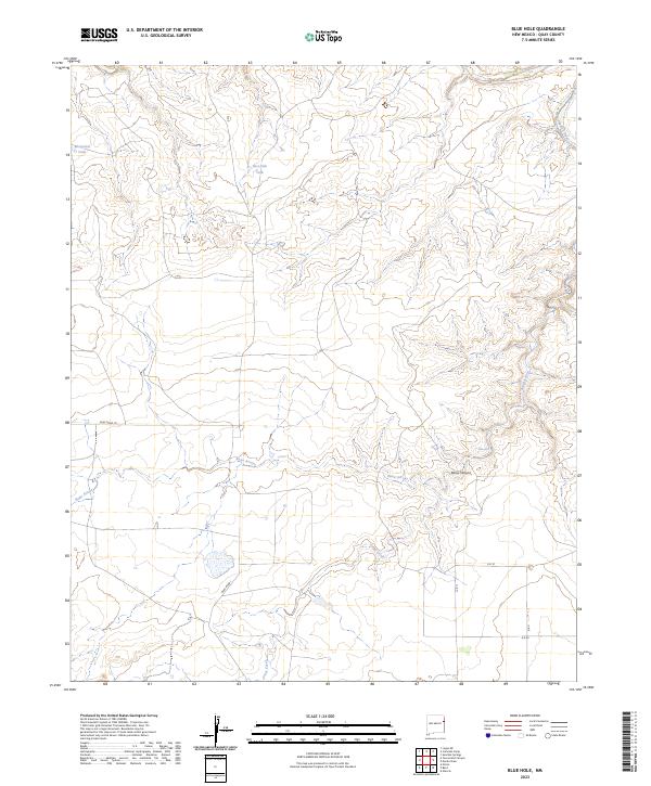
2023 Blue Hole
Quay County, NM
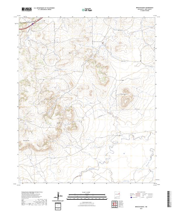
2023 Briscoe Ranch
Quay County, NM
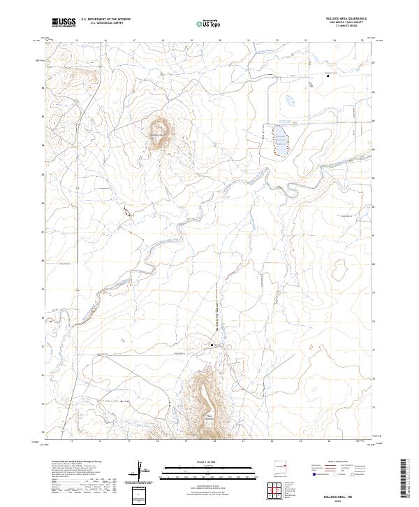
2023 Bulldog Mesa
Quay County, NM
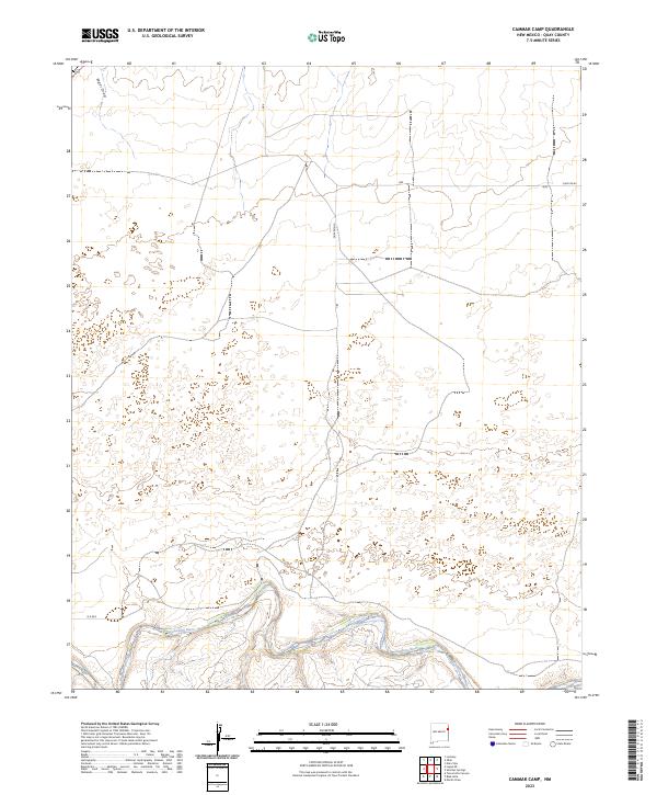
2023 Cammak Camp
Quay County, NM
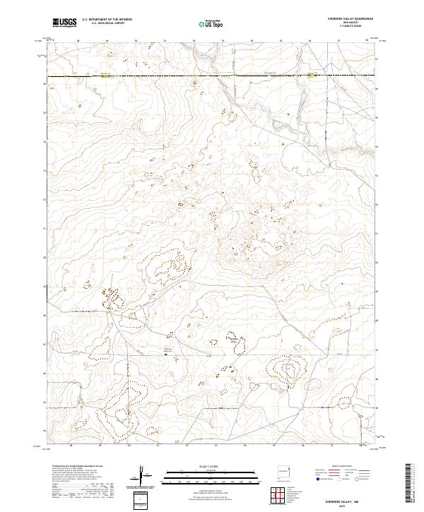
2023 Cherokee Valley
Quay County, NM
2023 Circle S Mesa
Quay County, NM
2023 Cow Canyon
Quay County, NM
2023 Cunavea Basin
Quay County, NM
2023 Doyle Hill
Quay County, NM
2023 Field
Quay County, NM
2023 Forrest
Quay County, NM

2023 Glenrio
Quay County, NM
2023 Grady SW
Quay County, NM
2023 Hassell
Quay County, NM
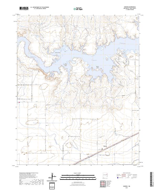
2023 Hudson
Quay County, NM
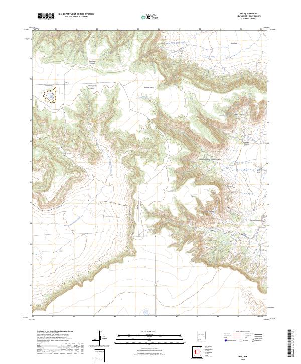
2023 Ima
Quay County, NM
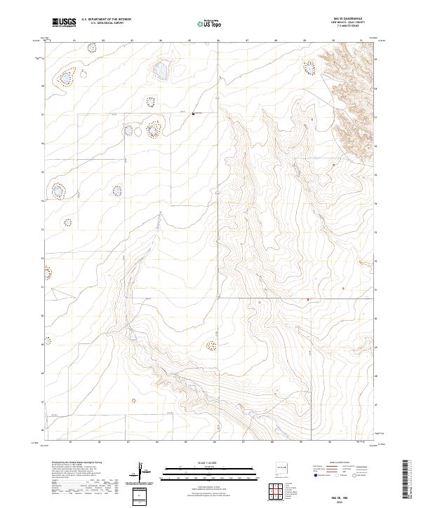
2023 Ima SE
Quay County, NM
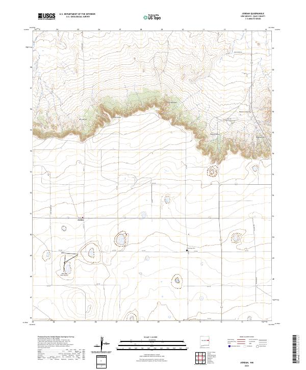
2023 Jordan
Quay County, NM
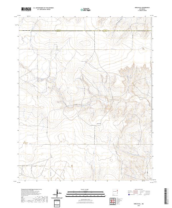
2023 Kerlin Hill
Quay County, NM
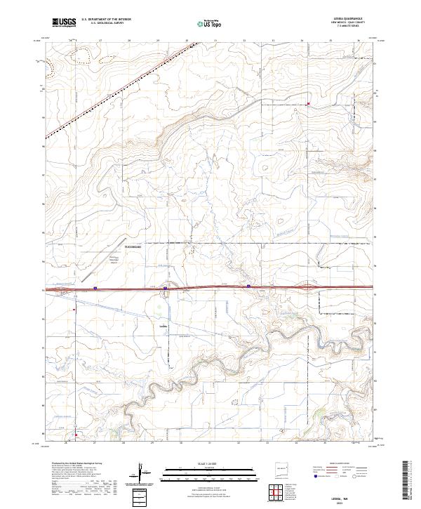
2023 Lesbia
Quay County, NM
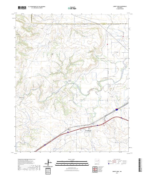
2023 Liberty Mesa
Quay County, NM
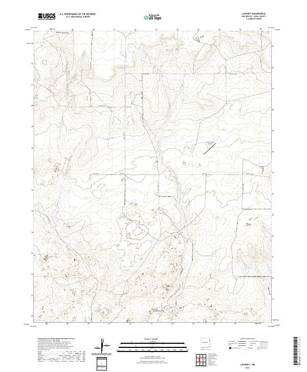
2023 Lockney
Quay County, NM

2023 Logan NE
Quay County, NM
2023 Logan South
Quay County, NM
2023 Martin Draw
Quay County, NM
2023 McAlister
Quay County, NM
2023 Mesa Redonda
Quay County, NM
2023 Montoya
Quay County, NM
2023 Norton
Quay County, NM
2023 Obar
Quay County, NM
2023 Porter
Quay County, NM
2023 Quay
Quay County, NM
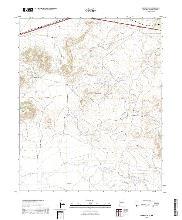
2023 Quemado Hills
Quay County, NM
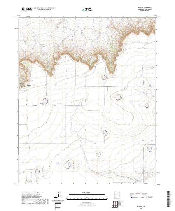
2023 Ragland
Quay County, NM
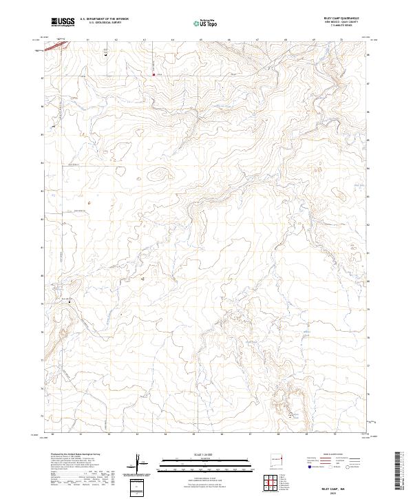
2023 Riley Camp
Quay County, NM
2023 San Jon NW
Quay County, NM
2023 Tucumcari SE
Quay County, NM
2023 Tuscocoillo Canyon
Quay County, NM
2023 Weber City
Quay County, NM
2023 Wheatland
Quay County, NM