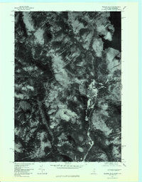
1977 Map of Wilsons Mills
USGS Topo · Published 1983About this map
Wilsons Mills serves as the primary point of settlement in this northern Maine landscape, positioned where the Magalloway River winds through the valley floor. This orthophotoquad, derived from aerial imagery, emphasizes the timbered character of the region and the complex drainage systems that define it. The confluence of the Dead Diamond River and Swift Diamond River highlights the essential water network that historically supported regional logging efforts. Dominating the eastern edge is the expansive Aziscohos Lake, while the topography is punctuated by prominent peaks such as Halfmoon Mountain and Black Mountain. The imagery provides a clear view of the winding riverbanks and the narrow corridors of human activity tucked between the mountains, offering researchers a look at the land use patterns of the late 1970s before modern development altered these traditional waterways.
Find a feature on this map
10 named features on this map. Tap any name to fly to it.
Don’t see what you’re looking for? This feature index may not catch every label — zoom into the map to look around manually.
Map Details
Editions of this 1977 Wilsons Mills Map
This is the sole edition of this map. No revisions or reprints were ever made.
Historical Maps of Magalloway Plantation Through Time
135 maps found
1896 Norway
Oxford County, ME
1909 Fryeburg
Oxford County, ME
1911 Bryant Pond
Oxford County, ME

1911 Buckfield
Oxford County, ME
1911 Fryeburg
Oxford County, ME
1913 Buckfield
Oxford County, ME
1914 Bryant Pond
Oxford County, ME
1927 Moose Bog
Oxford County, ME
1927 Rumford
Oxford County, ME
1930 Errol
Oxford County, ME
1930 Rumford
Oxford County, ME
1931 Cupsuptic
Oxford County, ME
1931 Moose Bog
Oxford County, ME

1934 Cupsuptic
Oxford County, ME
1935 Cupsuptic
Oxford County, ME
1940 Oquossoc
Oxford County, ME

1941 Fryeburg
Oxford County, ME

1942 Bryant Pond
Oxford County, ME

1942 Buckfield
Oxford County, ME
1942 Oquossoc
Oxford County, ME
1943 Old Speck Mtn
Oxford County, ME
1945 Old Speck Mtn
Oxford County, ME
1946 Norway
Oxford County, ME
1949 Norway
Oxford County, ME
1950 Cupsuptic
Oxford County, ME
1963 Center Lovell
Oxford County, ME
1963 Fryeburg
Oxford County, ME
1963 North Waterford
Oxford County, ME
1963 Pleasant Mtn
Oxford County, ME
1964 Brownfield
Oxford County, ME
1964 Hiram
Oxford County, ME
1967 Bryant Pond
Oxford County, ME
1967 Buckfield
Oxford County, ME
1967 Canton
Oxford County, ME
1967 Greenwood
Oxford County, ME
1967 Mount Zircon
Oxford County, ME
1967 West Paris
Oxford County, ME
1967 West Sumner
Oxford County, ME
1967 Worthley Pond
Oxford County, ME
1968 Dixfield
Oxford County, ME
1968 East Andover
Oxford County, ME
1968 Ellis Pond
Oxford County, ME
1969 Roxbury
Oxford County, ME
1969 Rumford
Oxford County, ME
1970 East Stoneham
Oxford County, ME
1970 Gilead
Oxford County, ME
1970 Speckled Mountain
Oxford County, ME
1976 Bosebuck Mountain
Oxford County, ME
1976 Moose Bog
Oxford County, ME
1976 Rump Mountain
Oxford County, ME
1977 Andover
Oxford County, ME
1977 B Pond
Oxford County, ME
1977 Kennebago
Oxford County, ME
1977 Lincoln Pond
Oxford County, ME
1977 Metallak Mountain
Oxford County, ME
1977 Middle Dam
Oxford County, ME
1977 Old Speck Mountain
Oxford County, ME
1977 Oquossoc
Oxford County, ME
1977 Parmachenee Lake
Oxford County, ME
1977 Puzzle Mountain
Oxford County, ME
1977 Richardson Pond
Oxford County, ME
1977 Twin Peaks
Oxford County, ME
1977 Wilsons Mills
Oxford County, ME
1980 Oxford
Oxford County, ME
1983 Norway
Oxford County, ME
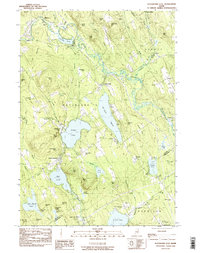
1983 Waterford Flat
Oxford County, ME
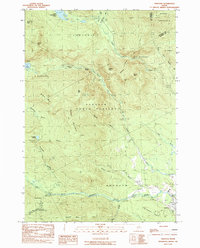
1984 Andover
Oxford County, ME
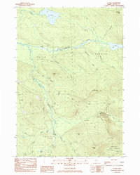
1984 B Pond
Oxford County, ME
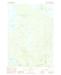
1984 Metallak Mtn
Oxford County, ME
1984 Middle Dam
Oxford County, ME
1984 Old Speck Mountain
Oxford County, ME
1984 Oquossoc
Oxford County, ME
1984 Puzzle Mountain
Oxford County, ME
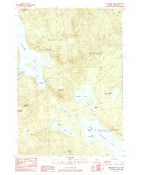
1984 Richardson Pond
Oxford County, ME
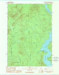
1989 Bosebuck Mountain
Oxford County, ME
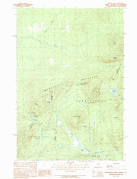
1989 Moose Bog
Oxford County, ME
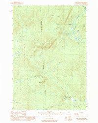
1989 Rump Mountain
Oxford County, ME
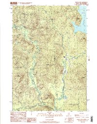
1989 Wilsons Mills
Oxford County, ME
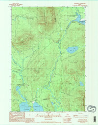
1990 Kennebago
Oxford County, ME
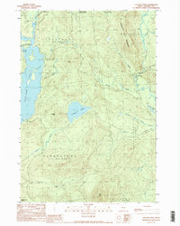
1990 Lincoln Pond
Oxford County, ME
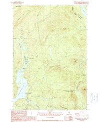
1990 Parmachenee Lake
Oxford County, ME
1990 Twin Peaks
Oxford County, ME
1995 Center Lovell
Oxford County, ME
1995 East Stoneham
Oxford County, ME
1995 Gilead
Oxford County, ME
1995 North Waterford
Oxford County, ME
1995 Speckled Mountain
Oxford County, ME
1997 Kennebago
Oxford County, ME
1997 Metallak Mtn
Oxford County, ME
1997 Middle Dam
Oxford County, ME
1997 Oquossoc
Oxford County, ME
1997 Richardson Pond
Oxford County, ME
2000 Norway
Oxford County, ME
2000 Old Speck Mountain
Oxford County, ME
2024 Andover
Oxford County, ME
2024 Bosebuck Mountain
Oxford County, ME
2024 B Pond
Oxford County, ME
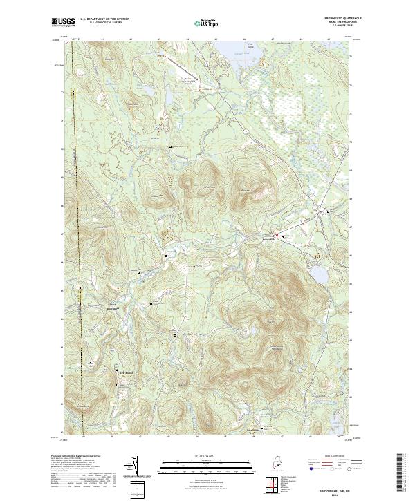
2024 Brownfield
Oxford County, ME
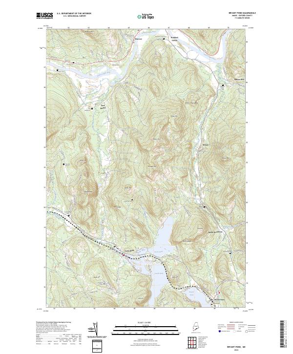
2024 Bryant Pond
Oxford County, ME
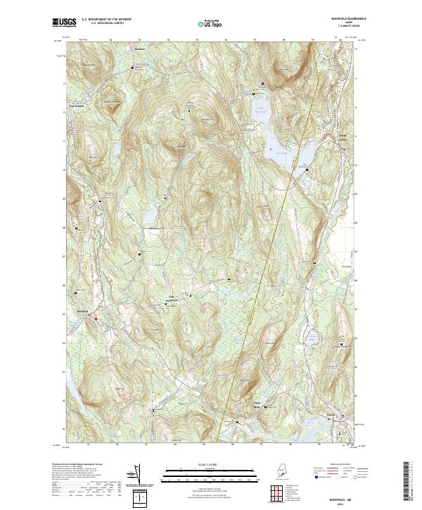
2024 Buckfield
Oxford County, ME
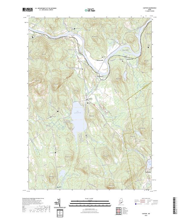
2024 Canton
Oxford County, ME
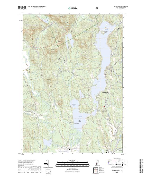
2024 Center Lovell
Oxford County, ME
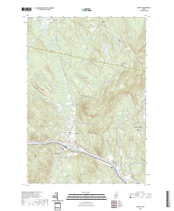
2024 Dixfield
Oxford County, ME
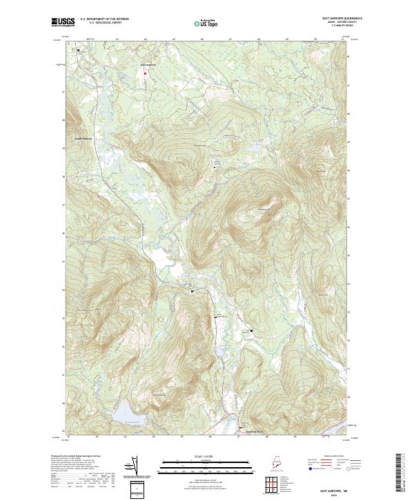
2024 East Andover
Oxford County, ME
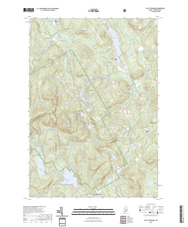
2024 East Stoneham
Oxford County, ME
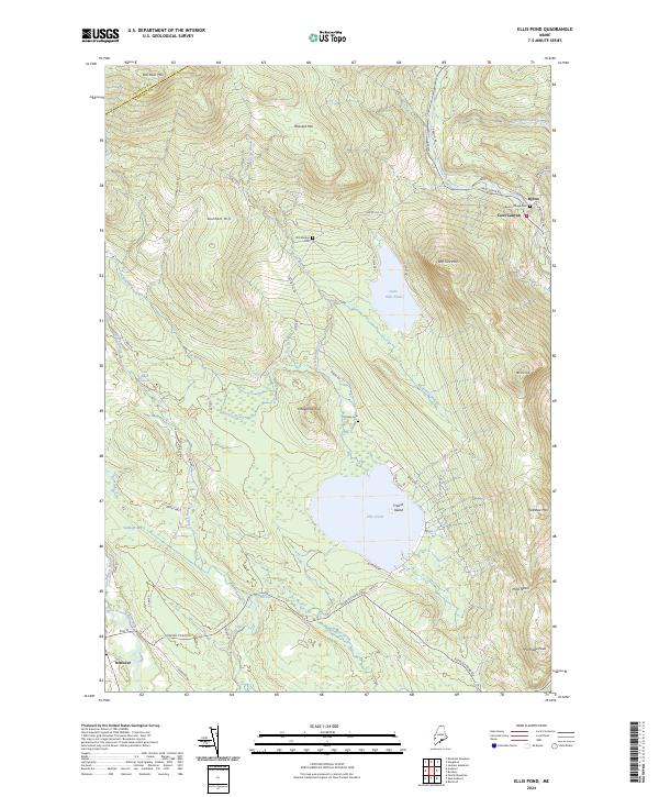
2024 Ellis Pond
Oxford County, ME
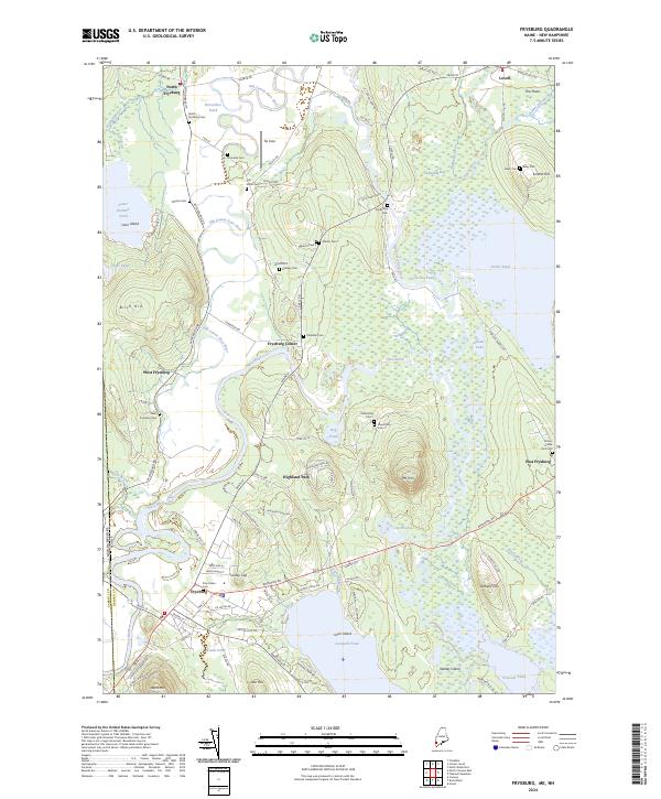
2024 Fryeburg
Oxford County, ME
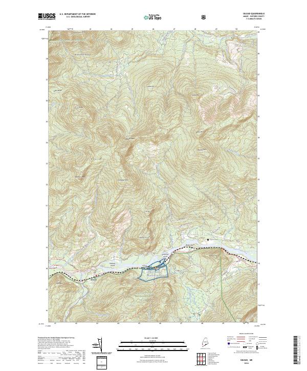
2024 Gilead
Oxford County, ME
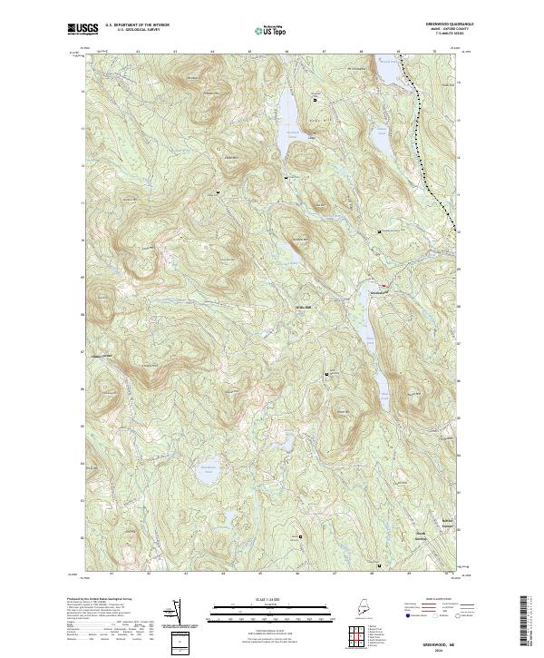
2024 Greenwood
Oxford County, ME
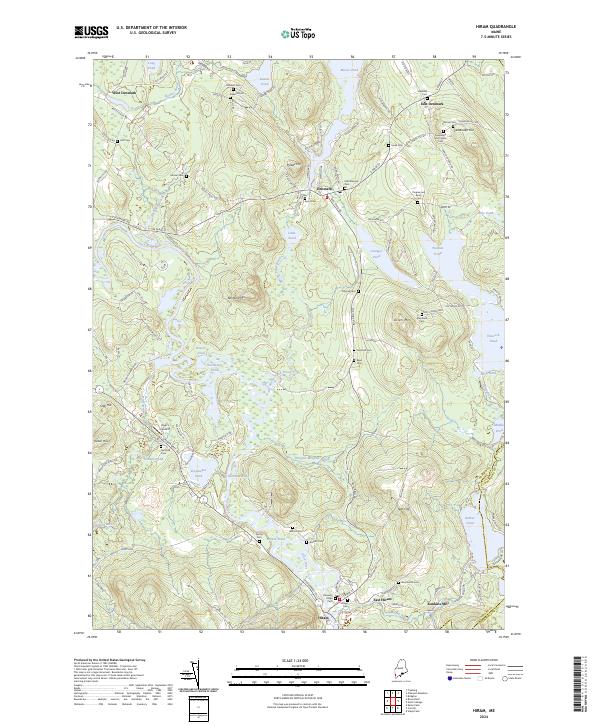
2024 Hiram
Oxford County, ME
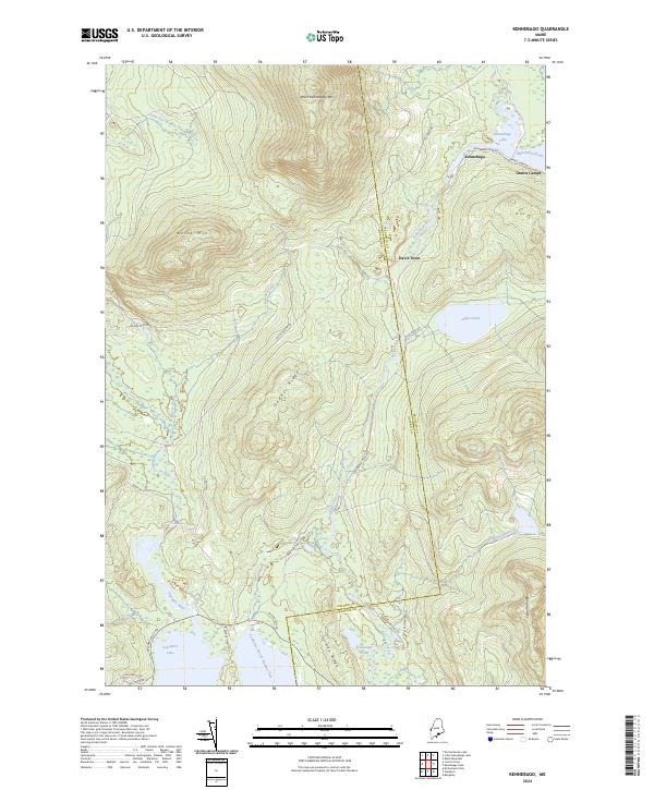
2024 Kennebago
Oxford County, ME
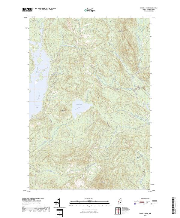
2024 Lincoln Pond
Oxford County, ME
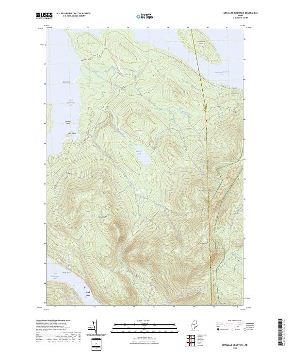
2024 Metallak Mountain
Oxford County, ME
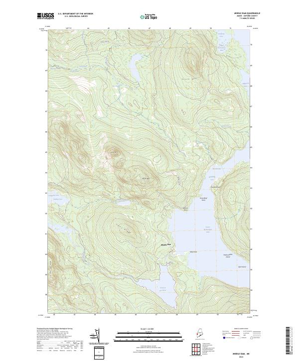
2024 Middle Dam
Oxford County, ME
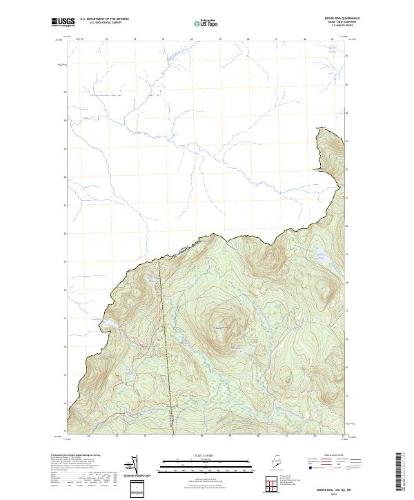
2024 Moose Bog
Oxford County, ME
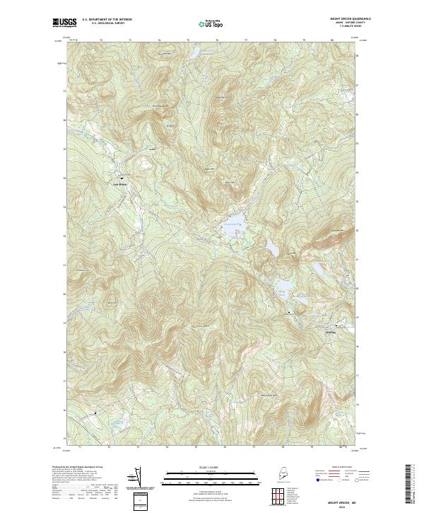
2024 Mount Zircon
Oxford County, ME
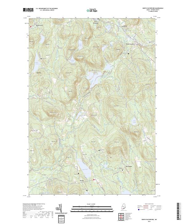
2024 North Waterford
Oxford County, ME
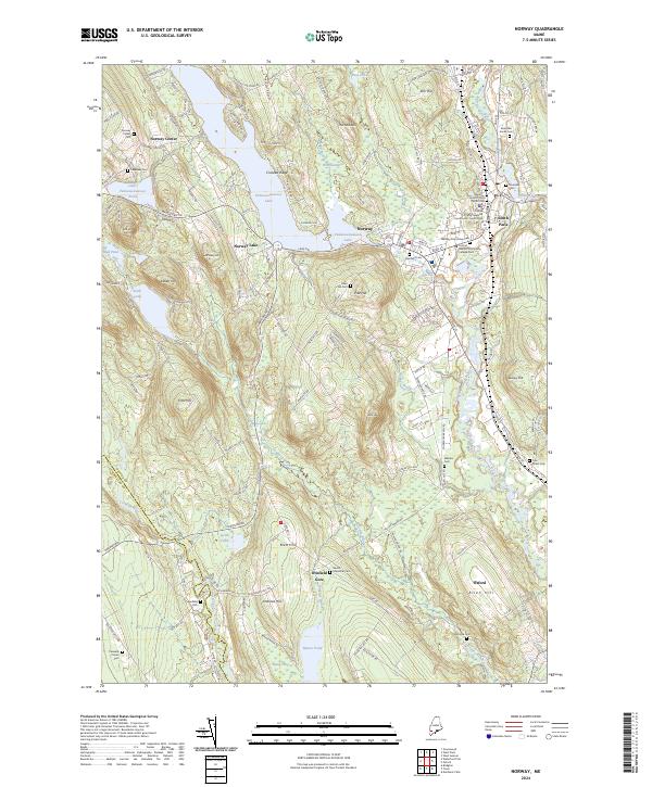
2024 Norway
Oxford County, ME
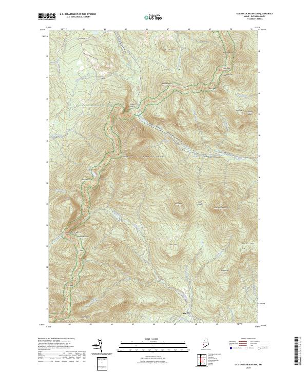
2024 Old Speck Mountain
Oxford County, ME
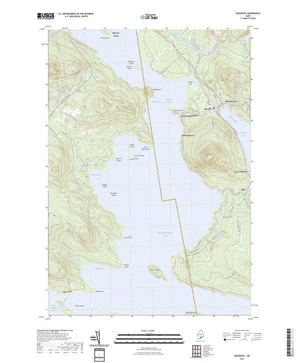
2024 Oquossoc
Oxford County, ME
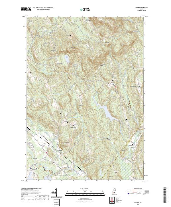
2024 Oxford
Oxford County, ME
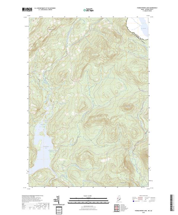
2024 Parmachenee Lake
Oxford County, ME
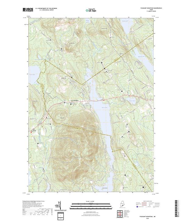
2024 Pleasant Mountain
Oxford County, ME
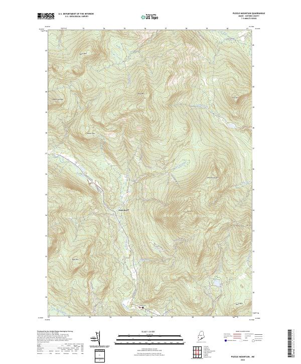
2024 Puzzle Mountain
Oxford County, ME
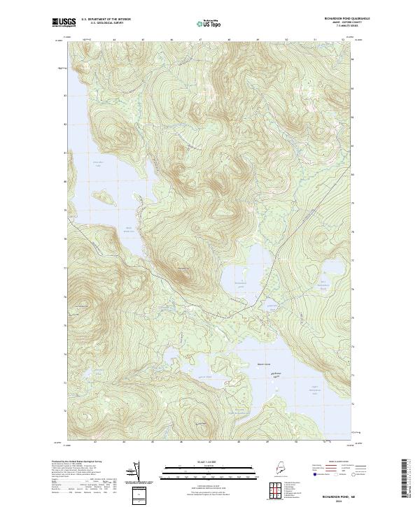
2024 Richardson Pond
Oxford County, ME
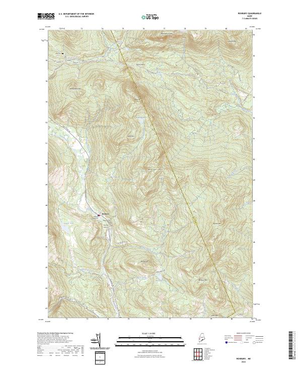
2024 Roxbury
Oxford County, ME
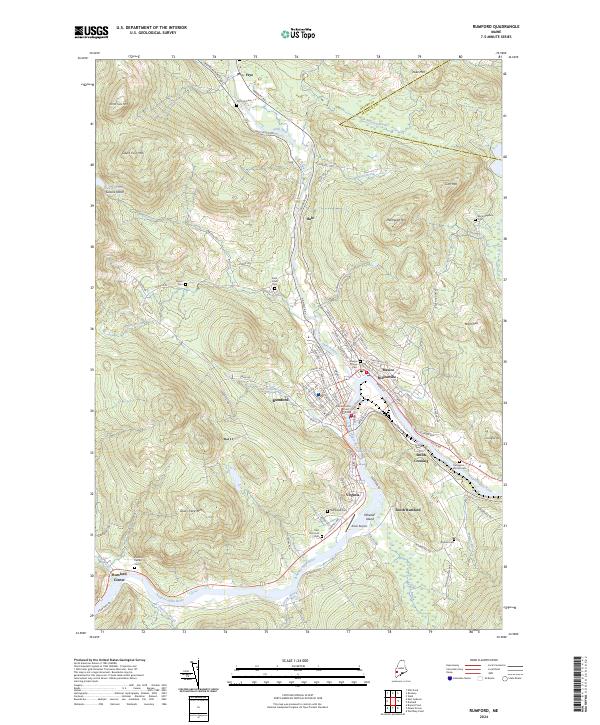
2024 Rumford
Oxford County, ME
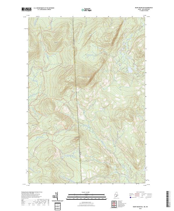
2024 Rump Mountain
Oxford County, ME
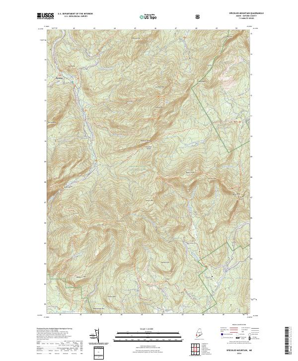
2024 Speckled Mountain
Oxford County, ME
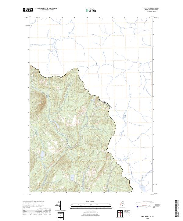
2024 Twin Peaks
Oxford County, ME
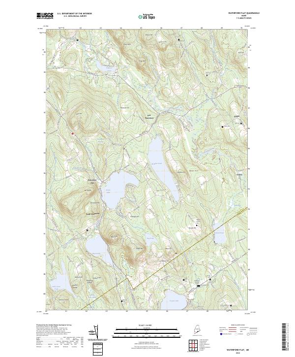
2024 Waterford Flat
Oxford County, ME
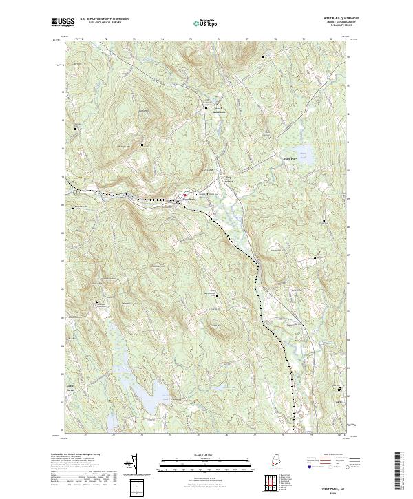
2024 West Paris
Oxford County, ME
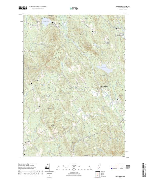
2024 West Sumner
Oxford County, ME
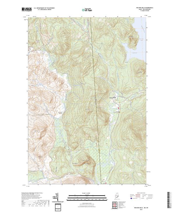
2024 Wilsons Mills
Oxford County, ME
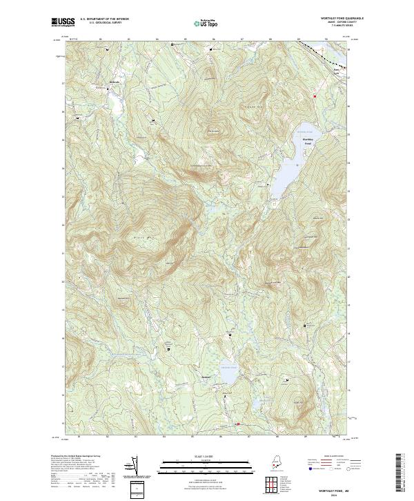
2024 Worthley Pond
Oxford County, ME
Featured Locations
- Atkinson and Gilmanton Academy Grant, NH
- Second College Grant, NH
- Lincoln Plantation, ME
- Magalloway Plantation, ME
- Wilsons Mills, Lincoln Plantation