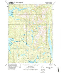
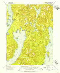
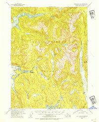
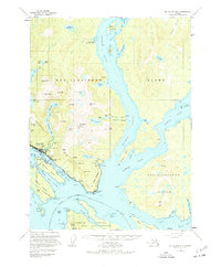
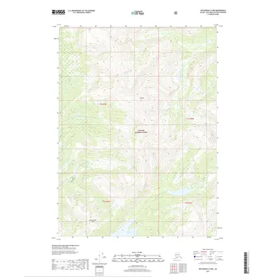
1948 Map of Ketchikan C-5
USGS Topo · Published 1971About this map
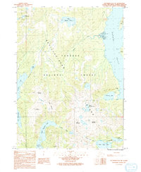
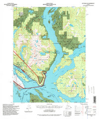
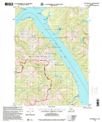
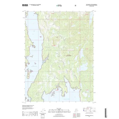
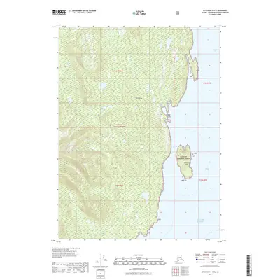
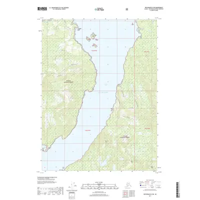
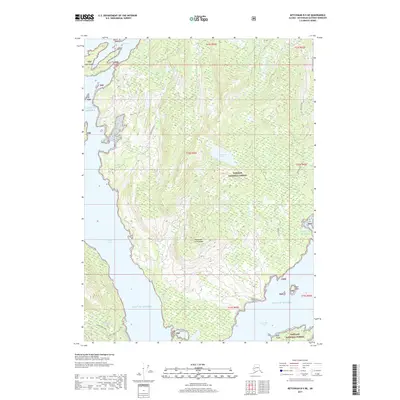
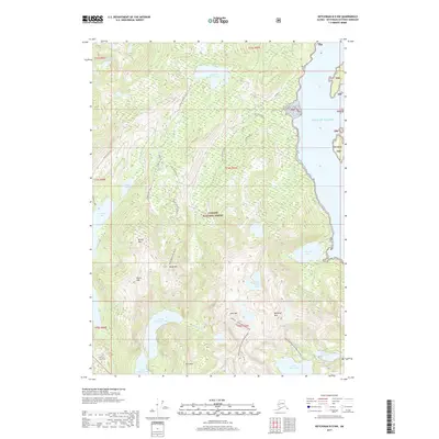
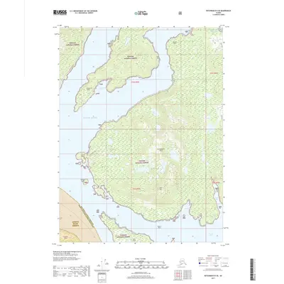
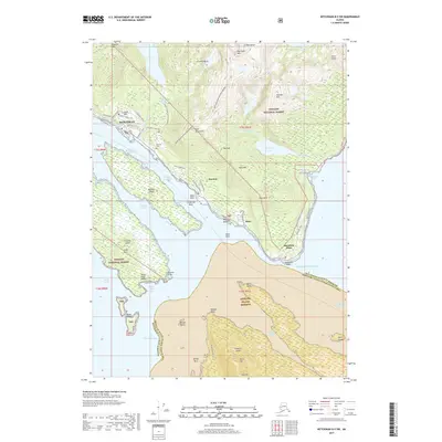
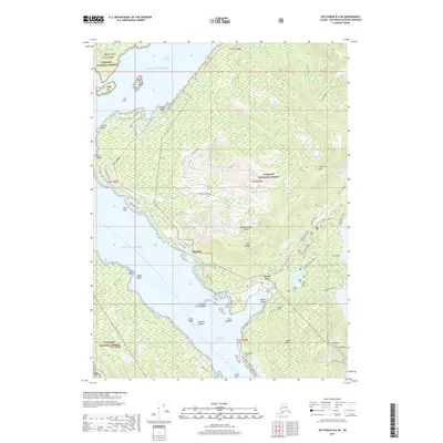
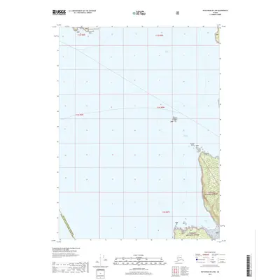
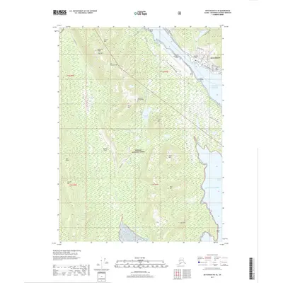
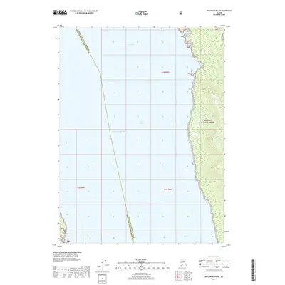
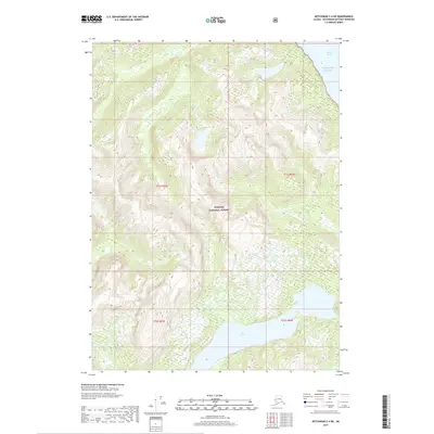
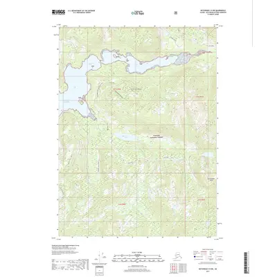
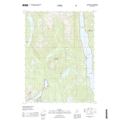
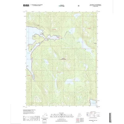
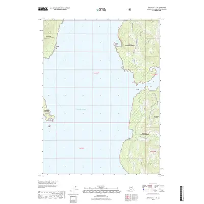
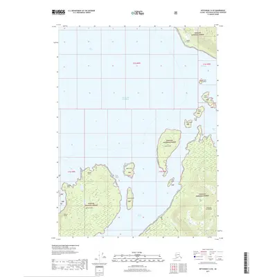
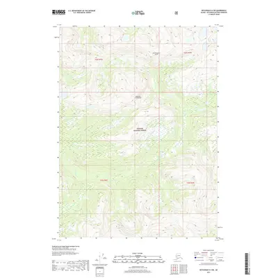
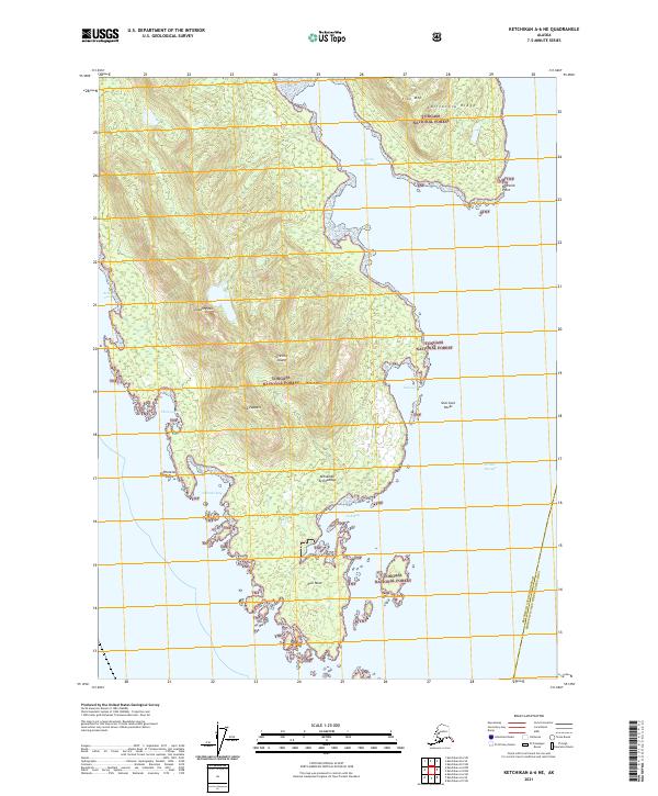
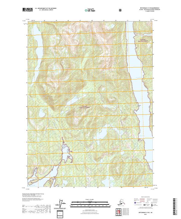
Revillagigedo Island presents a landscape shaped by coastal industry and maritime access as documented in this 1948 survey. The settlement of Loring on Naha Bay serves as a focal point, supported by a Seaplane Base and nearby Tanks, indicating the importance of air and sea transport in this roadless region. Further inland, the map records the Black Bear Observation Post and Orton Ranch, along with the Fish Hatchery (Aband) near Heckman Lake, reflecting early mid-century wildlife management and seasonal habitation patterns. The intricate waterway system, including Roosevelt Lagoon, Traitors Cove, and the long reach of Carroll Inlet, highlights how the tidal geography dictated the movement of goods and people. This edition preserves the location of remote outposts and infrastructure before subsequent changes in the Tongass National Forest altered these early development footprints.
Find a feature on this map
48 named features on this map. Tap any name to fly to it.
Don’t see what you’re looking for? This feature index may not catch every label — zoom into the map to look around manually.
Map Details
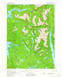
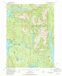
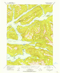
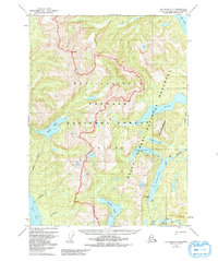
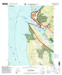
Editions of this 1948 Ketchikan C-5 Map
3 editions found
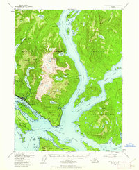
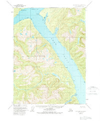
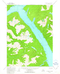
Historical Maps of Loring Through Time
85 maps found
1948 Ketchikan C-5
Ketchikan Gateway Borough, AK
1949 Ketchikan B-4
Ketchikan Gateway Borough, AK
1952 Ketchikan B-4
Ketchikan Gateway Borough, AK
1952 Ketchikan C-4
Ketchikan Gateway Borough, AK
1952 Ketchikan D-5
Ketchikan Gateway Borough, AK
1953 Ketchikan B-6
Ketchikan Gateway Borough, AK
1953 Ketchikan C-5
Ketchikan Gateway Borough, AK
1953 Ketchikan D-5
Ketchikan Gateway Borough, AK
1954 Ketchikan B-5
Ketchikan Gateway Borough, AK
1954 Ketchikan B-6
Ketchikan Gateway Borough, AK
1955 Ketchikan B-5
Ketchikan Gateway Borough, AK
1955 Ketchikan C-4
Ketchikan Gateway Borough, AK
1955 Ketchikan D-4
Ketchikan Gateway Borough, AK
1962 Ketchikan D-4
Ketchikan Gateway Borough, AK
1991 Ketchikan B-5 NW
Ketchikan Gateway Borough, AK
1991 Ketchikan B-5 SW
Ketchikan Gateway Borough, AK
1991 Ketchikan B-6 NE
Ketchikan Gateway Borough, AK
1991 Ketchikan B-6 SE
Ketchikan Gateway Borough, AK
1994 Ketchikan B-5
Ketchikan Gateway Borough, AK
1994 Ketchikan B-6
Ketchikan Gateway Borough, AK
1995 Ketchikan B-4
Ketchikan Gateway Borough, AK
1995 Ketchikan C-4
Ketchikan Gateway Borough, AK
1996 Ketchikan D-4
Ketchikan Gateway Borough, AK
2017 Ketchikan A-6 NE
Ketchikan Gateway Borough, AK
2017 Ketchikan A-6 SE
Ketchikan Gateway Borough, AK
2017 Ketchikan B-4 NE
Ketchikan Gateway Borough, AK
2017 Ketchikan B-4 NW
Ketchikan Gateway Borough, AK
2017 Ketchikan B-4 SE
Ketchikan Gateway Borough, AK
2017 Ketchikan B-4 SW
Ketchikan Gateway Borough, AK
2017 Ketchikan B-5 NE
Ketchikan Gateway Borough, AK
2017 Ketchikan B-5 NW
Ketchikan Gateway Borough, AK
2017 Ketchikan B-5 SE
Ketchikan Gateway Borough, AK
2017 Ketchikan B-5 SW
Ketchikan Gateway Borough, AK
2017 Ketchikan B-6 NE
Ketchikan Gateway Borough, AK
2017 Ketchikan B-6 NW
Ketchikan Gateway Borough, AK
2017 Ketchikan B-6 SE
Ketchikan Gateway Borough, AK
2017 Ketchikan B-6 SW
Ketchikan Gateway Borough, AK
2017 Ketchikan C-4 NE
Ketchikan Gateway Borough, AK
2017 Ketchikan C-4 NW
Ketchikan Gateway Borough, AK
2017 Ketchikan C-4 SE
Ketchikan Gateway Borough, AK
2017 Ketchikan C-4 SW
Ketchikan Gateway Borough, AK
2017 Ketchikan C-5 NE
Ketchikan Gateway Borough, AK
2017 Ketchikan C-5 NW
Ketchikan Gateway Borough, AK
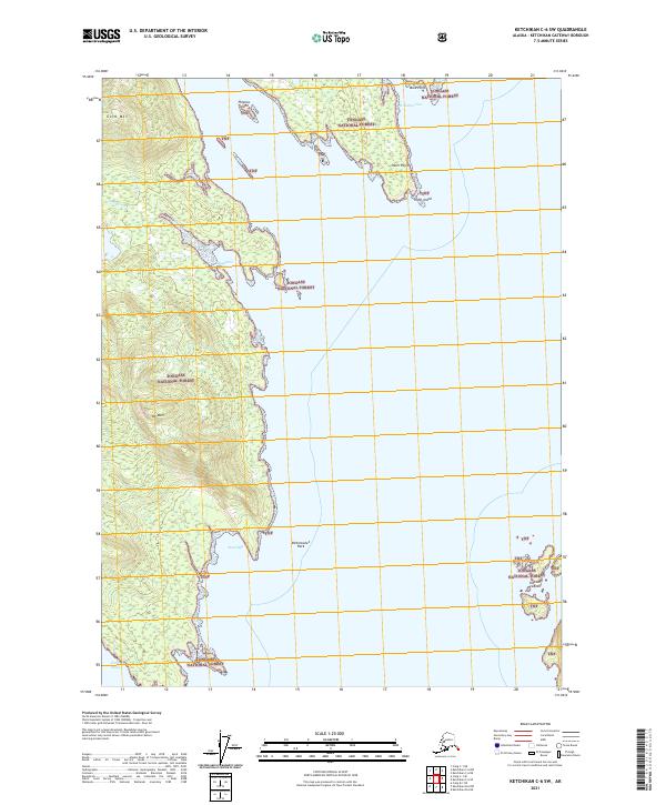
2017 Ketchikan C-5 SE
Ketchikan Gateway Borough, AK
2017 Ketchikan C-5 SW
Ketchikan Gateway Borough, AK
2017 Ketchikan C-6 NE
Ketchikan Gateway Borough, AK
2017 Ketchikan C-6 SE
Ketchikan Gateway Borough, AK
2017 Ketchikan C-6 SW
Ketchikan Gateway Borough, AK
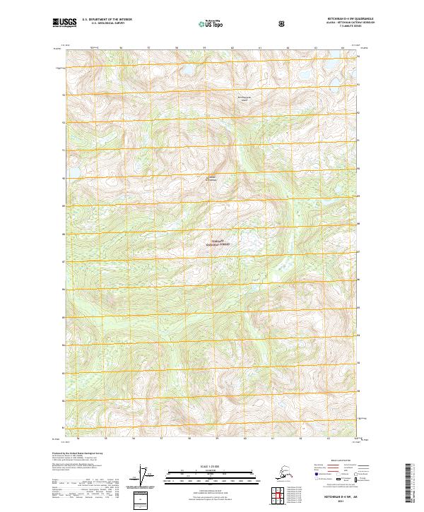
2017 Ketchikan D-4 NW
Ketchikan Gateway Borough, AK
2017 Ketchikan D-4 SE
Ketchikan Gateway Borough, AK
2017 Ketchikan D-4 SW
Ketchikan Gateway Borough, AK
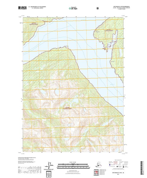
2017 Ketchikan D-5 NE
Ketchikan Gateway Borough, AK
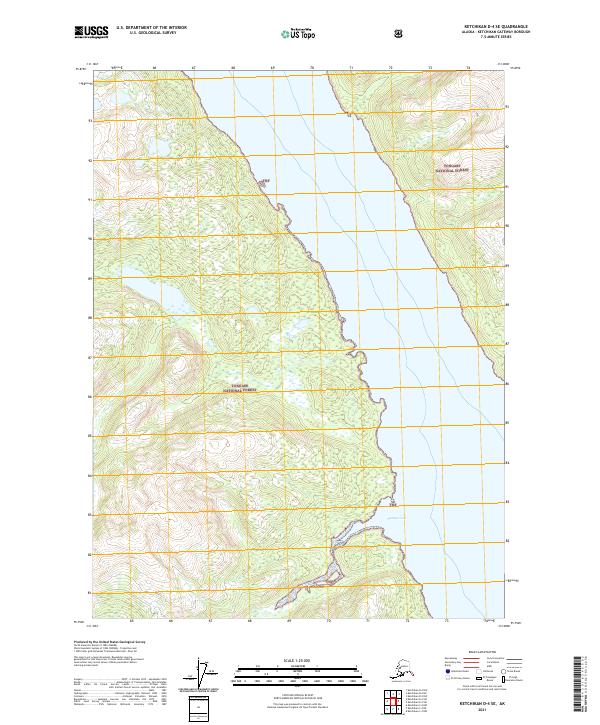
2017 Ketchikan D-5 SE
Ketchikan Gateway Borough, AK
2017 Ketchikan D-5 SW
Ketchikan Gateway Borough, AK
2021 Ketchikan A-6 NE
Ketchikan Gateway Borough, AK
2021 Ketchikan A-6 SE
Ketchikan Gateway Borough, AK
2021 Ketchikan B-4 NE
Ketchikan Gateway Borough, AK
2021 Ketchikan B-4 NW
Ketchikan Gateway Borough, AK
2021 Ketchikan B-4 SE
Ketchikan Gateway Borough, AK
2021 Ketchikan B-4 SW
Ketchikan Gateway Borough, AK
2021 Ketchikan B-5 NE
Ketchikan Gateway Borough, AK
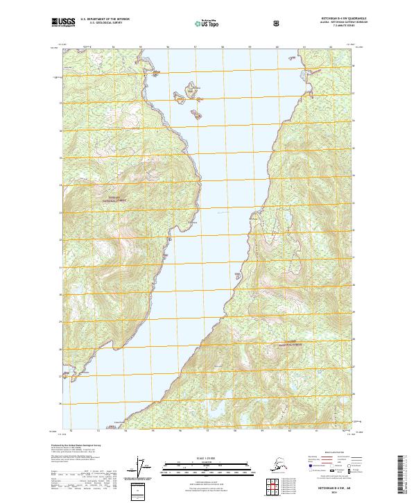
2021 Ketchikan B-5 NW
Ketchikan Gateway Borough, AK
2021 Ketchikan B-5 SE
Ketchikan Gateway Borough, AK
2021 Ketchikan B-5 SW
Ketchikan Gateway Borough, AK
2021 Ketchikan B-6 NE
Ketchikan Gateway Borough, AK
2021 Ketchikan B-6 NW
Ketchikan Gateway Borough, AK
2021 Ketchikan B-6 SE
Ketchikan Gateway Borough, AK
2021 Ketchikan B-6 SW
Ketchikan Gateway Borough, AK
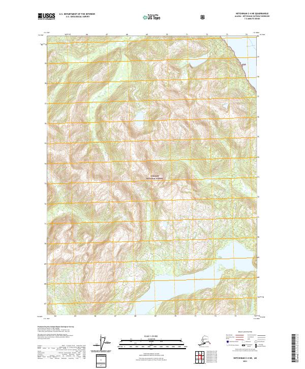
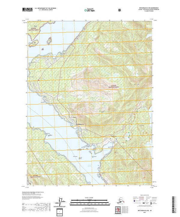
2021 Ketchikan C-4 NE
Ketchikan Gateway Borough, AK
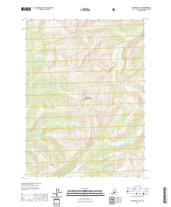
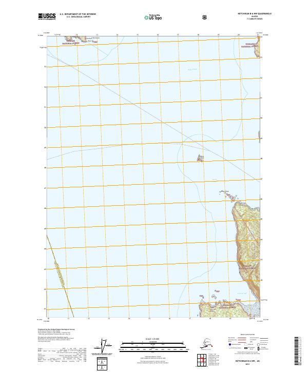
2021 Ketchikan C-4 NW
Ketchikan Gateway Borough, AK
2021 Ketchikan C-4 SE
Ketchikan Gateway Borough, AK
2021 Ketchikan C-4 SW
Ketchikan Gateway Borough, AK
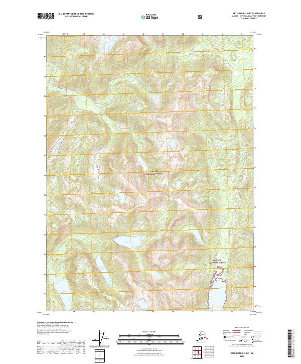
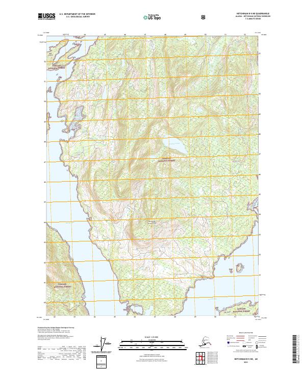
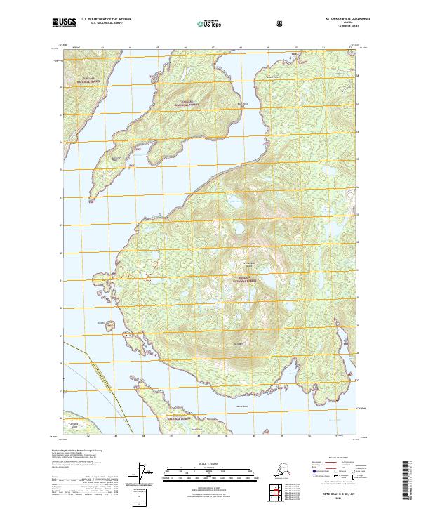
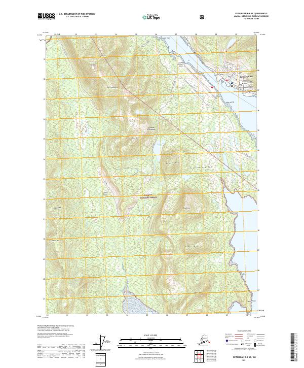
2021 Ketchikan C-5 NE
Ketchikan Gateway Borough, AK
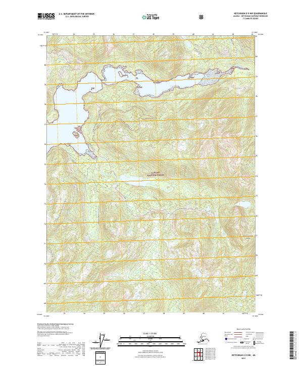
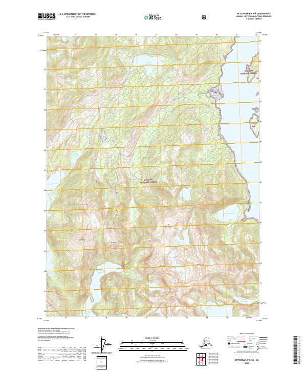
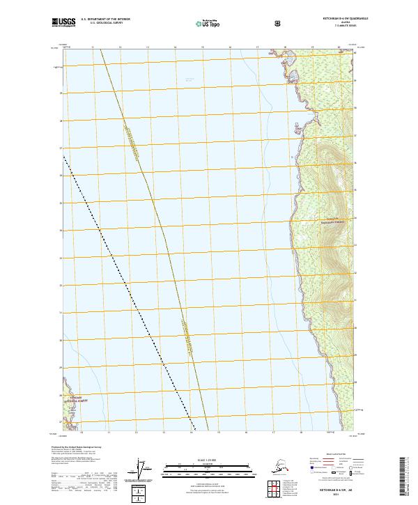
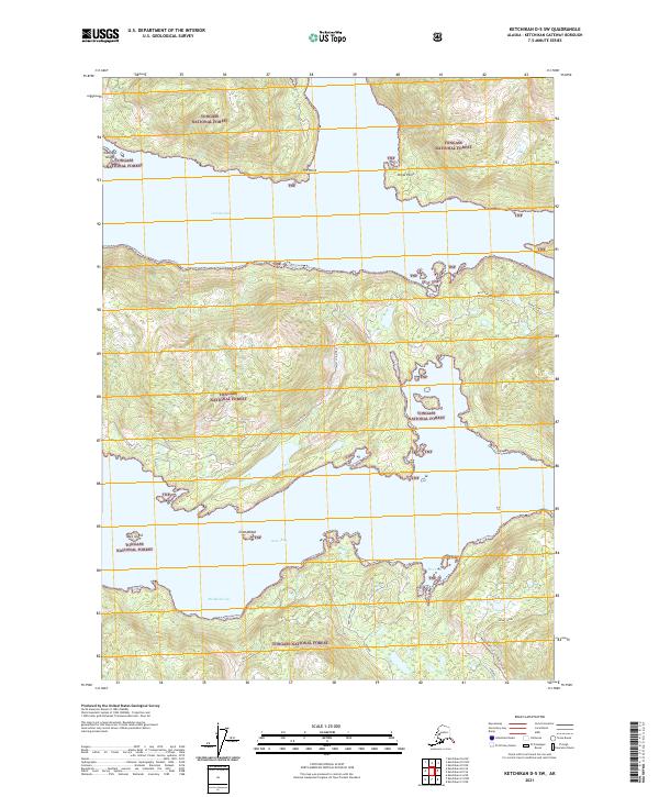
2021 Ketchikan C-5 NW
Ketchikan Gateway Borough, AK
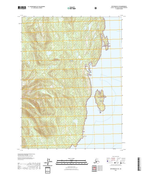
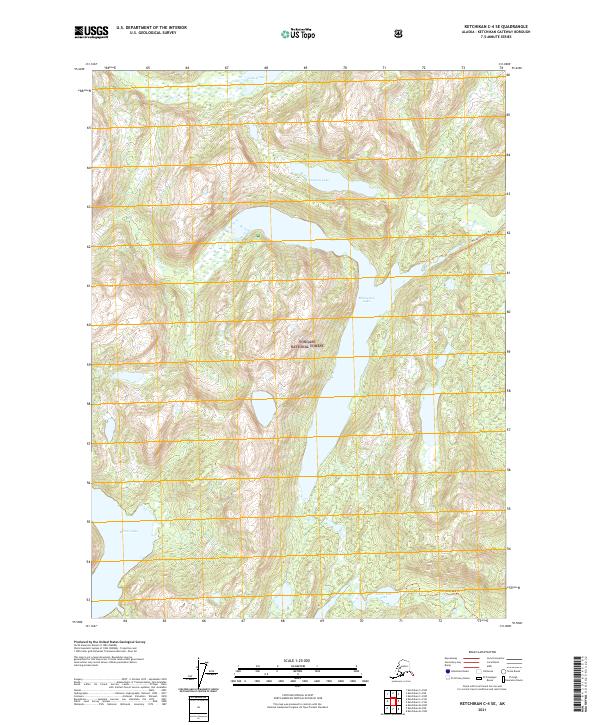
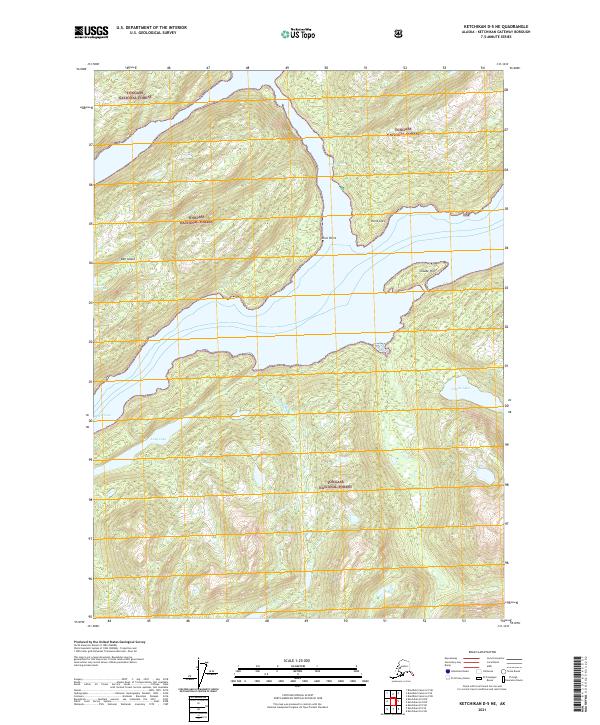
2021 Ketchikan C-5 SE
Ketchikan Gateway Borough, AK
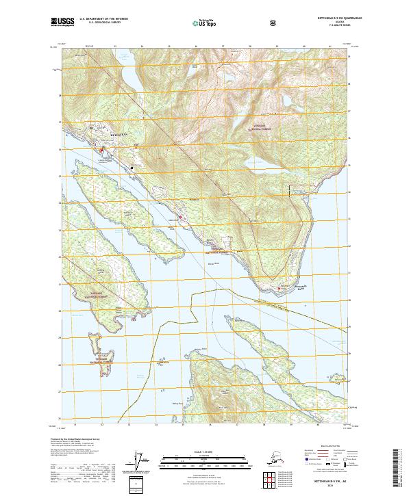
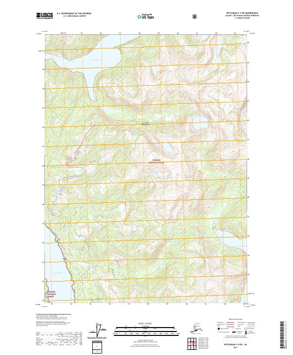
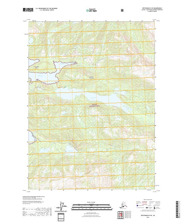
2021 Ketchikan C-5 SW
Ketchikan Gateway Borough, AK
2021 Ketchikan C-6 NE
Ketchikan Gateway Borough, AK
2021 Ketchikan C-6 SE
Ketchikan Gateway Borough, AK
2021 Ketchikan C-6 SW
Ketchikan Gateway Borough, AK
2021 Ketchikan D-4 NW
Ketchikan Gateway Borough, AK
2021 Ketchikan D-4 SE
Ketchikan Gateway Borough, AK
2021 Ketchikan D-4 SW
Ketchikan Gateway Borough, AK
2021 Ketchikan D-5 NE
Ketchikan Gateway Borough, AK
2021 Ketchikan D-5 SE
Ketchikan Gateway Borough, AK
2021 Ketchikan D-5 SW
Ketchikan Gateway Borough, AK