2024 Map of North Salt Lake
USGS Topo · Published 2024About this map
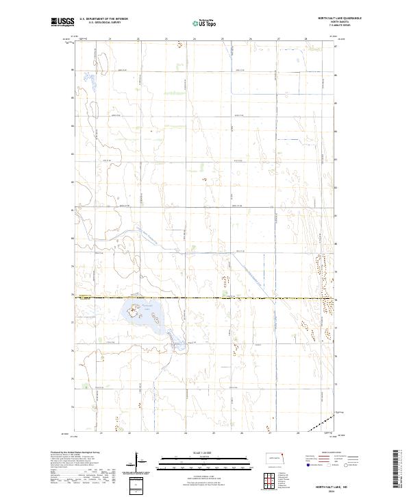
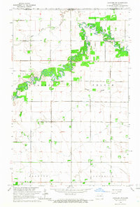
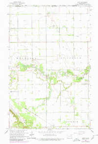
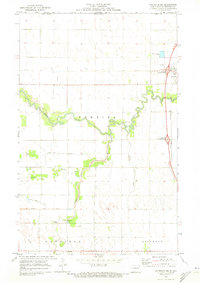
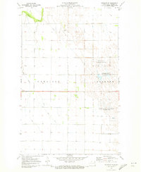
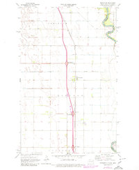
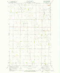
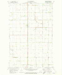
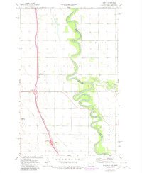
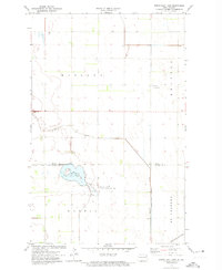
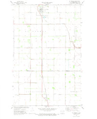
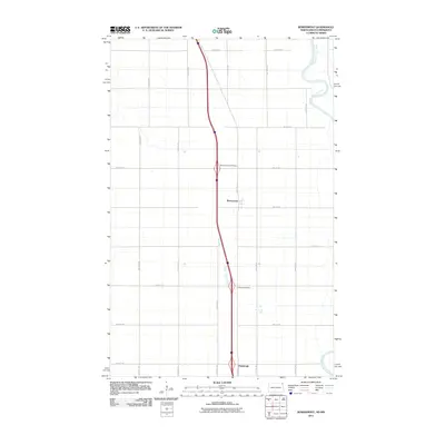
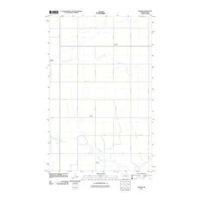
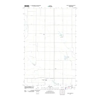
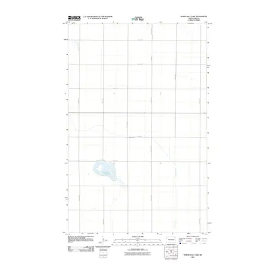
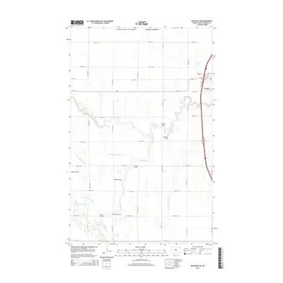
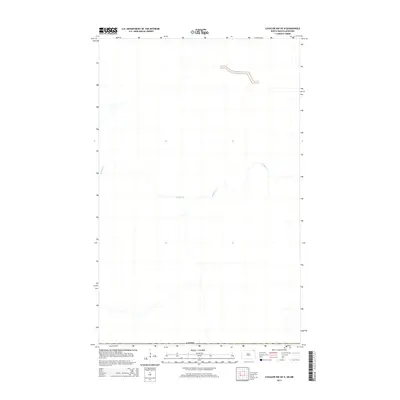
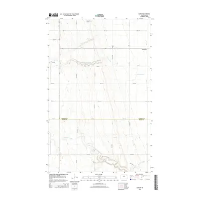
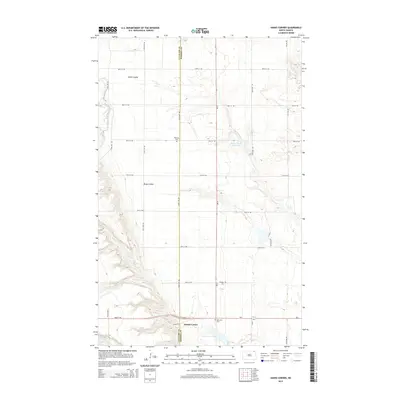
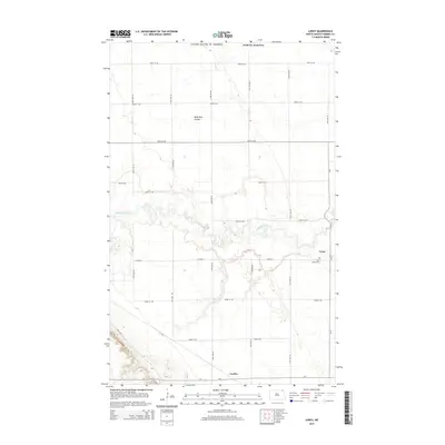
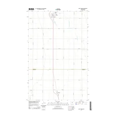
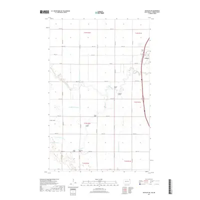
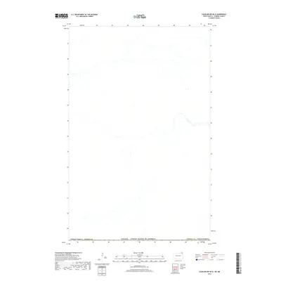
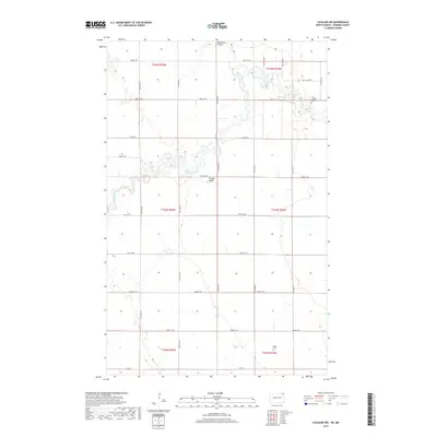
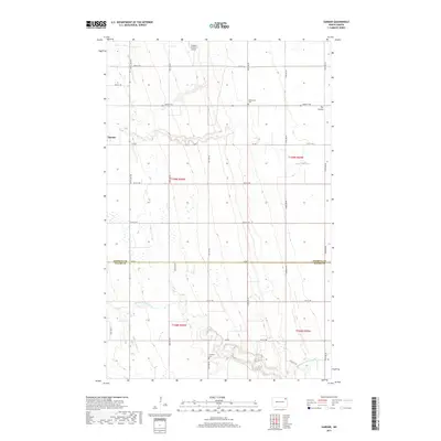
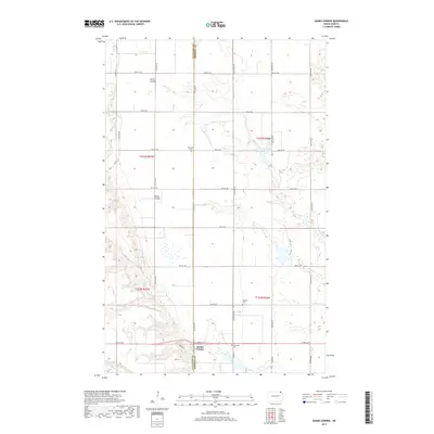
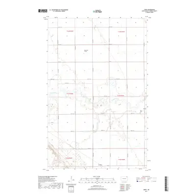
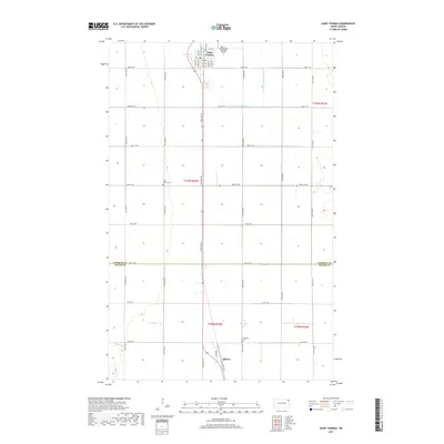
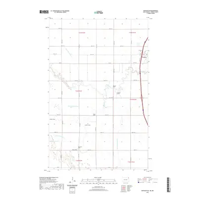
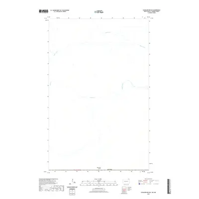
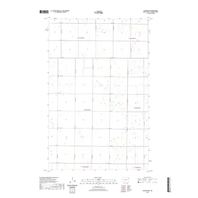
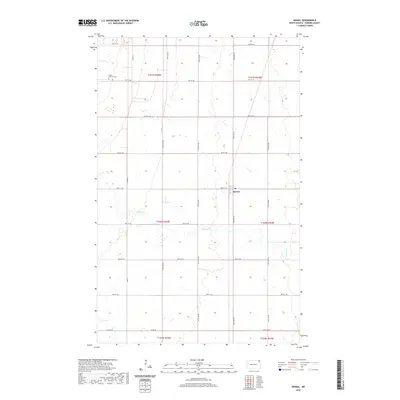
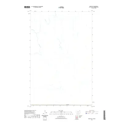
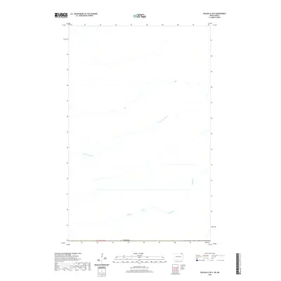
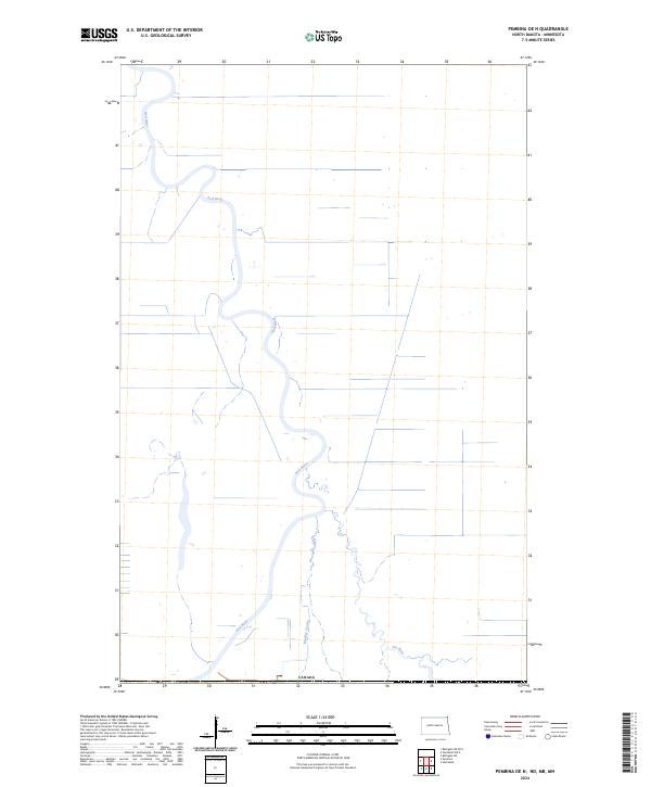
North Salt Lake sits at the heart of this prairie landscape, marking a distinct hydrologic basin where the border of Pembina Co and Walsh Co meets. The terrain is defined by a systematic grid of section roads and water management features, most notably the winding path of Willow Creek and the engineered precision of County Ditch Number 67A. This area reflects the intensive agricultural development of the Red River Valley, where drainage systems like these were essential for converting the low-lying wetlands into productive farmland. The map traces the intersection of several local thoroughfares, including Co Rd 4 and Co Rd 7, which provide the primary access to the scattered farmsteads across the township. For those studying local history, the placement of these ditches and the fluctuating shoreline of the lake offer insight into the long-term management of this fertile but water-dependent region.
Find a feature on this map
24 named features on this map. Tap any name to fly to it.
Don’t see what you’re looking for? This feature index may not catch every label — zoom into the map to look around manually.
Map Details
Editions of this 2024 North Salt Lake Map
This is the sole edition of this map. No revisions or reprints were ever made.
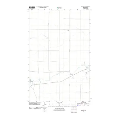
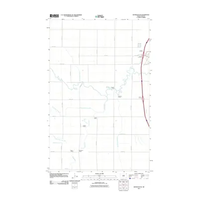
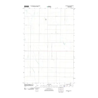
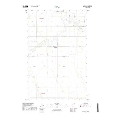
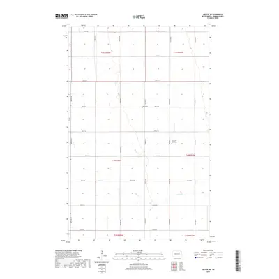
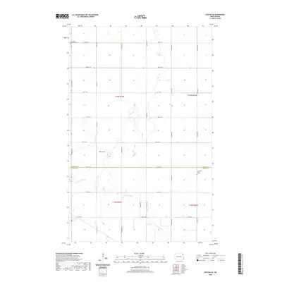
Historical Maps of Walsh County Through Time
131 maps found

1939 Glasston
Pembina County, ND

1941 Glasston
Pembina County, ND
1963 Crystal SE
Pembina County, ND
1963 Gardar
Pembina County, ND
1964 Backoo
Pembina County, ND
1964 Cavalier NW
Pembina County, ND
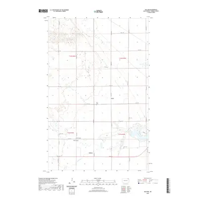
1964 Hallson
Pembina County, ND
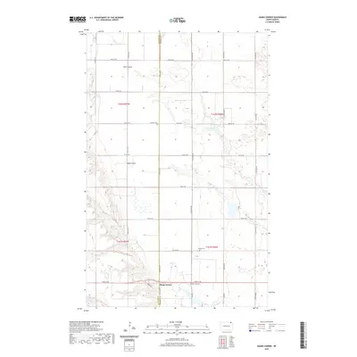
1964 Hanks Corner
Pembina County, ND
1964 Hensel
Pembina County, ND
1964 Leroy
Pembina County, ND
1970 Bathgate NE
Pembina County, ND
1970 Bathgate SE
Pembina County, ND
1971 Bowesmont
Pembina County, ND
1971 Glasston NE
Pembina County, ND
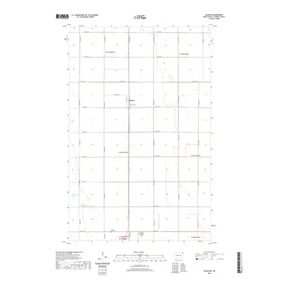
1971 Glasston
Pembina County, ND
1972 Joliette
Pembina County, ND
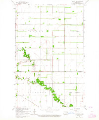
1972 North Salt Lake
Pembina County, ND
1972 Saint Thomas
Pembina County, ND
2011 Backoo
Pembina County, ND
2011 Bathgate NE
Pembina County, ND
2011 Bathgate SE
Pembina County, ND
2011 Bowesmont
Pembina County, ND
2011 Cavalier NW
Pembina County, ND
2011 Crystal NE
Pembina County, ND
2011 Crystal SE
Pembina County, ND
2011 Gardar
Pembina County, ND
2011 Glasston NE
Pembina County, ND
2011 Glasston
Pembina County, ND
2011 Hallson
Pembina County, ND
2011 Hanks Corner
Pembina County, ND
2011 Hensel
Pembina County, ND
2011 Joliette
Pembina County, ND
2011 Leroy
Pembina County, ND
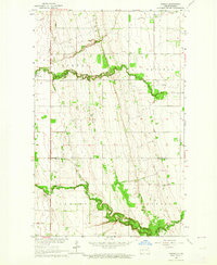
2011 North Salt Lake
Pembina County, ND
2011 Saint Thomas
Pembina County, ND
2014 Backoo
Pembina County, ND
2014 Bathgate NE OE N
Pembina County, ND
2014 Bathgate NE
Pembina County, ND
2014 Bathgate OE N
Pembina County, ND
2014 Bathgate SE
Pembina County, ND
2014 Bowesmont
Pembina County, ND
2014 Cavalier NW OE N
Pembina County, ND
2014 Cavalier NW
Pembina County, ND
2014 Crystal NE
Pembina County, ND
2014 Crystal SE
Pembina County, ND
2014 Gardar
Pembina County, ND
2014 Glasston NE
Pembina County, ND
2014 Glasston
Pembina County, ND
2014 Hallson
Pembina County, ND
2014 Hanks Corner
Pembina County, ND
2014 Hensel
Pembina County, ND
2014 Joliette
Pembina County, ND
2014 Leroy OE N
Pembina County, ND
2014 Leroy
Pembina County, ND
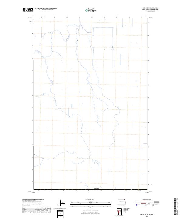
2014 Neche OE N
Pembina County, ND
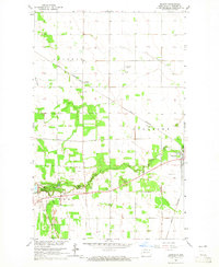
2014 North Salt Lake
Pembina County, ND
2014 Pembina OE N
Pembina County, ND
2014 Saint Thomas
Pembina County, ND
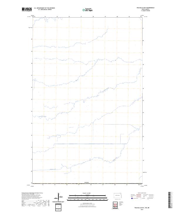
2014 Walhalla OE N
Pembina County, ND
2017 Backoo
Pembina County, ND
2017 Bathgate NE OE N
Pembina County, ND
2017 Bathgate NE
Pembina County, ND
2017 Bathgate OE N
Pembina County, ND
2017 Bathgate SE
Pembina County, ND
2017 Bowesmont
Pembina County, ND
2017 Cavalier NW OE N
Pembina County, ND
2017 Cavalier NW
Pembina County, ND
2017 Crystal NE
Pembina County, ND
2017 Crystal SE
Pembina County, ND
2017 Gardar
Pembina County, ND
2017 Glasston NE
Pembina County, ND
2017 Glasston
Pembina County, ND
2017 Hallson
Pembina County, ND
2017 Hanks Corner
Pembina County, ND
2017 Hensel
Pembina County, ND
2017 Joliette
Pembina County, ND
2017 Leroy OE N
Pembina County, ND
2017 Leroy
Pembina County, ND
2017 Neche OE N
Pembina County, ND
2017 North Salt Lake
Pembina County, ND
2017 Pembina OE N
Pembina County, ND
2017 Saint Thomas
Pembina County, ND
2017 Walhalla OE N
Pembina County, ND
2020 Backoo
Pembina County, ND
2020 Bathgate NE OE N
Pembina County, ND
2020 Bathgate NE
Pembina County, ND
2020 Bathgate OE N
Pembina County, ND
2020 Bathgate SE
Pembina County, ND
2020 Bowesmont
Pembina County, ND
2020 Cavalier NW OE N
Pembina County, ND
2020 Cavalier NW
Pembina County, ND
2020 Crystal NE
Pembina County, ND
2020 Crystal SE
Pembina County, ND

2020 Gardar
Pembina County, ND
2020 Glasston NE
Pembina County, ND
2020 Glasston
Pembina County, ND
2020 Hallson
Pembina County, ND
2020 Hanks Corner
Pembina County, ND
2020 Hensel
Pembina County, ND
2020 Joliette
Pembina County, ND
2020 Leroy OE N
Pembina County, ND
2020 Leroy
Pembina County, ND
2020 Neche OE N
Pembina County, ND
2020 North Salt Lake
Pembina County, ND
2020 Pembina OE N
Pembina County, ND
2020 Saint Thomas
Pembina County, ND
2020 Walhalla OE N
Pembina County, ND
2024 Backoo
Pembina County, ND
2024 Bathgate NE OE N
Pembina County, ND
2024 Bathgate NE
Pembina County, ND
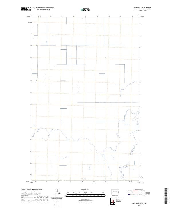
2024 Bathgate OE N
Pembina County, ND
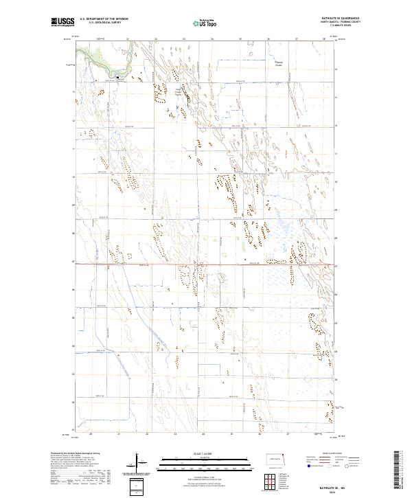
2024 Bathgate SE
Pembina County, ND
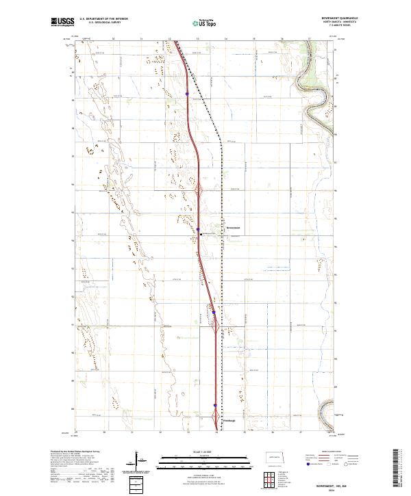
2024 Bowesmont
Pembina County, ND
2024 Cavalier NW OE N
Pembina County, ND
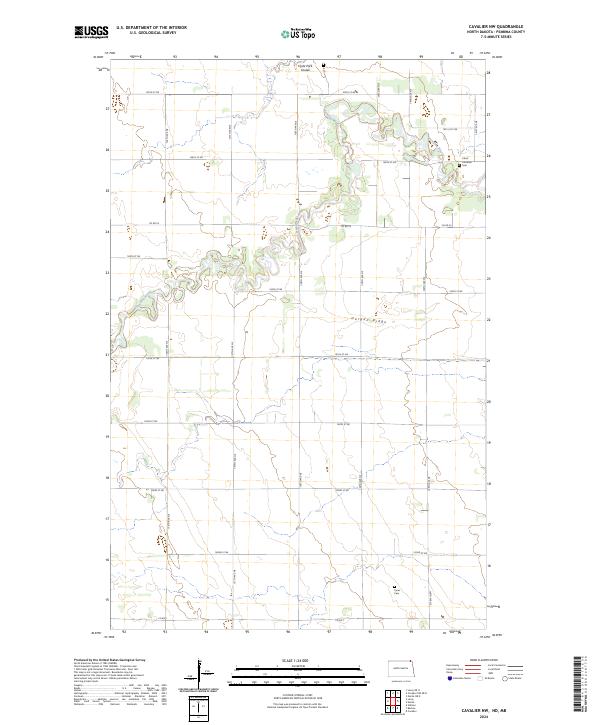
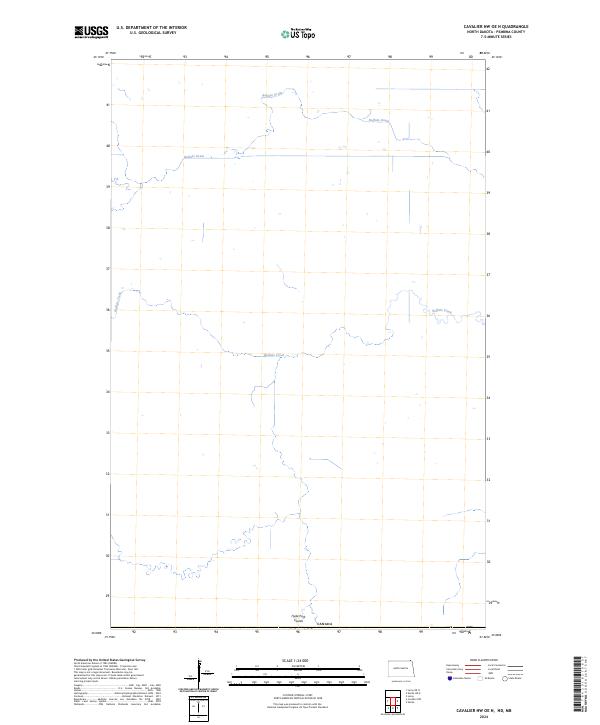
2024 Cavalier NW
Pembina County, ND
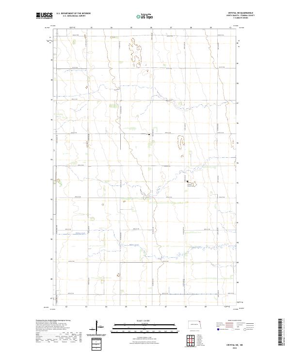
2024 Crystal NE
Pembina County, ND
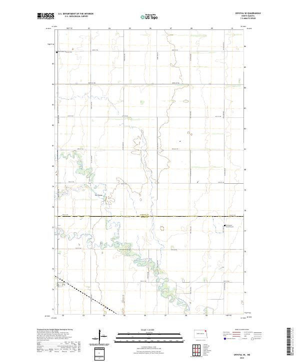
2024 Crystal SE
Pembina County, ND
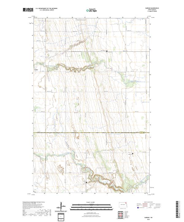
2024 Gardar
Pembina County, ND
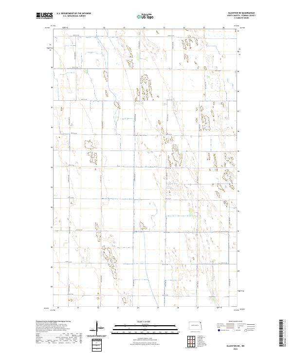
2024 Glasston NE
Pembina County, ND
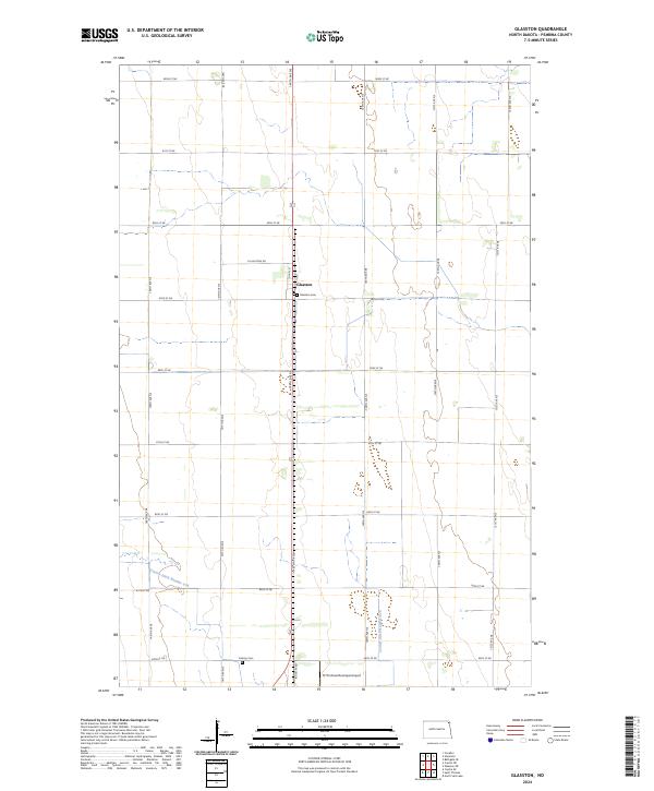
2024 Glasston
Pembina County, ND
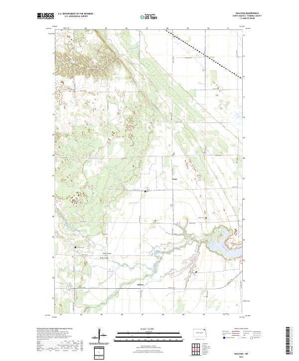
2024 Hallson
Pembina County, ND
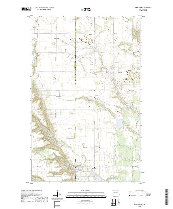
2024 Hanks Corner
Pembina County, ND
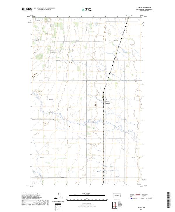
2024 Hensel
Pembina County, ND
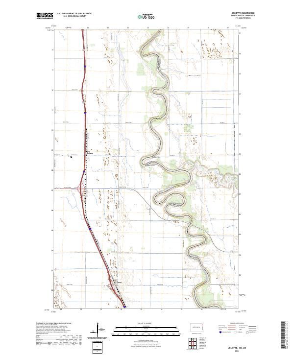
2024 Joliette
Pembina County, ND
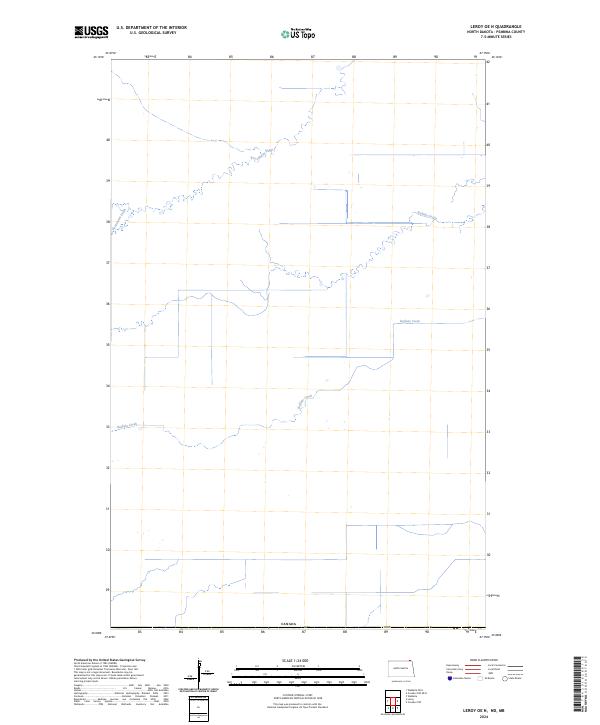
2024 Leroy OE N
Pembina County, ND
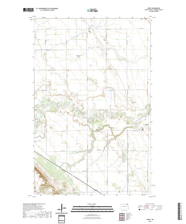
2024 Leroy
Pembina County, ND
2024 Neche OE N
Pembina County, ND
2024 North Salt Lake
Pembina County, ND
2024 Pembina OE N
Pembina County, ND

2024 Saint Thomas
Pembina County, ND
2024 Walhalla OE N
Pembina County, ND