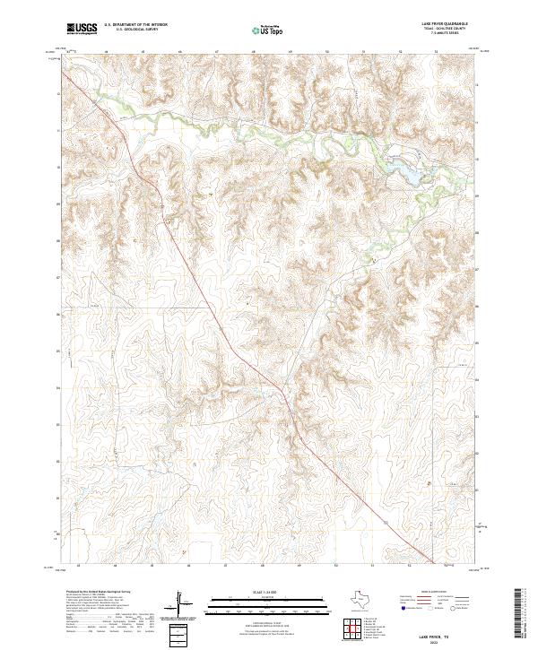
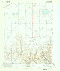
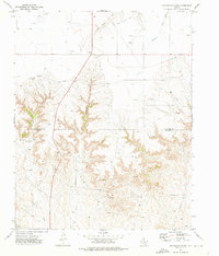
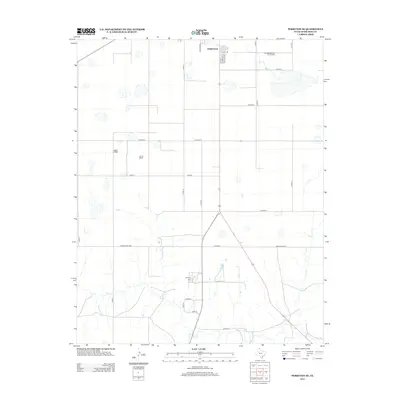
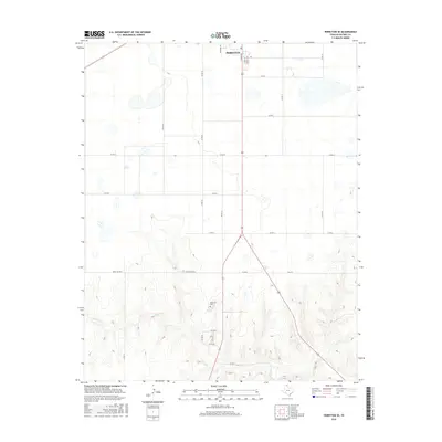
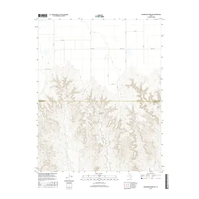
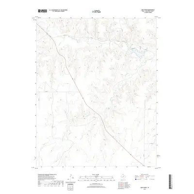
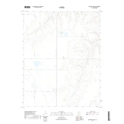
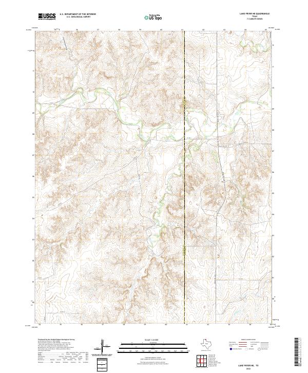
2022 Map of Lake Fryer
USGS Topo · Published 2022About this map
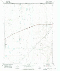
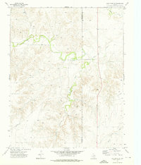
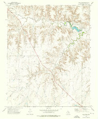
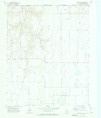
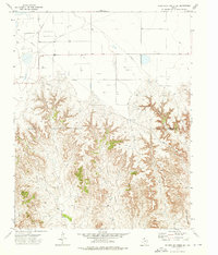
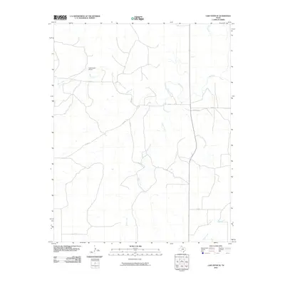
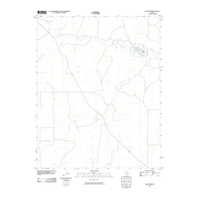
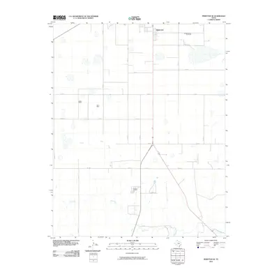
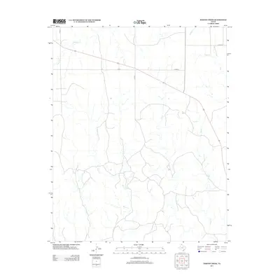
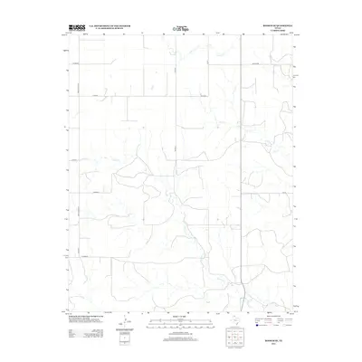
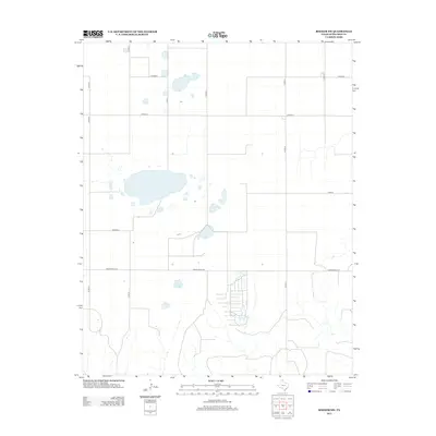
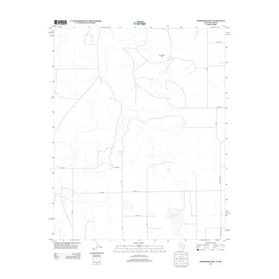
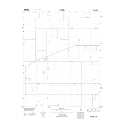
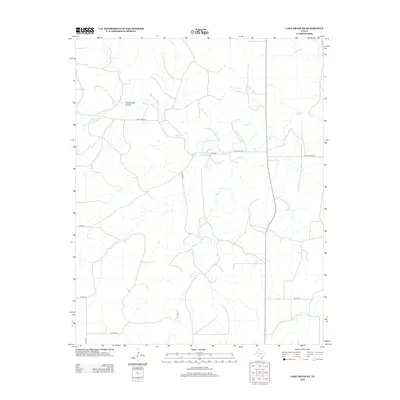
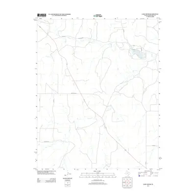
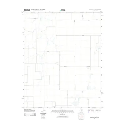
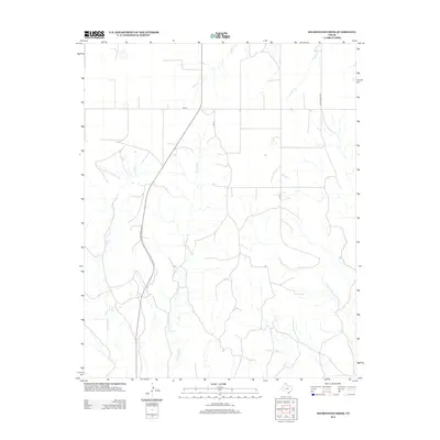
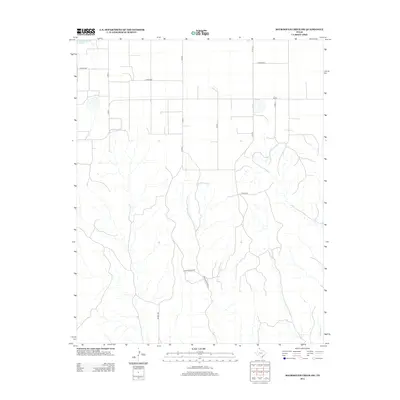
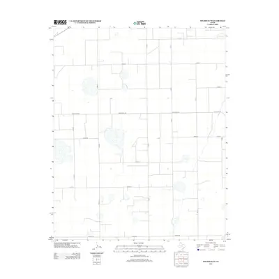
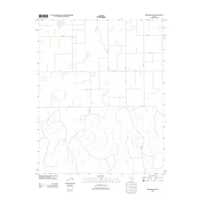
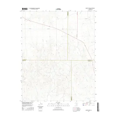
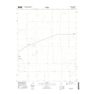
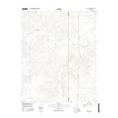
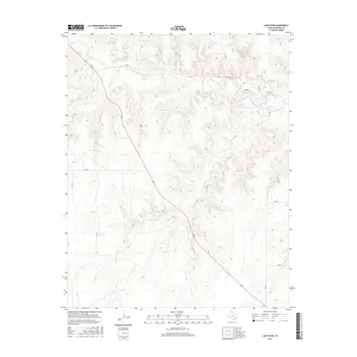
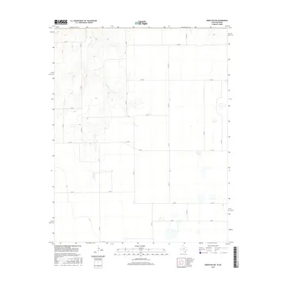
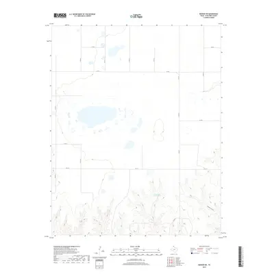
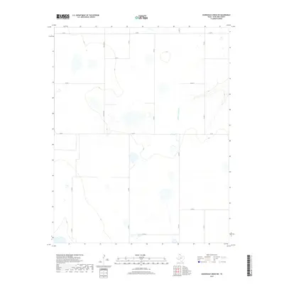
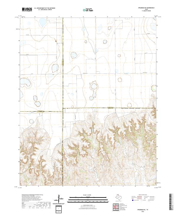
Lake Fryer serves as a central landmark in this portion of the Texas Panhandle, where the high plains are deeply incised by a drainage system flowing toward the northeast. The geography is defined by the winding course of Wolf Creek and its various tributaries, including Wolf Cr, S Wolf Cr, and Northup Cr. These waterways create a complex series of draws and ridges that break the flat horizon of Ochiltree County.
Find a feature on this map
13 named features on this map. Tap any name to fly to it.
Don’t see what you’re looking for? This feature index may not catch every label — zoom into the map to look around manually.
Map Details
Editions of this 2022 Lake Fryer Map
This is the sole edition of this map. No revisions or reprints were ever made.
Historical Maps of Ochiltree County Through Time
96 maps found
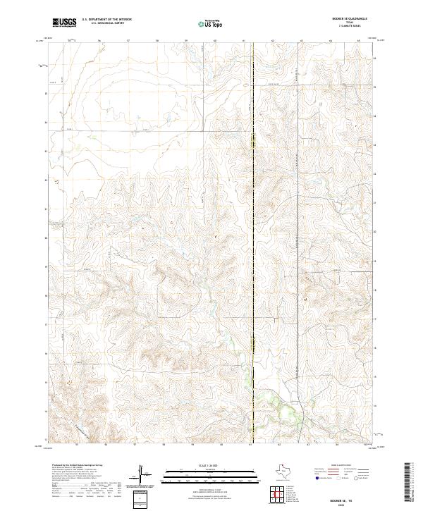
1972 Booker SE
Ochiltree County, TX
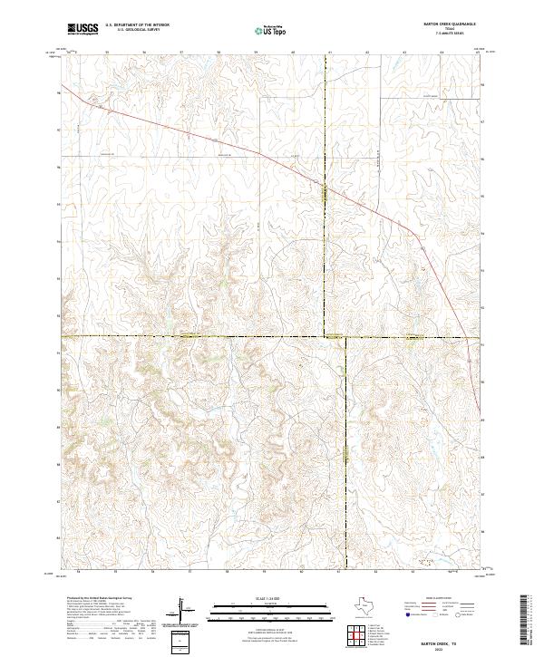
1973 Barton Creek
Ochiltree County, TX
1973 Booker SW
Ochiltree County, TX

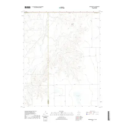
1973 Horseshoe Hill
Ochiltree County, TX
1973 Huntoon
Ochiltree County, TX
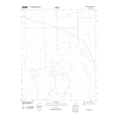
1973 Lake Fryer NE
Ochiltree County, TX
1973 Lake Fryer
Ochiltree County, TX
1973 Perryton NW
Ochiltree County, TX
1973 Perryton SE
Ochiltree County, TX
1973 Pickett Ranch Creek
Ochiltree County, TX
1973 Sourdough Creek NE
Ochiltree County, TX
1973 Sourdough Creek NW
Ochiltree County, TX
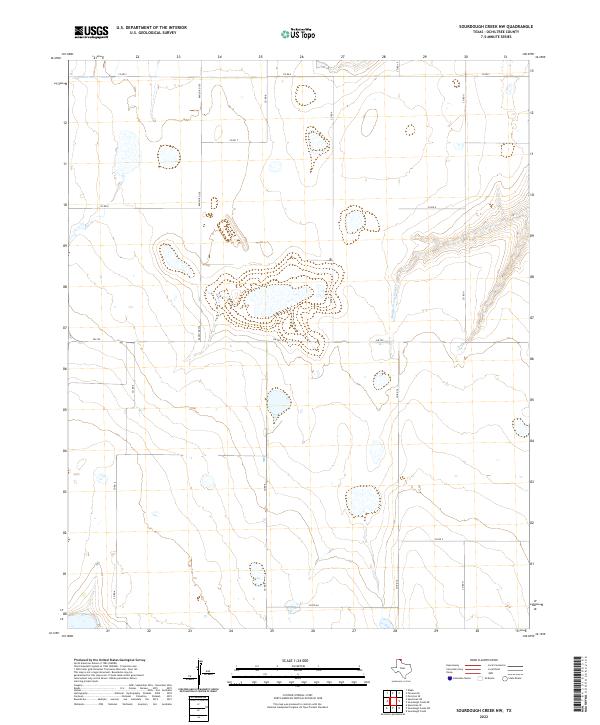
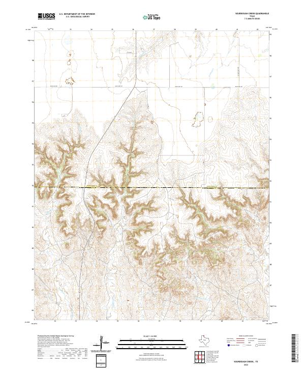
1973 Sourdough Creek
Ochiltree County, TX
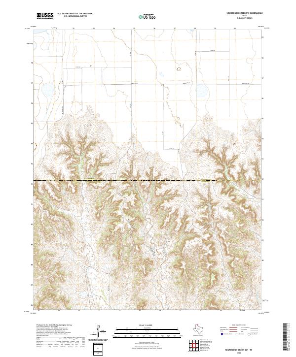
1973 Sourdough Creek SW
Ochiltree County, TX
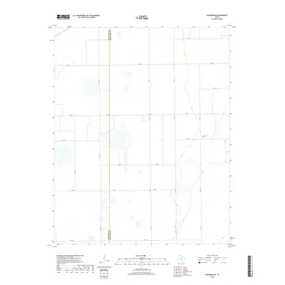
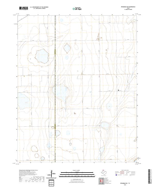
1973 Spearman NE
Ochiltree County, TX
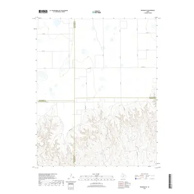
1973 Spearman SE
Ochiltree County, TX
2010 Barton Creek
Ochiltree County, TX
2010 Booker SE
Ochiltree County, TX
2010 Booker SW
Ochiltree County, TX
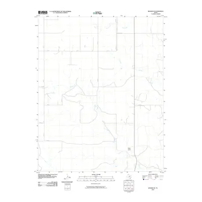
2010 Horseshoe Hill
Ochiltree County, TX
2010 Huntoon
Ochiltree County, TX
2010 Lake Fryer NE
Ochiltree County, TX
2010 Lake Fryer
Ochiltree County, TX
2010 Perryton NW
Ochiltree County, TX
2010 Perryton SE
Ochiltree County, TX
2010 Pickett Ranch Creek
Ochiltree County, TX
2010 Sourdough Creek NE
Ochiltree County, TX
2010 Sourdough Creek NW
Ochiltree County, TX
2010 Sourdough Creek
Ochiltree County, TX
2010 Sourdough Creek SW
Ochiltree County, TX
2010 Spearman NE
Ochiltree County, TX
2010 Spearman SE
Ochiltree County, TX
2012 Barton Creek
Ochiltree County, TX
2012 Booker SE
Ochiltree County, TX
2012 Booker SW
Ochiltree County, TX
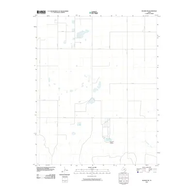
2012 Horseshoe Hill
Ochiltree County, TX
2012 Huntoon
Ochiltree County, TX
2012 Lake Fryer NE
Ochiltree County, TX
2012 Lake Fryer
Ochiltree County, TX
2012 Perryton NW
Ochiltree County, TX
2012 Perryton SE
Ochiltree County, TX
2012 Pickett Ranch Creek
Ochiltree County, TX
2012 Sourdough Creek NE
Ochiltree County, TX
2012 Sourdough Creek NW
Ochiltree County, TX
2012 Sourdough Creek
Ochiltree County, TX
2012 Sourdough Creek SW
Ochiltree County, TX
2012 Spearman NE
Ochiltree County, TX
2012 Spearman SE
Ochiltree County, TX
2016 Barton Creek
Ochiltree County, TX
2016 Booker SE
Ochiltree County, TX
2016 Booker SW
Ochiltree County, TX
2016 Horseshoe Hill
Ochiltree County, TX
2016 Huntoon
Ochiltree County, TX
2016 Lake Fryer NE
Ochiltree County, TX
2016 Lake Fryer
Ochiltree County, TX
2016 Perryton NW
Ochiltree County, TX
2016 Perryton SE
Ochiltree County, TX
2016 Pickett Ranch Creek
Ochiltree County, TX

2016 Sourdough Creek NE
Ochiltree County, TX
2016 Sourdough Creek NW
Ochiltree County, TX
2016 Sourdough Creek
Ochiltree County, TX
2016 Sourdough Creek SW
Ochiltree County, TX

2016 Spearman NE
Ochiltree County, TX
2016 Spearman SE
Ochiltree County, TX
2019 Barton Creek
Ochiltree County, TX
2019 Booker SE
Ochiltree County, TX
2019 Booker SW
Ochiltree County, TX
2019 Horseshoe Hill
Ochiltree County, TX
2019 Huntoon
Ochiltree County, TX
2019 Lake Fryer NE
Ochiltree County, TX
2019 Lake Fryer
Ochiltree County, TX
2019 Perryton NW
Ochiltree County, TX
2019 Perryton SE
Ochiltree County, TX
2019 Pickett Ranch Creek
Ochiltree County, TX
2019 Sourdough Creek NE
Ochiltree County, TX
2019 Sourdough Creek NW
Ochiltree County, TX
2019 Sourdough Creek
Ochiltree County, TX
2019 Sourdough Creek SW
Ochiltree County, TX
2019 Spearman NE
Ochiltree County, TX
2019 Spearman SE
Ochiltree County, TX
2022 Barton Creek
Ochiltree County, TX
2022 Booker SE
Ochiltree County, TX
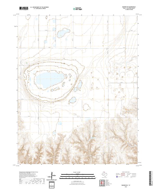
2022 Booker SW
Ochiltree County, TX
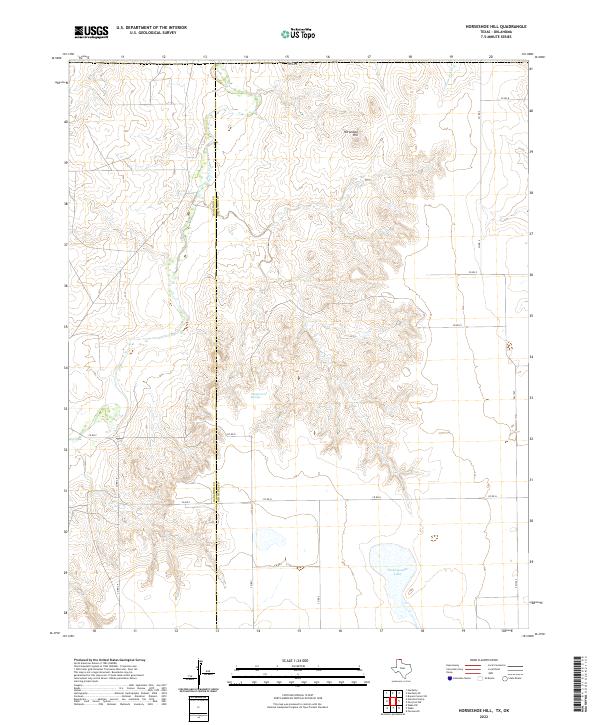
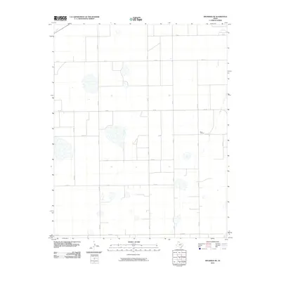
2022 Horseshoe Hill
Ochiltree County, TX
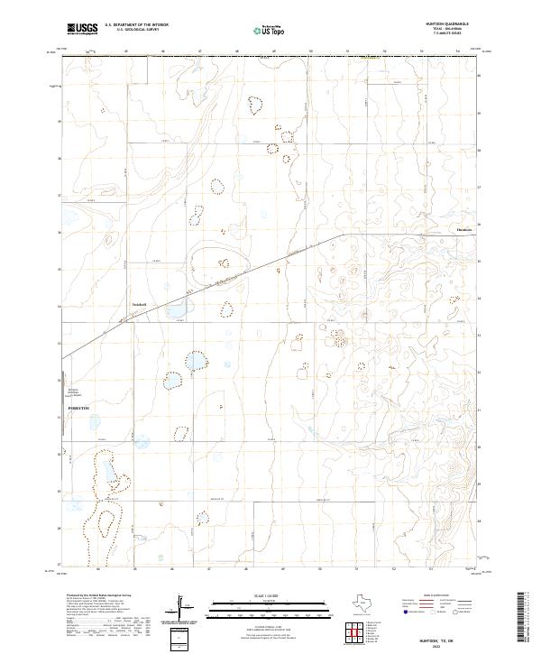
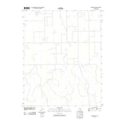
2022 Huntoon
Ochiltree County, TX
2022 Lake Fryer NE
Ochiltree County, TX
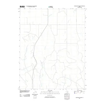
2022 Lake Fryer
Ochiltree County, TX
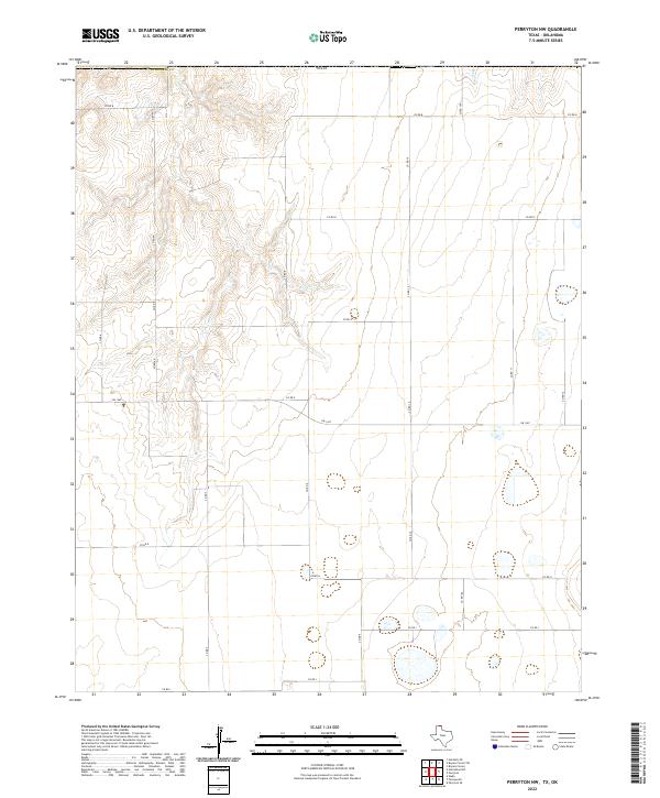
2022 Perryton NW
Ochiltree County, TX
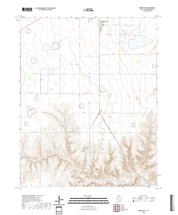
2022 Perryton SE
Ochiltree County, TX
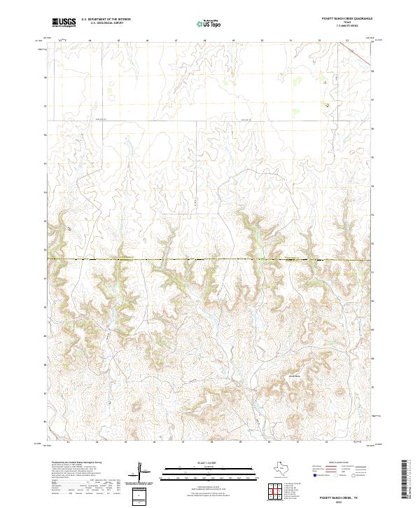
2022 Pickett Ranch Creek
Ochiltree County, TX
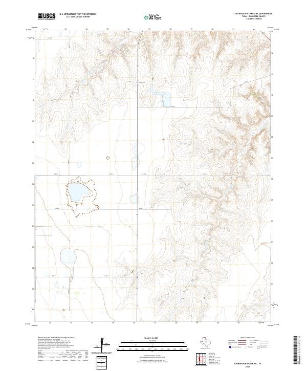
2022 Sourdough Creek NE
Ochiltree County, TX
2022 Sourdough Creek NW
Ochiltree County, TX
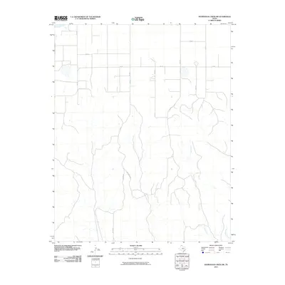
2022 Sourdough Creek
Ochiltree County, TX
2022 Sourdough Creek SW
Ochiltree County, TX
2022 Spearman NE
Ochiltree County, TX
2022 Spearman SE
Ochiltree County, TX