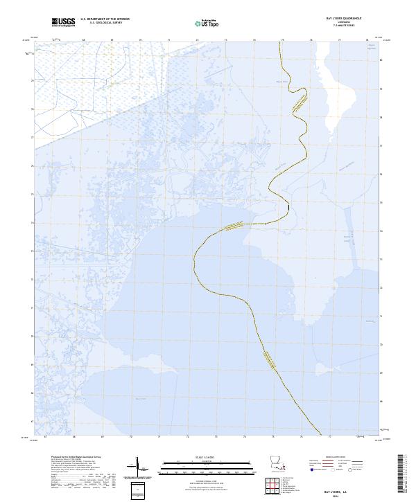
2024 Map of Bay L'Ours
USGS Topo · Published 2024About this map
The low-lying wetlands of southern Louisiana define the geography of the Bay L'Ours region, where the aquatic landscape is shaped by a intricate network of bayous and tidal bays. This 2024 survey documents the meandering course of Bayou Perot and the expanse of Bayou Rigolettes as they define the boundary between Lafourche Parish and Jefferson Parish. The area is characterized by vast reaches of marshland, with open water features like Turtle Bay and Bayou de la Gauche providing the primary structure to a landscape largely devoid of terrestrial roads or settlements. The presence of the Harvey Cutoff indicates the ongoing importance of managed water channels in this fragile deltaic environment, serving as a vital link for local navigation and coastal water management at the current date.
Find a feature on this map
11 named features on this map. Tap any name to fly to it.
Don’t see what you’re looking for? This feature index may not catch every label — zoom into the map to look around manually.
Map Details
Editions of this 2024 Bay L'Ours Map
This is the sole edition of this map. No revisions or reprints were ever made.
Other maps of this area

1892 · Barataria
USGS Topo · 1:62,500

1892 · Cut-Off
USGS Topo · 1:62,500

1892 · Creole
USGS Topo · 1:62,500

1894 · Lake Felicity
USGS Topo · 1:62,500

1935 · Golden Meadow
USGS Topo · 1:31,680

1939 · Cut-Off
USGS Topo · 1:62,500

1939 · Lake Felicity
USGS Topo · 1:62,500

1941 · Cut-Off
USGS Topo · 1:62,500

1941 · Lake Felicity
USGS Topo · 1:62,500

1941 · Barataria
USGS Topo · 1:62,500