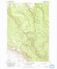
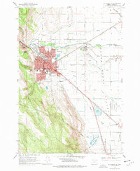
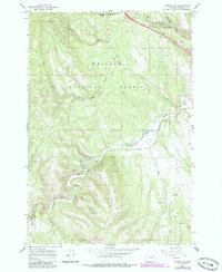
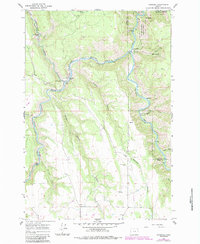
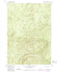
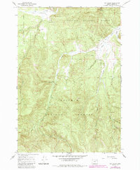
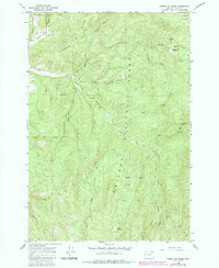
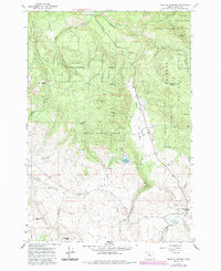
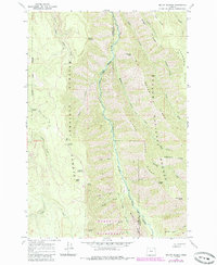
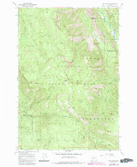
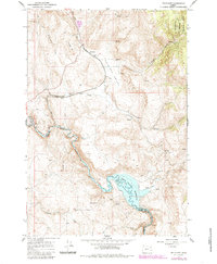
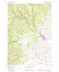
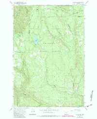
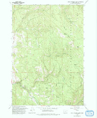
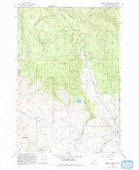
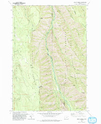
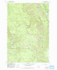
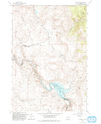
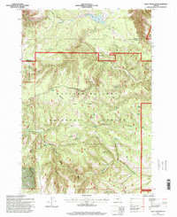
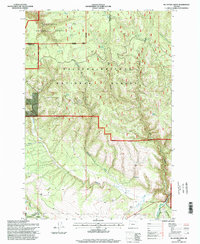
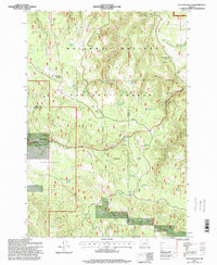
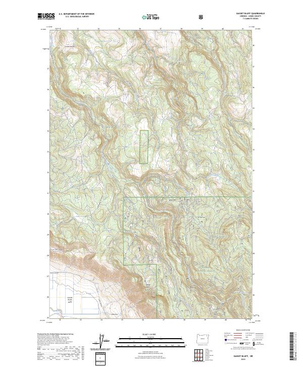
1993 Map of Gasset Bluff
USGS Topo · Published 1993About this map
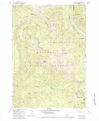
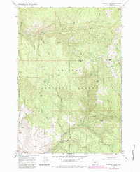
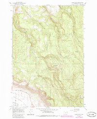
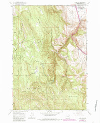
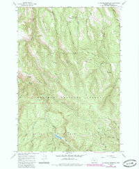
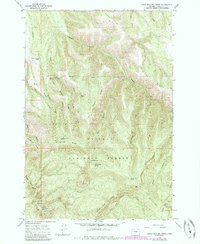
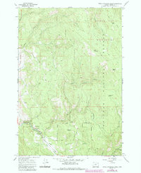
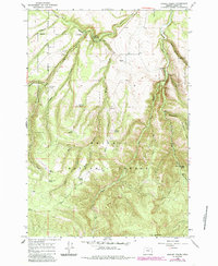
Whitman National Forest dominates this landscape in Union County, where the high ridges of Grey Mountain and the prominent Gasset Bluff overlook the eastern edge of the Grande Ronde Valley. The drainage patterns here are well-defined by Indian Creek and the various forks of Clark Creek, which cut through the timbered slopes before descending toward the Grande Ronde River at the valley floor.
Find a feature on this map
18 named features on this map. Tap any name to fly to it.
Don’t see what you’re looking for? This feature index may not catch every label — zoom into the map to look around manually.
Map Details
Editions of this 1993 Gasset Bluff Map
This is the sole edition of this map. No revisions or reprints were ever made.
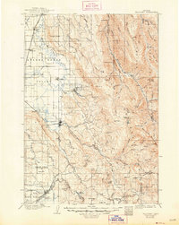
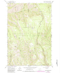
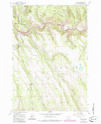
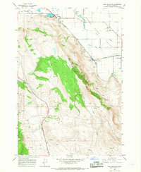
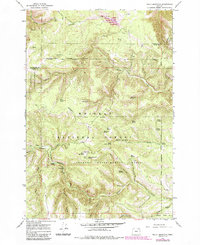
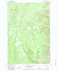
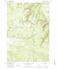
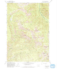
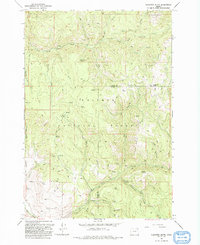
Historical Maps of Union County Through Time
84 maps found
1906 Telocaset
Union County, OR
1963 Andies Prairie
Union County, OR
1963 Hilgard
Union County, OR
1963 La Grande SE
Union County, OR
1963 Sanderson Spring
Union County, OR
1964 Cricket Flat
Union County, OR
1964 Drumhill Ridge
Union County, OR
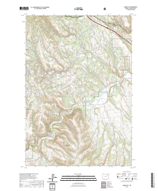
1964 Kamela SE
Union County, OR
1964 Mc Intyre Creek
Union County, OR
1964 Partridge Creek
Union County, OR
1964 Rondowa
Union County, OR
1965 Anthony Butte
Union County, OR
1965 China Cap
Union County, OR
1965 Conley
Union County, OR
1965 Flagstaff Butte
Union County, OR
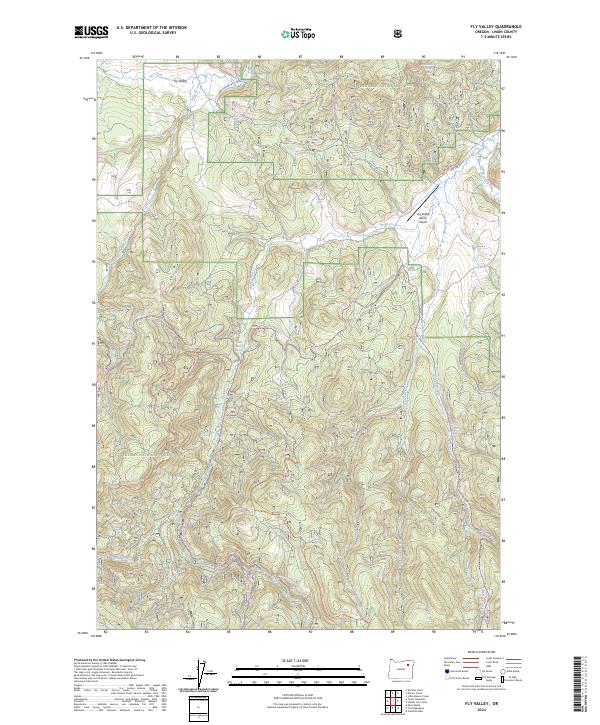
1965 Fly Valley
Union County, OR
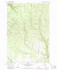
1965 Gasset Bluff
Union County, OR
1965 Glass Hill
Union County, OR
1965 La Grande Reservoir
Union County, OR
1965 Limber Jim Creek
Union County, OR
1965 Little Beaver Creek
Union County, OR
1965 Little Catherine Creek
Union County, OR
1965 Marley Creek
Union County, OR
1965 Medical Springs
Union County, OR
1965 Mount Moriah
Union County, OR
1965 Mt. Fanny
Union County, OR
1965 Telocaset
Union County, OR
1965 Tucker Flat
Union County, OR
1966 Craig Mountain
Union County, OR
1967 Bally Mountain
Union County, OR
1967 Fry Meadow
Union County, OR
1967 Jubilee Lake
Union County, OR
1967 Sullivan Gulch
Union County, OR
1993 China Cap
Union County, OR
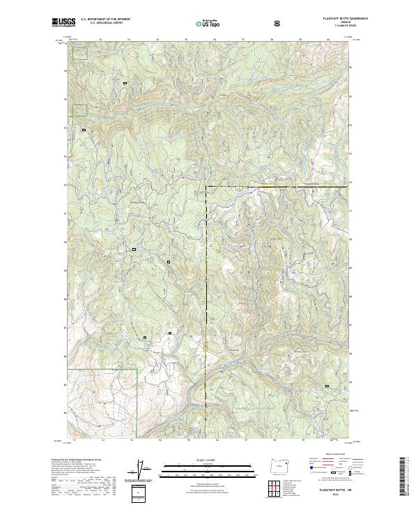
1993 Flagstaff Butte
Union County, OR
1993 Gasset Bluff
Union County, OR
1993 Little Catherine Creek
Union County, OR
1993 Medical Springs
Union County, OR
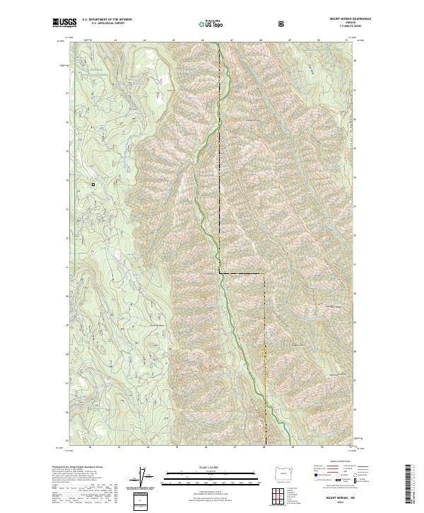
1993 Mount Moriah
Union County, OR
1993 Mt. Fanny
Union County, OR
1993 Telocaset
Union County, OR
1994 Conley
Union County, OR
1994 Craig Mountain
Union County, OR
1995 Andies Prairie
Union County, OR
1995 Bally Mountain
Union County, OR
1995 Drumhill Ridge
Union County, OR
1995 Fry Meadow
Union County, OR
1995 Jubilee Lake
Union County, OR
1995 Mc Intyre Creek
Union County, OR
1995 Partridge Creek
Union County, OR
1995 Rondowa
Union County, OR
1995 Sanderson Spring
Union County, OR
1995 Sullivan Gulch
Union County, OR
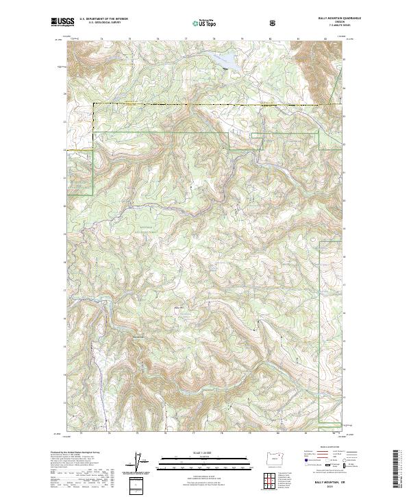
2023 Bally Mountain
Union County, OR
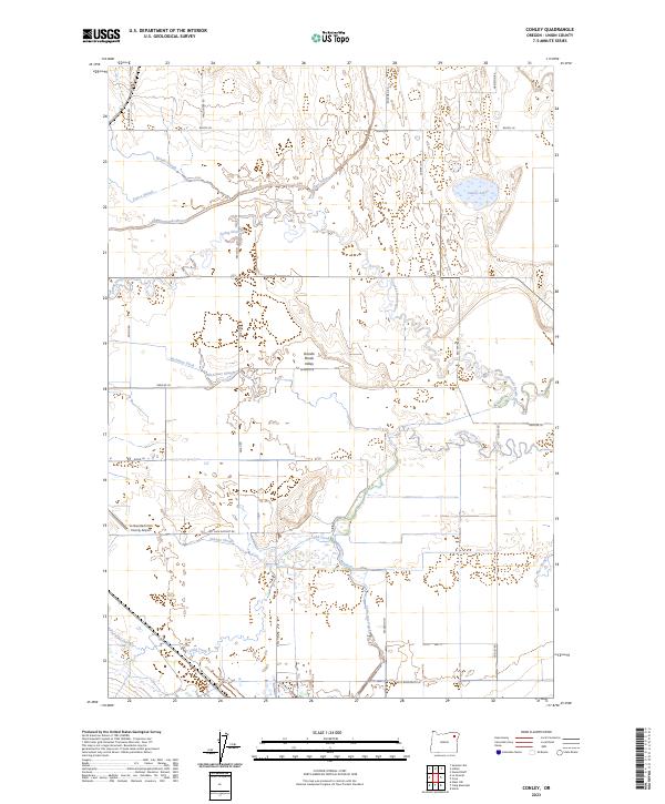
2023 Conley
Union County, OR
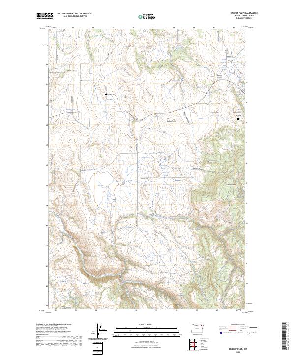
2023 Cricket Flat
Union County, OR
2023 Flagstaff Butte
Union County, OR
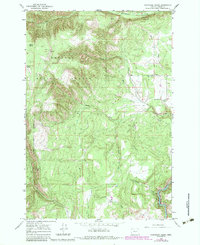
2023 Gasset Bluff
Union County, OR
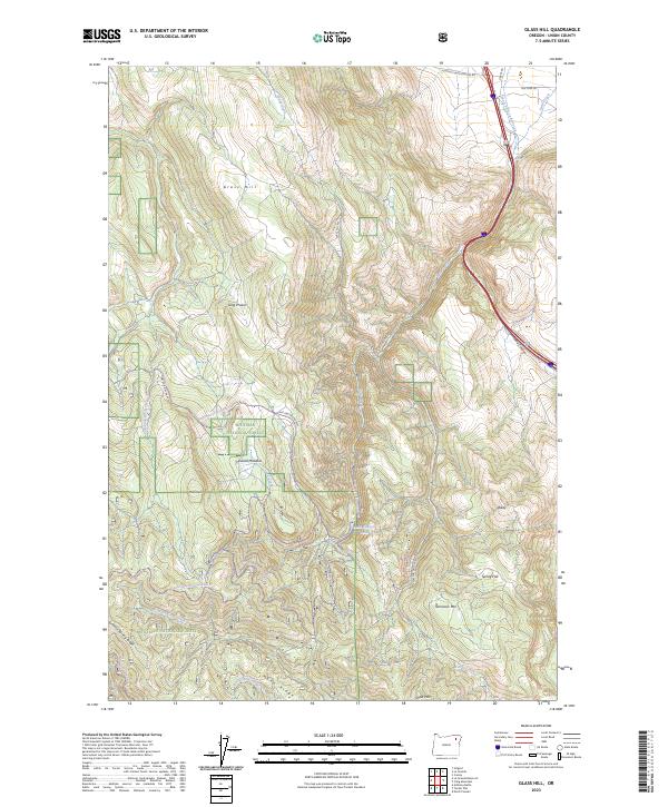
2023 Glass Hill
Union County, OR
2023 Kamela SE
Union County, OR
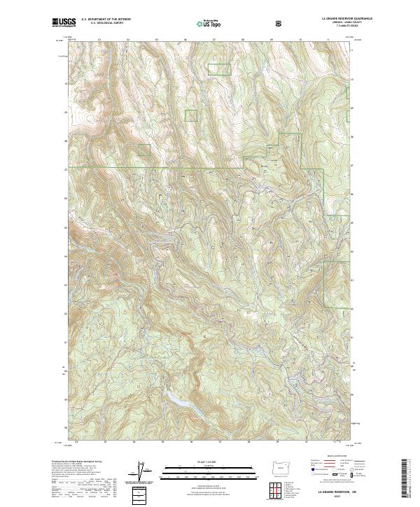
2023 La Grande Reservoir
Union County, OR
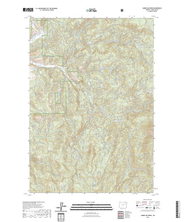
2023 Limber Jim Creek
Union County, OR
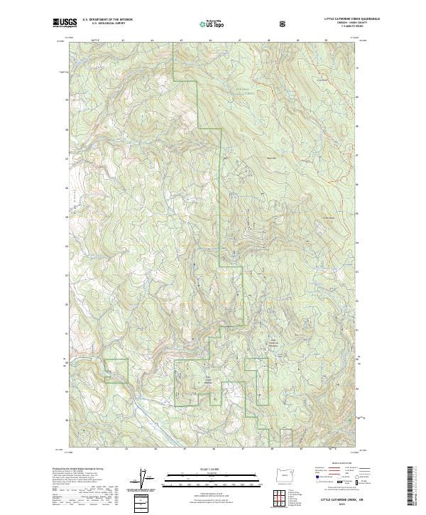
2023 Little Catherine Creek
Union County, OR
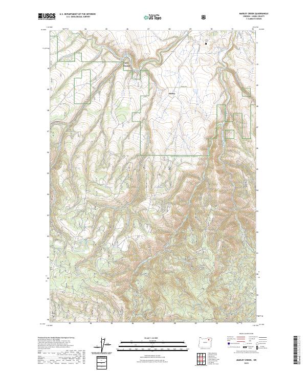
2023 Marley Creek
Union County, OR
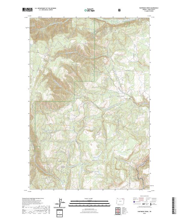
2023 Partridge Creek
Union County, OR
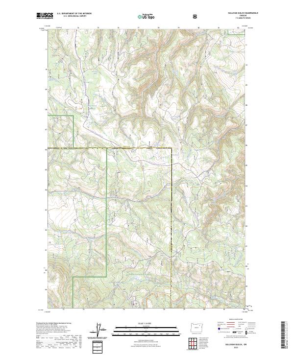
2023 Sullivan Gulch
Union County, OR
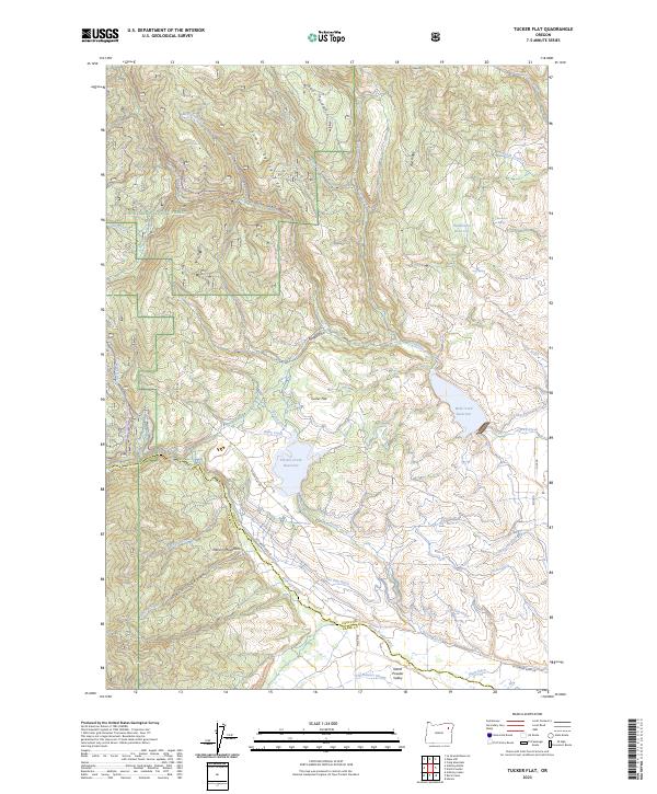
2023 Tucker Flat
Union County, OR
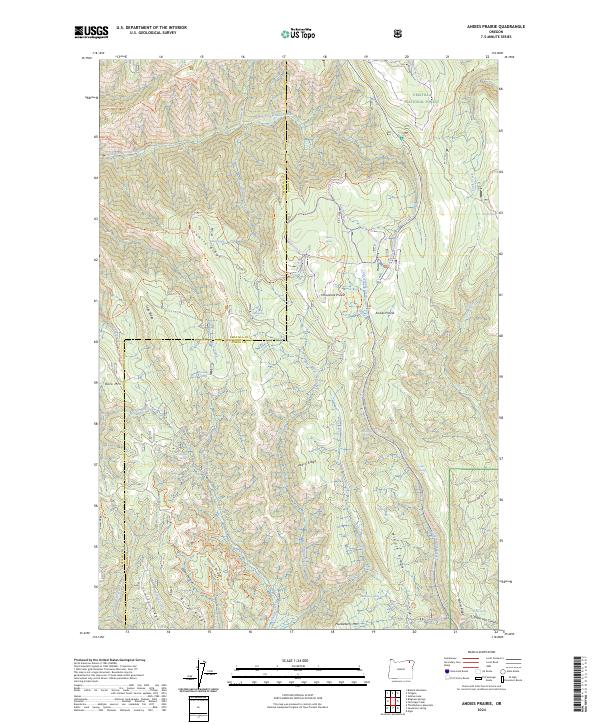
2024 Andies Prairie
Union County, OR
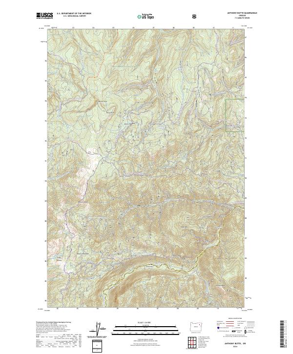
2024 Anthony Butte
Union County, OR
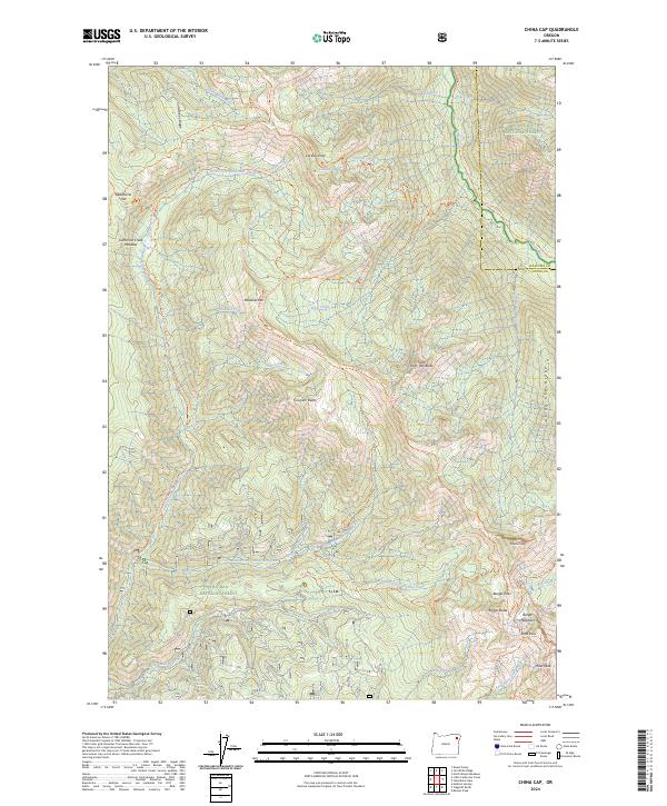
2024 China Cap
Union County, OR
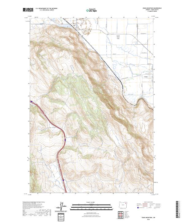
2024 Craig Mountain
Union County, OR
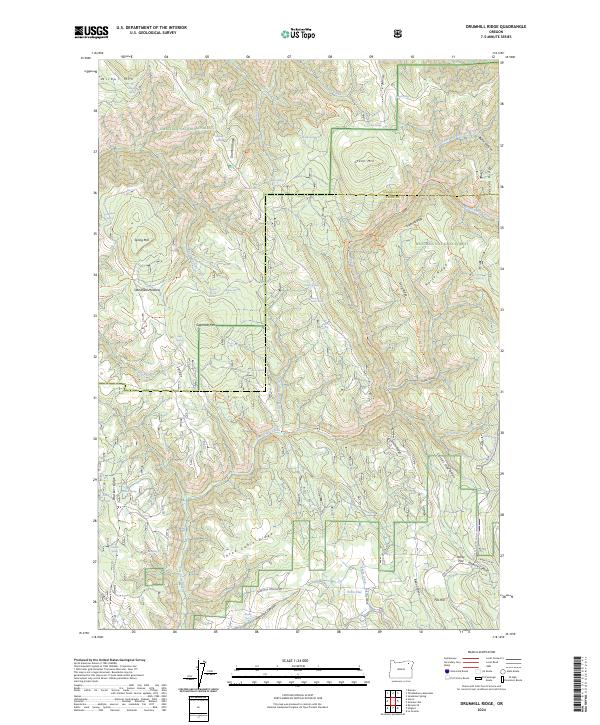
2024 Drumhill Ridge
Union County, OR
2024 Fly Valley
Union County, OR
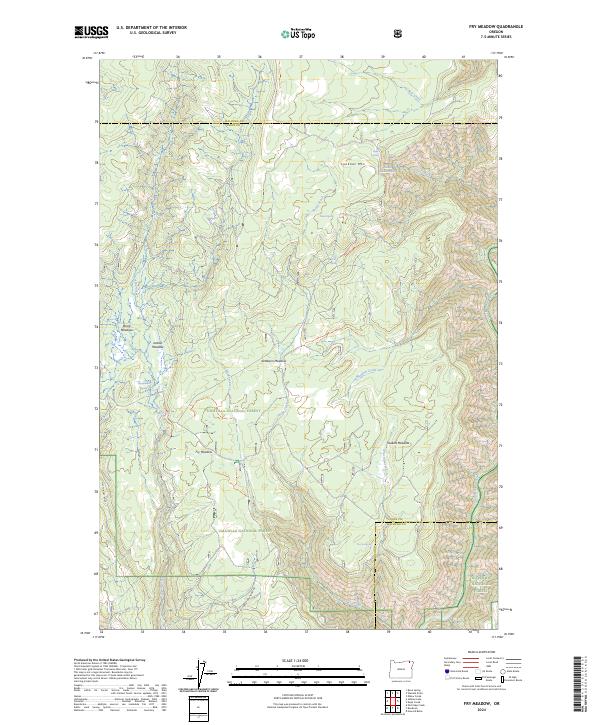
2024 Fry Meadow
Union County, OR
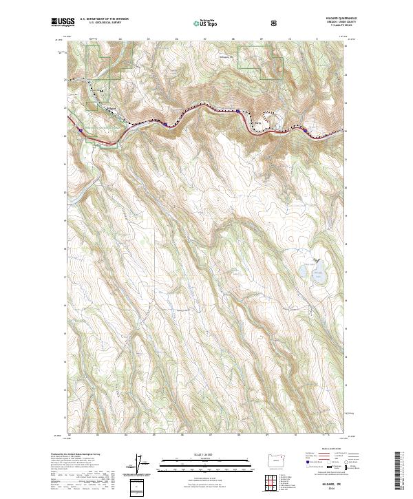
2024 Hilgard
Union County, OR
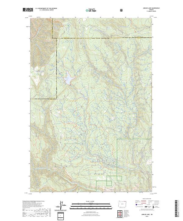
2024 Jubilee Lake
Union County, OR
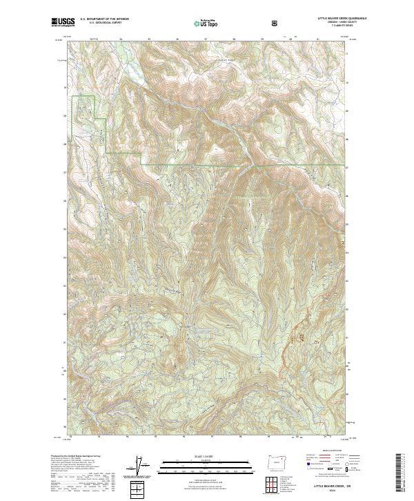
2024 Little Beaver Creek
Union County, OR
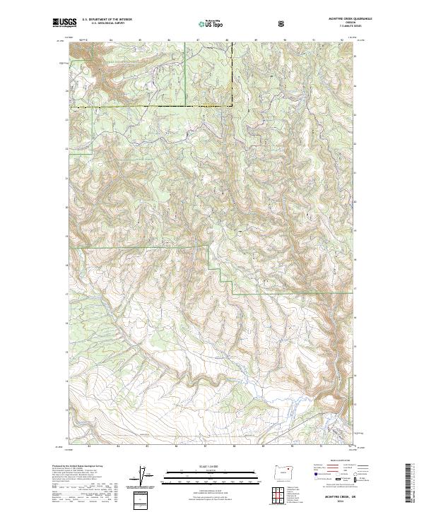
2024 McIntyre Creek
Union County, OR
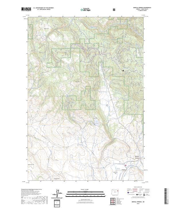
2024 Medical Springs
Union County, OR
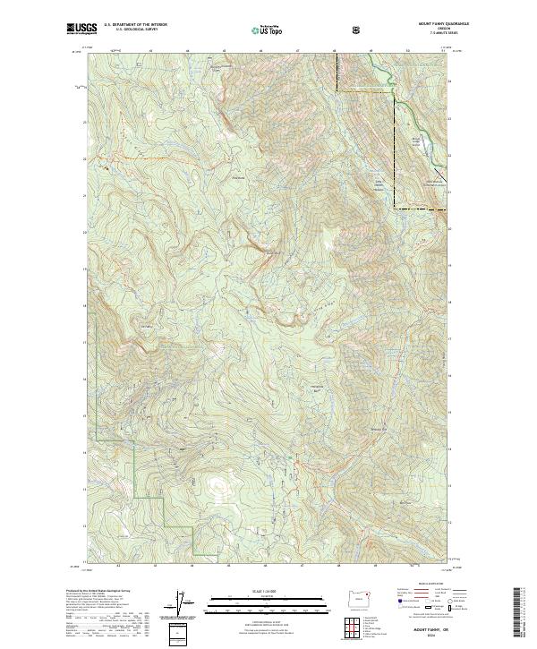
2024 Mount Fanny
Union County, OR
2024 Mount Moriah
Union County, OR
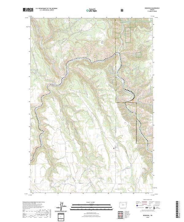
2024 Rondowa
Union County, OR
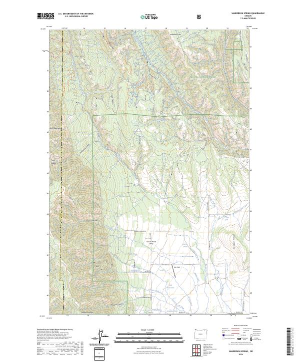
2024 Sanderson Spring
Union County, OR
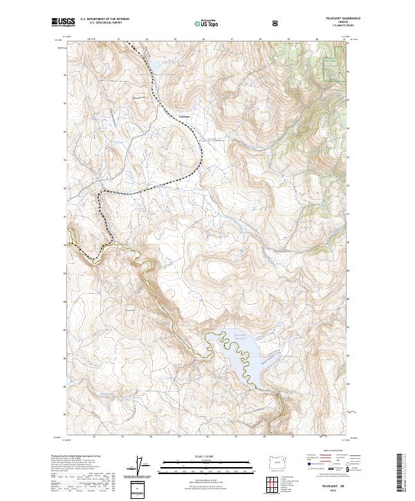
2024 Telocaset
Union County, OR