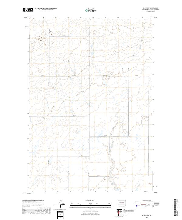
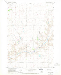
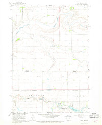
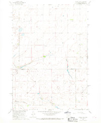
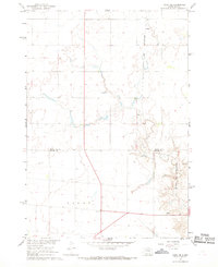
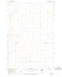
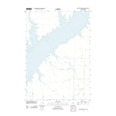
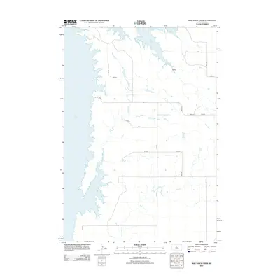
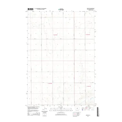
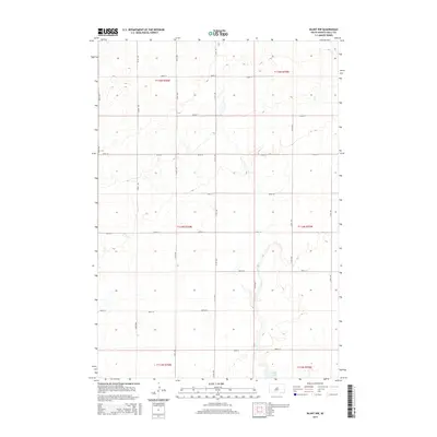
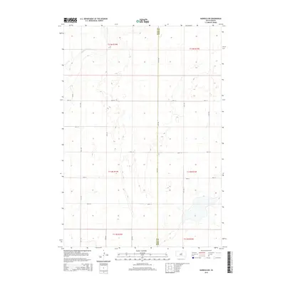
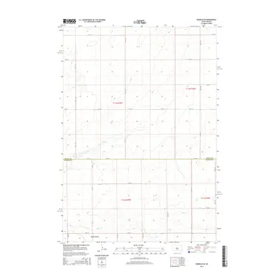
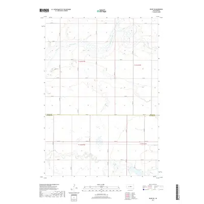
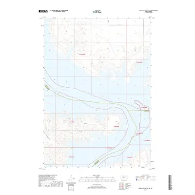
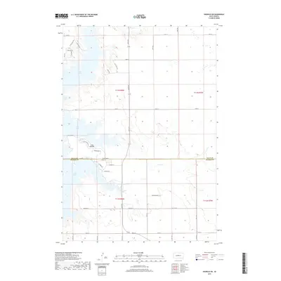
2021 Map of Blunt NW
USGS Topo · Published 2021About this map
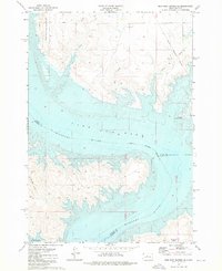
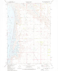
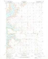
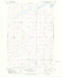
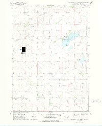
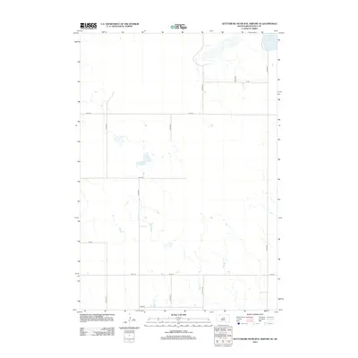
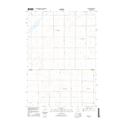
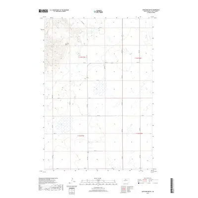
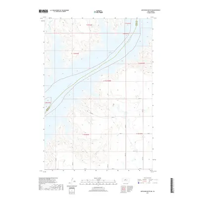
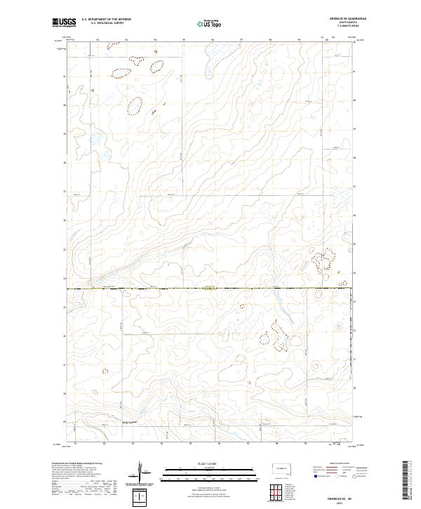
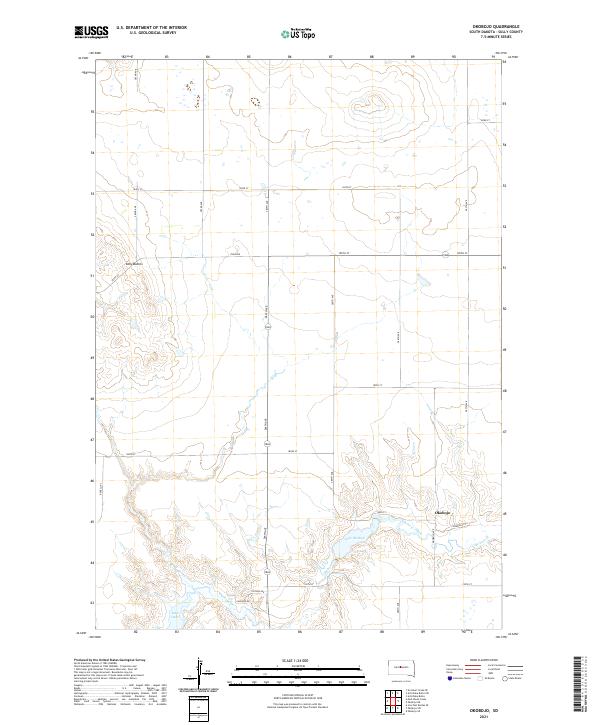
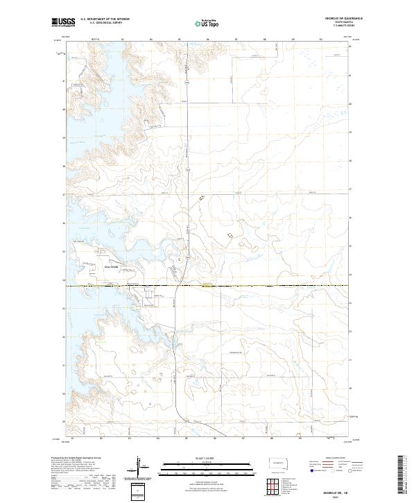
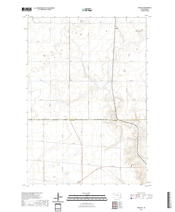
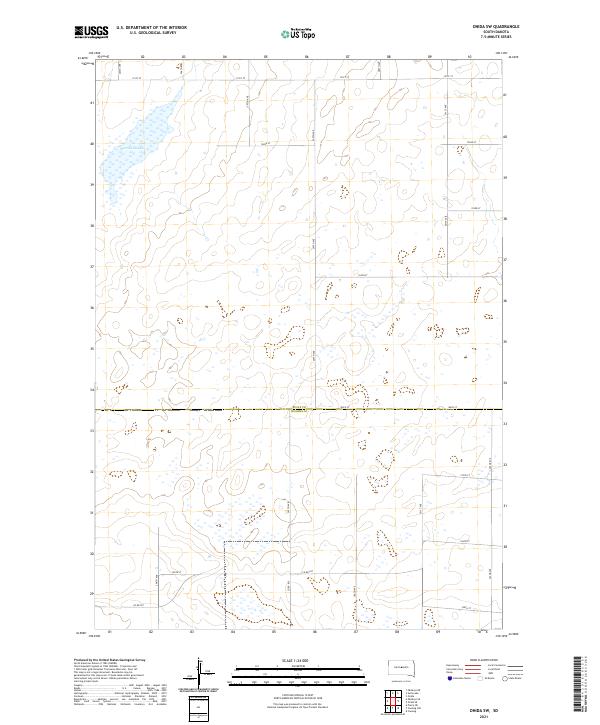
The agrarian landscape of Sully County is defined by the rigid grid of the Public Land Survey System, which establishes clear boundaries for several townships including t114n r76w and t115n r75w. This modern 2021 topographic survey reveals a terrain marked by subtle depressions and numerous seasonal wetlands scattered across the plains. Access throughout this rural area is facilitated by a network of sectional roads such as E Onida Rd and various numbered corridors including 309th Ave and 310th Ave. The map provides a detailed view of the drainage patterns and elevation changes across these vast sections of the South Dakota prairie, offering a clear record of the intersection between human-imposed township lines and the natural hydrology of the Great Plains.
Find a feature on this map
20 named features on this map. Tap any name to fly to it.
Don’t see what you’re looking for? This feature index may not catch every label — zoom into the map to look around manually.
Map Details
Editions of this 2021 Blunt NW Map
This is the sole edition of this map. No revisions or reprints were ever made.
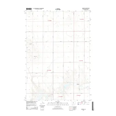
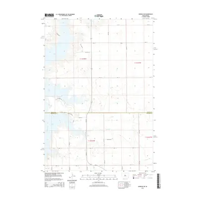
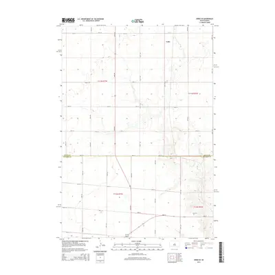
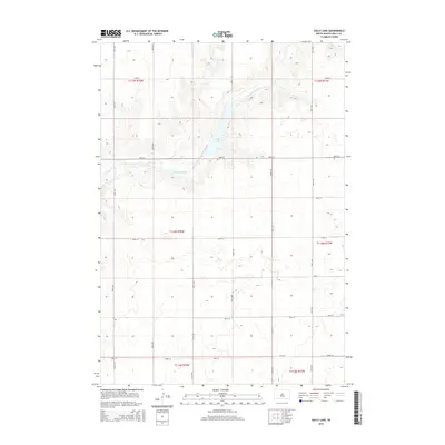
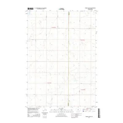
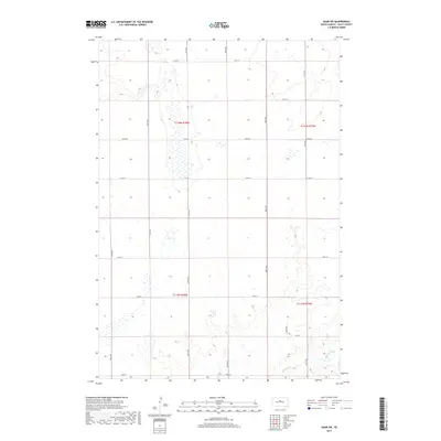
Historical Maps of Sully County Through Time
95 maps found
1965 Agar SW
Sully County, SD
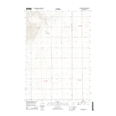
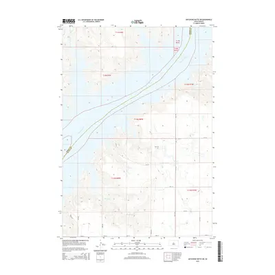
1965 Artichoke Butte
Sully County, SD
1965 Artichoke Butte SW
Sully County, SD
1965 Okobojo NE
Sully County, SD

1965 Okobojo
Sully County, SD
1965 Sully Lake
Sully County, SD
1967 Blunt NE
Sully County, SD
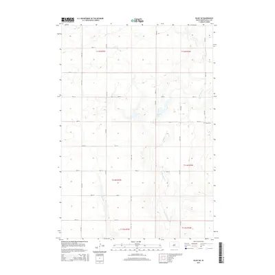
1967 Blunt NW
Sully County, SD
1967 Blunt SE
Sully County, SD
1967 Okobojo SE
Sully County, SD
1967 Onida SE
Sully County, SD
1967 Onida SW
Sully County, SD

1968 Harrold NW
Sully County, SD
1973 Iron Post Buttes SE
Sully County, SD
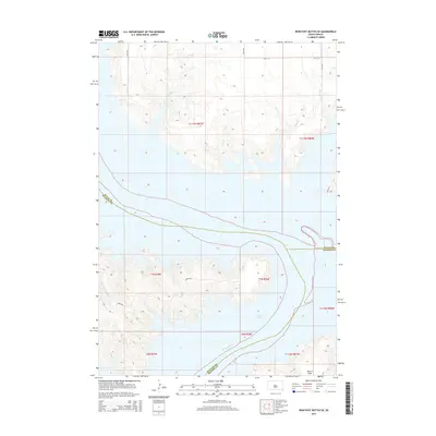
1973 Mail Shack Creek
Sully County, SD
1973 Okobojo SW
Sully County, SD
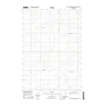
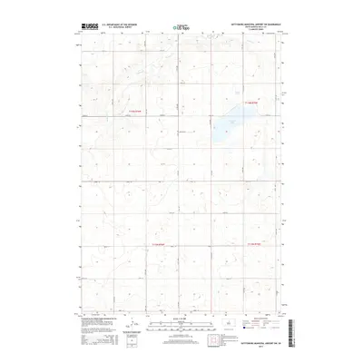
1974 Gettysburg Municipal Airport SE
Sully County, SD
1974 Gettysburg Municipal Airport SW
Sully County, SD
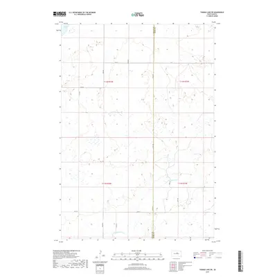
1978 Thomas Lake SW
Sully County, SD
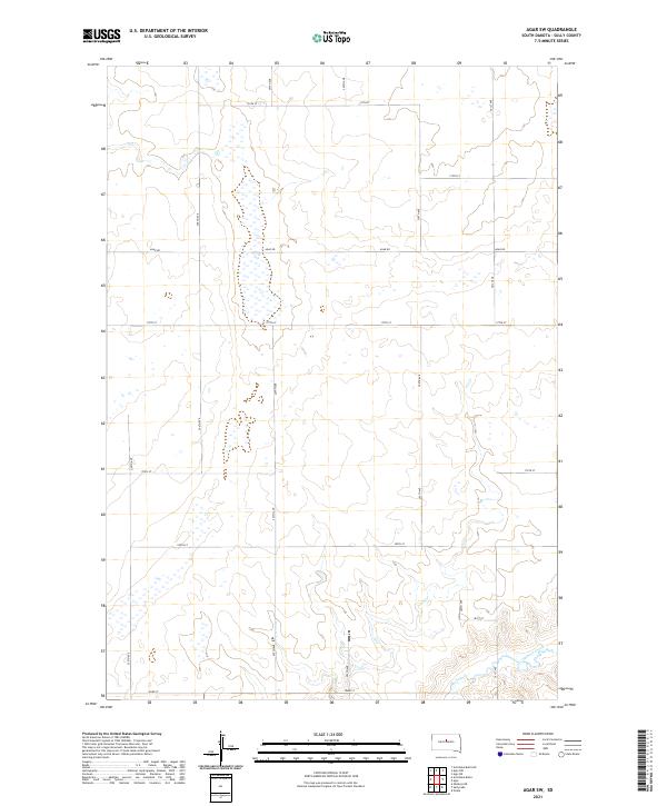
2012 Agar SW
Sully County, SD
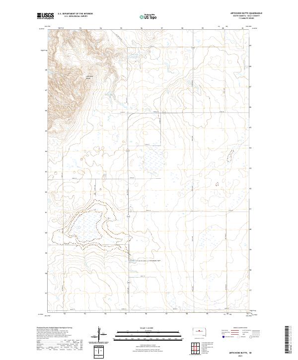
2012 Artichoke Butte
Sully County, SD
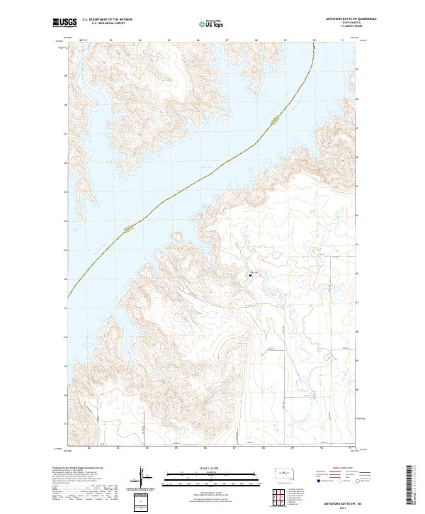
2012 Artichoke Butte SW
Sully County, SD
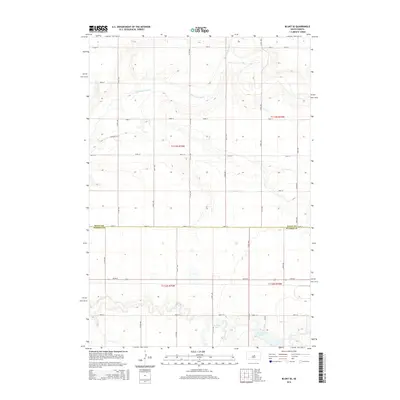
2012 Blunt NE
Sully County, SD
2012 Blunt NW
Sully County, SD
2012 Blunt SE
Sully County, SD
2012 Gettysburg Municipal Airport SE
Sully County, SD
2012 Gettysburg Municipal Airport SW
Sully County, SD
2012 Harrold NW
Sully County, SD
2012 Iron Post Buttes SE
Sully County, SD
2012 Mail Shack Creek
Sully County, SD
2012 Okobojo NE
Sully County, SD

2012 Okobojo SE
Sully County, SD
2012 Okobojo
Sully County, SD
2012 Okobojo SW
Sully County, SD
2012 Onida SE
Sully County, SD
2012 Onida SW
Sully County, SD
2012 Sully Lake
Sully County, SD
2012 Thomas Lake SW
Sully County, SD
2015 Agar SW
Sully County, SD
2015 Artichoke Butte
Sully County, SD
2015 Artichoke Butte SW
Sully County, SD
2015 Blunt NE
Sully County, SD
2015 Blunt NW
Sully County, SD
2015 Blunt SE
Sully County, SD
2015 Gettysburg Municipal Airport SE
Sully County, SD
2015 Gettysburg Municipal Airport SW
Sully County, SD
2015 Harrold NW
Sully County, SD
2015 Iron Post Buttes SE
Sully County, SD
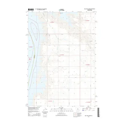
2015 Mail Shack Creek
Sully County, SD
2015 Okobojo NE
Sully County, SD
2015 Okobojo SE
Sully County, SD
2015 Okobojo
Sully County, SD
2015 Okobojo SW
Sully County, SD
2015 Onida SE
Sully County, SD
2015 Onida SW
Sully County, SD
2015 Sully Lake
Sully County, SD
2015 Thomas Lake SW
Sully County, SD
2017 Agar SW
Sully County, SD
2017 Artichoke Butte
Sully County, SD
2017 Artichoke Butte SW
Sully County, SD
2017 Blunt NE
Sully County, SD
2017 Blunt NW
Sully County, SD
2017 Blunt SE
Sully County, SD
2017 Gettysburg Municipal Airport SE
Sully County, SD
2017 Gettysburg Municipal Airport SW
Sully County, SD
2017 Harrold NW
Sully County, SD
2017 Iron Post Buttes SE
Sully County, SD
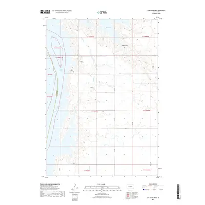
2017 Mail Shack Creek
Sully County, SD
2017 Okobojo NE
Sully County, SD

2017 Okobojo SE
Sully County, SD
2017 Okobojo
Sully County, SD
2017 Okobojo SW
Sully County, SD
2017 Onida SE
Sully County, SD
2017 Onida SW
Sully County, SD
2017 Sully Lake
Sully County, SD
2017 Thomas Lake SW
Sully County, SD
2021 Agar SW
Sully County, SD
2021 Artichoke Butte
Sully County, SD
2021 Artichoke Butte SW
Sully County, SD
2021 Blunt NE
Sully County, SD
2021 Blunt NW
Sully County, SD
2021 Blunt SE
Sully County, SD
2021 Gettysburg Municipal Airport SE
Sully County, SD
2021 Gettysburg Municipal Airport SW
Sully County, SD
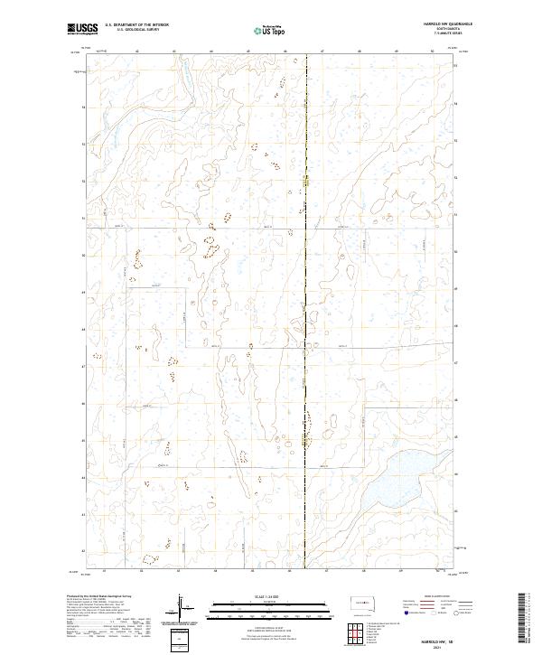
2021 Harrold NW
Sully County, SD
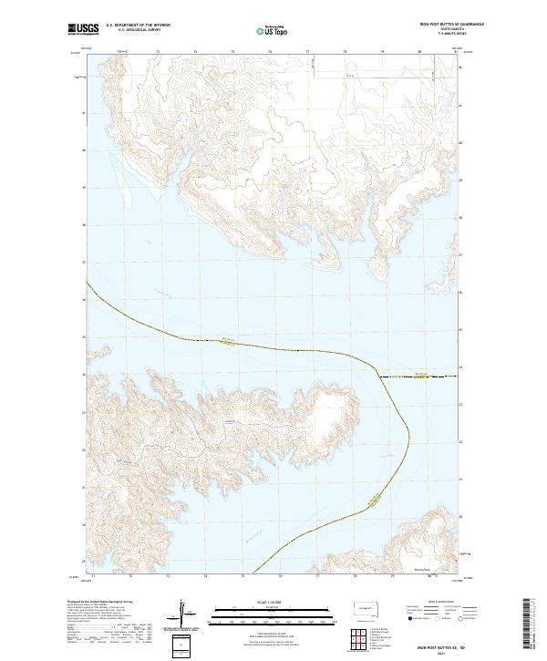
2021 Iron Post Buttes SE
Sully County, SD
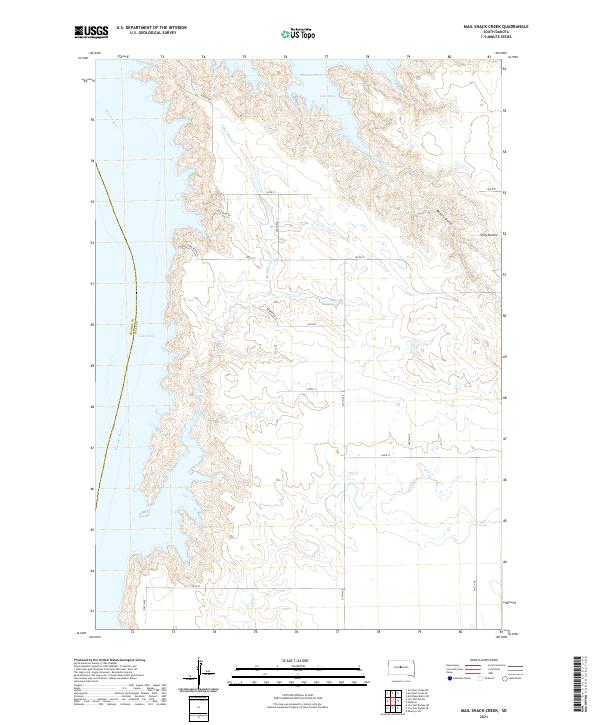
2021 Mail Shack Creek
Sully County, SD
2021 Okobojo NE
Sully County, SD
2021 Okobojo SE
Sully County, SD
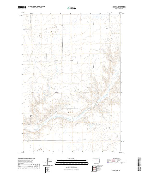
2021 Okobojo
Sully County, SD
2021 Okobojo SW
Sully County, SD
2021 Onida SE
Sully County, SD
2021 Onida SW
Sully County, SD
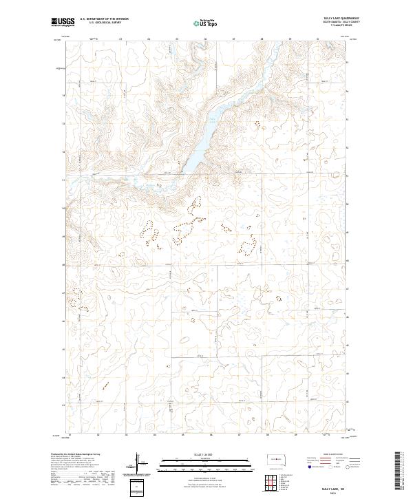
2021 Sully Lake
Sully County, SD
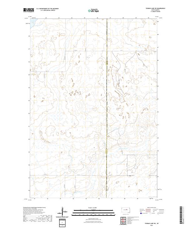
2021 Thomas Lake SW
Sully County, SD