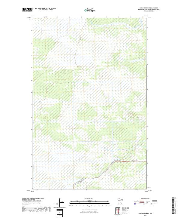
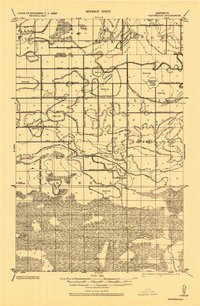
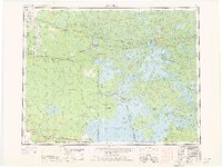
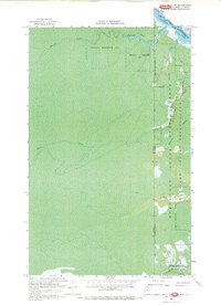
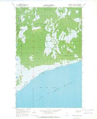
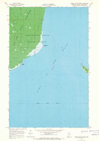
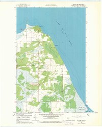
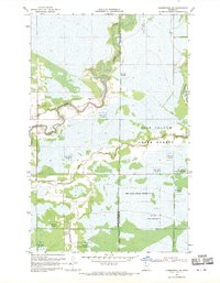
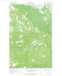
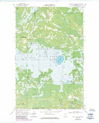
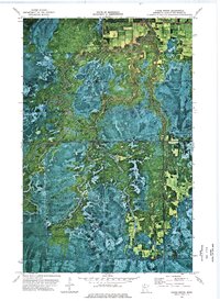
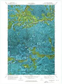
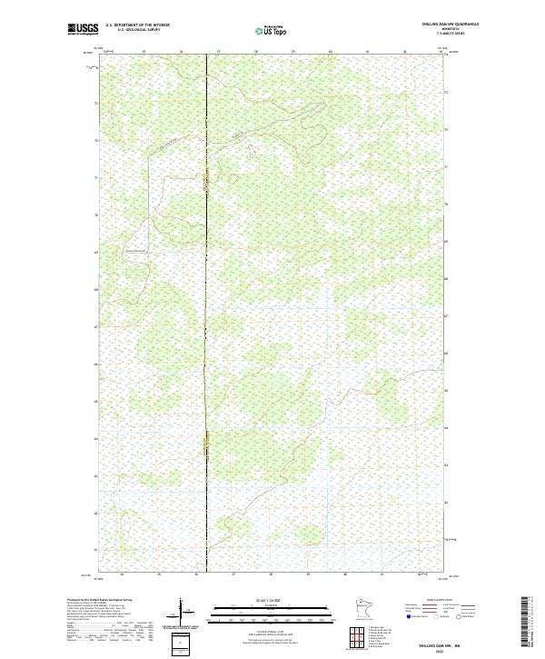
2022 Map of Shilling Dam NE
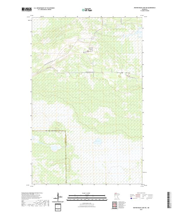
USGS Topo · Published 2022This historical map portrays the area of Shilling Dam NE in 2022, primarily covering Lake of the Woods County. Featuring a scale of 1:24000, this map provides a highly detailed snapshot of the terrain, roads, buildings, counties, and historical landmarks in the Shilling Dam NE region at the time. Published in 2022, it is the sole known edition of this map.
Find a feature on this map
7 named features on this map. Tap any name to fly to it.
Don’t see what you’re looking for? This feature index may not catch every label — zoom into the map to look around manually.
Map Details
Editions of this 2022 Shilling Dam NE Map
This is the sole edition of this map. No revisions or reprints were ever made.
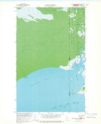
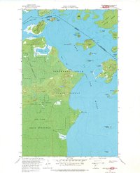
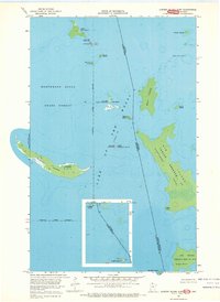
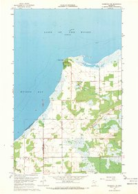
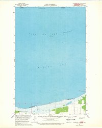
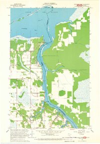
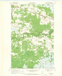
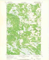
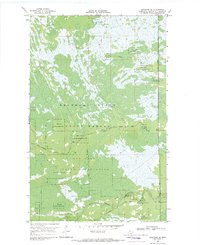
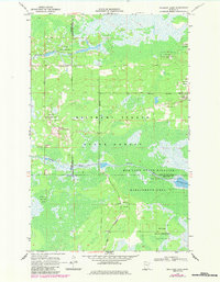
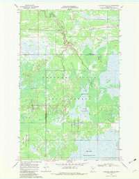
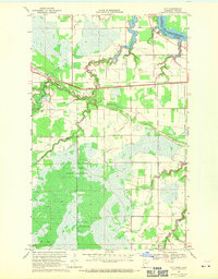
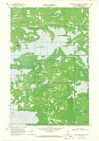
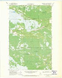
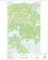
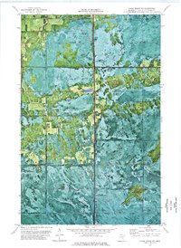
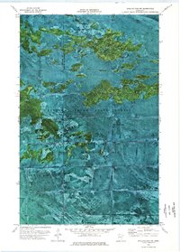
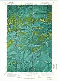
Historical Maps of Lake of the Woods County Through Time
83 maps found
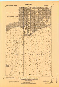
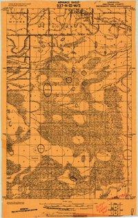
1918 Buffalo Bay
Lake of the Woods County, MN
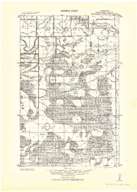
1918 Hemmington
Lake of the Woods County, MN
1918 Oak Island
Lake of the Woods County, MN
1918 Winterroad
Lake of the Woods County, MN
1919 Canada
Lake of the Woods County, MN
1919 G
Lake of the Woods County, MN
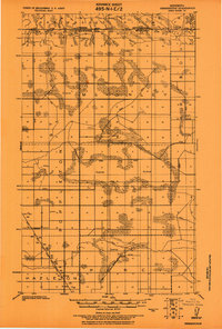
1919 Knutson
Lake of the Woods County, MN
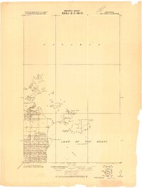
1919 Peppermint Creek
Lake of the Woods County, MN
1943 Peppermint Creek
Lake of the Woods County, MN
1963 Kenora
Lake of the Woods County, MN
1967 Angle Inlet SW
Lake of the Woods County, MN
1967 Buffalo Bay NE
Lake of the Woods County, MN
1967 Buffalo Bay NW
Lake of the Woods County, MN
1967 Flag Island
Lake of the Woods County, MN
1967 Garden Island East
Lake of the Woods County, MN
1967 Garden Island West
Lake of the Woods County, MN

1967 Oak Island
Lake of the Woods County, MN
1967 Roosevelt NE
Lake of the Woods County, MN
1967 Roosevelt NW
Lake of the Woods County, MN
1967 Wheelers Point
Lake of the Woods County, MN
1967 Williams NW
Lake of the Woods County, MN
1967 Williams SE
Lake of the Woods County, MN
1968 Baudette SE
Lake of the Woods County, MN
1968 Baudette SW
Lake of the Woods County, MN

1968 Clementson
Lake of the Woods County, MN
1968 Clementson SW
Lake of the Woods County, MN
1968 Graceton
Lake of the Woods County, MN
1968 Graceton NW
Lake of the Woods County, MN
1968 Graceton SE
Lake of the Woods County, MN
1968 Graceton SW
Lake of the Woods County, MN
1968 Mulligan Lake
Lake of the Woods County, MN
1968 Mulligan Lake NE
Lake of the Woods County, MN
1968 Pitt
Lake of the Woods County, MN
1968 Winter Road Lake
Lake of the Woods County, MN
1968 Winter Road Lake NW
Lake of the Woods County, MN
1969 Winter Road Lake SE
Lake of the Woods County, MN
1969 Winter Road Lake SW
Lake of the Woods County, MN
1973 Chase Brook
Lake of the Woods County, MN
1973 Chase Brook NE
Lake of the Woods County, MN
1973 Shilling Dam NW
Lake of the Woods County, MN
1973 The Pines
Lake of the Woods County, MN
1974 Oaks Corner
Lake of the Woods County, MN
1974 Oaks Corner NE
Lake of the Woods County, MN
1974 Shilling Dam NE
Lake of the Woods County, MN
1985 Oak Island
Lake of the Woods County, MN
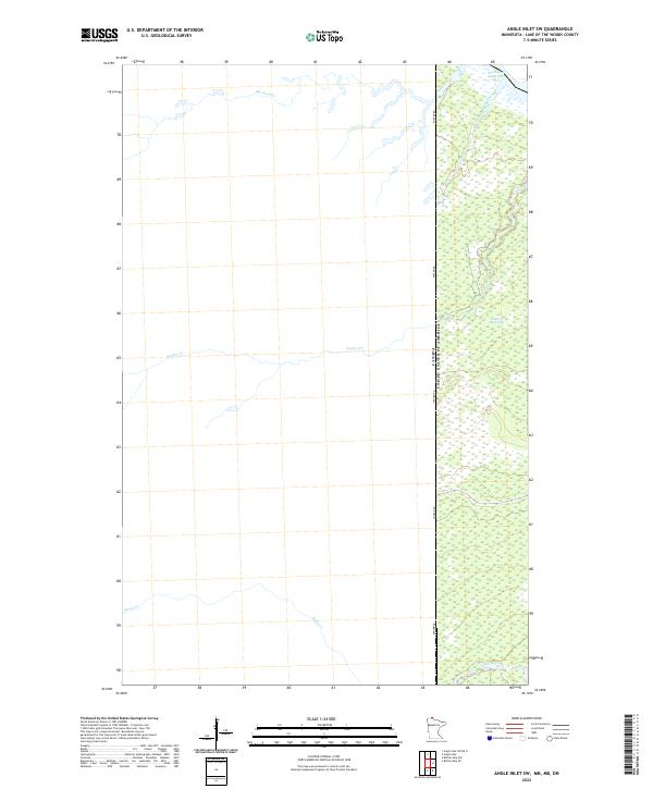
2022 Angle Inlet SW
Lake of the Woods County, MN
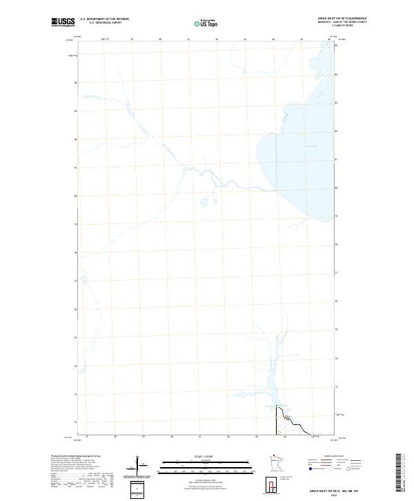
2022 Angle Inlet SW OE N
Lake of the Woods County, MN
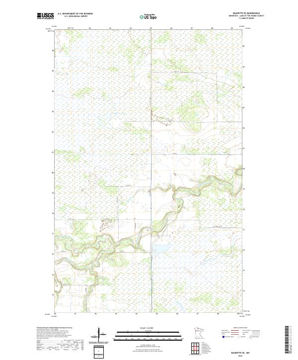
2022 Baudette SE
Lake of the Woods County, MN
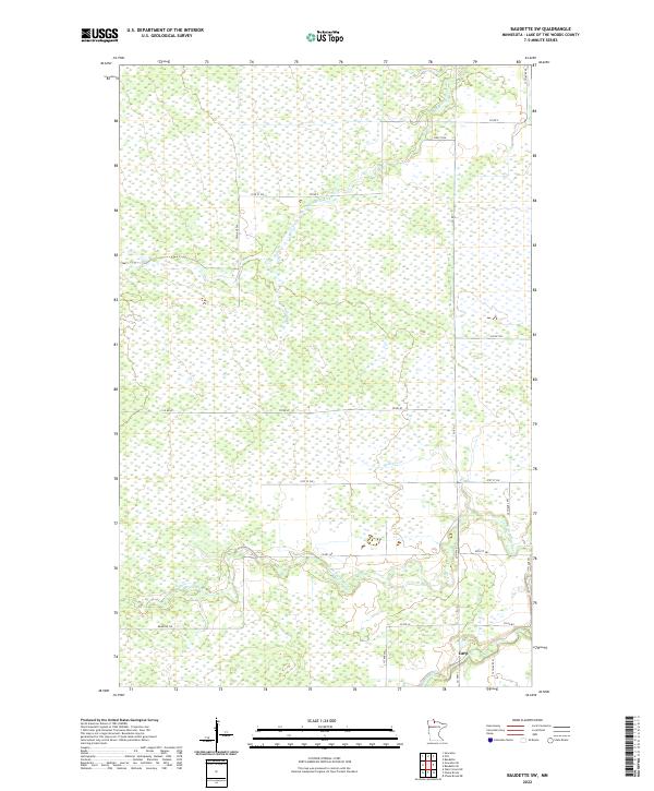
2022 Baudette SW
Lake of the Woods County, MN
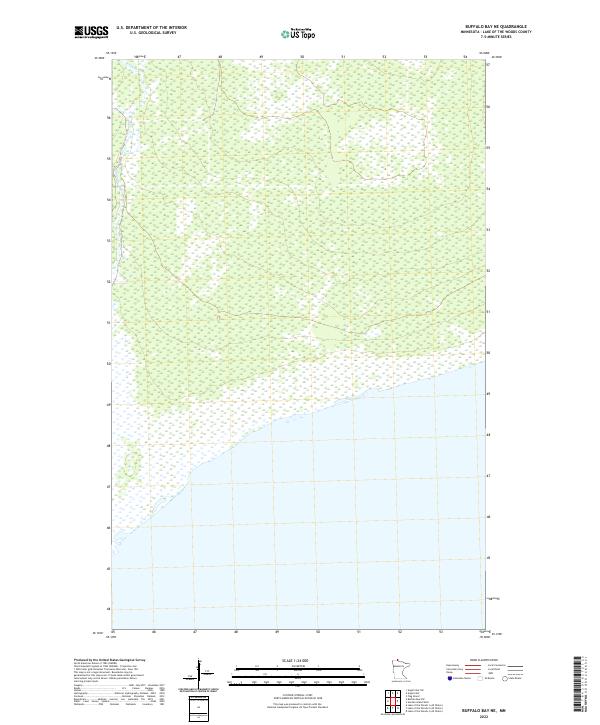
2022 Buffalo Bay NE
Lake of the Woods County, MN
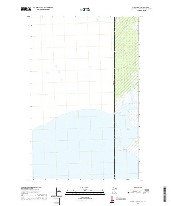
2022 Buffalo Bay NW
Lake of the Woods County, MN
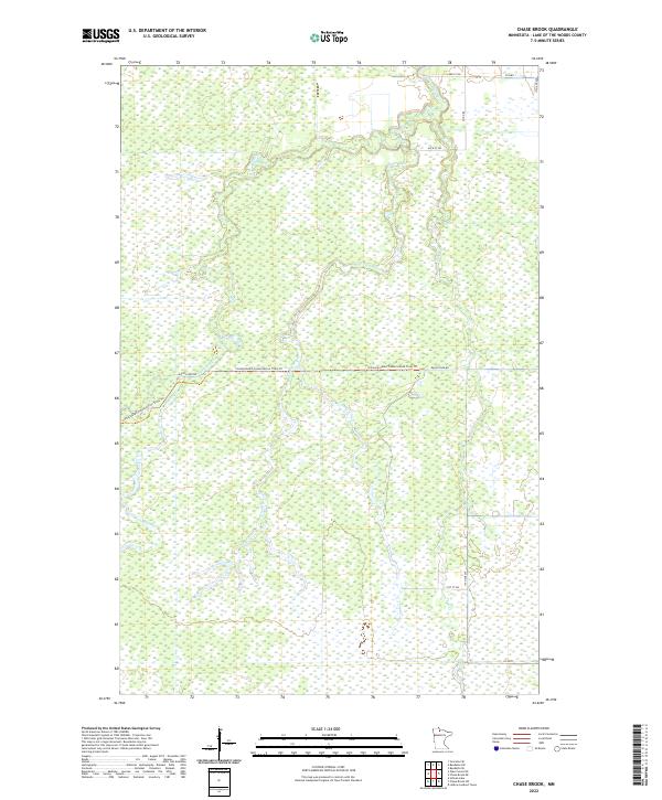
2022 Chase Brook
Lake of the Woods County, MN
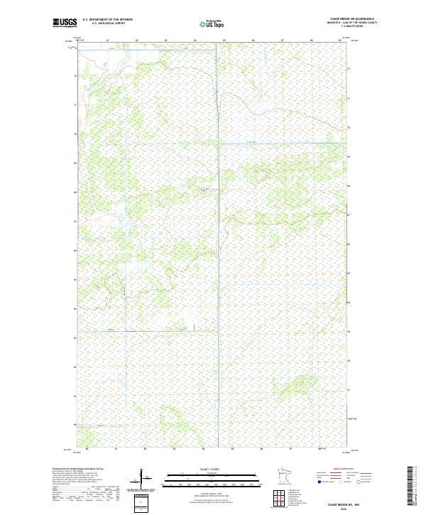
2022 Chase Brook NE
Lake of the Woods County, MN
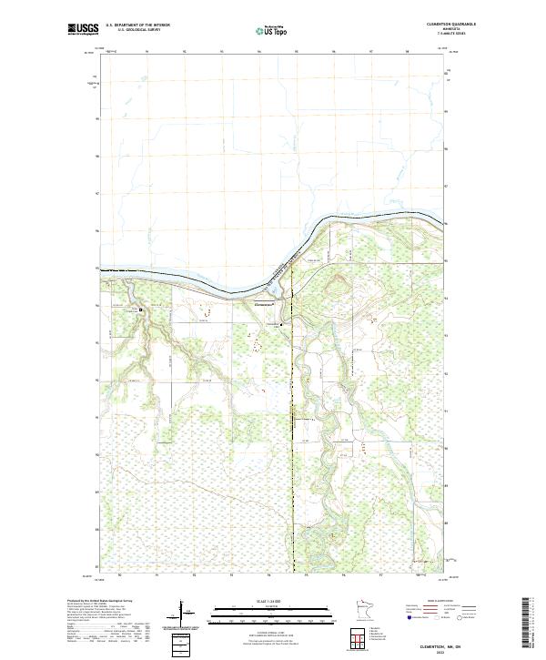
2022 Clementson
Lake of the Woods County, MN
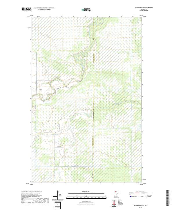
2022 Clementson SW
Lake of the Woods County, MN
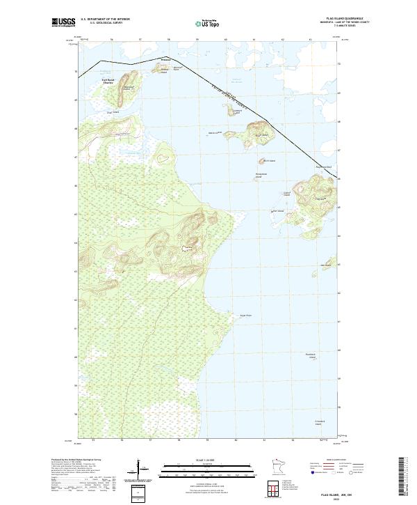
2022 Flag Island
Lake of the Woods County, MN
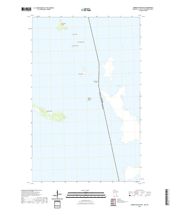
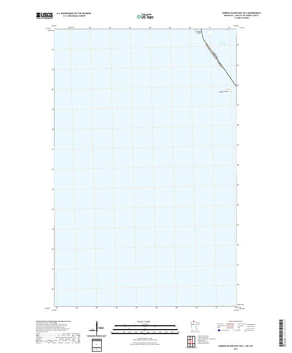
2022 Garden Island East
Lake of the Woods County, MN
2022 Garden Island East OE S
Lake of the Woods County, MN
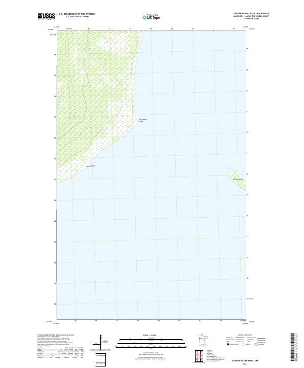
2022 Garden Island West
Lake of the Woods County, MN
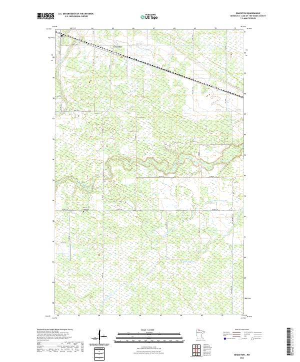
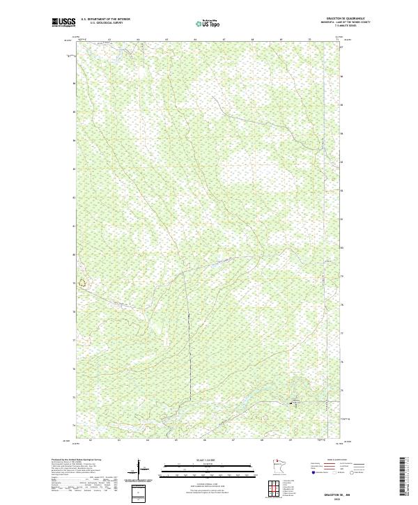
2022 Graceton
Lake of the Woods County, MN
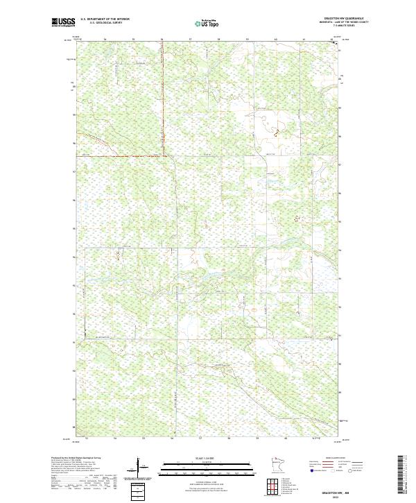
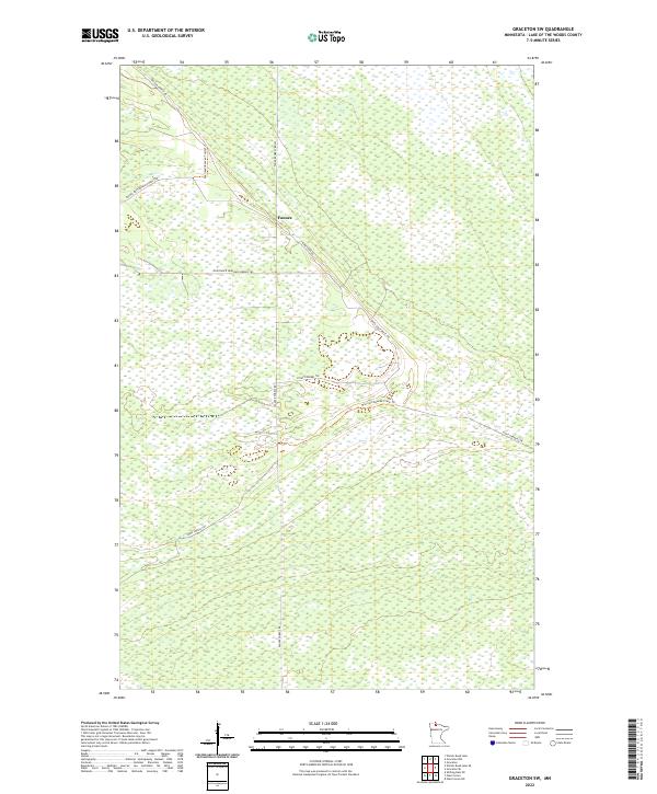
2022 Graceton NW
Lake of the Woods County, MN
2022 Graceton SE
Lake of the Woods County, MN
2022 Graceton SW
Lake of the Woods County, MN
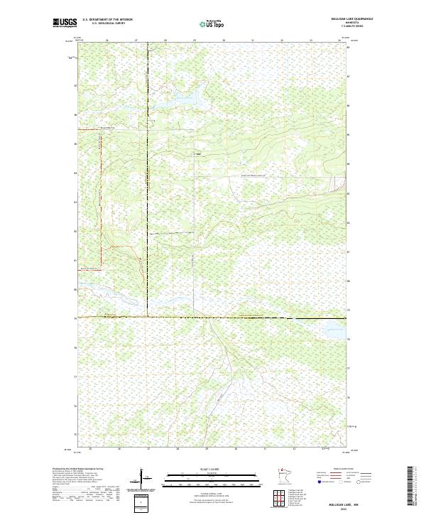
2022 Mulligan Lake
Lake of the Woods County, MN
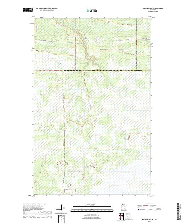
2022 Mulligan Lake NE
Lake of the Woods County, MN
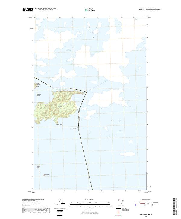
2022 Oak Island
Lake of the Woods County, MN
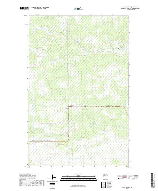
2022 Oaks Corner
Lake of the Woods County, MN
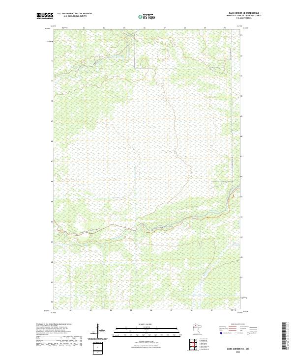
2022 Oaks Corner NE
Lake of the Woods County, MN
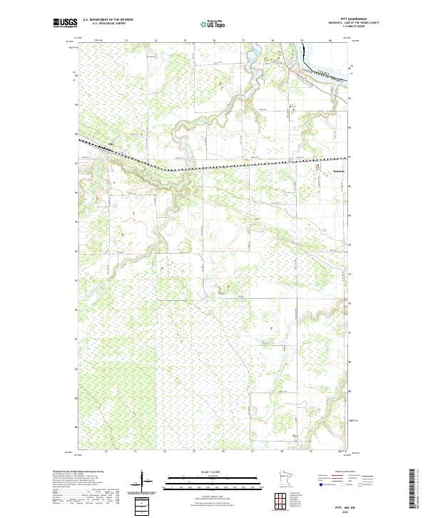
2022 Pitt
Lake of the Woods County, MN
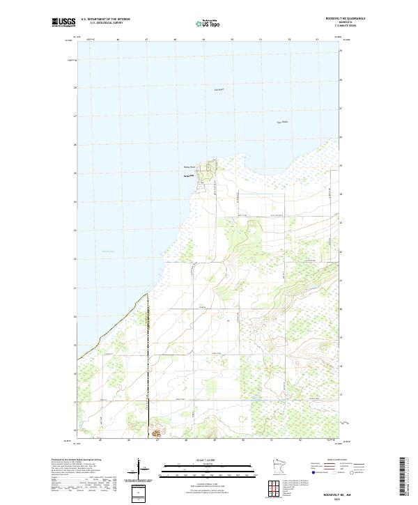
2022 Roosevelt NE
Lake of the Woods County, MN
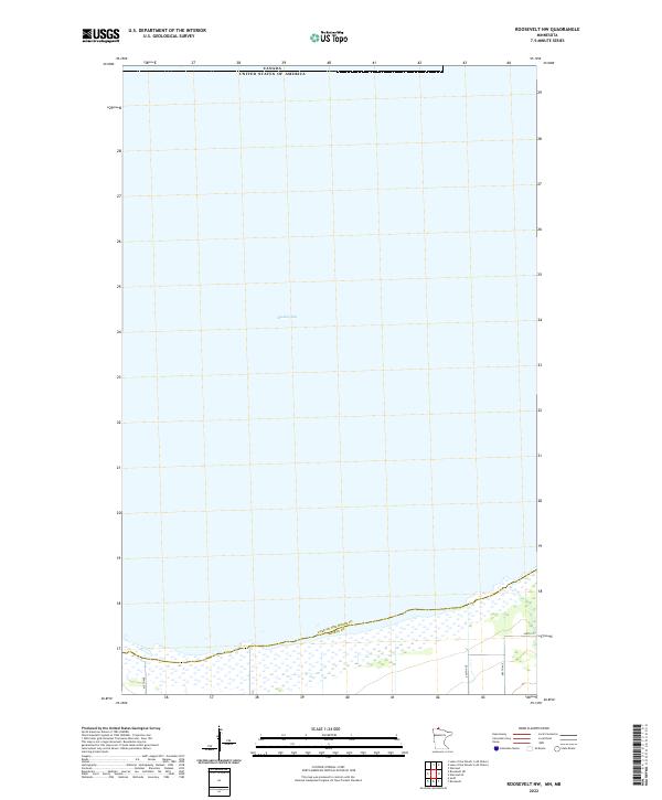
2022 Roosevelt NW
Lake of the Woods County, MN
2022 Shilling Dam NE
Lake of the Woods County, MN
2022 Shilling Dam NW
Lake of the Woods County, MN
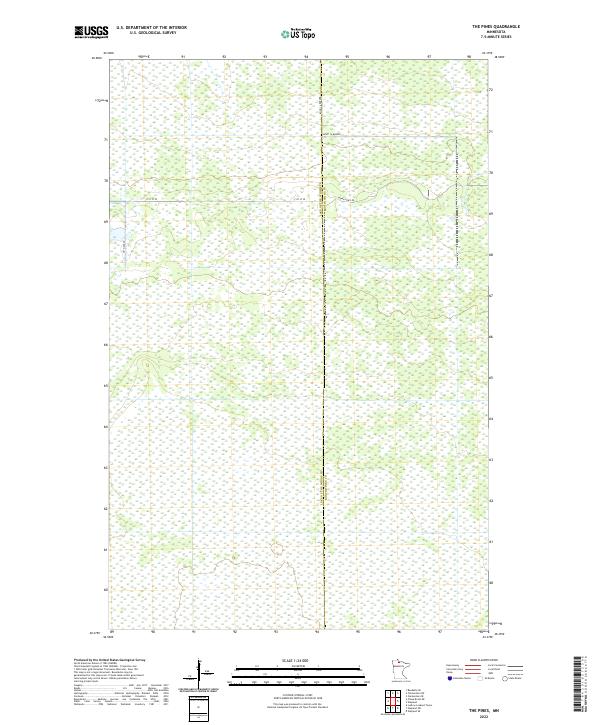
2022 The Pines
Lake of the Woods County, MN
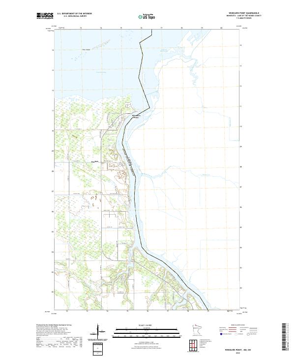
2022 Wheelers Point
Lake of the Woods County, MN
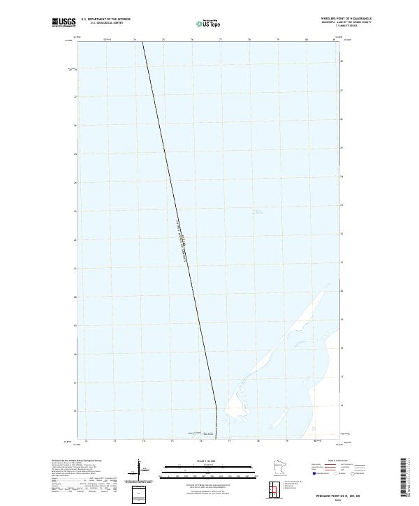
2022 Wheelers Point OE N
Lake of the Woods County, MN
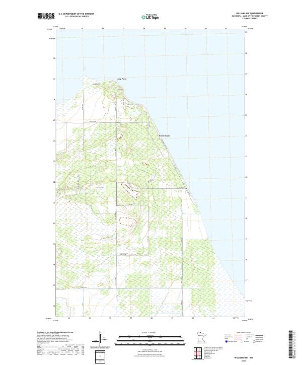
2022 Williams NW
Lake of the Woods County, MN
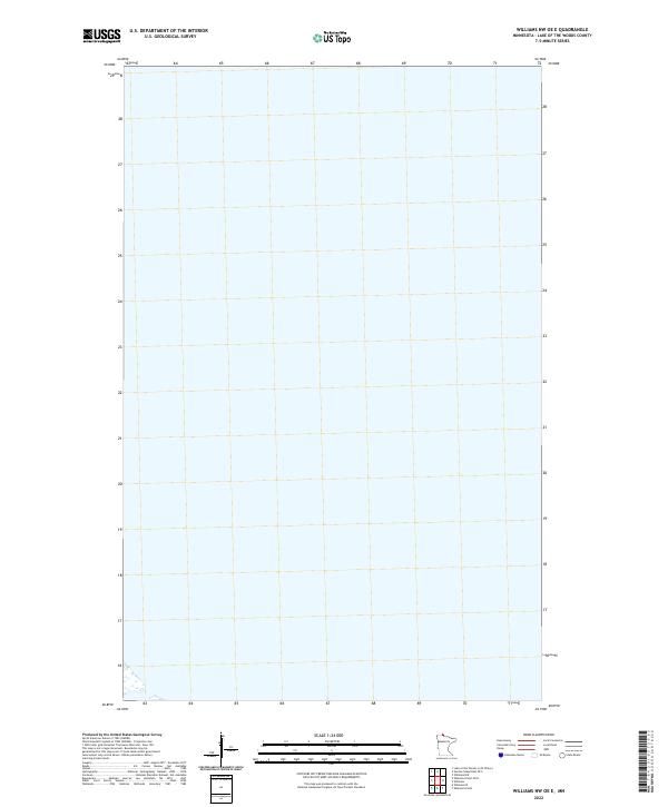
2022 Williams NW OE E
Lake of the Woods County, MN
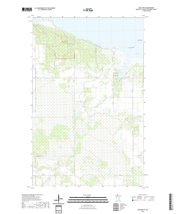
2022 Williams SE
Lake of the Woods County, MN
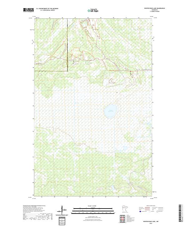
2022 Winter Road Lake
Lake of the Woods County, MN
2022 Winter Road Lake NW
Lake of the Woods County, MN
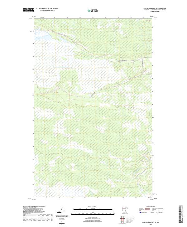
2022 Winter Road Lake SE
Lake of the Woods County, MN
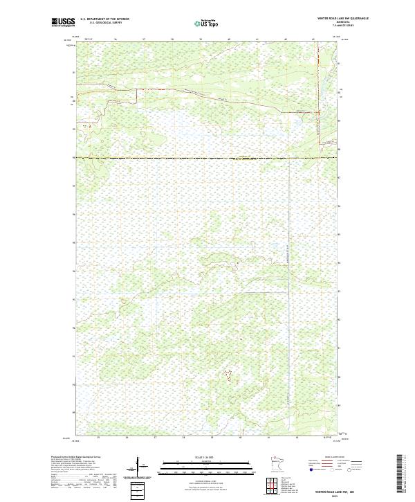
2022 Winter Road Lake SW
Lake of the Woods County, MN