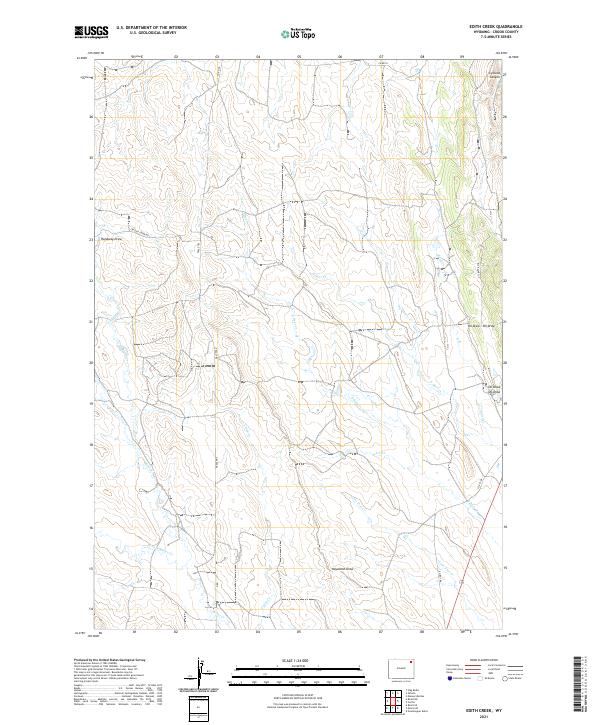
2021 Map of Edith Creek
USGS Topo · Published 2021About this map
The northern reaches of the Powder River Basin in Crook County define this landscape of ephemeral drainages and ranching corridors. The prominent Texas Trl cuts north-south through the center of the terrain, crossing the headwaters of Crazy Cr and Miller Cr. This route historically linked the southern cattle ranges to northern markets, and here it navigates the high ground between Hanaway Draw and the deep incisions of the S Deer Cr system. To the northeast, the terrain drops significantly into Cyclone Canyon, while the namesake Edith Creek and Lone Tree Cr drain the eastern slopes. The density of named draws and creek forks like W Fork Miller Cr illustrates the intricate watershed patterns vital for livestock and local land management in this high plains environment.
Find a feature on this map
23 named features on this map. Tap any name to fly to it.
Don’t see what you’re looking for? This feature index may not catch every label — zoom into the map to look around manually.
Map Details
Editions of this 2021 Edith Creek Map
This is the sole edition of this map. No revisions or reprints were ever made.
Other maps of this area

1905 · Devils Tower
USGS Topo · 1:125,000

1918 · Moorcroft
USGS Topo · 1:125,000

1918 · Moorcroft
USGS Topo · 1:62,500

1954 · Carlile
USGS Topo · 1:24,000

1954 · Missouri Buttes
USGS Topo · 1:24,000

1954 · Gillette
USGS Topo · 1:250,000

1955 · Gillette
USGS Topo · 1:250,000

1957 · Moorcroft
USGS Topo · 1:62,500

1957 · Oshoto
USGS Topo · 1:62,500

1958 · Gillette
USGS Topo · 1:250,000