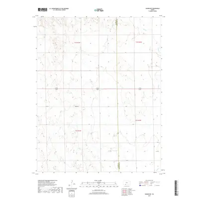
2022 Map of Sugarloaf
USGS Topo · Published 2022About this map
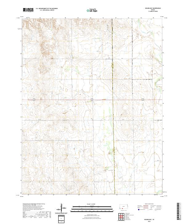
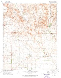
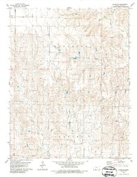
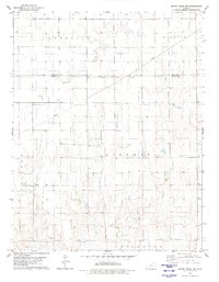
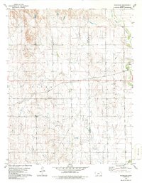
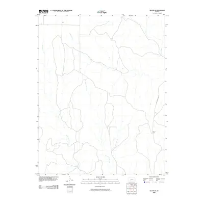
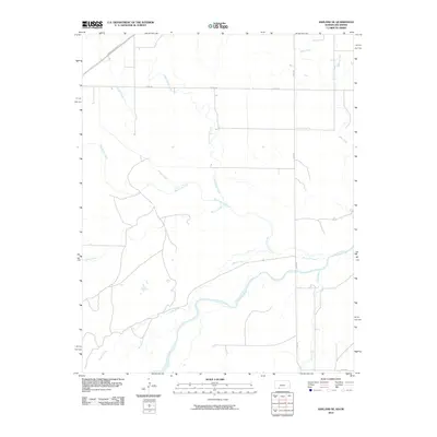
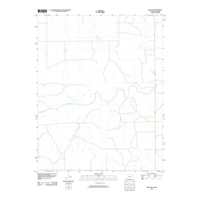
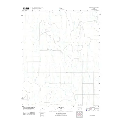
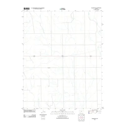
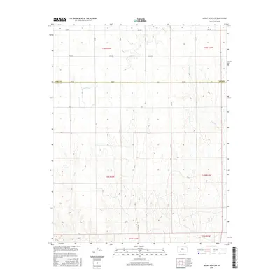
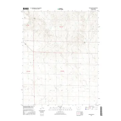
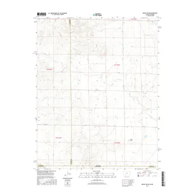
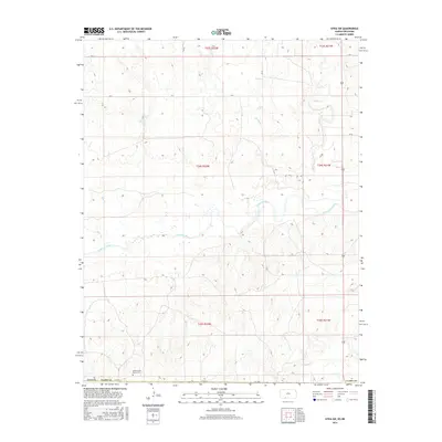
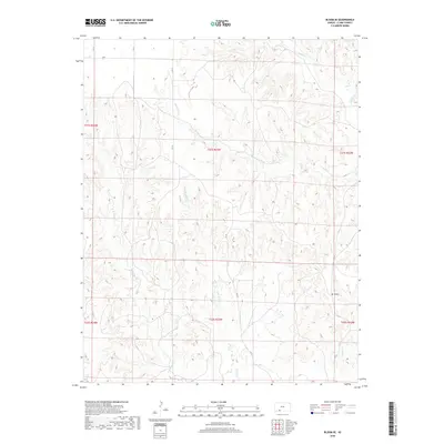
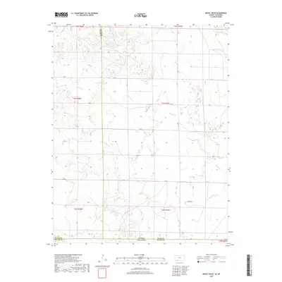
Sugarloaf stands as a prominent topographical marker in this high plains landscape along the border of Clark and Comanche Counties. This modern survey reveals a geometric grid of rural infrastructure, where routes like Sitka Rd and Cr V cross a terrain defined by the winding course of Bluff Cr. The map illustrates the persistent structure of the Public Land Survey System, showing the township and range divisions of t32s r21w and t32s r20w that have governed Kansas land ownership for over a century. The intersection of Highway 160 183 serves as a primary artery through this sparsely settled ranching and agricultural country. By comparing these contemporary road networks and drainage patterns to early twentieth-century records, researchers can observe how the rural landscape has maintained its fundamental character while adapting to modern transportation needs.
Find a feature on this map
20 named features on this map. Tap any name to fly to it.
Don’t see what you’re looking for? This feature index may not catch every label — zoom into the map to look around manually.
Map Details
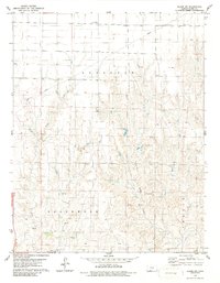
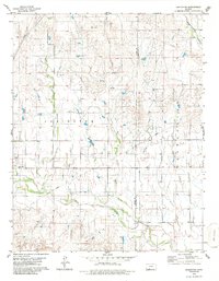
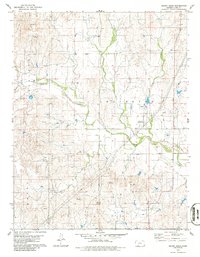
Editions of this 2022 Sugarloaf Map
This is the sole edition of this map. No revisions or reprints were ever made.
Historical Maps of Comanche County Through Time
97 maps found
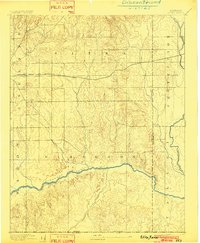
1894 Sitka
Clark County, KS
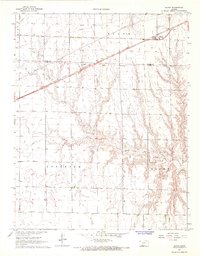
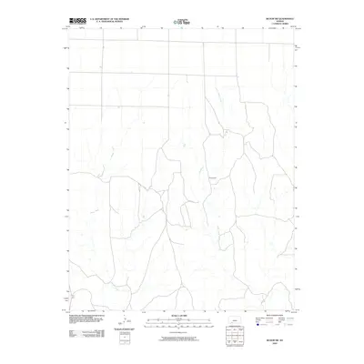
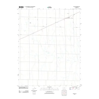
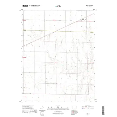
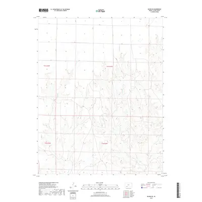
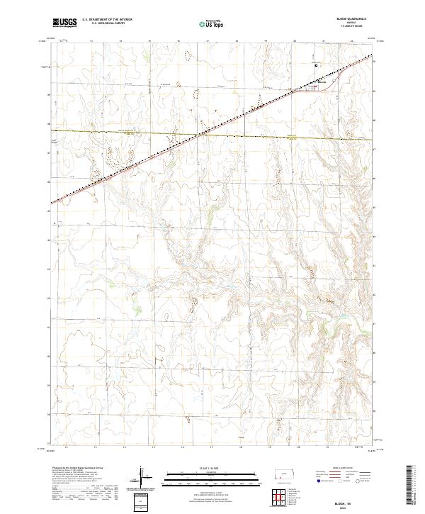
1967 Bloom
Clark County, KS
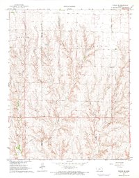
1967 Fowler SE
Clark County, KS
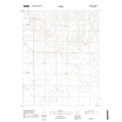
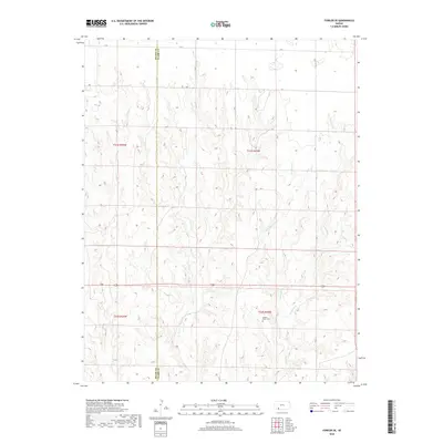
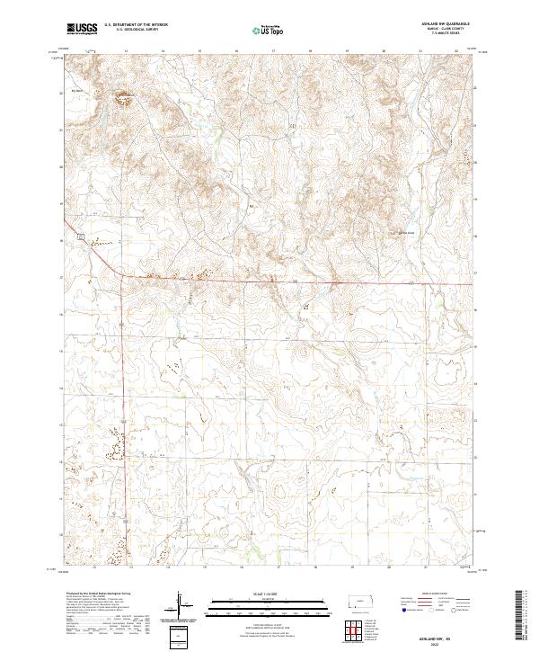
1972 Ashland NW
Clark County, KS
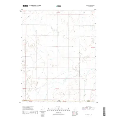
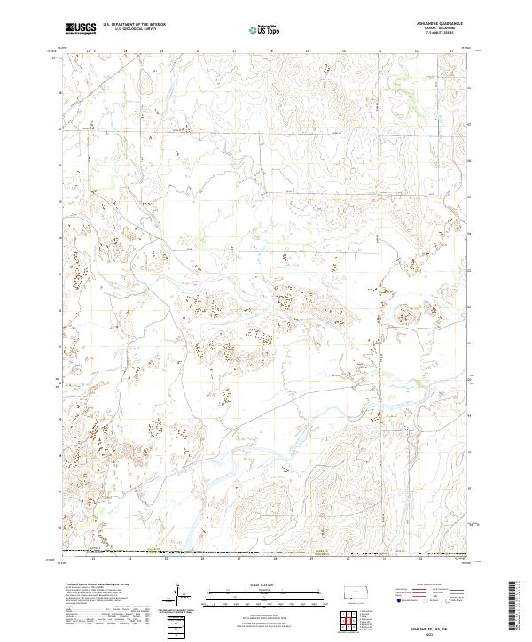
1972 Ashland SE
Clark County, KS
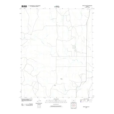
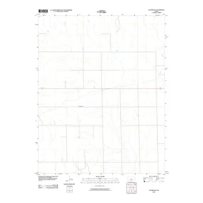
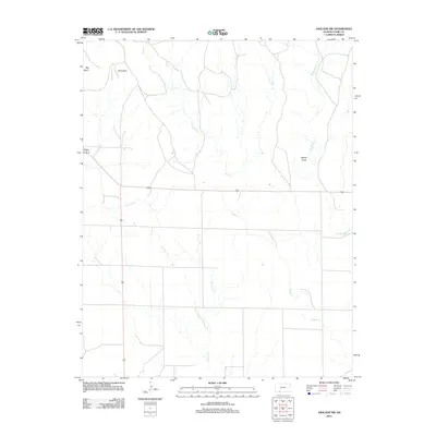
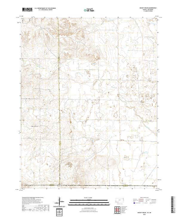
1972 Mount Helen
Clark County, KS
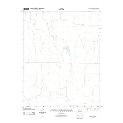
1972 Proffitt Lake
Clark County, KS
1979 Bloom SE
Clark County, KS
1979 Bloom SW
Clark County, KS
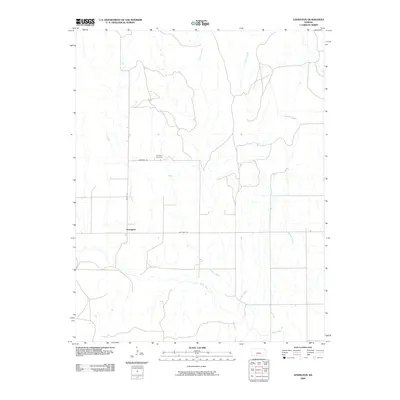
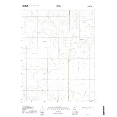
1979 Lexington
Clark County, KS
1979 Mount Jesus
Clark County, KS
1979 Mount Jesus NW
Clark County, KS
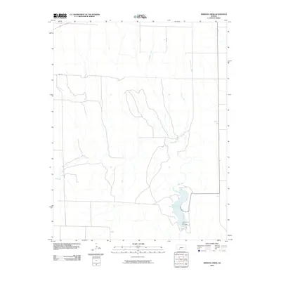
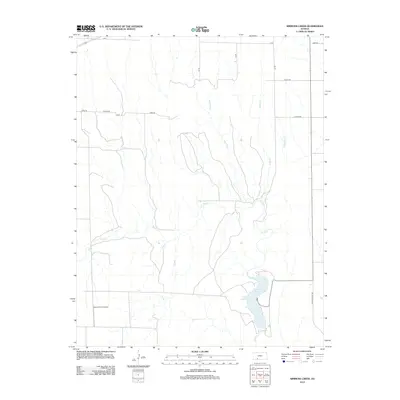
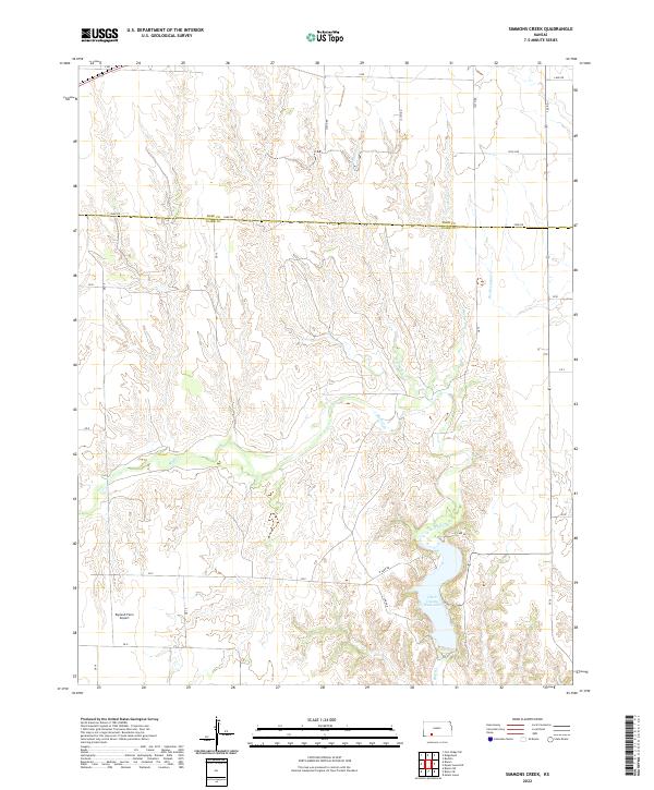
1979 Simmons Creek
Clark County, KS
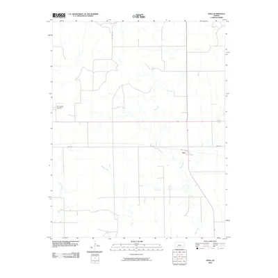
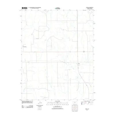
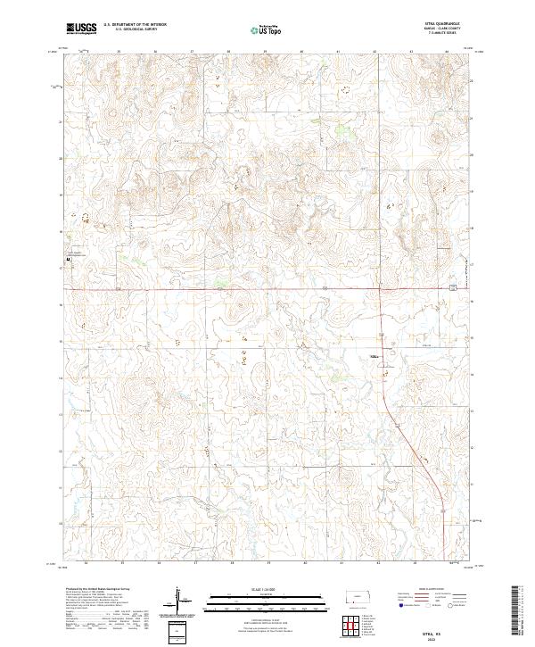
1979 Sitka
Clark County, KS
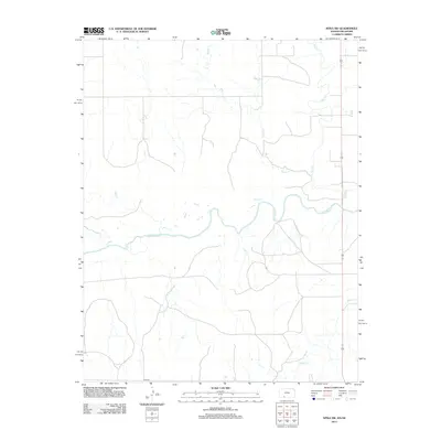
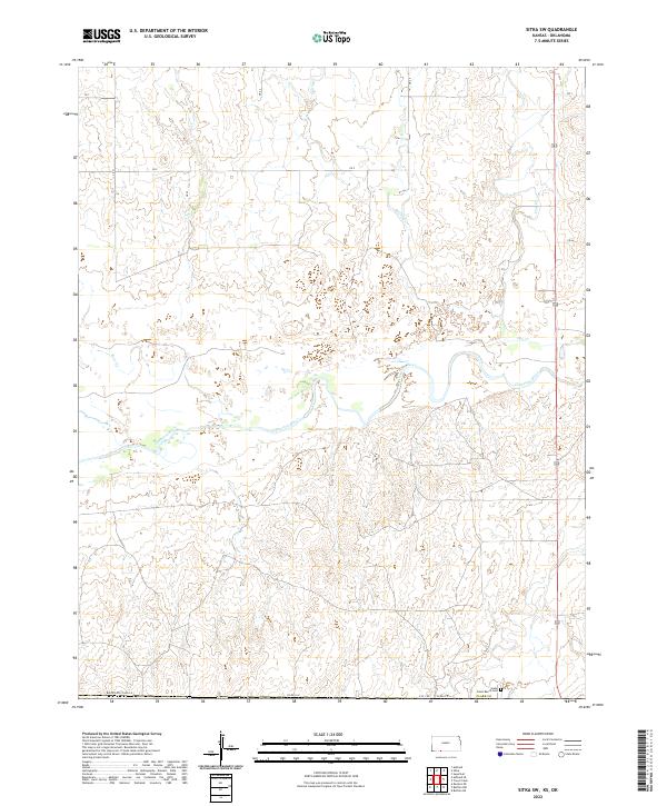
1979 Sitka SW
Clark County, KS
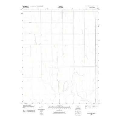
1979 Sugarloaf
Clark County, KS
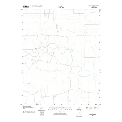
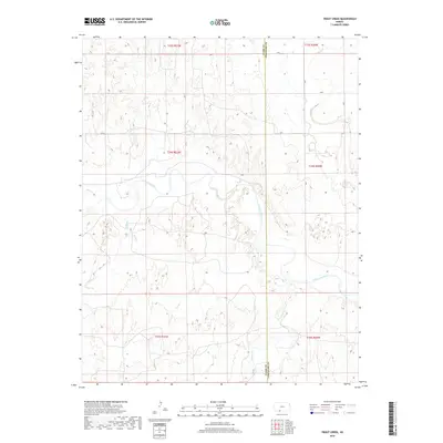
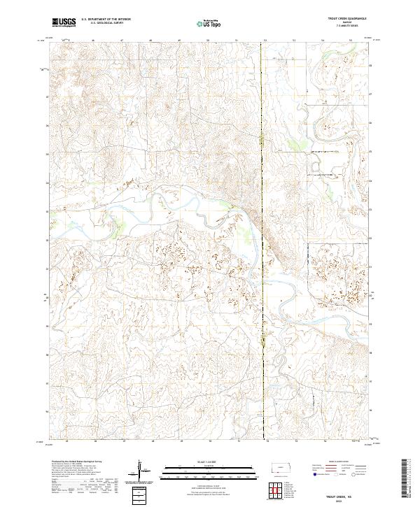
1979 Trout Creek
Clark County, KS
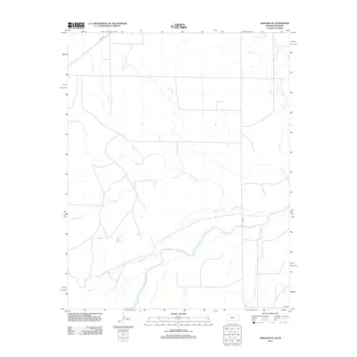
2009 Ashland NW
Clark County, KS
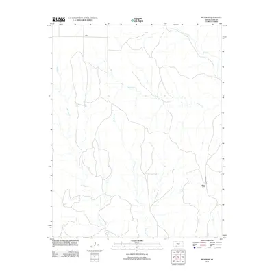
2009 Bloom
Clark County, KS
2009 Bloom SE
Clark County, KS
2009 Bloom SW
Clark County, KS
2009 Lexington
Clark County, KS
2009 Mount Jesus
Clark County, KS
2009 Mount Jesus NW
Clark County, KS
2009 Simmons Creek
Clark County, KS
2009 Sitka
Clark County, KS
2009 Sugarloaf
Clark County, KS
2010 Ashland SE
Clark County, KS
2010 Fowler SE
Clark County, KS
2010 Mount Helen
Clark County, KS
2010 Proffitt Lake
Clark County, KS
2010 Sitka SW
Clark County, KS
2010 Trout Creek
Clark County, KS
2012 Ashland NW
Clark County, KS
2012 Ashland SE
Clark County, KS
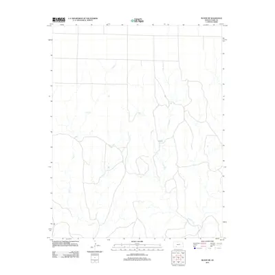
2012 Bloom
Clark County, KS
2012 Bloom SE
Clark County, KS
2012 Bloom SW
Clark County, KS
2012 Fowler SE
Clark County, KS
2012 Lexington
Clark County, KS
2012 Mount Helen
Clark County, KS
2012 Mount Jesus
Clark County, KS
2012 Mount Jesus NW
Clark County, KS
2012 Proffitt Lake
Clark County, KS
2012 Simmons Creek
Clark County, KS
2012 Sitka
Clark County, KS
2012 Sitka SW
Clark County, KS
2012 Sugarloaf
Clark County, KS
2012 Trout Creek
Clark County, KS
2015 Bloom
Clark County, KS
2015 Bloom SE
Clark County, KS
2015 Mount Jesus NW
Clark County, KS
2015 Sitka
Clark County, KS
2015 Sugarloaf
Clark County, KS
2015 Trout Creek
Clark County, KS
2016 Ashland NW
Clark County, KS
2016 Ashland SE
Clark County, KS
2016 Bloom SW
Clark County, KS

2016 Fowler SE
Clark County, KS
2016 Lexington
Clark County, KS
2016 Mount Helen
Clark County, KS
2016 Mount Jesus
Clark County, KS
2016 Proffitt Lake
Clark County, KS
2016 Simmons Creek
Clark County, KS
2016 Sitka SW
Clark County, KS
2018 Ashland NW
Clark County, KS
2018 Ashland SE
Clark County, KS
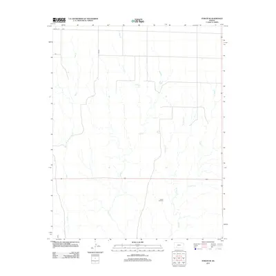
2018 Bloom
Clark County, KS
2018 Bloom SE
Clark County, KS
2018 Bloom SW
Clark County, KS
2018 Fowler SE
Clark County, KS
2018 Lexington
Clark County, KS
2018 Mount Helen
Clark County, KS
2018 Mount Jesus
Clark County, KS
2018 Mount Jesus NW
Clark County, KS
2018 Proffitt Lake
Clark County, KS
2018 Simmons Creek
Clark County, KS
2018 Sitka
Clark County, KS
2018 Sitka SW
Clark County, KS
2018 Sugarloaf
Clark County, KS
2018 Trout Creek
Clark County, KS
2022 Ashland NW
Clark County, KS
2022 Ashland SE
Clark County, KS
2022 Bloom
Clark County, KS
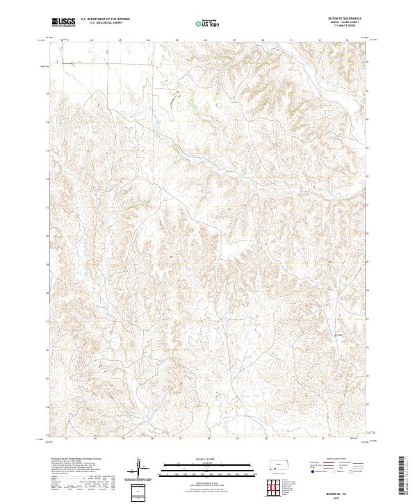
2022 Bloom SE
Clark County, KS
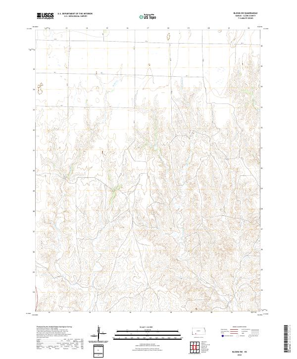
2022 Bloom SW
Clark County, KS
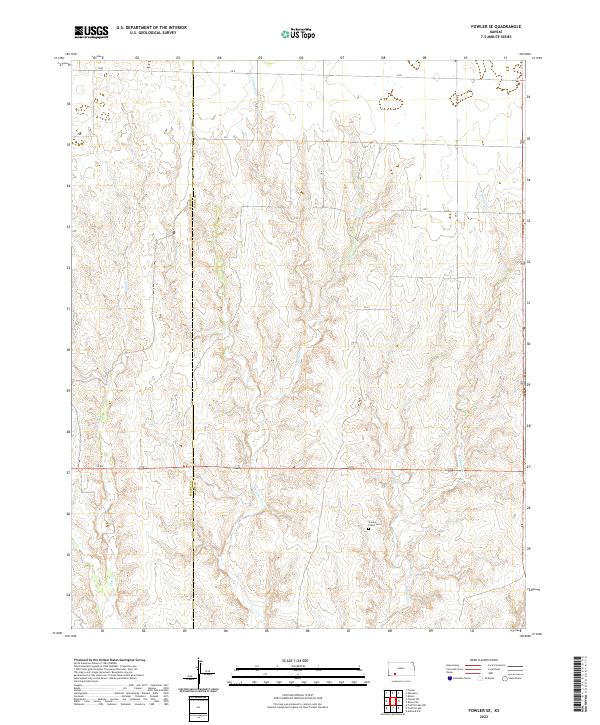
2022 Fowler SE
Clark County, KS
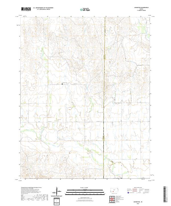
2022 Lexington
Clark County, KS
2022 Mount Helen
Clark County, KS
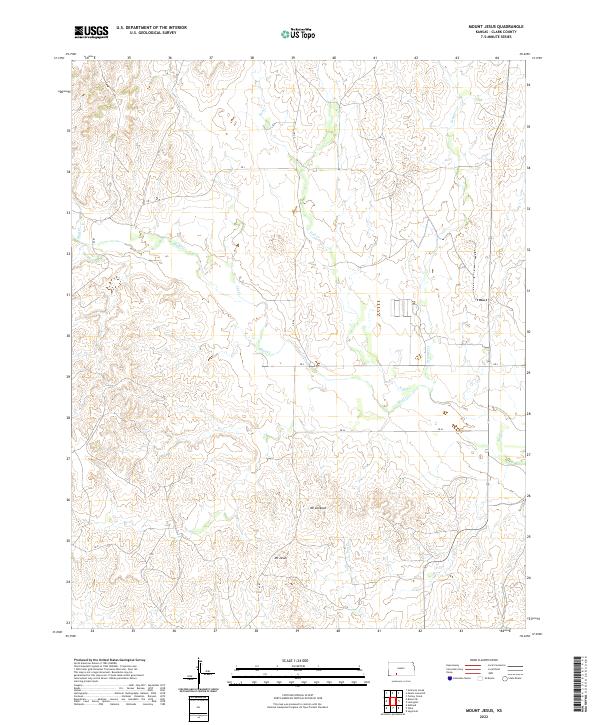
2022 Mount Jesus
Clark County, KS
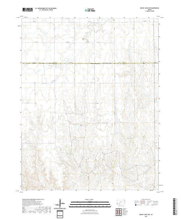
2022 Mount Jesus NW
Clark County, KS
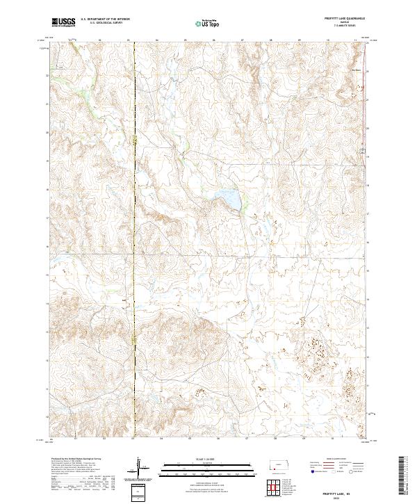
2022 Proffitt Lake
Clark County, KS
2022 Simmons Creek
Clark County, KS
2022 Sitka
Clark County, KS
2022 Sitka SW
Clark County, KS
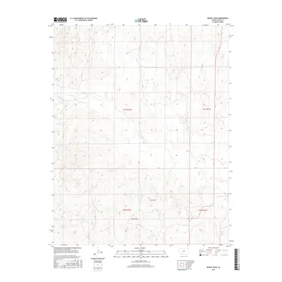
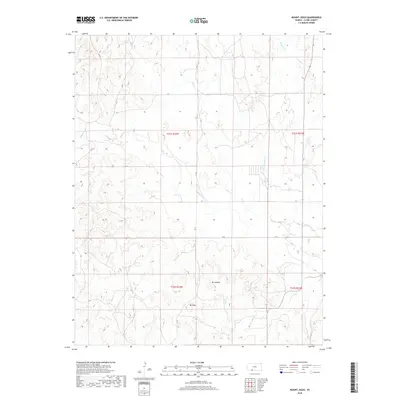
2022 Sugarloaf
Clark County, KS
2022 Trout Creek
Clark County, KS