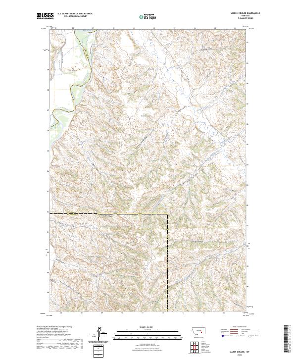
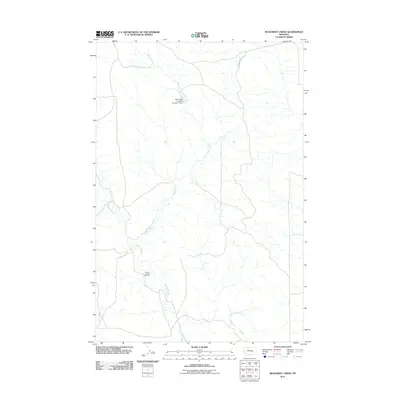
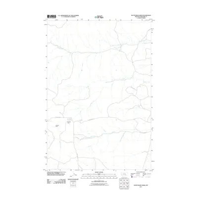
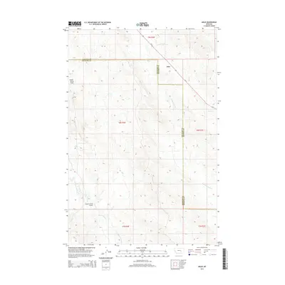
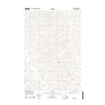
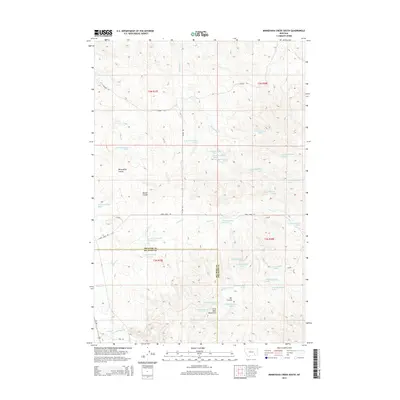
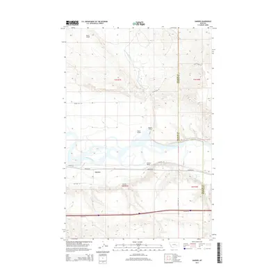
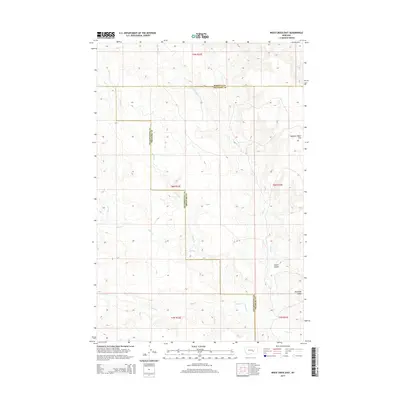
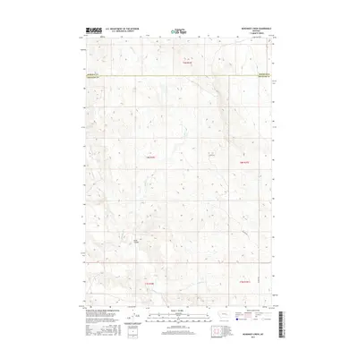
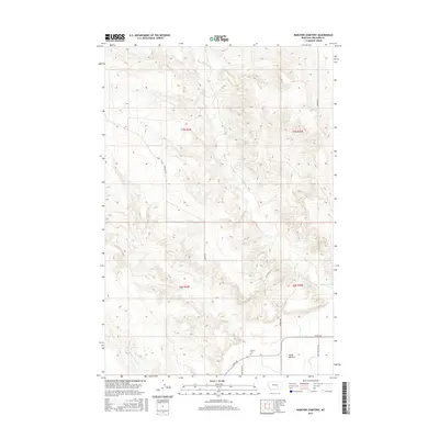
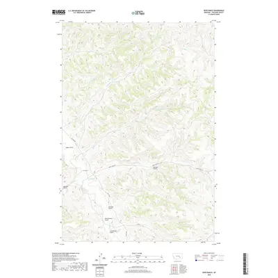
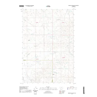
2024 Map of Marsh Coulee
USGS Topo · Published 2024About this map
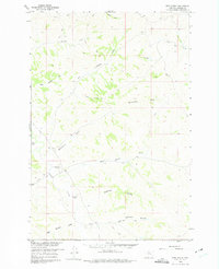
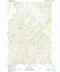
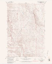
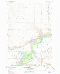
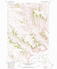
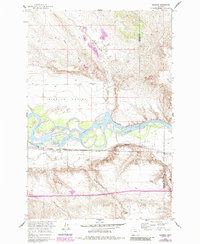
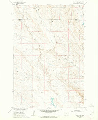
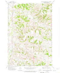
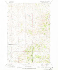
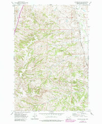
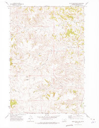
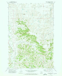
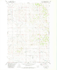
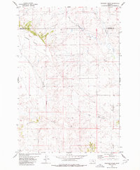
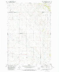
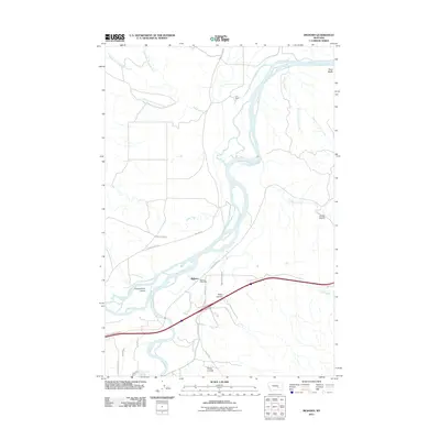
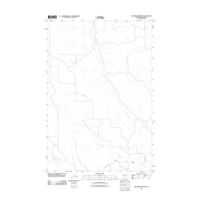
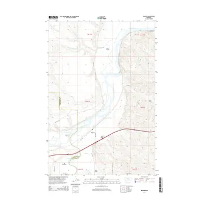
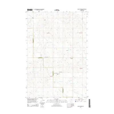
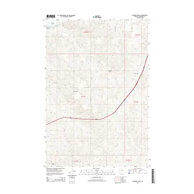
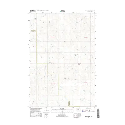
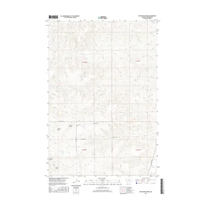
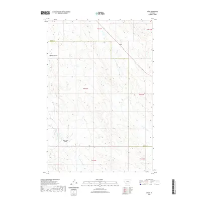
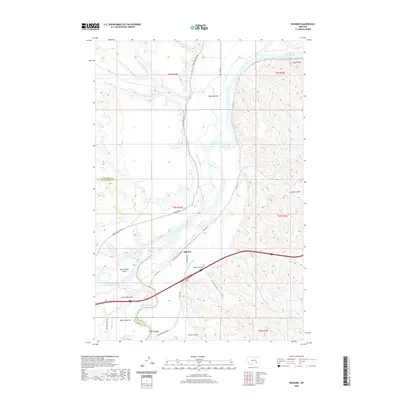
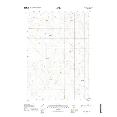
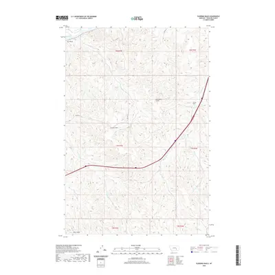
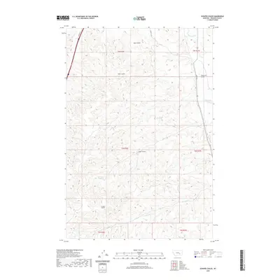
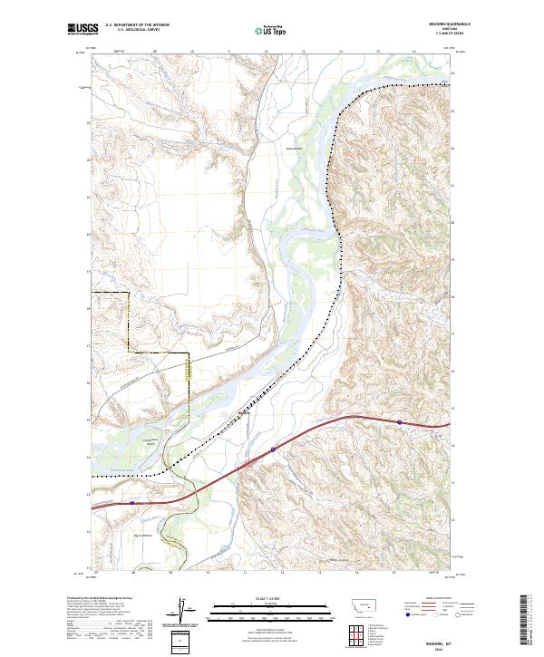
The Bighorn River cuts through the northwest corner of this Treasure County landscape, defining the fertile lowlands of Big Ox Bottom. This reach of the river reflects a classic Montana plains environment where water management is central to the local economy, evidenced by the presence of the Victory Ditch irrigation canal. The surrounding terrain is heavily dissected by an intricate network of drainage features, locally known as coulees, which flow from the higher ground toward the main river valley and Tullock Creek.
Find a feature on this map
30 named features on this map. Tap any name to fly to it.
Don’t see what you’re looking for? This feature index may not catch every label — zoom into the map to look around manually.
Map Details
Editions of this 2024 Marsh Coulee Map
This is the sole edition of this map. No revisions or reprints were ever made.
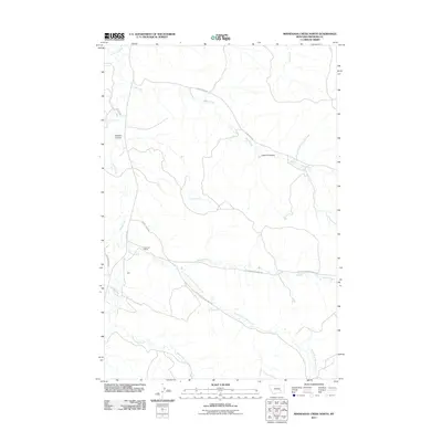
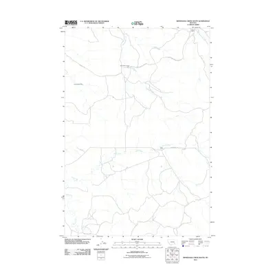
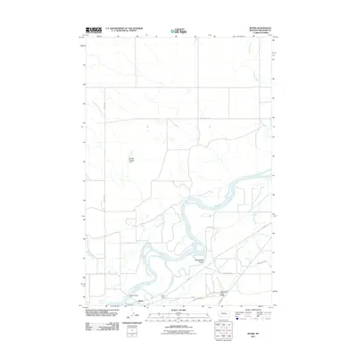
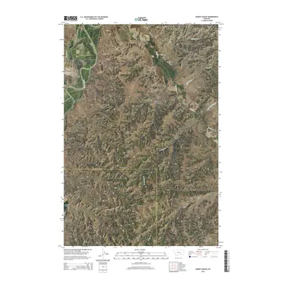
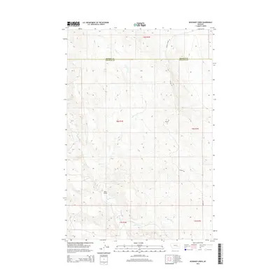
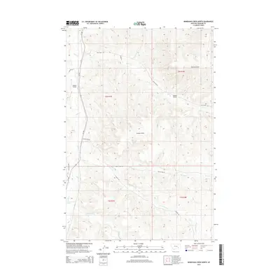
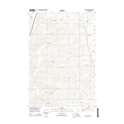
Historical Maps of Yellowstone County Through Time
108 maps found
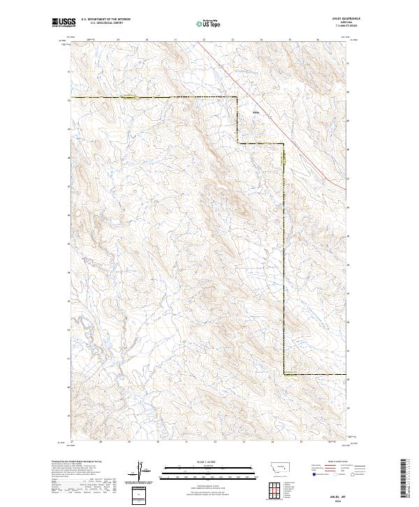
1960 Ahles
Treasure County, MT
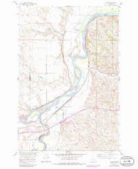
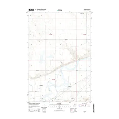
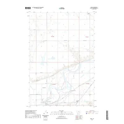
1960 Bighorn
Treasure County, MT
1960 Eldering Ranch
Treasure County, MT
1960 Hope Ranch
Treasure County, MT
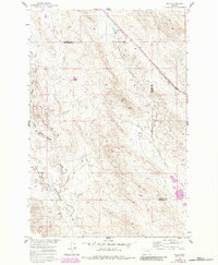
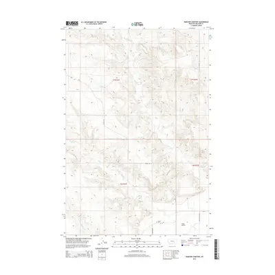
1960 Marsh Coulee
Treasure County, MT
1960 Mc Konkey Creek
Treasure County, MT
1960 Myers
Treasure County, MT
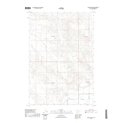
1960 Rancher Cemetery
Treasure County, MT
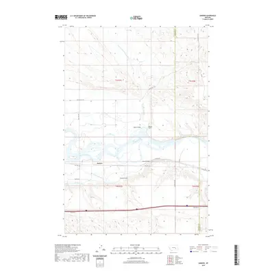
1960 Sanders
Treasure County, MT
1960 Steie Ranch
Treasure County, MT
1972 Minnehaha Creek North
Treasure County, MT
1972 Minnehaha Creek South
Treasure County, MT
1972 Scraper Coulee
Treasure County, MT
1972 South Bear Creek
Treasure County, MT
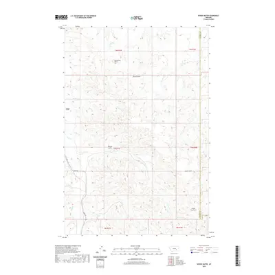
1972 Woods Water
Treasure County, MT
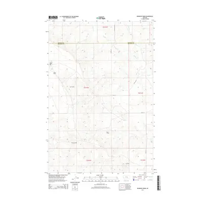
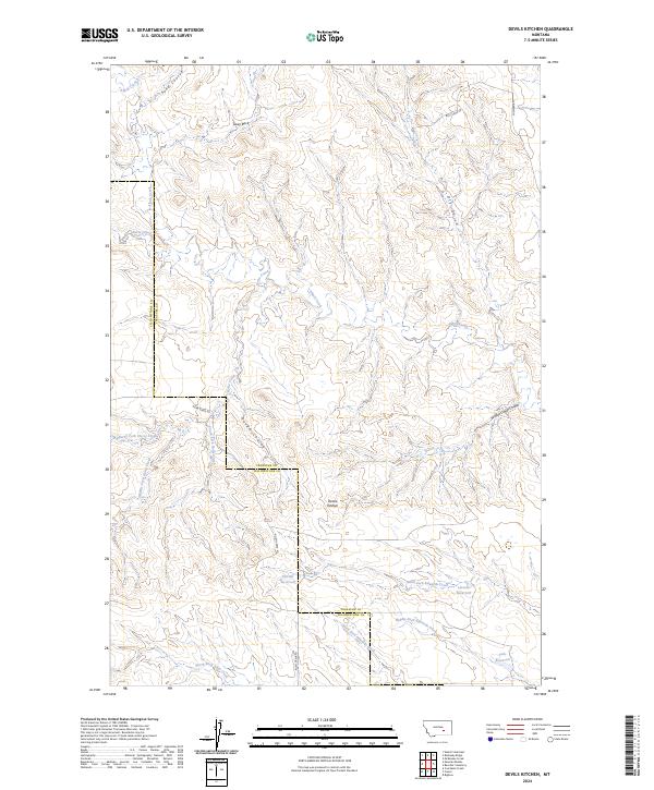
1979 Devils Kitchen
Treasure County, MT
1980 Ruskosky Ridge
Treasure County, MT
1980 Weed Creek East
Treasure County, MT
2011 Ahles
Treasure County, MT
2011 Bighorn
Treasure County, MT
2011 Devils Kitchen
Treasure County, MT
2011 Eldering Ranch
Treasure County, MT

2011 Hope Ranch
Treasure County, MT
2011 Marsh Coulee
Treasure County, MT
2011 McKonkey Creek
Treasure County, MT
2011 Minnehaha Creek North
Treasure County, MT
2011 Minnehaha Creek South
Treasure County, MT
2011 Myers
Treasure County, MT
2011 Rancher Cemetery
Treasure County, MT
2011 Ruskosky Ridge
Treasure County, MT
2011 Sanders
Treasure County, MT
2011 Scraper Coulee
Treasure County, MT
2011 South Bear Creek
Treasure County, MT
2011 Steie Ranch
Treasure County, MT
2011 Weed Creek East
Treasure County, MT
2011 Woods Water
Treasure County, MT
2014 Ahles
Treasure County, MT
2014 Bighorn
Treasure County, MT
2014 Devils Kitchen
Treasure County, MT
2014 Eldering Ranch
Treasure County, MT
2014 Hope Ranch
Treasure County, MT
2014 Marsh Coulee
Treasure County, MT
2014 McKonkey Creek
Treasure County, MT
2014 Minnehaha Creek North
Treasure County, MT
2014 Minnehaha Creek South
Treasure County, MT
2014 Myers
Treasure County, MT
2014 Rancher Cemetery
Treasure County, MT
2014 Ruskosky Ridge
Treasure County, MT
2014 Sanders
Treasure County, MT
2014 Scraper Coulee
Treasure County, MT
2014 South Bear Creek
Treasure County, MT
2014 Steie Ranch
Treasure County, MT
2014 Weed Creek East
Treasure County, MT
2014 Woods Water
Treasure County, MT
2017 Ahles
Treasure County, MT
2017 Bighorn
Treasure County, MT
2017 Devils Kitchen
Treasure County, MT
2017 Eldering Ranch
Treasure County, MT
2017 Hope Ranch
Treasure County, MT
2017 Marsh Coulee
Treasure County, MT
2017 McKonkey Creek
Treasure County, MT
2017 Minnehaha Creek North
Treasure County, MT
2017 Minnehaha Creek South
Treasure County, MT
2017 Myers
Treasure County, MT
2017 Rancher Cemetery
Treasure County, MT
2017 Ruskosky Ridge
Treasure County, MT
2017 Sanders
Treasure County, MT
2017 Scraper Coulee
Treasure County, MT
2017 South Bear Creek
Treasure County, MT
2017 Steie Ranch
Treasure County, MT
2017 Weed Creek East
Treasure County, MT
2017 Woods Water
Treasure County, MT
2020 Ahles
Treasure County, MT
2020 Bighorn
Treasure County, MT
2020 Devils Kitchen
Treasure County, MT
2020 Eldering Ranch
Treasure County, MT
2020 Hope Ranch
Treasure County, MT
2020 Marsh Coulee
Treasure County, MT
2020 McKonkey Creek
Treasure County, MT
2020 Minnehaha Creek North
Treasure County, MT
2020 Minnehaha Creek South
Treasure County, MT
2020 Myers
Treasure County, MT
2020 Rancher Cemetery
Treasure County, MT

2020 Ruskosky Ridge
Treasure County, MT
2020 Sanders
Treasure County, MT
2020 Scraper Coulee
Treasure County, MT
2020 South Bear Creek
Treasure County, MT
2020 Steie Ranch
Treasure County, MT
2020 Weed Creek East
Treasure County, MT
2020 Woods Water
Treasure County, MT
2024 Ahles
Treasure County, MT
2024 Bighorn
Treasure County, MT
2024 Devils Kitchen
Treasure County, MT
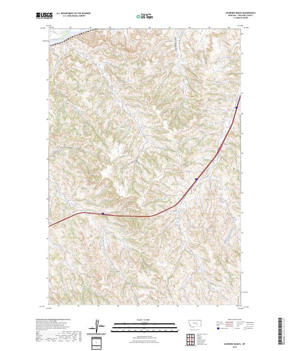
2024 Eldering Ranch
Treasure County, MT
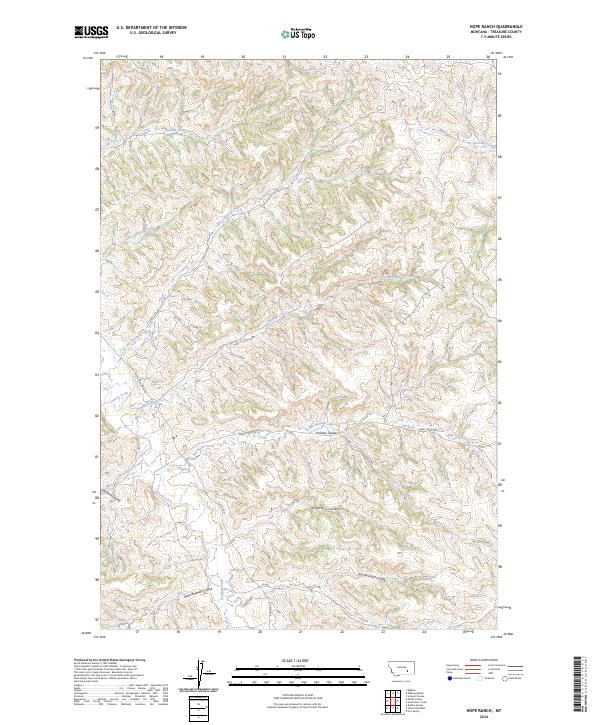
2024 Hope Ranch
Treasure County, MT
2024 Marsh Coulee
Treasure County, MT
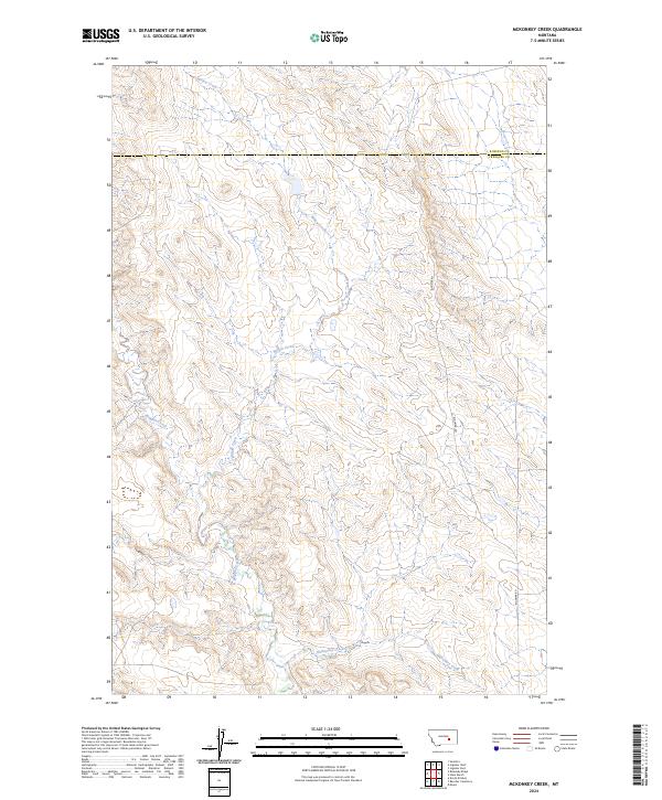
2024 McKonkey Creek
Treasure County, MT
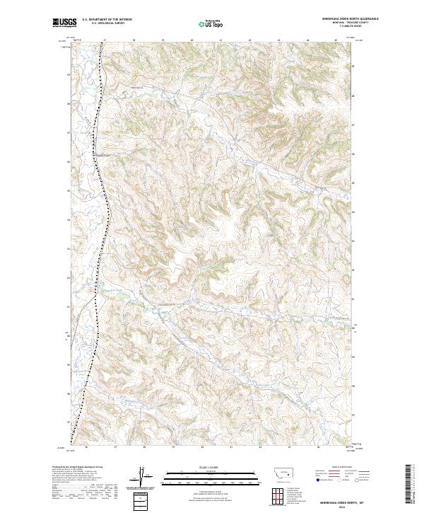
2024 Minnehaha Creek North
Treasure County, MT
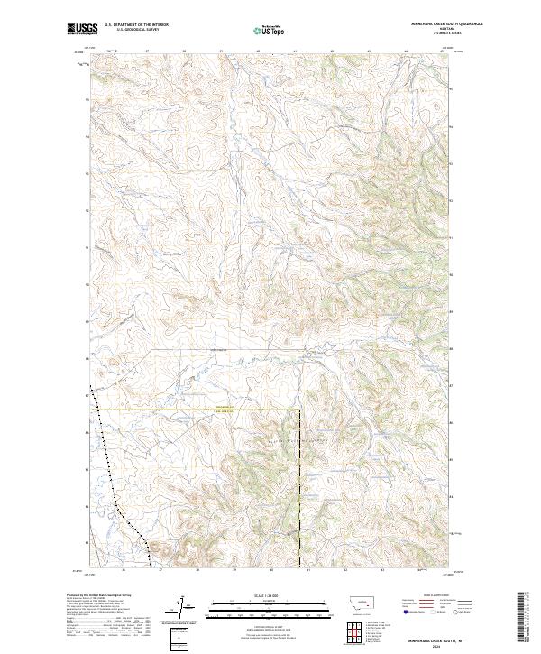
2024 Minnehaha Creek South
Treasure County, MT
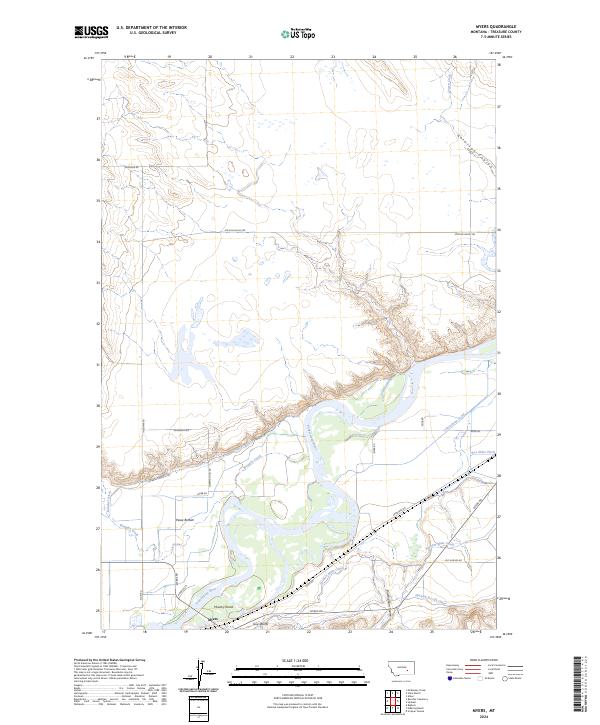
2024 Myers
Treasure County, MT
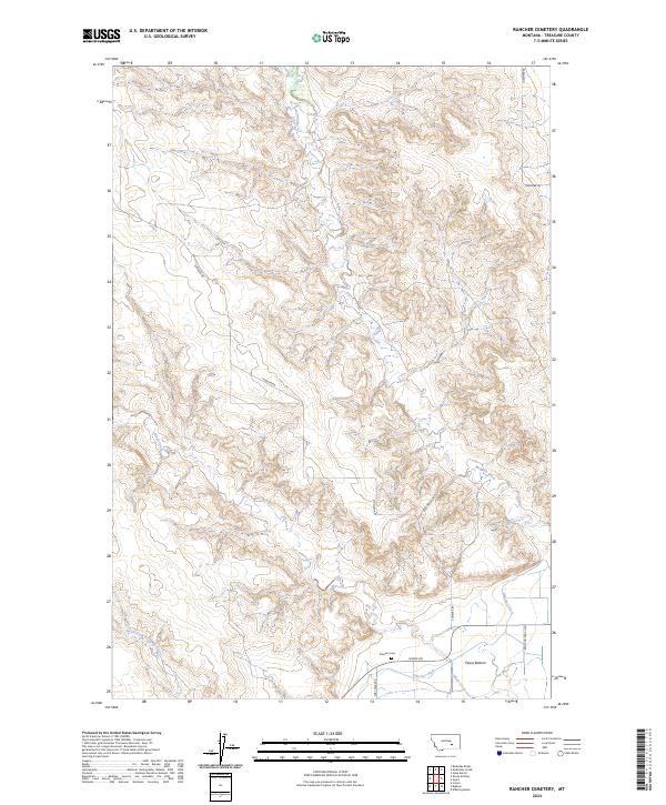
2024 Rancher Cemetery
Treasure County, MT
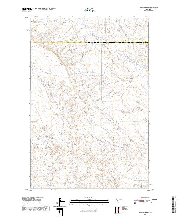
2024 Ruskosky Ridge
Treasure County, MT
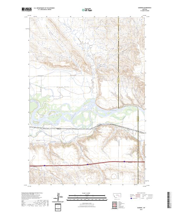
2024 Sanders
Treasure County, MT
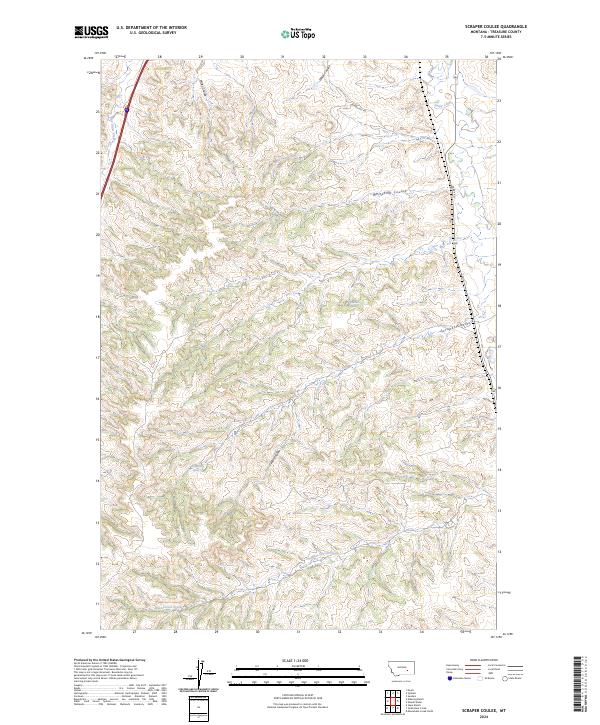
2024 Scraper Coulee
Treasure County, MT
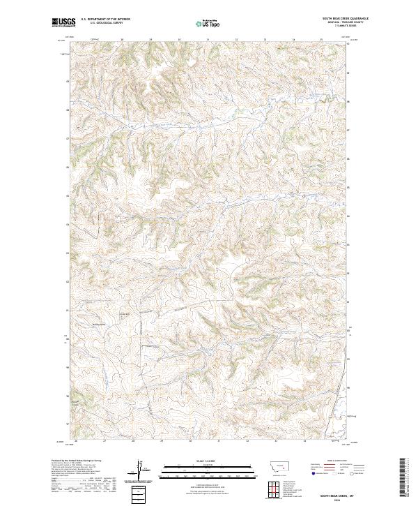
2024 South Bear Creek
Treasure County, MT
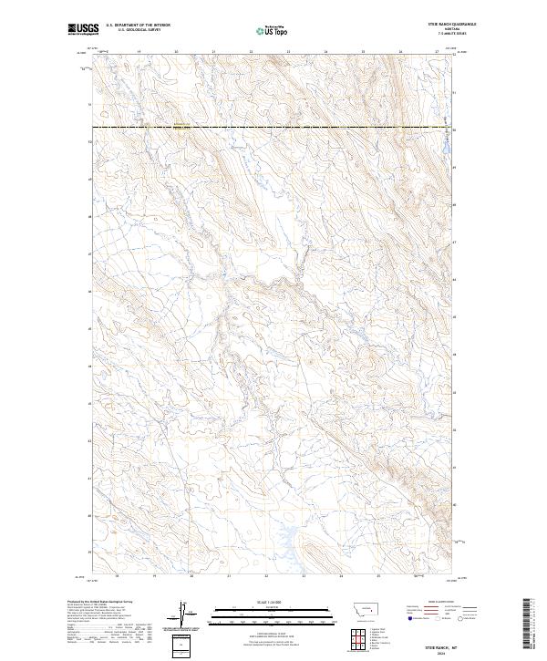
2024 Steie Ranch
Treasure County, MT
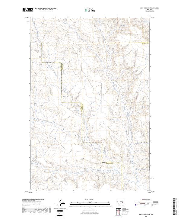
2024 Weed Creek East
Treasure County, MT
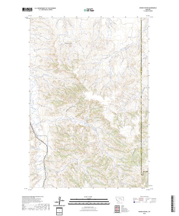
2024 Woods Water
Treasure County, MT