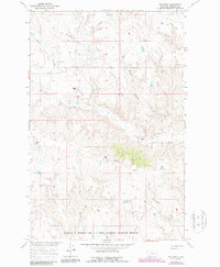
1965 Map of Pea Ridge
USGS Topo · Published 1987About this map
Pea Ridge overlooks an intricate landscape of coulees and drainages within the Charles M Russell and U L Bend National Wildlife Refuges in northern Montana. Surveyed in the mid-1960s with 1980s updates, this map captures a remote section of Phillips County characterized by steep erosion patterns and vital water catchments like Siwash Reservoir and Shale Res. The terrain is defined by a dense network of coulees, including Horse Pasture, Hardpan, and Clayton, which channel seasonal runoff toward Fourchette Creek.
Find a feature on this map
17 named features on this map. Tap any name to fly to it.
Don’t see what you’re looking for? This feature index may not catch every label — zoom into the map to look around manually.
Map Details
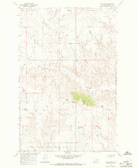
Editions of this 1965 Pea Ridge Map
2 editions found
Other maps of this area

1954 · Jordan
USGS Topo · 1:250,000

1954 · Lewistown
USGS Topo · 1:250,000

1956 · Jordan
USGS Topo · 1:250,000

1958 · Jordan
USGS Topo · 1:250,000

1959 · Lewistown
USGS Topo · 1:250,000

1964 · Jordan
USGS Topo · 1:250,000

1965 · Karsten Coulee
USGS Topo · 1:24,000

1965 · Chain Buttes
USGS Topo · 1:24,000

1965 · Locke Ranch
USGS Topo · 1:24,000
1965 · Mickey Butte
USGS Topo · 1:24,000