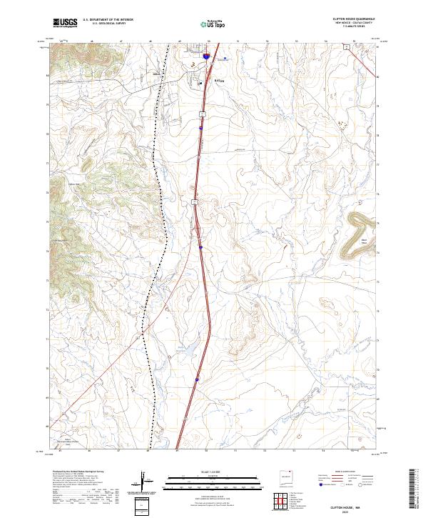
2023 Map of Clifton House
USGS Topo · Published 2023About this map
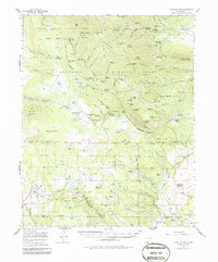
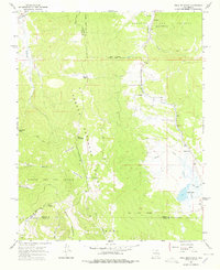
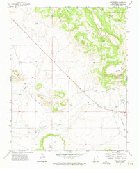
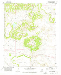
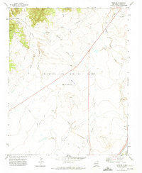
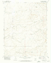
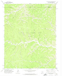
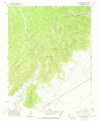
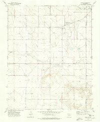
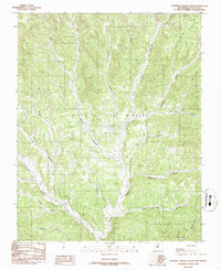
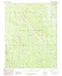
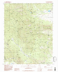
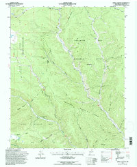
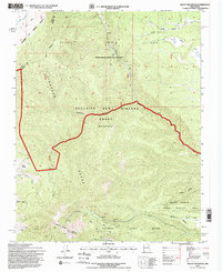
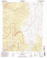
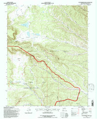
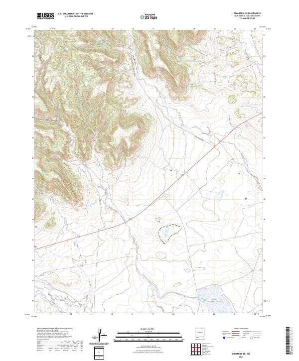
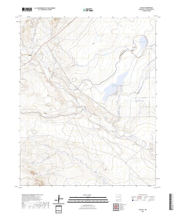
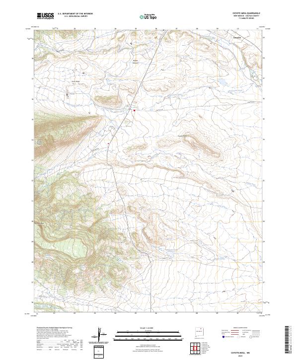
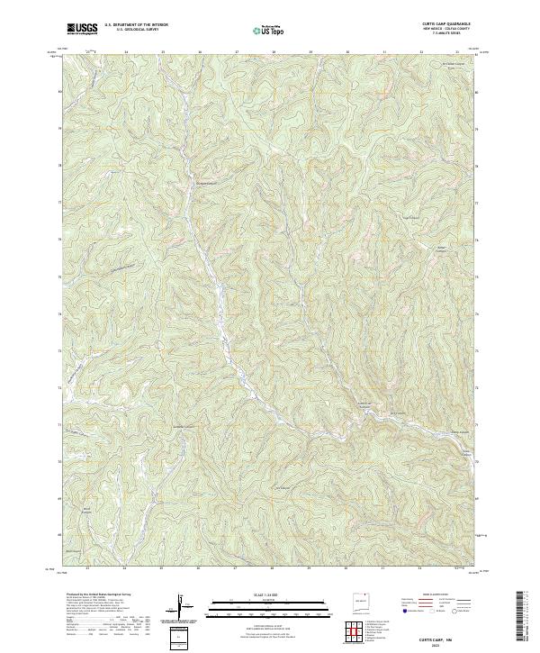
The southern outskirts of Raton meet the high plains of Colfax County in this topographic survey, where the Canadian River cuts through the western landscape alongside the Clifton Hills. The map documents a transition from the urban grid of southern Raton—characterized by street names like Gold St and Ore Ave—to the expansive ranching and airport lands to the south. The Raton Municipal Airport/Crews Field occupies the southwestern corner, while the Davis Reservoir and Raton Creek provide essential water infrastructure in an otherwise arid environment. Evidence of the region’s volcanic and sedimentary history is visible in the prominent elevations of Green Mountain and the distinct volcanic capping of Black Mesa to the east. Transportation corridors, including the path of the former Santa Fe Trail route, are represented here by a modern network of roads and frontage lanes that parallel the various branches of Chicorica Creek.
Find a feature on this map
35 named features on this map. Tap any name to fly to it.
Don’t see what you’re looking for? This feature index may not catch every label — zoom into the map to look around manually.
Map Details
Editions of this 2023 Clifton House Map
This is the sole edition of this map. No revisions or reprints were ever made.
Historical Maps of Raton Through Time
133 maps found
1915 Brilliant
Colfax County, NM

1915 Koehler
Colfax County, NM
1917 Koehler
Colfax County, NM
1956 Miami
Colfax County, NM
1956 Tooth Of Time
Colfax County, NM
1962 Ash Mountain
Colfax County, NM
1962 Casa Grande
Colfax County, NM
1963 Red River Pass
Colfax County, NM

1964 Pinon Hills
Colfax County, NM

1965 Abbott
Colfax County, NM

1965 Abbott NW
Colfax County, NM

1965 French
Colfax County, NM
1965 Osha Mountain
Colfax County, NM

1965 Palo Flechado Pass
Colfax County, NM

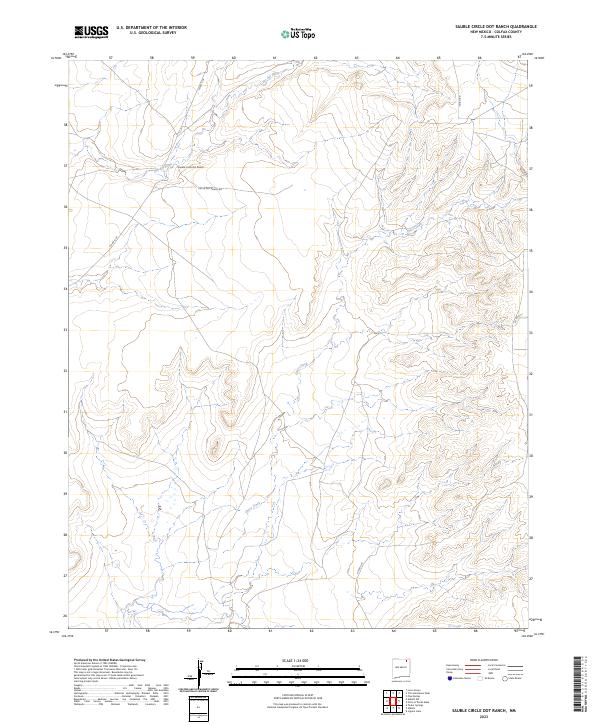
1965 Sauble Circle Dot Ranch
Colfax County, NM

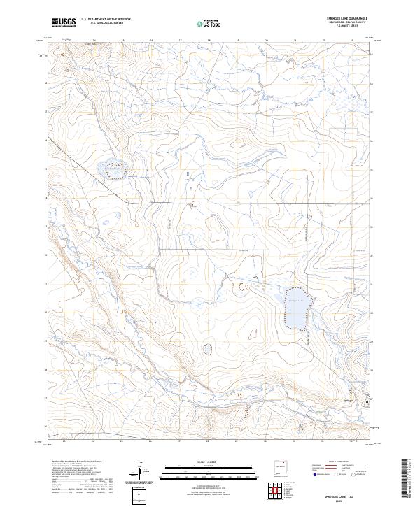
1965 Springer Lake
Colfax County, NM

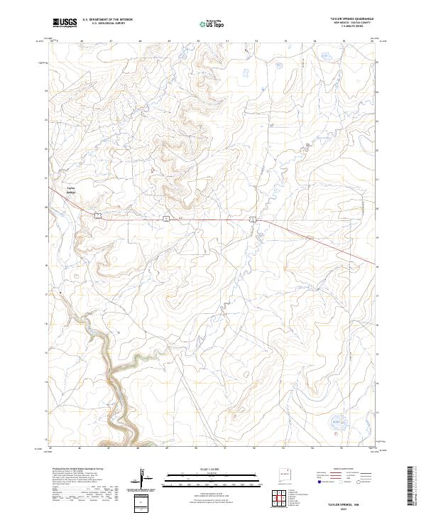
1965 Taylor Springs
Colfax County, NM

1971 Clifton House
Colfax County, NM

1971 Colfax
Colfax County, NM
1971 Curtis Camp
Colfax County, NM
1971 Dale Mountain
Colfax County, NM
1971 Eagle Tail Mountain
Colfax County, NM
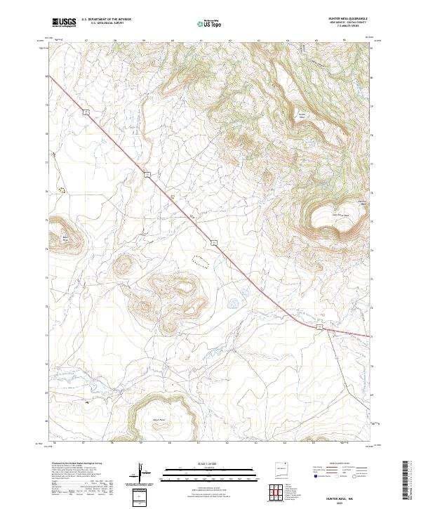
1971 Hunter Mesa
Colfax County, NM
1971 Johnson Park
Colfax County, NM

1971 Kiowa
Colfax County, NM
1971 Koehler
Colfax County, NM
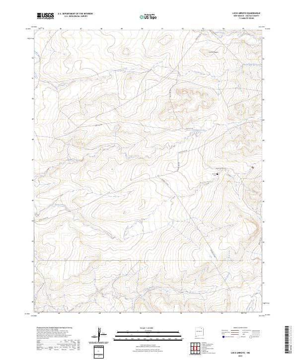
1971 Loco Arroyo
Colfax County, NM
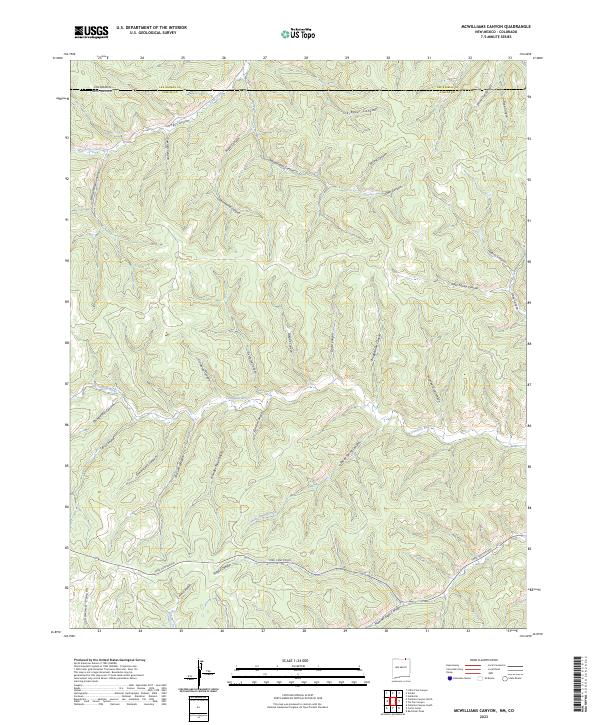
1971 Mc Williams Canyon
Colfax County, NM
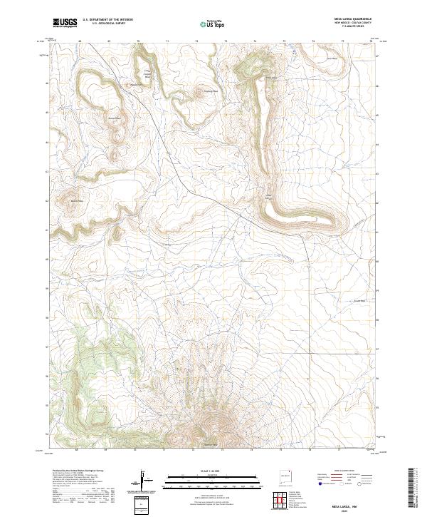
1971 Mesa Larga
Colfax County, NM

1971 Palo Blanco Mountain
Colfax County, NM
1971 Pine Buttes
Colfax County, NM
1971 Red River Peak
Colfax County, NM

1971 Robinson Peak
Colfax County, NM
1971 Saltpeter Mountain
Colfax County, NM
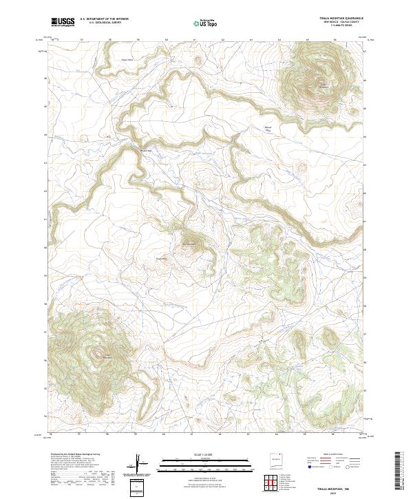
1971 Tinaja Mountain
Colfax County, NM
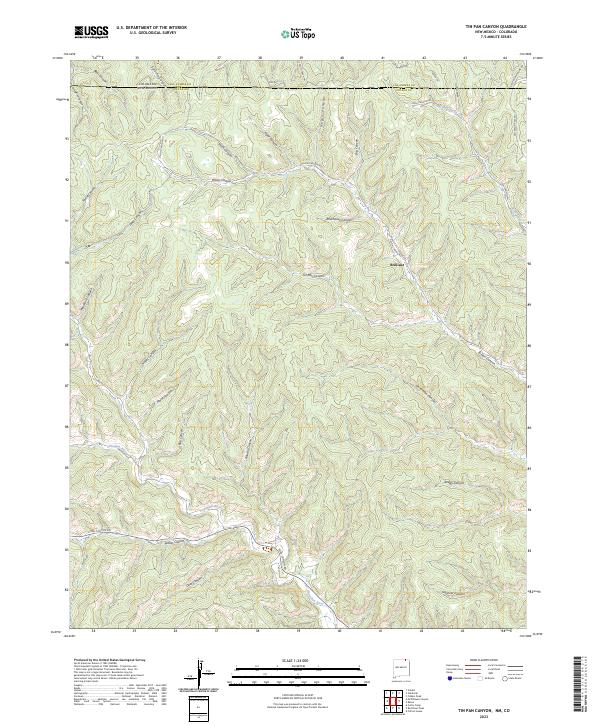
1971 Tin Pan Canyon
Colfax County, NM
1971 Tres Hermanos Peak
Colfax County, NM

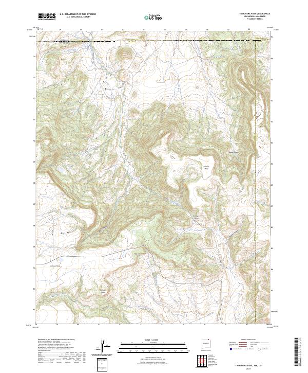
1971 Trinchera Pass
Colfax County, NM

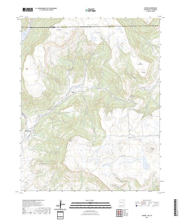
1971 Yankee
Colfax County, NM
1974 Farley
Colfax County, NM
1974 Ingram Lake
Colfax County, NM
1974 Lawrence Arroyo
Colfax County, NM
1974 Point Of Rocks Mesa
Colfax County, NM

1986 Ash Mountain
Colfax County, NM

1986 Caliente Canyon North
Colfax County, NM
1986 Caliente Canyon South
Colfax County, NM

1986 Casa Grande
Colfax County, NM
1986 Casa Grande SW
Colfax County, NM

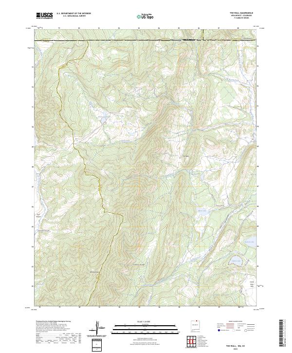
1986 The Wall
Colfax County, NM
1986 Van Bremmer Park
Colfax County, NM

1986 Vermejo Park
Colfax County, NM

1987 Abreu Canyon
Colfax County, NM

1987 Agua Fria Peak
Colfax County, NM

1987 Baldy Mountain
Colfax County, NM
1987 Cimarron SE
Colfax County, NM

1987 Coyote Mesa
Colfax County, NM

1987 Dawson
Colfax County, NM
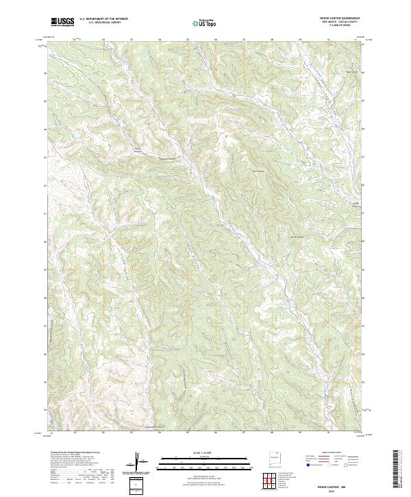
1987 House Canyon
Colfax County, NM

1987 Miami
Colfax County, NM

1987 Miami NE
Colfax County, NM

1987 Rayado
Colfax County, NM

1987 Touch-Me-Not Mountain
Colfax County, NM

1987 White Peak
Colfax County, NM

1994 Agua Fria Peak
Colfax County, NM

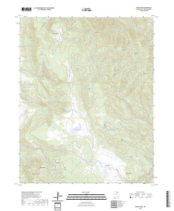
1994 Garcia Peak
Colfax County, NM
1994 Tooth Of Time
Colfax County, NM

1994 White Peak
Colfax County, NM
1995 Abreu Canyon
Colfax County, NM

1995 Ash Mountain
Colfax County, NM
1995 Baldy Mountain
Colfax County, NM

1995 Osha Mountain
Colfax County, NM
1995 Palo Flechado Pass
Colfax County, NM

1995 Red River Pass
Colfax County, NM

1995 The Wall
Colfax County, NM
1995 Van Bremmer Park
Colfax County, NM
2023 Abbott
Colfax County, NM
2023 Abbott NW
Colfax County, NM
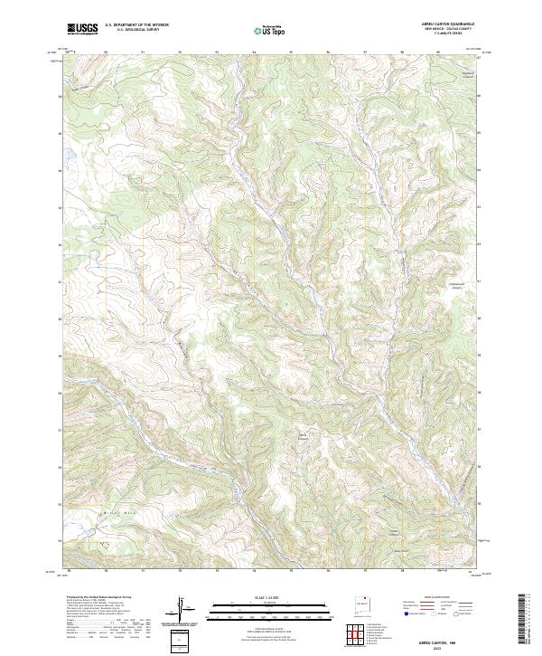
2023 Abreu Canyon
Colfax County, NM
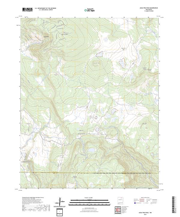
2023 Agua Fria Peak
Colfax County, NM
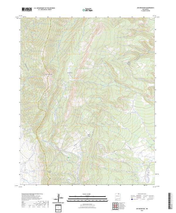
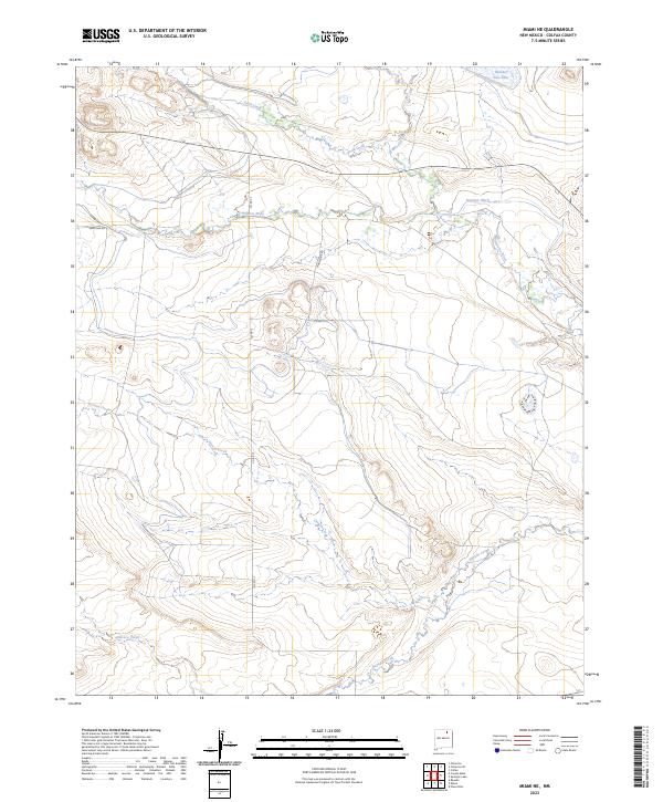
2023 Ash Mountain
Colfax County, NM
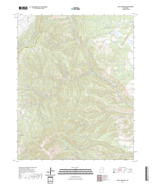
2023 Baldy Mountain
Colfax County, NM
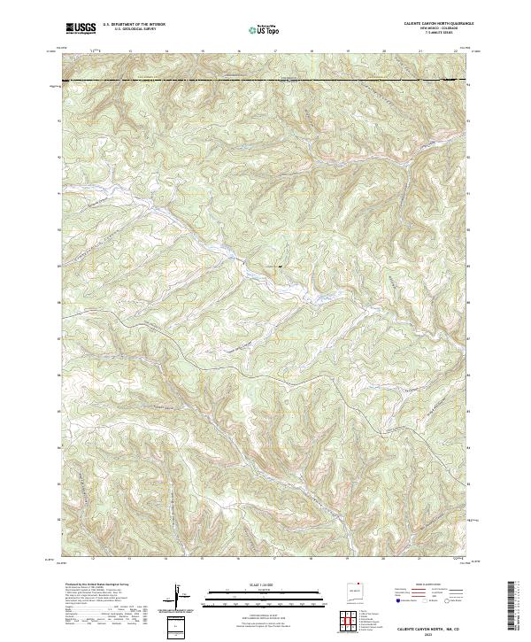
2023 Caliente Canyon North
Colfax County, NM
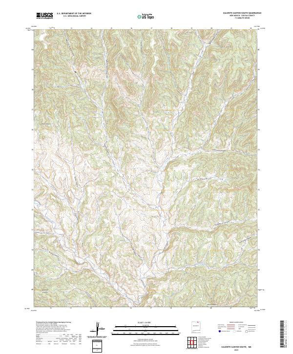
2023 Caliente Canyon South
Colfax County, NM
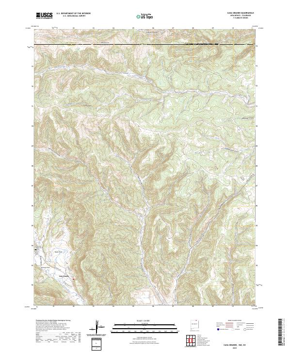
2023 Casa Grande
Colfax County, NM
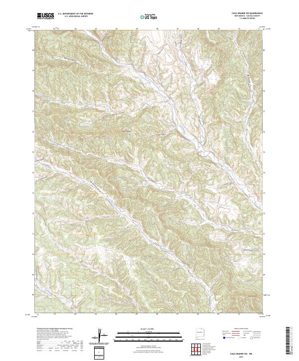
2023 Casa Grande SW
Colfax County, NM
2023 Cimarron SE
Colfax County, NM
2023 Clifton House
Colfax County, NM
2023 Colfax
Colfax County, NM
2023 Coyote Mesa
Colfax County, NM
2023 Curtis Camp
Colfax County, NM
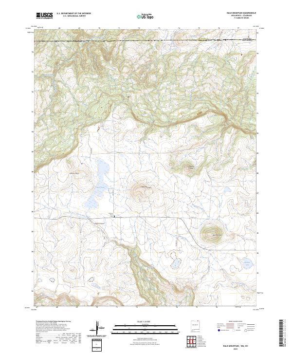
2023 Dale Mountain
Colfax County, NM

2023 Dawson
Colfax County, NM
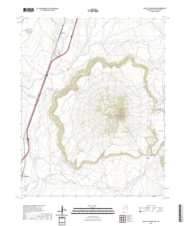
2023 Eagle Tail Mountain
Colfax County, NM
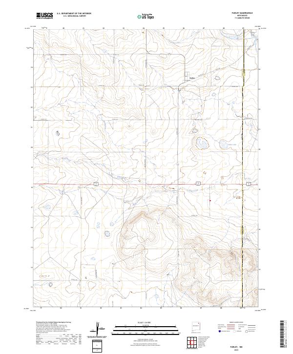
2023 Farley
Colfax County, NM
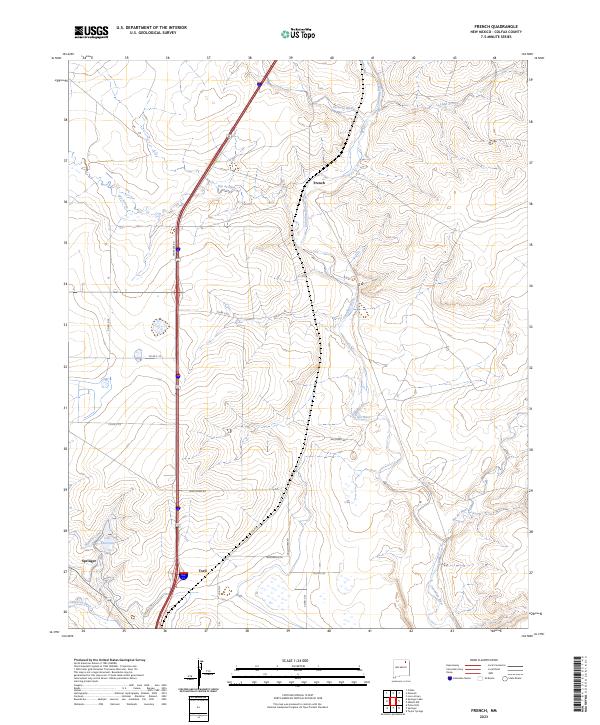
2023 French
Colfax County, NM
2023 Garcia Peak
Colfax County, NM
2023 House Canyon
Colfax County, NM
2023 Hunter Mesa
Colfax County, NM
2023 Ingram Lake
Colfax County, NM
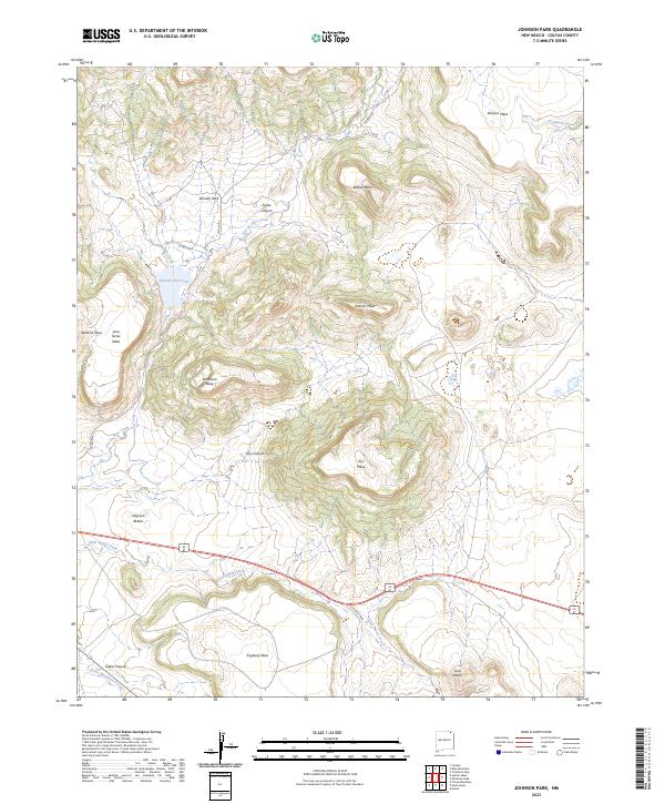
2023 Johnson Park
Colfax County, NM
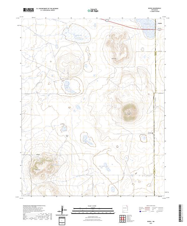
2023 Kiowa
Colfax County, NM
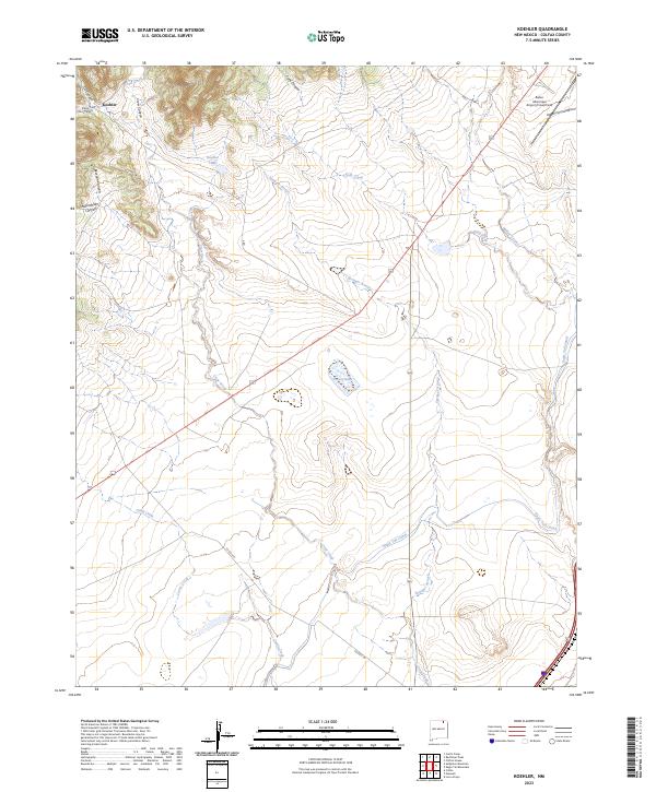
2023 Koehler
Colfax County, NM
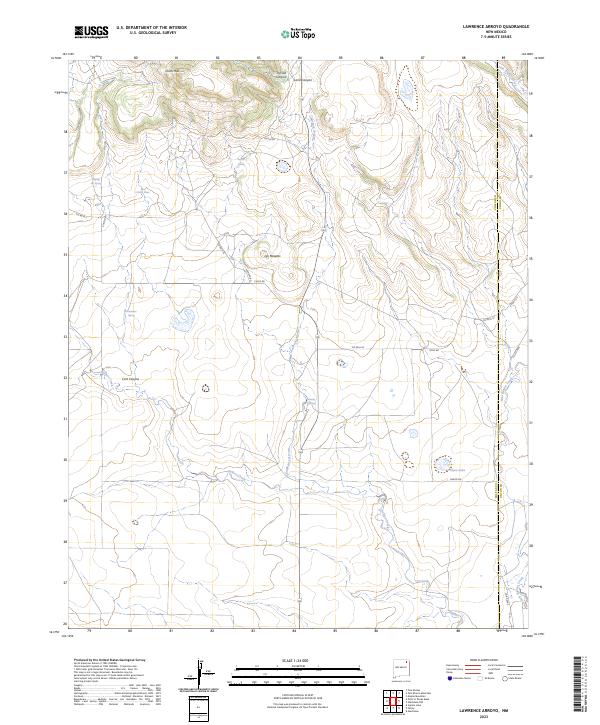
2023 Lawrence Arroyo
Colfax County, NM
2023 Loco Arroyo
Colfax County, NM
2023 McWilliams Canyon
Colfax County, NM
2023 Mesa Larga
Colfax County, NM
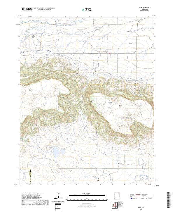
2023 Miami
Colfax County, NM
2023 Miami NE
Colfax County, NM
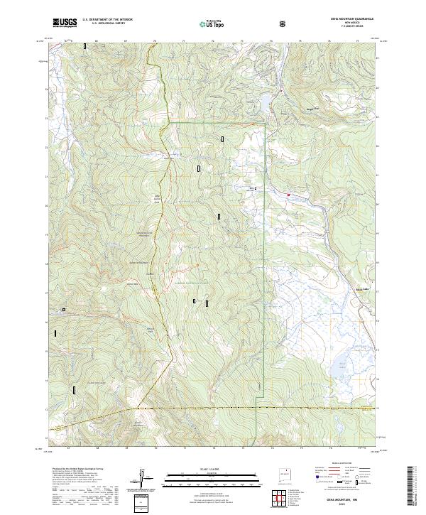
2023 Osha Mountain
Colfax County, NM
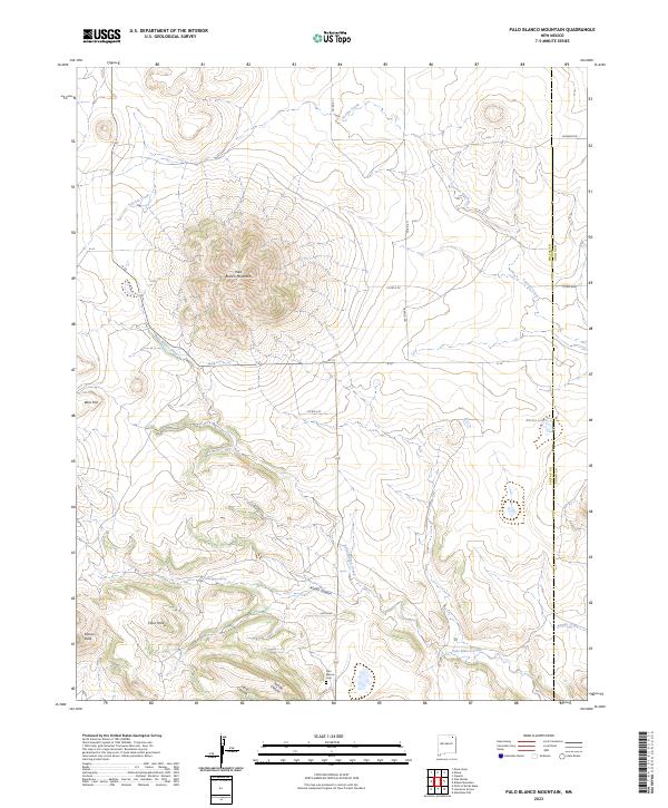
2023 Palo Blanco Mountain
Colfax County, NM
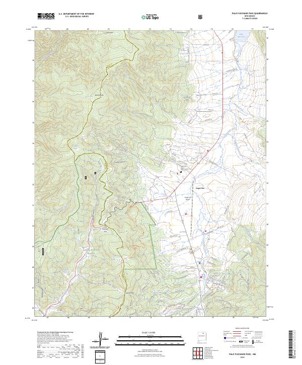
2023 Palo Flechado Pass
Colfax County, NM
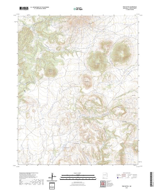
2023 Pine Buttes
Colfax County, NM
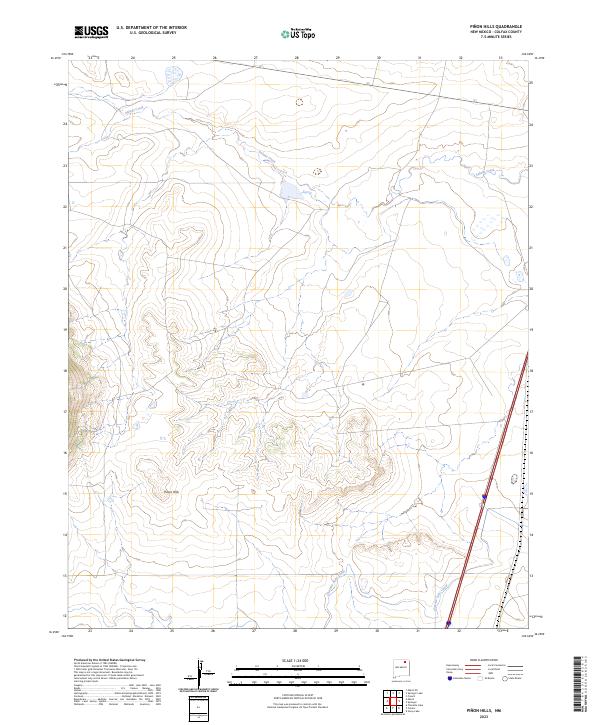
2023 Pinon Hills
Colfax County, NM
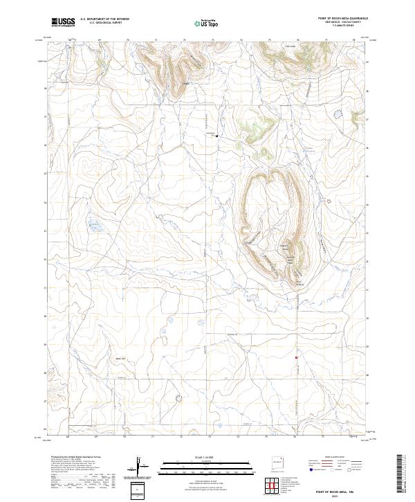
2023 Point of Rocks Mesa
Colfax County, NM
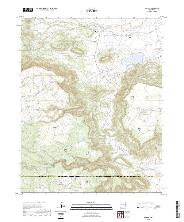
2023 Rayado
Colfax County, NM
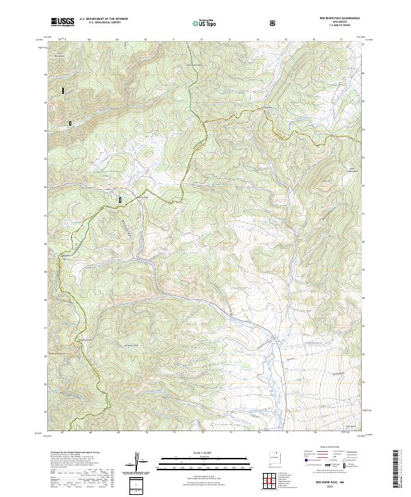
2023 Red River Pass
Colfax County, NM
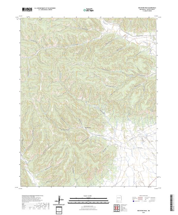
2023 Red River Peak
Colfax County, NM
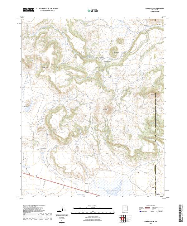
2023 Robinson Peak
Colfax County, NM
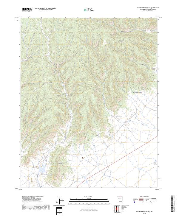
2023 Saltpeter Mountain
Colfax County, NM
2023 Sauble Circle Dot Ranch
Colfax County, NM
2023 Springer Lake
Colfax County, NM
2023 Taylor Springs
Colfax County, NM
2023 The Wall
Colfax County, NM
2023 Tinaja Mountain
Colfax County, NM
2023 Tin Pan Canyon
Colfax County, NM
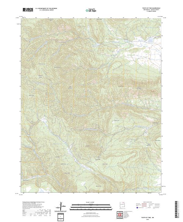
2023 Tooth of Time
Colfax County, NM

2023 Touch-Me-Not Mountain
Colfax County, NM
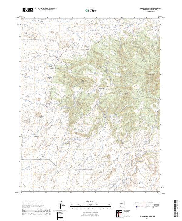
2023 Tres Hermanos Peak
Colfax County, NM
2023 Trinchera Pass
Colfax County, NM
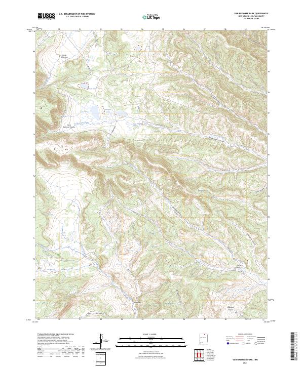
2023 Van Bremmer Park
Colfax County, NM
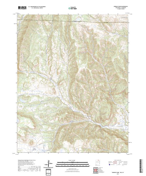
2023 Vermejo Park
Colfax County, NM
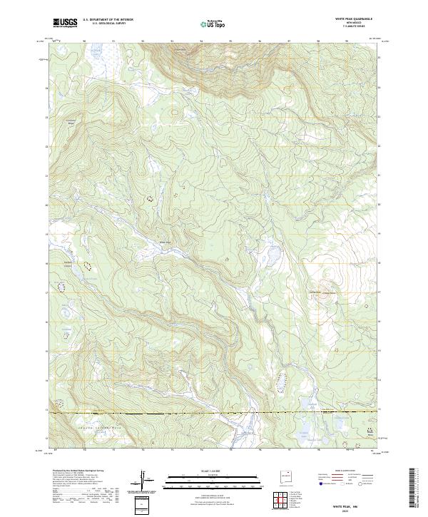
2023 White Peak
Colfax County, NM
2023 Yankee
Colfax County, NM