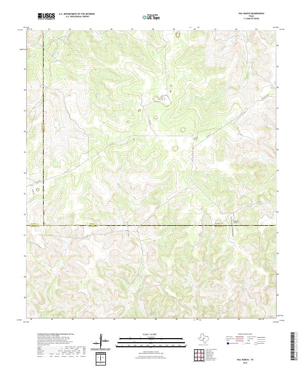
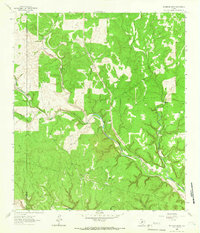
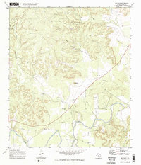
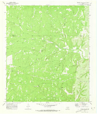
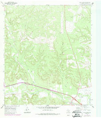
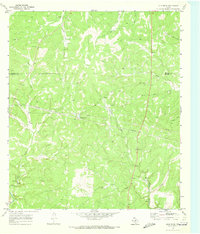
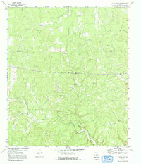
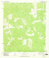
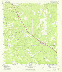
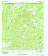
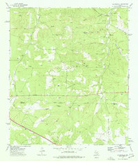
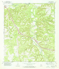
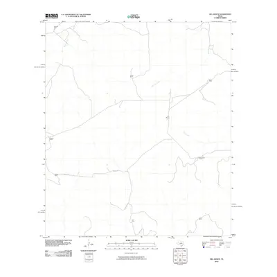
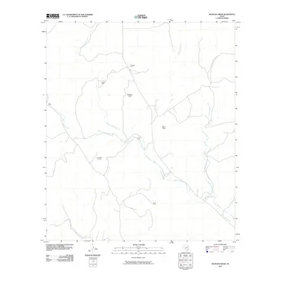
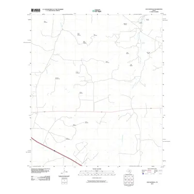
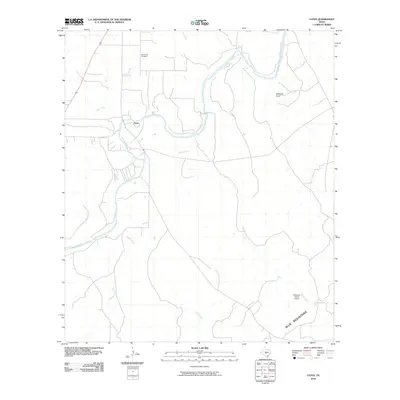
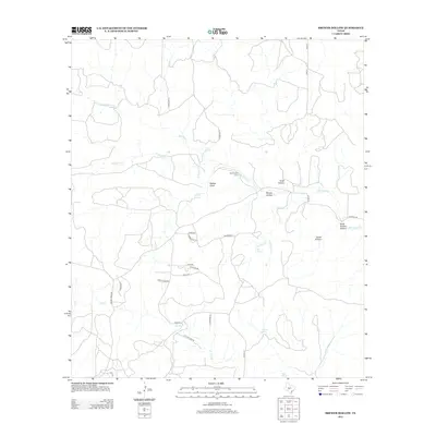
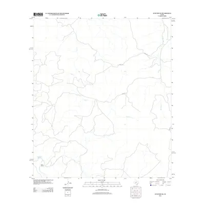
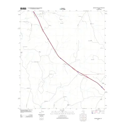
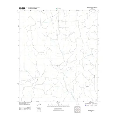
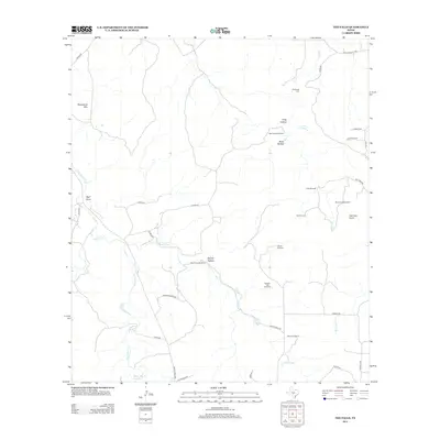
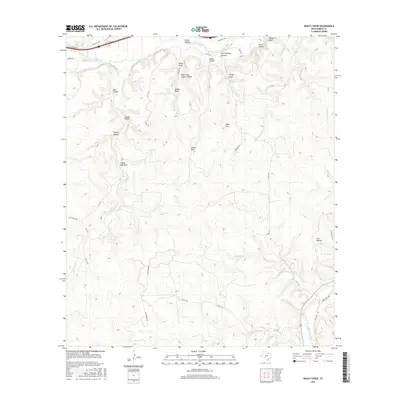
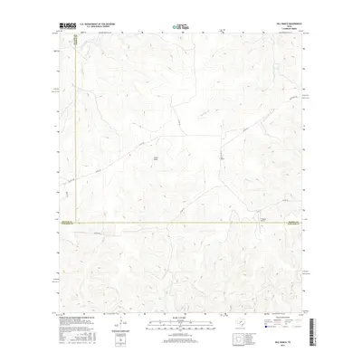
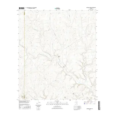
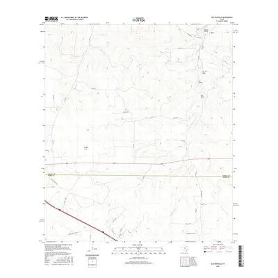
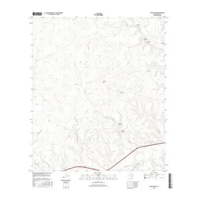
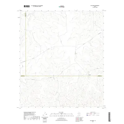
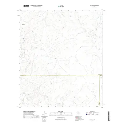
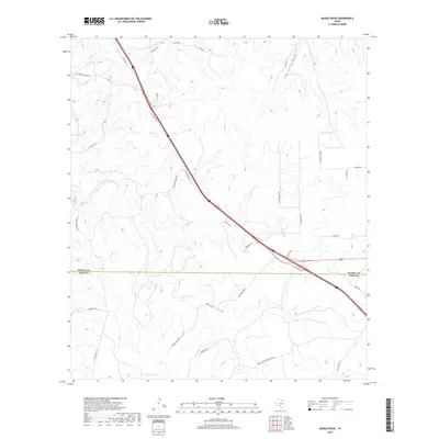
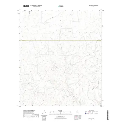
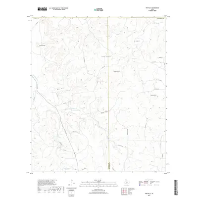
2022 Map of Hill Ranch
USGS Topo · Published 2022About this map
The Kimble County and Edwards County line bisects this portion of the Texas Hill Country, defining a landscape of deeply incised drainage systems and remote ranchlands. The J R Ranch Airport stands as a focal point of infrastructure in an area otherwise characterized by intermittent watercourses like Bois d'Arc Cr and Salina Cr. These creeks, along with Knust Draw, have carved the terrain into a complex series of ridges and valleys that dictate the winding paths of local thoroughfares.
Find a feature on this map
15 named features on this map. Tap any name to fly to it.
Don’t see what you’re looking for? This feature index may not catch every label — zoom into the map to look around manually.
Map Details
Editions of this 2022 Hill Ranch Map
This is the sole edition of this map. No revisions or reprints were ever made.
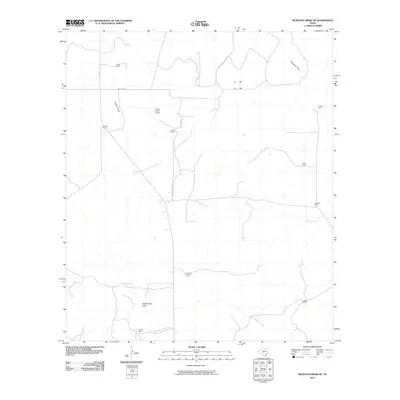
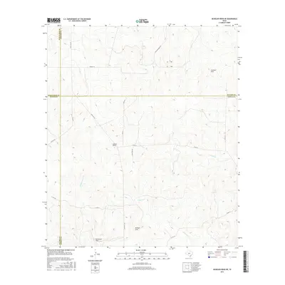
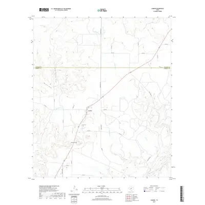
Historical Maps of Edwards County Through Time
133 maps found
1926 Segovia 2-c
Kimble County, TX
1962 Hill Ranch
Kimble County, TX
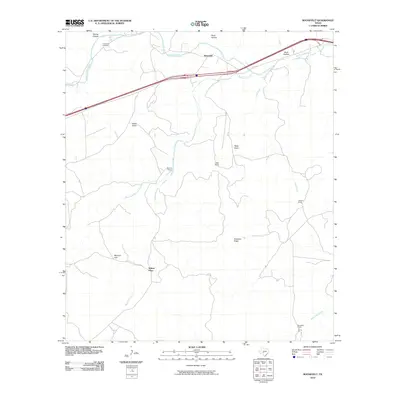
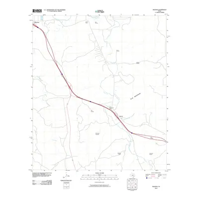
1962 Roosevelt
Kimble County, TX
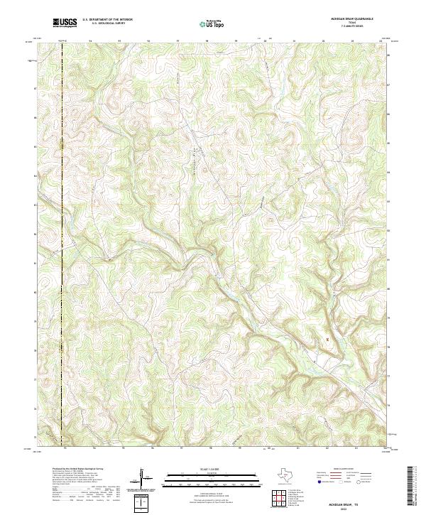
1963 McKegan Draw
Kimble County, TX
1963 McKegan Draw NE
Kimble County, TX
1968 London
Kimble County, TX
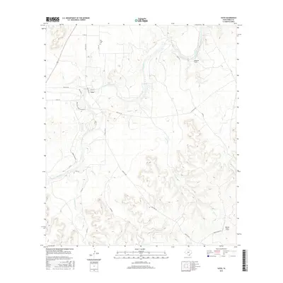
1968 Yates
Kimble County, TX
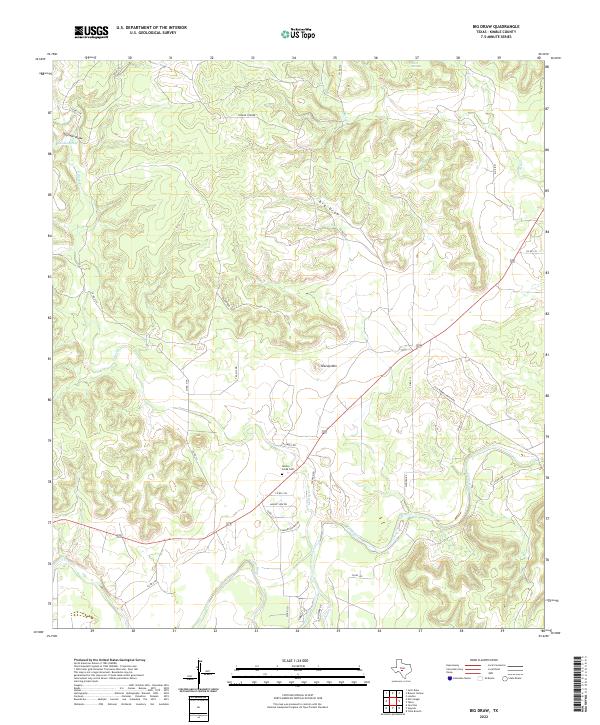
1970 Big Draw
Kimble County, TX
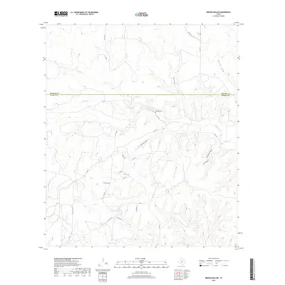
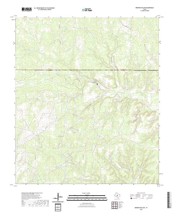
1970 Brewer Hollow
Kimble County, TX
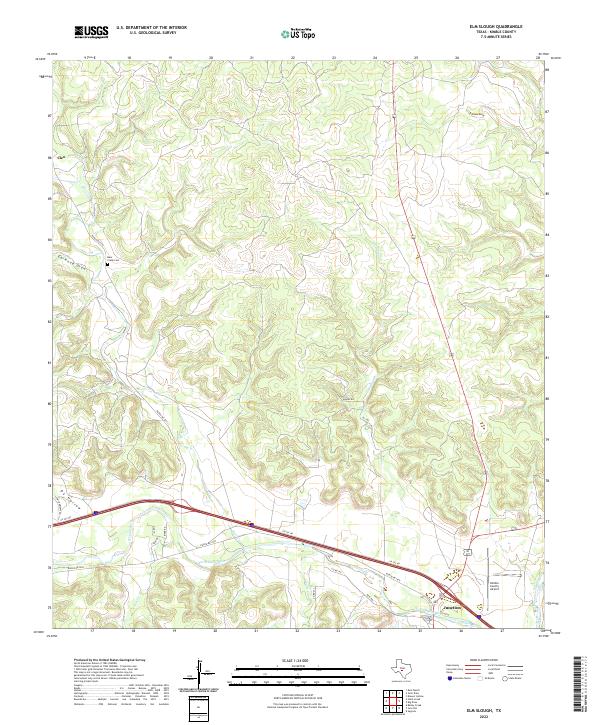
1970 Elm Slough
Kimble County, TX
1970 Julio Draw
Kimble County, TX
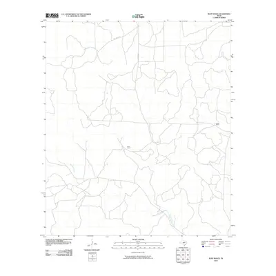
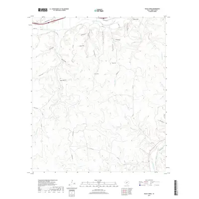
1970 Rust Ranch
Kimble County, TX
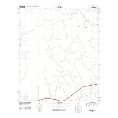
1970 Stark Creek
Kimble County, TX
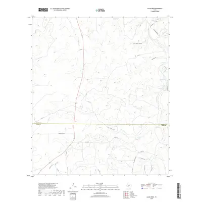
1974 Allen Creek
Kimble County, TX
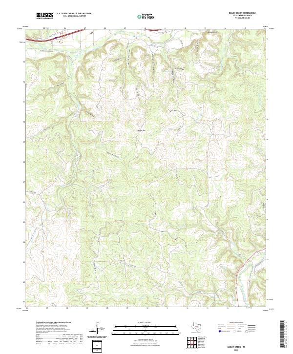
1974 Bailey Creek
Kimble County, TX
1974 Junction SE
Kimble County, TX
1974 Mudge Draw
Kimble County, TX
1974 Noxville
Kimble County, TX
1974 Old Noxville
Kimble County, TX
1974 Segovia
Kimble County, TX
1974 Telegraph
Kimble County, TX
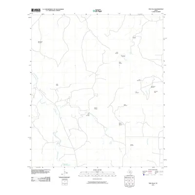
1974 The Falls
Kimble County, TX
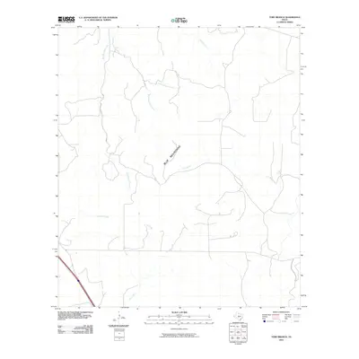
1974 Tobe Branch
Kimble County, TX
2010 Allen Creek
Kimble County, TX

2010 Bailey Creek
Kimble County, TX
2010 Big Draw
Kimble County, TX
2010 Brewer Hollow
Kimble County, TX
2010 Elm Slough
Kimble County, TX
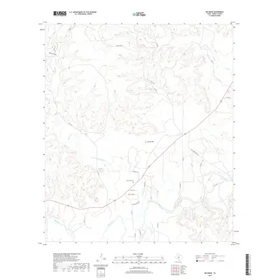
2010 Hill Ranch
Kimble County, TX
2010 Julio Draw
Kimble County, TX
2010 Junction SE
Kimble County, TX
2010 London
Kimble County, TX
2010 McKegan Draw
Kimble County, TX
2010 McKegan Draw NE
Kimble County, TX
2010 Mudge Draw
Kimble County, TX
2010 Noxville
Kimble County, TX
2010 Old Noxville
Kimble County, TX
2010 Roosevelt
Kimble County, TX
2010 Rust Ranch
Kimble County, TX
2010 Segovia
Kimble County, TX
2010 Stark Creek
Kimble County, TX
2010 Telegraph
Kimble County, TX
2010 The Falls
Kimble County, TX
2010 Tobe Branch
Kimble County, TX
2010 Yates
Kimble County, TX
2012 Allen Creek
Kimble County, TX
2012 Bailey Creek
Kimble County, TX
2012 Big Draw
Kimble County, TX
2012 Brewer Hollow
Kimble County, TX
2012 Elm Slough
Kimble County, TX
2012 Hill Ranch
Kimble County, TX
2012 Julio Draw
Kimble County, TX
2012 Junction SE
Kimble County, TX
2012 London
Kimble County, TX
2012 McKegan Draw
Kimble County, TX
2012 McKegan Draw NE
Kimble County, TX
2012 Mudge Draw
Kimble County, TX
2012 Noxville
Kimble County, TX
2012 Old Noxville
Kimble County, TX
2012 Roosevelt
Kimble County, TX
2012 Rust Ranch
Kimble County, TX
2012 Segovia
Kimble County, TX
2012 Stark Creek
Kimble County, TX
2012 Telegraph
Kimble County, TX
2012 The Falls
Kimble County, TX
2012 Tobe Branch
Kimble County, TX
2012 Yates
Kimble County, TX
2016 Allen Creek
Kimble County, TX
2016 Bailey Creek
Kimble County, TX
2016 Big Draw
Kimble County, TX
2016 Brewer Hollow
Kimble County, TX
2016 Elm Slough
Kimble County, TX
2016 Hill Ranch
Kimble County, TX
2016 Julio Draw
Kimble County, TX
2016 Junction SE
Kimble County, TX
2016 London
Kimble County, TX
2016 McKegan Draw
Kimble County, TX
2016 McKegan Draw NE
Kimble County, TX
2016 Mudge Draw
Kimble County, TX
2016 Noxville
Kimble County, TX
2016 Old Noxville
Kimble County, TX
2016 Roosevelt
Kimble County, TX
2016 Rust Ranch
Kimble County, TX
2016 Segovia
Kimble County, TX
2016 Stark Creek
Kimble County, TX
2016 Telegraph
Kimble County, TX
2016 The Falls
Kimble County, TX
2016 Tobe Branch
Kimble County, TX
2016 Yates
Kimble County, TX
2019 Allen Creek
Kimble County, TX
2019 Bailey Creek
Kimble County, TX
2019 Big Draw
Kimble County, TX
2019 Brewer Hollow
Kimble County, TX
2019 Elm Slough
Kimble County, TX
2019 Hill Ranch
Kimble County, TX
2019 Julio Draw
Kimble County, TX
2019 Junction SE
Kimble County, TX
2019 London
Kimble County, TX
2019 McKegan Draw
Kimble County, TX
2019 McKegan Draw NE
Kimble County, TX
2019 Mudge Draw
Kimble County, TX
2019 Noxville
Kimble County, TX
2019 Old Noxville
Kimble County, TX
2019 Roosevelt
Kimble County, TX
2019 Rust Ranch
Kimble County, TX
2019 Segovia
Kimble County, TX
2019 Stark Creek
Kimble County, TX
2019 Telegraph
Kimble County, TX
2019 The Falls
Kimble County, TX
2019 Tobe Branch
Kimble County, TX
2019 Yates
Kimble County, TX
2022 Allen Creek
Kimble County, TX
2022 Bailey Creek
Kimble County, TX
2022 Big Draw
Kimble County, TX
2022 Brewer Hollow
Kimble County, TX
2022 Elm Slough
Kimble County, TX
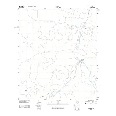
2022 Hill Ranch
Kimble County, TX
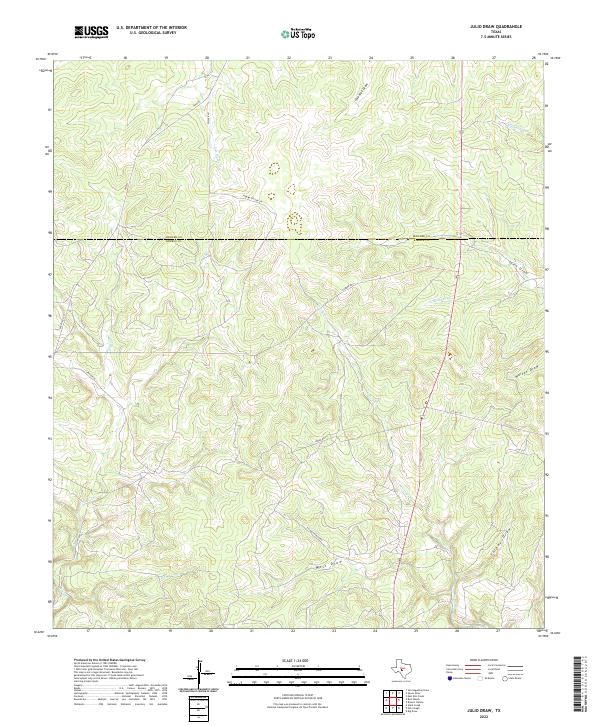
2022 Julio Draw
Kimble County, TX
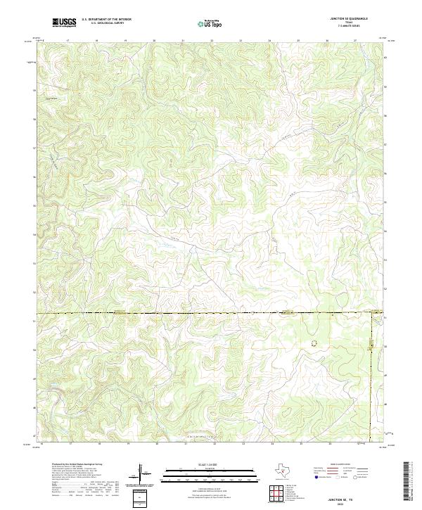
2022 Junction SE
Kimble County, TX
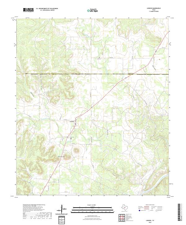
2022 London
Kimble County, TX
2022 McKegan Draw
Kimble County, TX
2022 McKegan Draw NE
Kimble County, TX
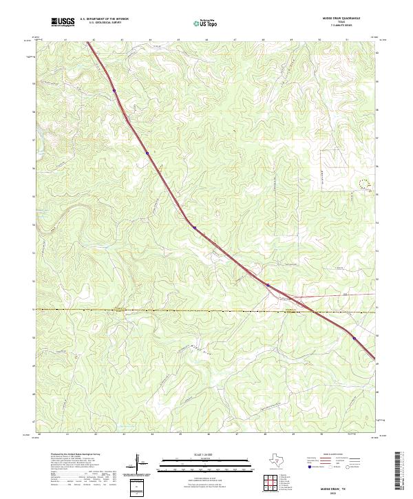
2022 Mudge Draw
Kimble County, TX
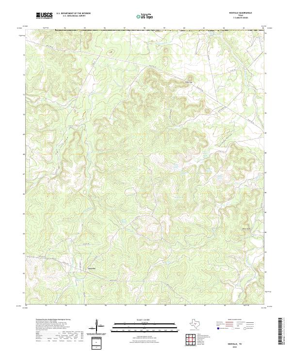
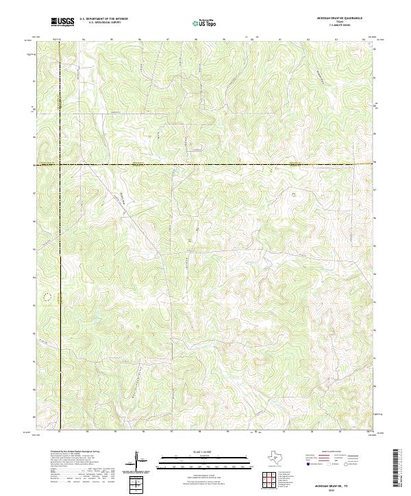
2022 Noxville
Kimble County, TX
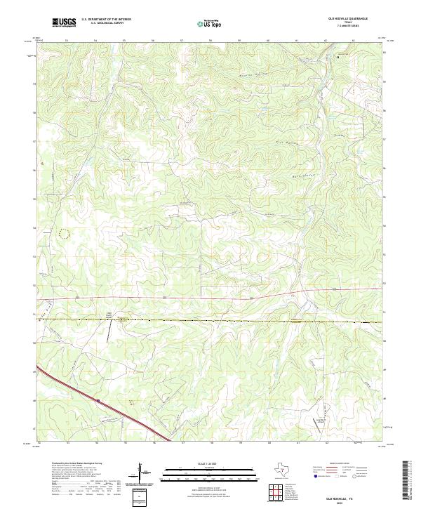
2022 Old Noxville
Kimble County, TX
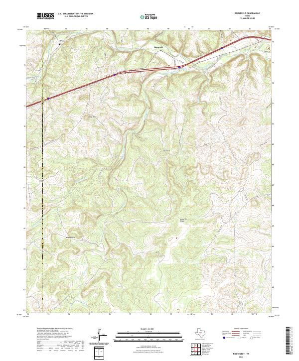
2022 Roosevelt
Kimble County, TX
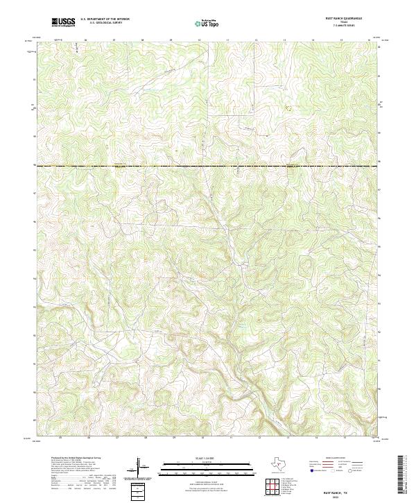
2022 Rust Ranch
Kimble County, TX
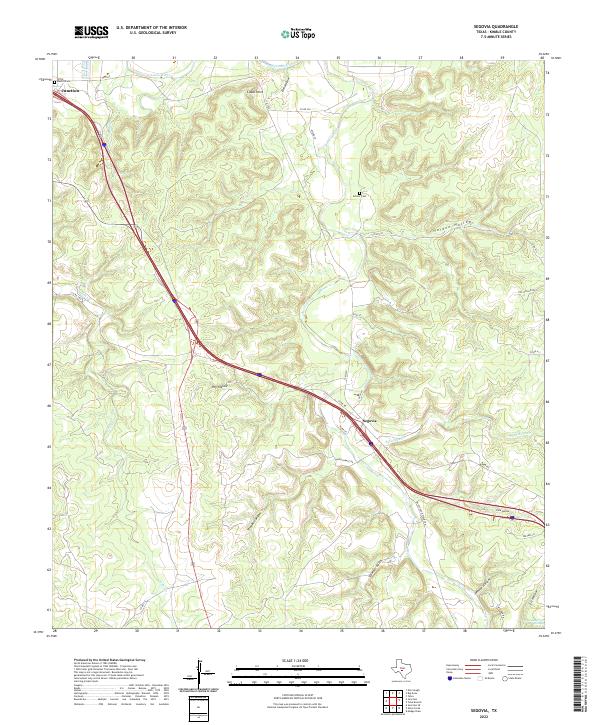
2022 Segovia
Kimble County, TX
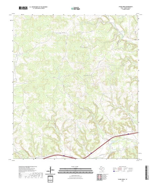
2022 Stark Creek
Kimble County, TX
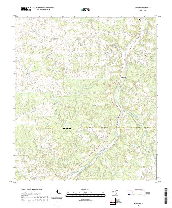
2022 Telegraph
Kimble County, TX
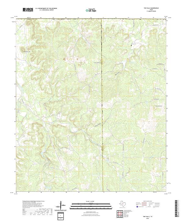
2022 The Falls
Kimble County, TX
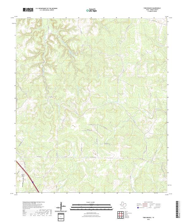
2022 Tobe Branch
Kimble County, TX
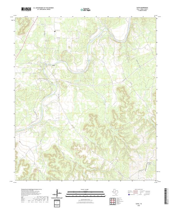
2022 Yates
Kimble County, TX