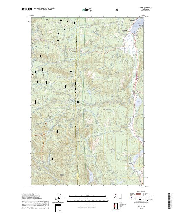
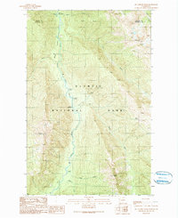
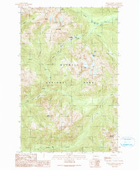
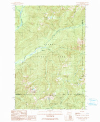
2023 Map of Uncas
USGS Topo · Published 2023About this map
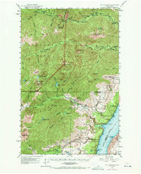
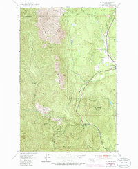
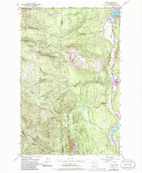
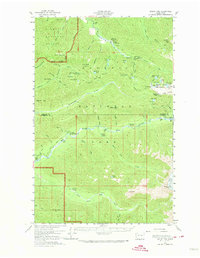
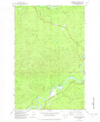
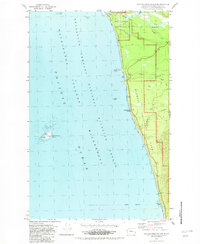
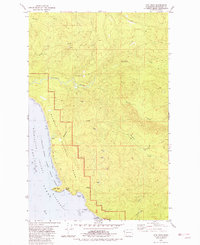
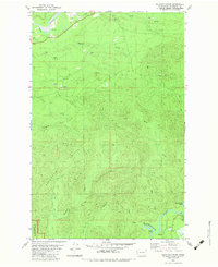
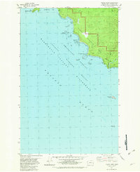
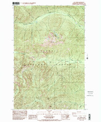
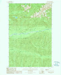
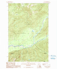
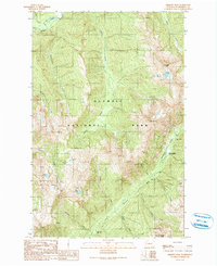
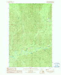
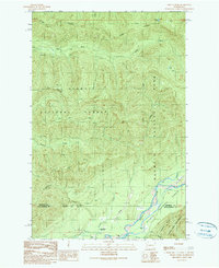
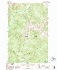
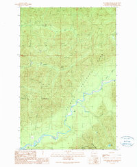
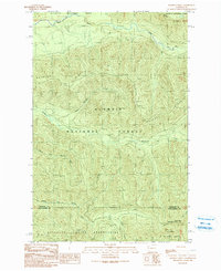
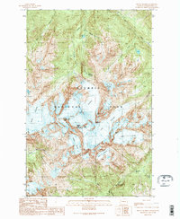
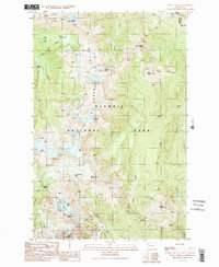
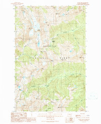
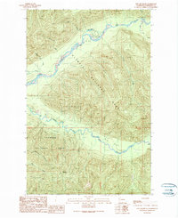
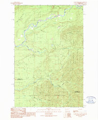
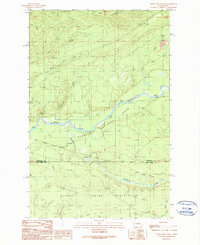
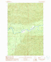
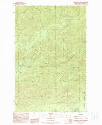
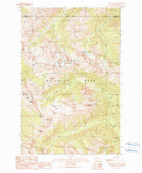
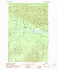
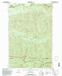
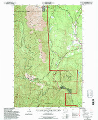
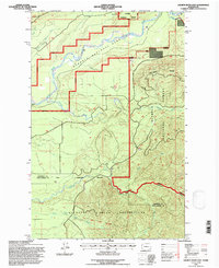
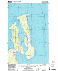
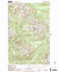
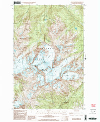
Discovery Bay anchors the northern reaches of this coastal landscape, where the settlements of Discovery Junction and Uncas sit near the water's edge. The terrain transitions from the shoreline into the heavily forested slopes of the Olympic National Forest, punctuated by significant elevations like Big Skidder Hill and Little Skidder Hill. This area is defined by a complex network of forest development roads and trails, including the Pacific Northwest National Scenic Trl, which winds through the high country. In the southern portion of the map, the landscape shifts toward a series of freshwater bodies, including Leland Lake, Crocker Lake, and the high-elevation Lords Lake. These lakes are connected by a web of drainages such as Snow Creek, Cedar Creek, and the Little Quilcene River, illustrating the watershed patterns that sustain the peninsula's ecosystem and its scattered communities like Leland.
Find a feature on this map
56 named features on this map. Tap any name to fly to it.
Don’t see what you’re looking for? This feature index may not catch every label — zoom into the map to look around manually.
Map Details
Editions of this 2023 Uncas Map
This is the sole edition of this map. No revisions or reprints were ever made.
Historical Maps of Uncas Through Time
108 maps found

1935 Mount Olympus
Jefferson County, WA
1938 Mt Constance
Jefferson County, WA

1939 Mount Tom
Jefferson County, WA

1942 Mount Olympus
Jefferson County, WA

1943 Spruce Mountain
Jefferson County, WA
1947 Mt Christie
Jefferson County, WA
1947 Mt. Steel
Jefferson County, WA
1947 The Brothers
Jefferson County, WA
1950 Mt Christie
Jefferson County, WA
1950 Mt. Steel
Jefferson County, WA

1950 The Brothers
Jefferson County, WA
1953 Center
Jefferson County, WA
1953 Mt. Walker
Jefferson County, WA
1953 Nordland
Jefferson County, WA
1953 Port Townsend North
Jefferson County, WA
1953 Port Townsend South
Jefferson County, WA
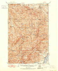
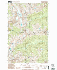
1953 Uncas
Jefferson County, WA
1956 Destruction Island
Jefferson County, WA
1956 Kloochman Rock
Jefferson County, WA
1956 Mount Olympus
Jefferson County, WA
1956 Mount Tom
Jefferson County, WA
1956 Salmon River
Jefferson County, WA
1956 Spruce Mtn.
Jefferson County, WA
1957 Mount Tom
Jefferson County, WA
1982 Anderson Creek
Jefferson County, WA
1982 Destruction Island
Jefferson County, WA
1982 Hoh Head
Jefferson County, WA
1982 Kalaloch Ridge
Jefferson County, WA
1982 Toleak Point
Jefferson County, WA
1985 Mt Jupiter
Jefferson County, WA
1985 The Brothers
Jefferson County, WA

1988 Mount Olympus
Jefferson County, WA
1989 Mount Christie
Jefferson County, WA
1990 Bob Creek
Jefferson County, WA
1990 Bunch Lake
Jefferson County, WA
1990 Chimney Peak
Jefferson County, WA
1990 Christmas Creek
Jefferson County, WA
1990 Finley Creek
Jefferson County, WA
1990 Kimta Peak
Jefferson County, WA
1990 Kloochman Rock
Jefferson County, WA
1990 Matheny Ridge
Jefferson County, WA
1990 Mc Cartney Peak
Jefferson County, WA
1990 Mount Christie
Jefferson County, WA

1990 Mount Deception
Jefferson County, WA
1990 Mount Hoquiam
Jefferson County, WA
1990 Mount Olympus
Jefferson County, WA
1990 Mount Queets
Jefferson County, WA
1990 Mount Steel
Jefferson County, WA
1990 Mount Tom
Jefferson County, WA
1990 Mount Townsend
Jefferson County, WA
1990 Owl Mountain
Jefferson County, WA
1990 Salmon River East
Jefferson County, WA
1990 Salmon River West
Jefferson County, WA
1990 Spruce Mountain
Jefferson County, WA
1990 Stequaleho Creek
Jefferson County, WA
1990 Wellesley Peak
Jefferson County, WA
1990 Winfield Creek
Jefferson County, WA
1995 Matheny Ridge
Jefferson County, WA
1995 Mount Walker
Jefferson County, WA
1995 Salmon River East
Jefferson County, WA
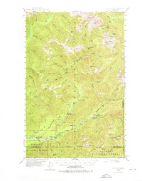
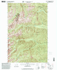
1995 Uncas
Jefferson County, WA
1997 Center
Jefferson County, WA
1998 Nordland
Jefferson County, WA
1999 Mount Christie
Jefferson County, WA
1999 Mount Hoquiam
Jefferson County, WA
1999 Mount Olympus
Jefferson County, WA
1999 Mount Steel
Jefferson County, WA
1999 Mount Townsend
Jefferson County, WA
1999 Wellesley Peak
Jefferson County, WA
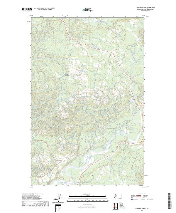
2023 Anderson Creek
Jefferson County, WA
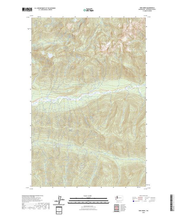
2023 Bob Creek
Jefferson County, WA
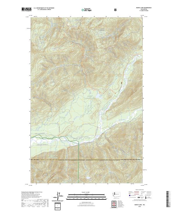
2023 Bunch Lake
Jefferson County, WA
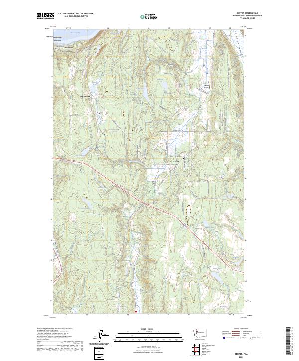
2023 Center
Jefferson County, WA
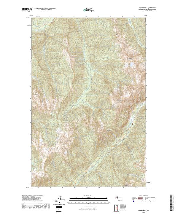
2023 Chimney Peak
Jefferson County, WA
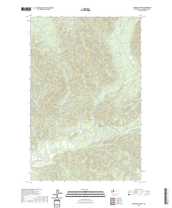
2023 Christmas Creek
Jefferson County, WA
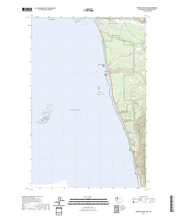
2023 Destruction Island
Jefferson County, WA
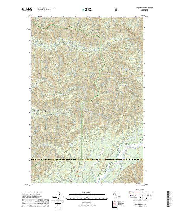
2023 Finley Creek
Jefferson County, WA
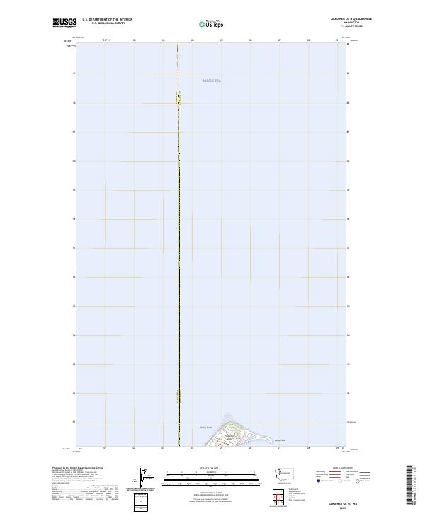
2023 Gardiner OE N
Jefferson County, WA
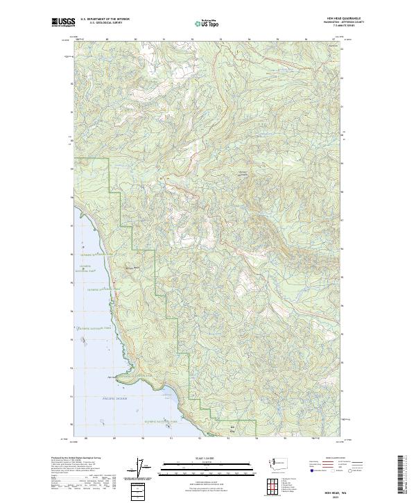
2023 Hoh Head
Jefferson County, WA
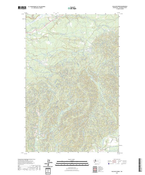
2023 Kalaloch Ridge
Jefferson County, WA
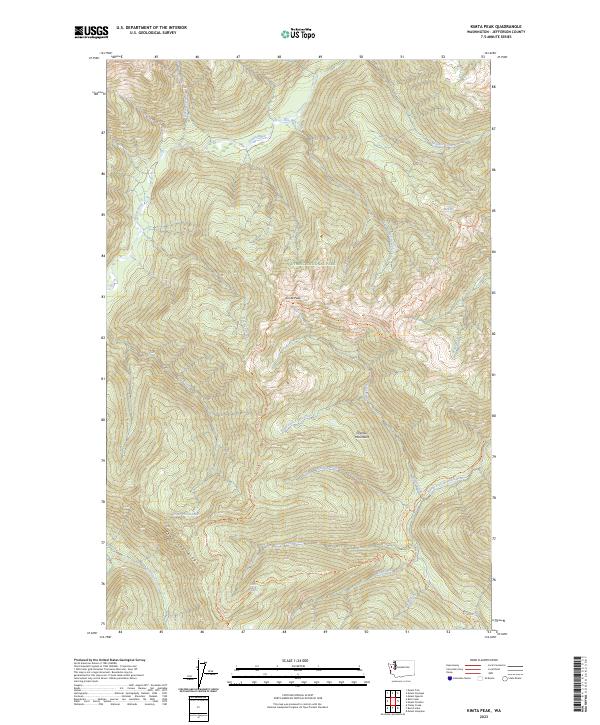
2023 Kimta Peak
Jefferson County, WA
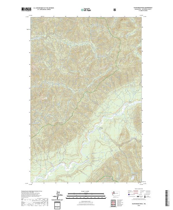
2023 Kloochman Rock
Jefferson County, WA
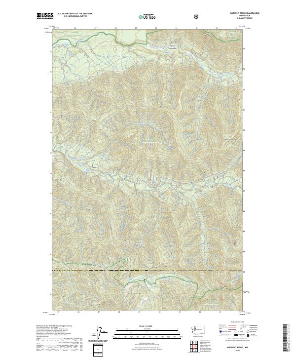
2023 Matheny Ridge
Jefferson County, WA
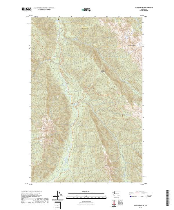
2023 McCartney Peak
Jefferson County, WA
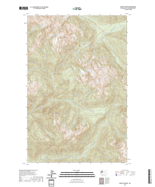
2023 Mount Christie
Jefferson County, WA
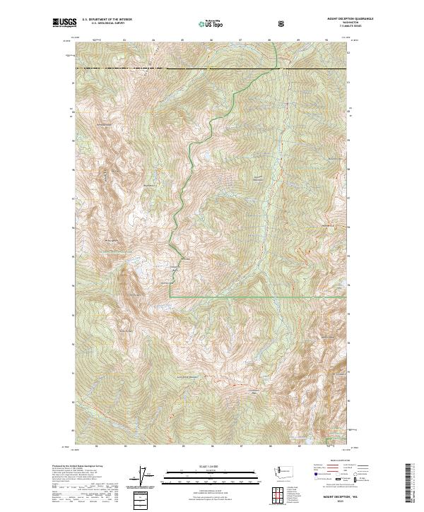
2023 Mount Deception
Jefferson County, WA
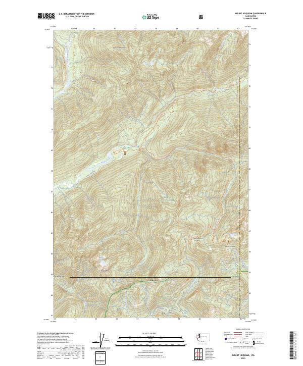
2023 Mount Hoquiam
Jefferson County, WA
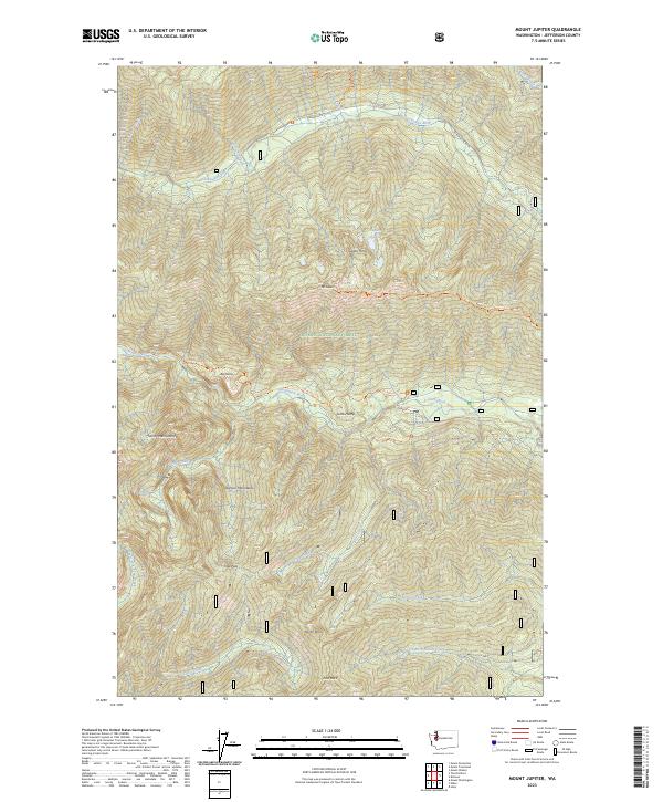
2023 Mount Jupiter
Jefferson County, WA
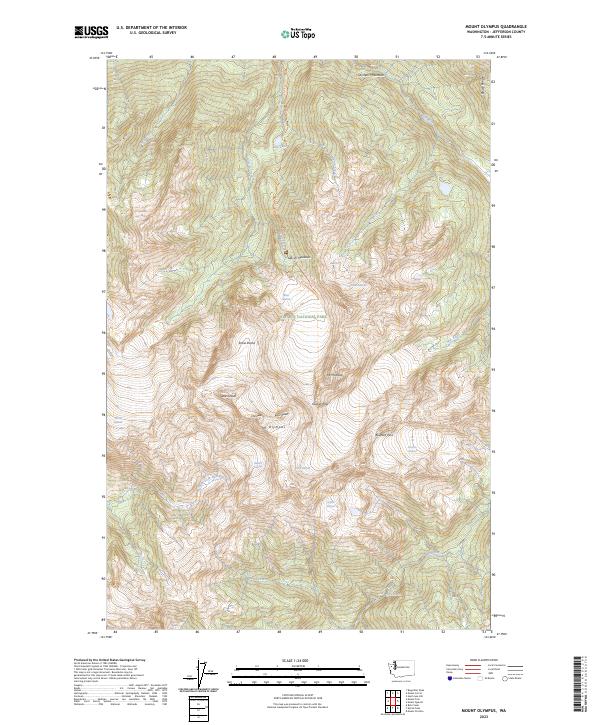
2023 Mount Olympus
Jefferson County, WA
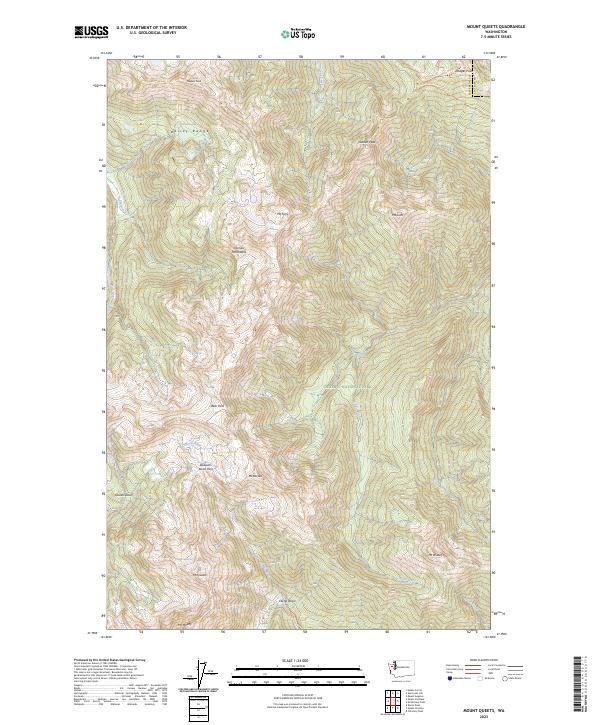
2023 Mount Queets
Jefferson County, WA
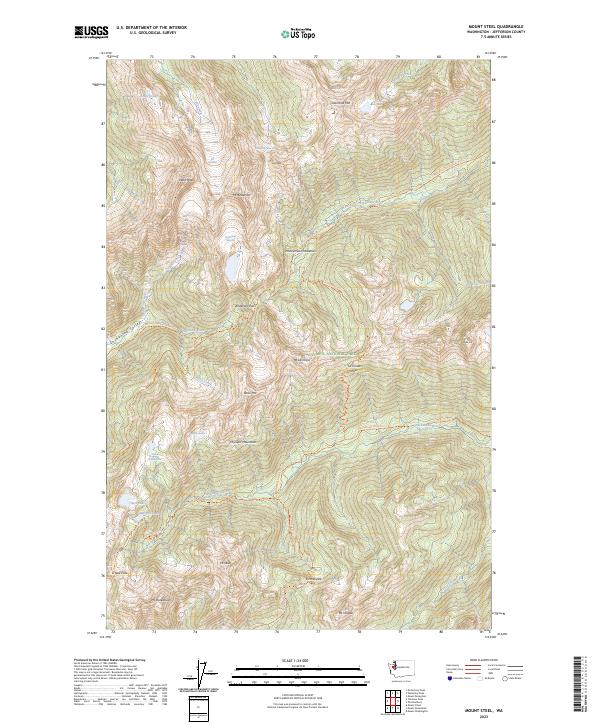
2023 Mount Steel
Jefferson County, WA
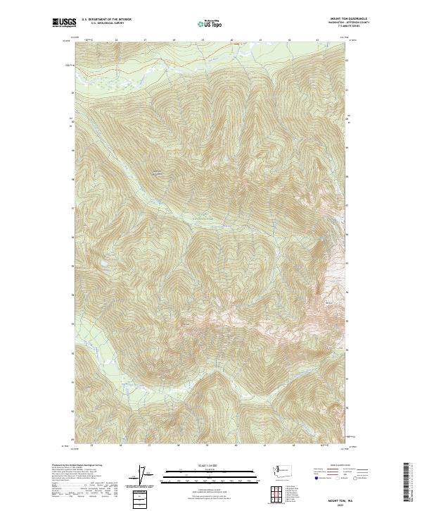
2023 Mount Tom
Jefferson County, WA
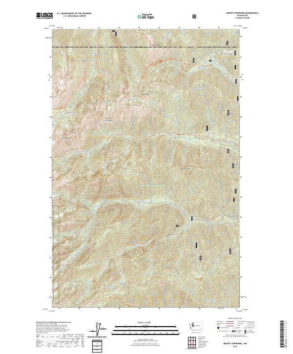
2023 Mount Townsend
Jefferson County, WA
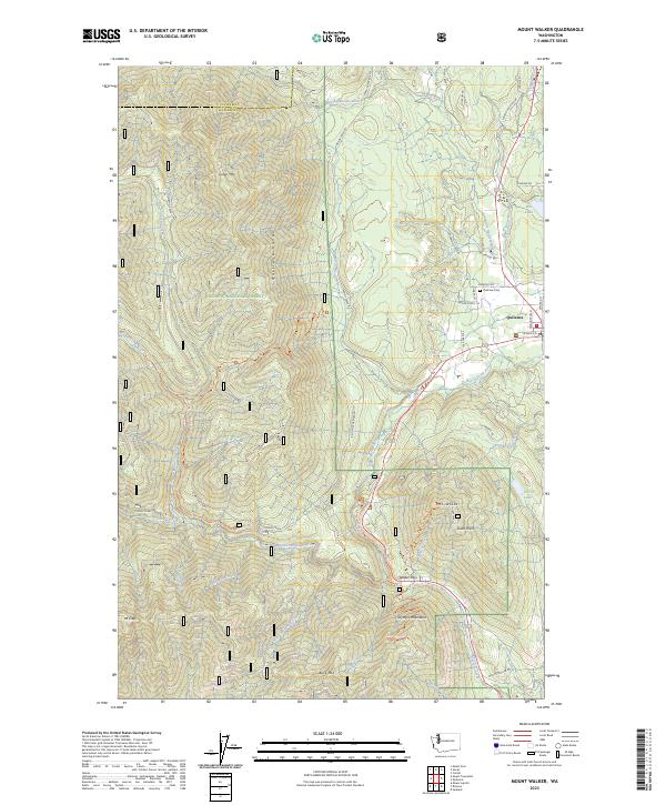
2023 Mount Walker
Jefferson County, WA
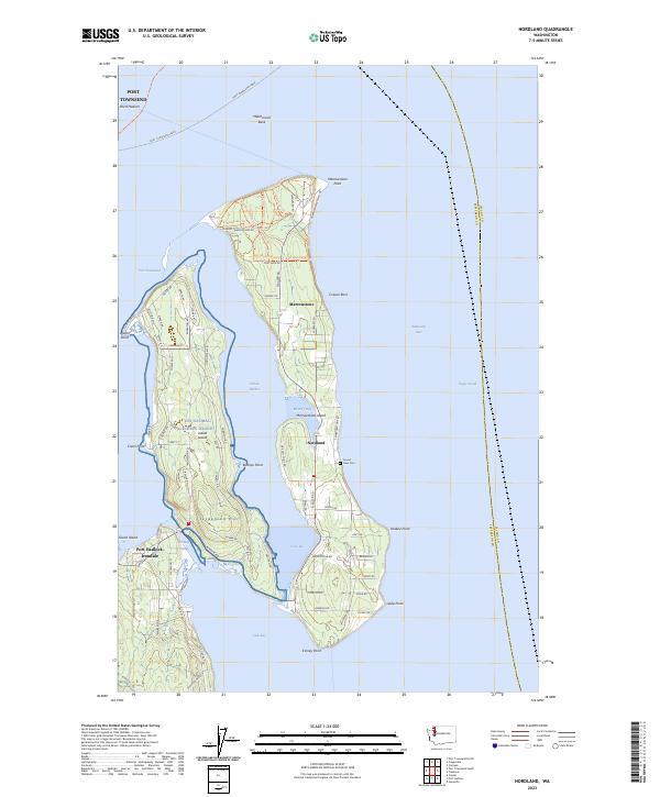
2023 Nordland
Jefferson County, WA
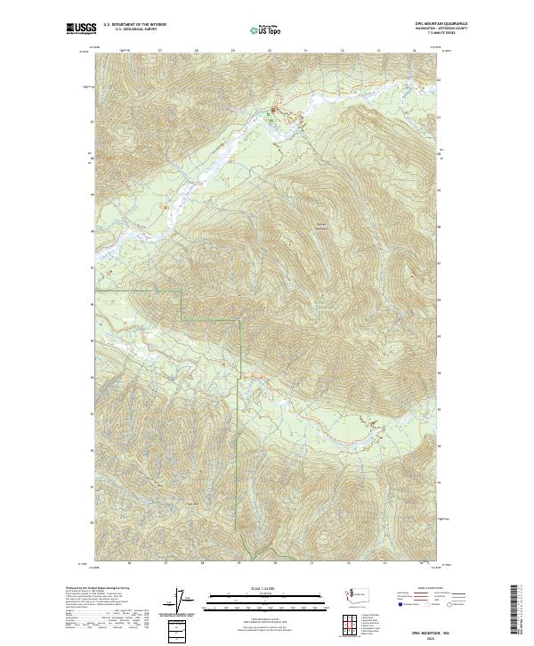
2023 Owl Mountain
Jefferson County, WA
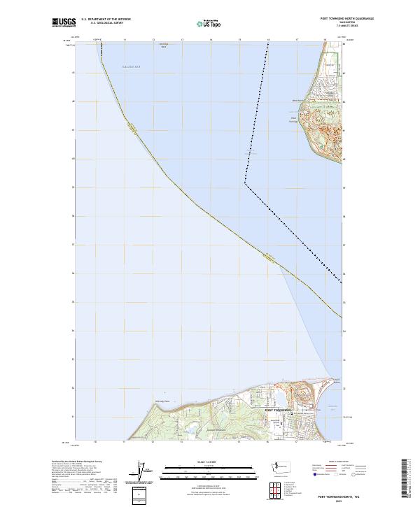
2023 Port Townsend North
Jefferson County, WA
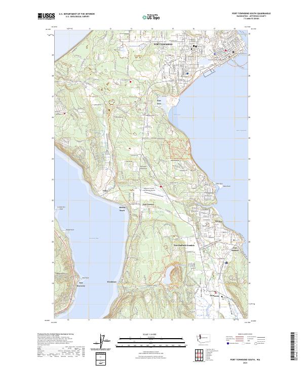
2023 Port Townsend South
Jefferson County, WA
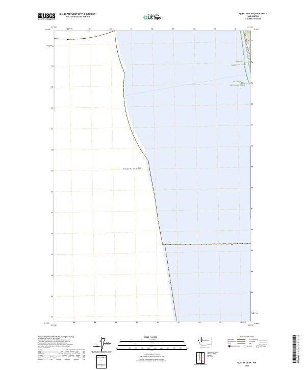
2023 Queets OE W
Jefferson County, WA
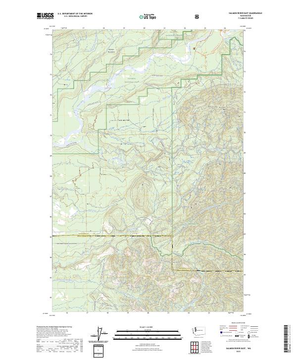
2023 Salmon River East
Jefferson County, WA
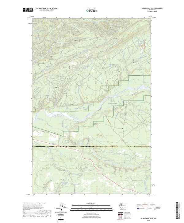
2023 Salmon River West
Jefferson County, WA

2023 Spruce Mountain
Jefferson County, WA
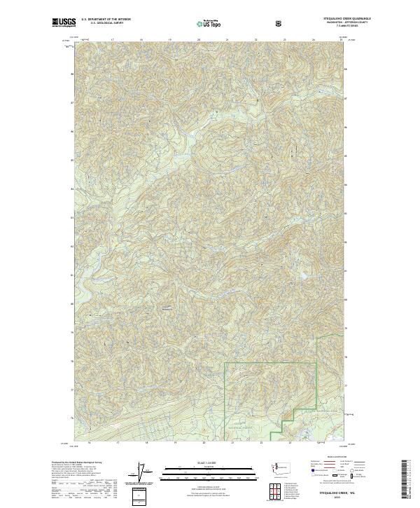
2023 Stequaleho Creek
Jefferson County, WA
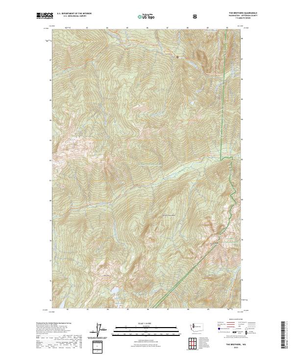
2023 The Brothers
Jefferson County, WA
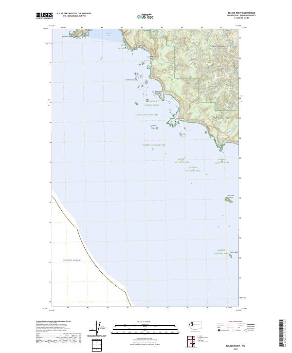
2023 Toleak Point
Jefferson County, WA
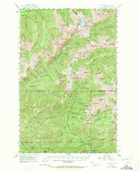
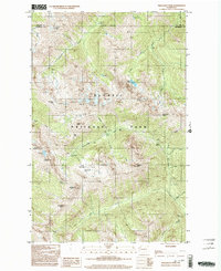
2023 Uncas
Jefferson County, WA
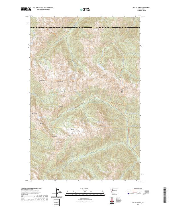
2023 Wellesley Peak
Jefferson County, WA
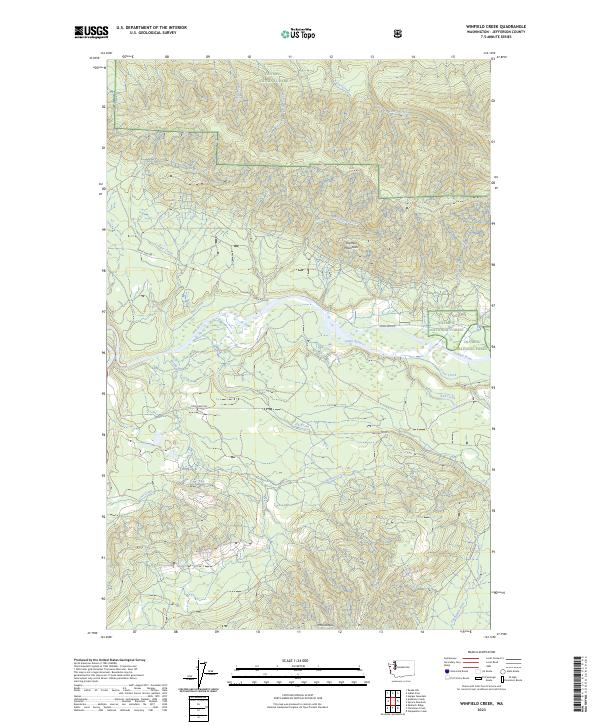
2023 Winfield Creek
Jefferson County, WA