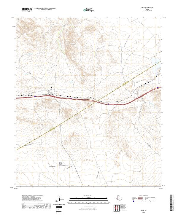
2022 Map of Kent
USGS Topo · Published 2022About this map
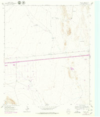
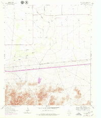
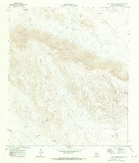
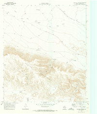
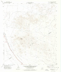
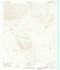
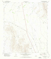
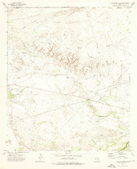
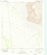
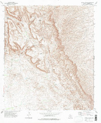
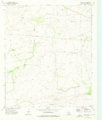
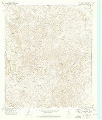
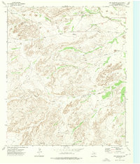
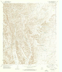
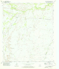
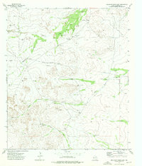
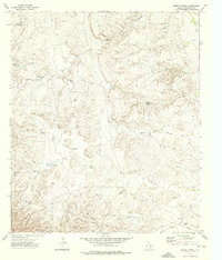
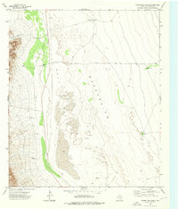
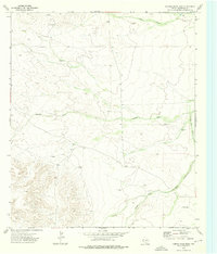
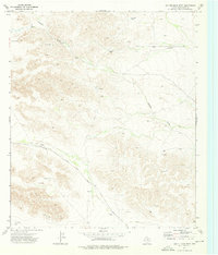
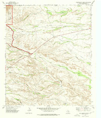
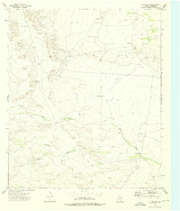
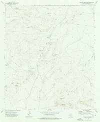
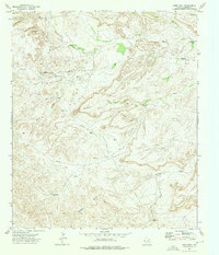
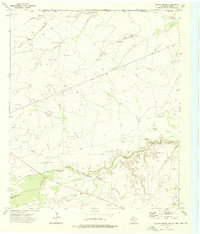
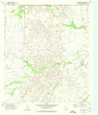
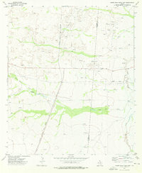
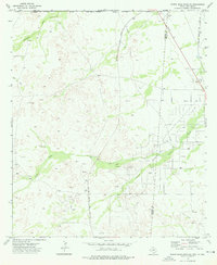
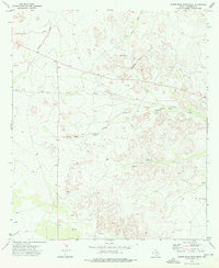
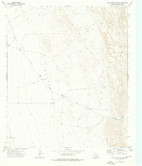
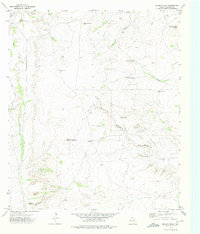
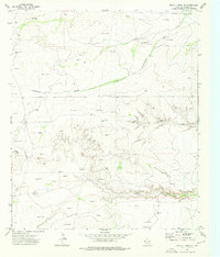
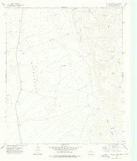
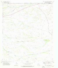
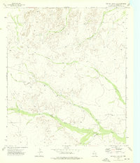
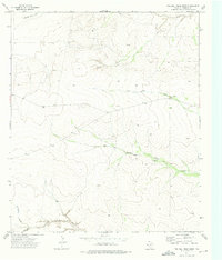
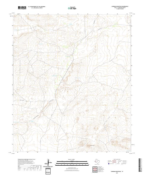
Kent sits at a crossroads of high-desert geography and infrastructure where the boundaries of Culberson County and Jeff Davis County meet. This West Texas landscape is defined by its drainage systems and water management, featuring numerous named washes such as Kent Draw, Iron Mountain Draw, and Adobe Draw. Higher elevations are marked by the Apache Mountains to the north and Kent Mtn to the south, while the small settlement of Kent is anchored by the Kent Cemetery. The presence of Rancho Del Cielo Airport and a network of ranch roads including Nelson Letsco Ranch Rd and Kent Rd indicate the region's continued focus on large-scale landholdings. Notable water features like Tidwell Tank, In and Out Tank, and Levinson Reservoir highlight the critical role of water catchment in this arid environment.
Find a feature on this map
27 named features on this map. Tap any name to fly to it.
Don’t see what you’re looking for? This feature index may not catch every label — zoom into the map to look around manually.
Map Details
Editions of this 2022 Kent Map
This is the sole edition of this map. No revisions or reprints were ever made.
Historical Maps of Kent Through Time
119 maps found

1892 Chispa
Culberson County, TX

1895 Chispa
Culberson County, TX
1897 Chispa
Culberson County, TX

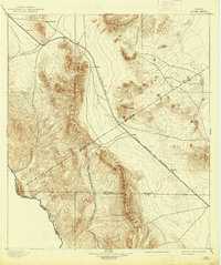
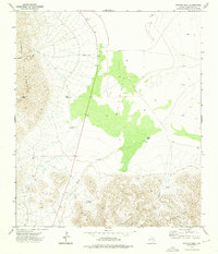
1928 Kent
Culberson County, TX
1933 Guadalupe Peak
Culberson County, TX

1940 Guadalupe Peak
Culberson County, TX

1964 Goat Canyon
Culberson County, TX
1964 Nutt Ranch
Culberson County, TX
1964 Plateau
Culberson County, TX

1964 Watson Ranch
Culberson County, TX
1964 Wild Horse
Culberson County, TX

1970 Boracho
Culberson County, TX
1970 East Hunter Canyon
Culberson County, TX

1970 Fencepost Draw
Culberson County, TX

1970 Iron Mountain
Culberson County, TX

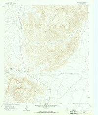
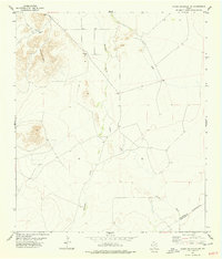
1970 Kent
Culberson County, TX
1970 Panther Canyon
Culberson County, TX
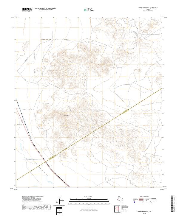
1972 Chispa Mountain
Culberson County, TX
1972 Chispa Mountain NW
Culberson County, TX

1972 Lobo
Culberson County, TX

1972 Seven Heart Gap
Culberson County, TX

1972 Square Mesa
Culberson County, TX
1972 Van Horn Wells
Culberson County, TX
1973 Alligator Draw
Culberson County, TX
1973 Bitter Well Mountain
Culberson County, TX
1973 Burro Canyon
Culberson County, TX
1973 Castile Hill
Culberson County, TX
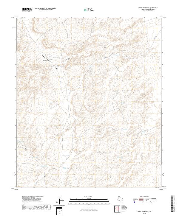
1973 Chico Draw East
Culberson County, TX
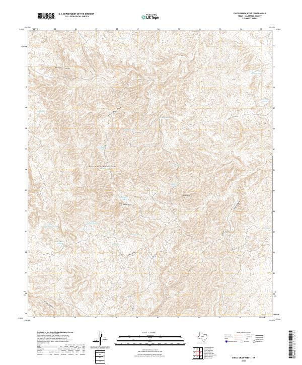
1973 Chico Draw West
Culberson County, TX
1973 Cow Mountain
Culberson County, TX
1973 Delaware Ranch
Culberson County, TX
1973 Delaware Spring
Culberson County, TX
1973 Dellahunt Draw East
Culberson County, TX
1973 Dellahunt Draw West
Culberson County, TX
1973 Derrick Draw
Culberson County, TX
1973 Dome Hill
Culberson County, TX
1973 Emory Corral
Culberson County, TX
1973 Figure Two Ranch
Culberson County, TX

1973 Guadalupe Pass
Culberson County, TX

1973 Guadalupe Peak
Culberson County, TX
1973 Hopper Draw East
Culberson County, TX
1973 Hopper Draw West
Culberson County, TX
1973 Independence Spring
Culberson County, TX
1973 K C Ranch
Culberson County, TX
1973 Loneman Mountain
Culberson County, TX
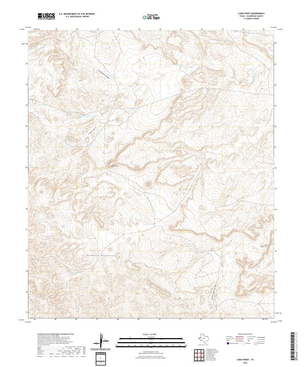
1973 Long Point
Culberson County, TX
1973 Outlaw Spring
Culberson County, TX

1973 Owl Hills
Culberson County, TX
1973 Rustler Hills
Culberson County, TX
1973 Screw Bean Draw East
Culberson County, TX
1973 Screw Bean Draw NE
Culberson County, TX
1973 Screw Bean Draw West
Culberson County, TX
1973 Seven Heart Gap NW
Culberson County, TX
1973 Seven L Peak
Culberson County, TX
1973 Seven L Peak NE
Culberson County, TX
1973 Six Bar Ranch
Culberson County, TX
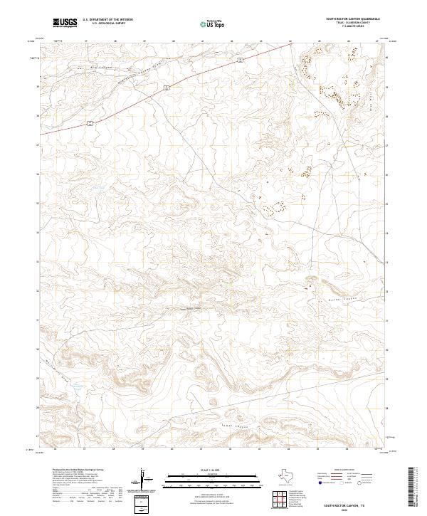
1973 South Rector Canyon
Culberson County, TX
1973 Two Mill Draw East
Culberson County, TX
1973 Two Mill Draw West
Culberson County, TX
1973 Victorio Peak
Culberson County, TX
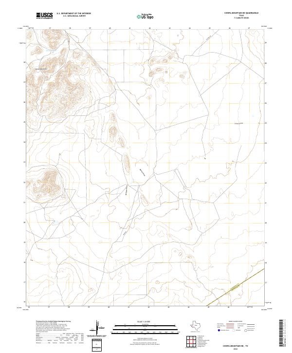
1978 Chispa Mountain NE
Culberson County, TX

1985 Guadalupe Peak
Culberson County, TX

1993 Guadalupe Peak
Culberson County, TX
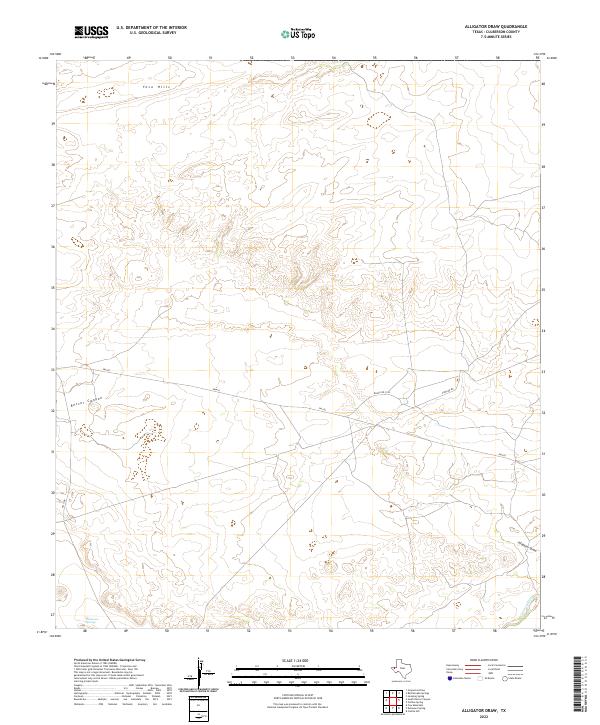
2022 Alligator Draw
Culberson County, TX
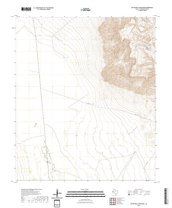
2022 Bitter Well Mountain
Culberson County, TX
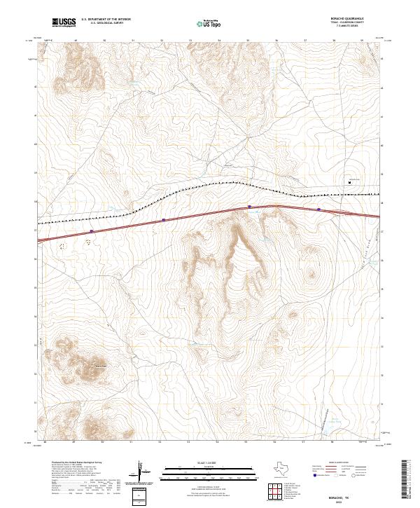
2022 Boracho
Culberson County, TX
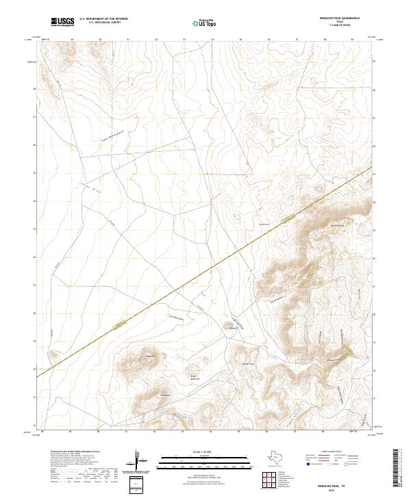
2022 Boracho Peak
Culberson County, TX
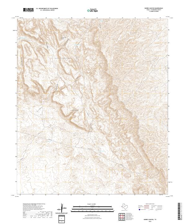
2022 Burro Canyon
Culberson County, TX
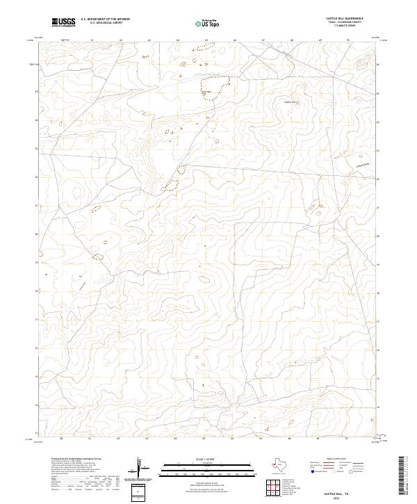
2022 Castile Hill
Culberson County, TX
2022 Chico Draw East
Culberson County, TX
2022 Chico Draw West
Culberson County, TX
2022 Chispa Mountain
Culberson County, TX
2022 Chispa Mountain NE
Culberson County, TX
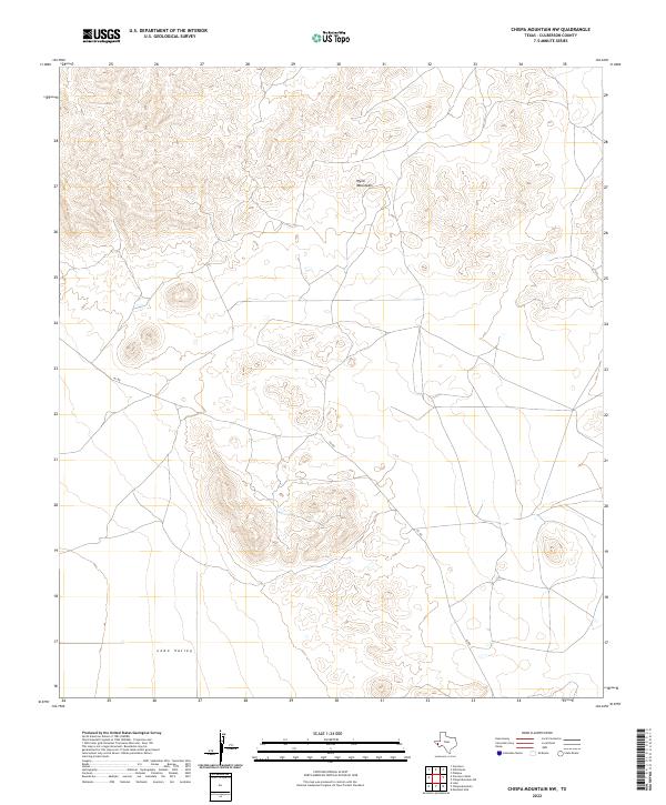
2022 Chispa Mountain NW
Culberson County, TX
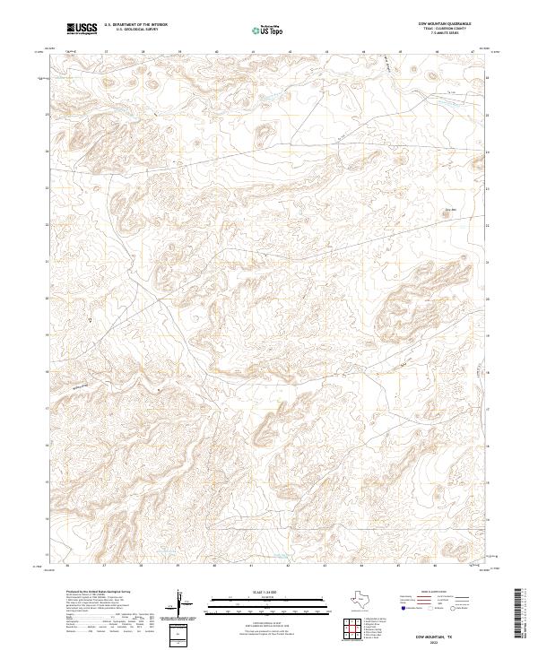
2022 Cow Mountain
Culberson County, TX
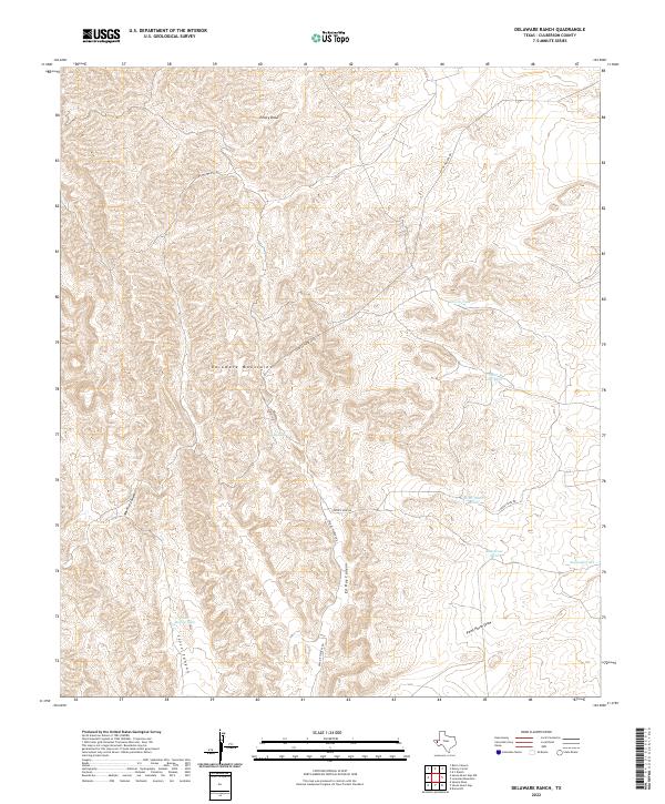
2022 Delaware Ranch
Culberson County, TX
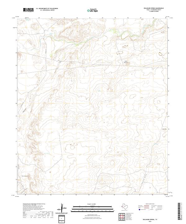
2022 Delaware Spring
Culberson County, TX
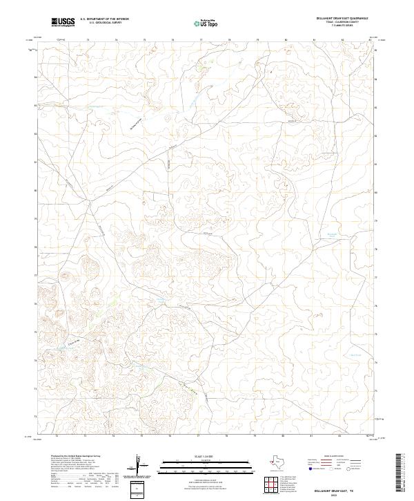
2022 Dellahunt Draw East
Culberson County, TX
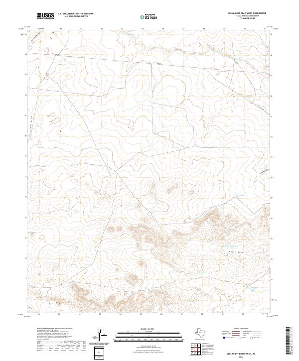
2022 Dellahunt Draw West
Culberson County, TX
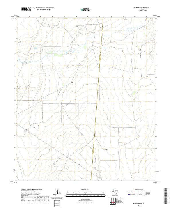
2022 Derrick Draw
Culberson County, TX
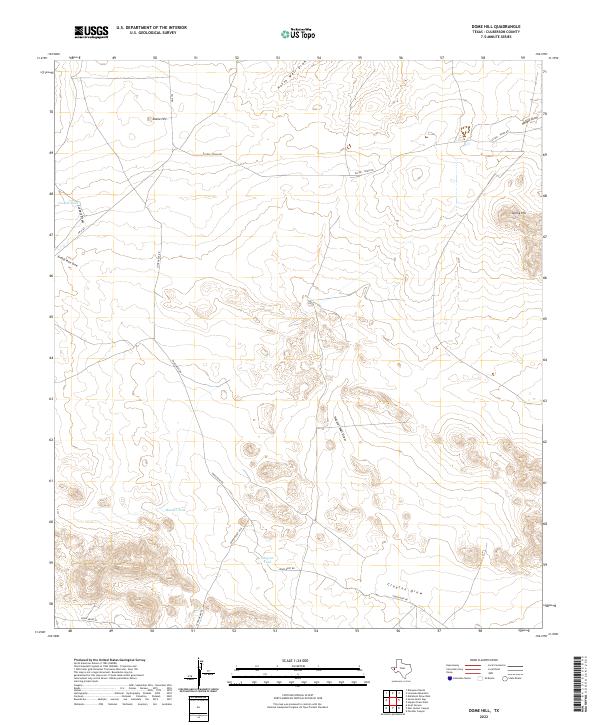
2022 Dome Hill
Culberson County, TX
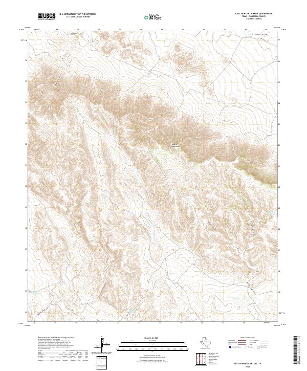
2022 East Hunter Canyon
Culberson County, TX

2022 Emory Corral
Culberson County, TX
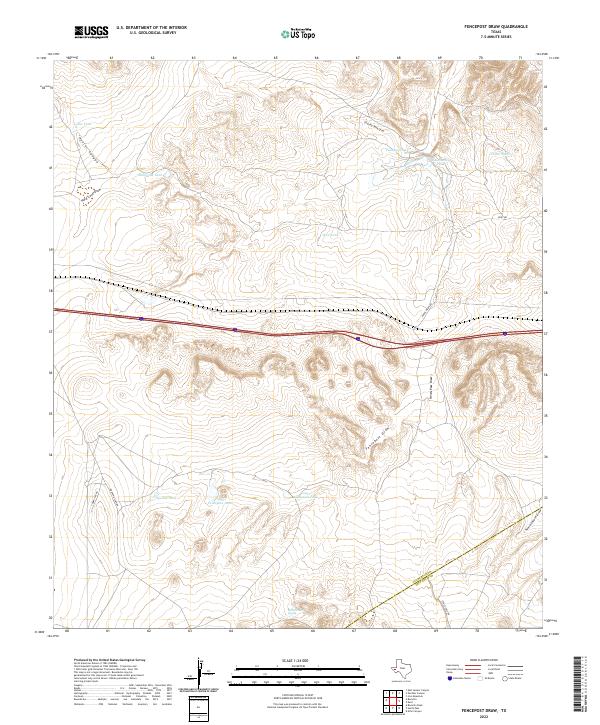
2022 Fencepost Draw
Culberson County, TX
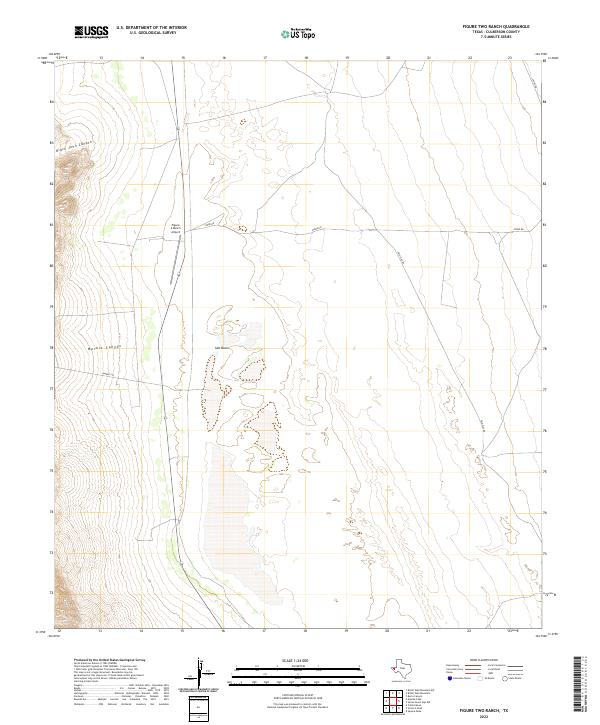
2022 Figure Two Ranch
Culberson County, TX
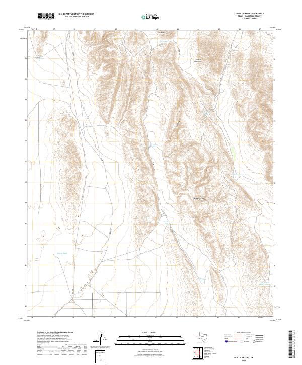
2022 Goat Canyon
Culberson County, TX
2022 Guadalupe Pass
Culberson County, TX
2022 Guadalupe Peak
Culberson County, TX
2022 Hopper Draw East
Culberson County, TX
2022 Hopper Draw West
Culberson County, TX
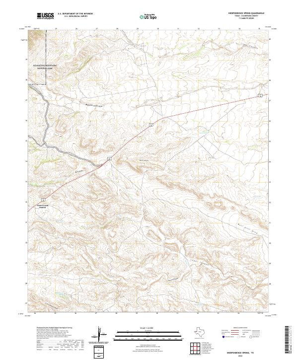
2022 Independence Spring
Culberson County, TX
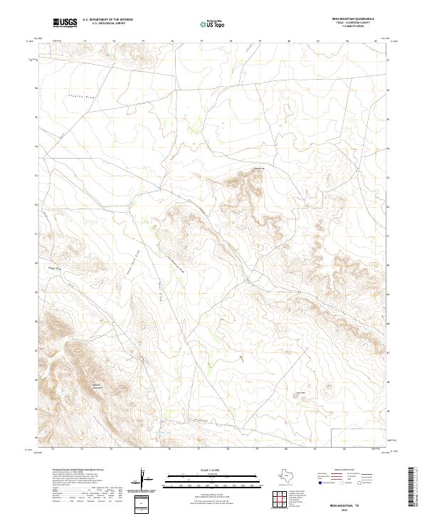
2022 Iron Mountain
Culberson County, TX
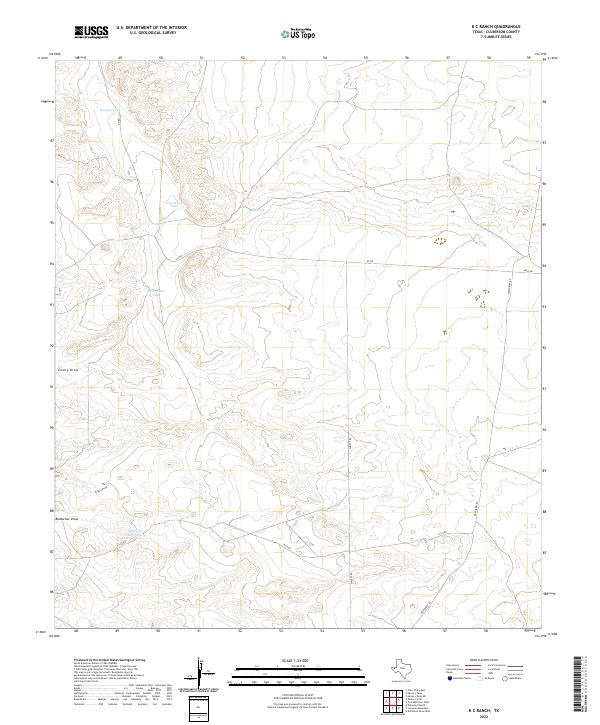
2022 K C Ranch
Culberson County, TX
2022 Kent
Culberson County, TX
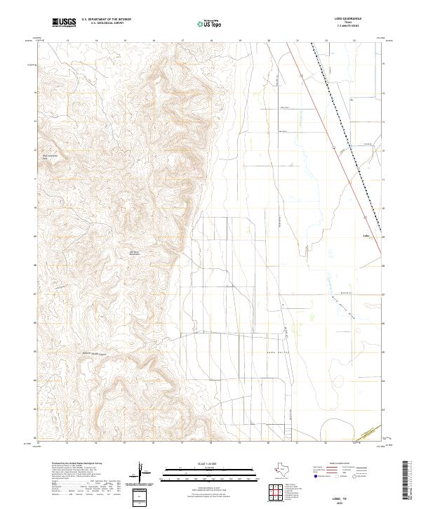
2022 Lobo
Culberson County, TX
2022 Loneman Mountain
Culberson County, TX
2022 Long Point
Culberson County, TX
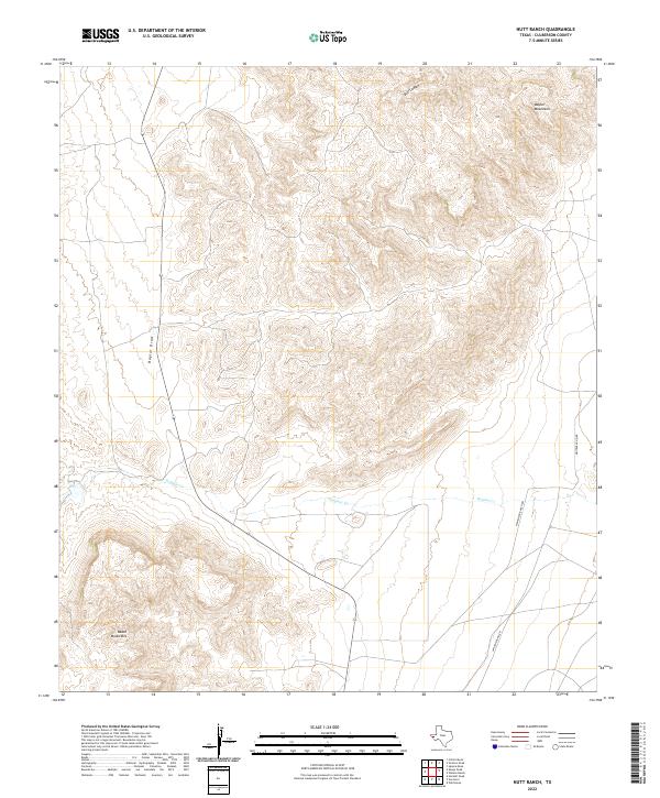
2022 Nutt Ranch
Culberson County, TX
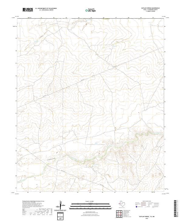
2022 Outlaw Spring
Culberson County, TX
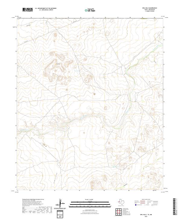
2022 Owl Hills
Culberson County, TX
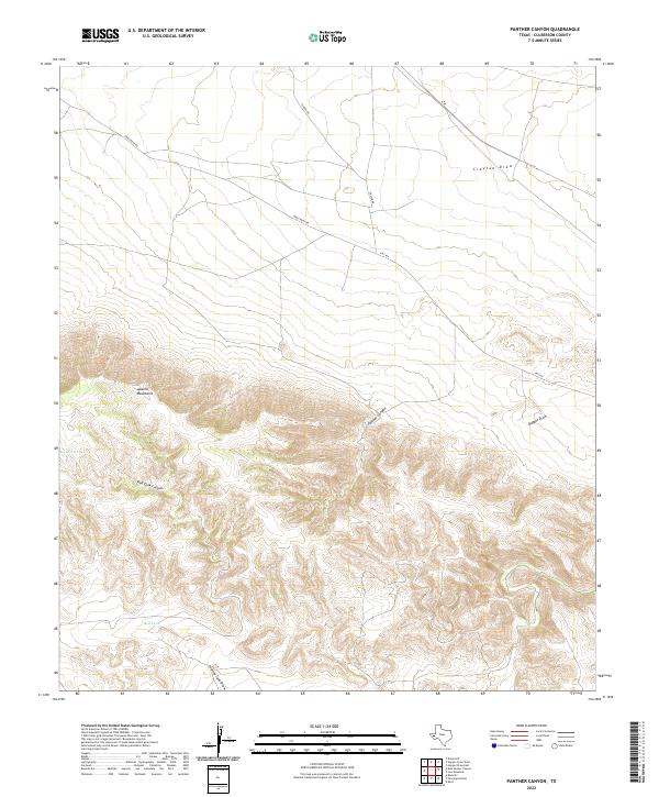
2022 Panther Canyon
Culberson County, TX
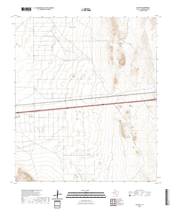
2022 Plateau
Culberson County, TX
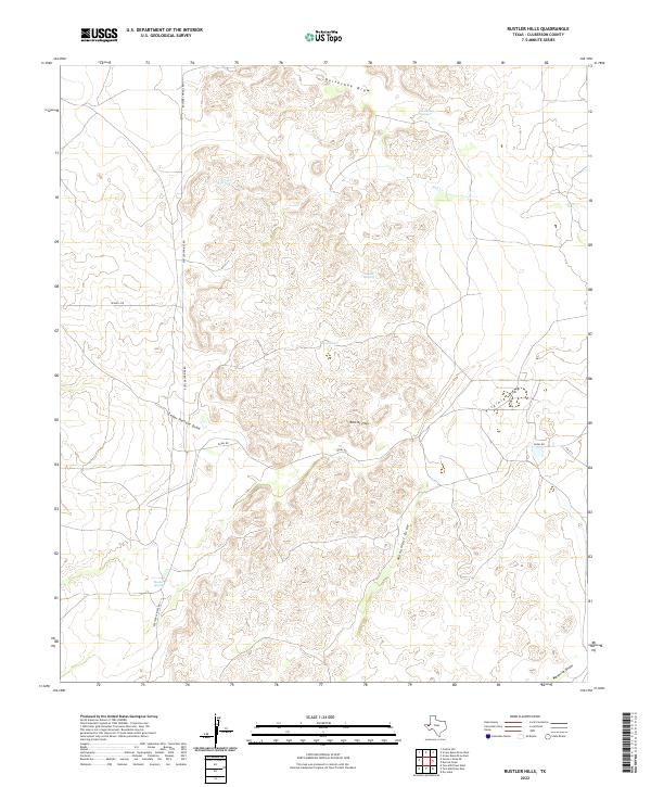
2022 Rustler Hills
Culberson County, TX
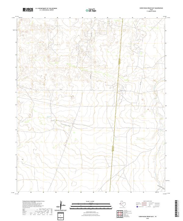
2022 Screw Bean Draw East
Culberson County, TX
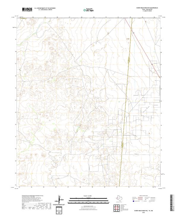
2022 Screw Bean Draw NE
Culberson County, TX
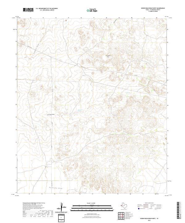
2022 Screw Bean Draw West
Culberson County, TX
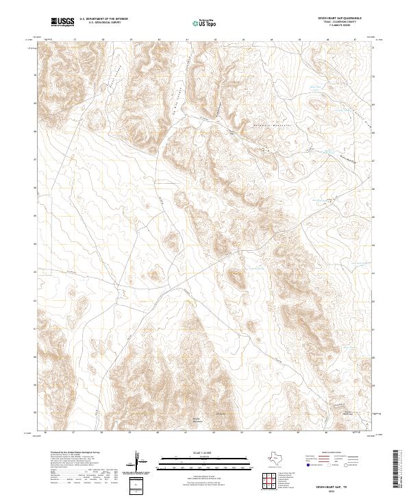
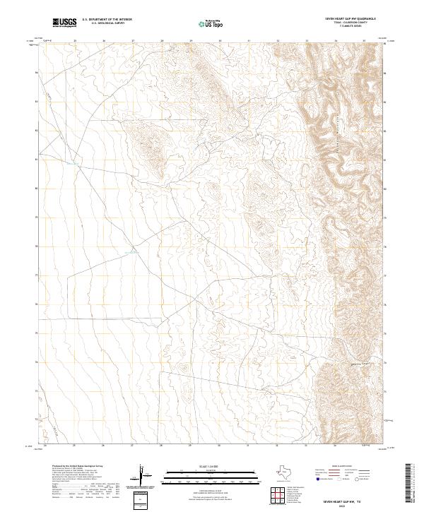
2022 Seven Heart Gap
Culberson County, TX
2022 Seven Heart Gap NW
Culberson County, TX
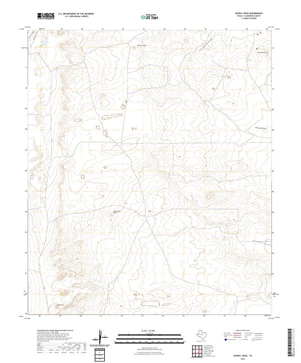
2022 Seven L Peak
Culberson County, TX
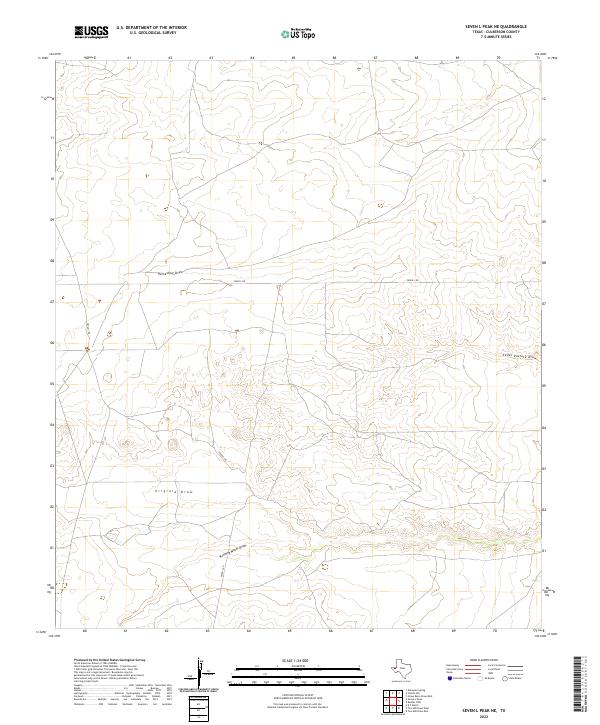
2022 Seven L Peak NE
Culberson County, TX
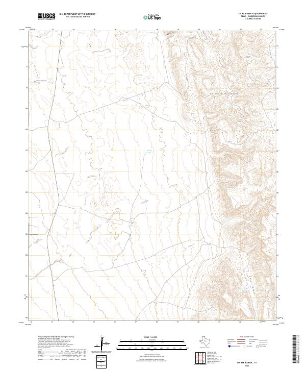
2022 Six Bar Ranch
Culberson County, TX
2022 South Rector Canyon
Culberson County, TX
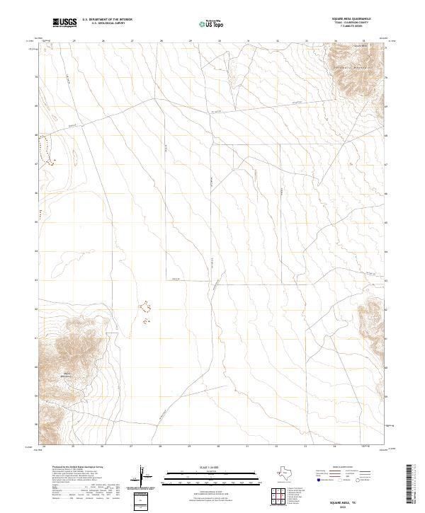
2022 Square Mesa
Culberson County, TX
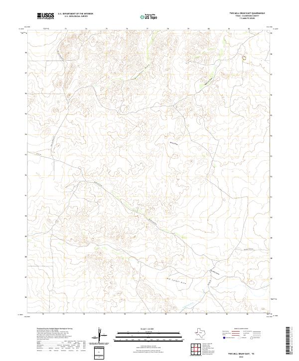
2022 Two Mill Draw East
Culberson County, TX
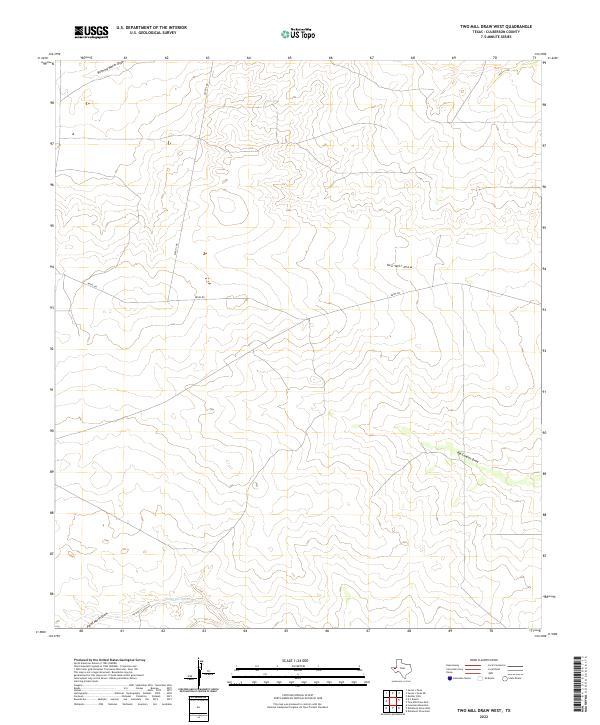
2022 Two Mill Draw West
Culberson County, TX
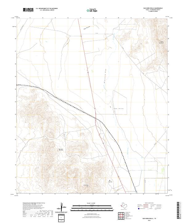
2022 Van Horn Wells
Culberson County, TX
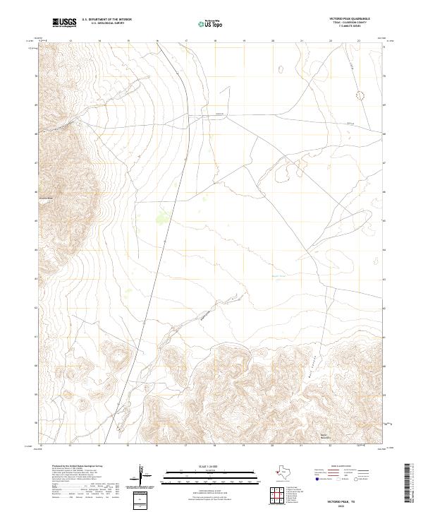
2022 Victorio Peak
Culberson County, TX
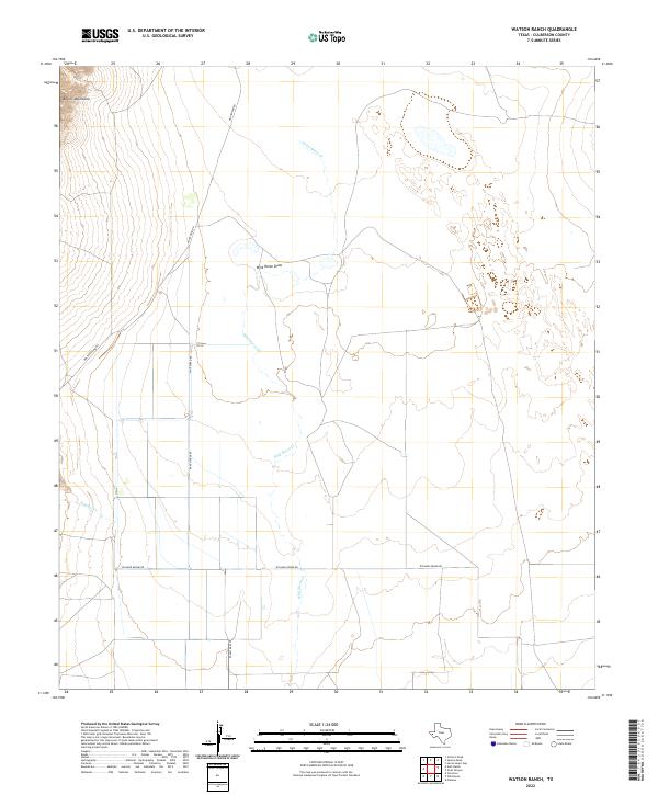
2022 Watson Ranch
Culberson County, TX
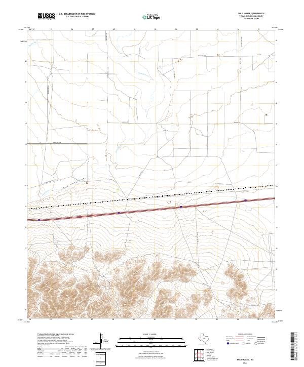
2022 Wild Horse
Culberson County, TX