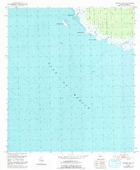
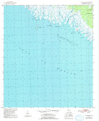
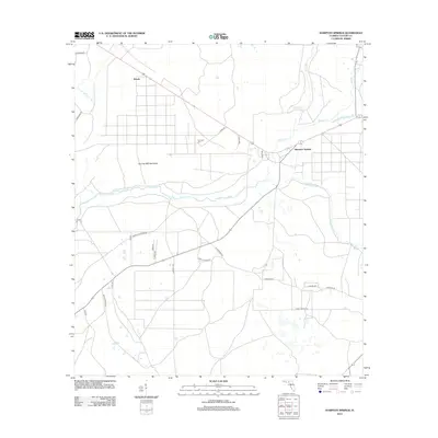
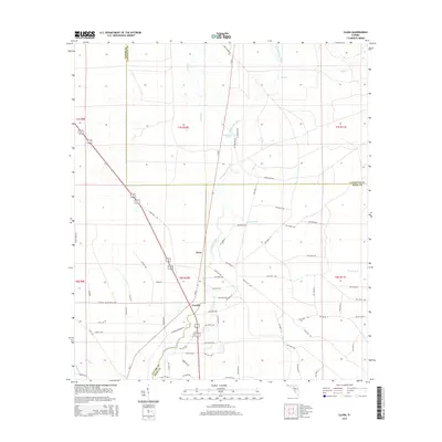
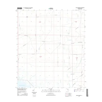
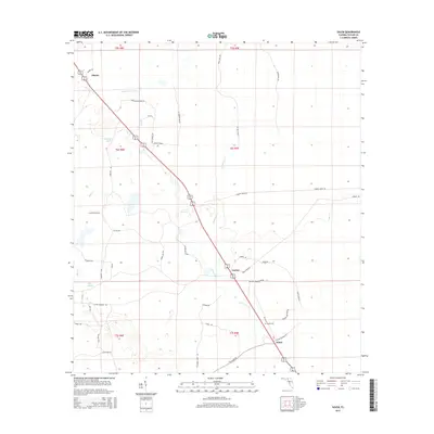
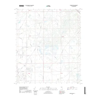
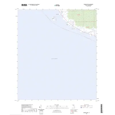
2025 Map of Crooked Point
USGS Topo · Published 2025About this map
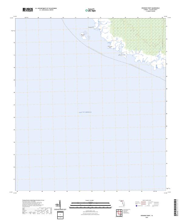
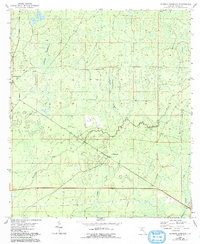
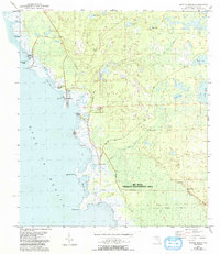
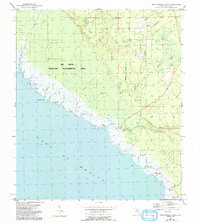
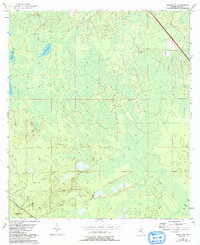
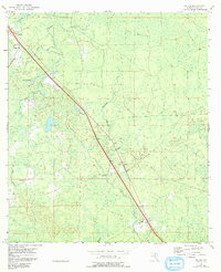
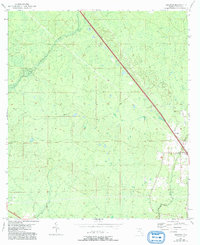
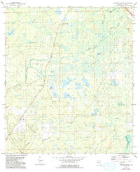
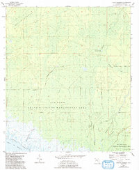
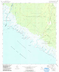
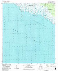
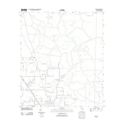
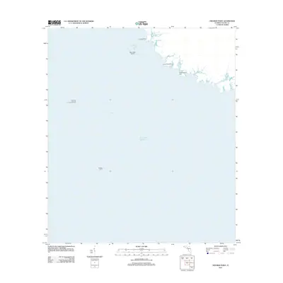
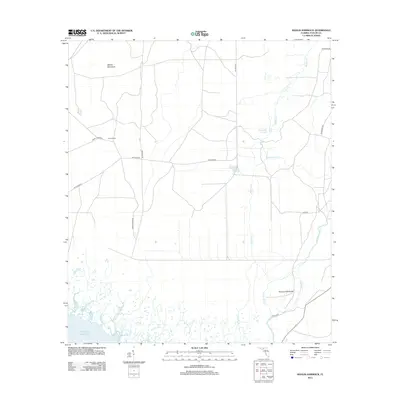
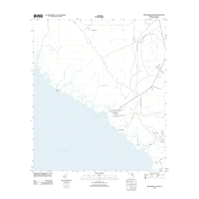
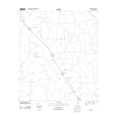
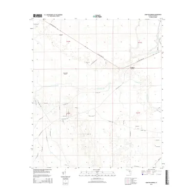
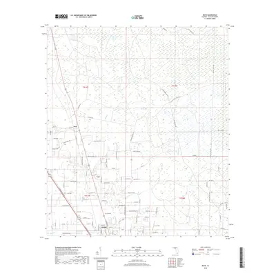
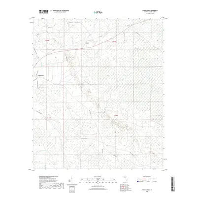
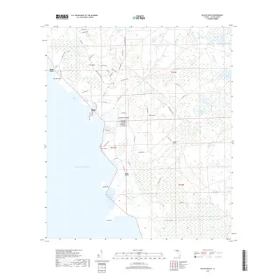
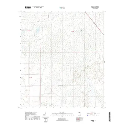
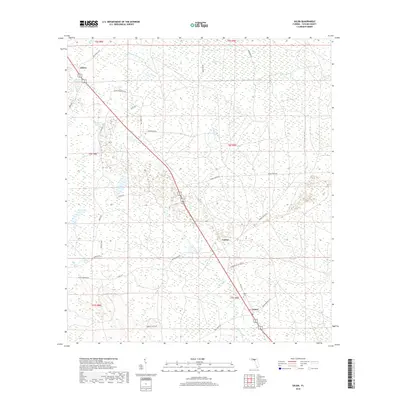
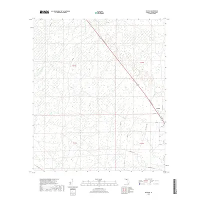
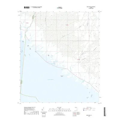
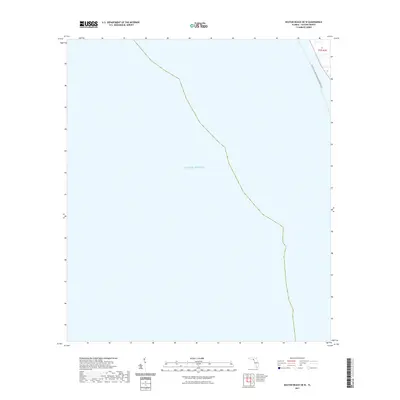
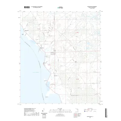
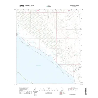
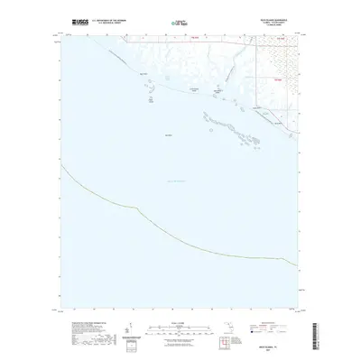
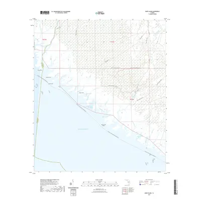
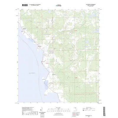
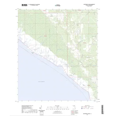
Fishermans Rest sits along a quiet stretch of the Florida coast, where tidal wetlands and low-lying marshes meet the Gulf of America. This coastal landscape is defined by its intricate network of waterways, including Crooked Creek, Little Bear Creek, and Clay Creek, which snake through the salt marshes toward the open sea. Notable coastal landmarks such as Crooked Point, Big Grass Island, and Long Grass Point suggest a geography that is seasonally shifting and largely undeveloped.
Find a feature on this map
9 named features on this map. Tap any name to fly to it.
Don’t see what you’re looking for? This feature index may not catch every label — zoom into the map to look around manually.
Map Details
Editions of this 2025 Crooked Point Map
This is the sole edition of this map. No revisions or reprints were ever made.
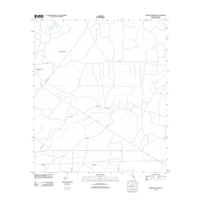
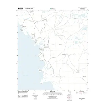
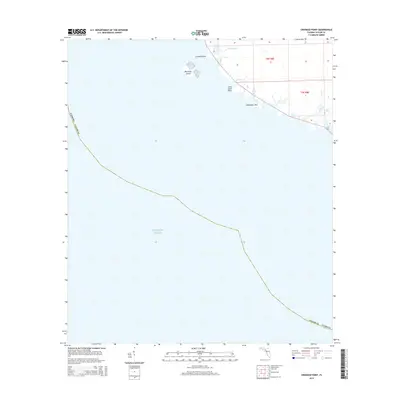
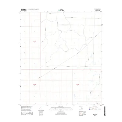
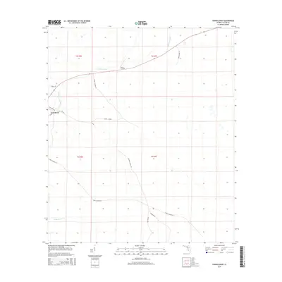
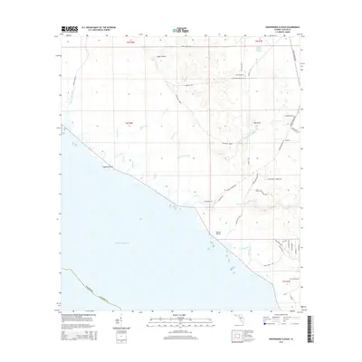
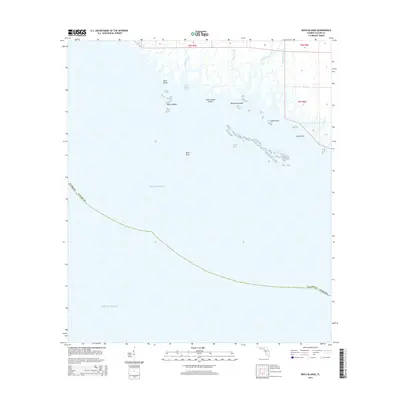
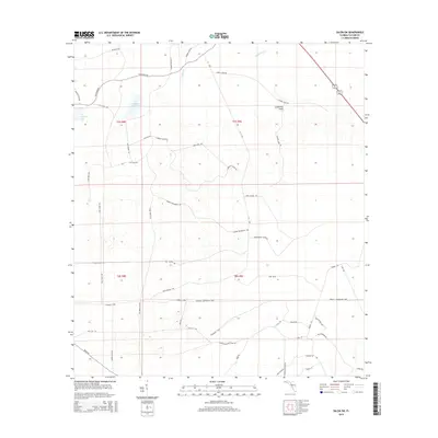
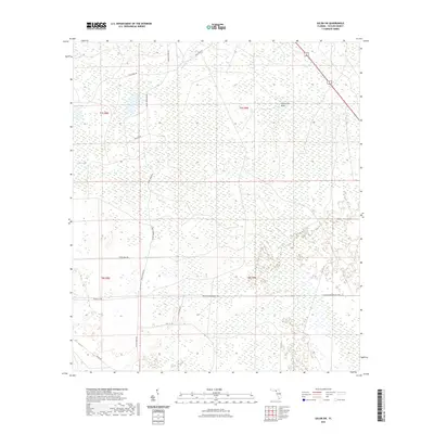
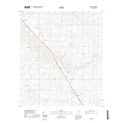
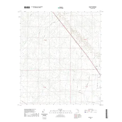
Historical Maps of Taylor County Through Time
111 maps found
1952 Secotan
Taylor County, FL
1954 Boyd
Taylor County, FL
1954 Clara
Taylor County, FL
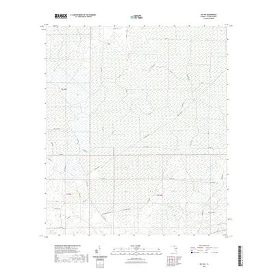
1954 Crooked Point
Taylor County, FL
1954 Day NW
Taylor County, FL
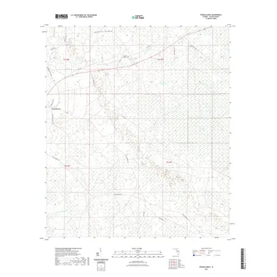
1954 Fenholloway
Taylor County, FL
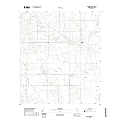
1954 Hampton Springs
Taylor County, FL
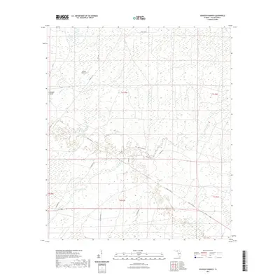
1954 Johnson Hammock
Taylor County, FL
1954 Keaton Beach
Taylor County, FL
1954 Okefenokee Slough
Taylor County, FL
1954 Salem Sw
Taylor County, FL
1954 Salem
Taylor County, FL
1954 Secotan
Taylor County, FL
1954 Warrior Swamp
Taylor County, FL
1955 Manlin Hammock
Taylor County, FL
1955 Rock Islands
Taylor County, FL
1955 Snipe Island
Taylor County, FL
1956 Hampton Springs
Taylor County, FL
1994 Rock Islands
Taylor County, FL
2012 Boyd
Taylor County, FL

2012 Clara
Taylor County, FL
2012 Crooked Point
Taylor County, FL
2012 Day NW
Taylor County, FL
2012 Fenholloway
Taylor County, FL
2012 Hampton Springs
Taylor County, FL
2012 Johnson Hammock
Taylor County, FL
2012 Keaton Beach OE W
Taylor County, FL
2012 Keaton Beach
Taylor County, FL
2012 Manlin Hammock
Taylor County, FL
2012 Okefenokee Slough
Taylor County, FL
2012 Rock Islands
Taylor County, FL
2012 Salem SW
Taylor County, FL
2012 Salem
Taylor County, FL
2012 Secotan
Taylor County, FL
2012 Snipe Island
Taylor County, FL
2012 Warrior Swamp
Taylor County, FL

2015 Boyd
Taylor County, FL
2015 Clara
Taylor County, FL
2015 Crooked Point
Taylor County, FL
2015 Day NW
Taylor County, FL
2015 Fenholloway
Taylor County, FL
2015 Hampton Springs
Taylor County, FL
2015 Johnson Hammock
Taylor County, FL
2015 Keaton Beach OE W
Taylor County, FL
2015 Keaton Beach
Taylor County, FL
2015 Manlin Hammock
Taylor County, FL
2015 Okefenokee Slough
Taylor County, FL
2015 Rock Islands
Taylor County, FL
2015 Salem SW
Taylor County, FL
2015 Salem
Taylor County, FL
2015 Secotan
Taylor County, FL
2015 Snipe Island
Taylor County, FL
2015 Warrior Swamp
Taylor County, FL
2018 Boyd
Taylor County, FL
2018 Clara
Taylor County, FL
2018 Crooked Point
Taylor County, FL
2018 Day NW
Taylor County, FL
2018 Fenholloway
Taylor County, FL
2018 Hampton Springs
Taylor County, FL
2018 Johnson Hammock
Taylor County, FL
2018 Keaton Beach OE W
Taylor County, FL
2018 Keaton Beach
Taylor County, FL
2018 Manlin Hammock
Taylor County, FL
2018 Okefenokee Slough
Taylor County, FL
2018 Rock Islands
Taylor County, FL
2018 Salem SW
Taylor County, FL
2018 Salem
Taylor County, FL
2018 Secotan
Taylor County, FL
2018 Snipe Island
Taylor County, FL
2018 Warrior Swamp
Taylor County, FL
2021 Boyd
Taylor County, FL
2021 Clara
Taylor County, FL
2021 Crooked Point
Taylor County, FL
2021 Day NW
Taylor County, FL
2021 Fenholloway
Taylor County, FL
2021 Hampton Springs
Taylor County, FL
2021 Johnson Hammock
Taylor County, FL
2021 Keaton Beach OE W
Taylor County, FL
2021 Keaton Beach
Taylor County, FL
2021 Manlin Hammock
Taylor County, FL
2021 Okefenokee Slough
Taylor County, FL
2021 Rock Islands
Taylor County, FL
2021 Salem SW
Taylor County, FL
2021 Salem
Taylor County, FL
2021 Secotan
Taylor County, FL
2021 Snipe Island
Taylor County, FL
2021 Warrior Swamp
Taylor County, FL
2024 Boyd
Taylor County, FL
2024 Clara
Taylor County, FL
2024 Crooked Point
Taylor County, FL
2024 Day NW
Taylor County, FL
2024 Fenholloway
Taylor County, FL
2024 Hampton Springs
Taylor County, FL
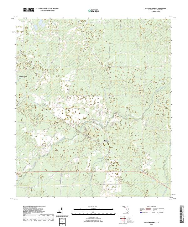
2024 Johnson Hammock
Taylor County, FL
2024 Keaton Beach OE W
Taylor County, FL
2024 Keaton Beach
Taylor County, FL
2024 Manlin Hammock
Taylor County, FL
2024 Okefenokee Slough
Taylor County, FL
2024 Rock Islands
Taylor County, FL
2024 Salem SW
Taylor County, FL
2024 Salem
Taylor County, FL
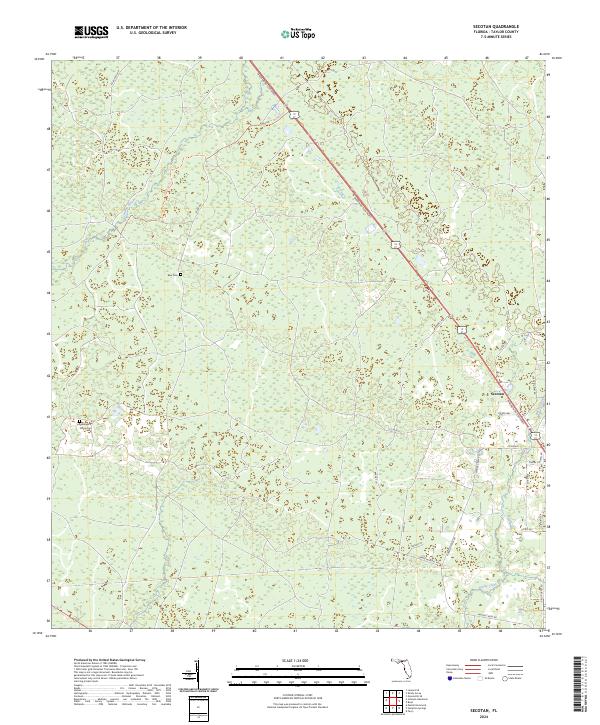
2024 Secotan
Taylor County, FL
2024 Snipe Island
Taylor County, FL
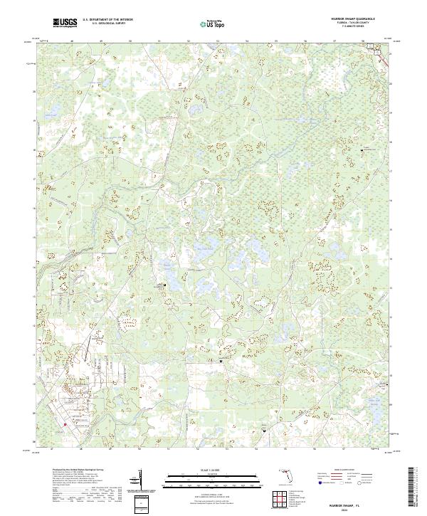
2024 Warrior Swamp
Taylor County, FL
2025 Crooked Point
Taylor County, FL
2025 Keaton Beach OE W
Taylor County, FL
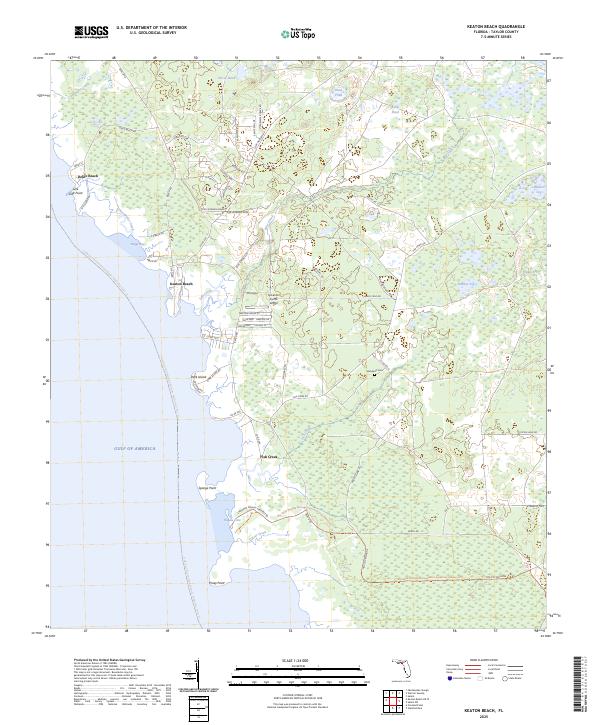
2025 Keaton Beach
Taylor County, FL
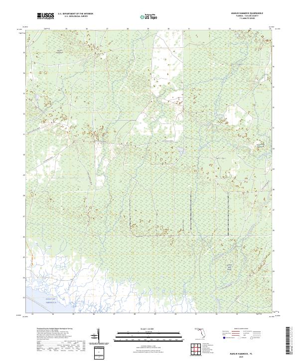
2025 Manlin Hammock
Taylor County, FL
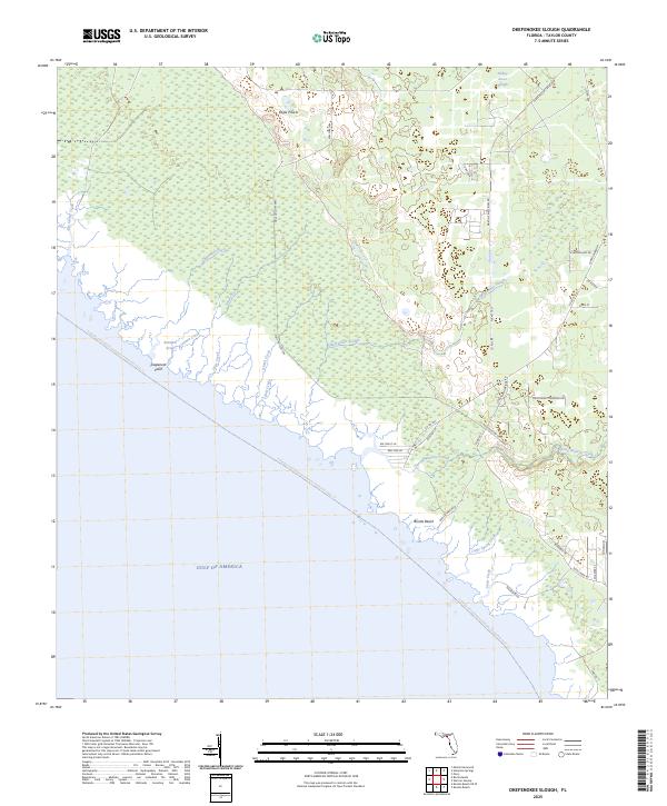
2025 Okefenokee Slough
Taylor County, FL

2025 Rock Islands
Taylor County, FL
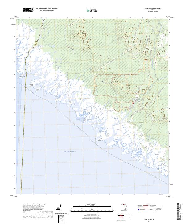
2025 Snipe Island
Taylor County, FL