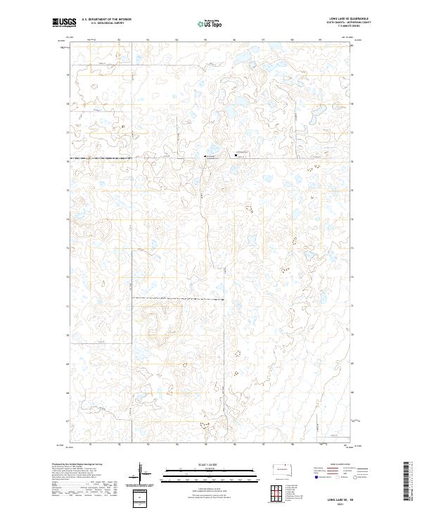
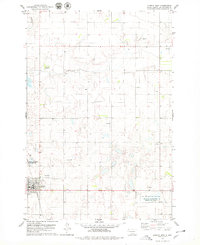
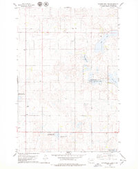
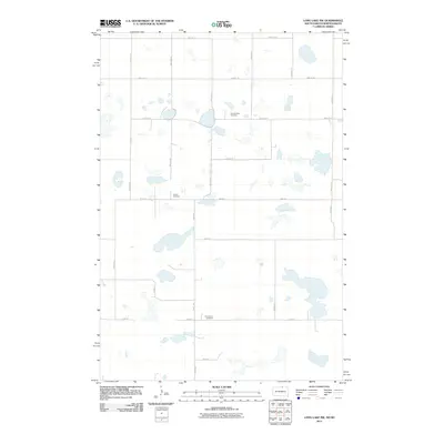
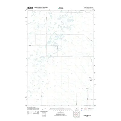
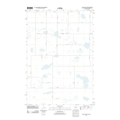
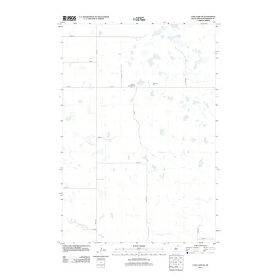
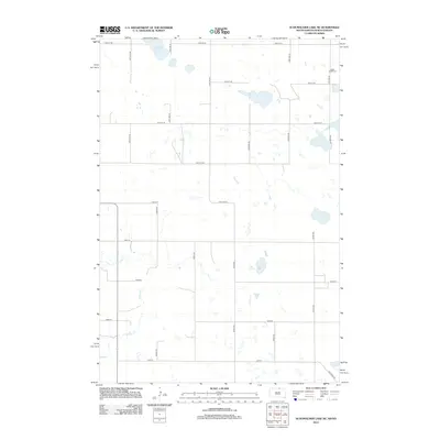
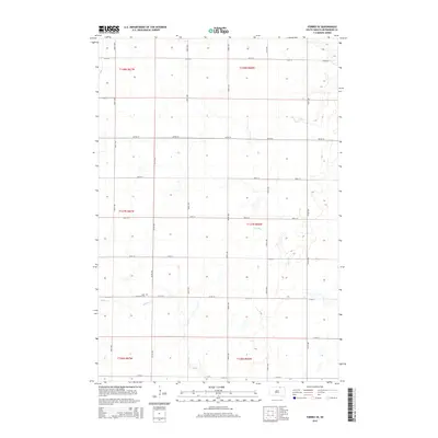
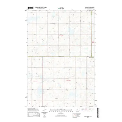
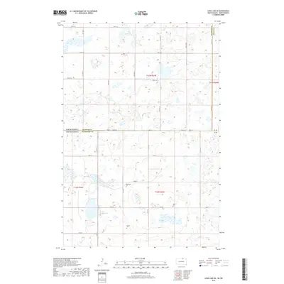
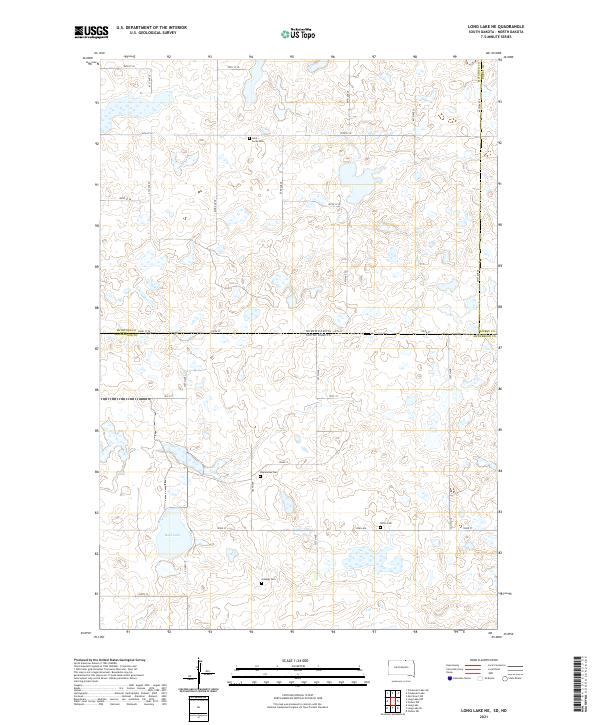
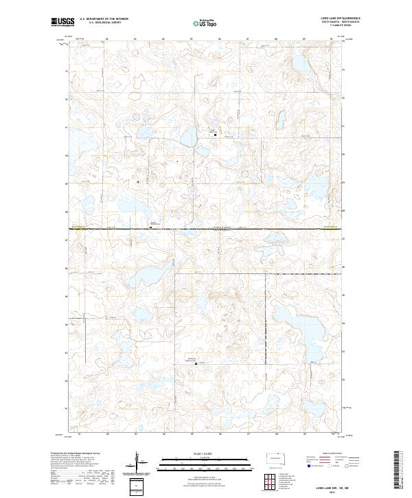
2021 Map of Long Lake SE
USGS Topo · Published 2021About this map
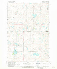
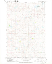
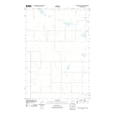
McPherson County’s prairie landscape is defined by the countless glacial depressions and prairie potholes that dot this rural township south of the North Dakota border. The area is dominated by the intersecting grids of section-line roads, such as Co Hwy 17 and Co Hwy 8, which navigate around the wetland basins. The Hoffnungs Gemeinde Cem and the nearby Hoffnungs Cem serve as critical anchors for local genealogical research, marking the spiritual and burial grounds of the area’s early German-Russian farming community. In the southern portion of the sheet, the headwaters of Foot Cr begin their winding path through the grassland. This 2021 survey illustrates a region where the land remains largely dedicated to large-scale agriculture, with individual homesteads and farmsteads scattered along gravel routes like Cedar Rd and Plum Rd.
Find a feature on this map
26 named features on this map. Tap any name to fly to it.
Don’t see what you’re looking for? This feature index may not catch every label — zoom into the map to look around manually.
Map Details
Editions of this 2021 Long Lake SE Map
This is the sole edition of this map. No revisions or reprints were ever made.
Historical Maps of McPherson County Through Time
101 maps found
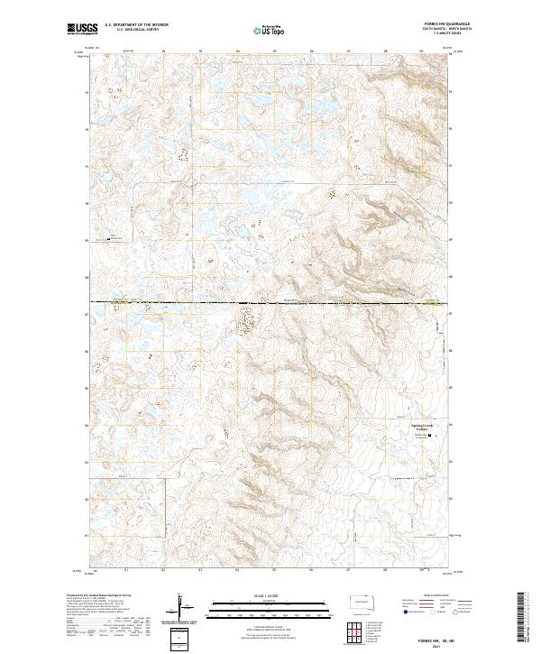
1968 Forbes NW
McPherson County, SD
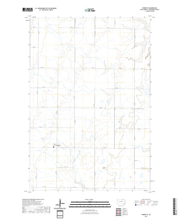
1968 Forbes SE
McPherson County, SD
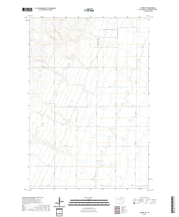
1968 Forbes SW
McPherson County, SD
1968 Long Lake NE
McPherson County, SD
1968 Long Lake NW
McPherson County, SD
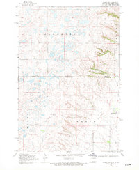
1968 Long Lake SE
McPherson County, SD
1970 Wetonka North
McPherson County, SD
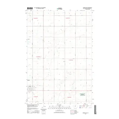
1978 Eureka East
McPherson County, SD
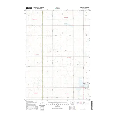
1978 Eureka West
McPherson County, SD
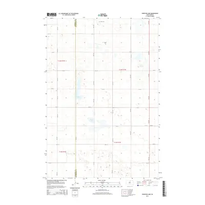
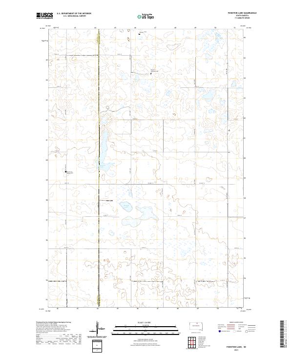
1978 Feinstein Lake
McPherson County, SD
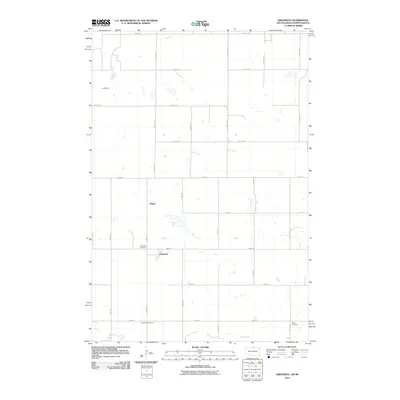
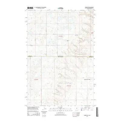
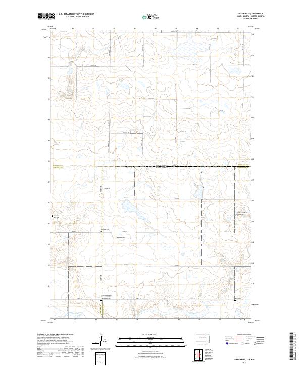
1978 Greenway
McPherson County, SD
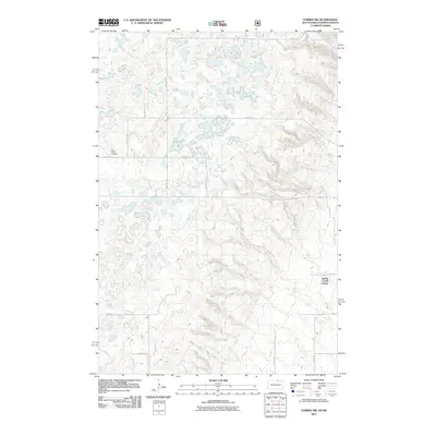
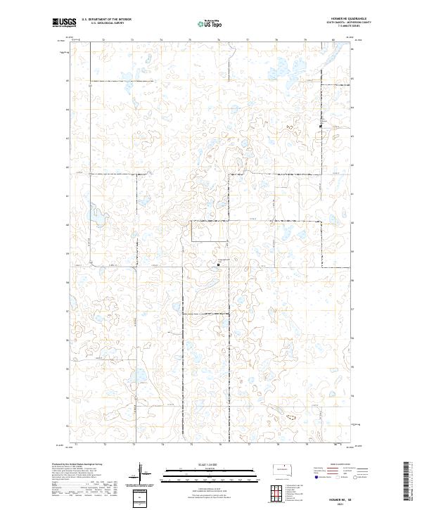
1978 Hosmer NE
McPherson County, SD
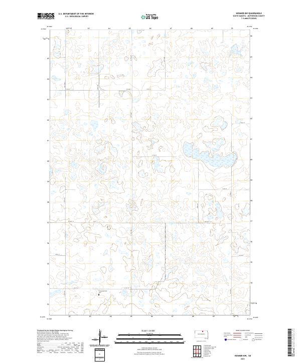
1978 Hosmer NW
McPherson County, SD
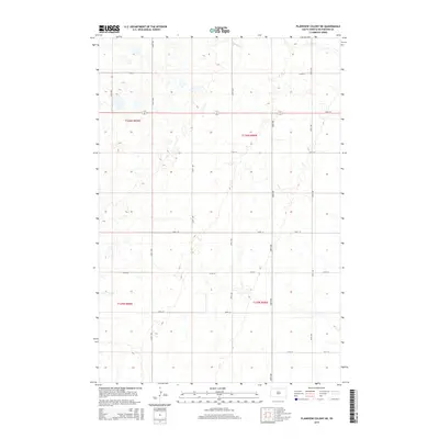
1978 Plainview Colony NE
McPherson County, SD
1978 Plainview Colony NW
McPherson County, SD
1978 Schumacher Lake
McPherson County, SD
1978 Schumacher Lake NE
McPherson County, SD
1978 Schumacher Lake SW
McPherson County, SD
1978 Wolff Lake
McPherson County, SD
2011 Forbes NW
McPherson County, SD
2011 Greenway
McPherson County, SD
2011 Long Lake NE
McPherson County, SD
2011 Long Lake NW
McPherson County, SD
2011 Schumacher Lake NE
McPherson County, SD
2011 Wolff Lake
McPherson County, SD
2012 Eureka East
McPherson County, SD
2012 Eureka West
McPherson County, SD

2012 Feinstein Lake
McPherson County, SD
2012 Forbes NW
McPherson County, SD
2012 Forbes SE
McPherson County, SD
2012 Forbes SW
McPherson County, SD
2012 Greenway
McPherson County, SD
2012 Hosmer NE
McPherson County, SD
2012 Hosmer NW
McPherson County, SD
2012 Long Lake NE
McPherson County, SD
2012 Long Lake NW
McPherson County, SD
2012 Long Lake SE
McPherson County, SD
2012 Plainview Colony NE
McPherson County, SD
2012 Plainview Colony NW
McPherson County, SD
2012 Schumacher Lake
McPherson County, SD
2012 Schumacher Lake NE
McPherson County, SD
2012 Schumacher Lake SW
McPherson County, SD
2012 Wetonka North
McPherson County, SD
2012 Wolff Lake
McPherson County, SD
2015 Eureka East
McPherson County, SD
2015 Eureka West
McPherson County, SD
2015 Feinstein Lake
McPherson County, SD
2015 Forbes NW
McPherson County, SD
2015 Forbes SE
McPherson County, SD
2015 Forbes SW
McPherson County, SD
2015 Greenway
McPherson County, SD
2015 Hosmer NE
McPherson County, SD
2015 Hosmer NW
McPherson County, SD
2015 Long Lake NE
McPherson County, SD
2015 Long Lake NW
McPherson County, SD
2015 Long Lake SE
McPherson County, SD
2015 Plainview Colony NE
McPherson County, SD
2015 Plainview Colony NW
McPherson County, SD
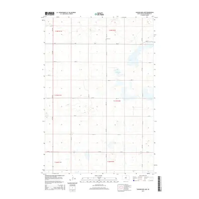
2015 Schumacher Lake
McPherson County, SD
2015 Schumacher Lake NE
McPherson County, SD
2015 Schumacher Lake SW
McPherson County, SD
2015 Wetonka North
McPherson County, SD
2015 Wolff Lake
McPherson County, SD
2017 Eureka East
McPherson County, SD
2017 Eureka West
McPherson County, SD
2017 Feinstein Lake
McPherson County, SD
2017 Forbes NW
McPherson County, SD
2017 Forbes SE
McPherson County, SD
2017 Forbes SW
McPherson County, SD
2017 Greenway
McPherson County, SD
2017 Hosmer NE
McPherson County, SD
2017 Hosmer NW
McPherson County, SD
2017 Long Lake NE
McPherson County, SD
2017 Long Lake NW
McPherson County, SD
2017 Long Lake SE
McPherson County, SD
2017 Plainview Colony NE
McPherson County, SD
2017 Plainview Colony NW
McPherson County, SD
2017 Schumacher Lake
McPherson County, SD
2017 Schumacher Lake NE
McPherson County, SD
2017 Schumacher Lake SW
McPherson County, SD
2017 Wetonka North
McPherson County, SD
2017 Wolff Lake
McPherson County, SD
2021 Eureka East
McPherson County, SD
2021 Eureka West
McPherson County, SD
2021 Feinstein Lake
McPherson County, SD
2021 Forbes NW
McPherson County, SD
2021 Forbes SE
McPherson County, SD
2021 Forbes SW
McPherson County, SD
2021 Greenway
McPherson County, SD
2021 Hosmer NE
McPherson County, SD
2021 Hosmer NW
McPherson County, SD
2021 Long Lake NE
McPherson County, SD
2021 Long Lake NW
McPherson County, SD
2021 Long Lake SE
McPherson County, SD
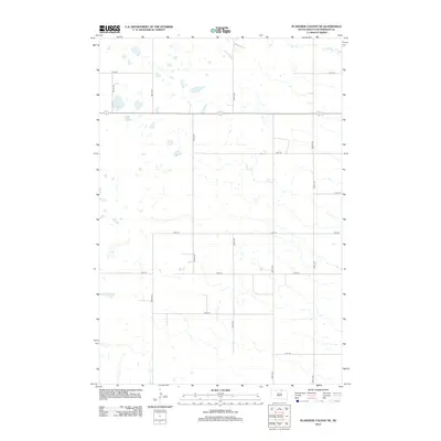
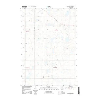
2021 Plainview Colony NE
McPherson County, SD
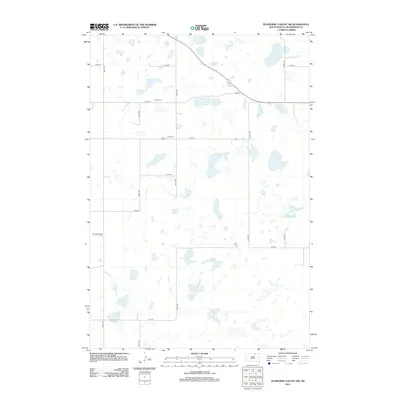
2021 Plainview Colony NW
McPherson County, SD
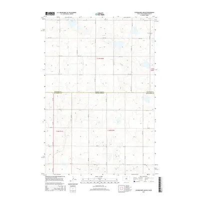
2021 Schumacher Lake
McPherson County, SD
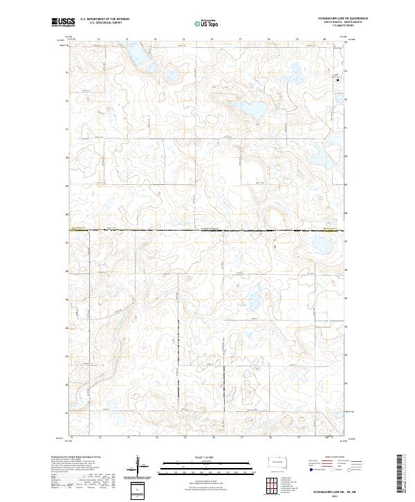
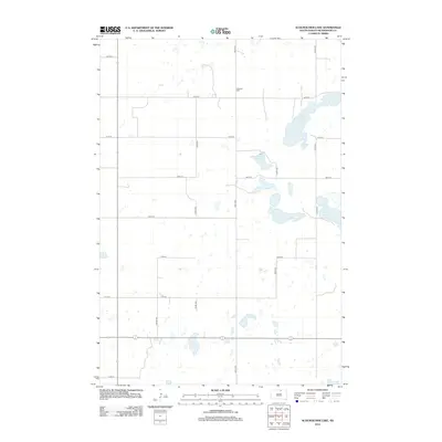
2021 Schumacher Lake NE
McPherson County, SD
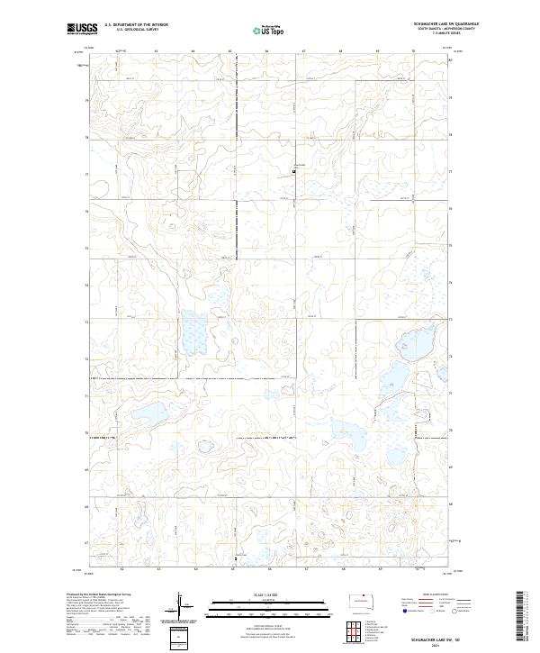
2021 Schumacher Lake SW
McPherson County, SD

2021 Wetonka North
McPherson County, SD
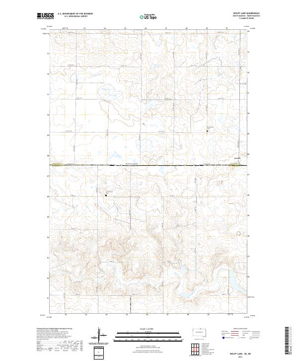
2021 Wolff Lake
McPherson County, SD