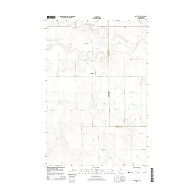
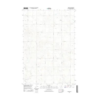
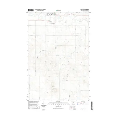
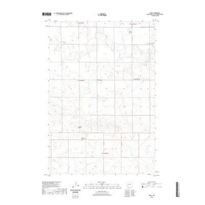
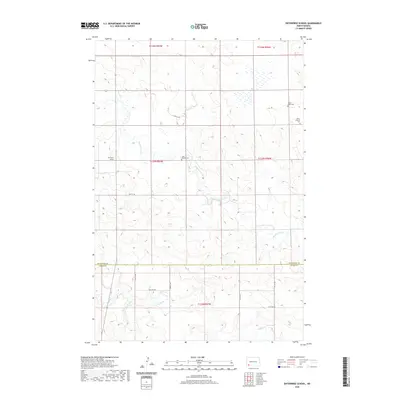
2024 Map of Enterprise School
USGS Topo · Published 2024About this map
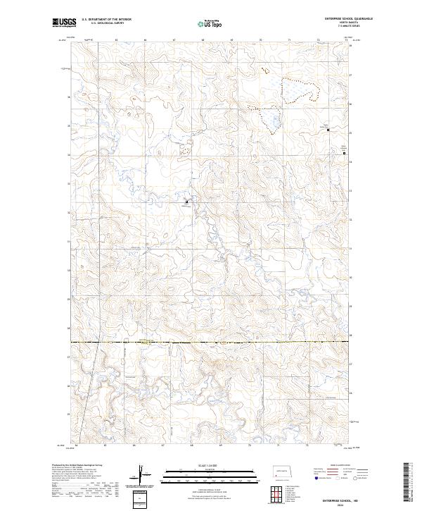
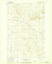
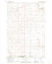
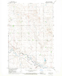
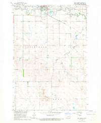
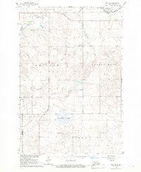
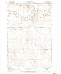
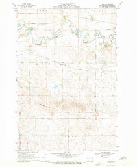
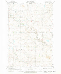
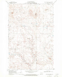
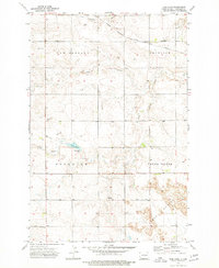
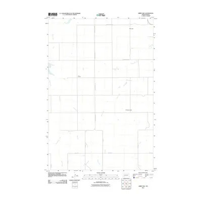
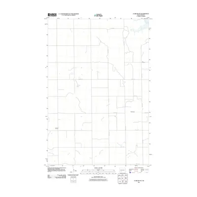
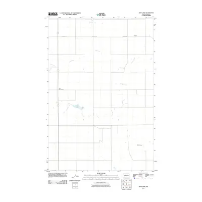
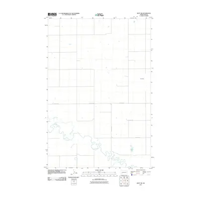
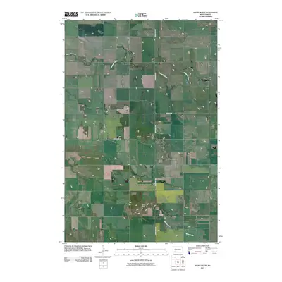
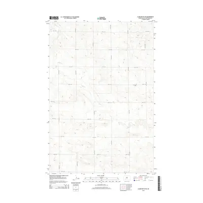
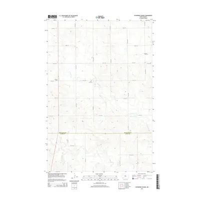
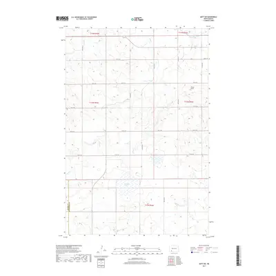
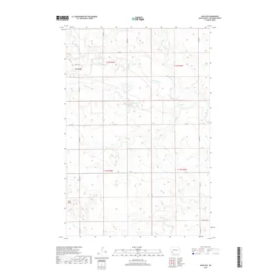
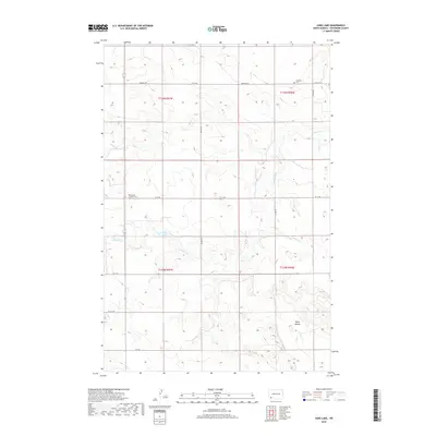
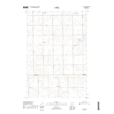
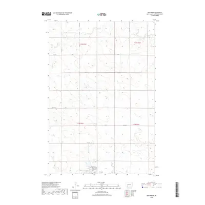
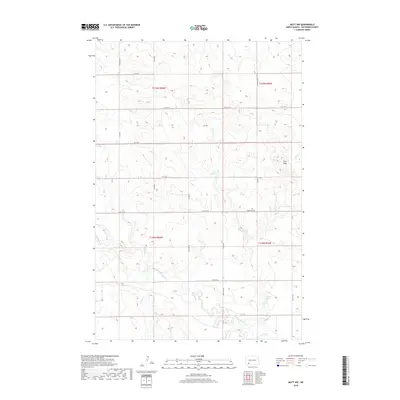
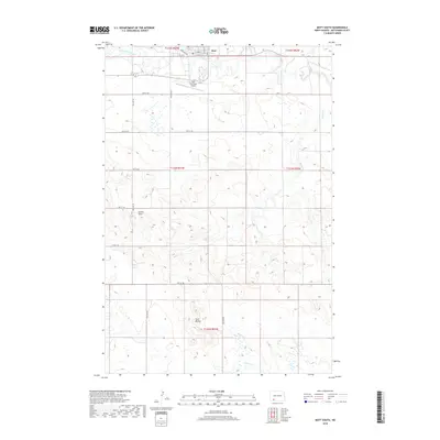
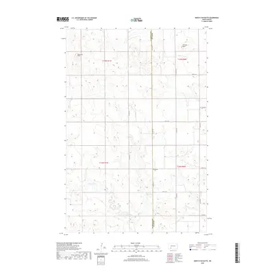
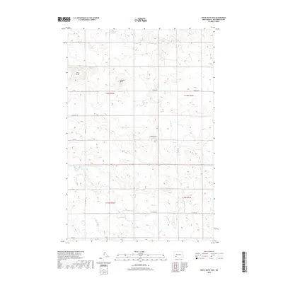
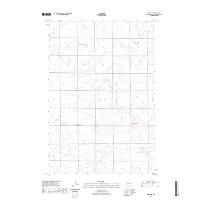
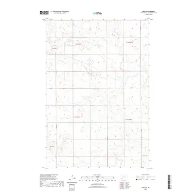
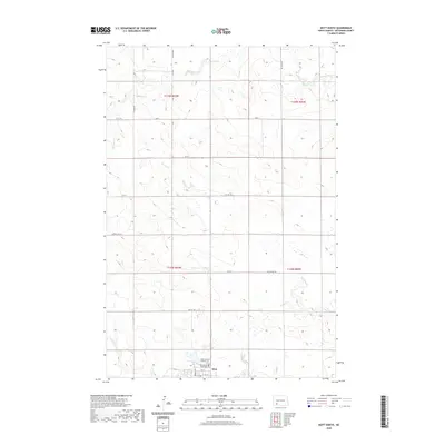
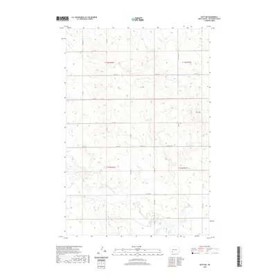
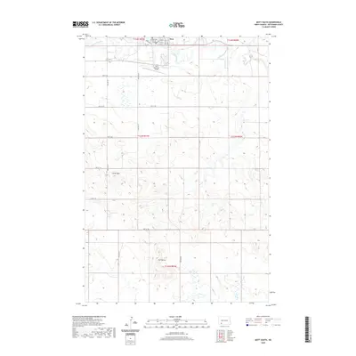
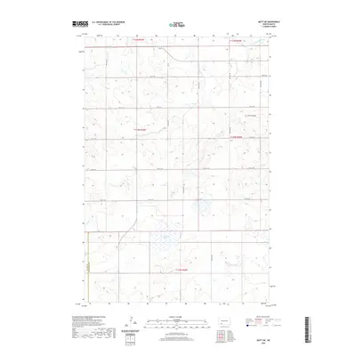
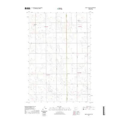
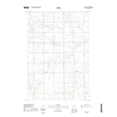
Tepee Butte Cem and Peace Lutheran Cem sit upon the high ground of the North Dakota plains, marking the enduring presence of early families near the border of Hettinger and Adams counties. This landscape is defined by the winding paths of Chanta Peta Creek and Cedar Creek, which drain a complex network of coulees and ridges typical of the state's southwestern prairie. A rural road grid, including 76th St SW and 10th St NW, provides access to these isolated sites. The inclusion of Saint Helena Cem further illustrates the religious and community foundations established by settlers in this sparsely populated region. This 2024 survey documents the current topographical state of these historic points of interest, capturing the relationship between the drainage of the Russian Slough and the surrounding agricultural sections.
Find a feature on this map
18 named features on this map. Tap any name to fly to it.
Don’t see what you’re looking for? This feature index may not catch every label — zoom into the map to look around manually.
Map Details
Editions of this 2024 Enterprise School Map
This is the sole edition of this map. No revisions or reprints were ever made.
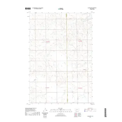
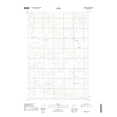
Historical Maps of Hettinger County Through Time
115 maps found
1960 Clark Butte
Hettinger County, ND
1960 Clark Butte SW
Hettinger County, ND
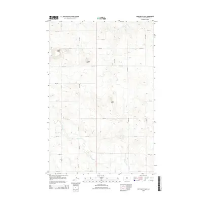
1960 White Butte East
Hettinger County, ND
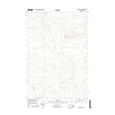
1960 White Butte West
Hettinger County, ND
1966 Mott North
Hettinger County, ND
1966 Mott NW
Hettinger County, ND
1966 Mott South
Hettinger County, ND
1966 Mott SW
Hettinger County, ND
1969 Bentley
Hettinger County, ND
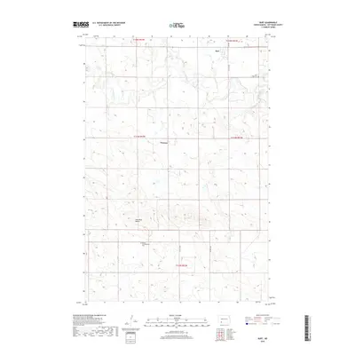
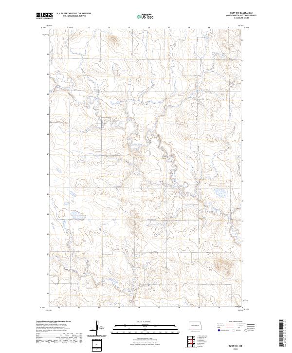
1969 Burt
Hettinger County, ND
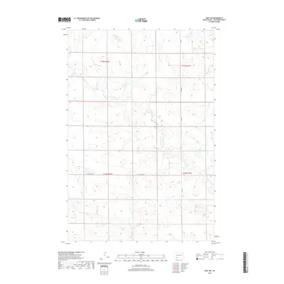
1969 Burt NW
Hettinger County, ND
1969 North Star Butte
Hettinger County, ND
1973 Abbey Hill
Hettinger County, ND
1973 Enterprise School
Hettinger County, ND
1973 Havelock
Hettinger County, ND
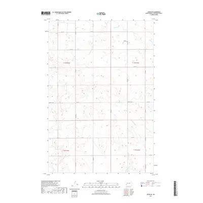
1973 Jung Lake
Hettinger County, ND
1973 Lefor SW
Hettinger County, ND
1973 Liens Dams
Hettinger County, ND
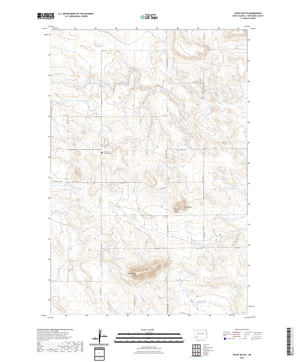
1973 Stony Butte
Hettinger County, ND
2011 Abbey Hill
Hettinger County, ND
2011 Bentley
Hettinger County, ND
2011 Burt
Hettinger County, ND
2011 Burt NW
Hettinger County, ND
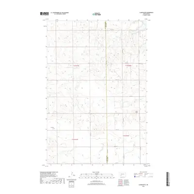
2011 Clark Butte
Hettinger County, ND
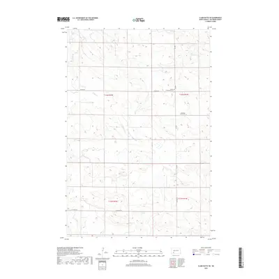
2011 Clark Butte SW
Hettinger County, ND
2011 Enterprise School
Hettinger County, ND
2011 Havelock
Hettinger County, ND
2011 Jung Lake
Hettinger County, ND
2011 Lefor SW
Hettinger County, ND
2011 Liens Dams
Hettinger County, ND
2011 Mott North
Hettinger County, ND
2011 Mott NW
Hettinger County, ND
2011 Mott South
Hettinger County, ND
2011 Mott SW
Hettinger County, ND
2011 North Star Butte
Hettinger County, ND
2011 Stony Butte
Hettinger County, ND
2011 White Butte East
Hettinger County, ND
2011 White Butte West
Hettinger County, ND
2014 Abbey Hill
Hettinger County, ND
2014 Bentley
Hettinger County, ND
2014 Burt
Hettinger County, ND
2014 Burt NW
Hettinger County, ND
2014 Clark Butte
Hettinger County, ND
2014 Clark Butte SW
Hettinger County, ND
2014 Enterprise School
Hettinger County, ND
2014 Havelock
Hettinger County, ND
2014 Jung Lake
Hettinger County, ND
2014 Lefor SW
Hettinger County, ND
2014 Liens Dams
Hettinger County, ND
2014 Mott North
Hettinger County, ND
2014 Mott NW
Hettinger County, ND
2014 Mott South
Hettinger County, ND
2014 Mott SW
Hettinger County, ND
2014 North Star Butte
Hettinger County, ND
2014 Stony Butte
Hettinger County, ND
2014 White Butte East
Hettinger County, ND
2014 White Butte West
Hettinger County, ND
2017 Enterprise School
Hettinger County, ND
2017 Lefor SW
Hettinger County, ND
2017 Mott SW
Hettinger County, ND
2017 Stony Butte
Hettinger County, ND
2018 Abbey Hill
Hettinger County, ND
2018 Bentley
Hettinger County, ND
2018 Burt
Hettinger County, ND
2018 Burt NW
Hettinger County, ND
2018 Clark Butte
Hettinger County, ND
2018 Clark Butte SW
Hettinger County, ND
2018 Havelock
Hettinger County, ND
2018 Jung Lake
Hettinger County, ND
2018 Liens Dams
Hettinger County, ND
2018 Mott North
Hettinger County, ND
2018 Mott NW
Hettinger County, ND
2018 Mott South
Hettinger County, ND
2018 North Star Butte
Hettinger County, ND
2018 White Butte East
Hettinger County, ND
2018 White Butte West
Hettinger County, ND
2020 Abbey Hill
Hettinger County, ND
2020 Bentley
Hettinger County, ND
2020 Burt
Hettinger County, ND
2020 Burt NW
Hettinger County, ND
2020 Clark Butte
Hettinger County, ND
2020 Clark Butte SW
Hettinger County, ND
2020 Enterprise School
Hettinger County, ND
2020 Havelock
Hettinger County, ND
2020 Jung Lake
Hettinger County, ND
2020 Lefor SW
Hettinger County, ND
2020 Liens Dams
Hettinger County, ND
2020 Mott North
Hettinger County, ND
2020 Mott NW
Hettinger County, ND
2020 Mott South
Hettinger County, ND
2020 Mott SW
Hettinger County, ND
2020 North Star Butte
Hettinger County, ND
2020 Stony Butte
Hettinger County, ND
2020 White Butte East
Hettinger County, ND
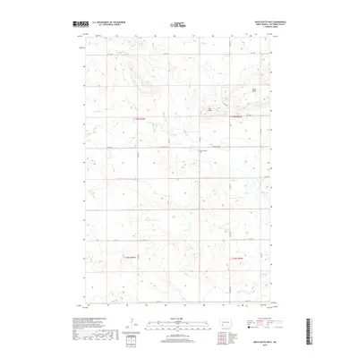
2020 White Butte West
Hettinger County, ND
2023 Havelock
Hettinger County, ND
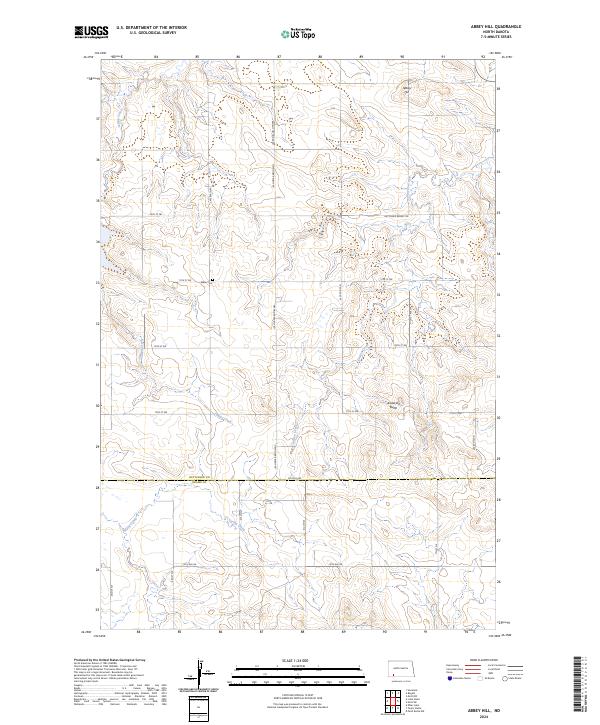
2024 Abbey Hill
Hettinger County, ND
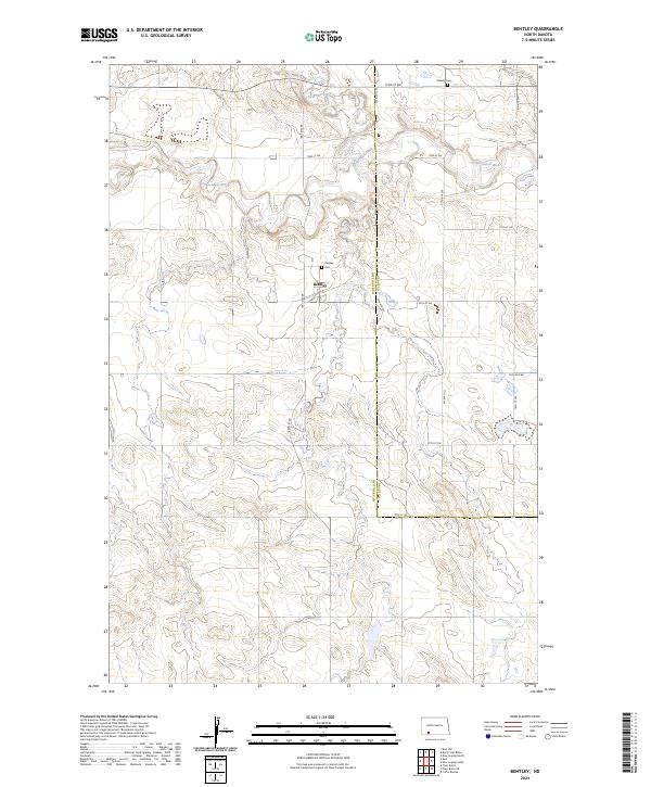
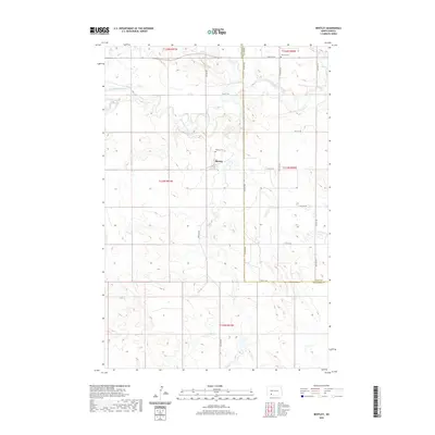
2024 Bentley
Hettinger County, ND
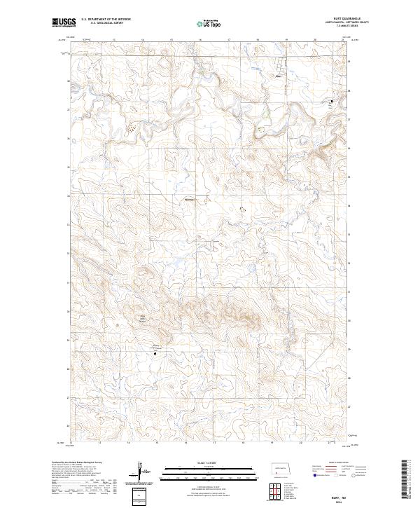
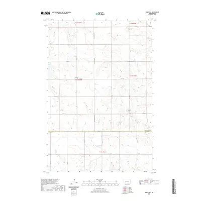
2024 Burt
Hettinger County, ND
2024 Burt NW
Hettinger County, ND
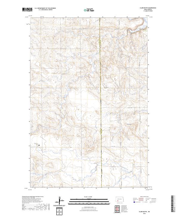
2024 Clark Butte
Hettinger County, ND
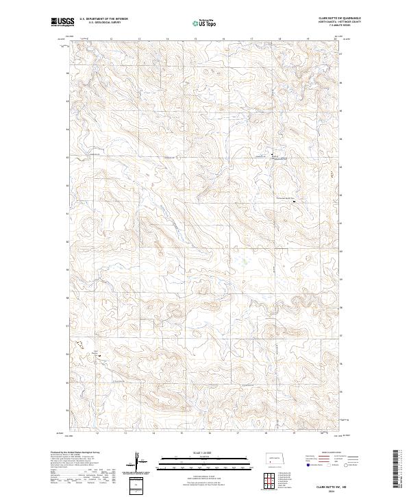
2024 Clark Butte SW
Hettinger County, ND
2024 Enterprise School
Hettinger County, ND
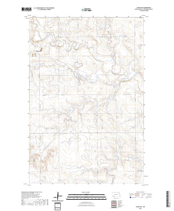
2024 Havelock
Hettinger County, ND
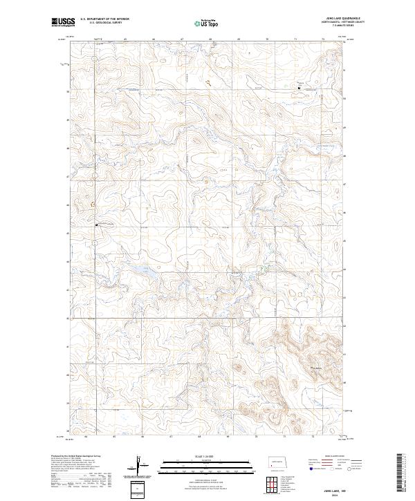
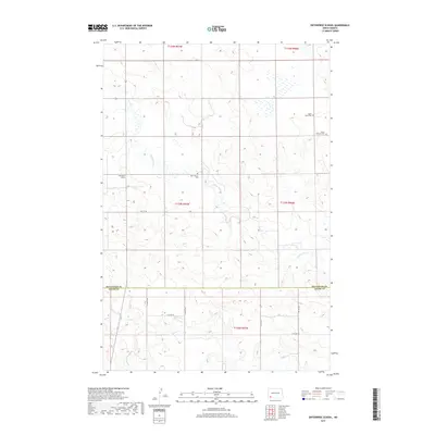
2024 Jung Lake
Hettinger County, ND
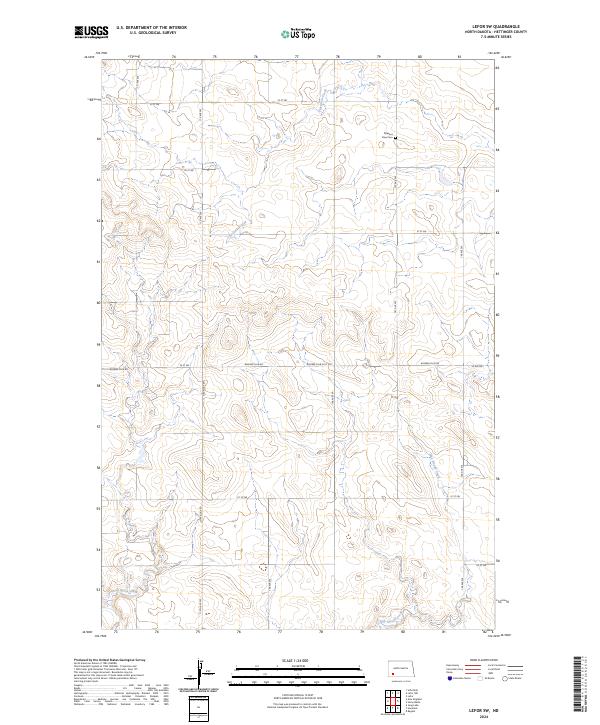
2024 Lefor SW
Hettinger County, ND
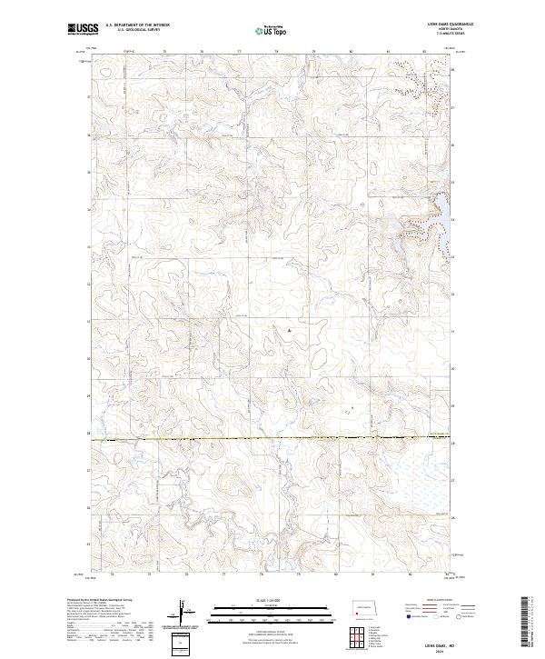
2024 Liens Dams
Hettinger County, ND
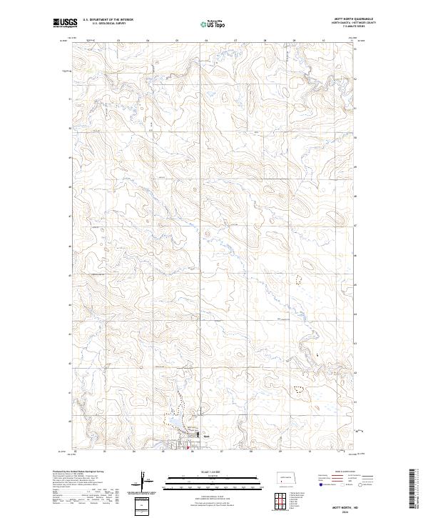
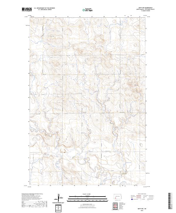
2024 Mott North
Hettinger County, ND
2024 Mott NW
Hettinger County, ND
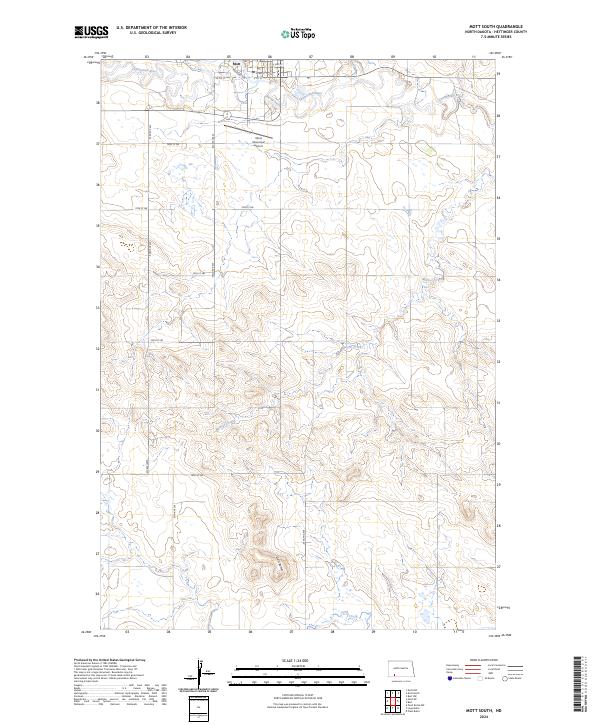
2024 Mott South
Hettinger County, ND
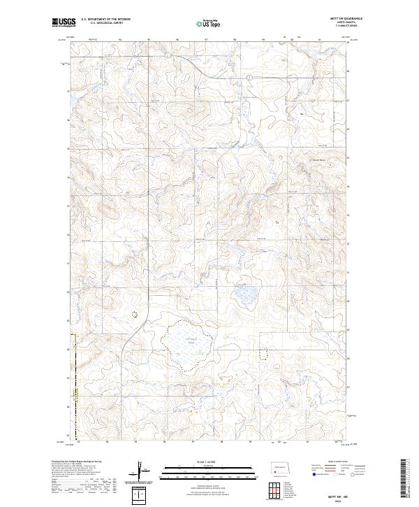
2024 Mott SW
Hettinger County, ND
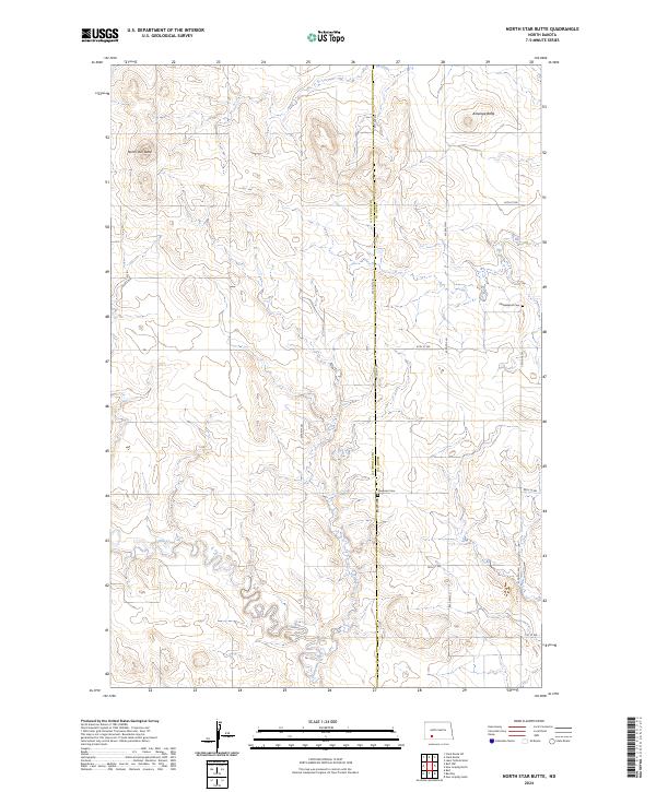
2024 North Star Butte
Hettinger County, ND
2024 Stony Butte
Hettinger County, ND
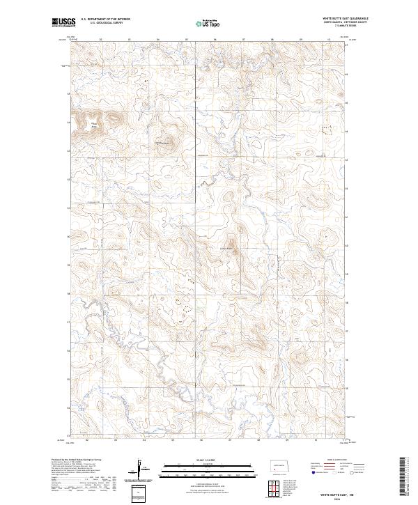
2024 White Butte East
Hettinger County, ND
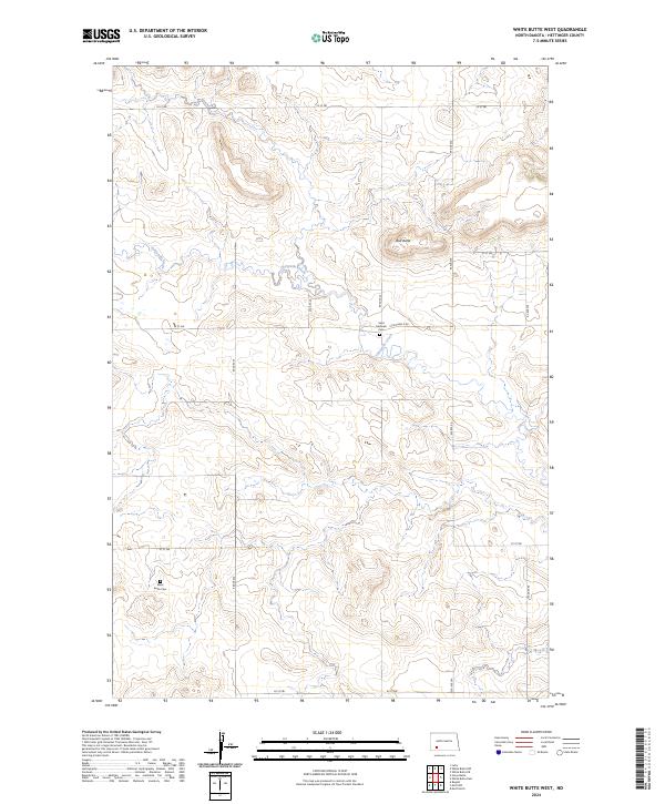
2024 White Butte West
Hettinger County, ND