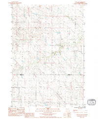
2021 Map of Meadow
USGS Topo · Published 2021About this map
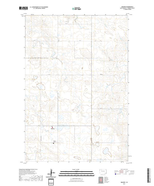
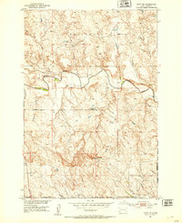
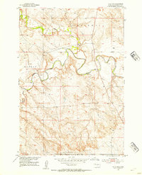
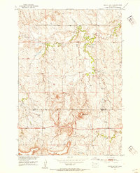
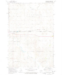
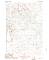
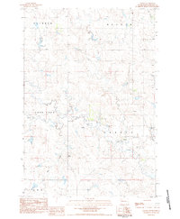
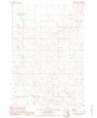
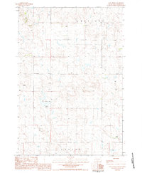
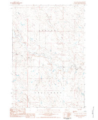
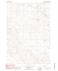
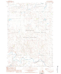
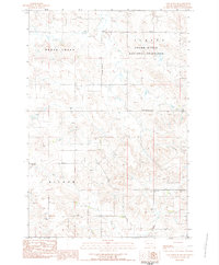
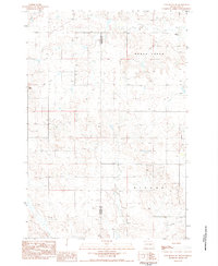
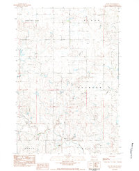
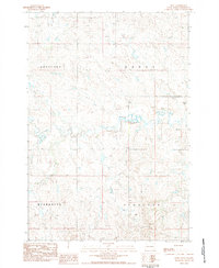
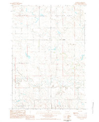
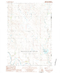
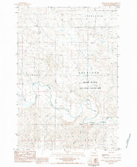
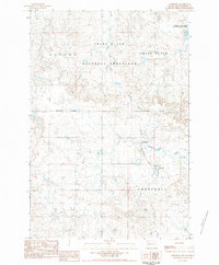
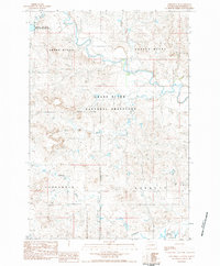
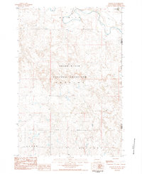
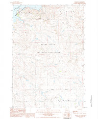
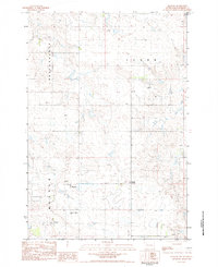
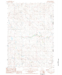
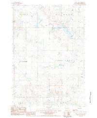
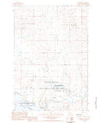
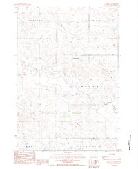
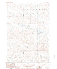
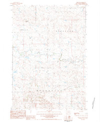
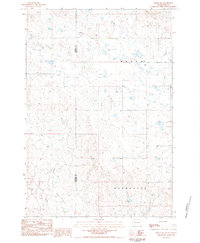
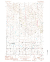
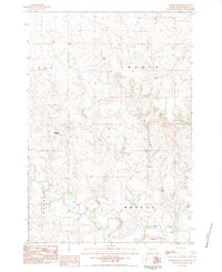
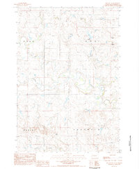
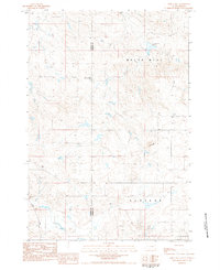
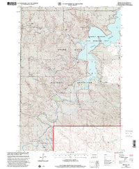
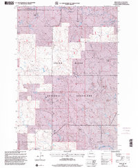
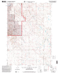
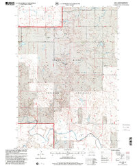
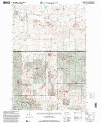
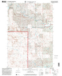
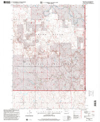
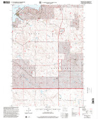
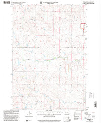
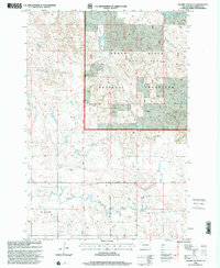
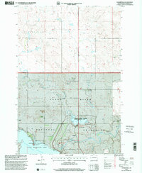
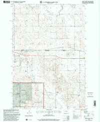
The unincorporated community of Meadow anchors this Perkins County landscape, situated where Meadow Creek RD meets the local section lines. A small cluster of landmarks identifies the heart of this rural settlement, including the Meadow Post Office and the nearby Meadow Gallaway Cem. The surrounding terrain is defined by the drainages of Black Horse Butte Cr and Whitney Cr, which carve subtle depressions through the high plains. A rigid grid of section roads, including 123RD St, Co Rd 4, and 126TH St, facilitates movement across the township boundaries of T18N and T19N. The map reveals the sparse but methodical arrangement of a modern ranching landscape, where every turn in the road connects isolated homesteads to the central point of the post office.
Find a feature on this map
16 named features on this map. Tap any name to fly to it.
Don’t see what you’re looking for? This feature index may not catch every label — zoom into the map to look around manually.
Map Details
Editions of this 2021 Meadow Map
This is the sole edition of this map. No revisions or reprints were ever made.
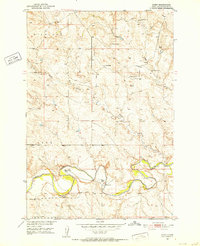
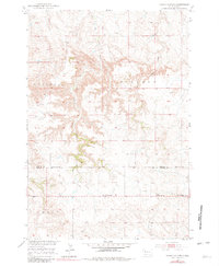
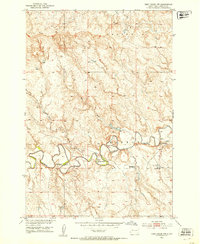
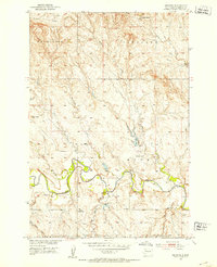
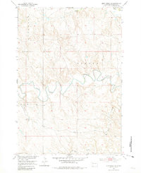
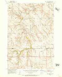
Historical Maps of Meadow Through Time
129 maps found
1951 Bixby
Perkins County, SD
1951 Cedar Canyon
Perkins County, SD
1951 Deep Creek NW
Perkins County, SD
1951 Faith NE
Perkins County, SD
1951 Imogene
Perkins County, SD

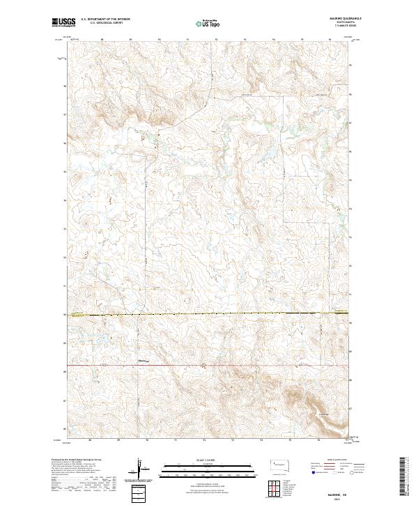
1951 Maurine
Perkins County, SD
1952 Deep Creek NE
Perkins County, SD
1952 Deep Creek SE
Perkins County, SD
1952 Faith NW
Perkins County, SD
1952 Signal Butte
Perkins County, SD
1974 Kid Rich Butte
Perkins County, SD
1974 Lemmon NE
Perkins County, SD
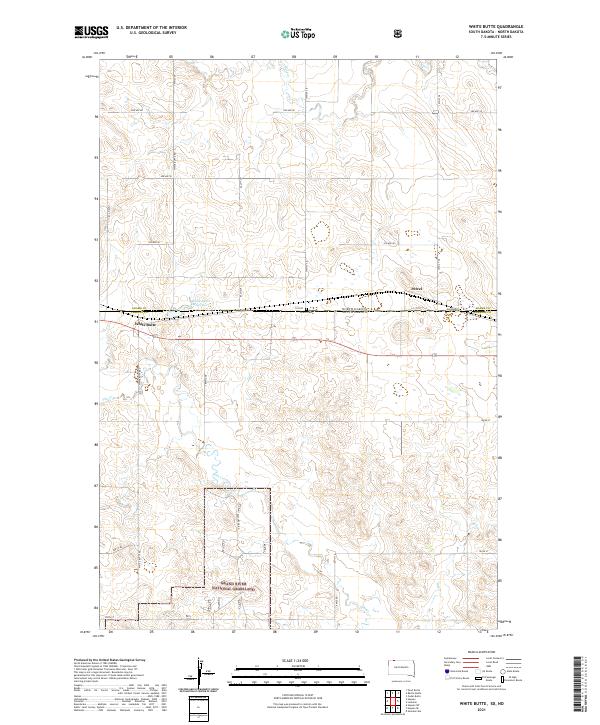
1974 White Butte
Perkins County, SD

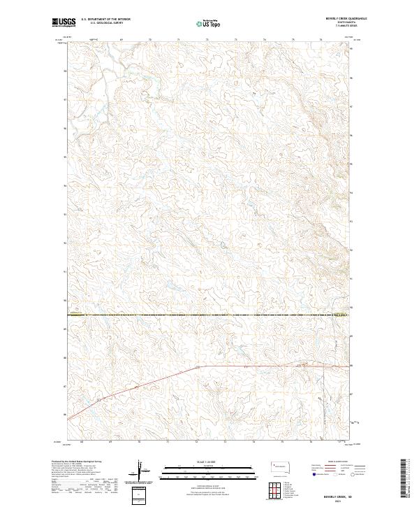
1980 Beverly Creek
Perkins County, SD
1980 Zeona
Perkins County, SD
1983 Bison NE
Perkins County, SD
1983 Bison NW
Perkins County, SD
1983 Boxcar Buttes
Perkins County, SD
1983 Chance
Perkins County, SD
1983 Coal Springs NW
Perkins County, SD
1983 Coal Springs
Perkins County, SD
1983 Coal Springs SE
Perkins County, SD
1983 Coal Springs SW
Perkins County, SD
1983 Cole Dam
Perkins County, SD
1983 Cow Butte SE
Perkins County, SD
1983 Cow Butte SW
Perkins County, SD
1983 Date NE
Perkins County, SD
1983 Date
Perkins County, SD
1983 Daviston
Perkins County, SD
1983 Faith SW
Perkins County, SD
1983 Grandmas Butte
Perkins County, SD
1983 Haynes SE
Perkins County, SD
1983 Haynes SW
Perkins County, SD
1983 Lemmon Lake
Perkins County, SD
1983 Little Nasty Creek
Perkins County, SD
1983 Lodgepole
Perkins County, SD
1983 Lodgepole SE
Perkins County, SD
1983 Meadow NE
Perkins County, SD
1983 Meadow NW
Perkins County, SD
1983 Meadow
Perkins County, SD
1983 Meadow SE
Perkins County, SD
1983 Owen Lake
Perkins County, SD
1983 Prairie City NE
Perkins County, SD
1983 Prairie City NW
Perkins County, SD
1983 Rabbit Butte
Perkins County, SD
1983 Sommerville
Perkins County, SD
1983 Sorum NE
Perkins County, SD
1983 Sorum
Perkins County, SD
1983 Sorum SE
Perkins County, SD
1983 Sorum SW
Perkins County, SD
1983 Square Top Butte
Perkins County, SD
1983 Sunrise Butte
Perkins County, SD
1983 Two Buttes
Perkins County, SD
1983 White Hill
Perkins County, SD
1998 Bison NE
Perkins County, SD
1998 Bison NW
Perkins County, SD
1998 Boxcar Buttes
Perkins County, SD
1998 Cole Dam
Perkins County, SD
1998 Cow Butte SE
Perkins County, SD
1998 Haynes SE
Perkins County, SD
1998 Haynes SW
Perkins County, SD
1998 Kid Rich Butte
Perkins County, SD
1998 Lemmon Lake
Perkins County, SD
1998 Little Nasty Creek
Perkins County, SD
1998 Lodgepole
Perkins County, SD
1998 Lodgepole SE
Perkins County, SD
1998 Meadow NE
Perkins County, SD
1998 Meadow NW
Perkins County, SD
1998 Meadow SE
Perkins County, SD
1998 Square Top Butte
Perkins County, SD
1998 Summerville
Perkins County, SD
1998 White Butte
Perkins County, SD
2021 Beverly Creek
Perkins County, SD
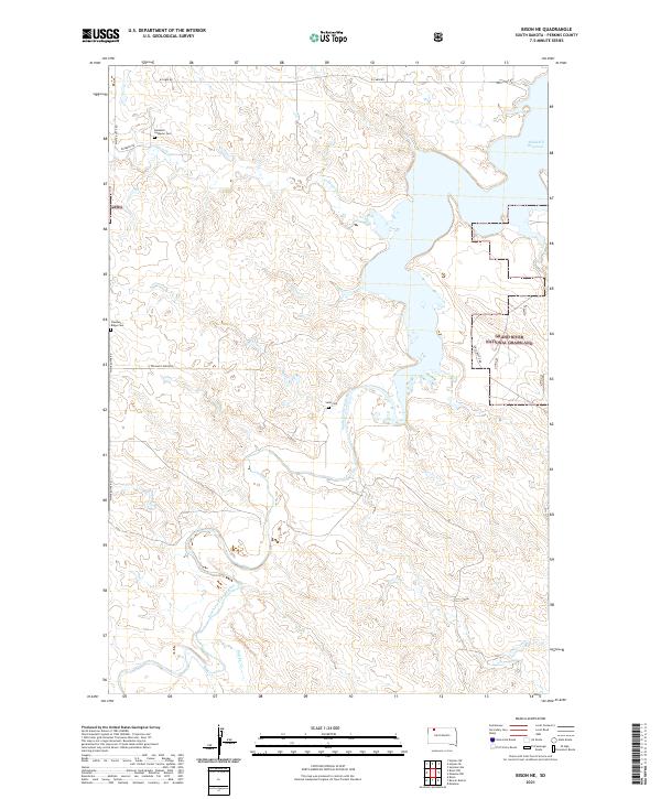
2021 Bison NE
Perkins County, SD
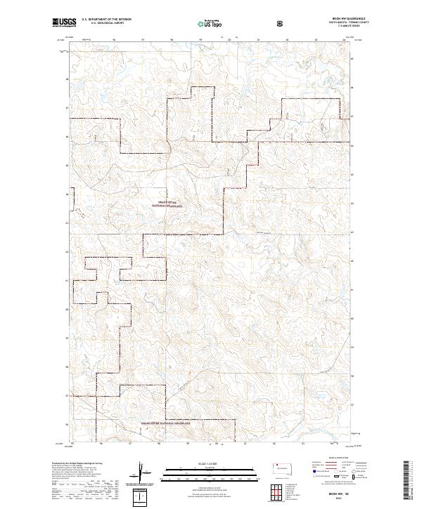
2021 Bison NW
Perkins County, SD
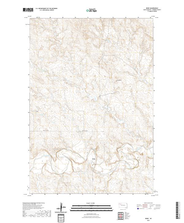
2021 Bixby
Perkins County, SD
2021 Boxcar Buttes
Perkins County, SD
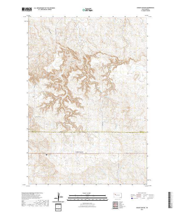
2021 Cedar Canyon
Perkins County, SD
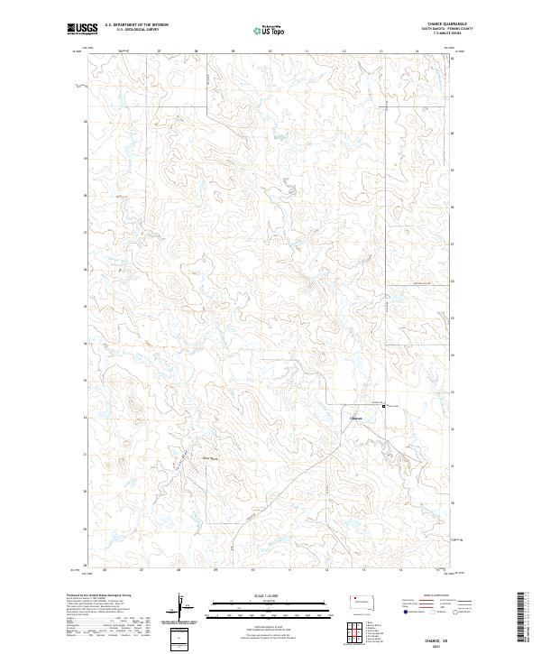
2021 Chance
Perkins County, SD
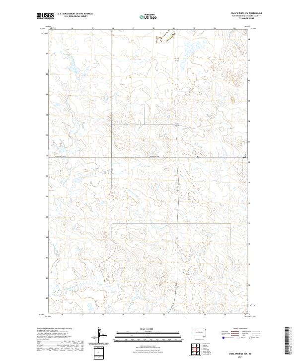
2021 Coal Springs NW
Perkins County, SD
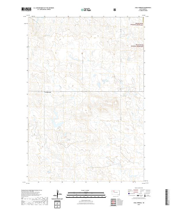
2021 Coal Springs
Perkins County, SD
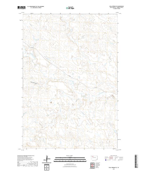
2021 Coal Springs SE
Perkins County, SD
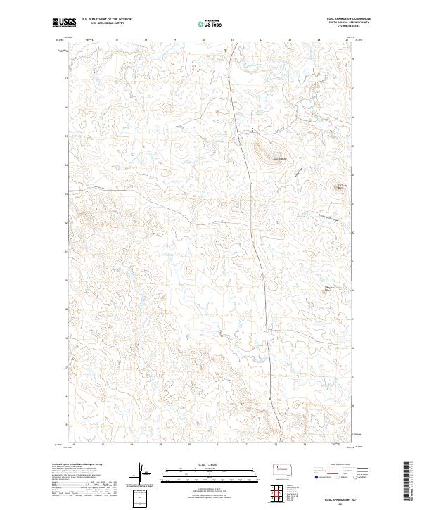
2021 Coal Springs SW
Perkins County, SD
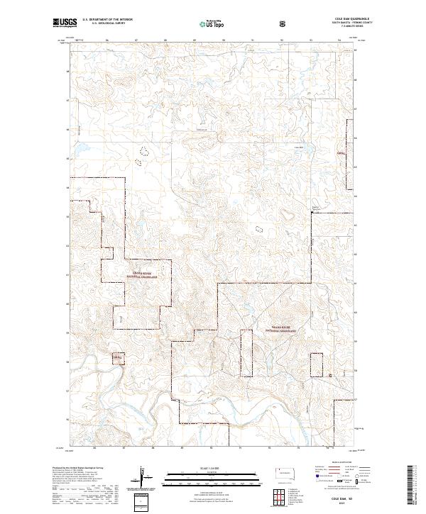
2021 Cole Dam
Perkins County, SD
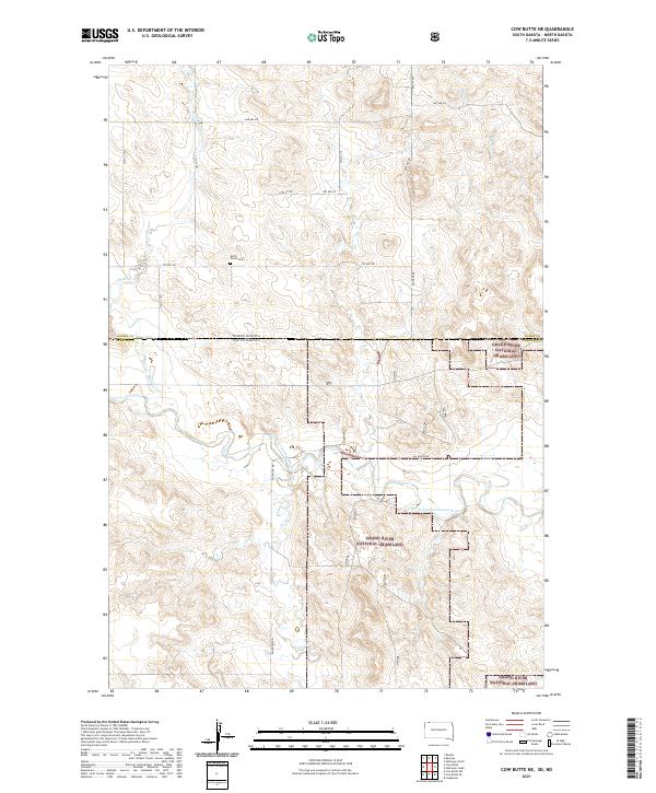
2021 Cow Butte NE
Perkins County, SD
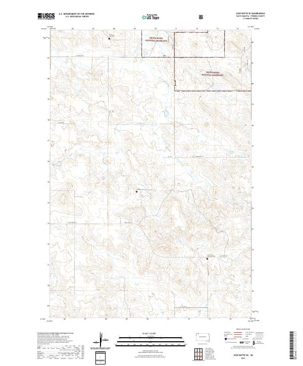
2021 Cow Butte SE
Perkins County, SD
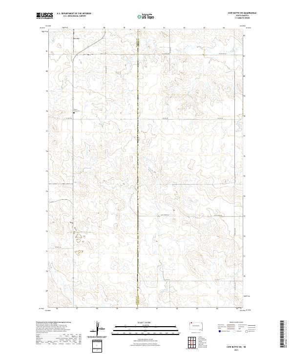
2021 Cow Butte SW
Perkins County, SD
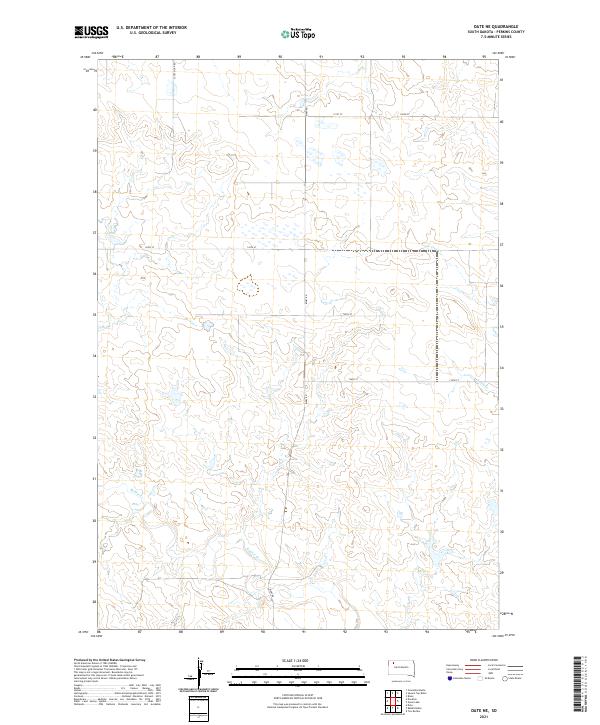
2021 Date NE
Perkins County, SD
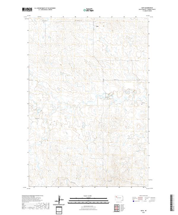
2021 Date
Perkins County, SD
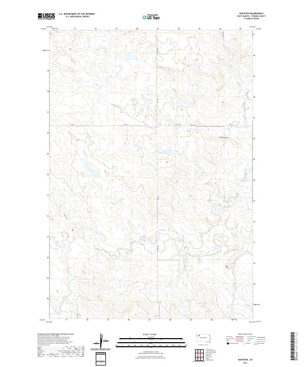
2021 Daviston
Perkins County, SD
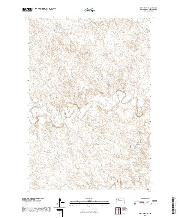
2021 Deep Creek NE
Perkins County, SD
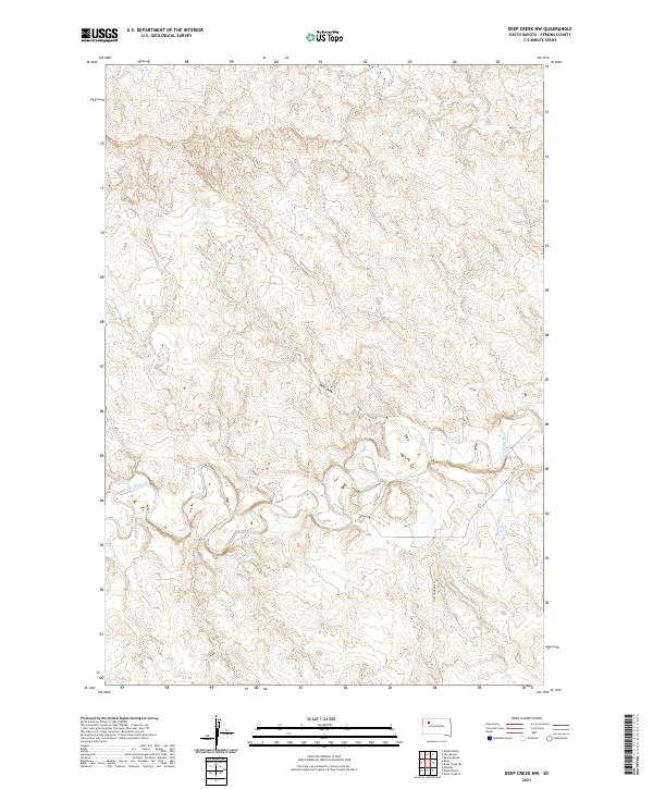
2021 Deep Creek NW
Perkins County, SD
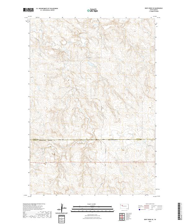
2021 Deep Creek SE
Perkins County, SD
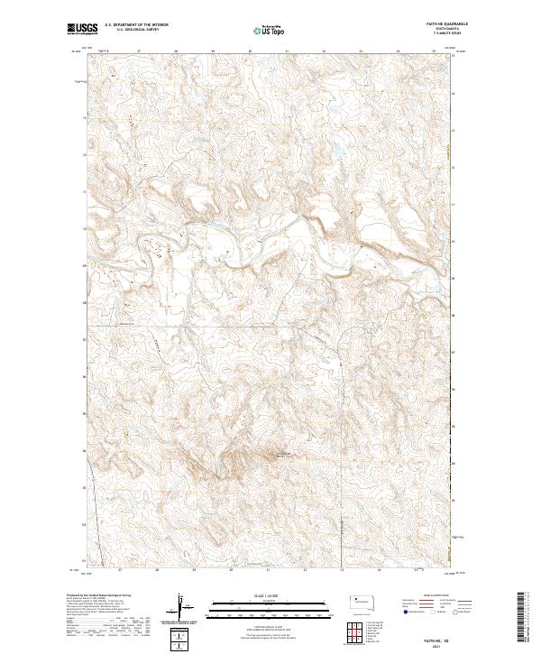
2021 Faith NE
Perkins County, SD
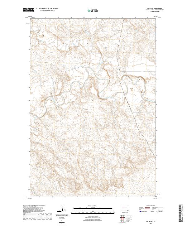
2021 Faith NW
Perkins County, SD

2021 Faith SW
Perkins County, SD
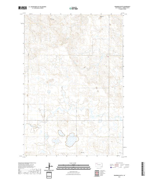
2021 Grandmas Butte
Perkins County, SD
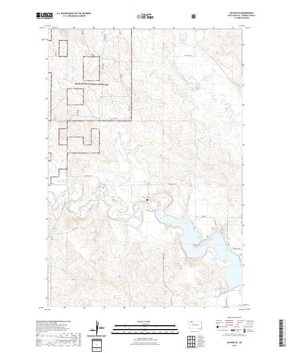
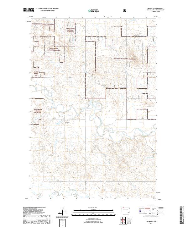
2021 Haynes SE
Perkins County, SD
2021 Haynes SW
Perkins County, SD
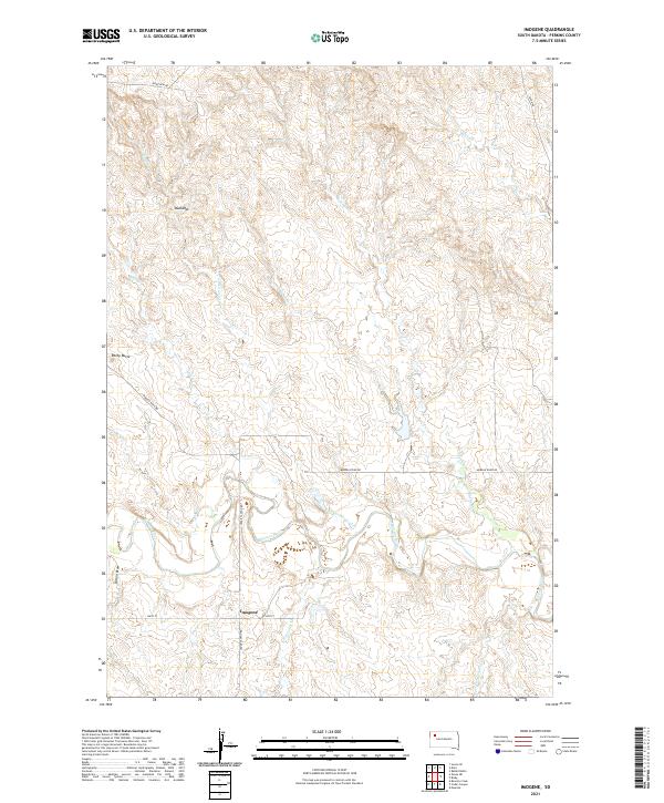
2021 Imogene
Perkins County, SD
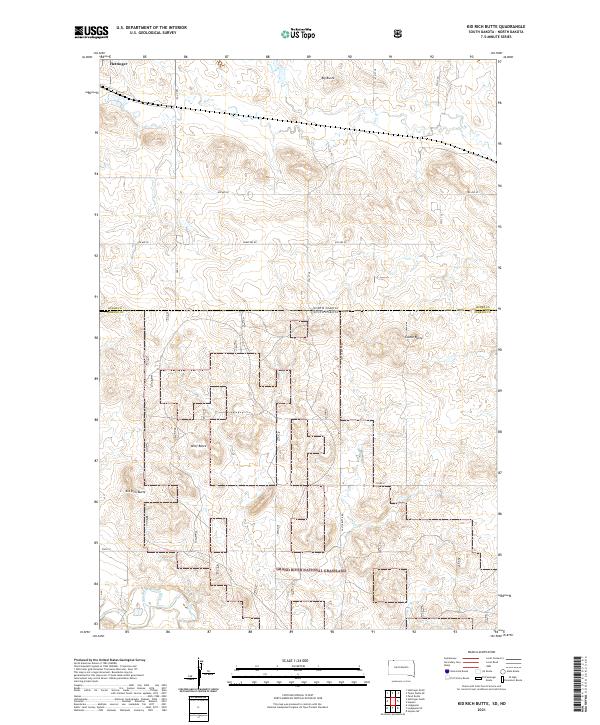
2021 Kid Rich Butte
Perkins County, SD
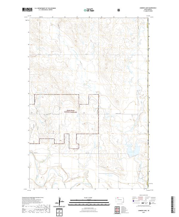
2021 Lemmon Lake
Perkins County, SD
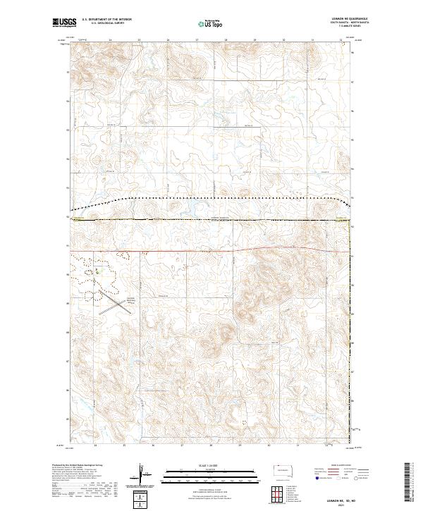
2021 Lemmon NE
Perkins County, SD
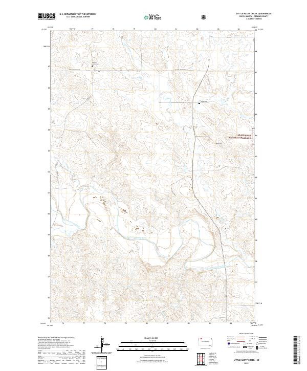
2021 Little Nasty Creek
Perkins County, SD
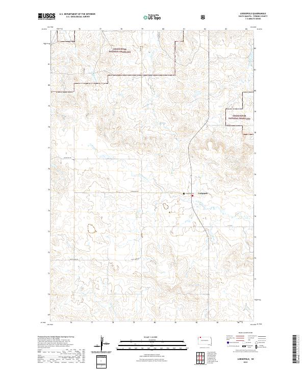
2021 Lodgepole
Perkins County, SD
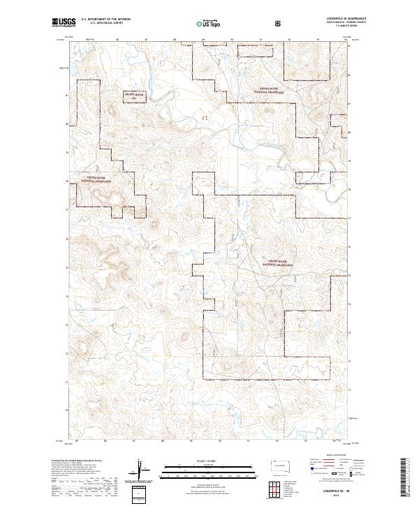
2021 Lodgepole SE
Perkins County, SD
2021 Maurine
Perkins County, SD
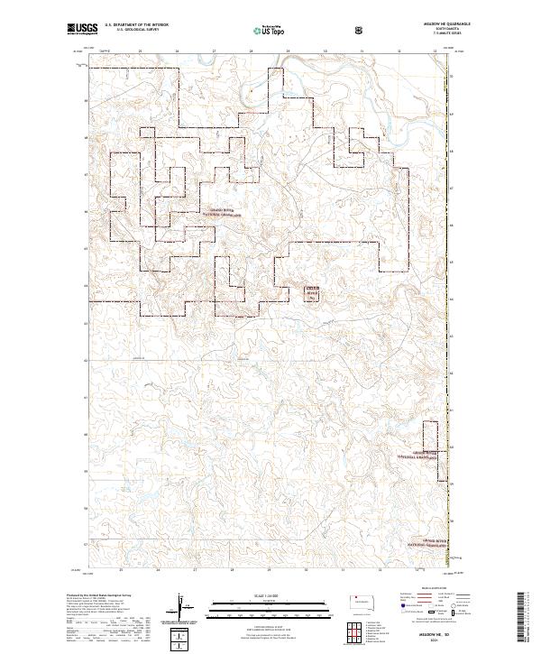
2021 Meadow NE
Perkins County, SD

2021 Meadow NW
Perkins County, SD
2021 Meadow
Perkins County, SD
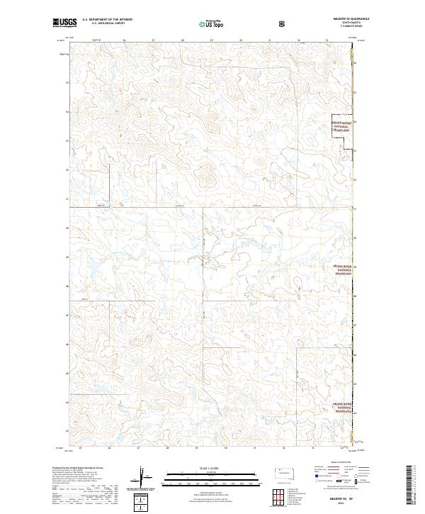
2021 Meadow SE
Perkins County, SD
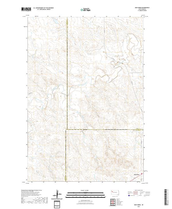
2021 Mud Creek
Perkins County, SD
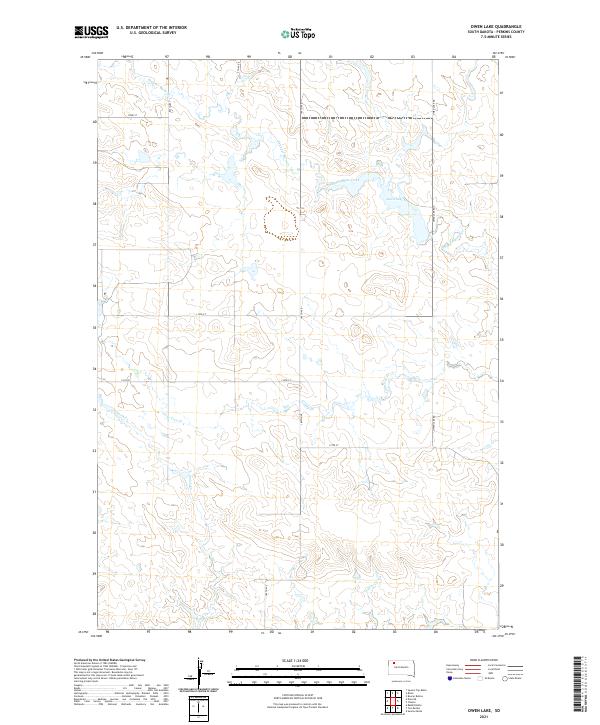
2021 Owen Lake
Perkins County, SD
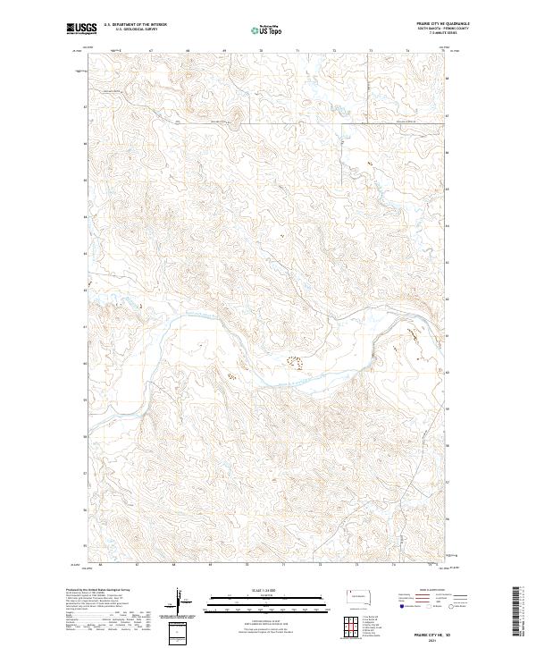
2021 Prairie City NE
Perkins County, SD
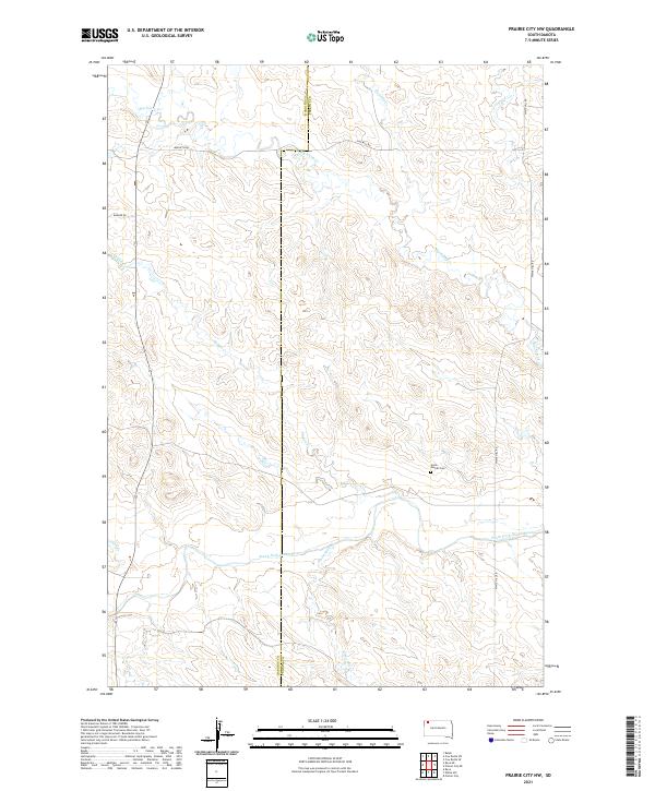
2021 Prairie City NW
Perkins County, SD
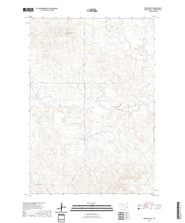
2021 Rabbit Butte
Perkins County, SD

2021 Signal Butte
Perkins County, SD
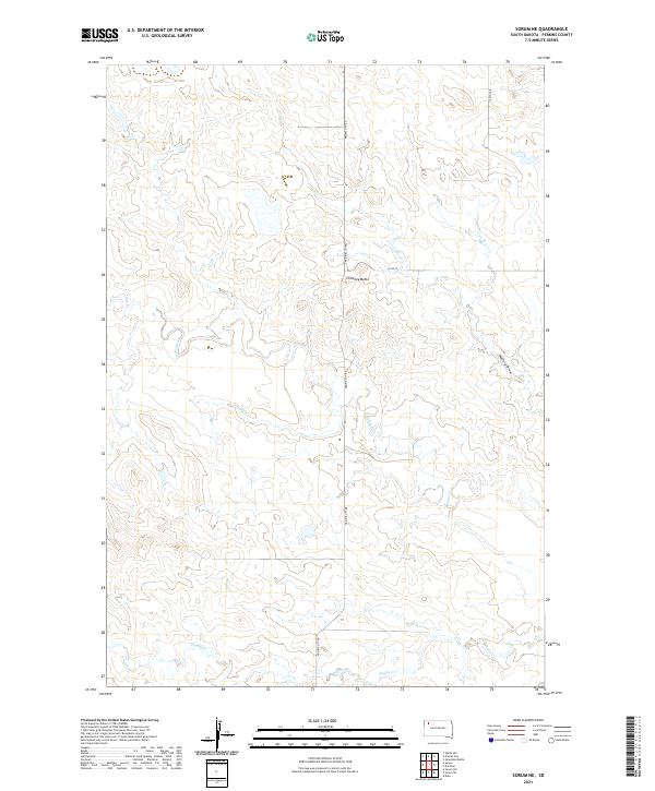
2021 Sorum NE
Perkins County, SD
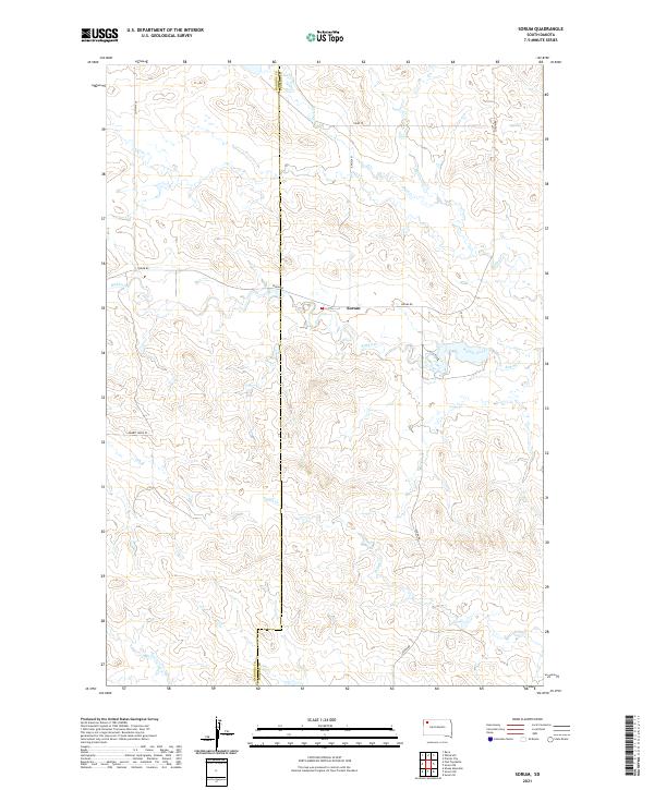
2021 Sorum
Perkins County, SD
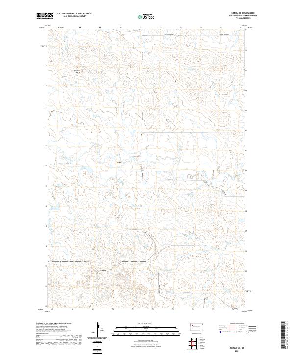
2021 Sorum SE
Perkins County, SD
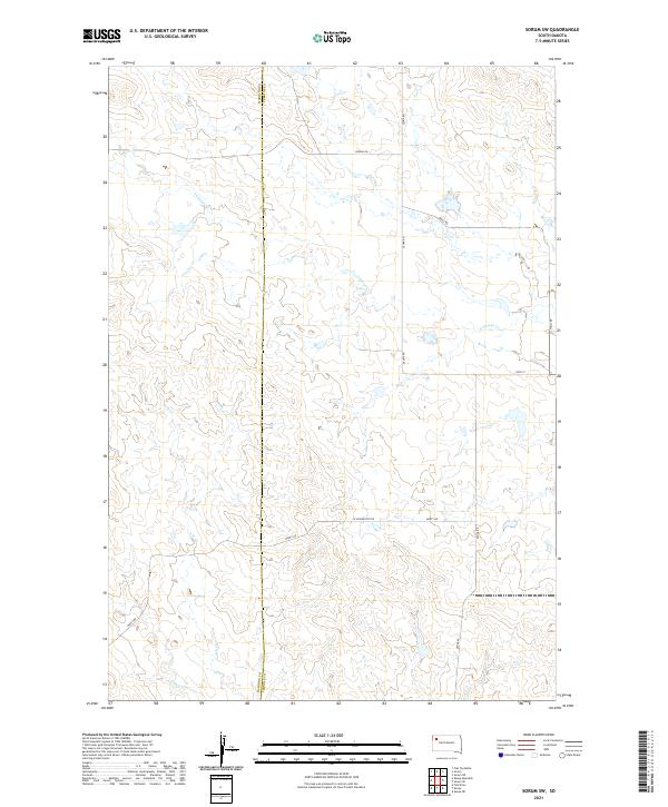
2021 Sorum SW
Perkins County, SD
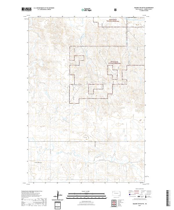
2021 Square Top Butte
Perkins County, SD
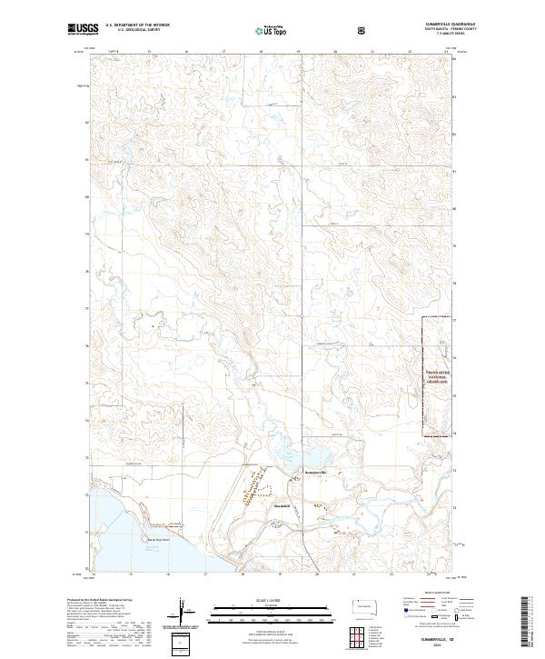
2021 Summerville
Perkins County, SD
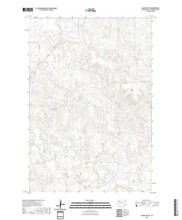
2021 Sunrise Butte
Perkins County, SD
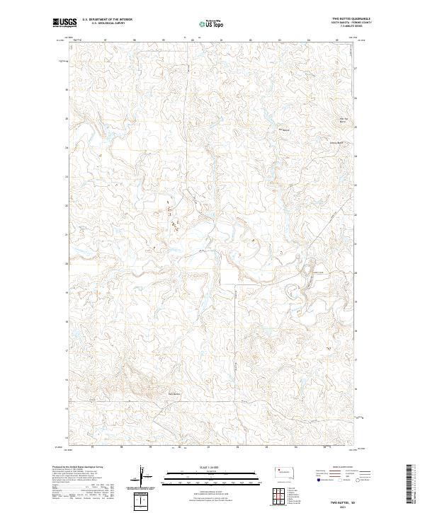
2021 Two Buttes
Perkins County, SD
2021 White Butte
Perkins County, SD
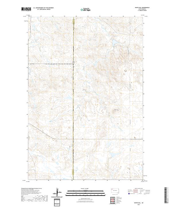
2021 White Hill
Perkins County, SD
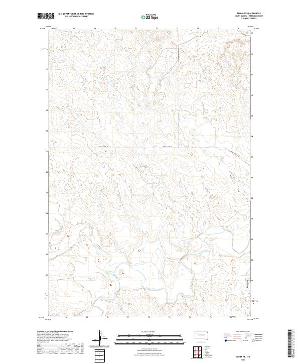
2021 Zeona NE
Perkins County, SD
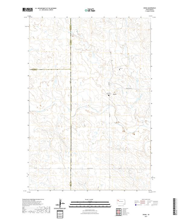
2021 Zeona
Perkins County, SD