
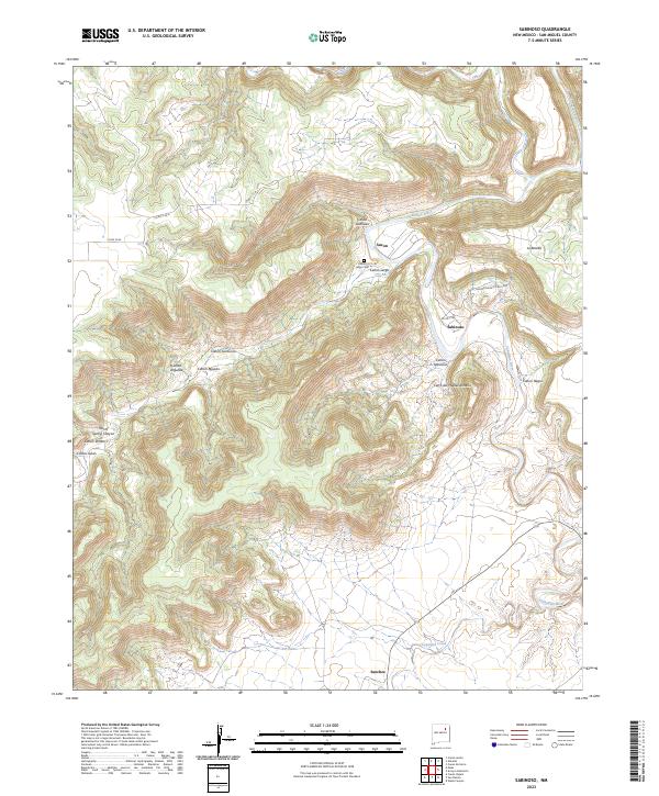
2023 Map of Sapello
USGS Topo · Published 2023About this map
The Sapello River and Manuelitas Creek converge in this northern New Mexico landscape, shaping a series of narrow valleys where small settlements have long been established. In the southern portion of the sheet, the community of Sapello sits near the river's bend, while upstream travelers encounter San Ignacio and its associated San Ignacio Cem. The northern terrain is defined by a succession of canyons, including Cañon de Medio and Cañon de Horno, which drain toward the central valley systems.
Find a feature on this map
46 named features on this map. Tap any name to fly to it.
Don’t see what you’re looking for? This feature index may not catch every label — zoom into the map to look around manually.
Map Details
Editions of this 2023 Sapello Map
This is the sole edition of this map. No revisions or reprints were ever made.
Historical Maps of Tierra Monte Through Time
165 maps found

1890 Bernal
San Miguel County, NM

1891 Bernal
San Miguel County, NM

1892 Corazon
San Miguel County, NM

1894 Bernal
San Miguel County, NM

1894 Corazon
San Miguel County, NM

1960 Apache Springs
San Miguel County, NM

1961 Cowles
San Miguel County, NM

1961 El Porvenir
San Miguel County, NM

1961 Honey Boy Ranch
San Miguel County, NM

1961 Lower Colonias
San Miguel County, NM

1961 Montezuma
San Miguel County, NM

1961 Ojitos Frios
San Miguel County, NM

1961 Rosilla Peak
San Miguel County, NM

1961 San Geronimo
San Miguel County, NM

1963 Aurora
San Miguel County, NM

1963 Cactus Tank
San Miguel County, NM

1963 Chaperito
San Miguel County, NM

1963 Elk Mountain
San Miguel County, NM

1963 Flagstone Mountain
San Miguel County, NM

1963 Jacinto Mesa
San Miguel County, NM

1963 Lake Isabel
San Miguel County, NM

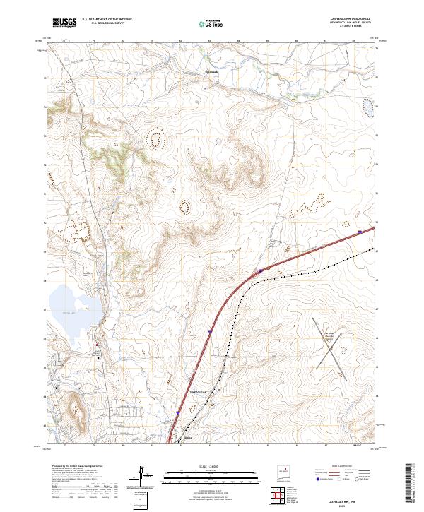
1963 Las Vegas NW
San Miguel County, NM

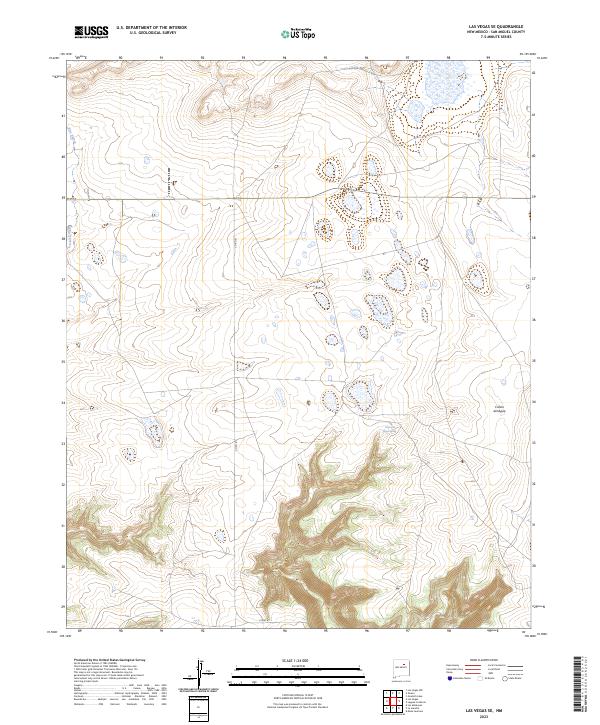
1963 Las Vegas SE
San Miguel County, NM

1963 Mesa Lauriano
San Miguel County, NM

1963 Onava
San Miguel County, NM

1963 Potrillo Hill
San Miguel County, NM

1963 San Juan
San Miguel County, NM

1964 Muniz Canyon
San Miguel County, NM

1965 Rociada
San Miguel County, NM

1965 Sapello
San Miguel County, NM

1966 Clines Corners
San Miguel County, NM

1966 El Cabo
San Miguel County, NM

1966 Laguna Ortiz
San Miguel County, NM

1966 Leyba
San Miguel County, NM

1966 Mesa El Toro
San Miguel County, NM

1966 Rencona
San Miguel County, NM

1967 Monument Point
San Miguel County, NM

1967 Tenaja Mesa
San Miguel County, NM

1967 Trinchera Creek
San Miguel County, NM

1968 Bascom Camp
San Miguel County, NM

1968 Carpenter Mesa NW
San Miguel County, NM

1968 Carpenter Mesa SW
San Miguel County, NM

1968 Hampton Ranch
San Miguel County, NM

1968 La Cinta Mesa
San Miguel County, NM

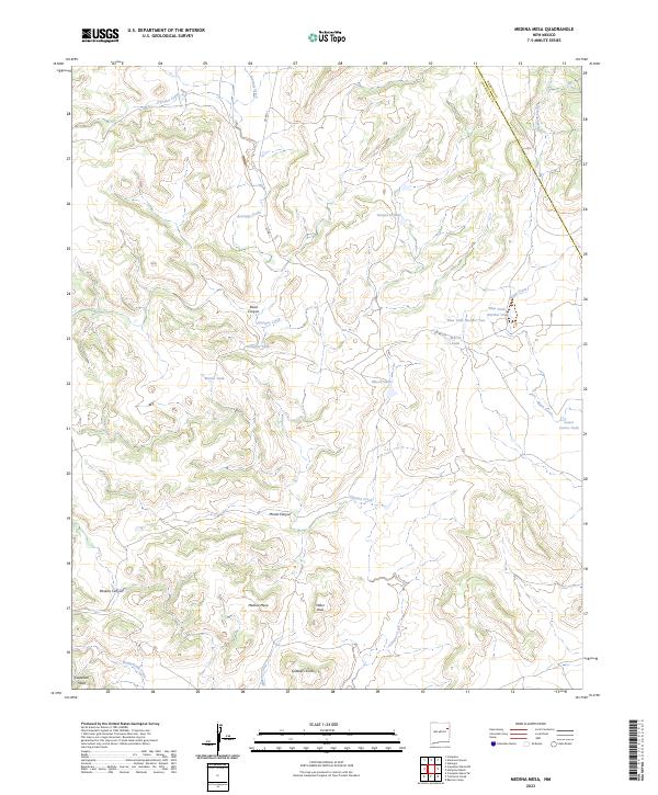
1968 Medina Mesa
San Miguel County, NM

1969 Alamosa Canyon
San Miguel County, NM

1969 Campana
San Miguel County, NM

1969 Chinaberry Canyon
San Miguel County, NM

1971 Canon Olguin
San Miguel County, NM

1971 Canon Pedroso
San Miguel County, NM

1971 Goetsch Lake
San Miguel County, NM

1971 Laguna Huerfana
San Miguel County, NM

1971 Laguna La Monia
San Miguel County, NM

1971 Trujillo
San Miguel County, NM

1972 Arroyo Alamocito
San Miguel County, NM

1972 Bell Ranch
San Miguel County, NM

1972 Bookout Ranch
San Miguel County, NM

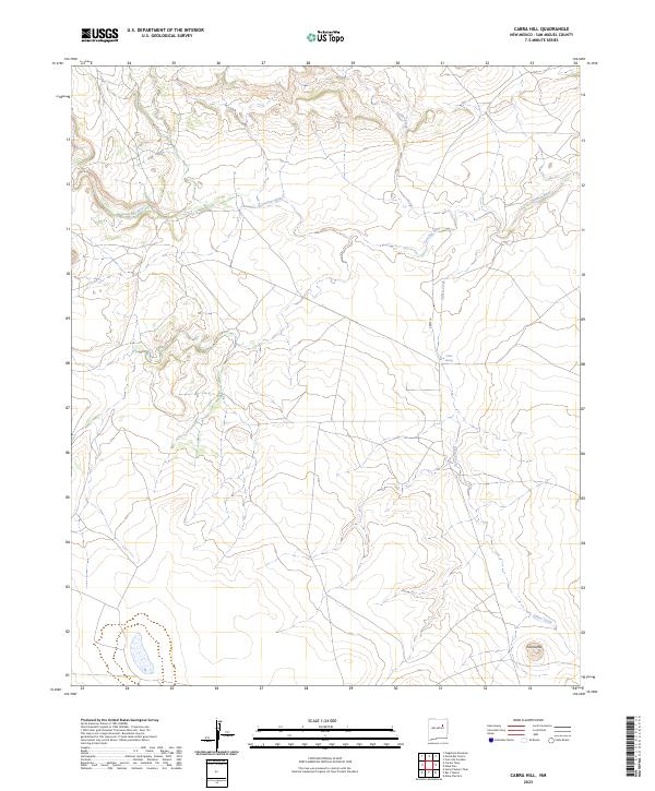
1972 Cabra Hill
San Miguel County, NM

1972 Cerro De Corazon
San Miguel County, NM

1972 Four V Ranch
San Miguel County, NM

1972 La Silla
San Miguel County, NM

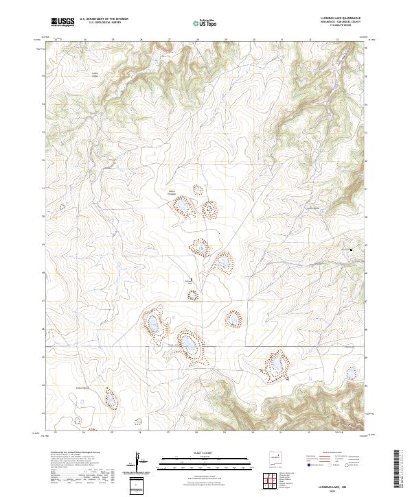
1972 Llonidas Lake
San Miguel County, NM

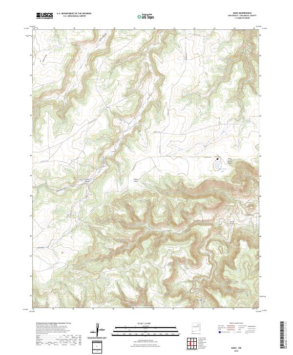
1972 Maes
San Miguel County, NM

1972 Mesa Pino
San Miguel County, NM

1972 Minese Mesa
San Miguel County, NM

1972 Montoya Point
San Miguel County, NM

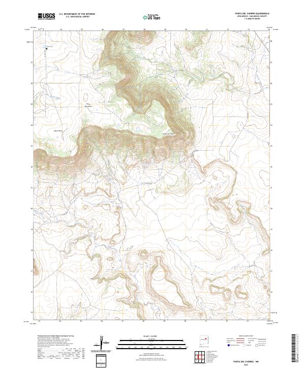
1972 Punta Del Chorro
San Miguel County, NM

1972 Sabinoso
San Miguel County, NM

1972 San Ramon
San Miguel County, NM

1972 Variadero
San Miguel County, NM

1972 Wade Canyon
San Miguel County, NM

1972 Waggoner Ranch
San Miguel County, NM

1989 La Liendre
San Miguel County, NM

1989 Los Montoyas
San Miguel County, NM

1989 Mesa Chupinas
San Miguel County, NM

1989 San Jose
San Miguel County, NM

2002 Apache Springs
San Miguel County, NM

2002 Aurora
San Miguel County, NM

2002 Cowles
San Miguel County, NM

2002 Elk Mountain
San Miguel County, NM

2002 El Porvenir
San Miguel County, NM

2002 Honey Boy Ranch
San Miguel County, NM

2002 Laguna Ortiz
San Miguel County, NM

2002 Leyba
San Miguel County, NM

2002 Lower Colonias
San Miguel County, NM

2002 Montezuma
San Miguel County, NM

2002 Ojitos Frios
San Miguel County, NM

2002 Rencona
San Miguel County, NM

2002 Rociada
San Miguel County, NM

2002 Rosilla Peak
San Miguel County, NM

2002 San Geronimo
San Miguel County, NM

2002 San Jose
San Miguel County, NM

2002 San Juan
San Miguel County, NM

2002 Sapello
San Miguel County, NM
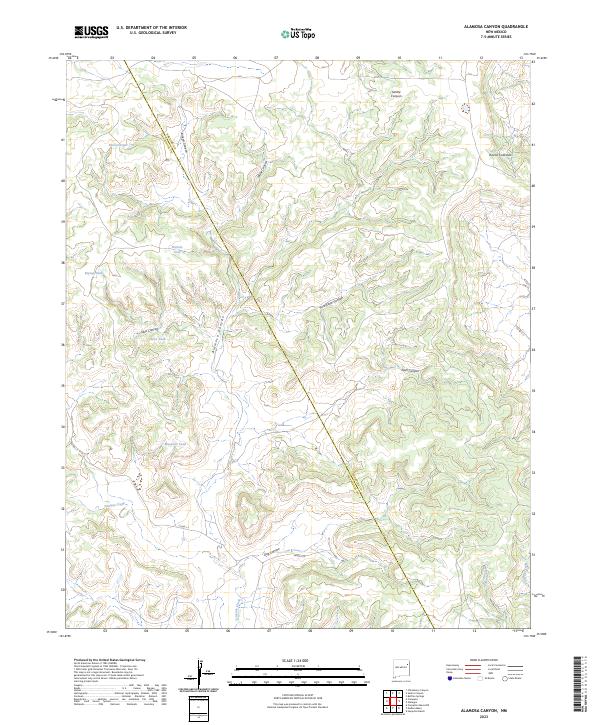
2023 Alamosa Canyon
San Miguel County, NM

2023 Apache Springs
San Miguel County, NM
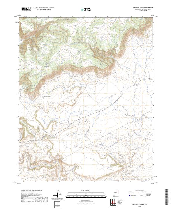
2023 Arroyo Alamocito
San Miguel County, NM

2023 Aurora
San Miguel County, NM
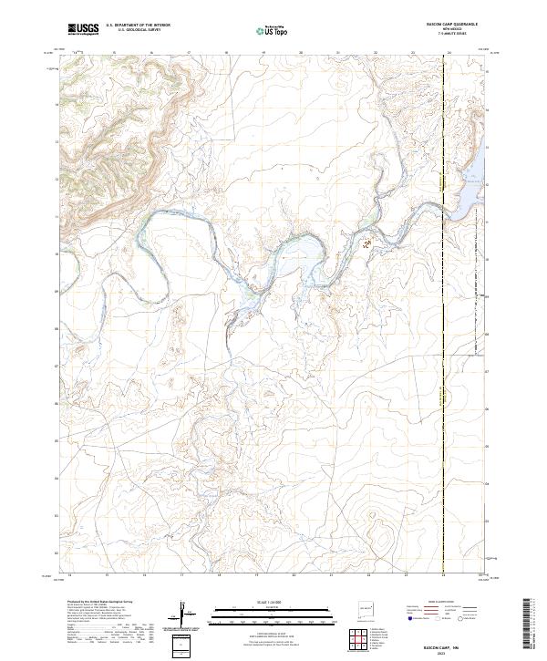
2023 Bascom Camp
San Miguel County, NM

2023 Bell Ranch
San Miguel County, NM
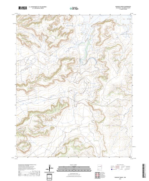
2023 Bookout Ranch
San Miguel County, NM
2023 Cabra Hill
San Miguel County, NM
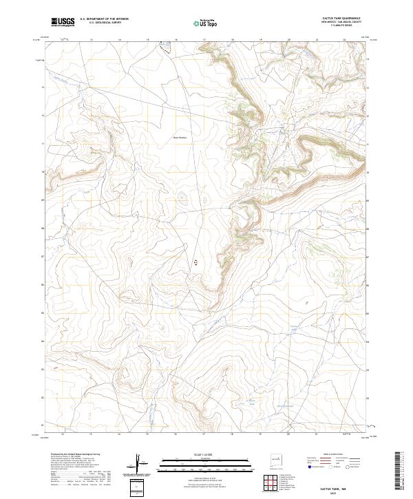
2023 Cactus Tank
San Miguel County, NM
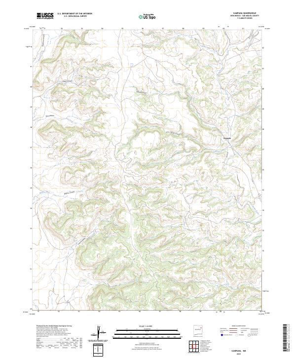
2023 Campana
San Miguel County, NM
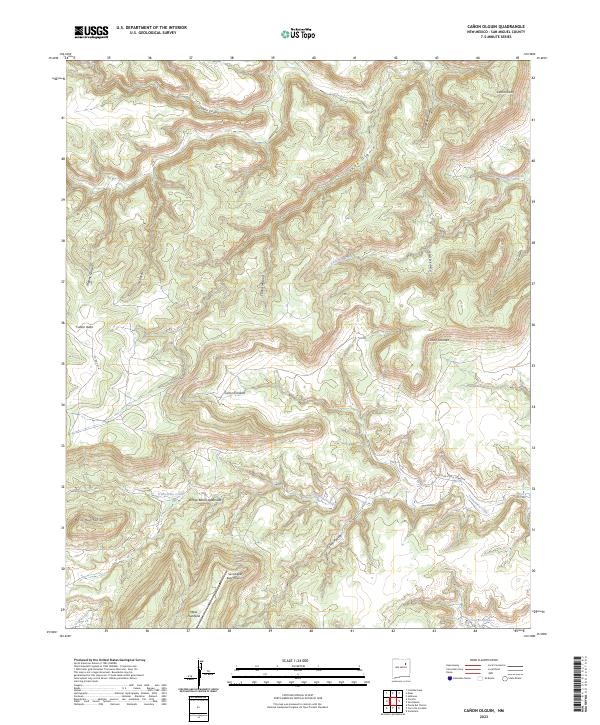
2023 Canon Olguin
San Miguel County, NM
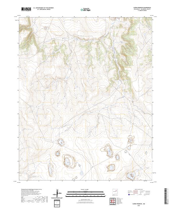
2023 Canon Pedroso
San Miguel County, NM
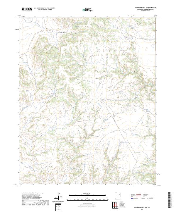
2023 Carpenter Mesa NW
San Miguel County, NM
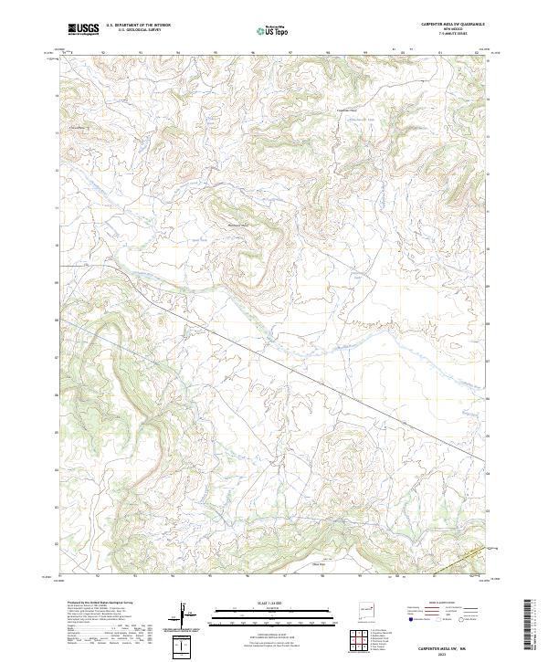
2023 Carpenter Mesa SW
San Miguel County, NM
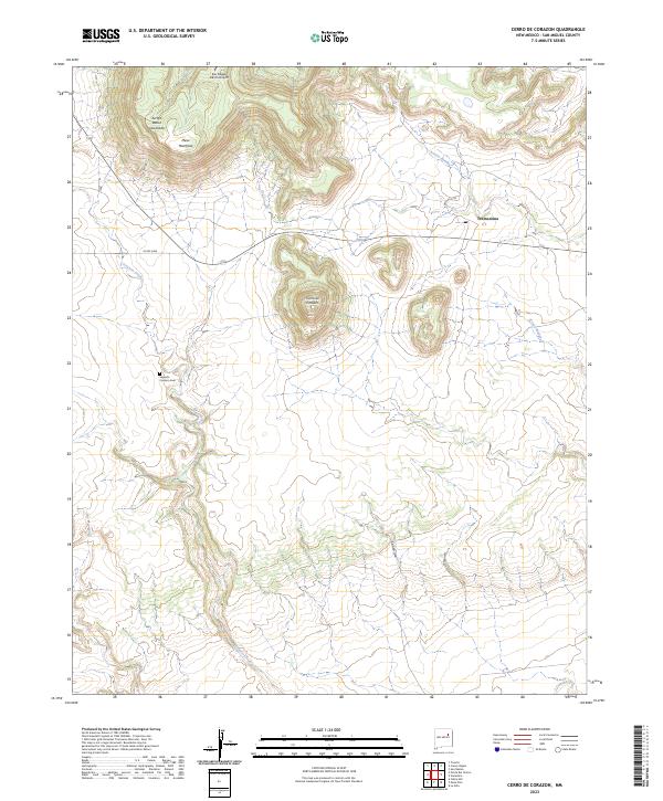
2023 Cerro De Corazon
San Miguel County, NM
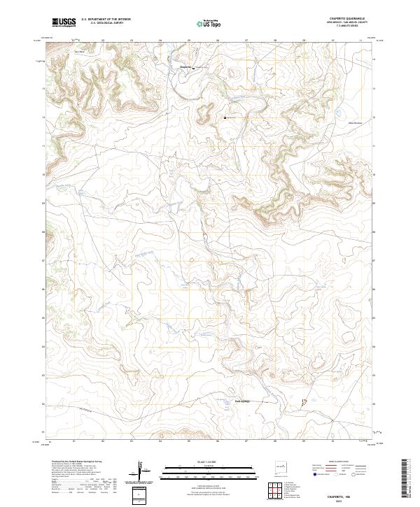
2023 Chaperito
San Miguel County, NM
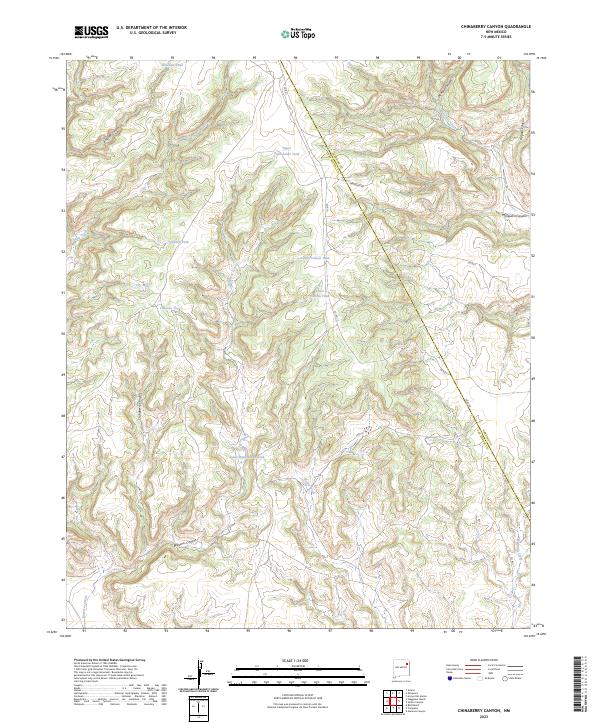
2023 Chinaberry Canyon
San Miguel County, NM
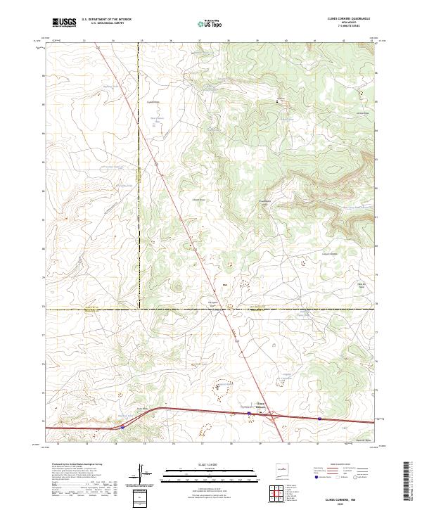
2023 Clines Corners
San Miguel County, NM

2023 Cowles
San Miguel County, NM

2023 El Cabo
San Miguel County, NM

2023 Elk Mountain
San Miguel County, NM

2023 El Porvenir
San Miguel County, NM
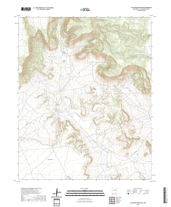
2023 Flagstone Mountain
San Miguel County, NM
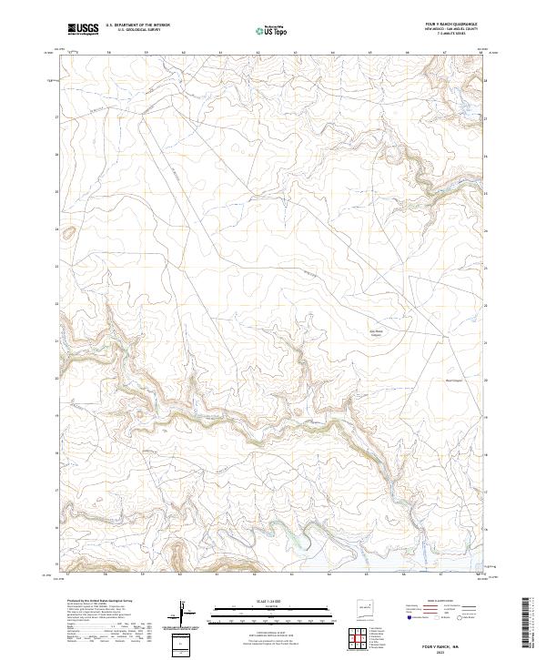
2023 Four V Ranch
San Miguel County, NM

2023 Goetsch Lake
San Miguel County, NM
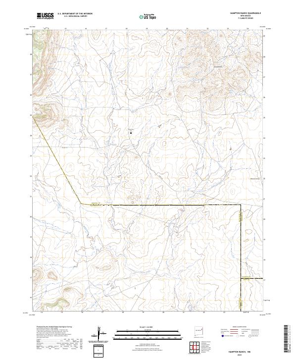
2023 Hampton Ranch
San Miguel County, NM

2023 Honey Boy Ranch
San Miguel County, NM

2023 Jacinto Mesa
San Miguel County, NM
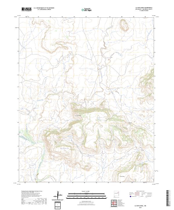
2023 La Cinta Mesa
San Miguel County, NM
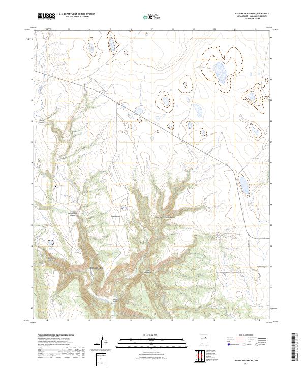
2023 Laguna Huerfana
San Miguel County, NM
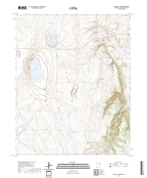
2023 Laguna La Monia
San Miguel County, NM

2023 Laguna Ortiz
San Miguel County, NM
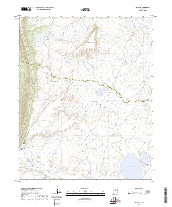
2023 Lake Isabel
San Miguel County, NM
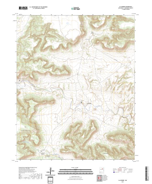
2023 La Liendre
San Miguel County, NM
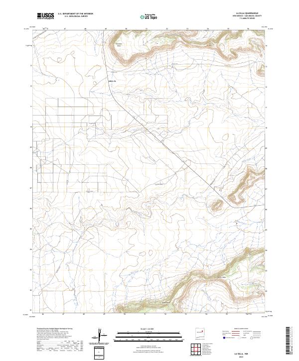
2023 La Silla
San Miguel County, NM
2023 Las Vegas NW
San Miguel County, NM
2023 Las Vegas SE
San Miguel County, NM

2023 Leyba
San Miguel County, NM
2023 Llonidas Lake
San Miguel County, NM

2023 Los Montoyas
San Miguel County, NM

2023 Lower Colonias
San Miguel County, NM
2023 Maes
San Miguel County, NM
2023 Medina Mesa
San Miguel County, NM

2023 Mesa Chupinas
San Miguel County, NM

2023 Mesa El Toro
San Miguel County, NM
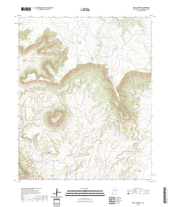
2023 Mesa Lauriano
San Miguel County, NM
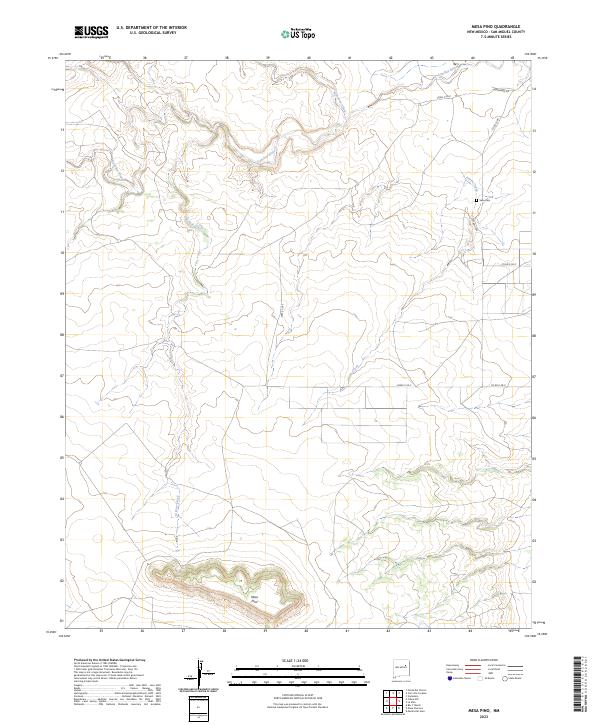
2023 Mesa Pino
San Miguel County, NM
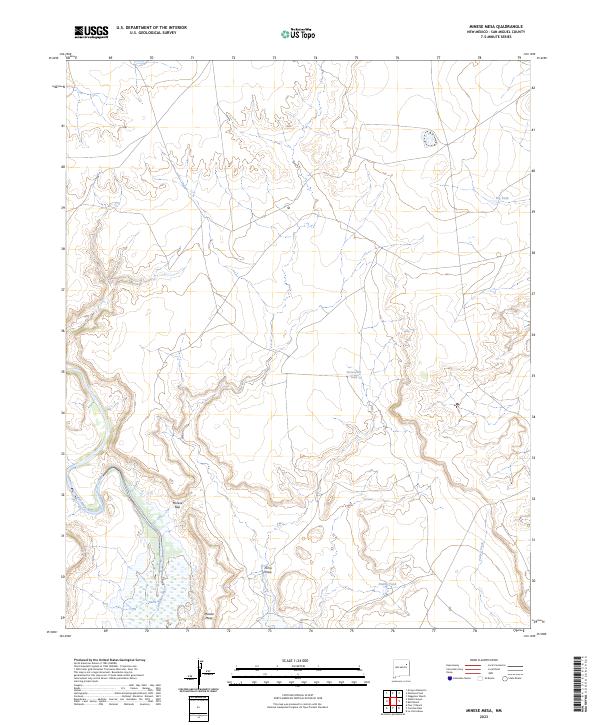
2023 Minese Mesa
San Miguel County, NM

2023 Montezuma
San Miguel County, NM
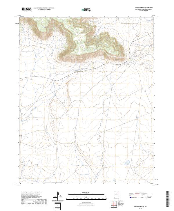
2023 Montoya Point
San Miguel County, NM
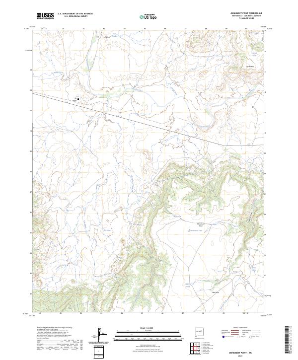
2023 Monument Point
San Miguel County, NM
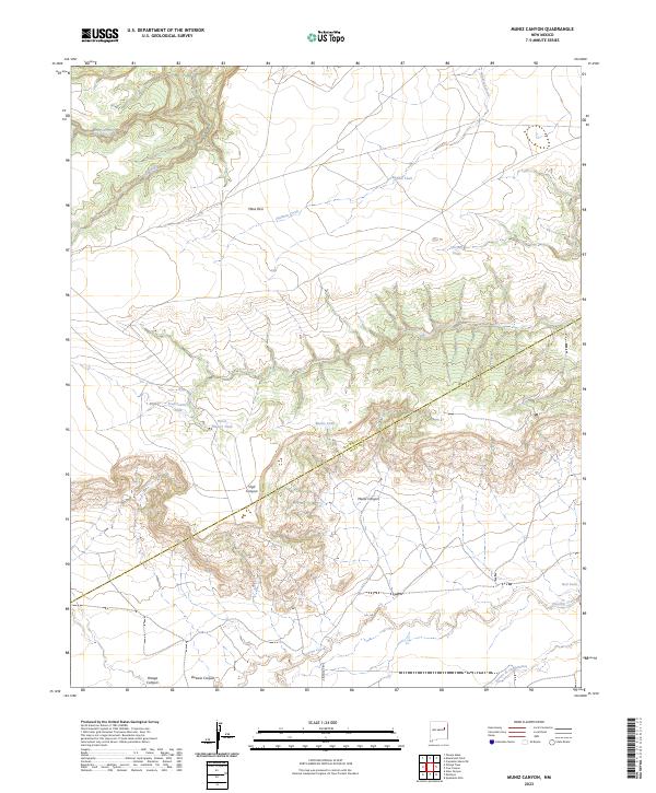
2023 Muniz Canyon
San Miguel County, NM

2023 Ojitos Frios
San Miguel County, NM
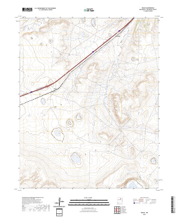
2023 Onava
San Miguel County, NM

2023 Potrillo Hill
San Miguel County, NM
2023 Punta Del Chorro
San Miguel County, NM

2023 Rencona
San Miguel County, NM

2023 Rociada
San Miguel County, NM

2023 Rosilla Peak
San Miguel County, NM
2023 Sabinoso
San Miguel County, NM

2023 San Geronimo
San Miguel County, NM

2023 San Jose
San Miguel County, NM

2023 San Juan
San Miguel County, NM

2023 San Ramon
San Miguel County, NM
2023 Sapello
San Miguel County, NM
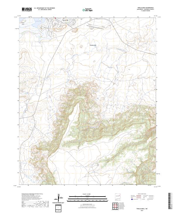
2023 Tenaja Mesa
San Miguel County, NM
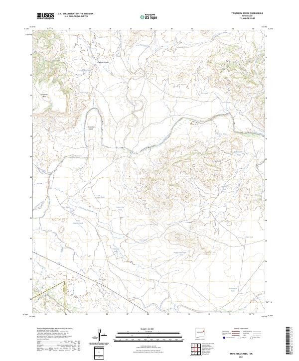
2023 Trinchera Creek
San Miguel County, NM
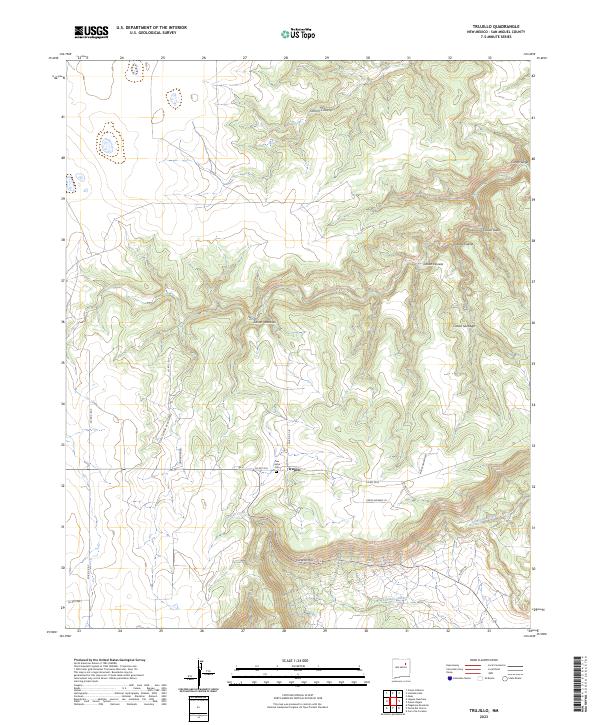
2023 Trujillo
San Miguel County, NM
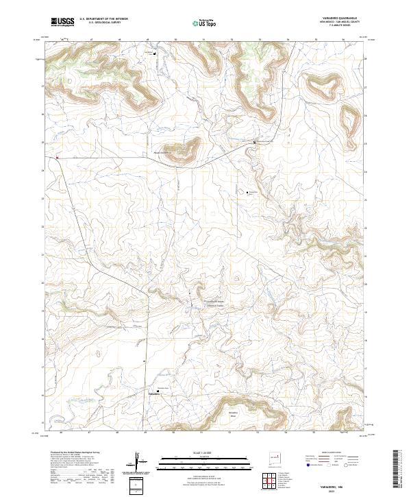
2023 Variadero
San Miguel County, NM
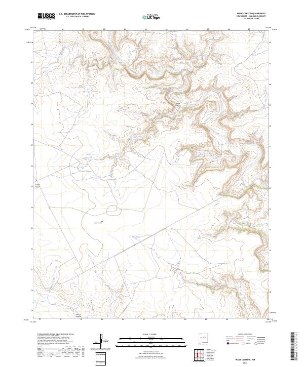
2023 Wade Canyon
San Miguel County, NM
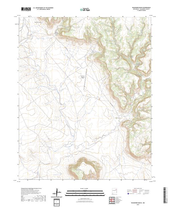
2023 Waggoner Ranch
San Miguel County, NM