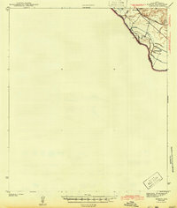
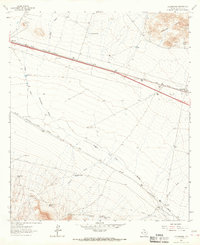
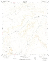
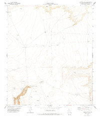
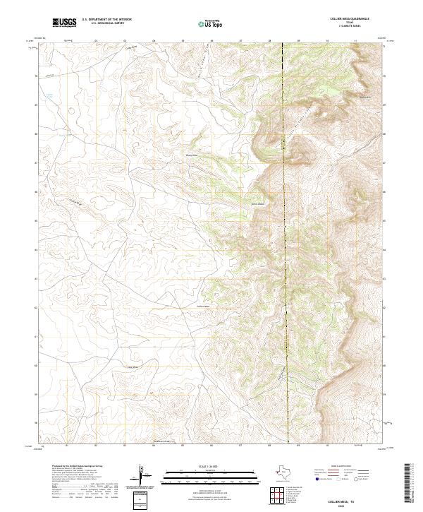
1973 Map of Collier Mesa
USGS Topo · Published 1976About this map
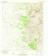
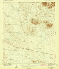
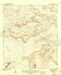
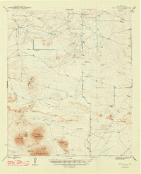
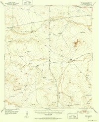
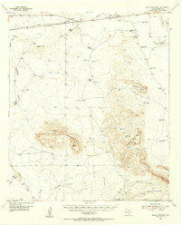
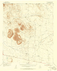
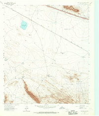
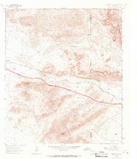
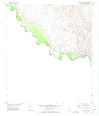
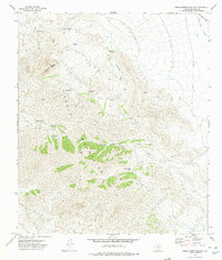
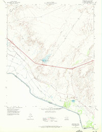
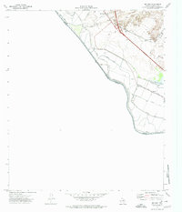
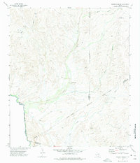
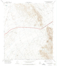
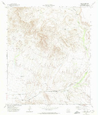
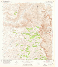
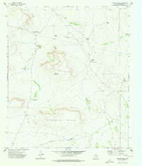
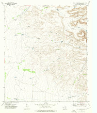
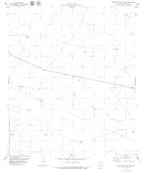
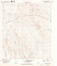
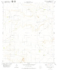
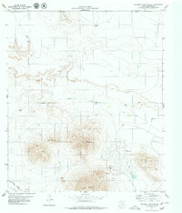
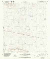
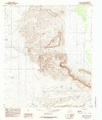
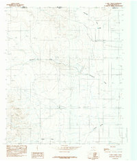
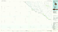
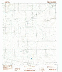
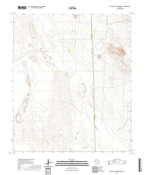
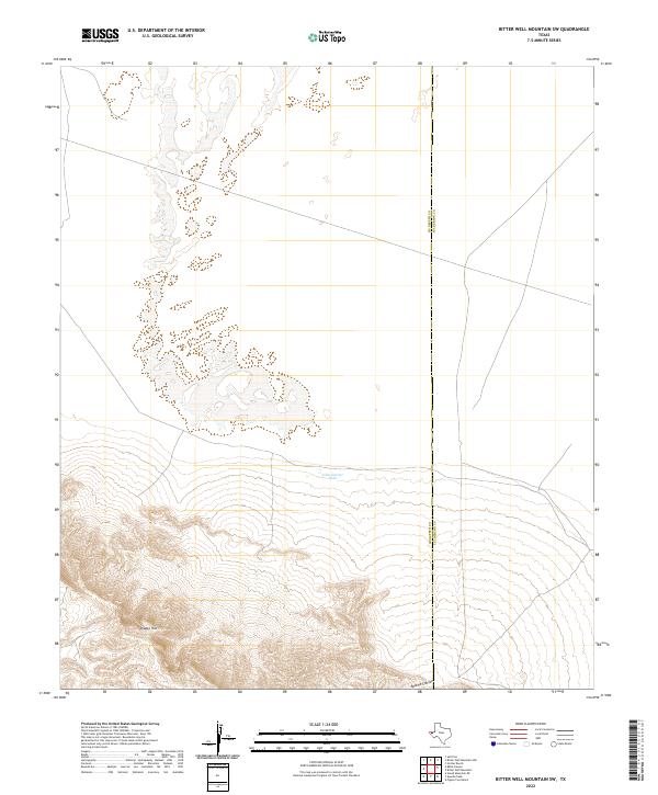
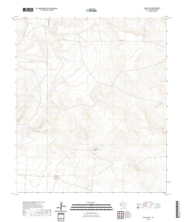
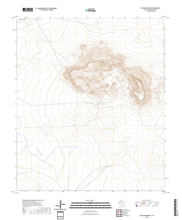
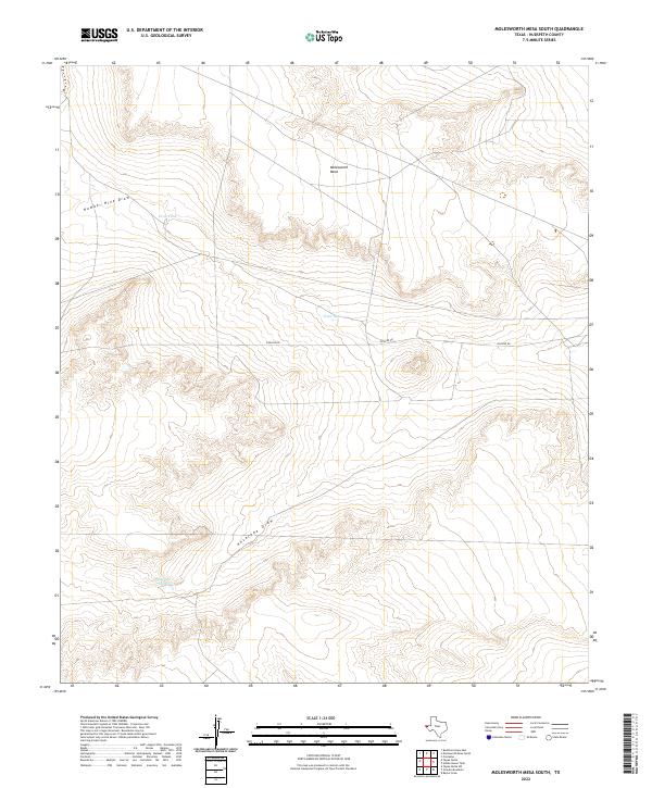
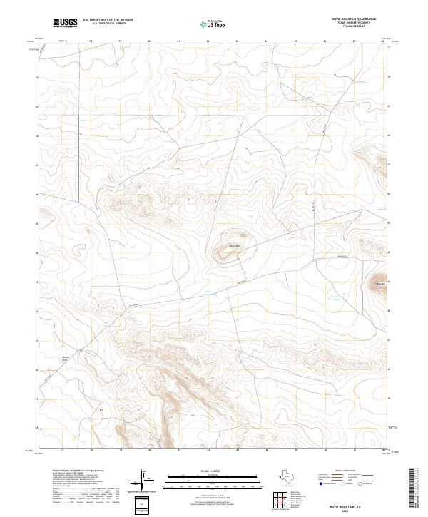
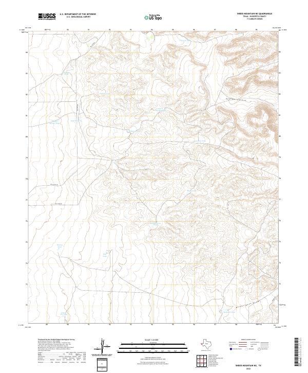
Sierra Diablo dominates this Trans-Pecos landscape, where dramatic elevation changes define the boundary between Hudspeth and Culberson counties. The map records a series of prominent drainage systems including Cedar Draw, Dusty Draw, and Collier Draw, which reveal the erosional patterns across Collier Mesa. Human presence in this arid environment is sparsely marked by isolated infrastructure like the McAdoo Ranch and various water catchments such as Dusty Tank and Cedar Tank. A network of Jeep Trails provides the primary means of navigating the high desert floor and the steep approach to the Rim. The inclusion of an Indefinite Boundary and the jagged contours of Victorio Canyon highlight the complex topography that historically challenged surveyors and ranchers alike in this corner of the Far West.
Find a feature on this map
18 named features on this map. Tap any name to fly to it.
Don’t see what you’re looking for? This feature index may not catch every label — zoom into the map to look around manually.
Map Details
Editions of this 1973 Collier Mesa Map
This is the sole edition of this map. No revisions or reprints were ever made.
Historical Maps of Hudspeth County Through Time
165 maps found
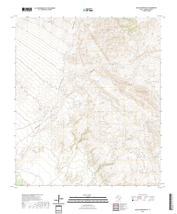
1897 Eagle Mountain
Hudspeth County, TX

1903 Cerro Alto
Hudspeth County, TX

1916 Eagle Mountain
Hudspeth County, TX
1941 Heuco Mountains
Hudspeth County, TX
1942 Borrego
Hudspeth County, TX

1943 Finlay Mountains
Hudspeth County, TX

1943 Fort Quitman
Hudspeth County, TX

1943 Heuco Mountains
Hudspeth County, TX
1943 McNary
Hudspeth County, TX
1943 San Antonio Mtn
Hudspeth County, TX
1943 Tepee Butte
Hudspeth County, TX
1948 Triple Hill
Hudspeth County, TX
1951 Red Hills
Hudspeth County, TX
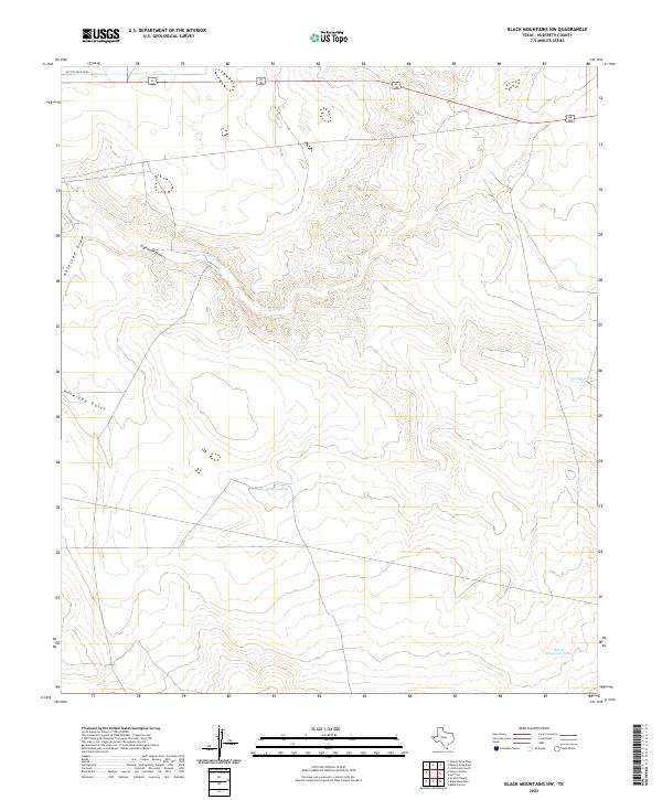
1955 Black Mountains
Hudspeth County, TX
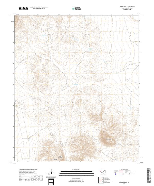
1955 Cerro Diablo
Hudspeth County, TX
1963 Grayton Lake
Hudspeth County, TX
1964 Allamoore
Hudspeth County, TX
1964 Bean Hills
Hudspeth County, TX
1964 Devil Ridge
Hudspeth County, TX
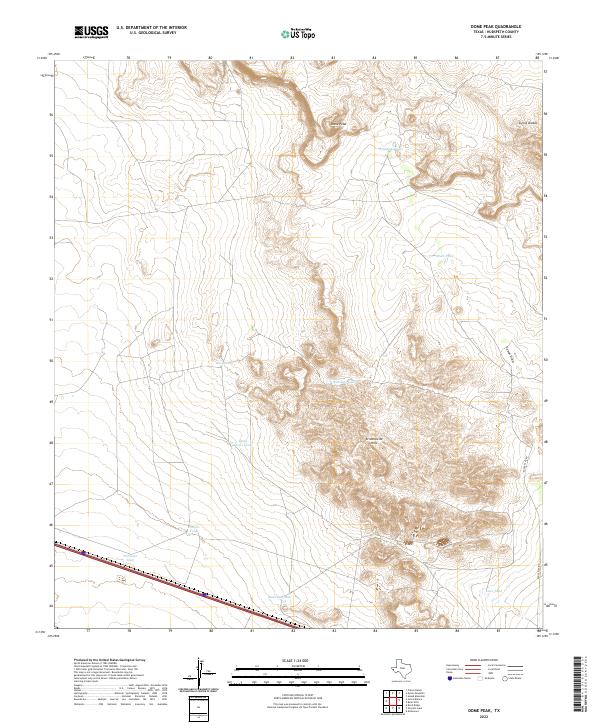
1964 Dome Peak
Hudspeth County, TX
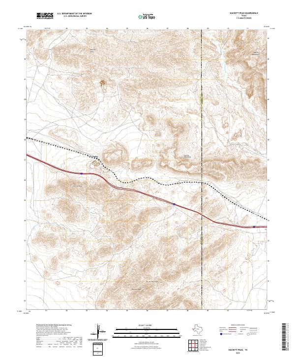
1964 Hackett Peak
Hudspeth County, TX

1964 Lasca
Hudspeth County, TX
1964 Sheep Peak
Hudspeth County, TX
1964 Sierra Blanca SW
Hudspeth County, TX
1972 Bass Canyon
Hudspeth County, TX
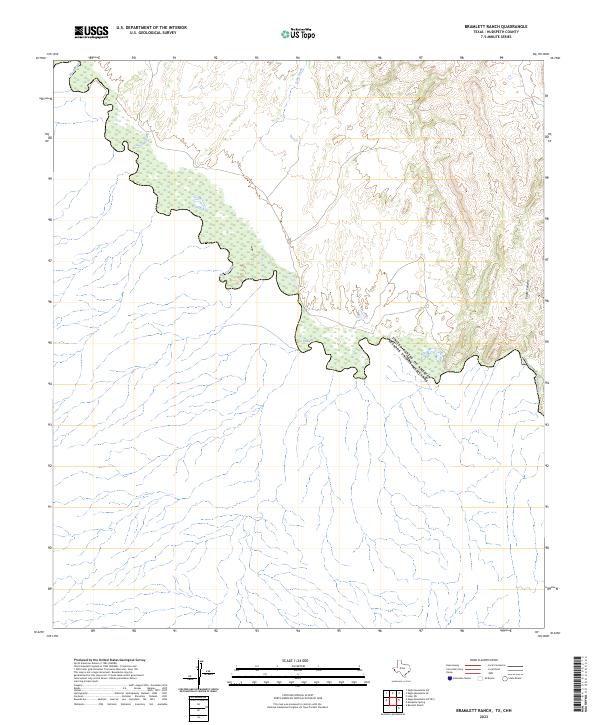
1972 Bramlett Ranch
Hudspeth County, TX
1972 Campo Grande Mountain
Hudspeth County, TX
1972 Cavett Lake
Hudspeth County, TX
1972 Cedar Arroyo
Hudspeth County, TX
1972 Eagle Mountains NE
Hudspeth County, TX
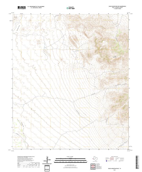
1972 Eagle Mountains NW
Hudspeth County, TX
1972 Eagle Mountains SE
Hudspeth County, TX
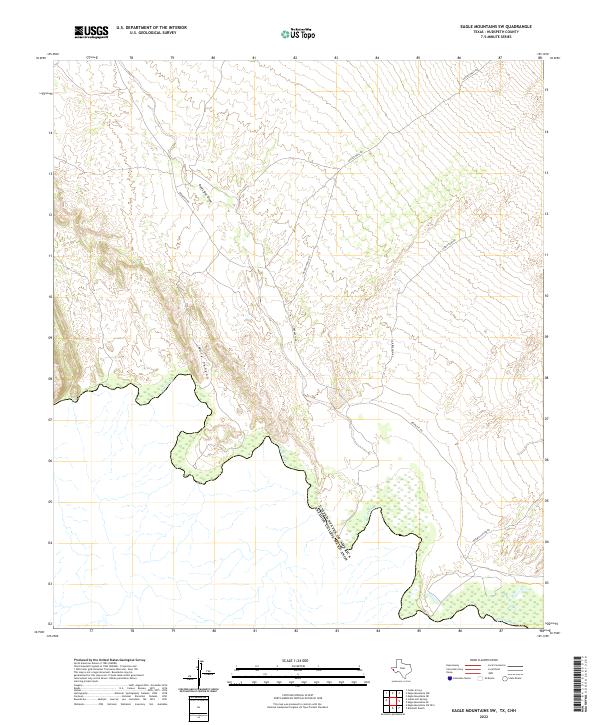
1972 Eagle Mountains SW
Hudspeth County, TX
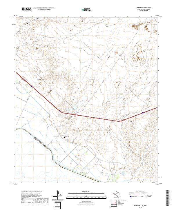
1972 Esperanza
Hudspeth County, TX
1972 Fort Hancock NW
Hudspeth County, TX
1972 Indian Hot Springs
Hudspeth County, TX
1972 Lobo SW
Hudspeth County, TX
1972 McNary
Hudspeth County, TX
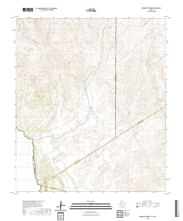
1972 Mesquite Spring
Hudspeth County, TX
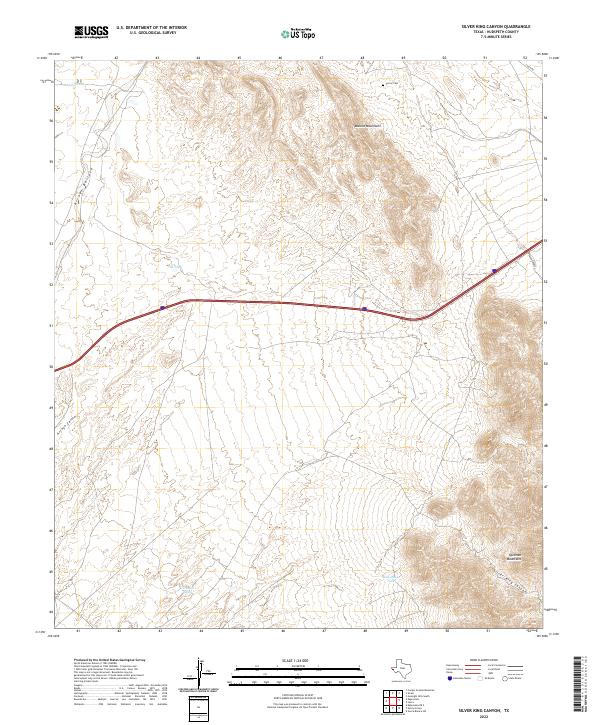
1972 Silver King Canyon
Hudspeth County, TX
1972 Small
Hudspeth County, TX
1973 Apache Peak
Hudspeth County, TX
1973 Bitter Well Mountain NW
Hudspeth County, TX
1973 Bitter Well Mountain SW
Hudspeth County, TX
1973 Collier Mesa
Hudspeth County, TX
1973 Movie Mountain
Hudspeth County, TX
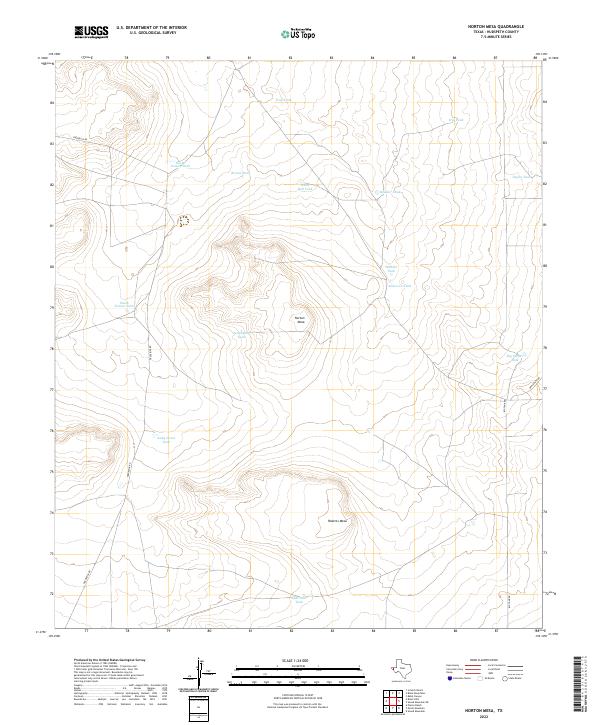
1973 Norton Mesa
Hudspeth County, TX
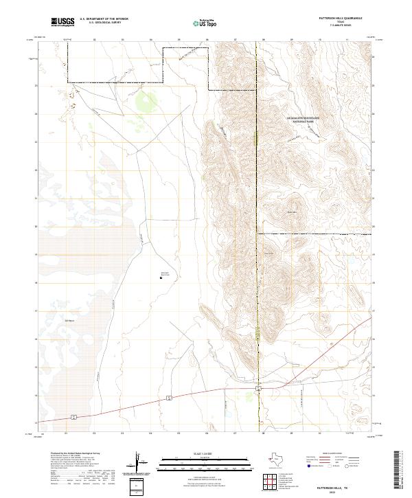
1973 Patterson Hills
Hudspeth County, TX
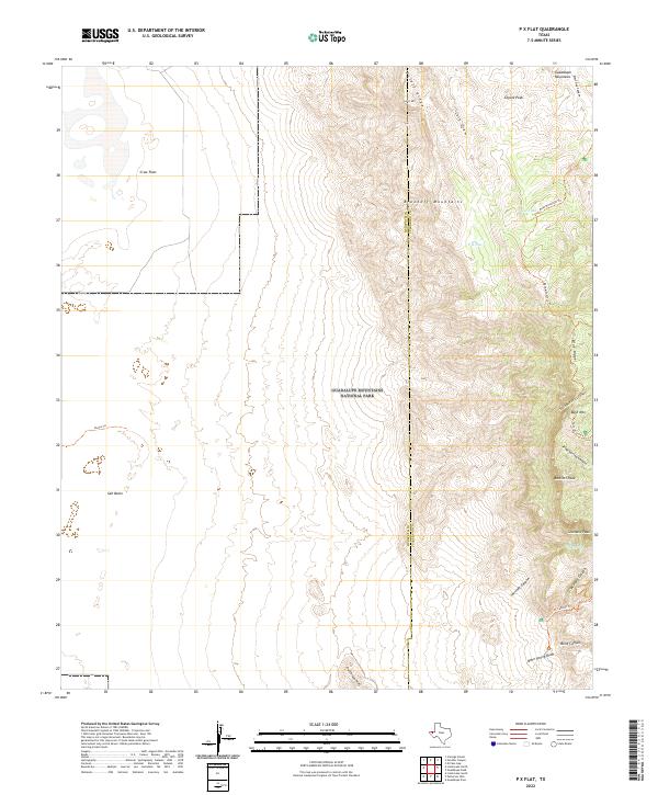
1973 P X Flat
Hudspeth County, TX
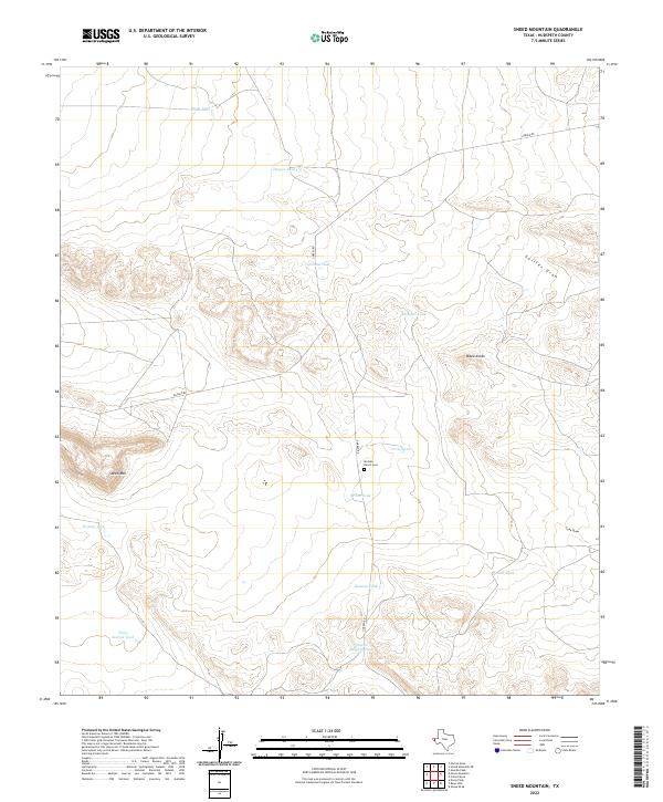
1973 Sneed Mountain
Hudspeth County, TX
1973 Sneed Mountain NE
Hudspeth County, TX
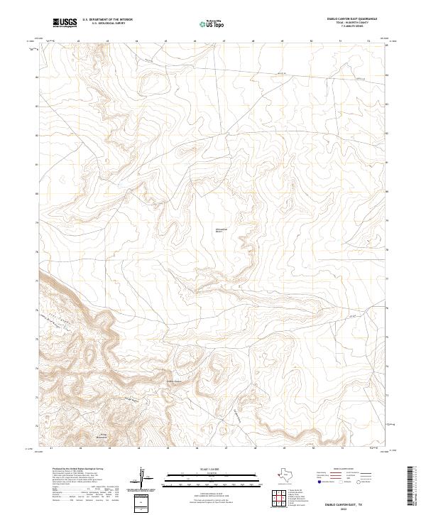
1977 Diablo Canyon East
Hudspeth County, TX
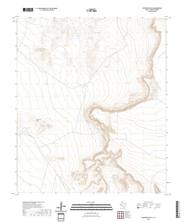
1977 Whiterock Hills
Hudspeth County, TX
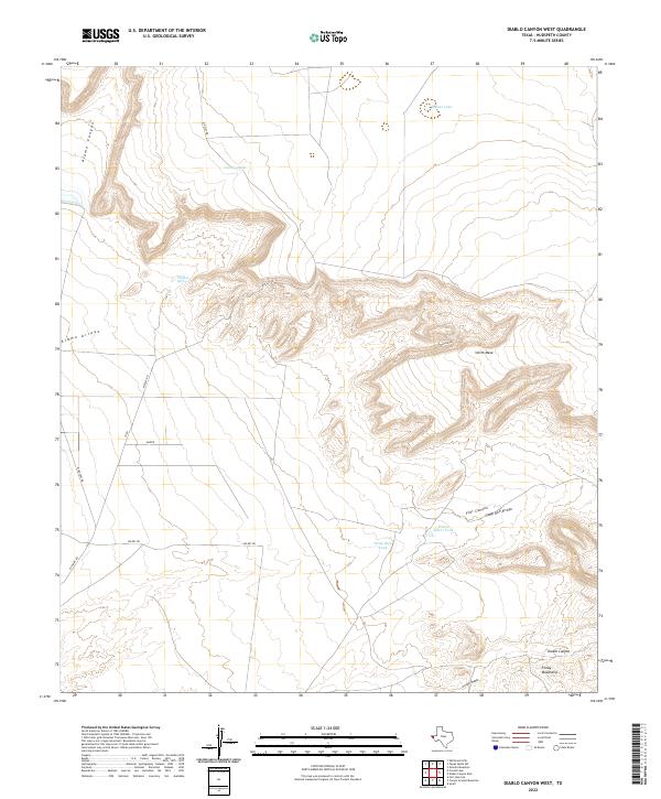
1978 Diablo Canyon West
Hudspeth County, TX
1978 Granite Mountain
Hudspeth County, TX
1978 Molesworth Mesa South
Hudspeth County, TX
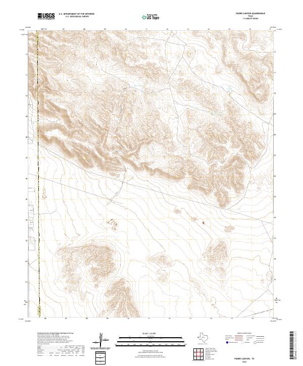
1978 Padre Canyon
Hudspeth County, TX
1978 Tepee Butte
Hudspeth County, TX
1978 Tepee Butte SW
Hudspeth County, TX
1978 T P Well
Hudspeth County, TX
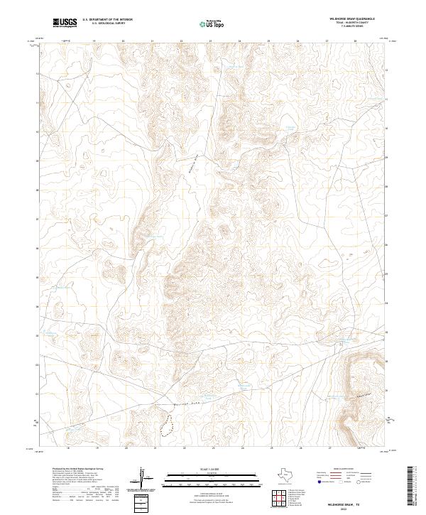
1978 Wildhorse Draw
Hudspeth County, TX
1979 Black Hills
Hudspeth County, TX
1979 Buckhorn Draw East
Hudspeth County, TX
1979 Buckhorn Draw West
Hudspeth County, TX
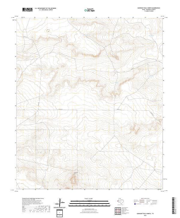
1979 Gunsight Hills North
Hudspeth County, TX
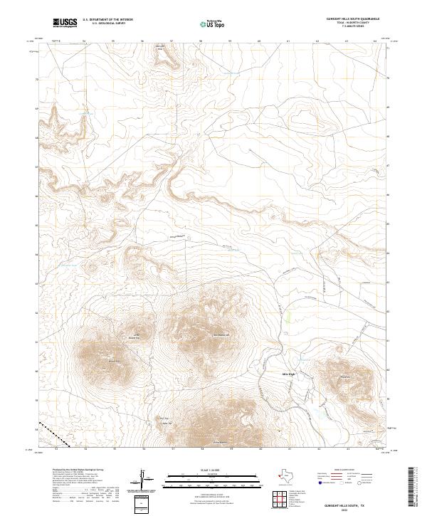
1979 Gunsight Hills South
Hudspeth County, TX
1979 Molesworth Mesa North
Hudspeth County, TX
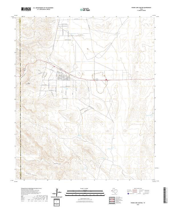
1979 Phone Line Canyon
Hudspeth County, TX
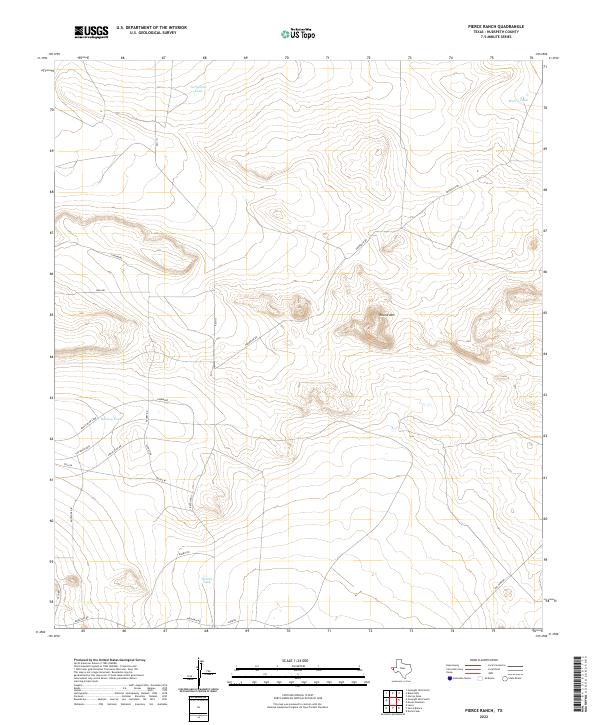
1979 Pierce Ranch
Hudspeth County, TX
1984 Adobe House Tank
Hudspeth County, TX
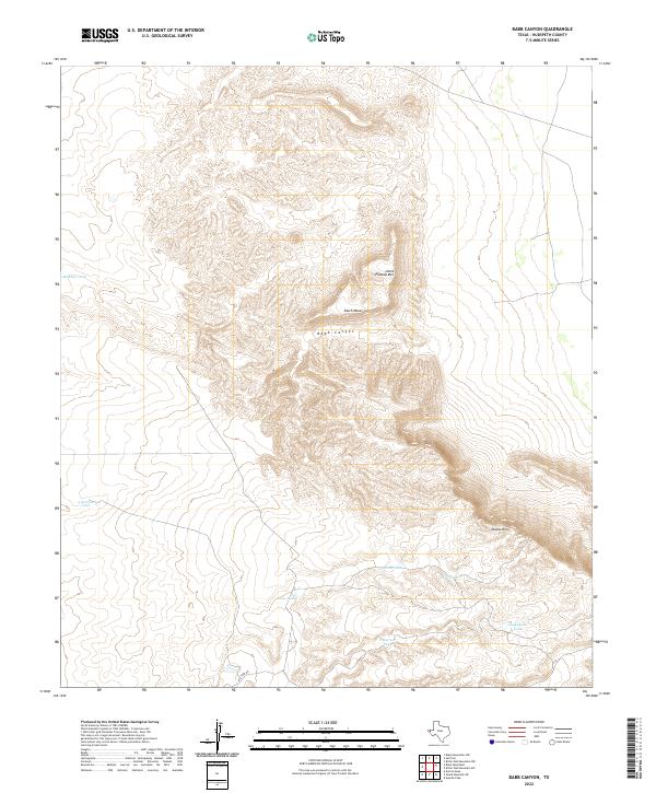
1984 Babb Canyon
Hudspeth County, TX
1984 Baylor Draw
Hudspeth County, TX
1984 Black Mountains
Hudspeth County, TX
1984 Black Mountains NW
Hudspeth County, TX
1984 C and L Draw
Hudspeth County, TX
1984 Cerro Diablo
Hudspeth County, TX
1984 Cornudas
Hudspeth County, TX
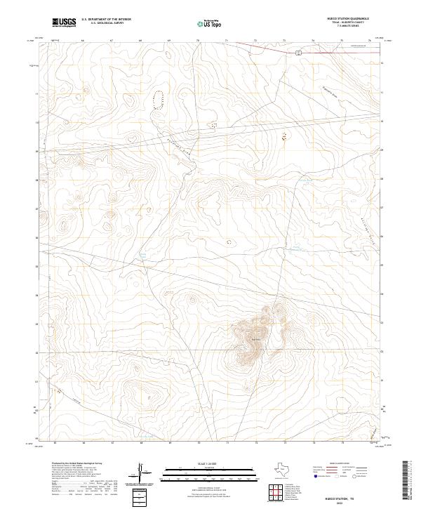
1984 Hueco Station
Hudspeth County, TX
1984 Indian Hot Springs
Hudspeth County, TX
1984 Linda Lake North
Hudspeth County, TX
1984 Linda Lake South
Hudspeth County, TX
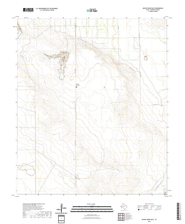
1984 Mickey Draw East
Hudspeth County, TX
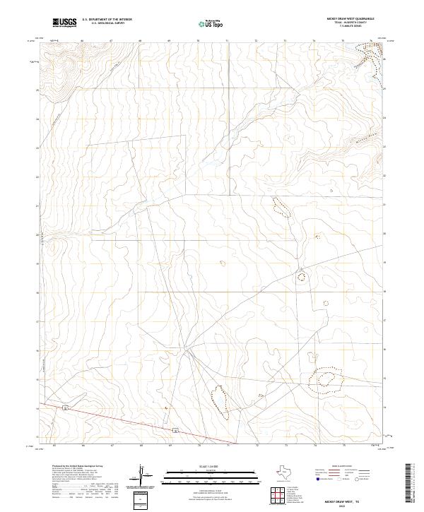
1984 Mickey Draw West
Hudspeth County, TX
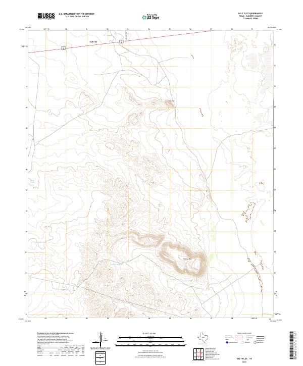
1984 Salt Flat
Hudspeth County, TX
1984 Scratch Ranch
Hudspeth County, TX
1993 Indian Hot Springs
Hudspeth County, TX
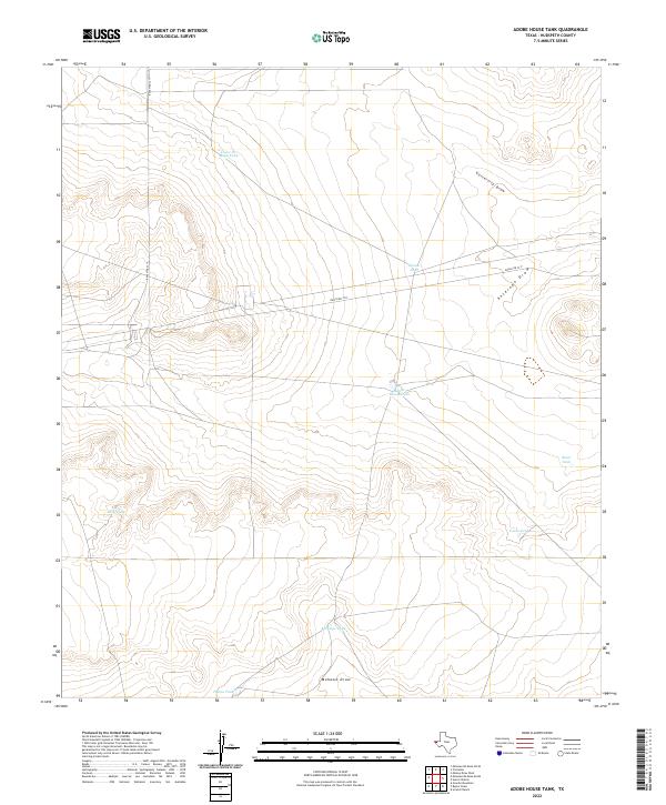
2022 Adobe House Tank
Hudspeth County, TX
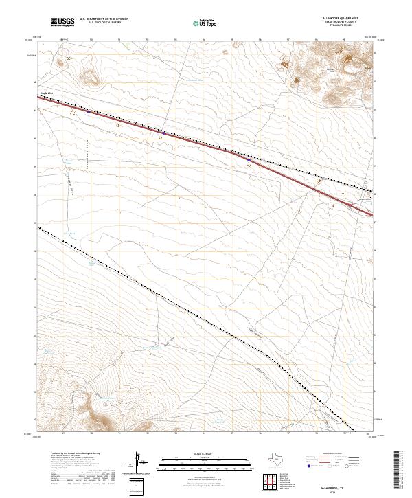
2022 Allamoore
Hudspeth County, TX
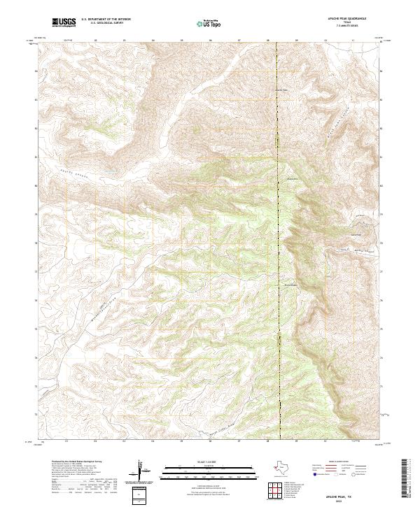
2022 Apache Peak
Hudspeth County, TX
2022 Babb Canyon
Hudspeth County, TX
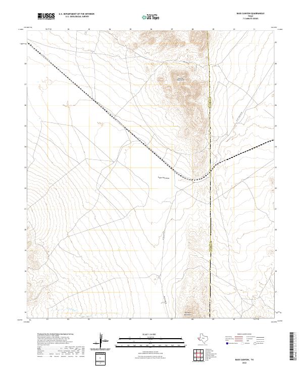
2022 Bass Canyon
Hudspeth County, TX
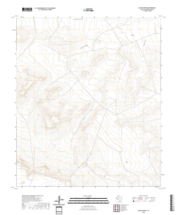
2022 Baylor Draw
Hudspeth County, TX
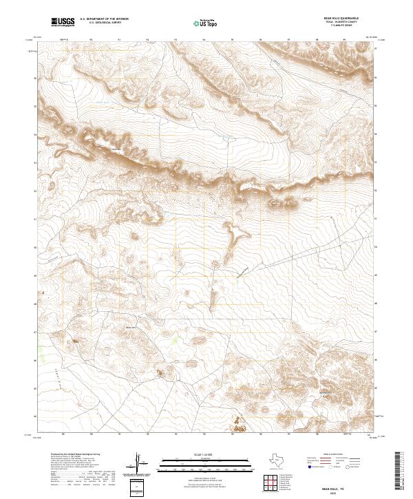
2022 Bean Hills
Hudspeth County, TX
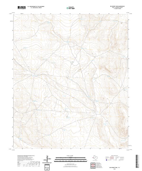
2022 Big Heiser Tank
Hudspeth County, TX
2022 Bitter Well Mountain NW
Hudspeth County, TX
2022 Bitter Well Mountain SW
Hudspeth County, TX
2022 Black Hills
Hudspeth County, TX
2022 Black Mountains
Hudspeth County, TX
2022 Black Mountains NW
Hudspeth County, TX
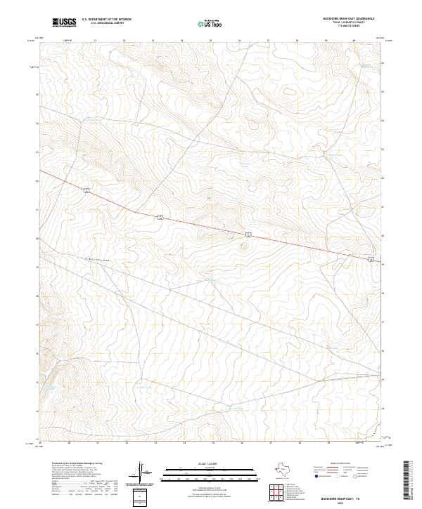
2022 Buckhorn Draw East
Hudspeth County, TX
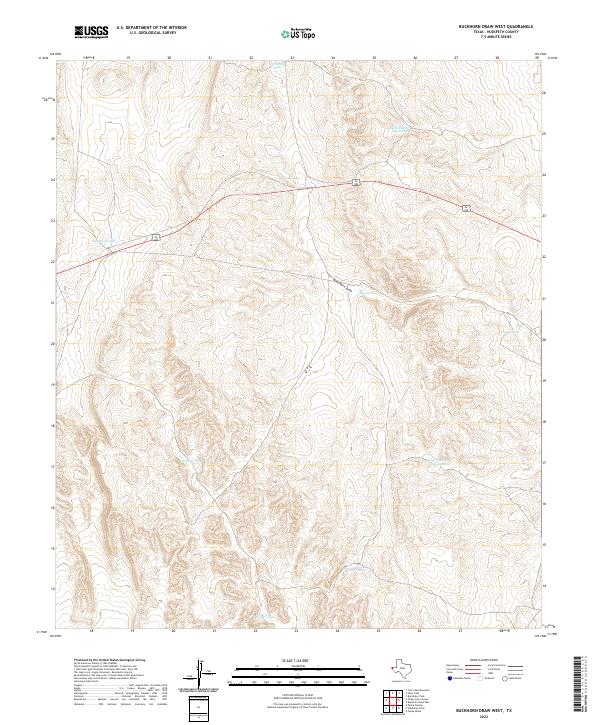
2022 Buckhorn Draw West
Hudspeth County, TX
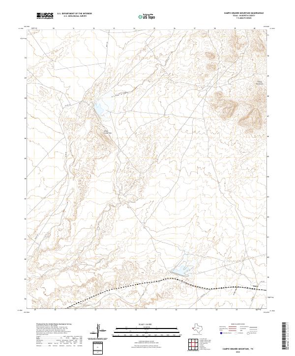
2022 Campo Grande Mountain
Hudspeth County, TX
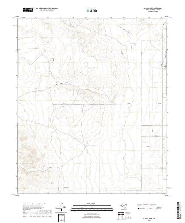
2022 C And L Draw
Hudspeth County, TX
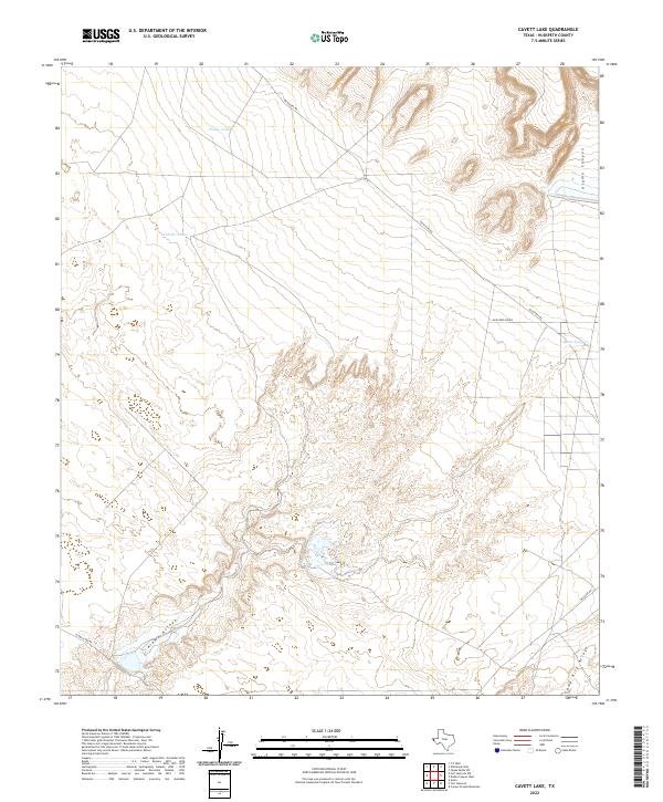
2022 Cavett Lake
Hudspeth County, TX
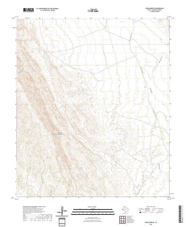
2022 Cedar Arroyo
Hudspeth County, TX
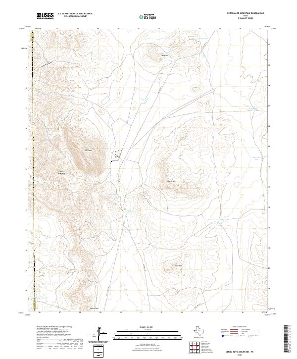
2022 Cerro Alto Mountain
Hudspeth County, TX
2022 Cerro Diablo
Hudspeth County, TX
2022 Collier Mesa
Hudspeth County, TX
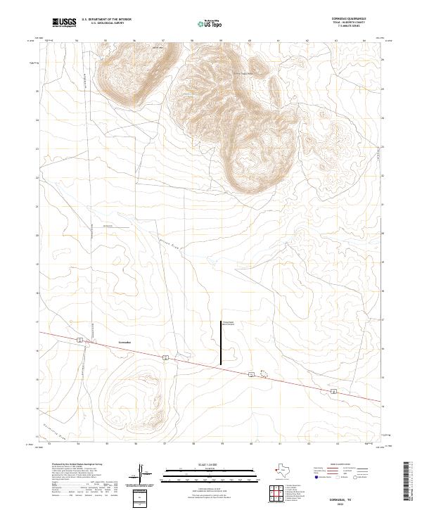
2022 Cornudas
Hudspeth County, TX
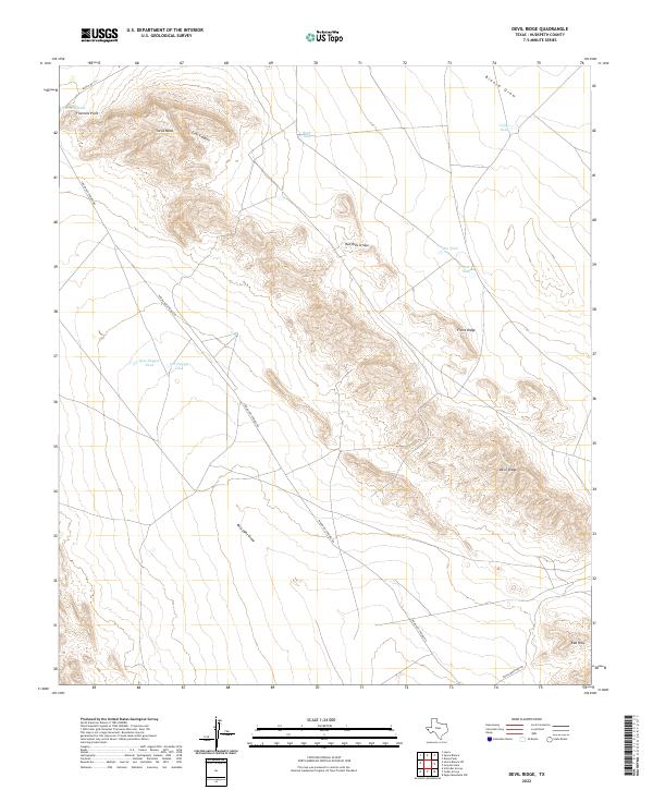
2022 Devil Ridge
Hudspeth County, TX
2022 Diablo Canyon East
Hudspeth County, TX
2022 Diablo Canyon West
Hudspeth County, TX
2022 Dome Peak
Hudspeth County, TX
2022 Eagle Mountains NE
Hudspeth County, TX
2022 Eagle Mountains NW
Hudspeth County, TX
2022 Eagle Mountains SW
Hudspeth County, TX
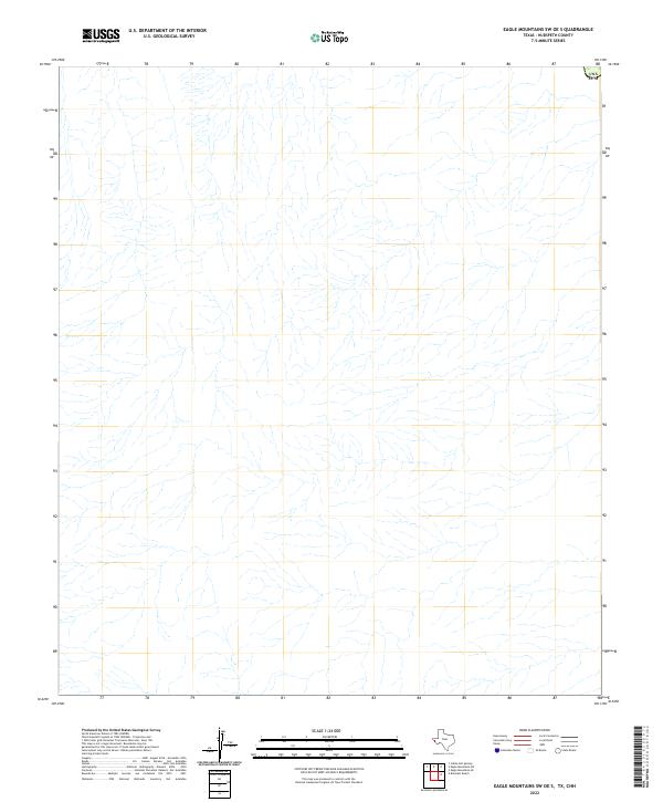
2022 Eagle Mountains SW OE S
Hudspeth County, TX
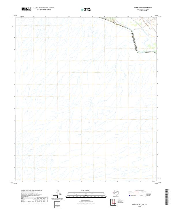
2022 Esperanza
Hudspeth County, TX
2022 Esperanza OE S
Hudspeth County, TX
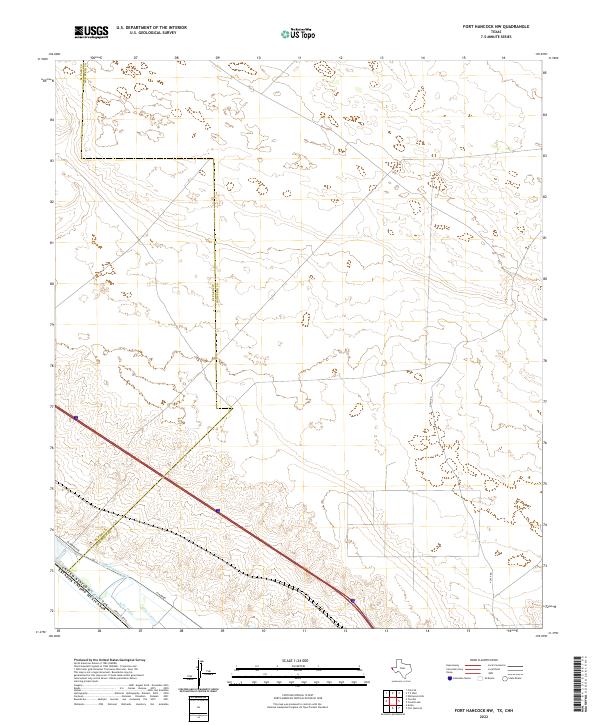
2022 Fort Hancock NW
Hudspeth County, TX
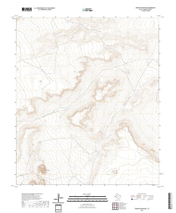
2022 Granite Mountain
Hudspeth County, TX
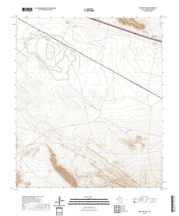
2022 Grayton Lake
Hudspeth County, TX
2022 Gunsight Hills North
Hudspeth County, TX
2022 Gunsight Hills South
Hudspeth County, TX
2022 Hackett Peak
Hudspeth County, TX
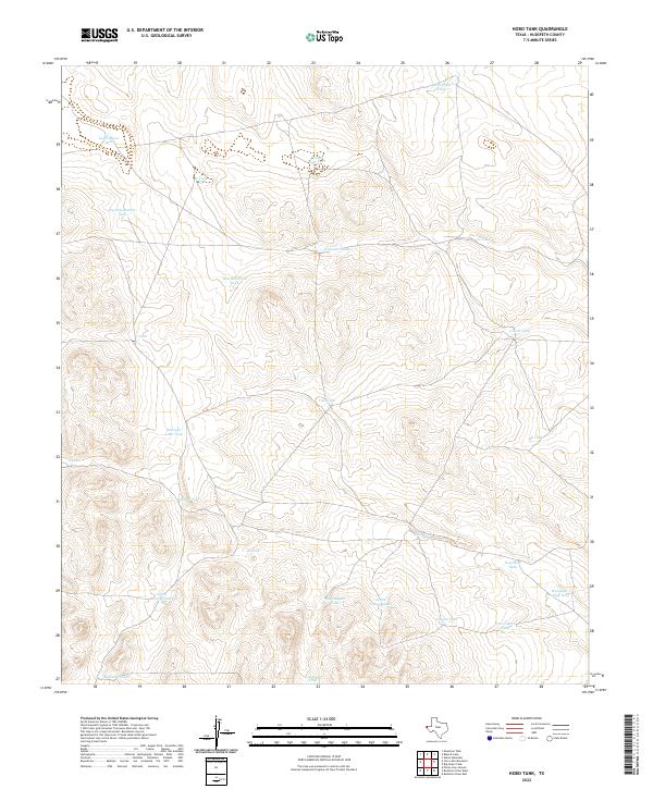
2022 Hobo Tank
Hudspeth County, TX
2022 Hueco Station
Hudspeth County, TX
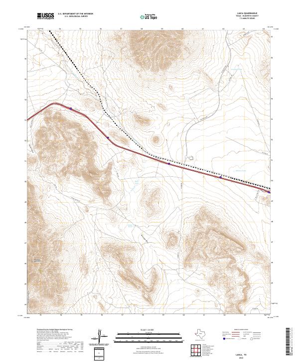
2022 Lasca
Hudspeth County, TX
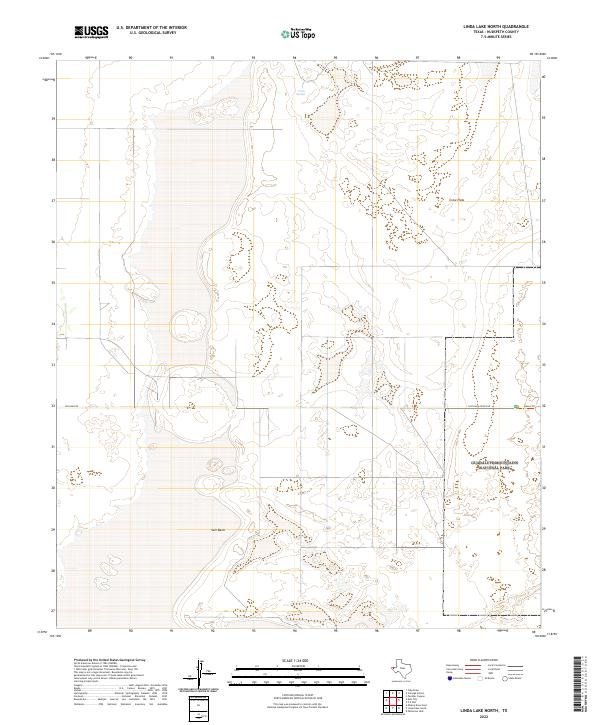
2022 Linda Lake North
Hudspeth County, TX
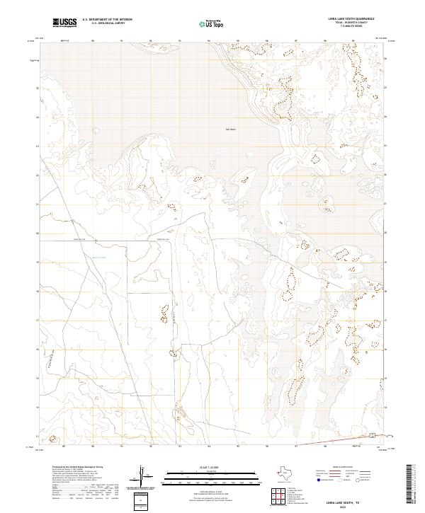
2022 Linda Lake South
Hudspeth County, TX

2022 McNary
Hudspeth County, TX
2022 Mesquite Spring
Hudspeth County, TX
2022 Mickey Draw East
Hudspeth County, TX
2022 Mickey Draw West
Hudspeth County, TX
2022 Molesworth Mesa North
Hudspeth County, TX
2022 Molesworth Mesa South
Hudspeth County, TX
2022 Movie Mountain
Hudspeth County, TX
2022 Neely Arroyo
Hudspeth County, TX
2022 Neely Canyon OE S
Hudspeth County, TX
2022 Norton Mesa
Hudspeth County, TX
2022 Padre Canyon
Hudspeth County, TX
2022 Patterson Hills
Hudspeth County, TX
2022 Phone Line Canyon
Hudspeth County, TX
2022 Pierce Ranch
Hudspeth County, TX
2022 P X Flat
Hudspeth County, TX
2022 Salt Flat
Hudspeth County, TX
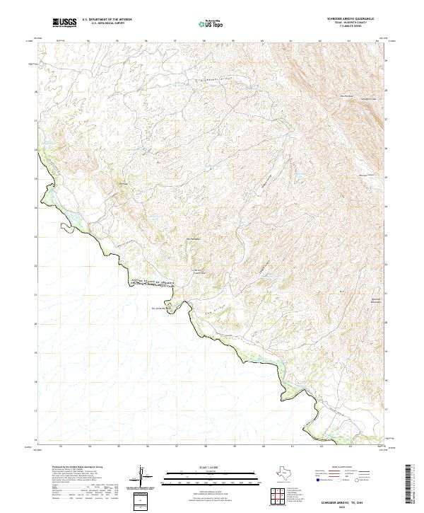
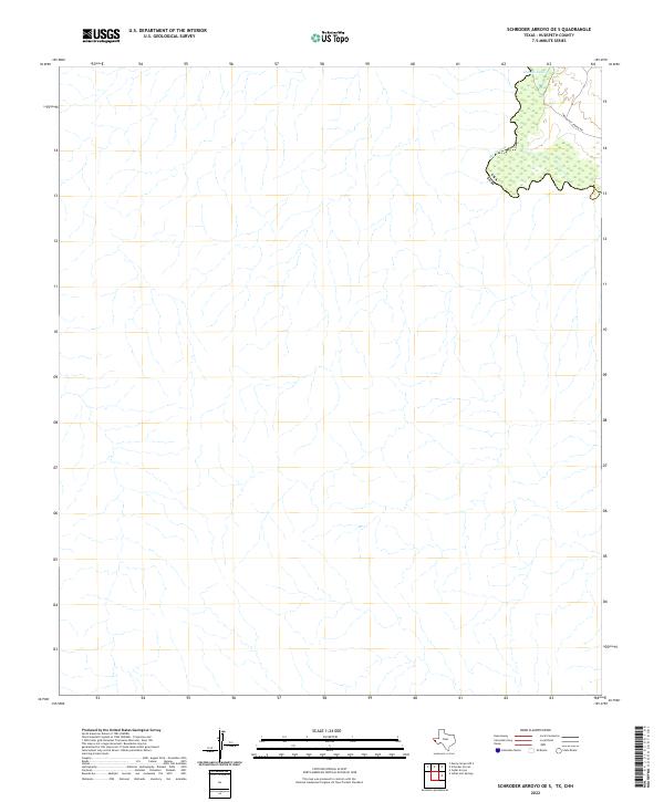
2022 Schroder Arroyo
Hudspeth County, TX
2022 Schroder Arroyo OE S
Hudspeth County, TX
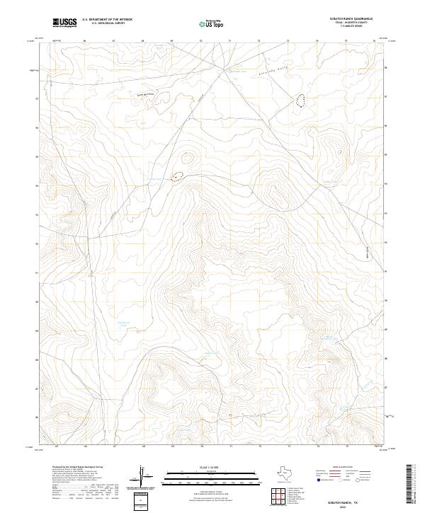
2022 Scratch Ranch
Hudspeth County, TX
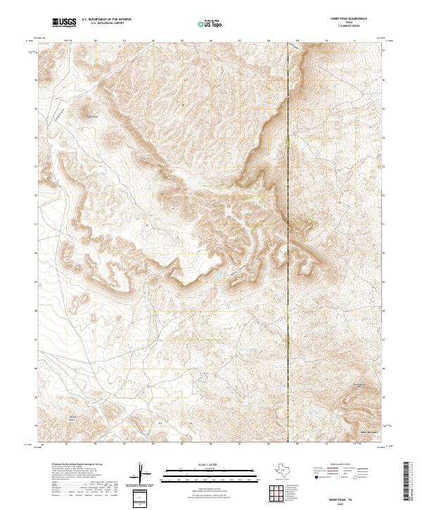
2022 Sheep Peak
Hudspeth County, TX
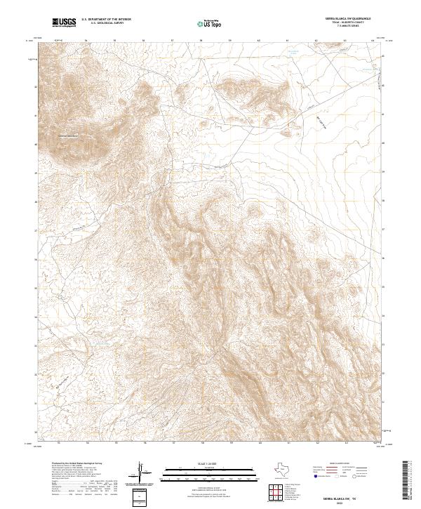
2022 Sierra Blanca SW
Hudspeth County, TX
2022 Silver King Canyon
Hudspeth County, TX
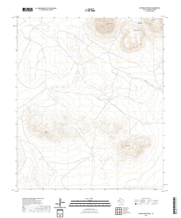
2022 Sixteen Mountains
Hudspeth County, TX
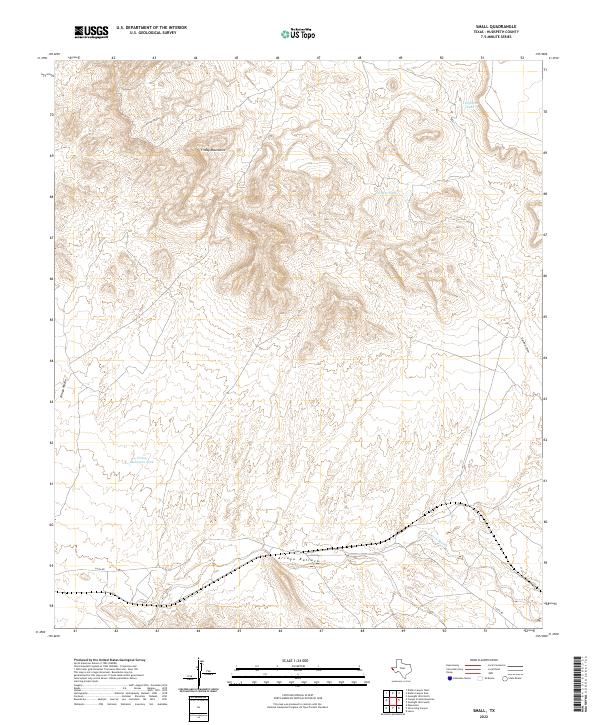
2022 Small
Hudspeth County, TX
2022 Sneed Mountain
Hudspeth County, TX
2022 Sneed Mountain NE
Hudspeth County, TX
2022 Tepee Butte
Hudspeth County, TX
2022 Tepee Butte SW
Hudspeth County, TX
2022 T P Well
Hudspeth County, TX
2022 Whiterock Hills
Hudspeth County, TX
2022 Wildhorse Draw
Hudspeth County, TX
2023 Bramlett Ranch
Hudspeth County, TX
2023 Eagle Mountains SE
Hudspeth County, TX
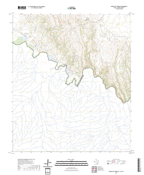
2023 Indian Hot Springs
Hudspeth County, TX
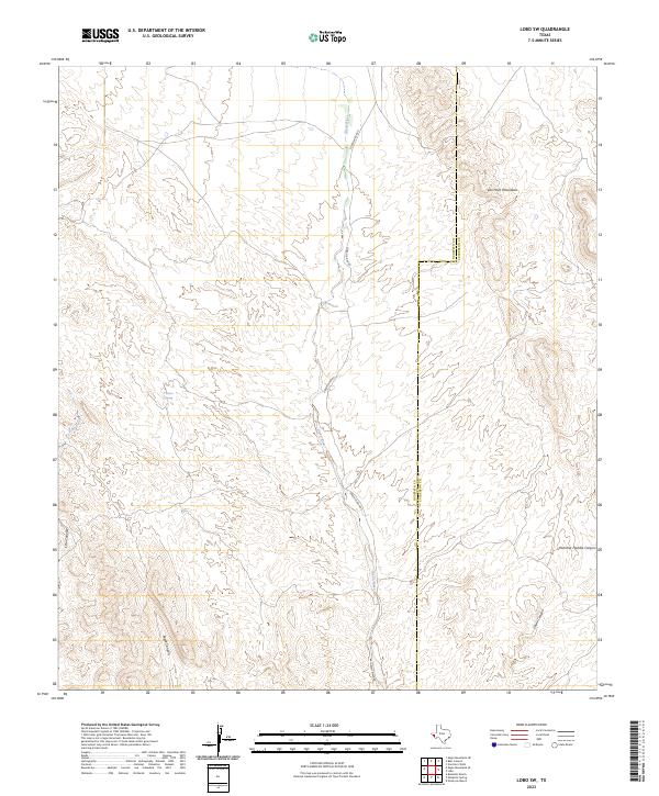
2023 Lobo SW
Hudspeth County, TX