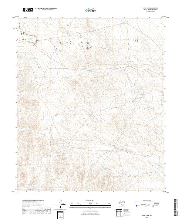
2022 Map of Hobo Tank
USGS Topo · Published 2022About this map
Hobo Tank and the surrounding high desert of Hudspeth County are defined by an intricate network of water catchment systems essential for ranching in this arid corner of West Texas. This topographical study reveals the specialized infrastructure of the region, where livestock management relies on named tanks and wells distributed across the landscape. Notable features like Butterfield Tank and Freak Well Tank indicate the historical reliance on these localized water sources, while the naming of Antelope Lake Tank and South Antelope Tank suggests the native wildlife that shares these resources. The map traces the contours of a working landscape where geography and survival are inextricably linked, from the depths of Big Canyon Tank to the eastern expanse of West Lost Valley Tank, providing a clear record of the area's contemporary land use and hydraulic engineering.
Find a feature on this map
25 named features on this map. Tap any name to fly to it.
Don’t see what you’re looking for? This feature index may not catch every label — zoom into the map to look around manually.
Map Details
Editions of this 2022 Hobo Tank Map
This is the sole edition of this map. No revisions or reprints were ever made.
Other maps of this area

1903 · Cerro Alto
USGS Topo · 1:125,000

1940 · Bassett Lake
USGS Topo · 1:62,500

1941 · Heuco Mountains
USGS Topo · 1:62,500

1943 · San Antonio Mtn
USGS Topo · 1:62,500

1943 · Heuco Mountains
USGS Topo · 1:62,500

1943 · Bassett Lake
USGS Topo · 1:62,500

1954 · Carlsbad
USGS Topo · 1:250,000

1954 · Van Horn
USGS Topo · 1:250,000

1958 · Van Horn
USGS Topo · 1:250,000

1958 · Carlsbad
USGS Topo · 1:250,000