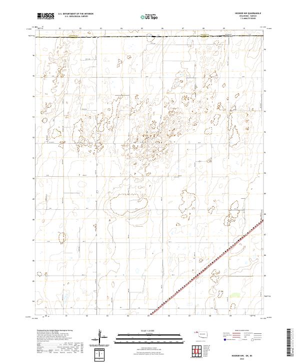
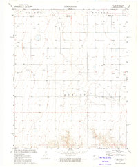
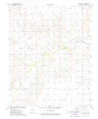
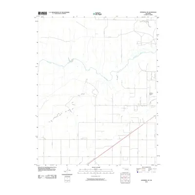
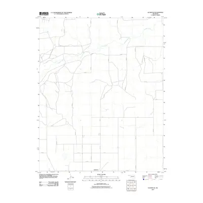
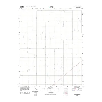
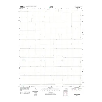
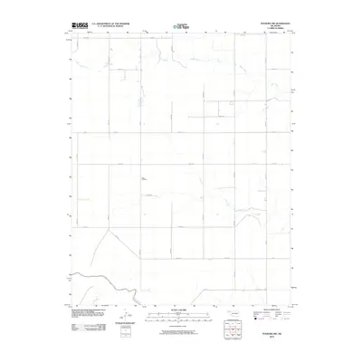
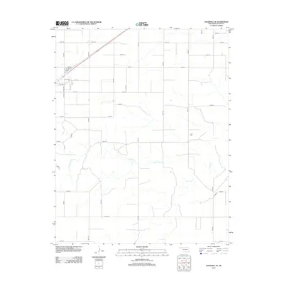
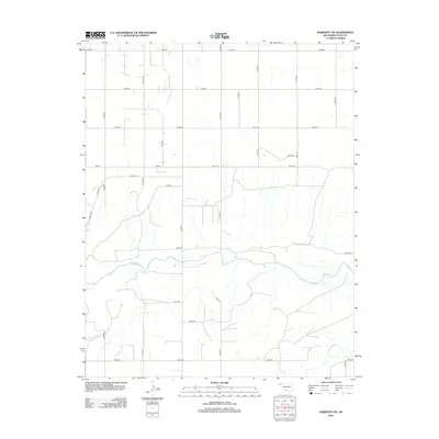
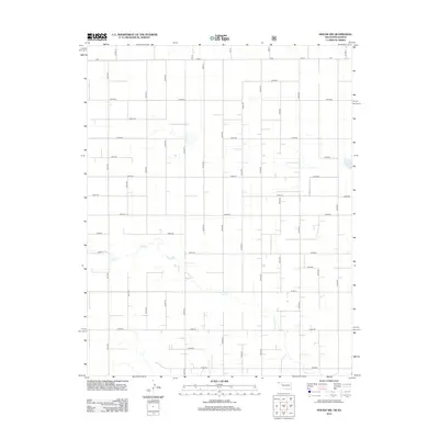
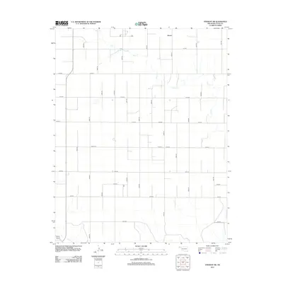
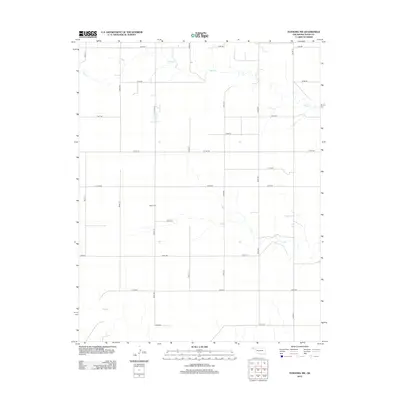
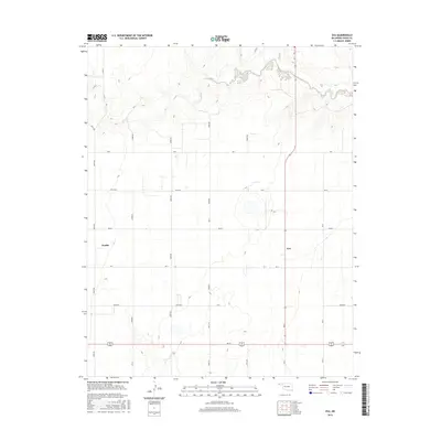
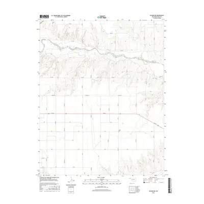
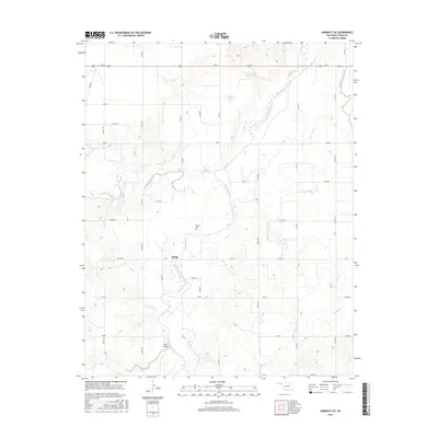
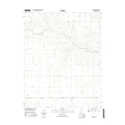
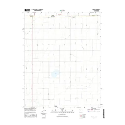
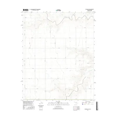
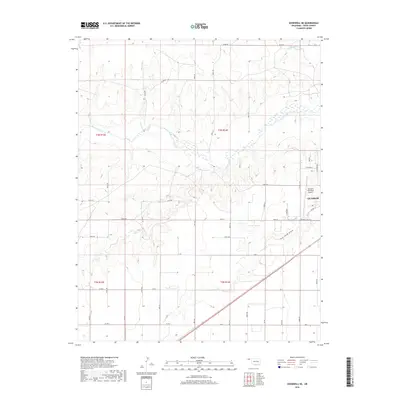
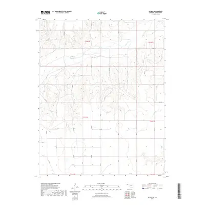
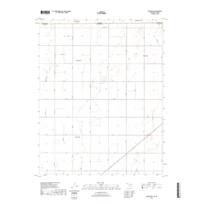
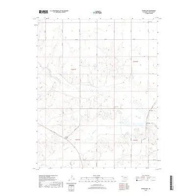
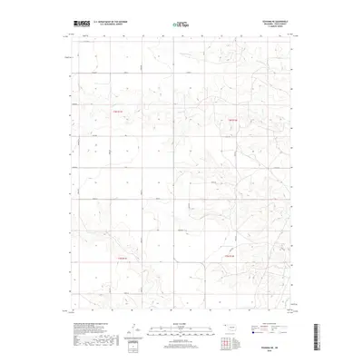
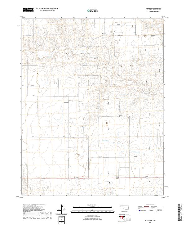
2022 Map of Hooker NW
USGS Topo · Published 2022About this map
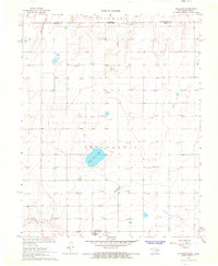
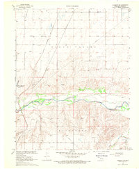
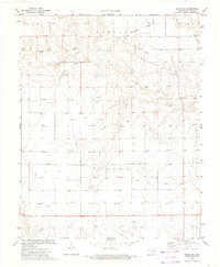
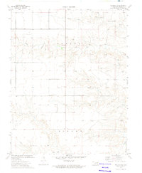
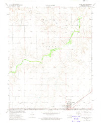
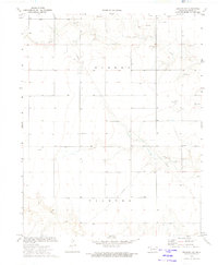
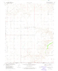
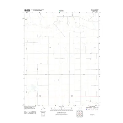
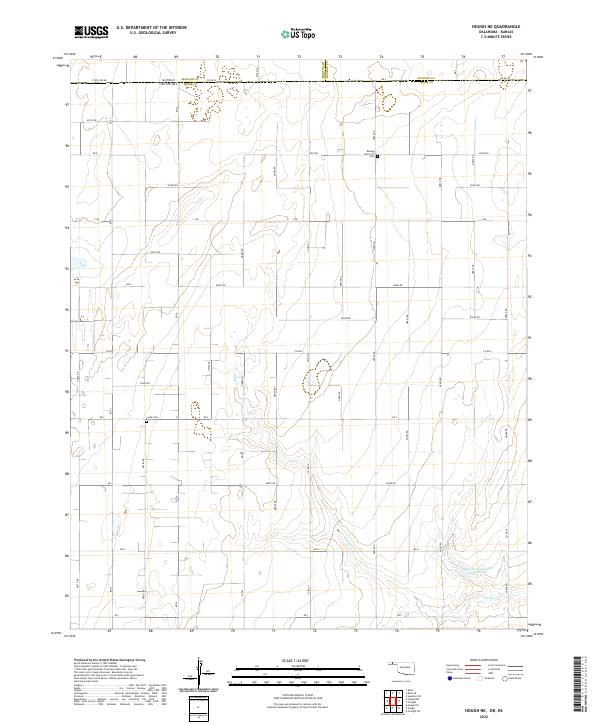
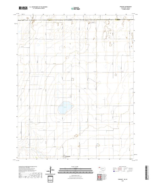
The high plains borderland between Kansas and Oklahoma is defined here by a rigid grid of section lines and range roads. Published by the U.S. Geological Survey, this sheet reveals the intersection of Stevens County and Texas County at the state line. The landscape is characterized by its agricultural geometry, with major thoroughfares like Co Hwy D and Co Rd D facilitating movement across the sparsely populated terrain.
Find a feature on this map
41 named features on this map. Tap any name to fly to it.
Don’t see what you’re looking for? This feature index may not catch every label — zoom into the map to look around manually.
Map Details
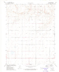
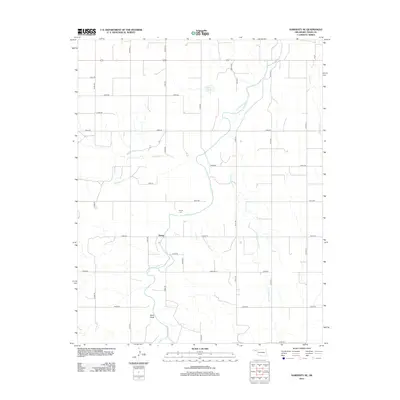
Editions of this 2022 Hooker NW Map
This is the sole edition of this map. No revisions or reprints were ever made.
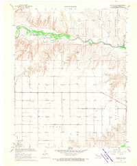
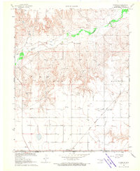
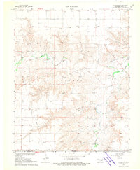
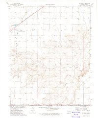
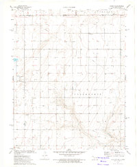
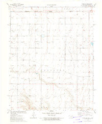
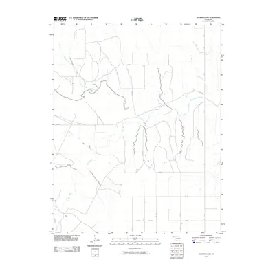
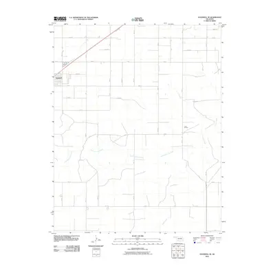
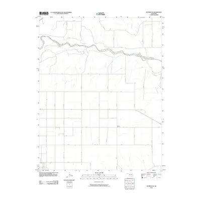
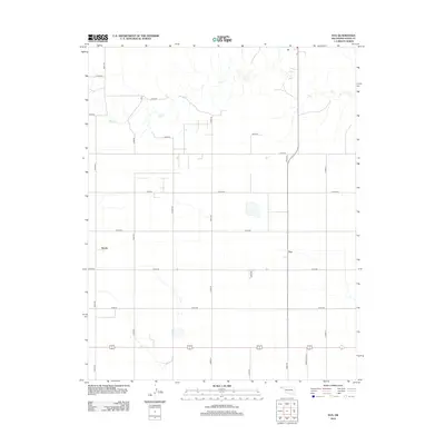
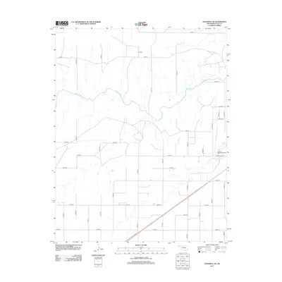
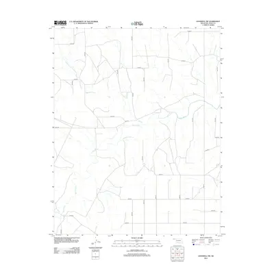
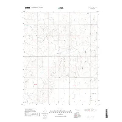
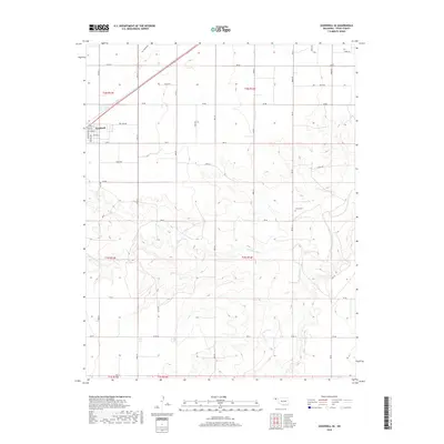
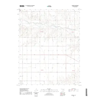
Historical Maps of Texas County Through Time
139 maps found
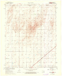
1967 Hooker NW
Texas County, OK
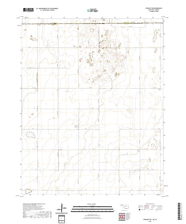
1967 Straight NE
Texas County, OK
1967 Straight SW
Texas County, OK
1967 Straight
Texas County, OK
1968 Guymon NE
Texas County, OK
1968 Guymon SE
Texas County, OK
1968 Guymon SW
Texas County, OK
1968 Hardesty NE
Texas County, OK
1968 Hardesty SE
Texas County, OK
1968 Optima Dam
Texas County, OK
1973 Elkhart South
Texas County, OK
1973 Eva NE
Texas County, OK
1973 Eva SE
Texas County, OK
1973 Eva
Texas County, OK
1973 Goodwell NE
Texas County, OK
1973 Goodwell NW
Texas County, OK
1973 Goodwell SE
Texas County, OK
1973 Hough NE
Texas County, OK
1973 Hough NW
Texas County, OK
1973 Hough SW
Texas County, OK
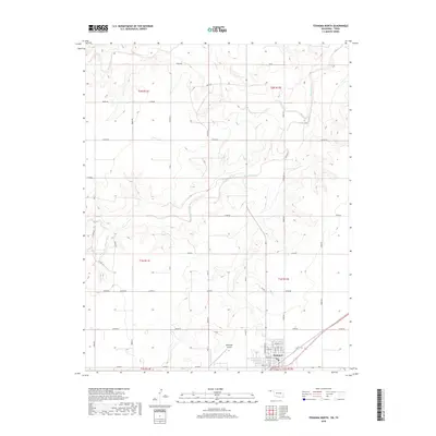
1973 Texhoma NE
Texas County, OK
1973 Texhoma North
Texas County, OK
1973 Texhoma NW
Texas County, OK
1973 Texhoma SW
Texas County, OK
2010 Eva NE
Texas County, OK
2010 Eva SE
Texas County, OK
2010 Eva
Texas County, OK
2010 Goodwell NE
Texas County, OK
2010 Goodwell NW
Texas County, OK
2010 Goodwell SE
Texas County, OK
2010 Guymon NE
Texas County, OK
2010 Guymon SE
Texas County, OK
2010 Guymon SW
Texas County, OK
2010 Hardesty NE
Texas County, OK
2010 Hardesty SE
Texas County, OK
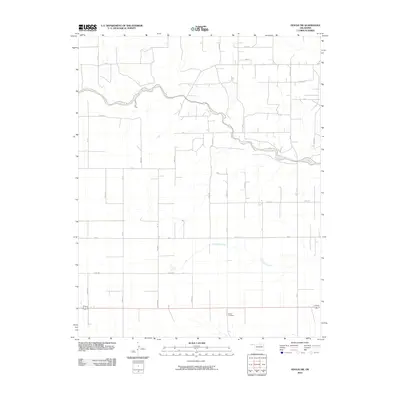
2010 Hooker NW
Texas County, OK
2010 Hough NE
Texas County, OK
2010 Hough NW
Texas County, OK
2010 Hough SW
Texas County, OK

2010 Optima Dam
Texas County, OK
2010 Straight NE
Texas County, OK
2010 Straight SW
Texas County, OK
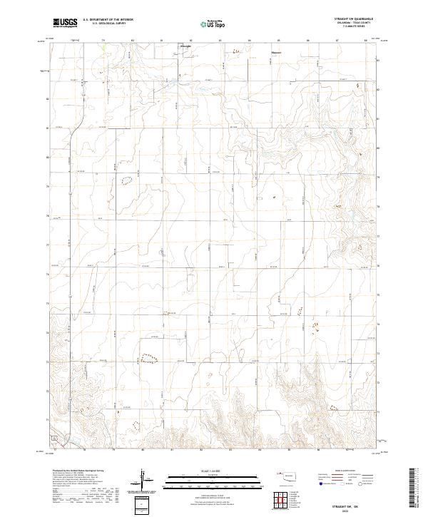
2010 Straight
Texas County, OK
2010 Texhoma NE
Texas County, OK
2010 Texhoma NW
Texas County, OK
2011 Texhoma North
Texas County, OK
2011 Texhoma SW
Texas County, OK
2012 Eva NE
Texas County, OK
2012 Eva SE
Texas County, OK
2012 Eva
Texas County, OK
2012 Goodwell NE
Texas County, OK
2012 Goodwell NW
Texas County, OK
2012 Goodwell SE
Texas County, OK
2012 Guymon NE
Texas County, OK
2012 Guymon SE
Texas County, OK
2012 Guymon SW
Texas County, OK
2012 Hardesty NE
Texas County, OK
2012 Hardesty SE
Texas County, OK
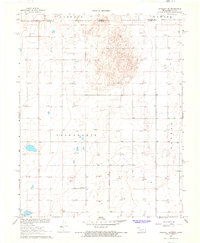
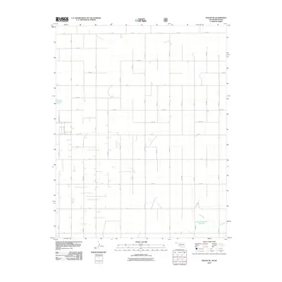
2012 Hooker NW
Texas County, OK
2012 Hough NE
Texas County, OK
2012 Hough NW
Texas County, OK
2012 Hough SW
Texas County, OK
2012 Optima Dam
Texas County, OK
2012 Straight NE
Texas County, OK
2012 Straight SW
Texas County, OK
2012 Straight
Texas County, OK
2012 Texhoma NE
Texas County, OK
2012 Texhoma North
Texas County, OK
2012 Texhoma NW
Texas County, OK
2012 Texhoma SW
Texas County, OK
2016 Eva NE
Texas County, OK
2016 Eva SE
Texas County, OK
2016 Eva
Texas County, OK
2016 Goodwell NE
Texas County, OK
2016 Goodwell NW
Texas County, OK
2016 Goodwell SE
Texas County, OK
2016 Guymon NE
Texas County, OK
2016 Guymon SE
Texas County, OK
2016 Guymon SW
Texas County, OK
2016 Hardesty NE
Texas County, OK
2016 Hardesty SE
Texas County, OK
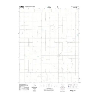
2016 Hooker NW
Texas County, OK
2016 Hough NE
Texas County, OK
2016 Hough NW
Texas County, OK
2016 Hough SW
Texas County, OK
2016 Optima Dam
Texas County, OK
2016 Straight NE
Texas County, OK
2016 Straight SW
Texas County, OK
2016 Straight
Texas County, OK
2016 Texhoma NE
Texas County, OK
2016 Texhoma North
Texas County, OK
2016 Texhoma NW
Texas County, OK
2016 Texhoma SW
Texas County, OK
2018 Eva NE
Texas County, OK
2018 Eva SE
Texas County, OK
2018 Eva
Texas County, OK
2018 Goodwell NE
Texas County, OK
2018 Goodwell NW
Texas County, OK
2018 Goodwell SE
Texas County, OK
2018 Guymon NE
Texas County, OK
2018 Guymon SE
Texas County, OK
2018 Guymon SW
Texas County, OK
2018 Hardesty NE
Texas County, OK
2018 Hardesty SE
Texas County, OK
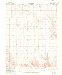
2018 Hooker NW
Texas County, OK
2018 Hough NE
Texas County, OK
2018 Hough NW
Texas County, OK
2018 Hough SW
Texas County, OK
2018 Optima Dam
Texas County, OK
2018 Straight NE
Texas County, OK
2018 Straight SW
Texas County, OK
2018 Straight
Texas County, OK
2018 Texhoma NE
Texas County, OK
2018 Texhoma North
Texas County, OK
2018 Texhoma NW
Texas County, OK
2018 Texhoma SW
Texas County, OK
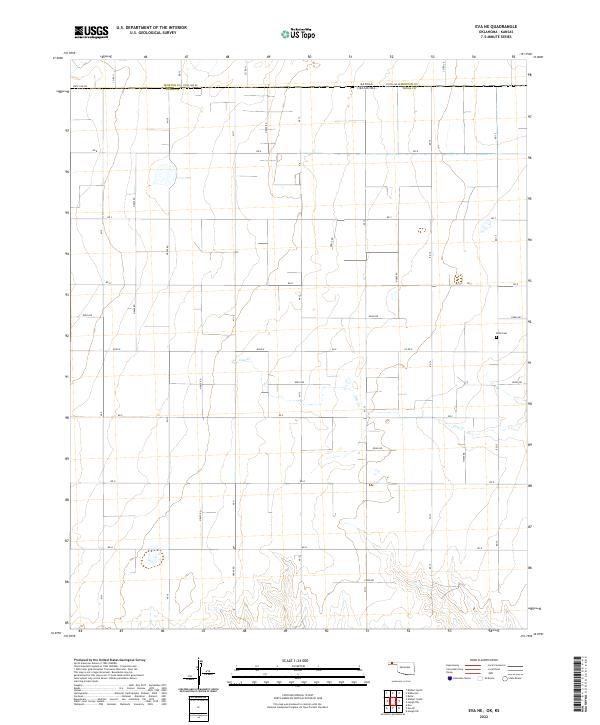
2022 Eva NE
Texas County, OK
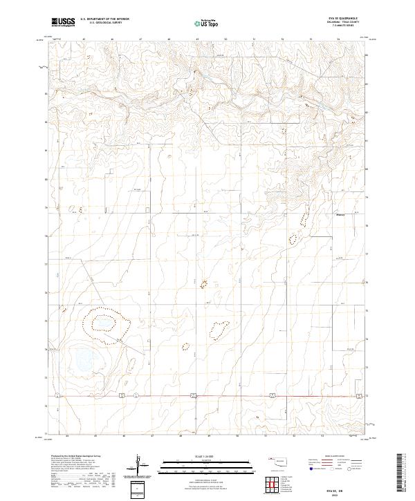
2022 Eva SE
Texas County, OK
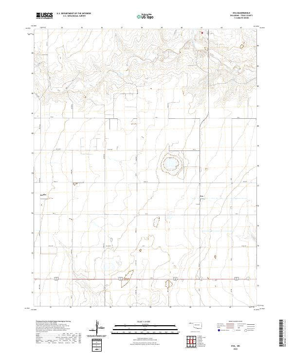
2022 Eva
Texas County, OK
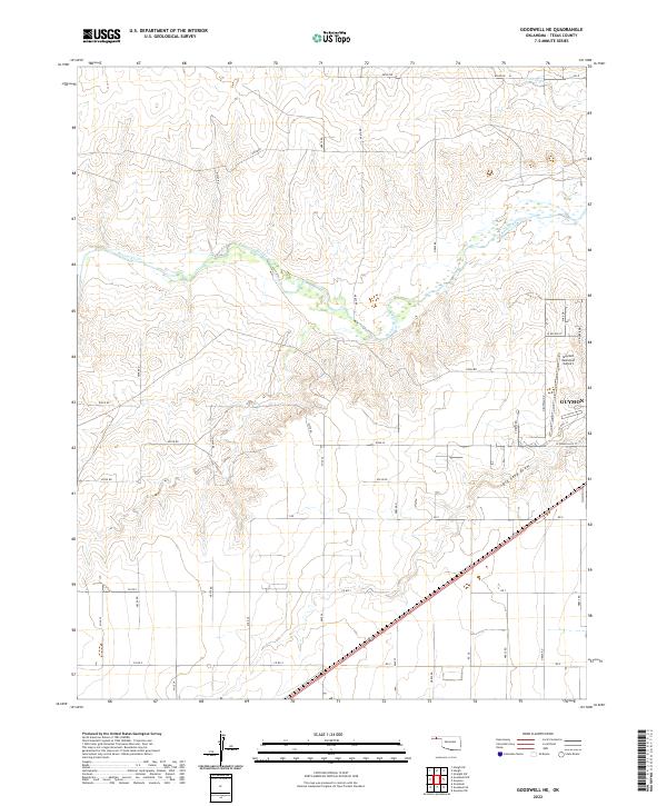
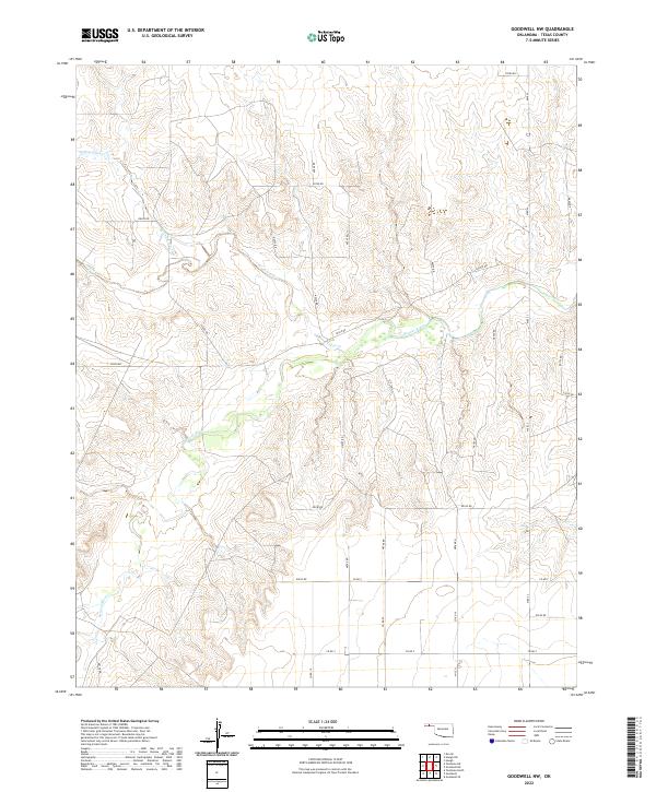
2022 Goodwell NE
Texas County, OK
2022 Goodwell NW
Texas County, OK
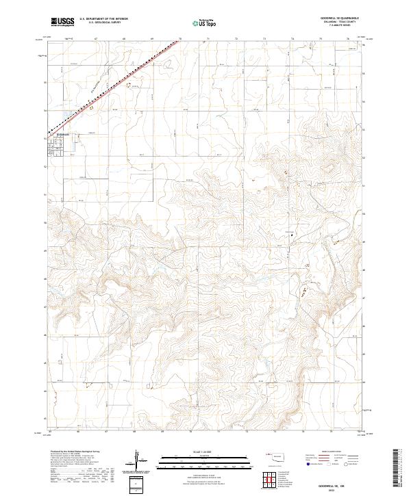
2022 Goodwell SE
Texas County, OK
2022 Guymon NE
Texas County, OK
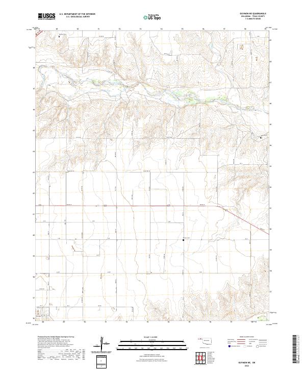
2022 Guymon SE
Texas County, OK
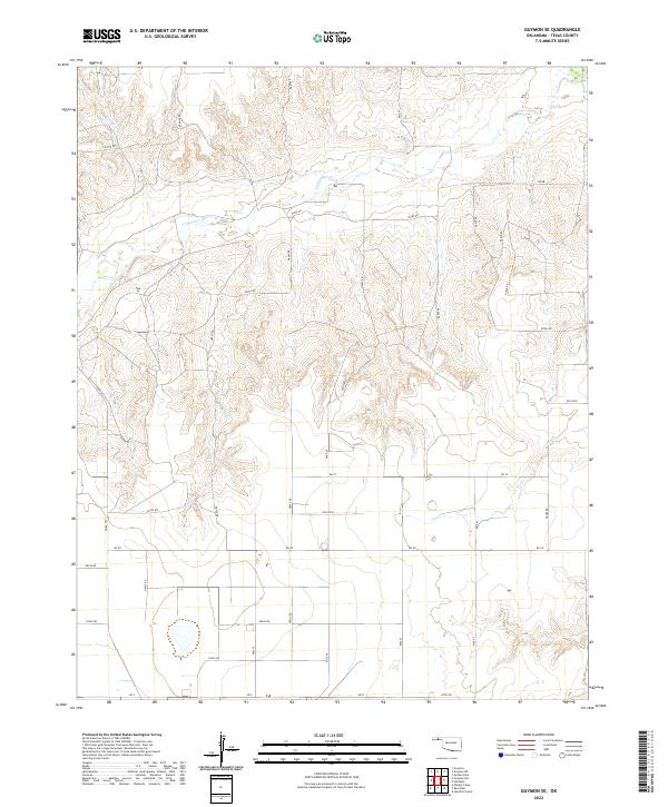
2022 Guymon SW
Texas County, OK

2022 Hardesty NE
Texas County, OK
2022 Hardesty SE
Texas County, OK
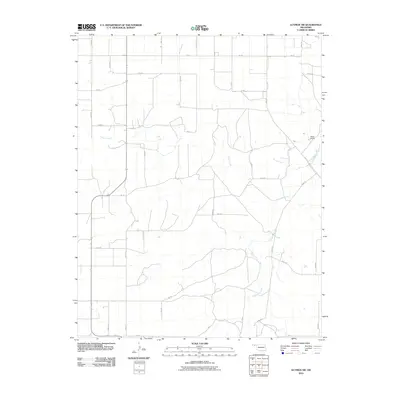
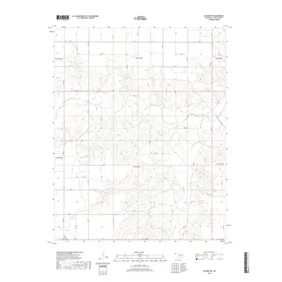
2022 Hooker NW
Texas County, OK
2022 Hough NE
Texas County, OK
2022 Hough NW
Texas County, OK
2022 Hough SW
Texas County, OK
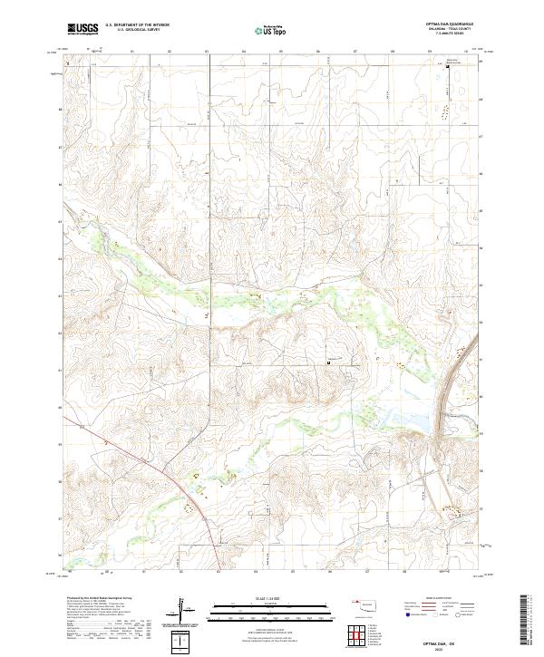
2022 Optima Dam
Texas County, OK
2022 Straight NE
Texas County, OK
2022 Straight SW
Texas County, OK
2022 Straight
Texas County, OK
2022 Texhoma NE
Texas County, OK

2022 Texhoma North
Texas County, OK
2022 Texhoma NW
Texas County, OK
2022 Texhoma SW
Texas County, OK