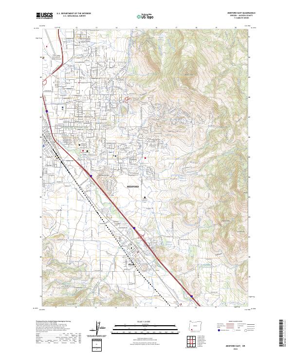
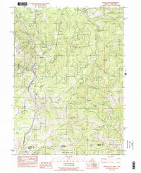
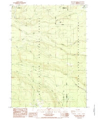
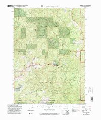
2024 Map of Medford East
USGS Topo · Published 2024About this map
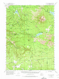
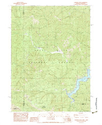
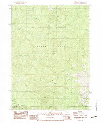
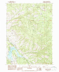
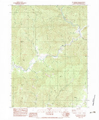
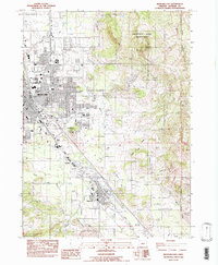
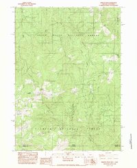
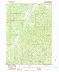
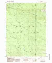
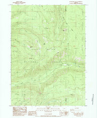
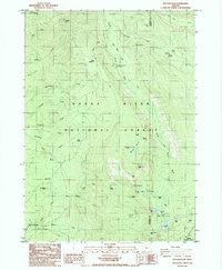
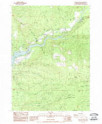
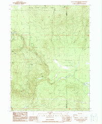
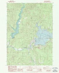
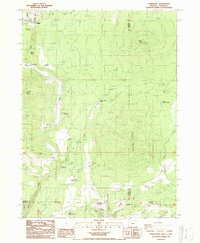
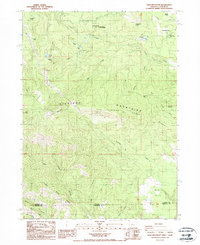
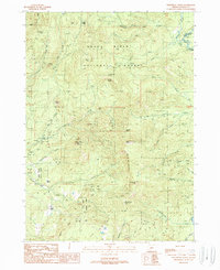
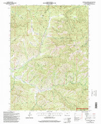
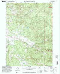
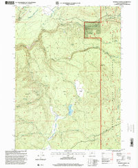
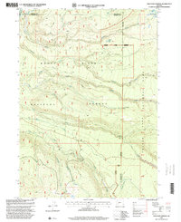
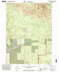
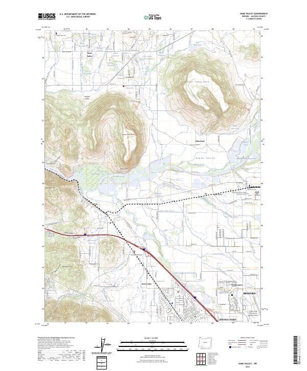
Medford and Phoenix anchor this topographic study, revealing a landscape defined by an intricate network of irrigation and water management. The Medford Irrigation District Canal, Hopkins Canal, and Phoenix Canal weave through the valley, supported by numerous reservoirs such as Lowry Reservoir and Larson Cr Reservoir. This reliance on water infrastructure highlights the region's agricultural foundations even as suburban development presses against landmarks like Barneburg Hill and Buckshot Hill.
Find a feature on this map
49 named features on this map. Tap any name to fly to it.
Don’t see what you’re looking for? This feature index may not catch every label — zoom into the map to look around manually.
Map Details
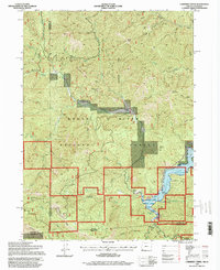
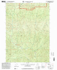
Editions of this 2024 Medford East Map
This is the sole edition of this map. No revisions or reprints were ever made.
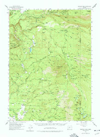
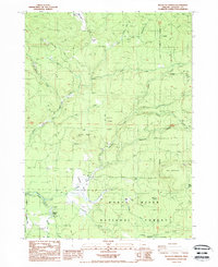
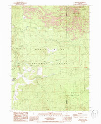
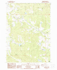
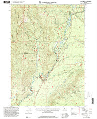
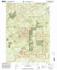
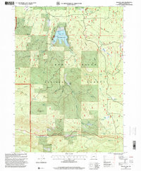
Historical Maps of Phoenix Through Time
126 maps found
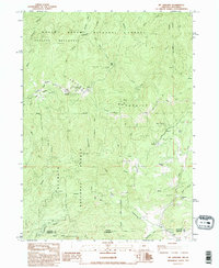
1944 Abbott Butte
Jackson County, OR

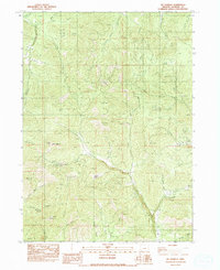
1947 Abbott Butte
Jackson County, OR
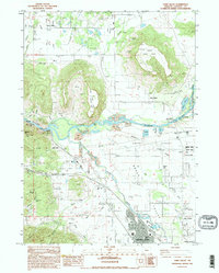
1954 Lakecreek
Jackson County, OR
1955 Hyatt Reservoir
Jackson County, OR
1955 Mt. Mc Loughlin
Jackson County, OR
1955 Rustler Peak
Jackson County, OR
1974 Medford East
Jackson County, OR

1974 Medford NW
Jackson County, OR
1974 Medford West
Jackson County, OR
1983 Applegate
Jackson County, OR
1983 Boswell Mtn
Jackson County, OR
1983 Carberry Creek
Jackson County, OR
1983 Cleveland Ridge
Jackson County, OR
1983 Dutchman Peak
Jackson County, OR
1983 Emigrant Lake
Jackson County, OR

1983 King Mountain
Jackson County, OR
1983 Mc Conville Peak
Jackson County, OR
1983 Medford East
Jackson County, OR

1983 Medford West
Jackson County, OR
1983 Mt. Ashland
Jackson County, OR
1983 Mt. Isabelle
Jackson County, OR
1983 Sams Valley
Jackson County, OR
1983 Siskiyou Pass
Jackson County, OR
1983 Siskiyou Peak
Jackson County, OR
1983 Skeleton Mtn
Jackson County, OR
1983 Squaw Lakes
Jackson County, OR
1983 Sterling Creek
Jackson County, OR
1983 Tallowbox Mtn
Jackson County, OR
1985 Imnaha Creek
Jackson County, OR
1985 Red Blanket Mountain
Jackson County, OR
1985 Rustler Peak
Jackson County, OR
1985 Thousand Springs
Jackson County, OR
1988 Big Butte Springs
Jackson County, OR
1988 Brown Mountain
Jackson County, OR
1988 Brownsboro
Jackson County, OR
1988 Cascade Gorge
Jackson County, OR
1988 Grizzly Peak
Jackson County, OR
1988 Hyatt Reservoir
Jackson County, OR
1988 Lakecreek
Jackson County, OR
1988 Little Chinquapin Mtn
Jackson County, OR
1988 McLeod
Jackson County, OR
1988 Mt. Mc Loughlin
Jackson County, OR
1988 Obenchain Mtn
Jackson County, OR
1988 Parker Mtn
Jackson County, OR
1988 Prospect South
Jackson County, OR
1988 Rio Canyon
Jackson County, OR
1988 Robinson Butte
Jackson County, OR
1988 Soda Mountain
Jackson County, OR
1988 Willow Lake
Jackson County, OR

1989 Crater Lake
Jackson County, OR

1989 Prospect North
Jackson County, OR
1989 Sugarpine Creek
Jackson County, OR
1989 Union Creek
Jackson County, OR
1989 Whetstone Point
Jackson County, OR
1996 Carberry Creek
Jackson County, OR
1996 Dutchman Peak
Jackson County, OR

1996 King Mountain
Jackson County, OR
1996 Squaw Lakes
Jackson County, OR
1996 Sterling Creek
Jackson County, OR
1996 Tallowbox Mountain
Jackson County, OR
1997 Big Butte Springs
Jackson County, OR

1997 Cascade Gorge
Jackson County, OR
1997 Imnaha Creek
Jackson County, OR
1997 Lakecreek
Jackson County, OR
1997 Little Chinquapin Mountain
Jackson County, OR
1997 Mc Leod
Jackson County, OR
1997 Prospect North
Jackson County, OR
1997 Prospect South
Jackson County, OR
1997 Red Blanket Mountain
Jackson County, OR
1997 Robinson Butte
Jackson County, OR
1997 Rustler Peak
Jackson County, OR
1997 Thousand Springs
Jackson County, OR
1997 Union Creek
Jackson County, OR
1997 Whetstone Point
Jackson County, OR
1997 Willow Lake
Jackson County, OR
1998 Brown Mountain
Jackson County, OR
1998 Cleveland Ridge
Jackson County, OR
1998 Mount Ashland
Jackson County, OR
1998 Mount Mc Loughlin
Jackson County, OR
1998 Siskiyou Peak
Jackson County, OR
1998 Skeleton Mountain
Jackson County, OR

2001 Siskiyou Pass
Jackson County, OR
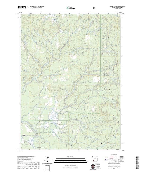
2023 Big Butte Springs
Jackson County, OR
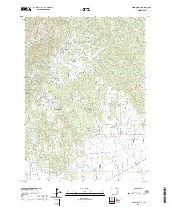
2023 Boswell Mountain
Jackson County, OR
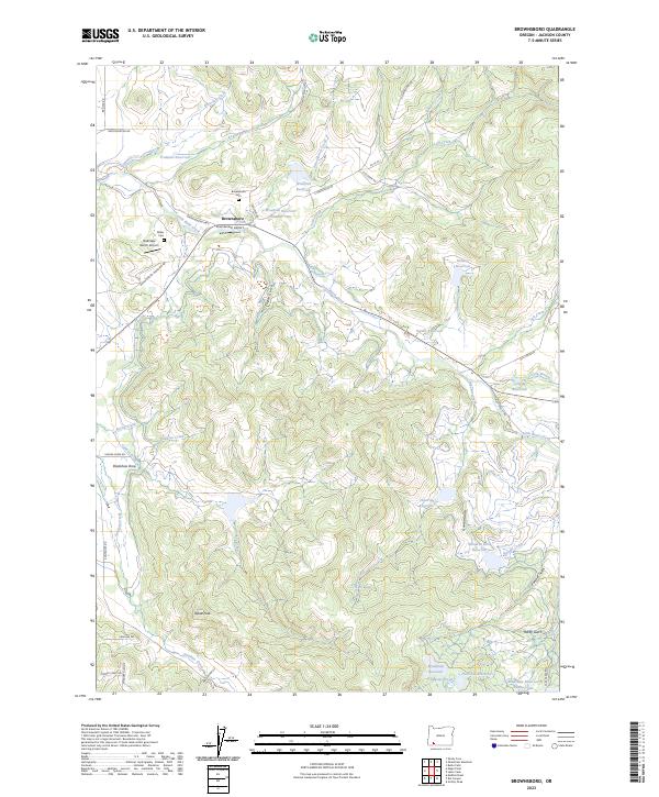
2023 Brownsboro
Jackson County, OR
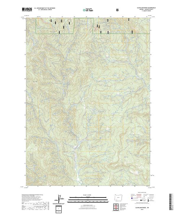
2023 Cleveland Ridge
Jackson County, OR
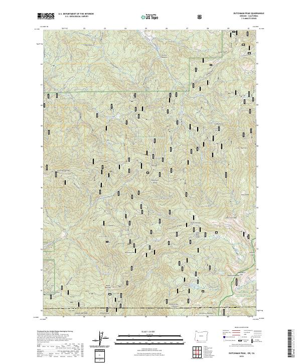
2023 Dutchman Peak
Jackson County, OR
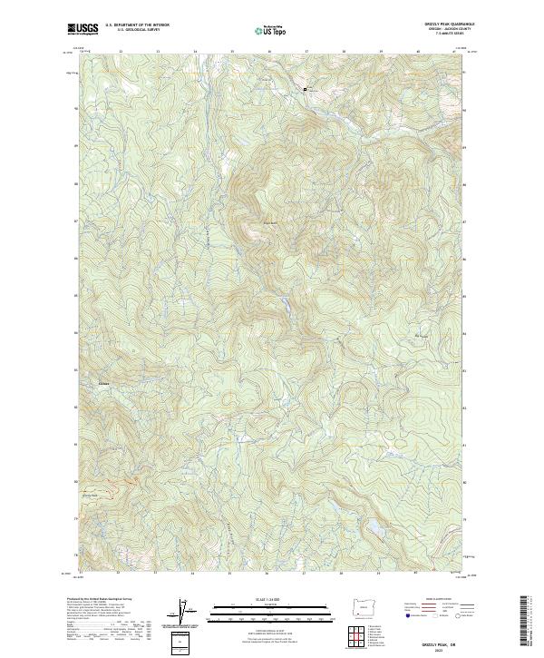
2023 Grizzly Peak
Jackson County, OR
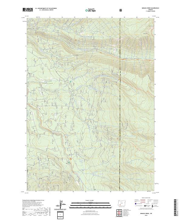
2023 Imnaha Creek
Jackson County, OR
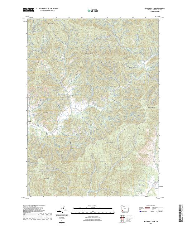
2023 McConville Peak
Jackson County, OR
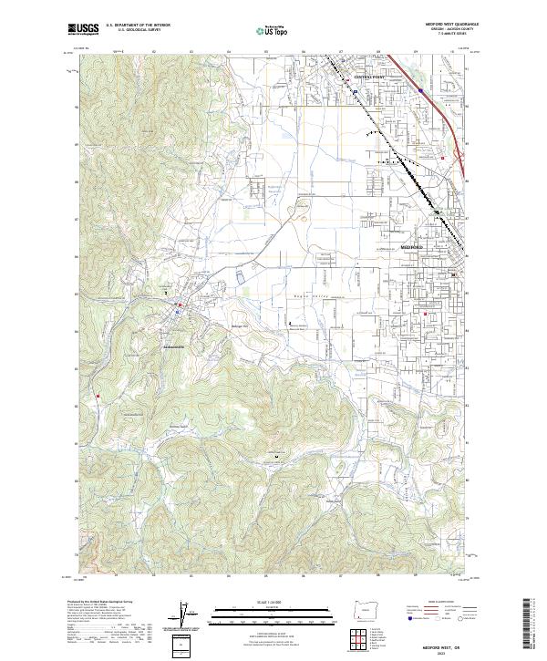
2023 Medford West
Jackson County, OR
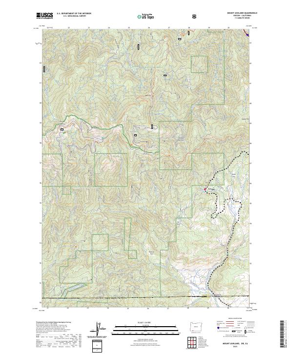
2023 Mount Ashland
Jackson County, OR
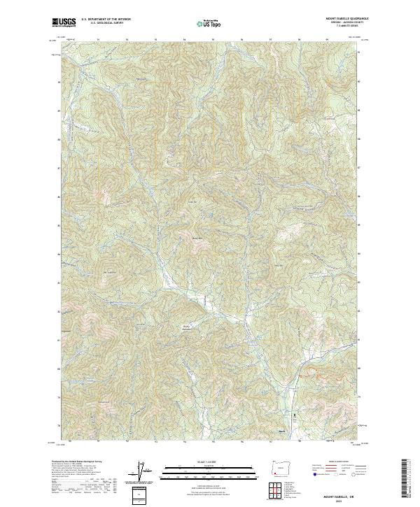
2023 Mount Isabelle
Jackson County, OR
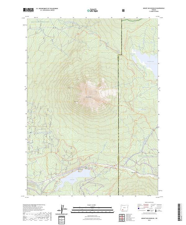
2023 Mount McLoughlin
Jackson County, OR
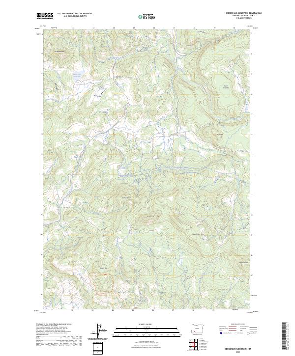
2023 Obenchain Mountain
Jackson County, OR
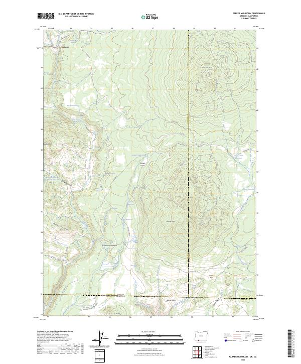
2023 Parker Mountain
Jackson County, OR
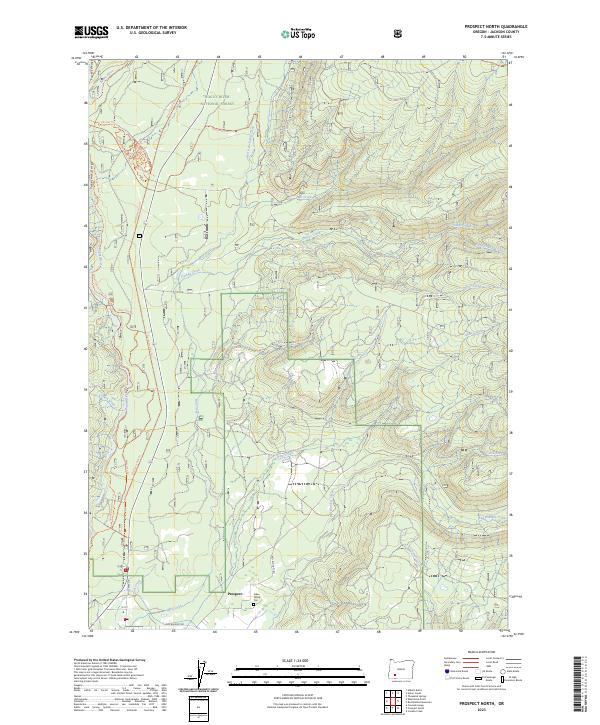
2023 Prospect North
Jackson County, OR
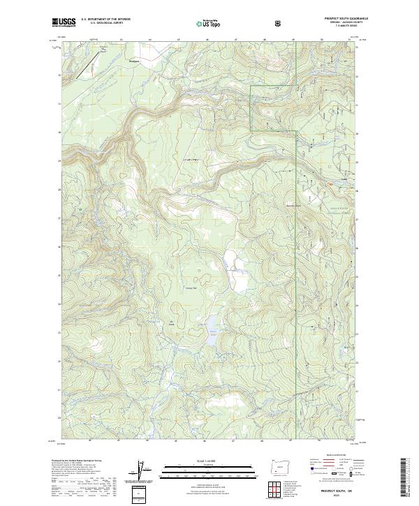
2023 Prospect South
Jackson County, OR
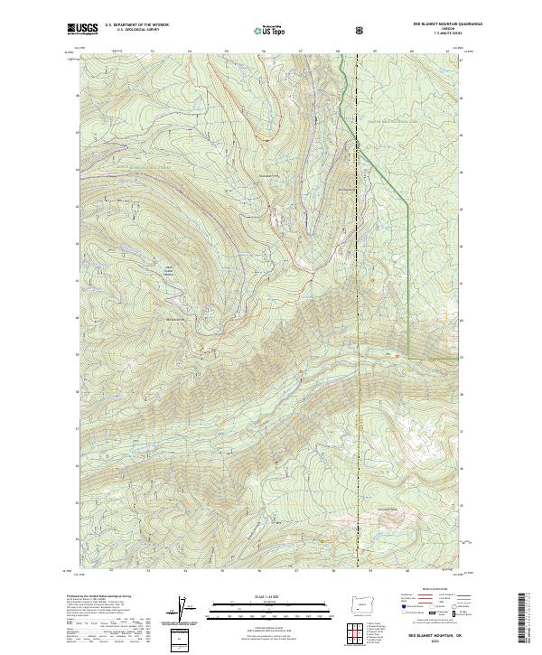
2023 Red Blanket Mountain
Jackson County, OR
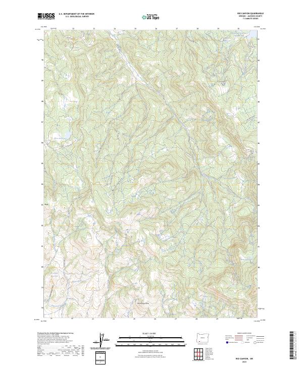
2023 Rio Canyon
Jackson County, OR
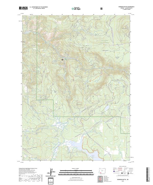
2023 Robinson Butte
Jackson County, OR
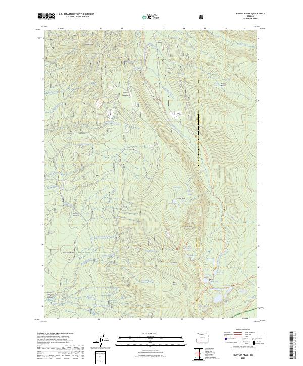
2023 Rustler Peak
Jackson County, OR
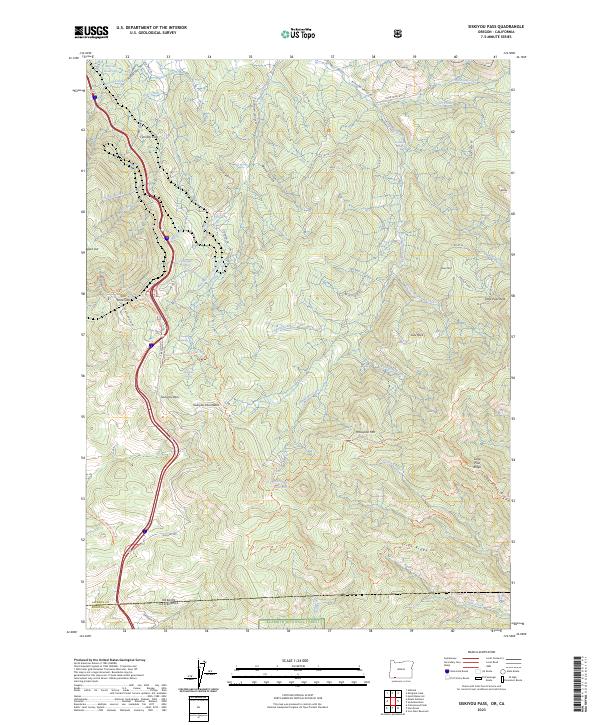
2023 Siskiyou Pass
Jackson County, OR
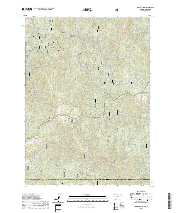
2023 Siskiyou Peak
Jackson County, OR
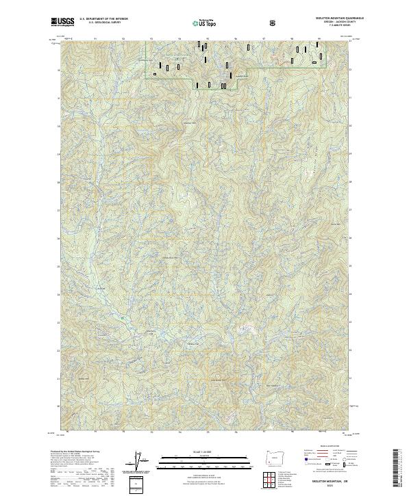
2023 Skeleton Mountain
Jackson County, OR
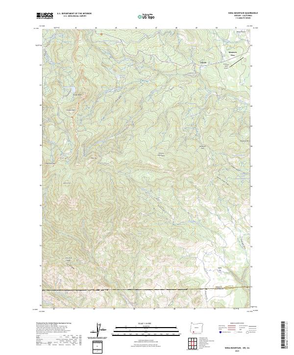
2023 Soda Mountain
Jackson County, OR
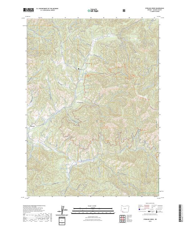
2023 Sterling Creek
Jackson County, OR
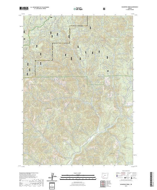
2023 Sugarpine Creek
Jackson County, OR
2023 Tallowbox Mountain
Jackson County, OR
2023 Thousand Springs
Jackson County, OR
2023 Union Creek
Jackson County, OR
2023 Whetstone Point
Jackson County, OR
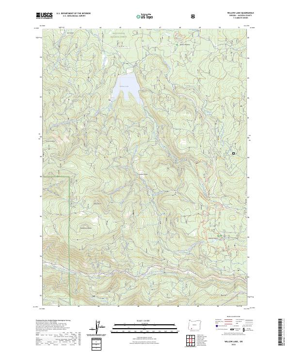
2023 Willow Lake
Jackson County, OR
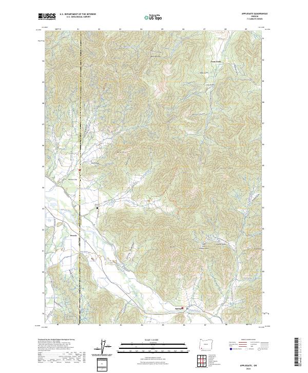
2024 Applegate
Jackson County, OR
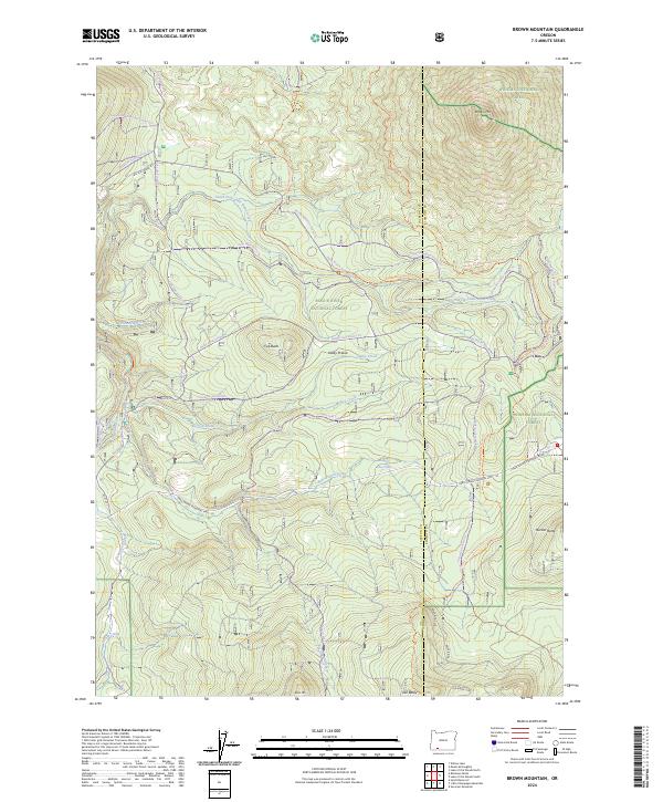
2024 Brown Mountain
Jackson County, OR
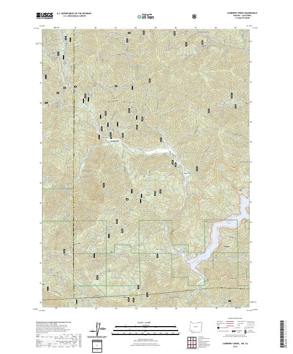
2024 Carberry Creek
Jackson County, OR
2024 Cascade Gorge
Jackson County, OR
2024 Emigrant Lake
Jackson County, OR
2024 Hyatt Reservoir
Jackson County, OR
2024 King Mountain
Jackson County, OR
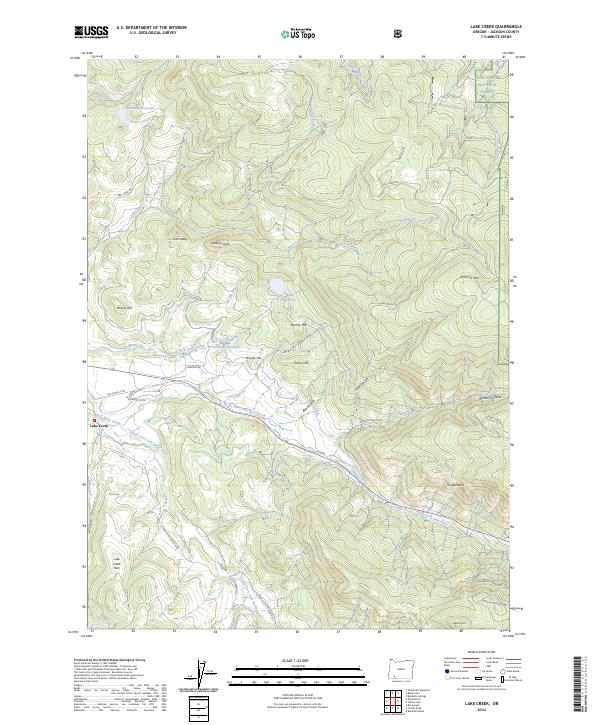
2024 Lake Creek
Jackson County, OR
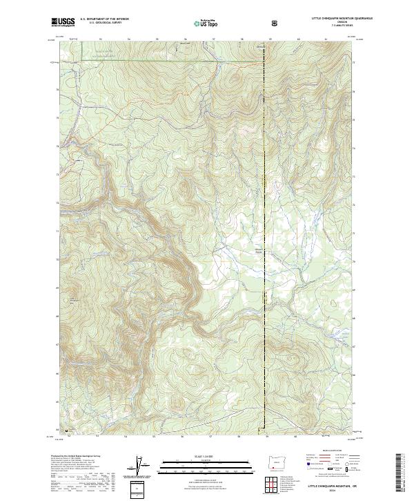
2024 Little Chinquapin Mountain
Jackson County, OR
2024 McLeod
Jackson County, OR
2024 Medford East
Jackson County, OR
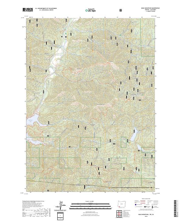
2024 Mule Mountain
Jackson County, OR
2024 Sams Valley
Jackson County, OR