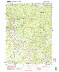
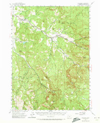
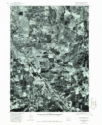
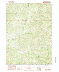
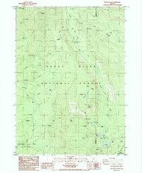
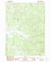
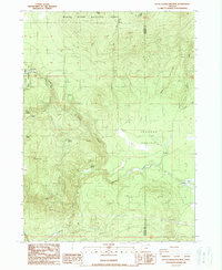
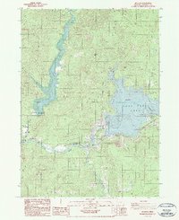
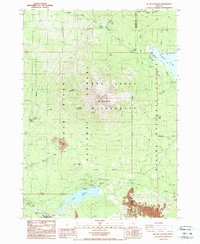
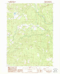
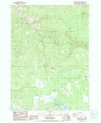
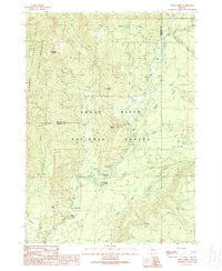
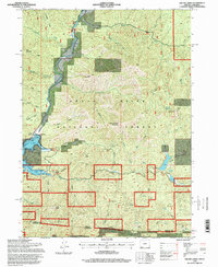
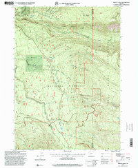
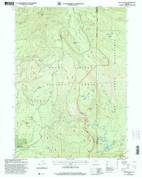
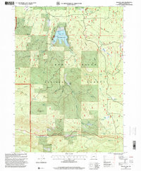
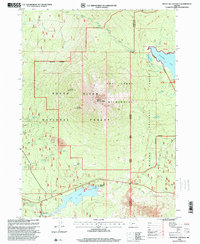
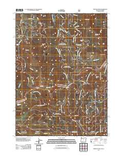
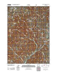
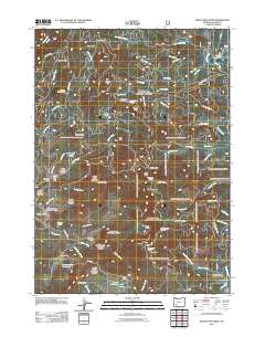
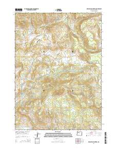
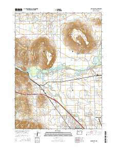
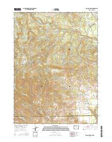
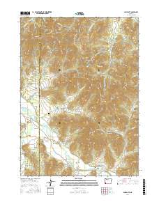
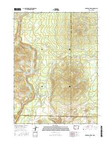
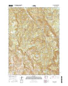
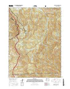
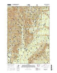
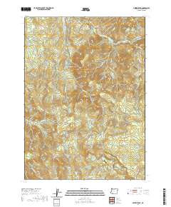
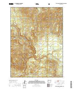
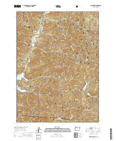
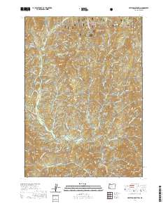
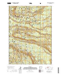
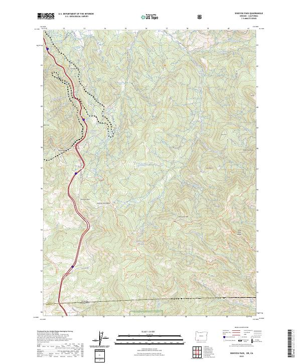
1983 Map of Siskiyou Pass
USGS Topo · Published 1988About this map
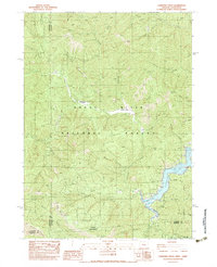
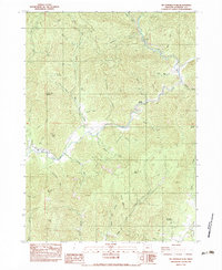
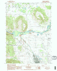
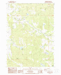
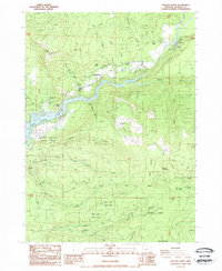
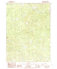
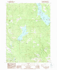
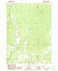
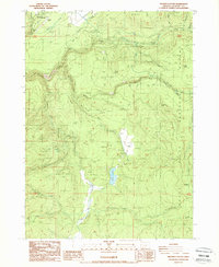
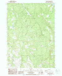
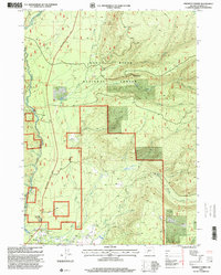
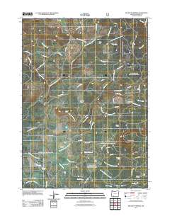
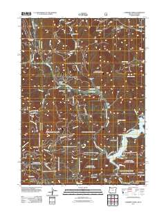
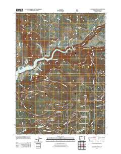
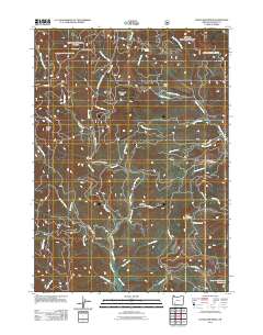
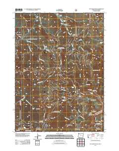
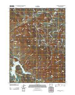
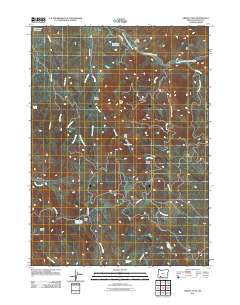
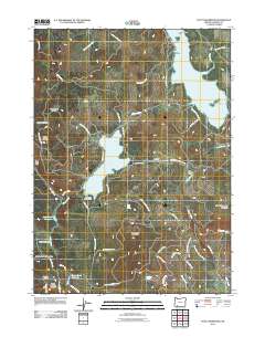
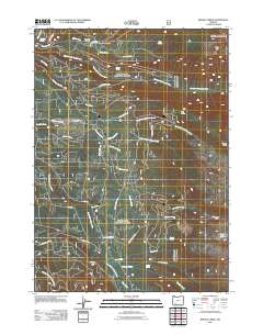
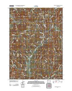
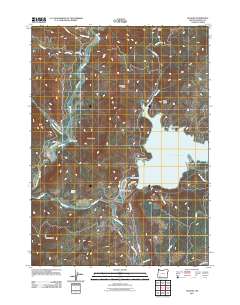
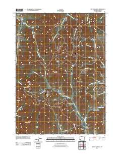
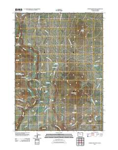
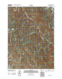
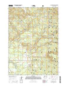
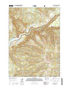
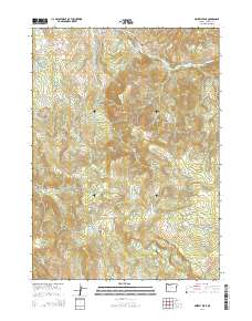
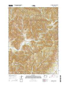
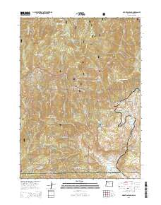
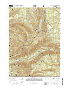
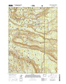
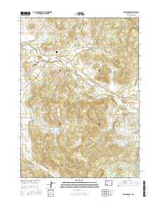
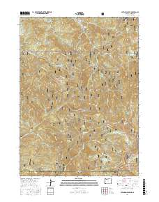
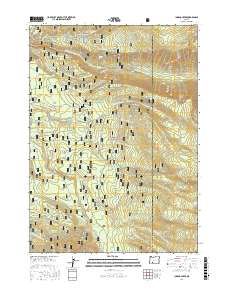
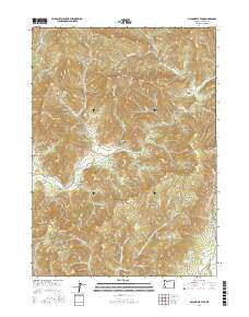
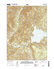
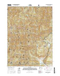
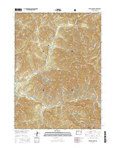
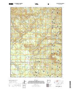
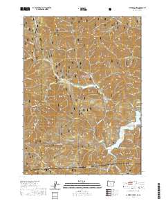
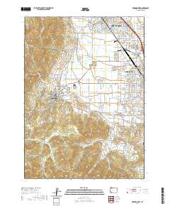
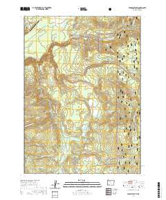
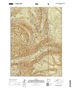
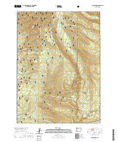
Siskiyou Pass and the high ridge of the Mountain range serve as the primary focus of this 1983 survey along the Oregon California border. The map documents a critical transportation corridor where the Steinman and Siskiyou rail stops provided passage through the high country, including engineering feats like the Buck Rock Tunnel. This era represents the landscape before modern interstate expansion fully overtook the older routes through the mountains, preserving the location of local landmarks like the Wooden Schoolhouse and the Bean Cabin.
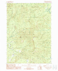
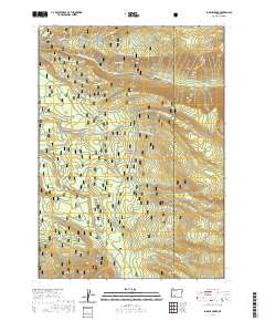
Find a feature on this map
37 named features on this map. Tap any name to fly to it.
Don’t see what you’re looking for? This feature index may not catch every label — zoom into the map to look around manually.
Map Details
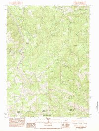
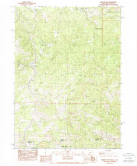
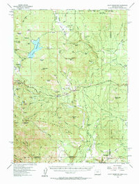
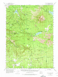
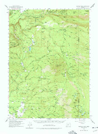
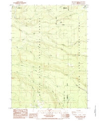
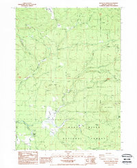
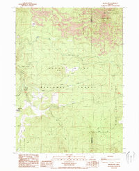
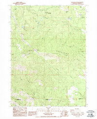
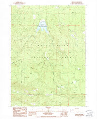
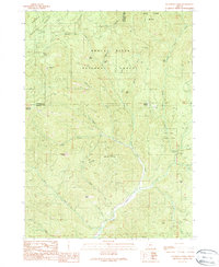
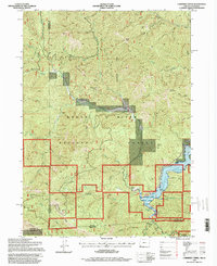
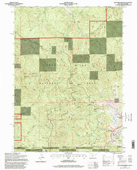
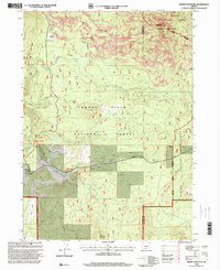
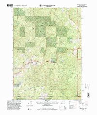
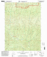
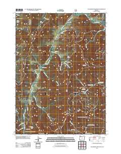
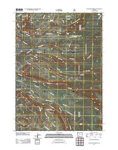
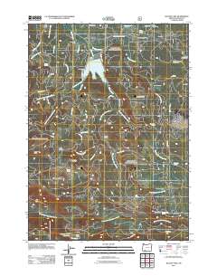
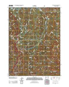
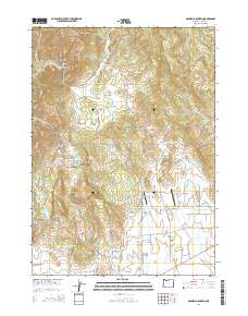
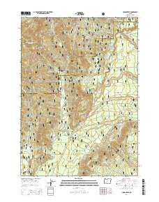
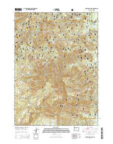
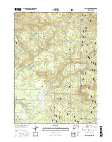
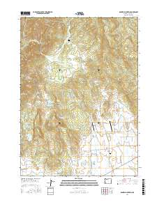
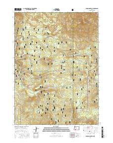
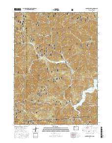
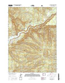
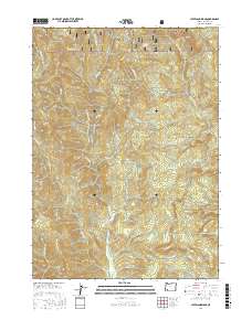
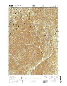
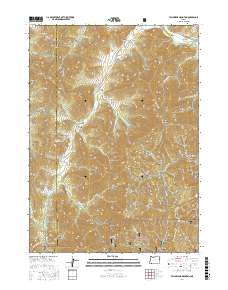
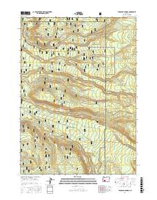
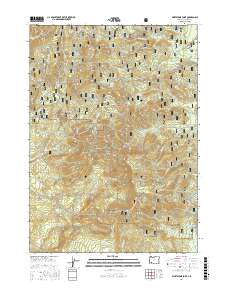
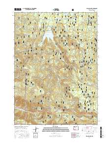
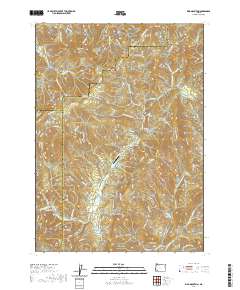
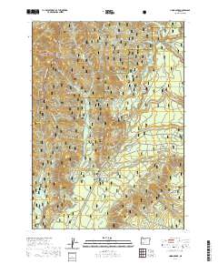
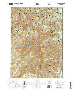
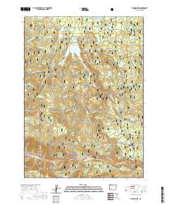
Editions of this 1983 Siskiyou Pass Map
3 editions found
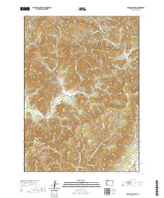
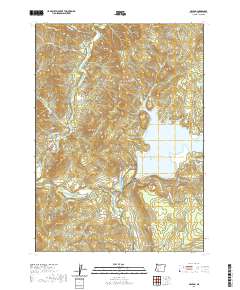
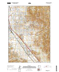
Historical Maps of Jackson County Through Time
304 maps found
1944 Abbott Butte
Jackson County, OR

1947 Abbott Butte
Jackson County, OR
1954 Lakecreek
Jackson County, OR
1955 Hyatt Reservoir
Jackson County, OR
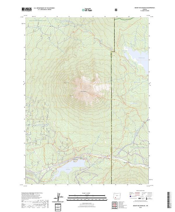
1955 Mt. Mc Loughlin
Jackson County, OR
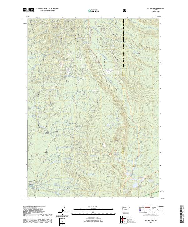
1955 Rustler Peak
Jackson County, OR
1974 Medford East
Jackson County, OR

1974 Medford NW
Jackson County, OR
1974 Medford West
Jackson County, OR
1983 Applegate
Jackson County, OR
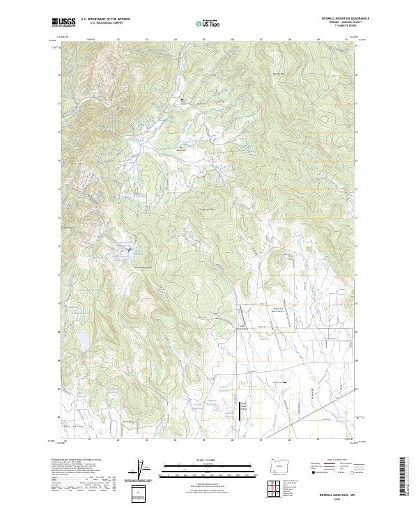
1983 Boswell Mtn
Jackson County, OR
1983 Carberry Creek
Jackson County, OR
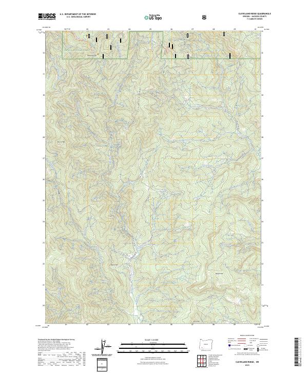
1983 Cleveland Ridge
Jackson County, OR
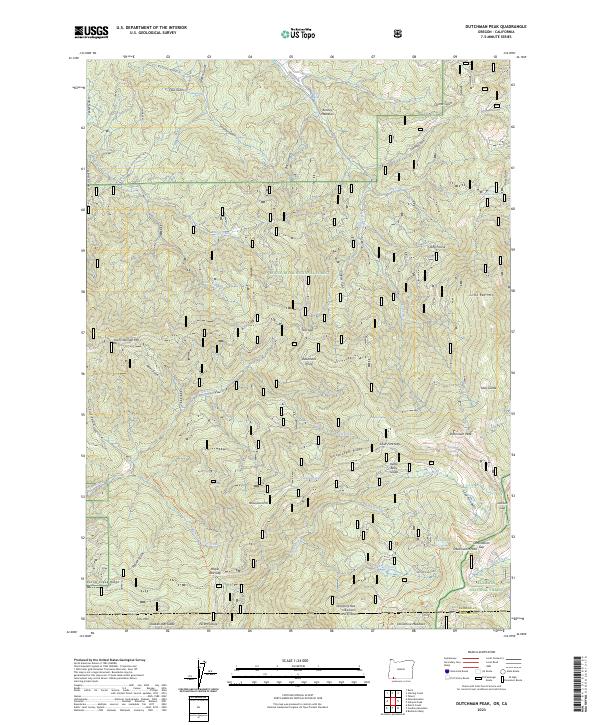
1983 Dutchman Peak
Jackson County, OR
1983 Emigrant Lake
Jackson County, OR

1983 King Mountain
Jackson County, OR
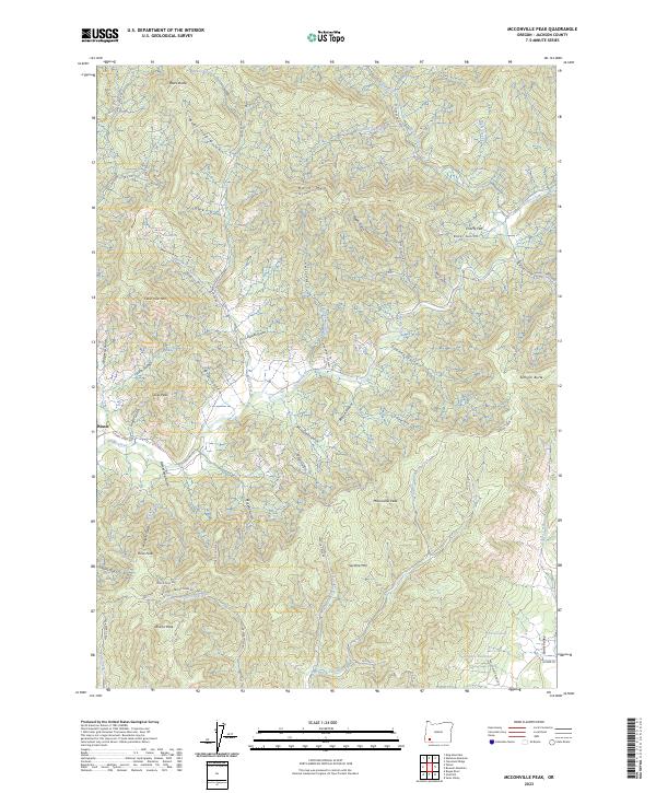
1983 Mc Conville Peak
Jackson County, OR
1983 Medford East
Jackson County, OR

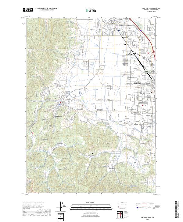
1983 Medford West
Jackson County, OR
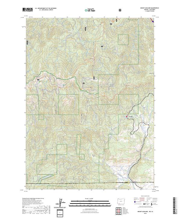
1983 Mt. Ashland
Jackson County, OR
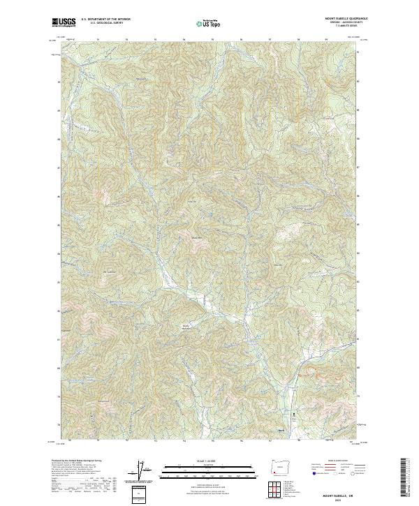
1983 Mt. Isabelle
Jackson County, OR
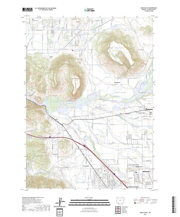
1983 Sams Valley
Jackson County, OR
1983 Siskiyou Pass
Jackson County, OR
1983 Siskiyou Peak
Jackson County, OR
1983 Skeleton Mtn
Jackson County, OR
1983 Squaw Lakes
Jackson County, OR
1983 Sterling Creek
Jackson County, OR
1983 Tallowbox Mtn
Jackson County, OR
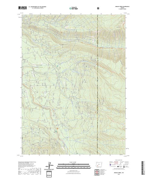
1985 Imnaha Creek
Jackson County, OR
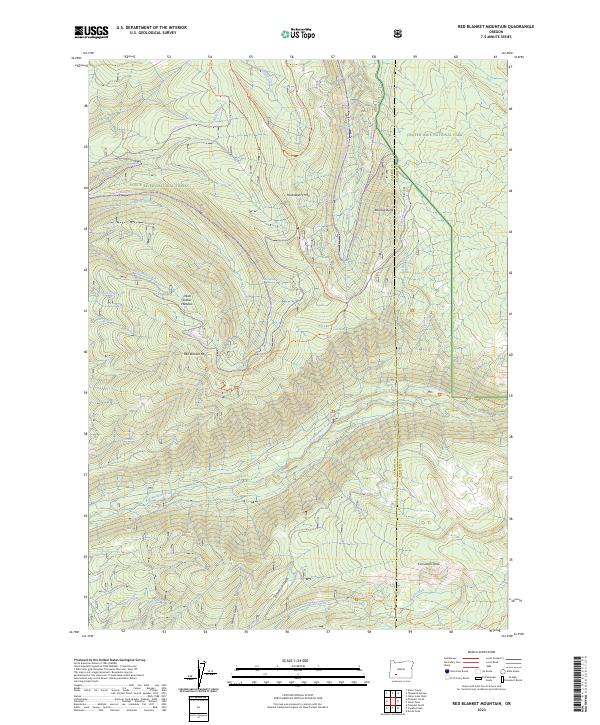
1985 Red Blanket Mountain
Jackson County, OR
1985 Rustler Peak
Jackson County, OR
1985 Thousand Springs
Jackson County, OR
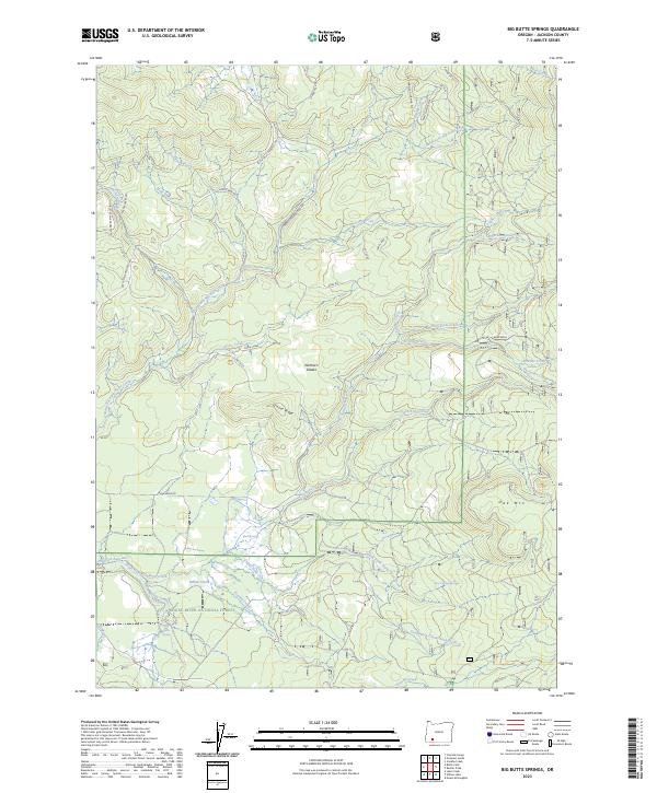
1988 Big Butte Springs
Jackson County, OR
1988 Brown Mountain
Jackson County, OR
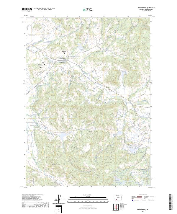
1988 Brownsboro
Jackson County, OR
1988 Cascade Gorge
Jackson County, OR
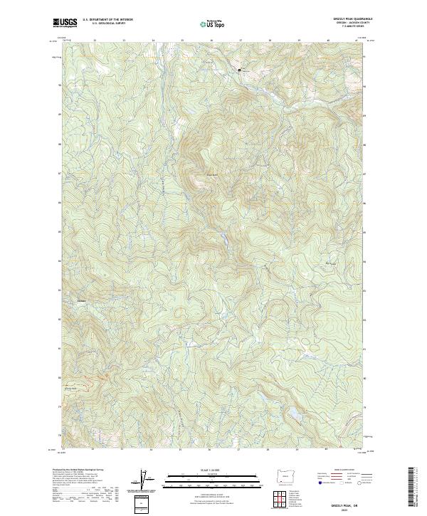
1988 Grizzly Peak
Jackson County, OR
1988 Hyatt Reservoir
Jackson County, OR
1988 Lakecreek
Jackson County, OR
1988 Little Chinquapin Mtn
Jackson County, OR
1988 McLeod
Jackson County, OR
1988 Mt. Mc Loughlin
Jackson County, OR
1988 Obenchain Mtn
Jackson County, OR
1988 Parker Mtn
Jackson County, OR
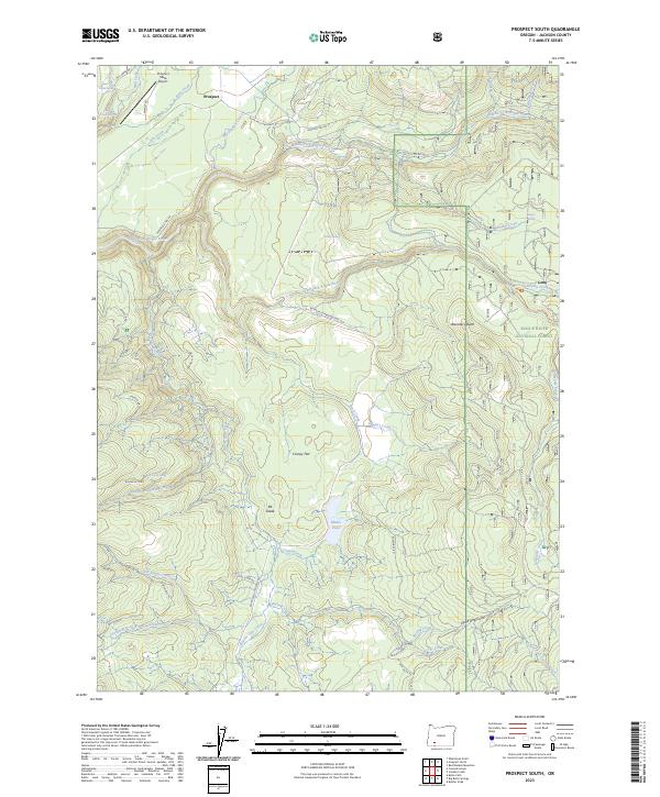
1988 Prospect South
Jackson County, OR
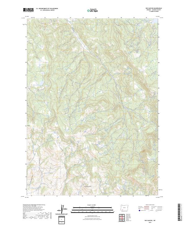
1988 Rio Canyon
Jackson County, OR
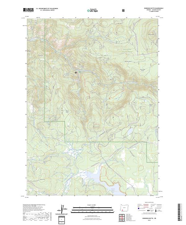
1988 Robinson Butte
Jackson County, OR
1988 Soda Mountain
Jackson County, OR
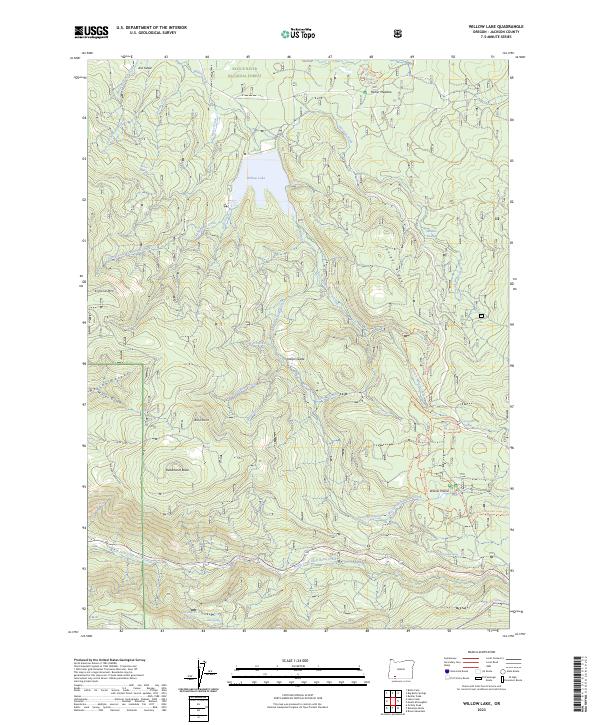
1988 Willow Lake
Jackson County, OR

1989 Crater Lake
Jackson County, OR

1989 Prospect North
Jackson County, OR
1989 Sugarpine Creek
Jackson County, OR
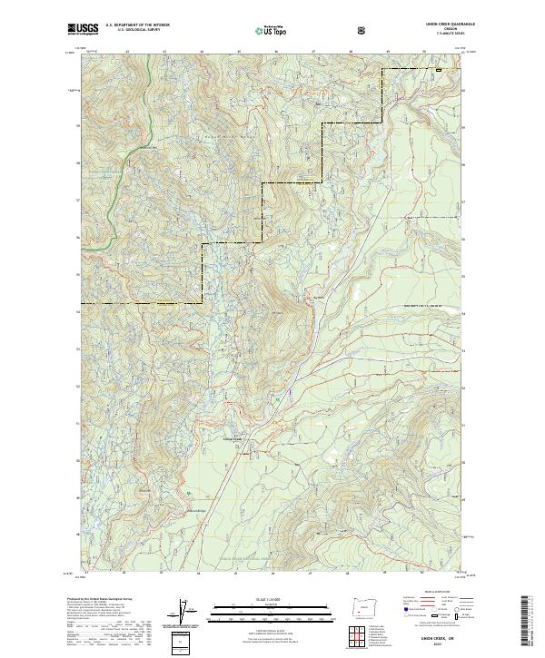
1989 Union Creek
Jackson County, OR
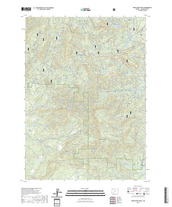
1989 Whetstone Point
Jackson County, OR
1996 Carberry Creek
Jackson County, OR
1996 Dutchman Peak
Jackson County, OR

1996 King Mountain
Jackson County, OR
1996 Squaw Lakes
Jackson County, OR
1996 Sterling Creek
Jackson County, OR
1996 Tallowbox Mountain
Jackson County, OR
1997 Big Butte Springs
Jackson County, OR

1997 Cascade Gorge
Jackson County, OR
1997 Imnaha Creek
Jackson County, OR
1997 Lakecreek
Jackson County, OR
1997 Little Chinquapin Mountain
Jackson County, OR
1997 Mc Leod
Jackson County, OR
1997 Prospect North
Jackson County, OR
1997 Prospect South
Jackson County, OR
1997 Red Blanket Mountain
Jackson County, OR
1997 Robinson Butte
Jackson County, OR
1997 Rustler Peak
Jackson County, OR
1997 Thousand Springs
Jackson County, OR
1997 Union Creek
Jackson County, OR
1997 Whetstone Point
Jackson County, OR
1997 Willow Lake
Jackson County, OR
1998 Brown Mountain
Jackson County, OR
1998 Cleveland Ridge
Jackson County, OR
1998 Mount Ashland
Jackson County, OR
1998 Mount Mc Loughlin
Jackson County, OR
1998 Siskiyou Peak
Jackson County, OR
1998 Skeleton Mountain
Jackson County, OR

2001 Siskiyou Pass
Jackson County, OR
2011 Applegate
Jackson County, OR
2011 Big Butte Springs
Jackson County, OR
2011 Boswell Mountain
Jackson County, OR
2011 Brown Mountain
Jackson County, OR
2011 Brownsboro
Jackson County, OR
2011 Carberry Creek
Jackson County, OR
2011 Cascade Gorge
Jackson County, OR
2011 Cleveland Ridge
Jackson County, OR
2011 Dutchman Peak
Jackson County, OR
2011 Emigrant Lake
Jackson County, OR
2011 Grizzly Peak
Jackson County, OR
2011 Hyatt Reservoir
Jackson County, OR
2011 Imnaha Creek
Jackson County, OR
2011 King Mountain
Jackson County, OR
2011 Lake Creek
Jackson County, OR
2011 Little Chinquapin Mountain
Jackson County, OR
2011 McConville Peak
Jackson County, OR
2011 McLeod
Jackson County, OR
2011 Medford East
Jackson County, OR
2011 Medford West
Jackson County, OR
2011 Mount Ashland
Jackson County, OR
2011 Mount Isabelle
Jackson County, OR
2011 Mount McLoughlin
Jackson County, OR
2011 Mule Mountain
Jackson County, OR
2011 Obenchain Mountain
Jackson County, OR
2011 Parker Mountain
Jackson County, OR
2011 Prospect North
Jackson County, OR
2011 Prospect South
Jackson County, OR
2011 Red Blanket Mountain
Jackson County, OR
2011 Rio Canyon
Jackson County, OR
2011 Robinson Butte
Jackson County, OR
2011 Rustler Peak
Jackson County, OR
2011 Sams Valley
Jackson County, OR
2011 Siskiyou Peak
Jackson County, OR
2011 Skeleton Mountain
Jackson County, OR
2011 Soda Mountain
Jackson County, OR
2011 Sterling Creek
Jackson County, OR
2011 Sugarpine Creek
Jackson County, OR
2011 Tallowbox Mountain
Jackson County, OR
2011 Thousand Springs
Jackson County, OR
2011 Union Creek
Jackson County, OR
2011 Whetstone Point
Jackson County, OR
2011 Willow Lake
Jackson County, OR
2012 Siskiyou Pass
Jackson County, OR
2014 Applegate
Jackson County, OR
2014 Big Butte Springs
Jackson County, OR
2014 Boswell Mountain
Jackson County, OR
2014 Brown Mountain
Jackson County, OR

2014 Brownsboro
Jackson County, OR
2014 Carberry Creek
Jackson County, OR
2014 Cascade Gorge
Jackson County, OR
2014 Cleveland Ridge
Jackson County, OR
2014 Dutchman Peak
Jackson County, OR
2014 Emigrant Lake
Jackson County, OR
2014 Grizzly Peak
Jackson County, OR
2014 Hyatt Reservoir
Jackson County, OR
2014 Imnaha Creek
Jackson County, OR
2014 King Mountain
Jackson County, OR

2014 Lake Creek
Jackson County, OR

2014 Little Chinquapin Mountain
Jackson County, OR
2014 McConville Peak
Jackson County, OR
2014 McLeod
Jackson County, OR
2014 Medford East
Jackson County, OR
2014 Medford West
Jackson County, OR
2014 Mount Ashland
Jackson County, OR
2014 Mount Isabelle
Jackson County, OR
2014 Mount McLoughlin
Jackson County, OR
2014 Mule Mountain
Jackson County, OR
2014 Obenchain Mountain
Jackson County, OR
2014 Parker Mountain
Jackson County, OR
2014 Prospect North
Jackson County, OR
2014 Prospect South
Jackson County, OR
2014 Red Blanket Mountain
Jackson County, OR
2014 Rio Canyon
Jackson County, OR
2014 Robinson Butte
Jackson County, OR
2014 Rustler Peak
Jackson County, OR
2014 Sams Valley
Jackson County, OR
2014 Siskiyou Pass
Jackson County, OR
2014 Siskiyou Peak
Jackson County, OR
2014 Skeleton Mountain
Jackson County, OR
2014 Soda Mountain
Jackson County, OR
2014 Sterling Creek
Jackson County, OR
2014 Sugarpine Creek
Jackson County, OR
2014 Tallowbox Mountain
Jackson County, OR
2014 Thousand Springs
Jackson County, OR
2014 Union Creek
Jackson County, OR
2014 Whetstone Point
Jackson County, OR
2014 Willow Lake
Jackson County, OR
2017 Applegate
Jackson County, OR
2017 Big Butte Springs
Jackson County, OR
2017 Boswell Mountain
Jackson County, OR
2017 Brown Mountain
Jackson County, OR
2017 Brownsboro
Jackson County, OR
2017 Carberry Creek
Jackson County, OR
2017 Cascade Gorge
Jackson County, OR
2017 Cleveland Ridge
Jackson County, OR
2017 Dutchman Peak
Jackson County, OR
2017 Emigrant Lake
Jackson County, OR
2017 Grizzly Peak
Jackson County, OR
2017 Hyatt Reservoir
Jackson County, OR
2017 Imnaha Creek
Jackson County, OR
2017 King Mountain
Jackson County, OR
2017 Lake Creek
Jackson County, OR
2017 Little Chinquapin Mountain
Jackson County, OR
2017 McConville Peak
Jackson County, OR
2017 McLeod
Jackson County, OR
2017 Medford East
Jackson County, OR
2017 Medford West
Jackson County, OR
2017 Mount Ashland
Jackson County, OR
2017 Mount Isabelle
Jackson County, OR
2017 Mount McLoughlin
Jackson County, OR
2017 Mule Mountain
Jackson County, OR

2017 Obenchain Mountain
Jackson County, OR
2017 Parker Mountain
Jackson County, OR
2017 Prospect North
Jackson County, OR
2017 Prospect South
Jackson County, OR
2017 Red Blanket Mountain
Jackson County, OR
2017 Rio Canyon
Jackson County, OR
2017 Robinson Butte
Jackson County, OR
2017 Rustler Peak
Jackson County, OR
2017 Sams Valley
Jackson County, OR
2017 Siskiyou Pass
Jackson County, OR
2017 Siskiyou Peak
Jackson County, OR
2017 Skeleton Mountain
Jackson County, OR
2017 Soda Mountain
Jackson County, OR
2017 Sterling Creek
Jackson County, OR
2017 Sugarpine Creek
Jackson County, OR
2017 Tallowbox Mountain
Jackson County, OR
2017 Thousand Springs
Jackson County, OR
2017 Union Creek
Jackson County, OR
2017 Whetstone Point
Jackson County, OR
2017 Willow Lake
Jackson County, OR
2020 Applegate
Jackson County, OR
2020 Big Butte Springs
Jackson County, OR
2020 Boswell Mountain
Jackson County, OR
2020 Brown Mountain
Jackson County, OR
2020 Brownsboro
Jackson County, OR
2020 Carberry Creek
Jackson County, OR
2020 Cascade Gorge
Jackson County, OR
2020 Cleveland Ridge
Jackson County, OR
2020 Dutchman Peak
Jackson County, OR

2020 Emigrant Lake
Jackson County, OR
2020 Grizzly Peak
Jackson County, OR

2020 Hyatt Reservoir
Jackson County, OR
2020 Imnaha Creek
Jackson County, OR
2020 King Mountain
Jackson County, OR
2020 Lake Creek
Jackson County, OR
2020 Little Chinquapin Mountain
Jackson County, OR
2020 McConville Peak
Jackson County, OR
2020 McLeod
Jackson County, OR
2020 Medford East
Jackson County, OR
2020 Medford West
Jackson County, OR
2020 Mount Ashland
Jackson County, OR
2020 Mount Isabelle
Jackson County, OR
2020 Mount McLoughlin
Jackson County, OR
2020 Mule Mountain
Jackson County, OR
2020 Obenchain Mountain
Jackson County, OR
2020 Parker Mountain
Jackson County, OR
2020 Prospect North
Jackson County, OR
2020 Prospect South
Jackson County, OR
2020 Red Blanket Mountain
Jackson County, OR
2020 Rio Canyon
Jackson County, OR
2020 Robinson Butte
Jackson County, OR
2020 Rustler Peak
Jackson County, OR
2020 Sams Valley
Jackson County, OR
2020 Siskiyou Pass
Jackson County, OR
2020 Siskiyou Peak
Jackson County, OR
2020 Skeleton Mountain
Jackson County, OR
2020 Soda Mountain
Jackson County, OR

2020 Sterling Creek
Jackson County, OR
2020 Sugarpine Creek
Jackson County, OR
2020 Tallowbox Mountain
Jackson County, OR
2020 Thousand Springs
Jackson County, OR
2020 Union Creek
Jackson County, OR
2020 Whetstone Point
Jackson County, OR
2020 Willow Lake
Jackson County, OR
2023 Big Butte Springs
Jackson County, OR
2023 Boswell Mountain
Jackson County, OR
2023 Brownsboro
Jackson County, OR

2023 Carberry Creek
Jackson County, OR
2023 Cleveland Ridge
Jackson County, OR
2023 Dutchman Peak
Jackson County, OR
2023 Grizzly Peak
Jackson County, OR
2023 Imnaha Creek
Jackson County, OR
2023 McConville Peak
Jackson County, OR
2023 Medford West
Jackson County, OR
2023 Mount Ashland
Jackson County, OR
2023 Mount Isabelle
Jackson County, OR
2023 Mount McLoughlin
Jackson County, OR
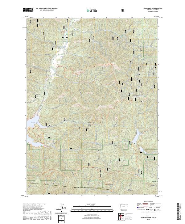
2023 Mule Mountain
Jackson County, OR
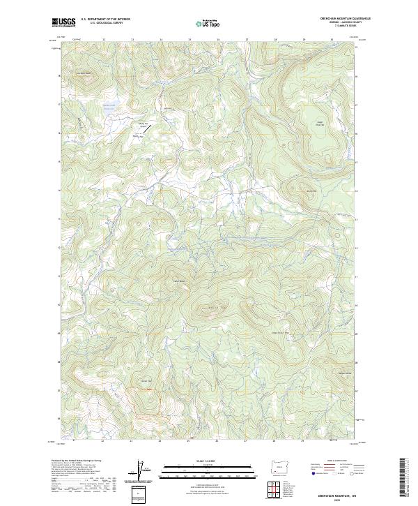
2023 Obenchain Mountain
Jackson County, OR
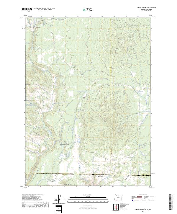
2023 Parker Mountain
Jackson County, OR
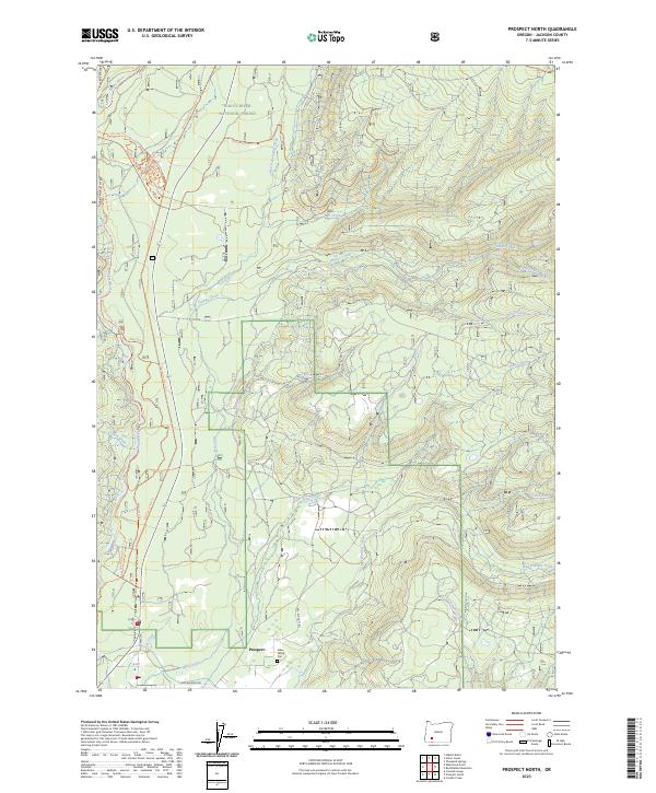
2023 Prospect North
Jackson County, OR
2023 Prospect South
Jackson County, OR
2023 Red Blanket Mountain
Jackson County, OR
2023 Rio Canyon
Jackson County, OR
2023 Robinson Butte
Jackson County, OR
2023 Rustler Peak
Jackson County, OR
2023 Siskiyou Pass
Jackson County, OR
2023 Siskiyou Peak
Jackson County, OR
2023 Skeleton Mountain
Jackson County, OR
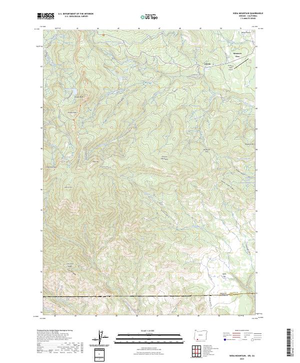
2023 Soda Mountain
Jackson County, OR
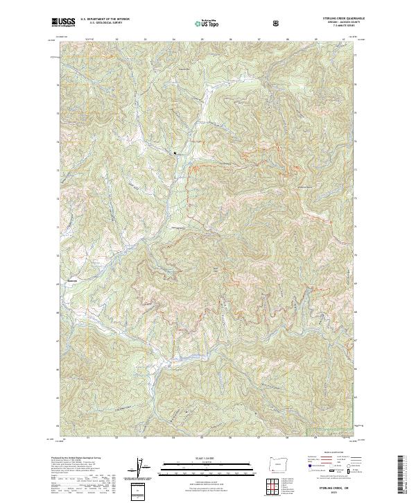
2023 Sterling Creek
Jackson County, OR
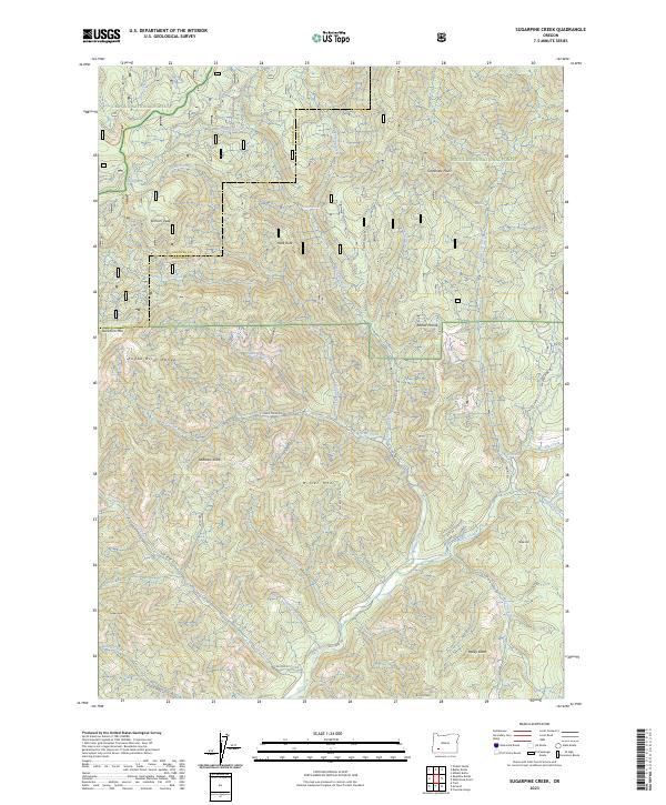
2023 Sugarpine Creek
Jackson County, OR
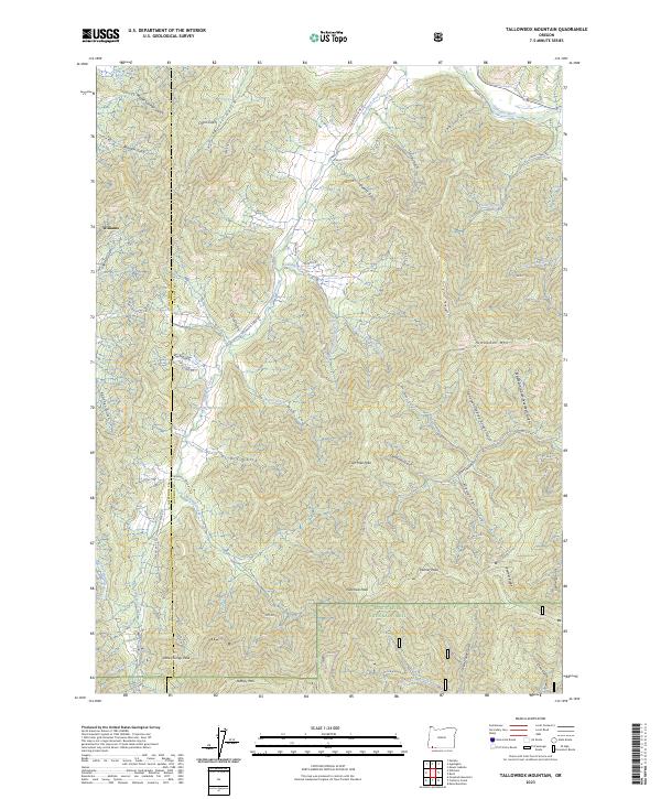
2023 Tallowbox Mountain
Jackson County, OR
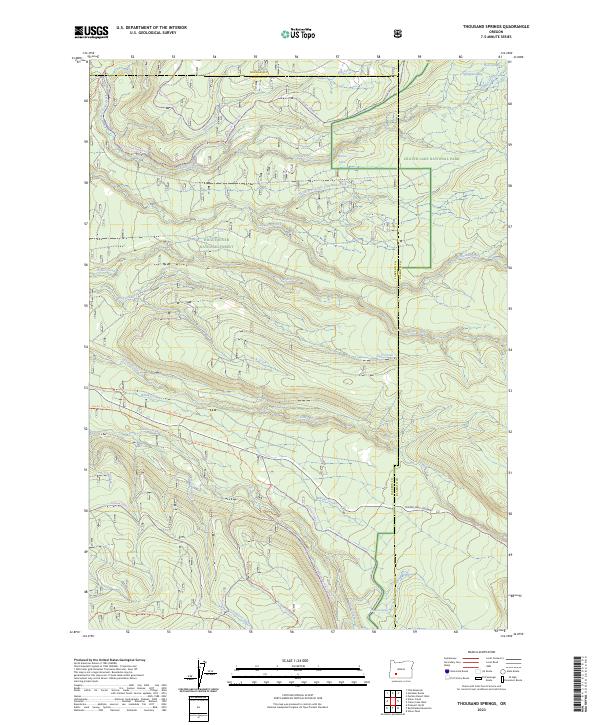
2023 Thousand Springs
Jackson County, OR
2023 Union Creek
Jackson County, OR
2023 Whetstone Point
Jackson County, OR
2023 Willow Lake
Jackson County, OR
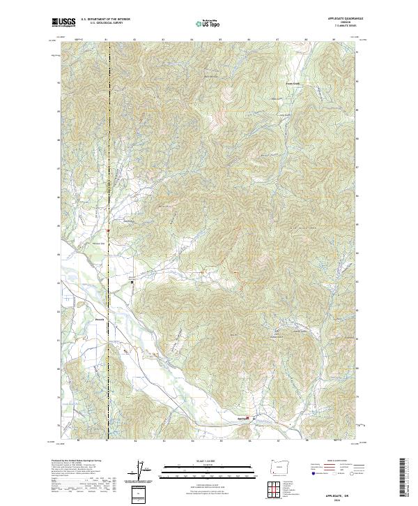
2024 Applegate
Jackson County, OR
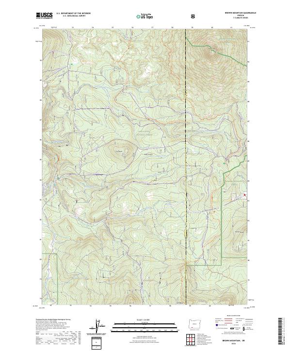
2024 Brown Mountain
Jackson County, OR
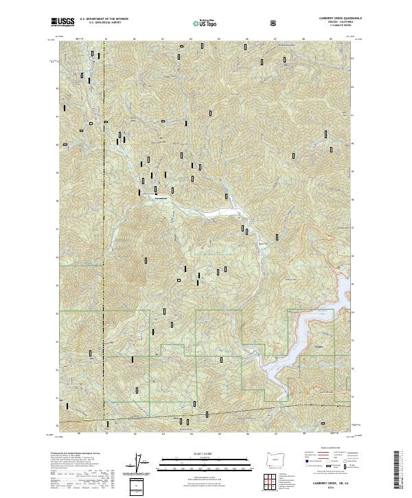
2024 Carberry Creek
Jackson County, OR
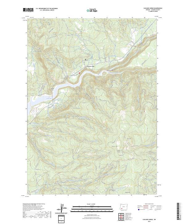
2024 Cascade Gorge
Jackson County, OR
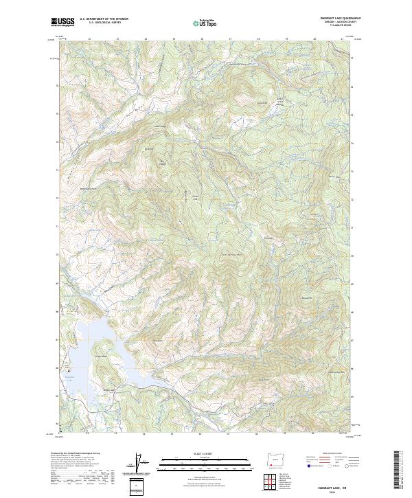
2024 Emigrant Lake
Jackson County, OR
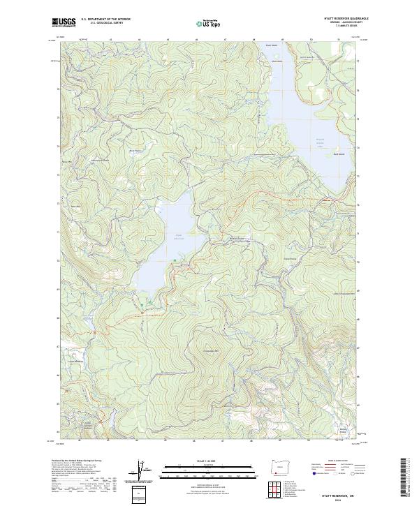
2024 Hyatt Reservoir
Jackson County, OR
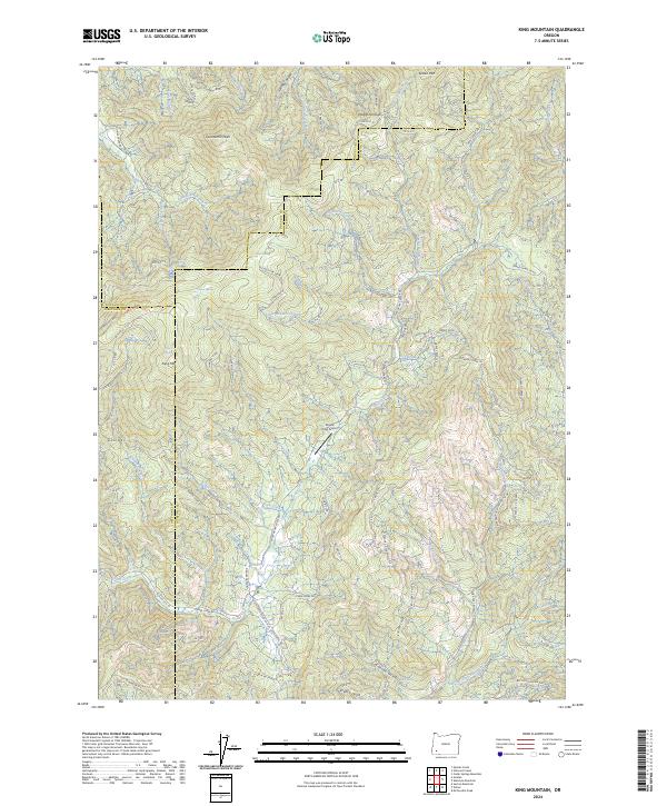
2024 King Mountain
Jackson County, OR
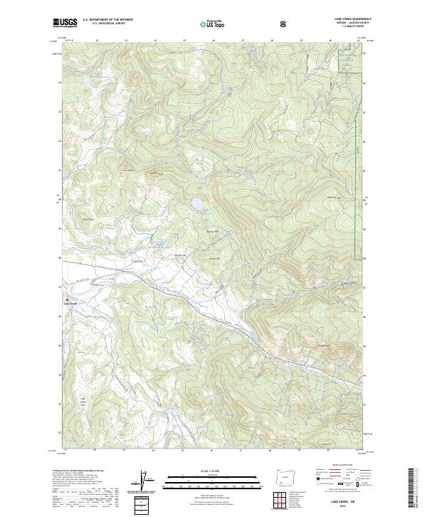
2024 Lake Creek
Jackson County, OR
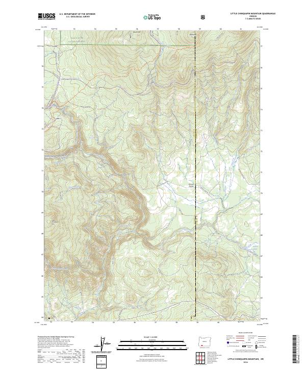
2024 Little Chinquapin Mountain
Jackson County, OR
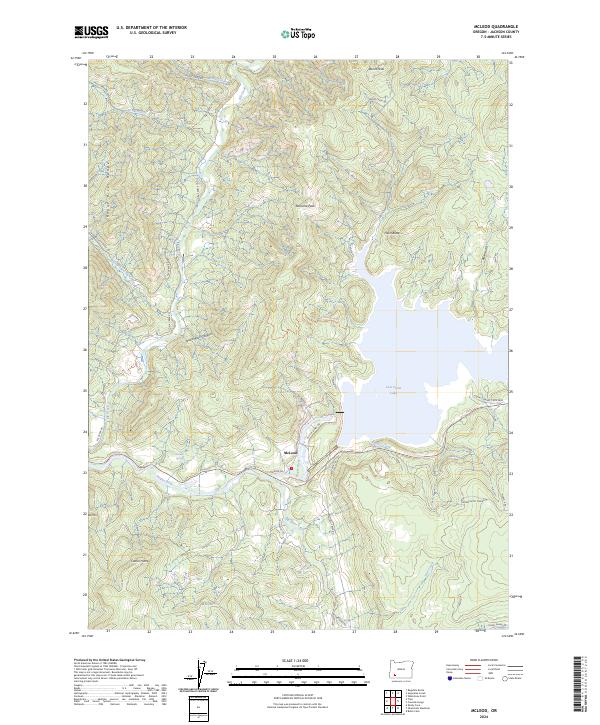
2024 McLeod
Jackson County, OR
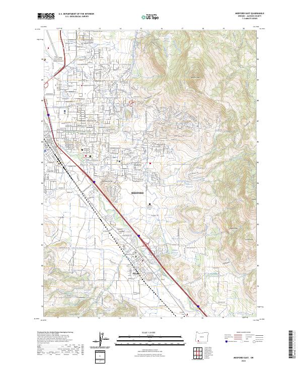
2024 Medford East
Jackson County, OR
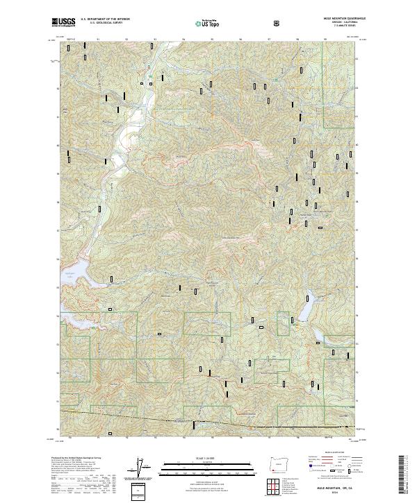
2024 Mule Mountain
Jackson County, OR
2024 Sams Valley
Jackson County, OR