
2023 Map of Newman SW
USGS Topo · Published 2023About this map
Chaparral sits at the intersection of local history and military influence along the New Mexico-Texas border. The settlement’s residential grid expands across the desert floor, evidenced by street names like Hot Peppers Rd and Hueco St that reflect regional character. To the north and east, the landscape is dominated by the sprawling presence of Fort Bliss, illustrating the significant footprint of the United States military in this arid environment.
Find a feature on this map
88 named features on this map. Tap any name to fly to it.
Don’t see what you’re looking for? This feature index may not catch every label — zoom into the map to look around manually.
Map Details
Editions of this 2023 Newman SW Map
This is the sole edition of this map. No revisions or reprints were ever made.
Historical Maps of El Paso Through Time
158 maps found

1916 Tonuco
Doña Ana County, NM

1917 Mt. Riley
Doña Ana County, NM

1917 Noria
Doña Ana County, NM

1918 Mt. Riley
Doña Ana County, NM

1918 Noria
Doña Ana County, NM

1929 Mt. Riley
Doña Ana County, NM

1932 Tonuco
Doña Ana County, NM

1941 Aden
Doña Ana County, NM

1941 Organ Peak
Doña Ana County, NM

1943 Aden
Doña Ana County, NM

1943 Afton
Doña Ana County, NM

1943 Corralitos Ranch
Doña Ana County, NM

1943 Organ Peak
Doña Ana County, NM

1947 Point Of Sands 2
Doña Ana County, NM

1948 Bear Peak
Doña Ana County, NM

1948 Davies Tank
Doña Ana County, NM

1948 Kaylor Mountain
Doña Ana County, NM

1948 Lake Lucero
Doña Ana County, NM

1948 Lake Lucero SW
Doña Ana County, NM

1948 Newman NW
Doña Ana County, NM

1948 San Diego Mountain
Doña Ana County, NM

1950 Lake Lucero
Doña Ana County, NM

1950 Lake Lucero SW
Doña Ana County, NM

1951 Mt. Riley
Doña Ana County, NM

1952 Parker Lake
Doña Ana County, NM

1955 Bishop Cap
Doña Ana County, NM

1955 Davies Tank
Doña Ana County, NM

1955 Newman NW
Doña Ana County, NM

1955 Newman SW
Doña Ana County, NM

1955 Organ Peak
Doña Ana County, NM

1955 Organ Peak NW
Doña Ana County, NM

1955 Strauss
Doña Ana County, NM

1955 Tortugas Mountain
Doña Ana County, NM

1956 Parker Lake
Doña Ana County, NM

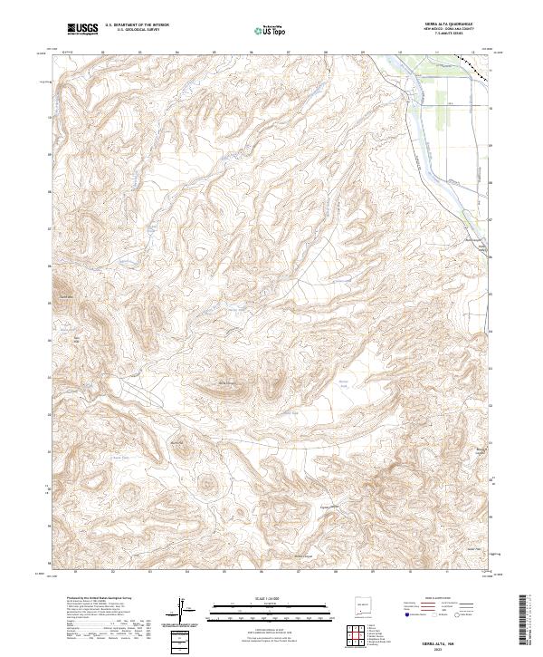
1959 Sierra Alta
Doña Ana County, NM

1959 Souse Springs
Doña Ana County, NM

1978 Afton
Doña Ana County, NM

1978 Dona Ana
Doña Ana County, NM

1978 Leasburg
Doña Ana County, NM

1978 Picacho Mountain
Doña Ana County, NM

1981 Bear Peak
Doña Ana County, NM

1981 Bennett Mountain
Doña Ana County, NM

1981 Fleck Draw
Doña Ana County, NM

1981 Gardner Peak
Doña Ana County, NM

1981 Gilmore Draw
Doña Ana County, NM

1981 Goldenburg Draw
Doña Ana County, NM

1981 Hembrillo Canyon
Doña Ana County, NM

1981 San Andres Peak
Doña Ana County, NM

1982 Heart of the Sands NW
Doña Ana County, NM

1982 Heart of the Sands SW
Doña Ana County, NM

1982 Lake Lucero
Doña Ana County, NM

1982 Selden Canyon
Doña Ana County, NM

1982 Selden Canyon NE
Doña Ana County, NM

1982 Summerford Mountain
Doña Ana County, NM

1982 Taylor Well
Doña Ana County, NM

1982 Thorn Well
Doña Ana County, NM

1985 Aden Crater
Doña Ana County, NM

1985 Aden Hills
Doña Ana County, NM

1985 Guzmans Lookout Mountain
Doña Ana County, NM

1985 Kilbourne Hole
Doña Ana County, NM

1985 Lanark
Doña Ana County, NM

1985 Magdalena Gap
Doña Ana County, NM

1985 Magdalena Peak
Doña Ana County, NM

1985 Mount Aden
Doña Ana County, NM

1985 Mount Aden SW
Doña Ana County, NM

1985 Mount Riley
Doña Ana County, NM

1985 Mount Riley SE
Doña Ana County, NM

1985 Noria
Doña Ana County, NM

1985 Potrillo
Doña Ana County, NM

1985 Potrillo Peak
Doña Ana County, NM

1985 Rough And Ready Hills
Doña Ana County, NM

1985 Sleeping Lady Hills
Doña Ana County, NM

1994 Strauss
Doña Ana County, NM

1996 Aden Crater
Doña Ana County, NM

1996 Aden Hills
Doña Ana County, NM

1996 Afton
Doña Ana County, NM

1996 Afton NW
Doña Ana County, NM

1996 Bear Peak
Doña Ana County, NM

1996 Bishop Cap
Doña Ana County, NM

1996 Black Mesa
Doña Ana County, NM

1996 Dona Ana
Doña Ana County, NM

1996 Fleck Draw
Doña Ana County, NM

1996 Gardner Peak
Doña Ana County, NM

1996 Gilmore Draw
Doña Ana County, NM

1996 Goldenburg Draw
Doña Ana County, NM

1996 Kilbourne Hole
Doña Ana County, NM

1996 Lanark
Doña Ana County, NM

1996 Leasburg
Doña Ana County, NM

1996 Little Black Mountain
Doña Ana County, NM

1996 Magdalena Peak
Doña Ana County, NM

1996 Mount Aden
Doña Ana County, NM

1996 Mount Aden SW
Doña Ana County, NM

1996 Mount Riley
Doña Ana County, NM

1996 Noria
Doña Ana County, NM

1996 Organ Peak
Doña Ana County, NM

1996 Organ Peak NW
Doña Ana County, NM

1996 Picacho Mountain
Doña Ana County, NM

1996 San Andres Peak
Doña Ana County, NM

1996 Selden Canyon
Doña Ana County, NM

1996 Selden Canyon NE
Doña Ana County, NM

1996 Sierra Alta
Doña Ana County, NM

1996 Sleeping Lady Hills
Doña Ana County, NM

1996 Souse Springs
Doña Ana County, NM

1996 Strauss
Doña Ana County, NM

1996 Summerford Mountain
Doña Ana County, NM

1996 Taylor Well
Doña Ana County, NM

1996 Thorn Well
Doña Ana County, NM

1996 Tortugas Mountain
Doña Ana County, NM

2001 Rough And Ready Hills
Doña Ana County, NM
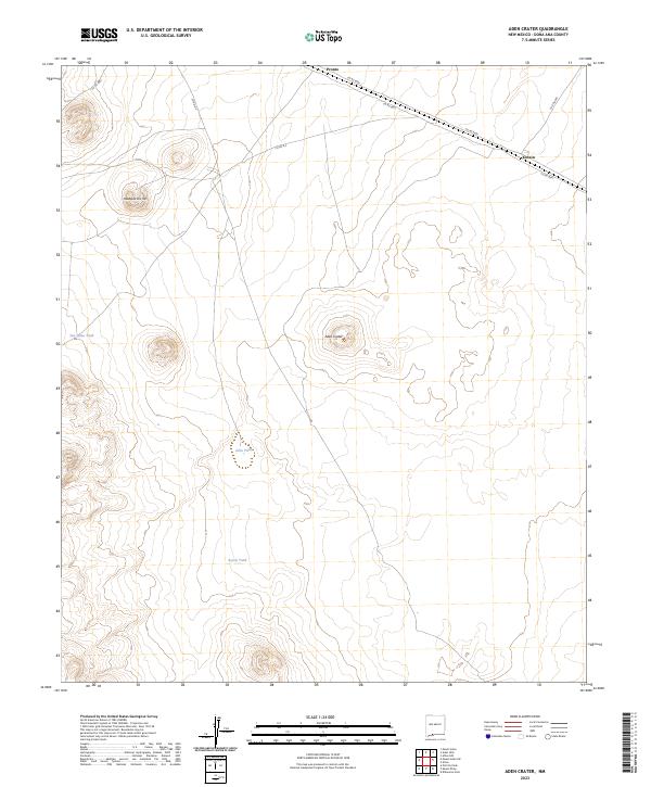
2023 Aden Crater
Doña Ana County, NM
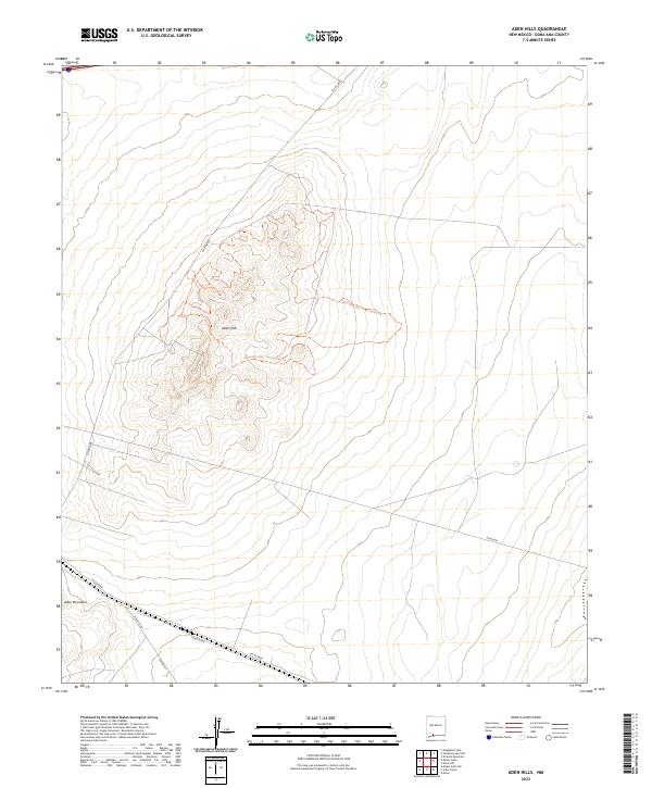
2023 Aden Hills
Doña Ana County, NM

2023 Afton
Doña Ana County, NM
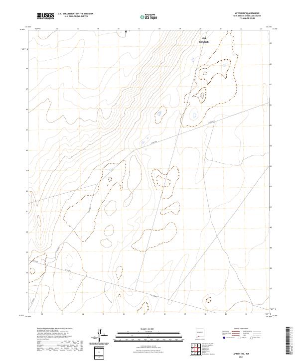
2023 Afton NW
Doña Ana County, NM
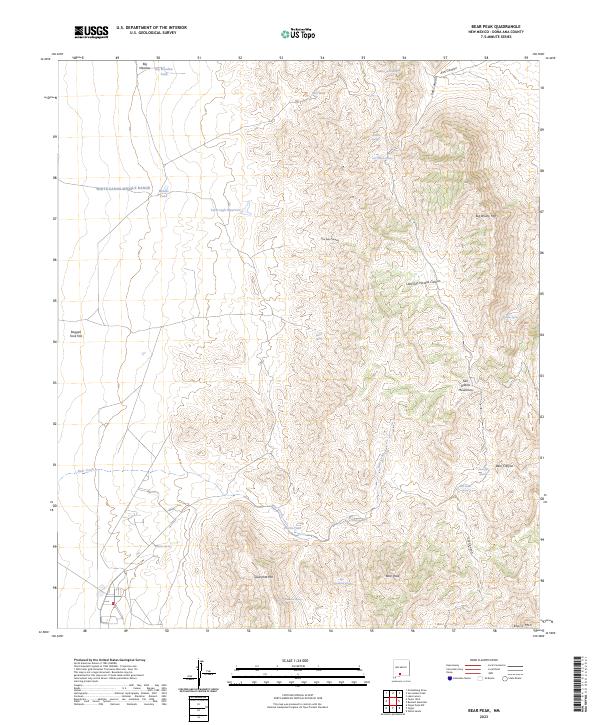
2023 Bear Peak
Doña Ana County, NM
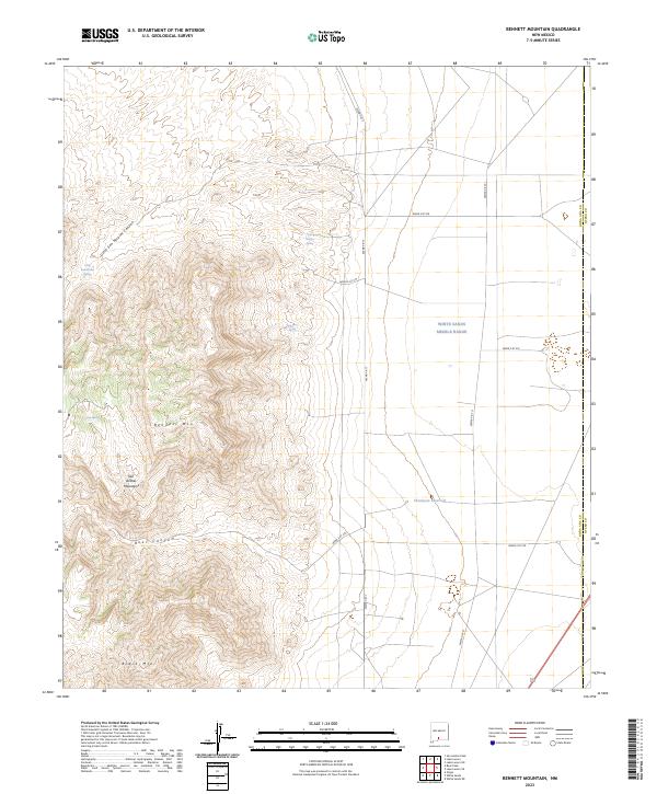
2023 Bennett Mountain
Doña Ana County, NM

2023 Bishop Cap
Doña Ana County, NM
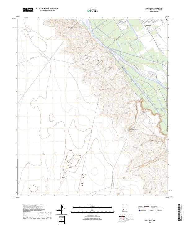
2023 Black Mesa
Doña Ana County, NM
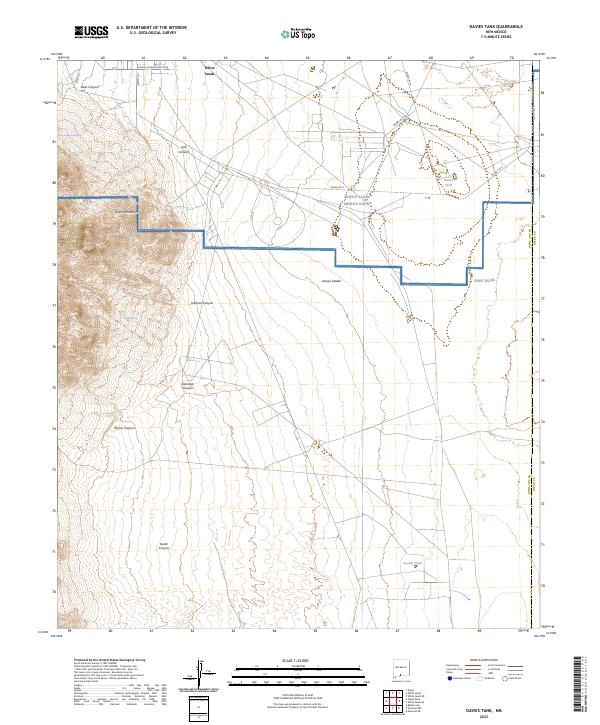
2023 Davies Tank
Doña Ana County, NM

2023 Dona Ana
Doña Ana County, NM
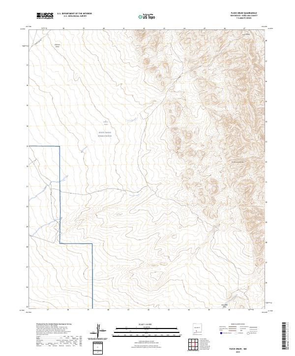
2023 Fleck Draw
Doña Ana County, NM
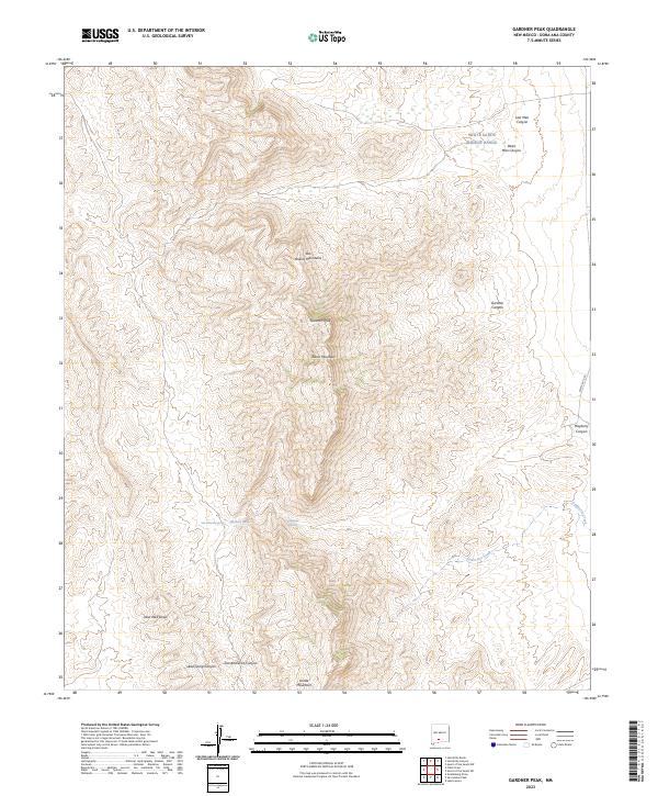
2023 Gardner Peak
Doña Ana County, NM
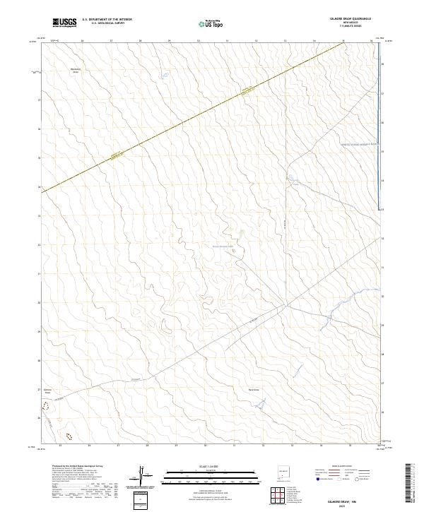
2023 Gilmore Draw
Doña Ana County, NM
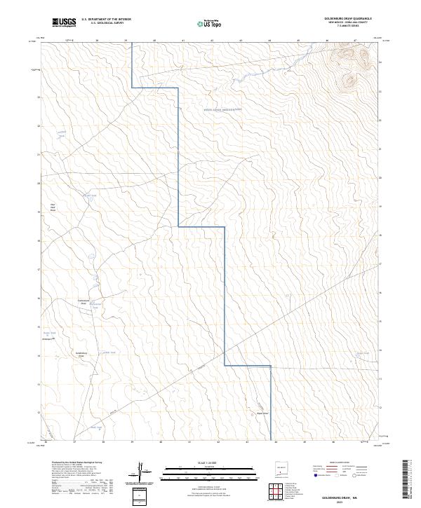
2023 Goldenburg Draw
Doña Ana County, NM
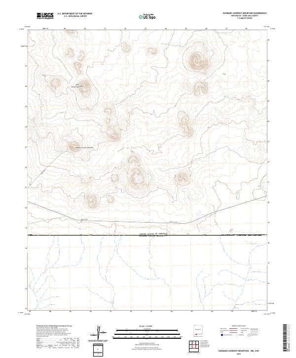
2023 Guzmans Lookout Mountain
Doña Ana County, NM
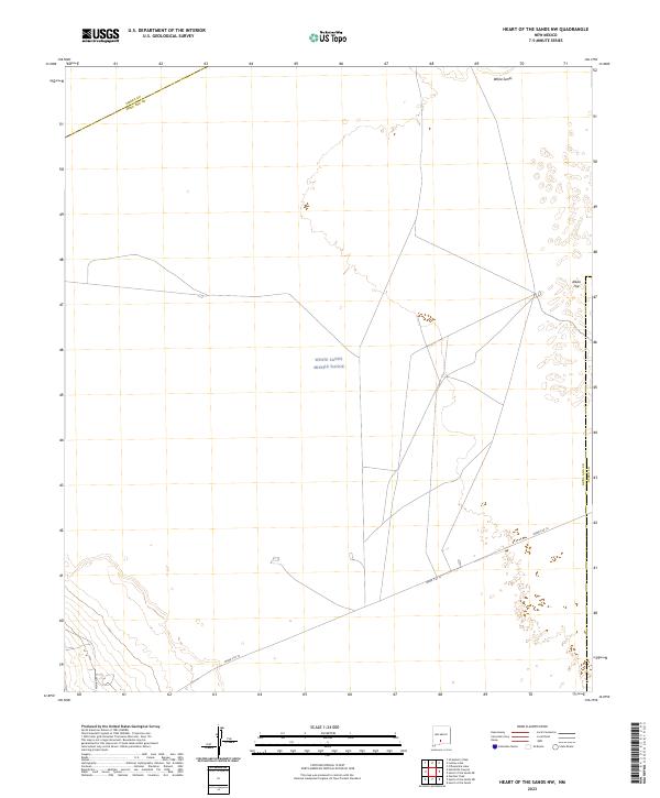
2023 Heart of the Sands NW
Doña Ana County, NM
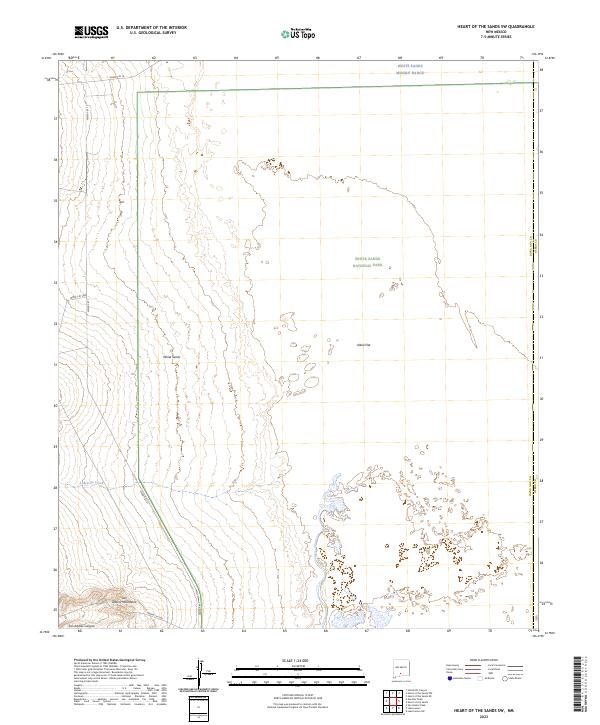
2023 Heart of the Sands SW
Doña Ana County, NM
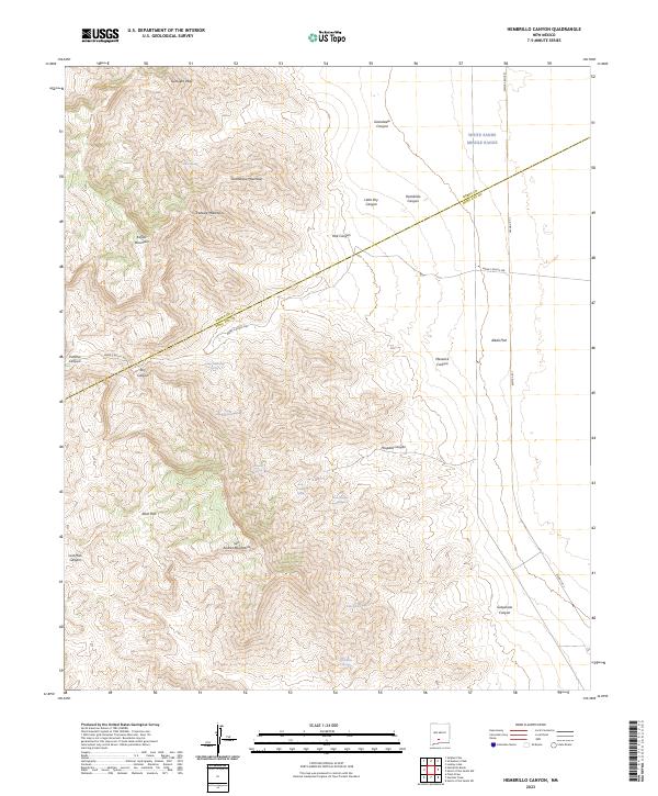
2023 Hembrillo Canyon
Doña Ana County, NM

2023 Kilbourne Hole
Doña Ana County, NM

2023 Lake Lucero
Doña Ana County, NM
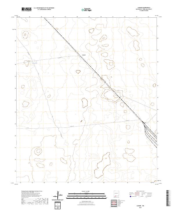
2023 Lanark
Doña Ana County, NM

2023 Leasburg
Doña Ana County, NM
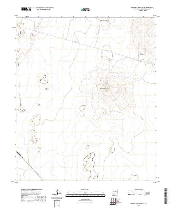
2023 Little Black Mountain
Doña Ana County, NM
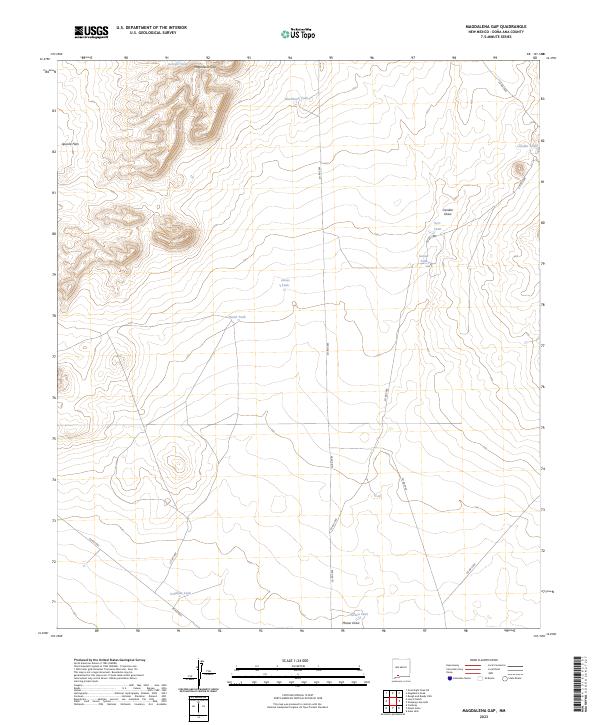
2023 Magdalena Gap
Doña Ana County, NM
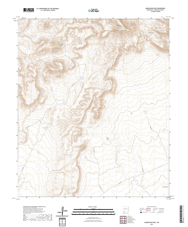
2023 Magdalena Peak
Doña Ana County, NM
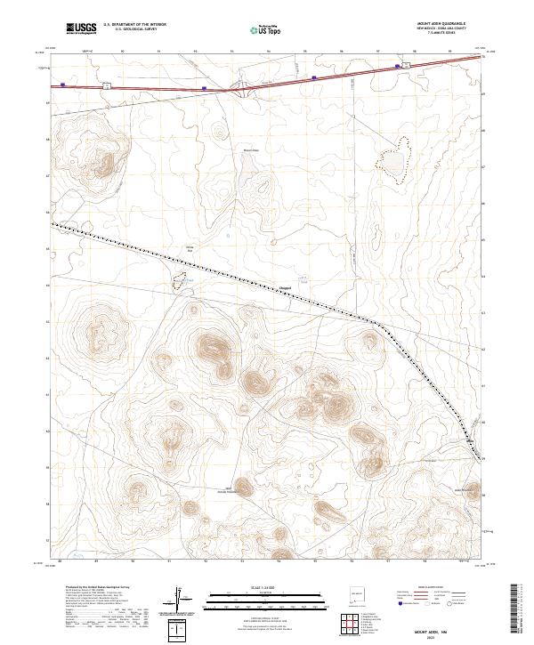
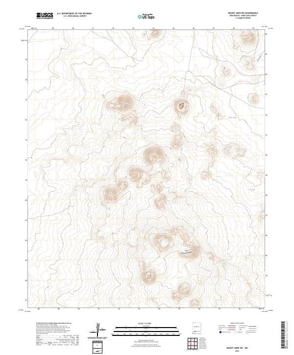
2023 Mount Aden
Doña Ana County, NM
2023 Mount Aden SW
Doña Ana County, NM
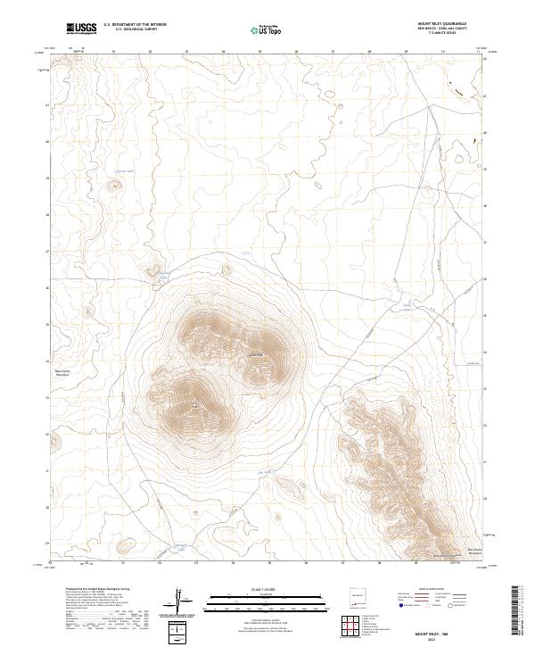
2023 Mount Riley
Doña Ana County, NM
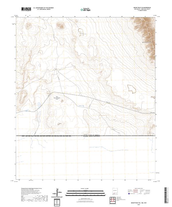
2023 Mount Riley SE
Doña Ana County, NM

2023 Newman NW
Doña Ana County, NM
2023 Newman SW
Doña Ana County, NM
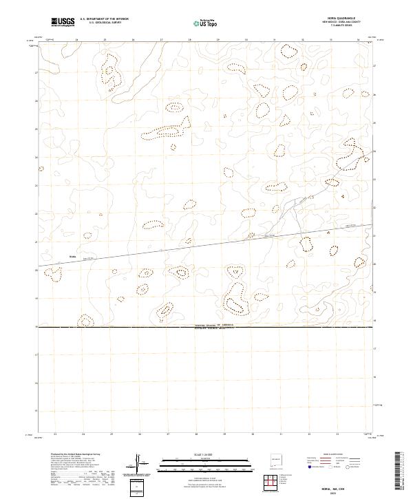
2023 Noria
Doña Ana County, NM

2023 Organ Peak
Doña Ana County, NM

2023 Organ Peak NW
Doña Ana County, NM

2023 Picacho Mountain
Doña Ana County, NM

2023 Potrillo
Doña Ana County, NM
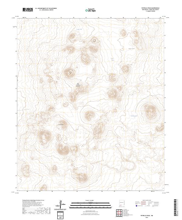
2023 Potrillo Peak
Doña Ana County, NM
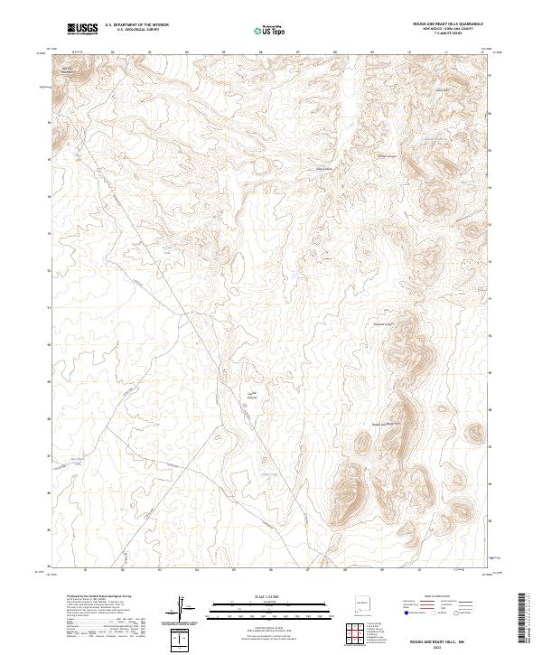
2023 Rough and Ready Hills
Doña Ana County, NM
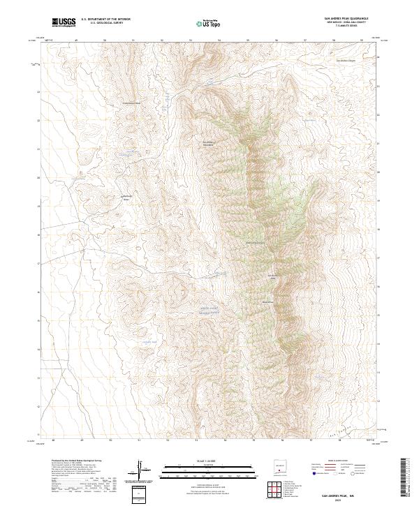
2023 San Andres Peak
Doña Ana County, NM

2023 Selden Canyon
Doña Ana County, NM
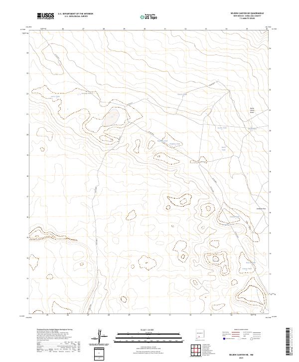
2023 Selden Canyon NE
Doña Ana County, NM
2023 Sierra Alta
Doña Ana County, NM
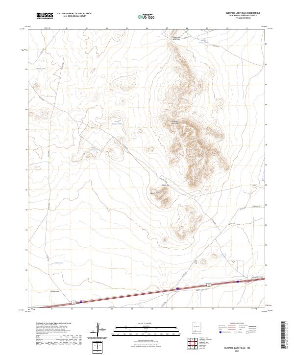
2023 Sleeping Lady Hills
Doña Ana County, NM
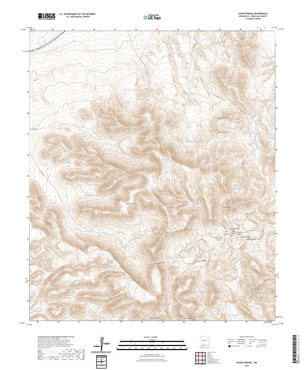
2023 Souse Springs
Doña Ana County, NM
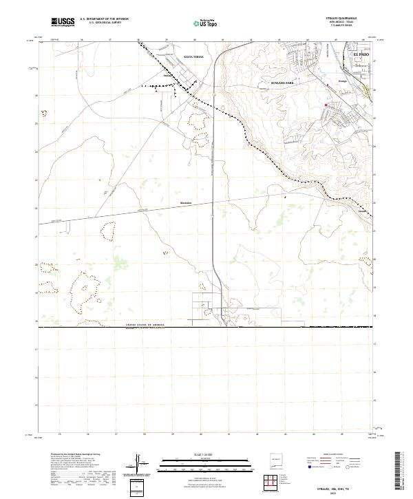
2023 Strauss
Doña Ana County, NM
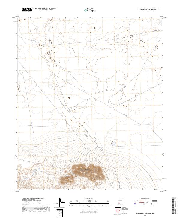
2023 Summerford Mountain
Doña Ana County, NM
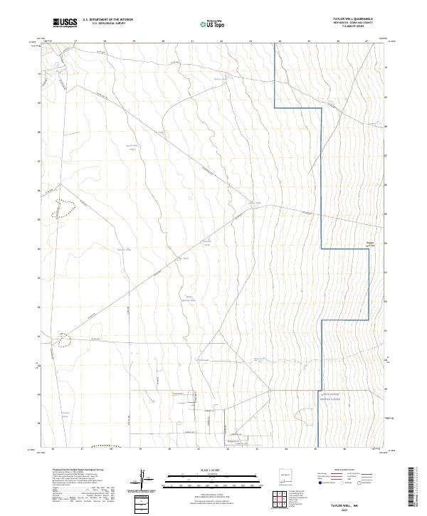
2023 Taylor Well
Doña Ana County, NM
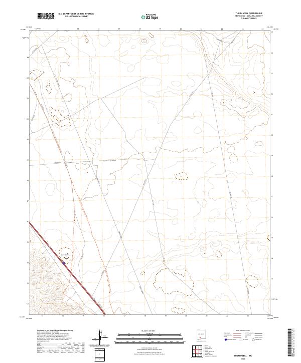
2023 Thorn Well
Doña Ana County, NM

2023 Tortugas Mountain
Doña Ana County, NM